
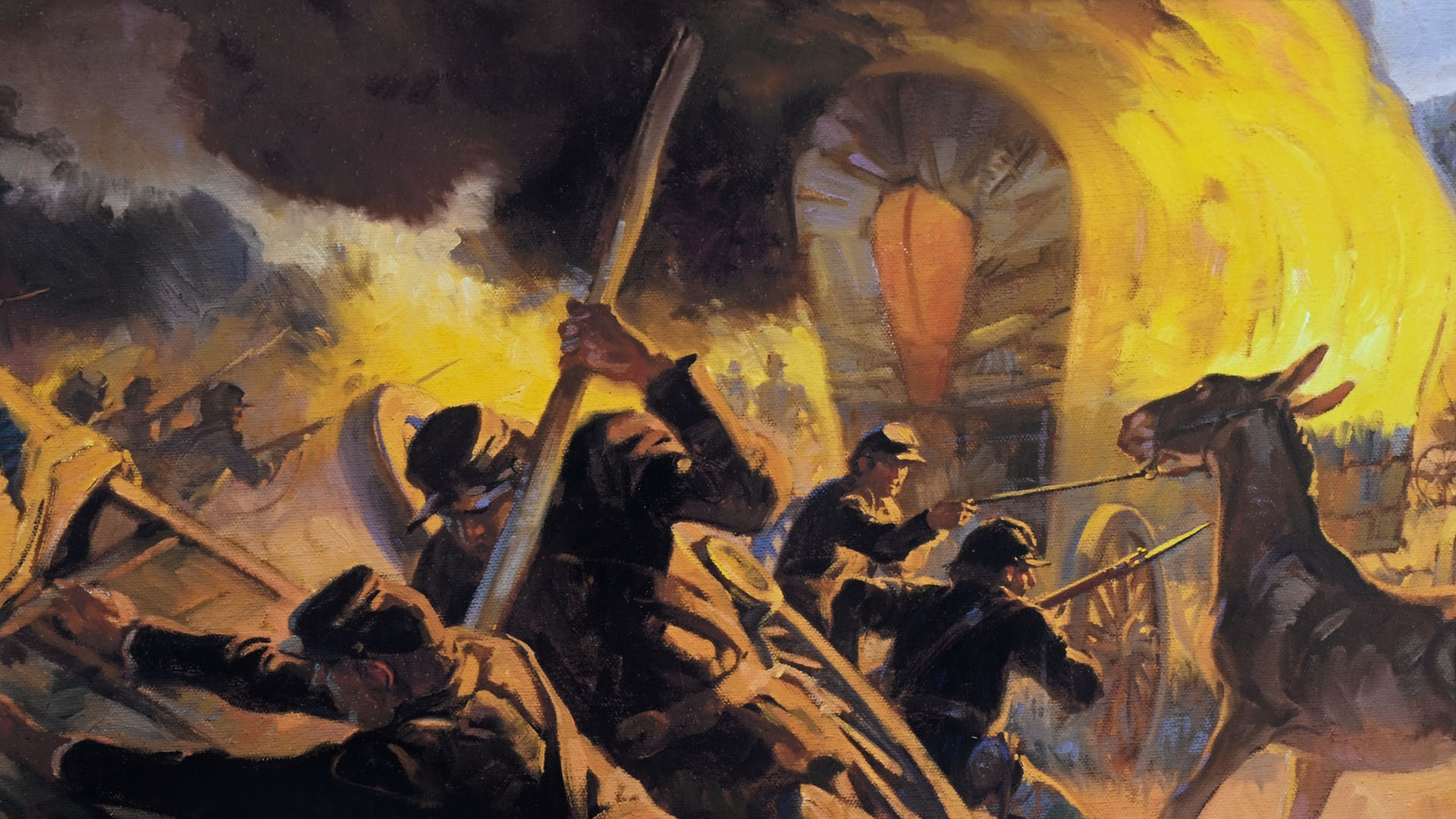
Union troops burn the Confederate supply wagons during the Battle of Glorieta Pass
The Battle of Glorieta Pass is a Civil War battle that took place on March 28, 1862. Ironically, a Confederate victory ended tragically for the Confederates, and their attempt to take control of New Mexico and ultimately the gold mines of Colorado and the ocean ports of California ended in defeat. About 20 percent of the battlefield—mostly the Pigeon Ranch where the worst fighting took place—is now part of Pecos National Historical Park, and a 2.4-mile loop trail takes visitors through it so they can see the terrain on which the battle was fought.
The Glorieta Battlefield unit of the park is located northwest of the Visitor Center on Old Denver Highway. There is no sign indicating where the battlefield is. There’s not even a sign identifying Old Denver Highway. When you leave the Visitor Center, take a left on Highway 63. Old Denver Highway is the first turn on the right. Be on the lookout for a Mile Marker 2, which comes just before the turn.
Drive down Old Denver Highway for five miles. You will pass houses, and the pavement even turns to dirt, so you may be wondering where in the hell you are going. Don’t worry. Just keep driving. The road eventually dead ends at the parking lot for the trail. There is a picnic table and a fancy outhouse, which is what Jed Clampett would call a portable toilet in a permanent building.
GLORIETA BATTLEFIELD TRAIL
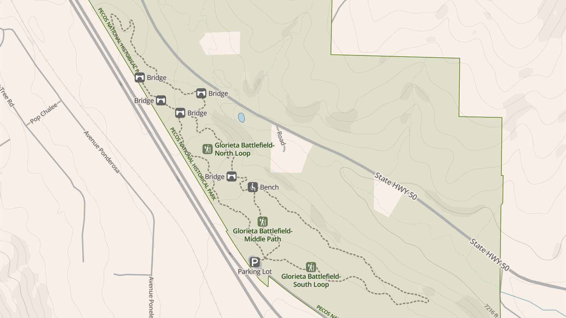
Glorieta Battlefield Trail Map, Pecos National Historical Park (click to enlarge)
Length: 2.4-mile loop
Time: 1.5 hours with time to read all wayside exhibits
Difficulty: ★★★☆☆
There is no printed brochure or any other type of guide to provide those hiking the Glorieta Battlefield Trail with information about the Battle of Glorieta Pass. Instead, all information about the battle is imparted through 14 wayside exhibits along the trail. The only problem when I did the hike in the fall of 2025 was that only a few of the waysides were in place, thus the hike ended up being for exercise purposes only. The National Park Service claimed these should be up by the 2026 tourist season, but as of August 2026, they have not been installed. Hopefully they are in place by the time you hike the trail.
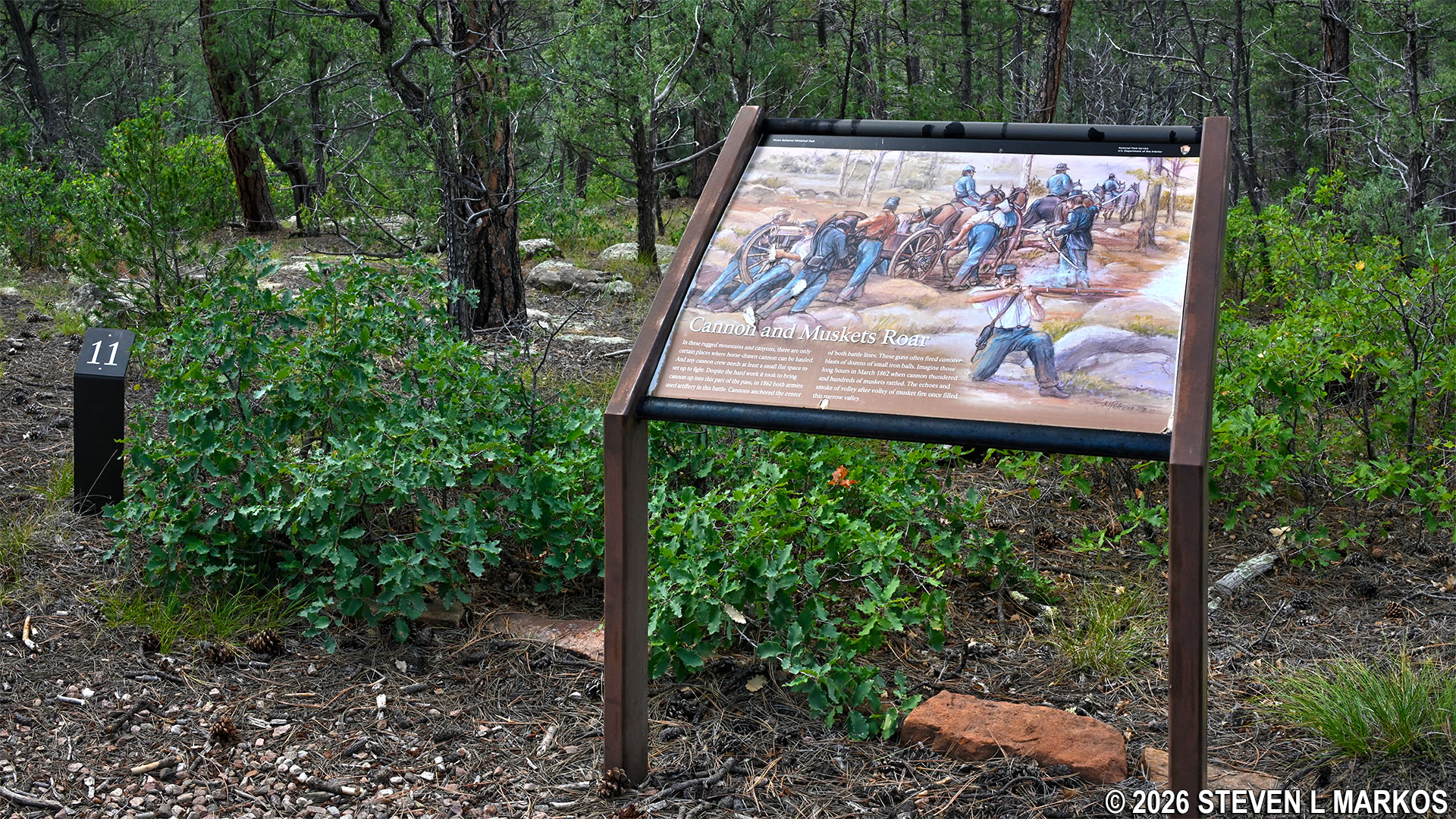
Wayside exhibit on the Glorieta Battlefield Trail in Pecos National Historical Park
The Glorieta Pass Battlefield Trail itself is a long, narrow oval that runs northwest to southeast. Total distance around the loop is 2.4 miles. It passes through a pine forest, so there are no scenic views at any point. Benches have been placed in some spots that may once have had views, but trees and other vegetation have grown up and now block the views. The trees are not that tall, so much of the trail is still out in the open. If avoiding the sun is important to you, be sure to wear a hat and apply sunscreen.
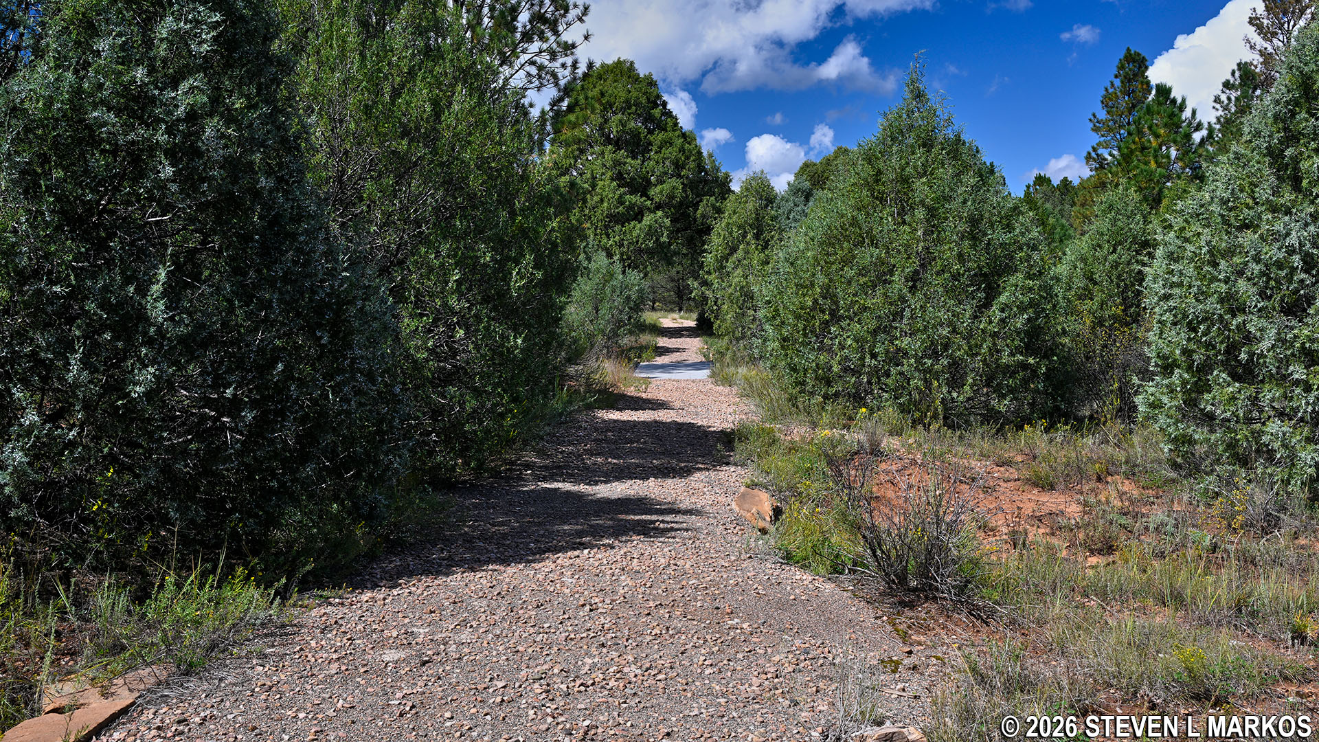
Open terrain on the Glorieta Battlefield Trail in Pecos National Historical Park
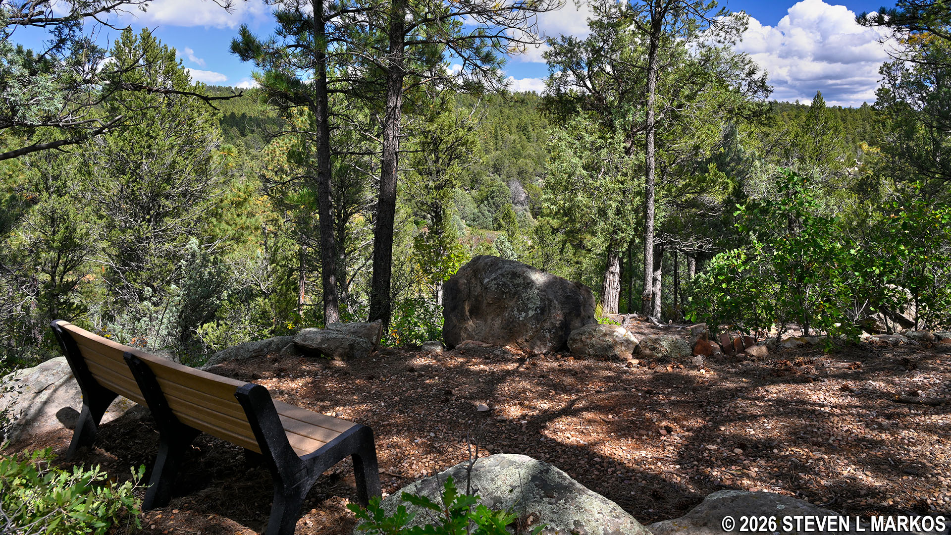
Bench on the Glorieta Battlefield Trail in Pecos National Historical Park
From the parking lot, take the very short connector to the main trail. When you get there, you can take a left, a right, or stay straight ahead. The proper way to hike the Glorieta Battlefield Trail, if you want to come to the wayside exhibits in the intended order, is to take a left. If you couldn’t care less about the battle and just want exercise, taking a right is a perfectly fine decision as well.
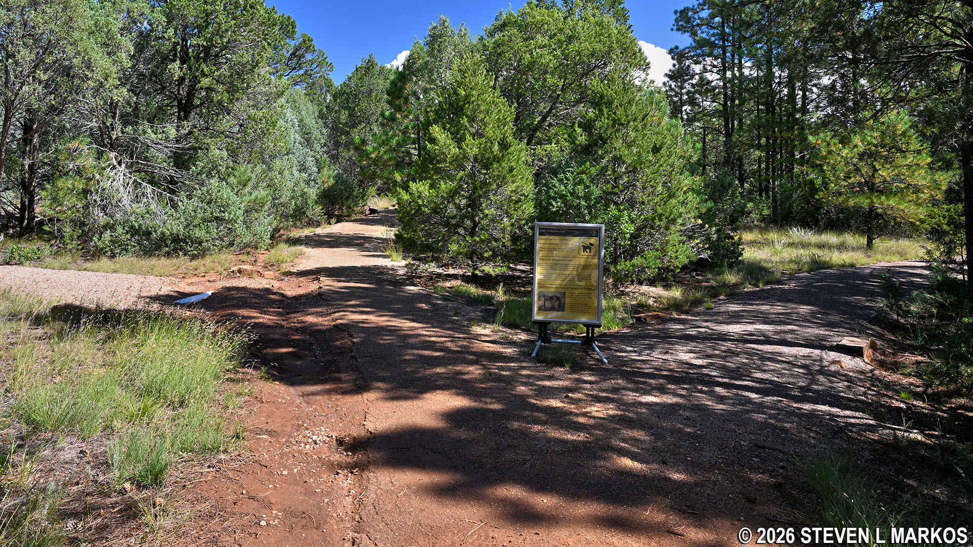
Intersection at the start of the Glorieta Battlefield Trail in Pecos National Historical Park
Keeping straight ahead is not as obvious a choice. This path cuts over to the other side of the loop, effectively splitting it in half and giving visitors the opportunity to hike the southeastern loop (1.1 miles) or the northwestern loop (1.7 miles). The cut through is .2 miles long, paved, and heads slightly uphill when starting from the intersection at the parking lot. This is considered wheelchair accessible, but why anyone would want to drive all the way out to the battlefield just to take their wheelchair back and forth on this segment is beyond me.
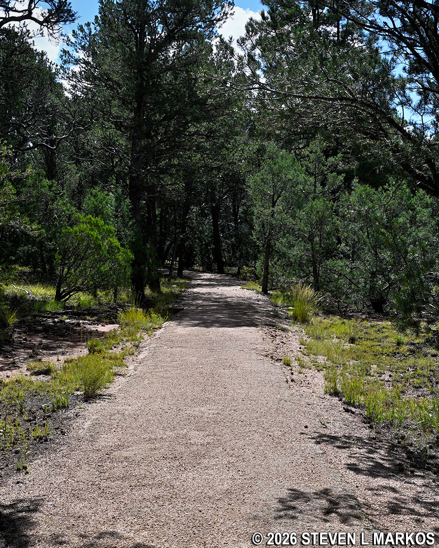
Paved trail that cuts from one side of the Glorieta Battlefield Trail loop to the other, Pecos National Historical Park
For those who want some exercise but have trouble walking on rough terrain, the southeastern loop is much easier than the northwestern loop. The south side is as flat as a pancake, and there is only one hill of note (moderate in difficulty) on the far side near the intersection with the cut-through trail.
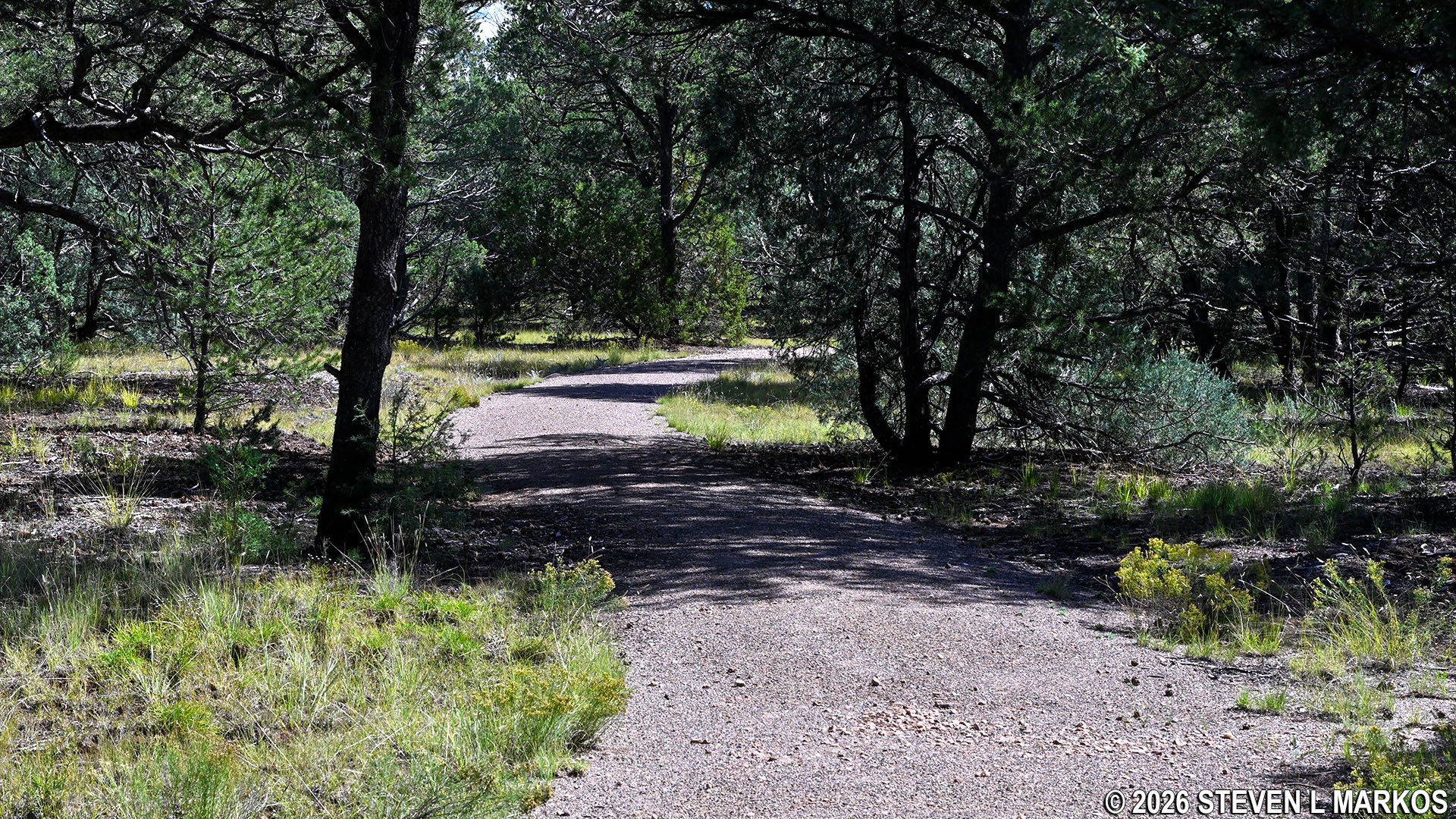
Typical terrain on the southeastern loop of the Glorieta Battlefield Trail in Pecos National Historical Park
The northwestern loop has five hills to go up and over, with most climbs being moderate in difficulty. A few are just long, gradual slogs, while the steeper sections are short and similar to climbing a staircase or two. Grades rarely exceed 10%, and if they do, it is only for a short distance. For reference, a 5% grade is wheelchair accessible, and a 15% grade is where most hikers agree strenuous hiking begins.
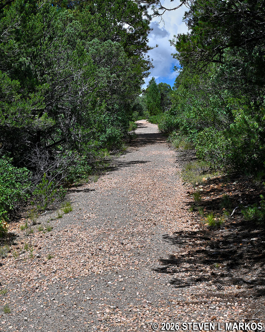
Typical terrain in the hilly northwestern section of the Glorieta Battlefield Trail in Pecos National Historical Park
As for the trail itself, it is a wide, gravel path. The southeastern section has a finer crushed-gravel surface that is suitable for strollers and even wheelchairs with off-road tires. It is similar to the Ancestral Sites Trail, if you have hiked it. Most, but not all, of the northwestern loop is more like a traditional gravel road.
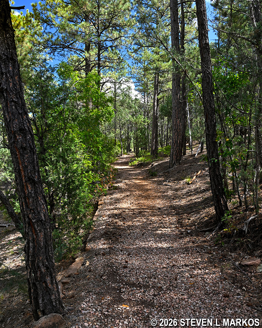
The Glorieta Battlefield Trail in Pecos National Historical Park is a wide, gravel path
There is one short segment of about 25 feet that is a narrow and slightly overgrown footpath. It is on the far side of the northwestern loop, about a mile into the hike. There is some vegetation with abrasive, woody stems, so beware if you are hiking in shorts. Why 25 feet of an otherwise 2.4-mile gravel trail is narrow like this, I don’t know. Perhaps this is where the National Park Service ran out of gravel money. Maybe they’ll fix it when they put up the wayside exhibits.
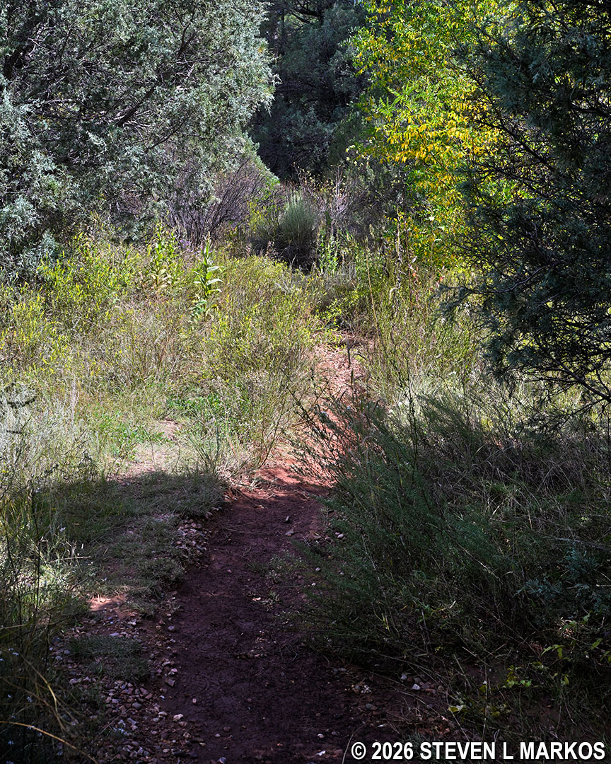
Short segment of the Glorieta Battlefield Trail that is a narrow and overgrown footpath, Pecos National Historical Park
BATTLE OF GLORIETA PASS
In the summer of 1861, Confederate Brigadier General Henry Hopkins Sibley of Texas was put in charge of a bold plan to invade New Mexico and then continue north into Colorado to seize the mineral mines, which would help finance the Confederate cause. With that accomplished, he then planned to head west to California to grab the gold being mined there and to establish a seaport on the Pacific Ocean. For this to work, Sibley had to capture Santa Fe, the last stop on the Santa Fe Trail and the gateway to farther points west. To do so, he would have to defeat the Union troops stationed at Fort Craig just north of El Paso and at Fort Union, which was also on the Santa Fe Trail about 90 miles east of Santa Fe. The trail itself went through Glorieta Pass, a gap between the Glorieta Mesa and the Sangre de Cristo Mountains. To attack Fort Union from Santa Fe, the Confederates had to control the pass.
The Confederates started their campaign for New Mexico from San Antonio, Texas. They marched along the Rio Grande to Fort Bliss in El Paso where they recruited more men (the fort had been under Confederate control since March 1861). Sibley also renamed his army the Army of New Mexico. They did not bring with them a lot of supplies because the plan was to live off the land, but as they would soon find out, there wasn’t much to live on.
From El Paso they traveled north along the Rio Grande to Mesilla, which at the time was the capital of the Confederate Territory of Arizona after a Confederate victory led by Colonel John R. Baylor in the Battle of Mesilla (July 25, 1861). Sibley recruited more men there, and Baylor and his troop joined with him as well.
By mid-February the Confederates had arrived a few miles south of Fort Craig, a Union supply depot commanded by Colonel Edward Canby (the fort is located about midway between Truth or Consequences and San Antonio, New Mexico, on the west side of the Rio Grande). Knowing the fort would be nearly impossible to capture, Sibley attempted to draw the Union troops out of the fort and engage them in battle on the open terrain. He waited for three days, with each day drawing down the rations for his men, but other than a few small skirmishes starting on February 16th, Canby did not take the bait.
On February 20, 1862, Sibley decided to circumvent the fort by sending troops across the Rio Grande to the east side and then north to another crossing, the Valverde ford, which is a little south of Socorro, New Mexico, and six miles north of Fort Craig. This would also cut off communications between Fort Craig and Union headquarters in Santa Fe.
The following morning, February 21st, four companies of Confederate soldiers marched to Valverde with orders to hold it until the rest of the army was able to cross. This move finally prompted Canby to respond, and he sent troops under the command of Lieutenant Colonel Benjamin Roberts to keep them from crossing. A battle ensued (Battle of Valverde) in which the Confederates were initially pushed back about a mile from the river, but by the end of the day they were successful in defeating Canby’s army. The Union troops retreated back to Fort Craig to protect the supplies.
Though victorious, Sibley lost a lot of men (79 killed, 150 wounded) and supplies, so he did not have the luxury of resources and time to attack and capture Fort Craig. He therefore decided to continue north along the river to Albuquerque, which he captured on March 2nd without a fight. Canby’s messengers were able to warn the Union troops in Albuquerque that a sizeable Confederate force was on its way, and they decided to abandon the supply depot and flee to Fort Union. They did burn all supplies that they could not take with them.
Sibley arrived six days later and set up his headquarters. He tried to recruit more men, but the townspeople wanted nothing to do with him. Furthermore, there wasn’t much food to be found in the area, and his supplies were starting to run low.
A few days later, on March 10th, a small unit of Confederates rode into Santa Fe without opposition. The entire town was nearly deserted. The governor, many of the residents, and the few Union troops that had been stationed there all took off for Fort Union. Sibley’s next move was to take control of Glorieta Pass so that he could attack the fort and end any Union threat to his plans.
Union commanders had anticipated Sibley’s moves, and they began sending troops from Colorado to Fort Union. The 1st Colorado Infantry Regiment under the command of Colonel John P. Slough and two companies of the 2nd Colorado Infantry marched from Denver to Fort Union, arriving on March 10th, the same day the Confederates occupied Santa Fe. On March 22nd, Slough and roughly 1,400 men began their journey west on the Santa Fe Trail to confront Sibley head on.
Stationed in Santa Fe, Confederate Major Charles L. Pyron learned of the Union’s advance towards his position. On March 25, he and 400 men set off down the Santa Fe Trail towards Glorieta Pass. That evening they set up camp at Johnson’s Ranch in Cañocito near the mouth of Apache Canyon, which was located at the western entrance of Glorieta Pass. He stationed 50 men at the summit of the pass.
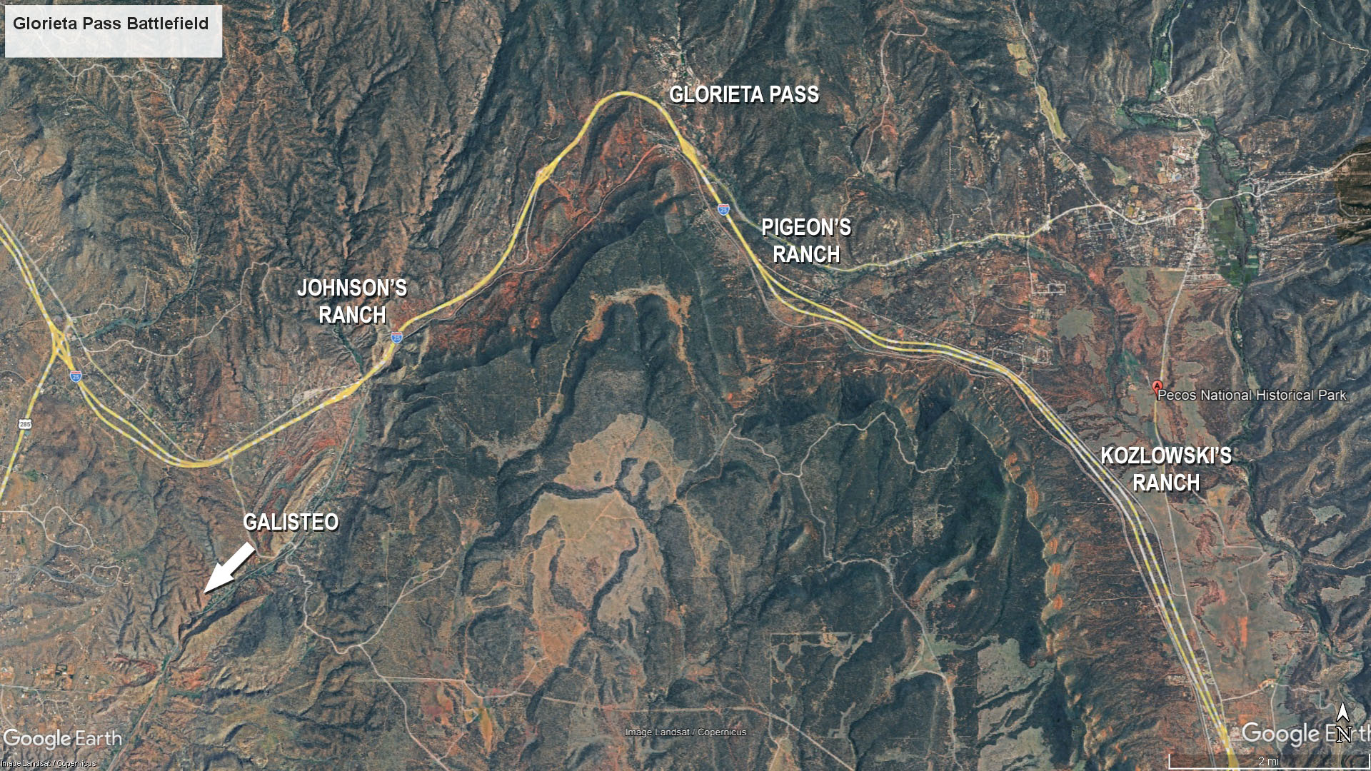
Key positions in the Battle of Glorieta Pass
In the meantime, Slough had set up camp near Las Vegas (New Mexico) on the night of the 23rd. The next morning he sent Major John M. Chivington and roughly 420 men ahead with orders to drive the Confederates out of Santa Fe. However, by the time they got to Martin Kozlowski’s ranch and trading post on the 25th, which is about ten miles along the Santa Fe Trail from Johnson’s Ranch, they learned that Pyron was already at Glorieta Pass. Chivington sent 20 scouts to determine the enemy’s strength and position. They managed to capture four Confederates, and when they returned to Kozlowski’s Ranch (which they called Camp Lewis) the next morning, the prisoners gave up Pyron’s position during interrogation. Chivington now knew where they were.
On March 26th, Chivington’s men departed for Johnson’s Ranch and attacked Pyron’s men near Apache Canyon that afternoon. The Confederates, caught by surprise, retreated about a mile and a half to a narrow section of the pass and set up their defenses. Chivington attacked again, driving the Confederates back once more. However, as he advanced further, he worried that a larger force of Confederates was waiting. By late afternoon he decided to return to Camp Lewis and wait for the rest of Slough’s men to arrive.
During the Battle of Apache Canyon, 70 Confederates were captured, 20 or so were dead, and double that amount were wounded. Those who survived retreated back to Johnson’s Ranch. The Union suffered 5 men killed and 14 wounded. Many of these men, along with the Confederate prisoners, spent the night at Pigeon’s Ranch, which was near the eastern entrance to Glorieta Pass and a few miles northwest of Camp Lewis. (Note that casualty numbers are estimates).
That night, word of the Confederate defeat at Apache Canyon reached Colonel William Read Scurry, who was camped 15 miles away in Galisteo (southwest of Glorieta Pass). He assembled his men and marched throughout the night, arriving at Johnson’s Ranch around 3 AM on the morning on the 27th. By 8 AM, the men had set up defensive lines around the ranch and within the canyon. They were expecting a Union attack, but no fighting took place that day because Chivington was also waiting for Slough to arrive.
Around 8:30 AM on the morning of March 28th, Union troops departed from Camp Lewis. Chivington and Lieutenant Colonel Manuel Chavez took 400 men towards Glorieta Mesa with the intention of marching up and over it so that they could circle around the Confederates and attack them from the rear at Johnson’s Ranch. After all, Slough expected the Confederates to be on the defensive and waiting for them to attack. Slough took the remaining 900 men and marched along the Santa Fe Trail directly to Glorieta Pass to hit the Confederates from the front.
Instead of remaining at their defensive positions at Johnson’s Ranch, Scurry, who had taken command of the Confederate troops, began a march down the Santa Fe Trail around 6 AM towards Camp Lewis under the assumption that the Union troops were heading back to Fort Union. He had approximately 1,100 men and three artillery pieces. Only a handful of men and one cannon were left behind at Johnson’s Ranch to guard the supply wagons. He had no idea that Chivington had gone over Glorieta Mesa and was coming up behind him.
Slough arrived at Pigeon’s Ranch later that morning. Around 11 AM, Confederate scouts spotted them and were able to warn Scurry, who by that time was only about a quarter mile away. At that same time, the Union cavalry, which had just departed, spotted the Confederates, so the men returned to inform Slough. Before the Union troops could get into position, the Confederates opened fire. The Battle of Glorieta Pass had begun.
Fighting at Pigeon’s Ranch was at first chaotic. There were almost no battlelines, and men where all intermingled and shooting at each other at point blank range. The Confederates had superior numbers, and they were soon able to outflank the Union, forcing them to retreat back to the ranch buildings for cover. Union troops were eventually able to form a line, with four companies and a battery of artillery (which at this time amounted to two cannon) on a hill to the left of the Santa Fe Trail, two companies and artillery (two more cannon) centered on the trail, and two other companies with a couple of Howitzers took up position on a ridge to the right.
Scurry launched an attack on all three segments of the Union line. The initial attack on the Union left flank was unsuccessful, while the attack in the center was going nowhere. On the right, one of the three Confederate cannons was destroyed. However, by 3 PM the Confederates were able to outflank the Union right, and with the center attack continuing, Slough had to retreat. His troops ended up about a half mile east of the Kozlowski ranch. Fighting continued until night began to fall, at which time the Union troops retreated back to Camp Lewis in defeat.
While the Confederates were victorious at Pigeon’s Ranch, back at Johnson’s Farm, things were far from ideal. Chivington and Chaves where positioned on the mesa when the battle started. If they were to follow orders, they should have headed in the direction of cannon fire and attacked the Confederates from the rear as directed. But scouts had located the supply wagons near Johnson’s Ranch and reported that they were lightly guarded. The officers supposedly sat atop the mesa contemplating what to do for nearly two hours. In the end, they decided that they could easily overrun the Confederate supply wagons, which they did, and then they could burn everything, which they did. They also destroyed the lone canyon and scattered 500 horses and mules the Confederates relied on.
The destruction of the Confederate supplies effectively ended Sibley’s goal of capturing Fort Union, the gold mines of Colorado, and the gold and ocean ports in California. With no supplies, Scurry had to retreat to Santa Fe, and from there the entire Confederate Army of New Mexico began a long march back to Texas, never to return to New Mexico.
With a few exceptions, use of any photograph on the National Park Planner website requires a paid Royalty Free Editorial Use License or Commercial Use License. See the Photo Usage page for details.
Last updated on August 9, 2026


