
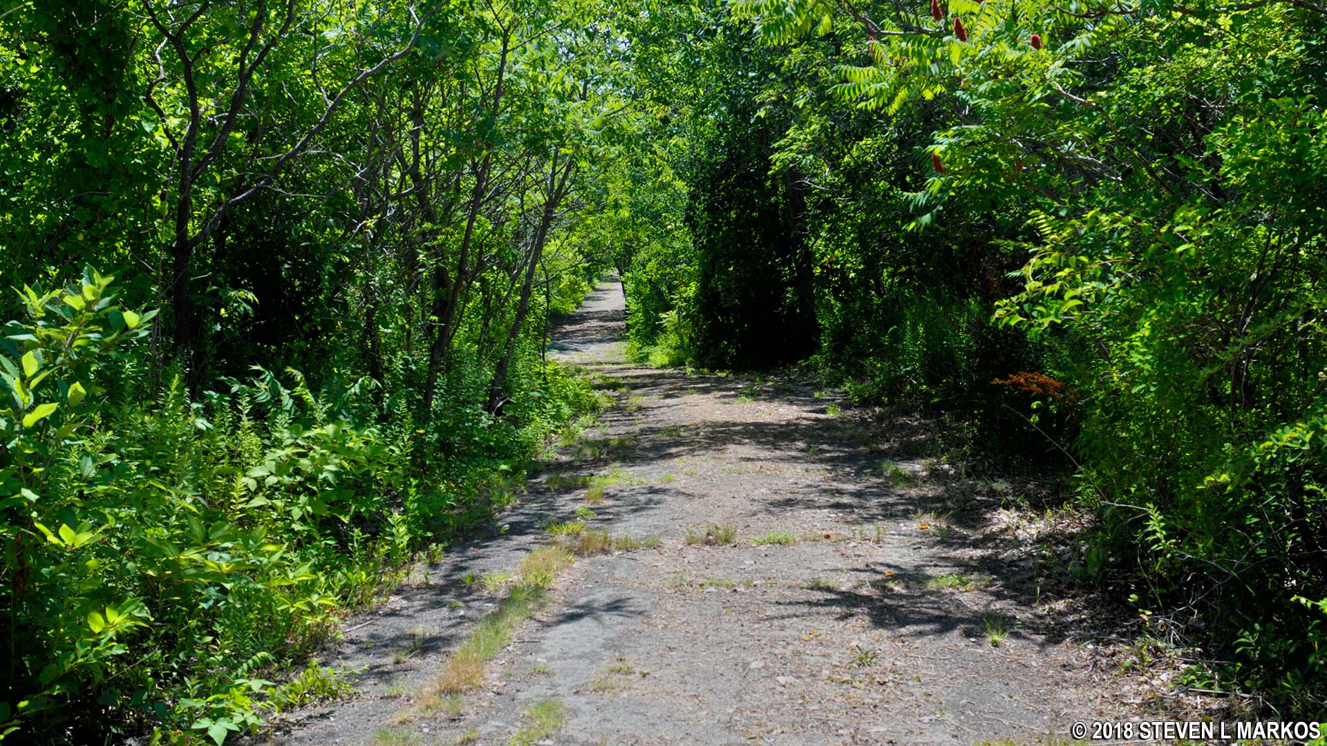
An old road runs nearly the length of Lovells Island in Boston Harbor Islands National Recreation Area

SUGGESTED ISLAND WALK
Length: 2.25 miles
Time: 2 hours
Difficulty: Mainly easy with one large hill

Lovells Island Map (click to enlarge)
There is less than a mile’s worth of trails on Lovells Island in Boston Harbor Islands National Recreation Area, most of which are old, dilapidated paved roads. You can also walk the entire shoreline—a 1.5-mile trek—but this requires climbing over the ruins of an old wharf, a task that may be difficult for older visitors. I went just about everywhere and walked three miles, taking two hours to do so.
To start the hike, take a right on the first dirt path you come to after passing the flag pole at the boat dock. This leads to a large field that used to host a group campground (camping on the island has been suspended since 2020). Here you will find two Endicott-era batteries built in the first years of the 1900s: Battery Williams and Battery Whipple, part of the former Fort Standish that was completed in 1907. Both are in good condition and open for exploration.
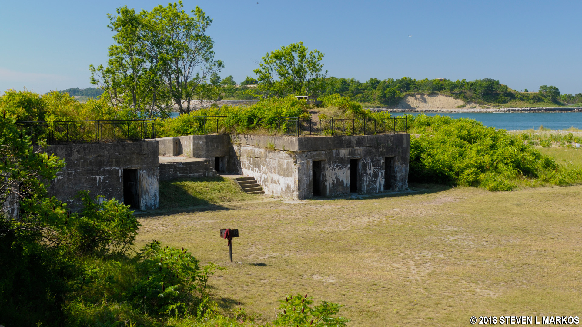
Battery Williams on Lovells Island, Boston Harbor Islands National Recreation Area
When done, take the dilapidated paved road that begins at the campground. This heads northwest and runs nearly the length of Lovells Island. On the way you will pass a Fire Control Tower (directs fire for artillery). There is a path that leads to it if you don’t mind a short detour.

Fire Control Tower on Lovells Island, Boston Harbor Islands National Recreation Area
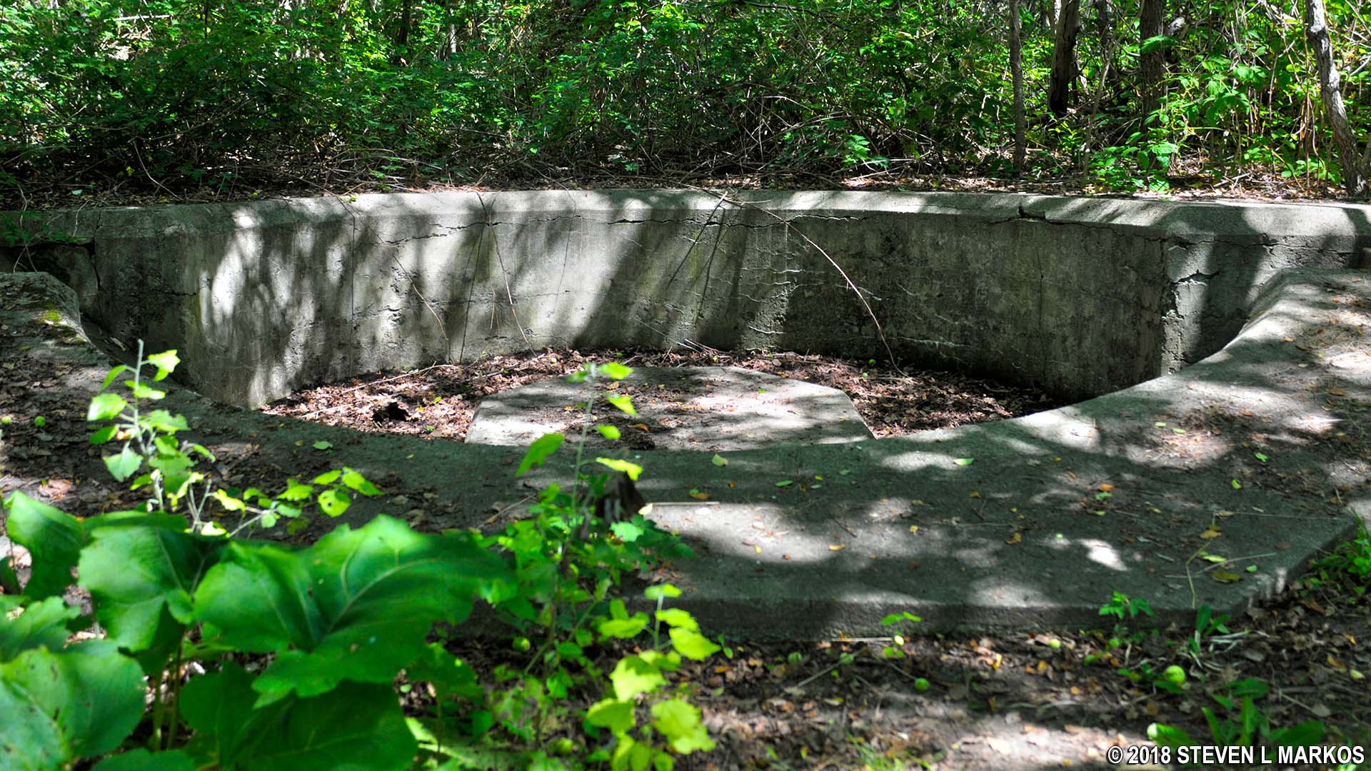
When the road forks, stay to the right and head towards the picnic area. About a tenth of a mile down is a dirt path that branches off to the right and leads to Batteries Burbeck and Morris. You can explore these as well, and if you climb the stairs to the top, you can get a nice view of the harbor.
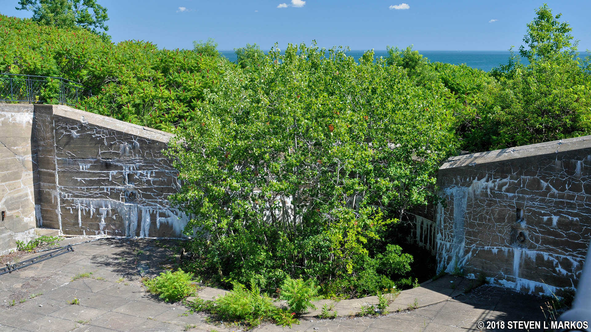
10-inch disappearing gun emplacement at Battery Burbeck on Lovells Island, Boston Harbor Islands National Recreation Area
The road dead ends into a dirt path just past the batteries. Take a left, heading uphill, and this will loop around and rejoin the original paved road, only at this point is it a wide, earthen trail. You will pass Battery Vincent and the a picnic area.
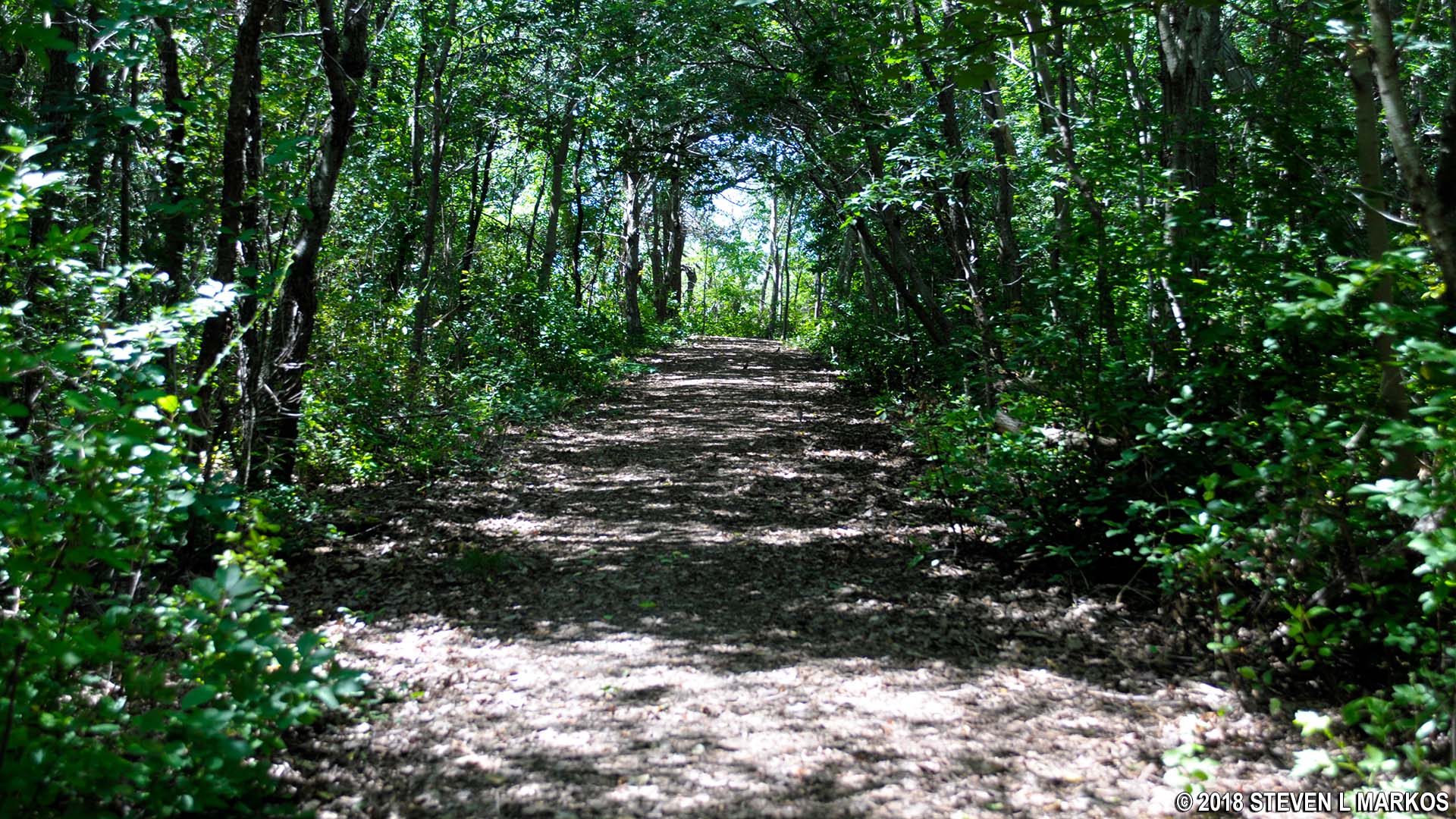
Wide earthen trail at the end of the main park road on Lovells Island, Boston Harbor Islands National Recreation Area
Gun emplacement at Battery Vincent on Lovells Island, Boston Harbor Islands National Recreation Area
Continue on the trail until you get back to the original fork in the road. This time take a left towards the Campground and follow the road until it ends at the shore. The ruins of the Lighthouse Depot Wharf are to the right, and you must climb over concrete slabs if you want to continue the hike along the shore, otherwise you must retrace your steps and head back to the boat dock.

Ruins of the Lighthouse Depot Wharf
Once over the wharf, you will pass an open area that is supposedly a salt marsh, though it looks more like a rock and sand desert covered with tall grass. You can’t miss the partial brick building in the middle. This is what remains of a lighthouse complex that stood until the military expanded Fort Standish (built around 1900) in the wake of World War II. The building was the oil house, which was used to store the oil burned in the lighthouse lanterns (there were two lighthouses).

Oil House ruins on Lovells Island, Boston Harbor Islands National Recreation Area
The next point of interest is located at the very northern tip of Lovells Island: Battery Terrill. If you can figure a way up to the top, you can see the gun emplacements and may even be able to get inside. Watch out for ticks when walking through any tall grass.

Battery Terrill (photo by nsub1)
Once you pass Battery Terrill you will be hiking south along the shore. You’ll pass the salt marsh and oil house again, but this time from the other side. Lovells Island is very narrow at this point—narrow enough to hit a golf ball across, even if you suck at golf. You could cut back into the forest on a trail just past the marsh, but this leads back to the main road, and you’ve already seen everything there. Instead, just follow the shoreline all the way back. You can cut across the island when you reach the Fire Control Station or just walk back to the ferry dock along the shore.
With a few exceptions, use of any photograph on the National Park Planner website requires a paid Royalty Free Editorial Use License or Commercial Use License. See the Photo Usage page for details.
Last updated on January 15, 2024


