

Coolidge Meadow Hike map (click to enlarge)
Cathleen Stone Island Main Page
Length: 1.2-mile round trip
Time: 1 hour
Difficulty: Hilly terrain, but fairly easy
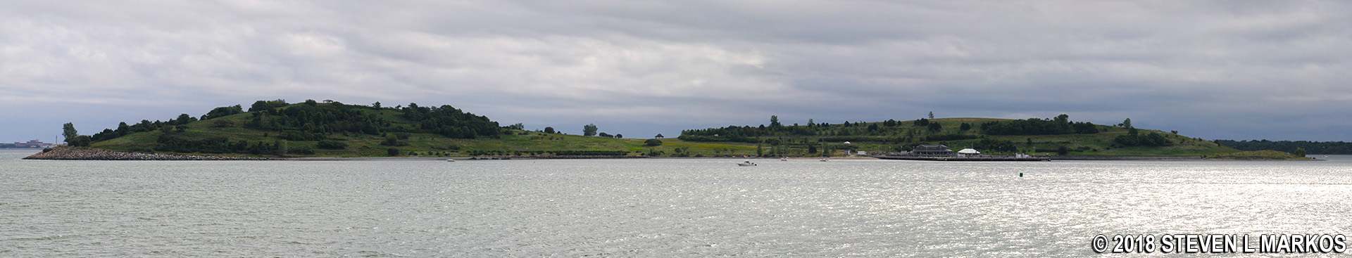
Because there is no visitor center on Boston Harbor Island National Recreation Area’s Cathleen Stone Island (formerly Thompson Island), there is no chance to pick up a printed trail map. If you have a digital camera, I suggest taking a photo of the map on the wayside exhibit located near the ferry dock and then refer to it when needed. Keep in mind that there are trails within the park that are not shown, so it is easy to get confused as to which way to go at a few of the intersections. Luckily the island is only a little over a mile long and less than a half mile at its widest point, so you can’t stay lost forever.

Map of Thompson Island (click to enlarge)
To start the hike to Coolidge Meadow, take a left on the first gravel trail you come to when reaching the end of the ferry dock. The harbor will be on your left and the Outward Bound campus on your right, though you won’t see many of the buildings because the trail cuts through the forest.

Start of the hike to Coolidge Meadow on Cathleen Stone Island, Boston Harbor Islands National Recreation Area
Five minutes later you will emerge temporarily from the forest at a gazebo. To the right is a nice view of the Outward Bound campus.
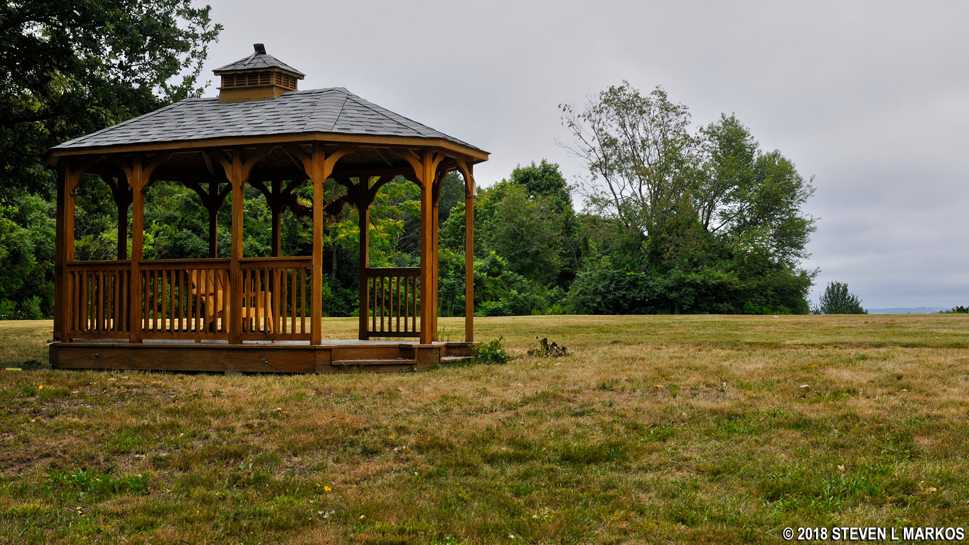
Gazebo shelter on Cathleen Stone Island, Boston Harbor Islands National Recreation Area

Outward Bound campus on Cathleen Stone Island in Boston Harbor
Just beyond the gazebo the trail starts to get a little grassy and eventually forks. There is no sign indicating which way to go, but I knew the water should be on my left, so I opted to stay straight / left. I later learned that both trails merge back together just up ahead, so it really made no difference which way I went.
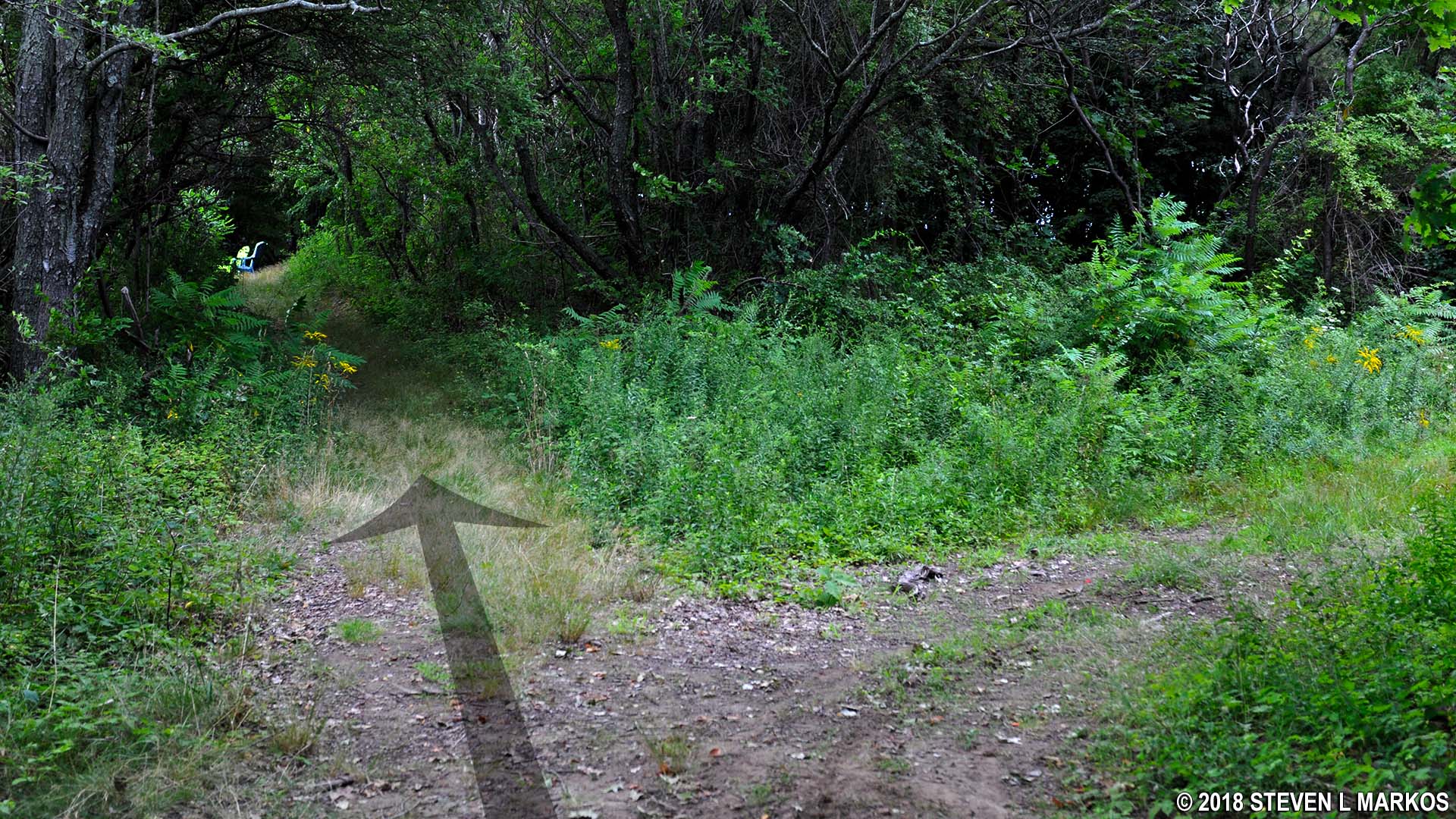
First trail intersection on the hike to Coolidge Meadow on Cathleen Stone Island, Boston Harbor Islands National Recreation Area
Just twenty yards from the intersection is a clearing with a nice view of Boston that I would have missed had I taken a right. It was overcast on my visit, so the photo below is a little gloomy.

View of Boston from Cathleen Stone Island in Boston Harbor
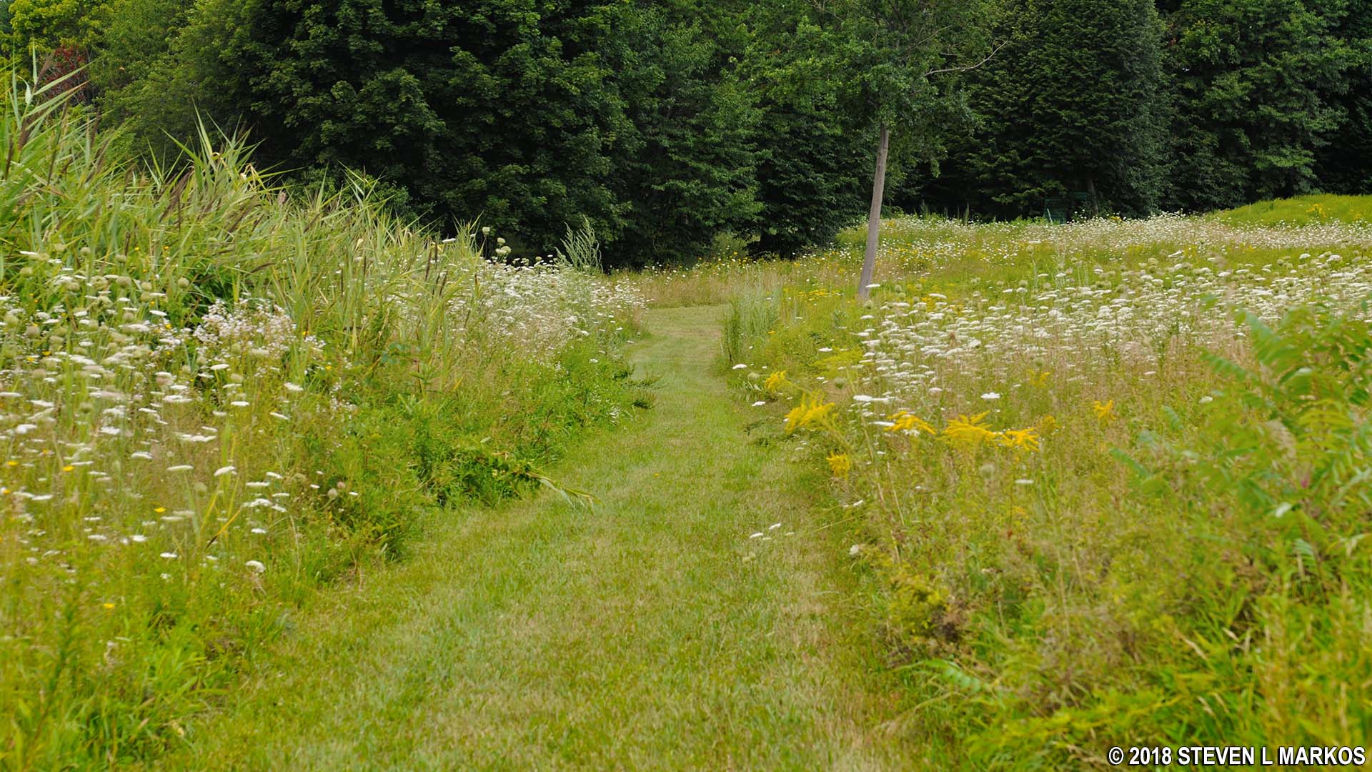
In another tenth of a mile the trail forks again. The most inviting path is to the right, for this leads out to Coolidge Meadow. Once at the meadow you will be confronted with multiple paths: the one that you arrived on and three mowed swaths through the tall grass (extend your hand, tuck in your thumb, and spread out your other four fingers to get the idea). This is the start of the loop around the meadow, and no matter if you choose to hike in a clockwise or counterclockwise direction, take one of the outer paths. The two in the middle just cut through the meadow and join a few other random mowed swaths.
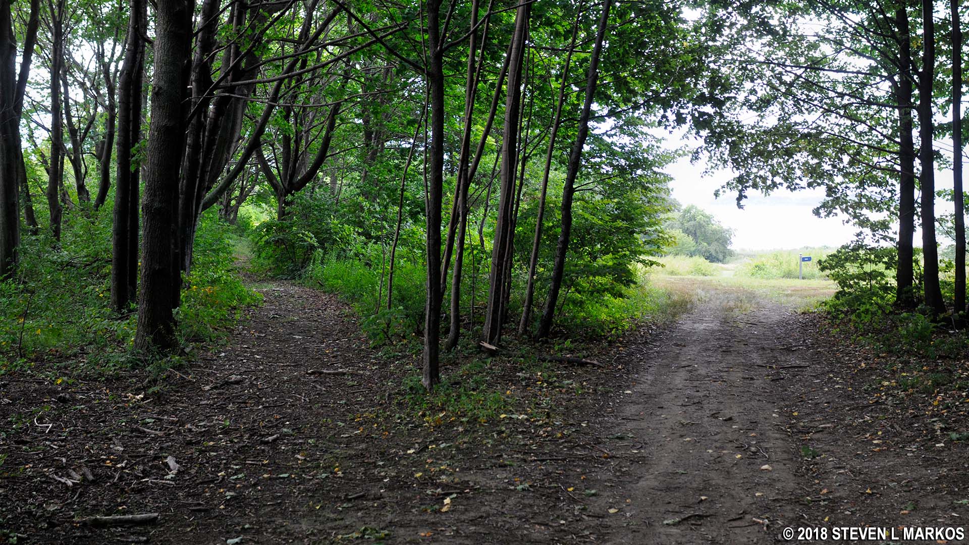
Arriving at Coolidge Meadow on Cathleen Stone Island, Boston Harbor Islands National Recreation Area
The rightmost outer path is marked with a BEACH and COOLIDGE MEADOW sign. Taking this route sets you off hiking counterclockwise around the loop. I opted to stay left per my “stay left” creed and hiked around in the clockwise direction.

Cathleen Stone Island’s Coolidge Meadow Trail loop heading in the counterclockwise direction, Boston Harbor Islands National Recreation Area
The trail now remains out in the open. There are some nice views of the meadow with Moon Island in the background.

View of Cathleen Stone Island’s Coolidge Meadow and Moon Island, Boston Harbor Islands National Recreation Area
The trail passes a small, one-room shed and soon afterwards comes to a turnoff for Perera Point. Caution tape had been placed across the path to keep people out, but when I visited it had fallen down, so what the heck? The detour leads to a nice view of Spectacle Island.
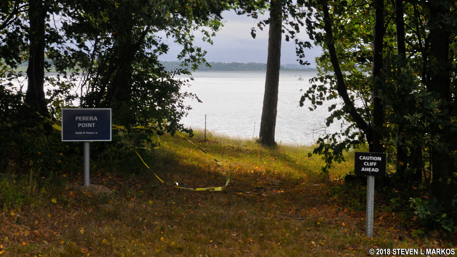
Perera Point at the north end of Cathleen Stone Island, Boston Harbor Islands National Recreation Area
View of Spectacle Island from Cathleen Stone Island, Boston Harbor Islands National Recreation Area (click to enlarge)
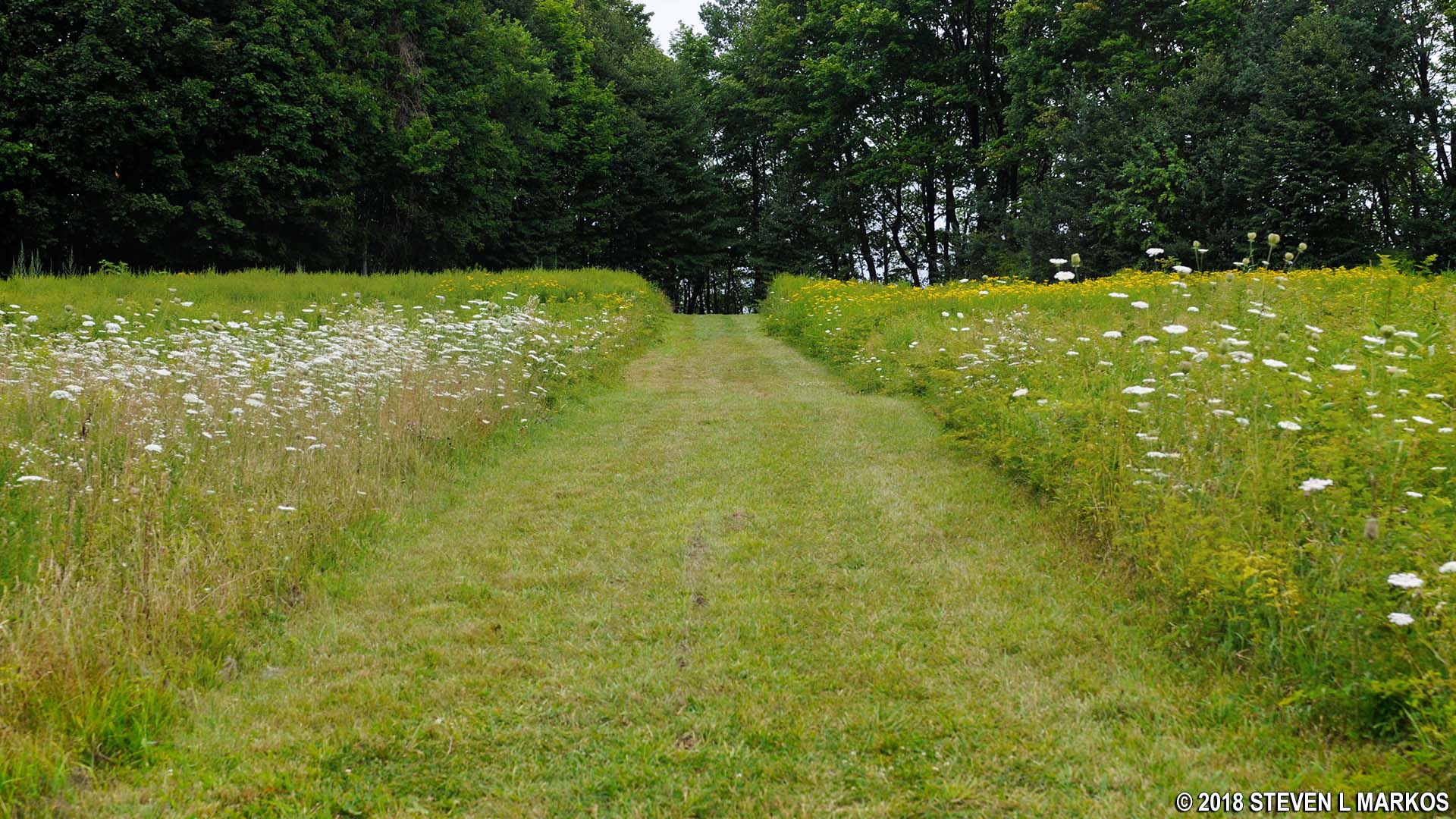
The trail soon curves back to the south along a mowed swath through Coolidge Meadow.
Hiking trail through Coolidge Meadow on Cathleen Stone Island, Boston Harbor Islands National Recreation Area
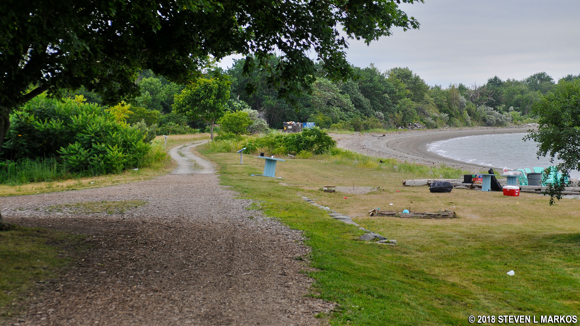
When you come to another BEACH sign, follow it if you want to see the beach. Otherwise, take a right to head back to the first BEACH sign at the start of the loop.

Turnoff for the beach near Coolidge Meadow on Cathleen Stone Island, Boston Harbor Islands National Recreation Area
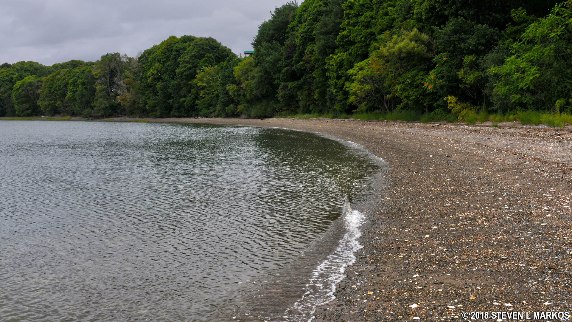
Beach on Cathleen Stone, Boston Harbor Islands National Recreation Area
The hike back to the start of the loop is up a fairly steep hill. Even though the trail ends up at the bottom near the beach, the clockwise route winds around the island’s northern point and gradually works its way to the bottom, thus the descent is not all that noticeable. However, there is no mistaking the climb back to the top.
Hike back to the start of the loop around Cathleen Stone Island’s Coolidge Meadow, Boston Harbor Islands National Recreation Area
Once at the top, just retrace your steps back to the dock.
Road back from Coolidge Meadow to the Cathleen Stone Island ferry dock, Boston Harbor Islands National Recreation Area
With a few exceptions, use of any photograph on the National Park Planner website requires a paid Royalty Free Editorial Use License or Commercial Use License. See the Photo Usage page for details.
Last updated on May 7, 2025


