
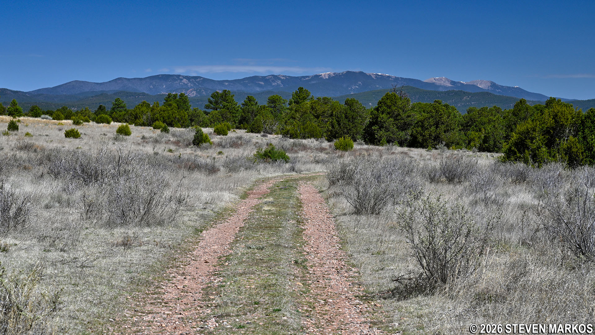
View of the Sangre de Cristo Mountains from the South Pasture Loop Trail, Pecos National Historical Park
Length: 3.8 miles
Time: 1.5 to 2 hours
Difficulty: ★★☆☆☆
The South Pasture Loop Trail at Pecos National Historical Park is a 3.8-mile loop that takes hikers through one of the pastures of the Forked Lightning Ranch. It is an old gravel road and remains fairly flat throughout, except for one semi-steep, rocky section. There are spectacular views of the Glorieta Mesa and the Sangre de Cristo Mountains along the way.
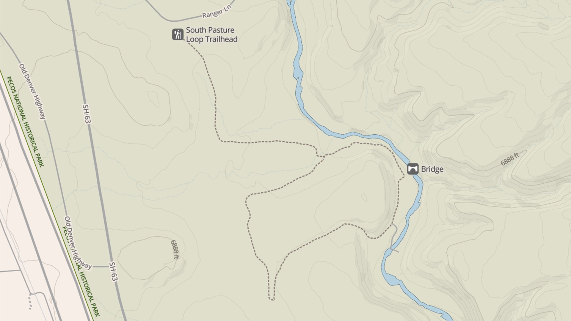
South Pasture Loop Trail Map, Pecos National Historical Park (click to enlarge)
To access the trailhead, first drive to the Trading Post, which is about a half mile south of the Pecos National Historical Park Visitor Center on Highway 63. Once at the Trading Post, take the gravel road—officially named Ranger Lane—that runs along the right side of the building and passes through an elaborate adobe gate. This should be open by 9 AM, but times can vary per season. If you plan to start first thing in the morning, call the park the day before at (505) 757-7241 to see when the gate will be opened. Last entry onto the trail is at 1 PM because all hikers must be off the property by 3 PM. Also, no bikes or pets are allowed on the trail.
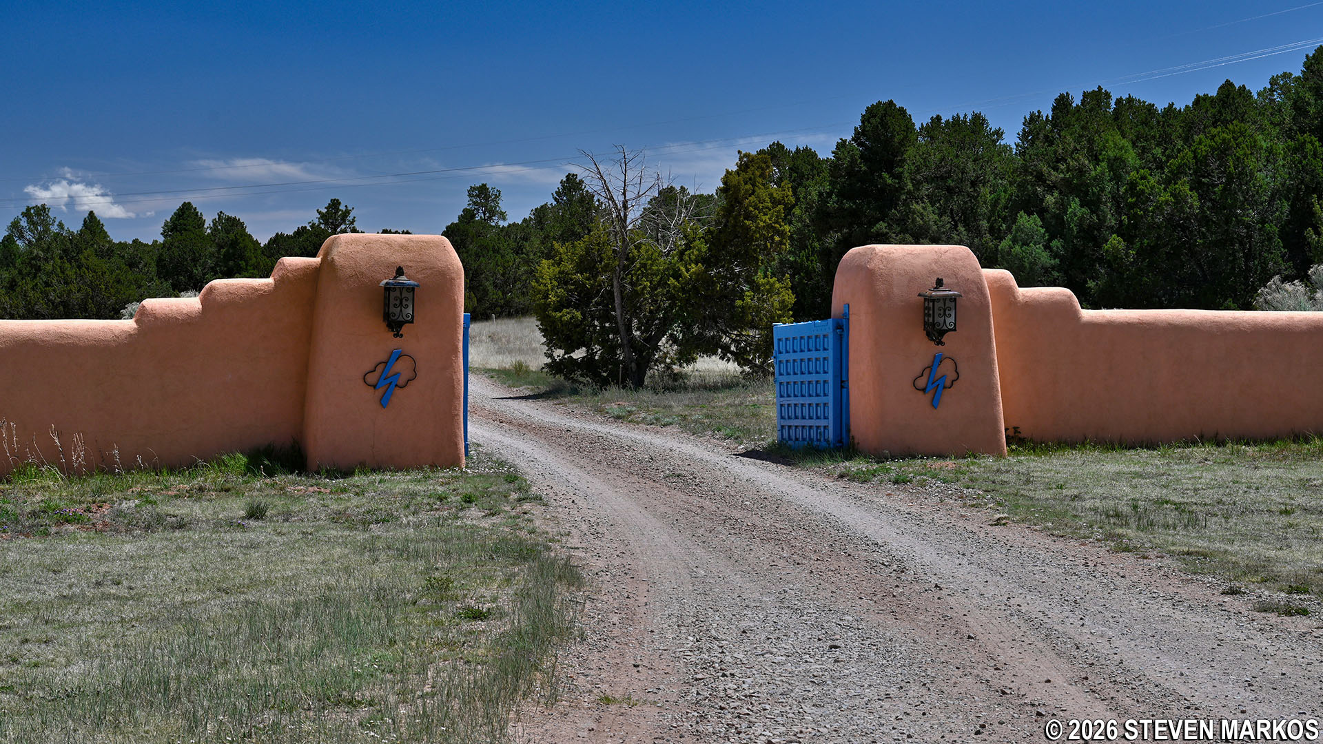
Gate for Ranger Lane at the Trading Post, Pecos National Historical Park
Drive .75 miles down Ranger Lane until you come to a sign that reads TRAILHEAD. There is a parking lot. The trail starts at a blue gate that blocks vehicles from proceeding farther.
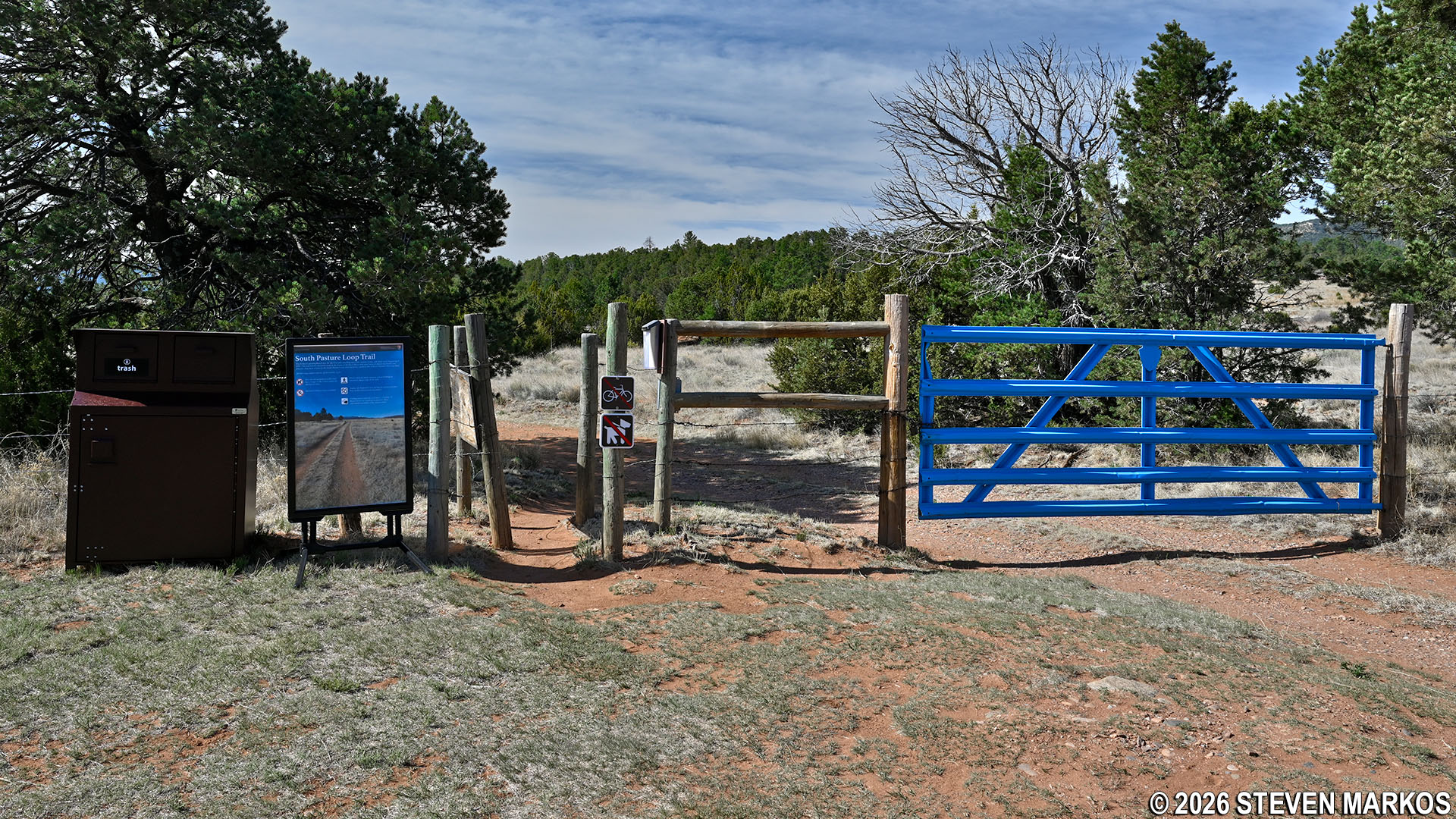
South Pasture Loop Trailhead at Pecos National Historical Park
There is hardly any shade on the South Pasture Loop Trail, so if avoiding the sun is important to you, be sure to wear a hat and apply sunscreen.
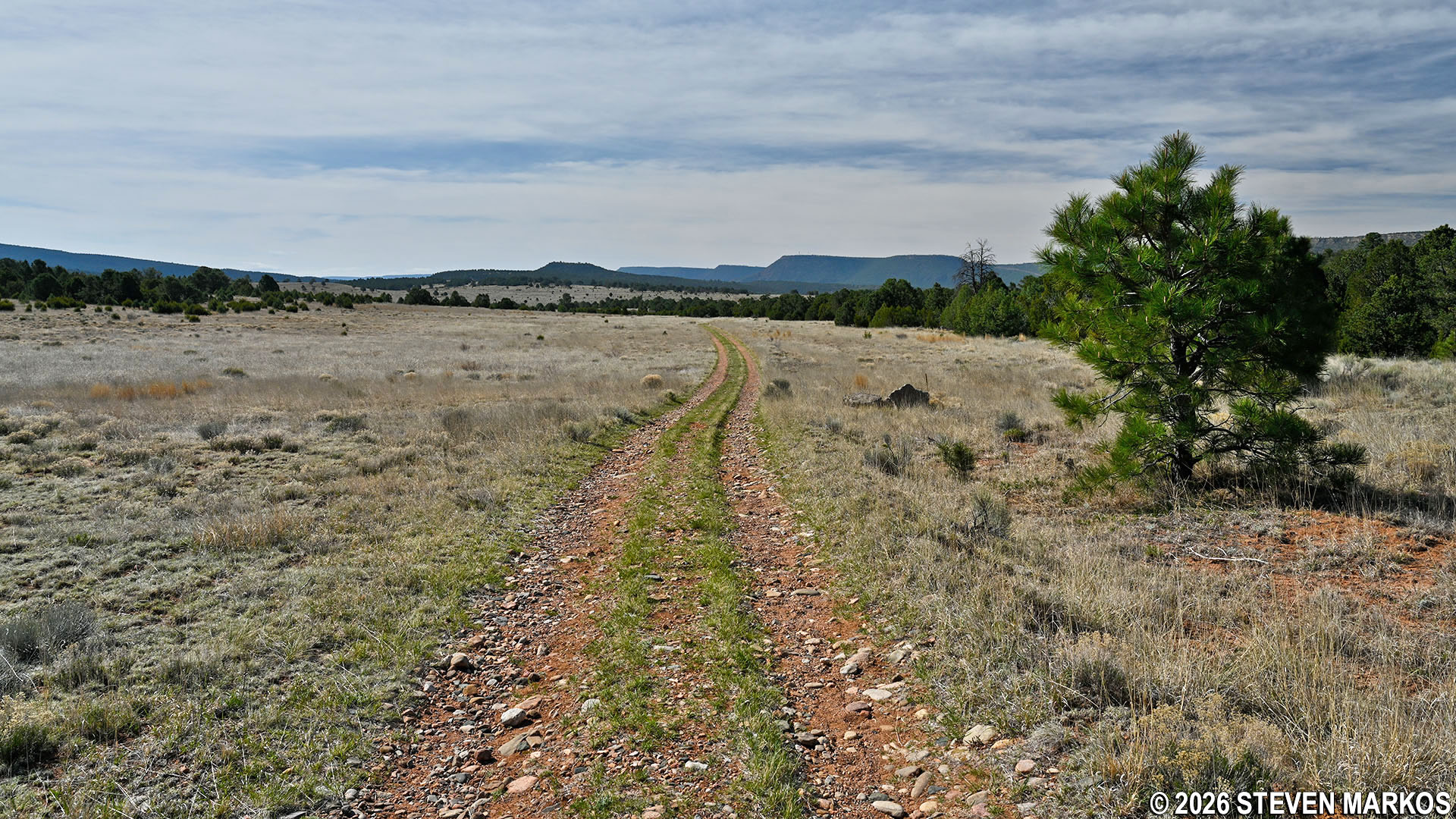
Typical terrain on the South Pasture Loop Trail at Pecos National Historical Park
The South Pasture Loop Trail is lollypop-shaped, meaning you hike out on the stick portion before coming to the actual loop. It starts off heading south, then turns east after a half-mile. At this point, the Sangre de Cristo Mountains are directly in front of you. These mountains are the southernmost range of the Rockies, which end at Glorieta Pass. Being an old ranch road, there are sections of the trail where vehicles created deep ruts, so sometimes I found it easier to walk down the middle of the path.
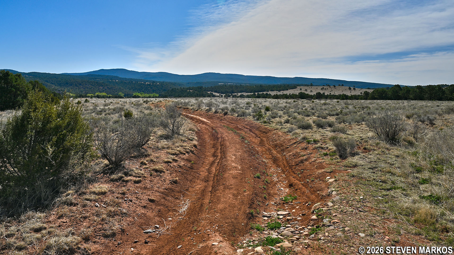
Deep ruts in the path of the South Pasture Loop Trail at Pecos National Historical Park
The loop portion of the trail begins .9 miles from the parking lot (the trail maps states the distance is .8, but my two GPSs read .9). A directional sign with a map of the trail is posted at the intersection. Note that one direction is for FISHING ACCESS. That’s just the quickest way around the loop if you want to get to the Pecos River to fish. You do need a permit. If interested, check out the National Park Service’s Fishing web page for Pecos National Historical Park. I decided to make a right and take the loop in the counterclockwise direction, and this report is written from that perspective.
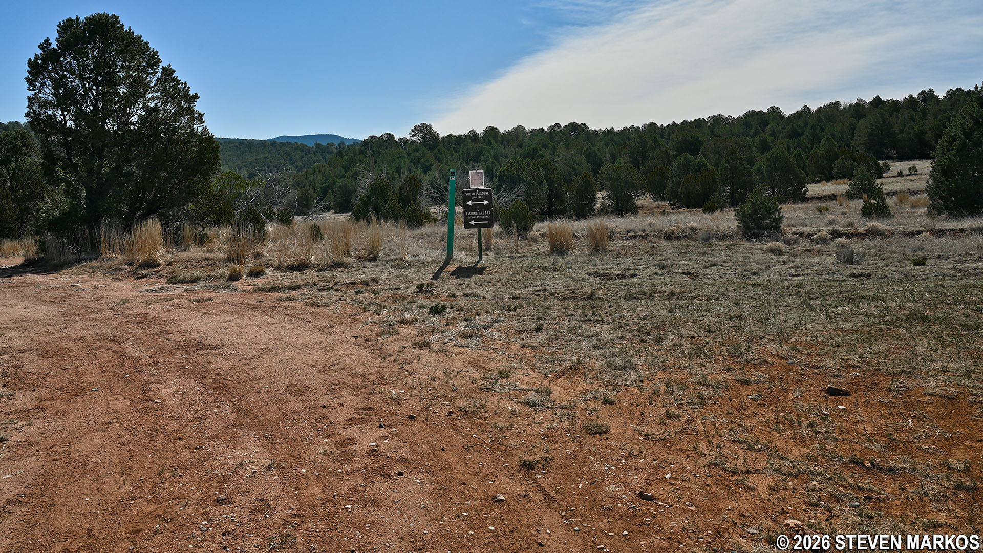
Start of the loop portion of the South Pasture Loop Trail, Pecos National Historical Park
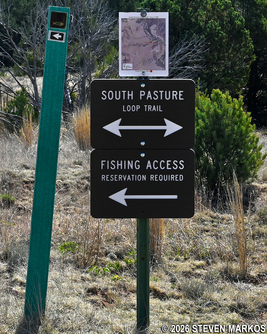
Directional sign with a map at the start of the loop portion of the South Pasture Loop Trail, Pecos National Historical Park
The trail continues through the pasture, providing fantastic views of Glorieta Mesa. Created by an uplift about ten million years ago, the mesa’s visible layers of sedimentary rock date back almost 300 million years. The beautiful colors of Glorieta Mesa were supposedly Greer Garson’s inspiration for the exterior paint color of the Forked Lightning Ranch.
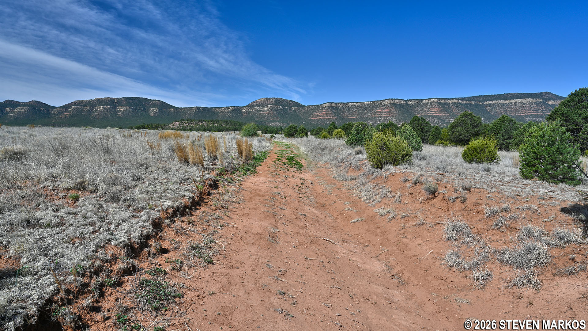
View of Glorieta Mesa from the South Pasture Loop Trail at Pecos National Historical Park
Three quarters of a mile from the start of the loop (1.7 miles on the overall hike), the trail comes to some of the original Forked Lightning Ranch fencing and makes a sharp turn to the left (almost a U turn). The path continues between two fence lines. Prior to this, I felt as if I were just hiking through an open field, but at this point I definitely felt like I was hiking through a pasture.
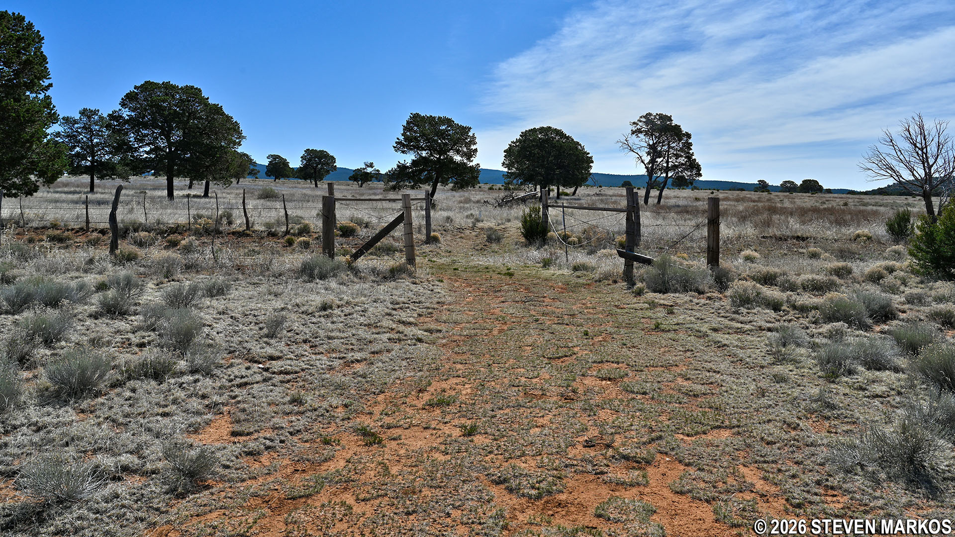
Fence at the southwestern corner of the South Pasture Loop Trail, Pecos National Historical Park
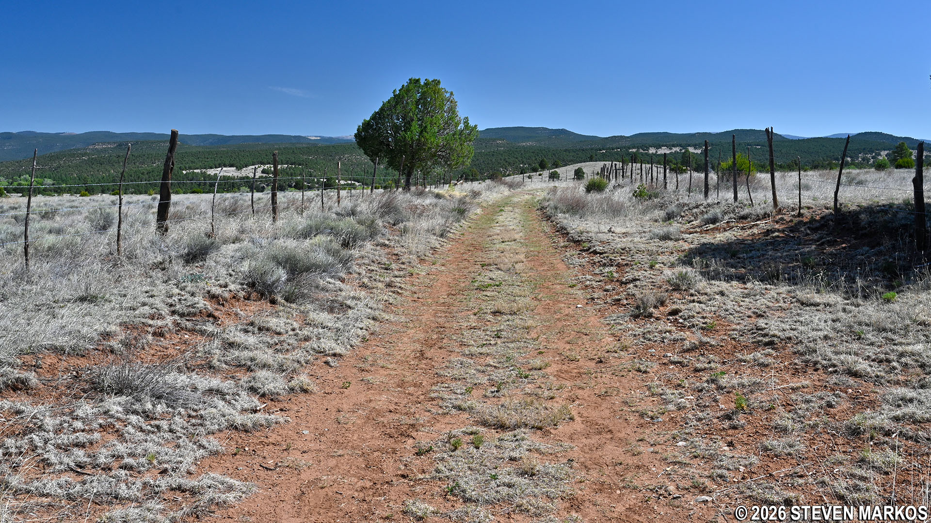
Path between the fences on the South Pasture Loop Trail, Pecos National Historical Park
At the 2-mile mark, the trail departs from the pasture and begins a quarter-mile descent down to the Pecos River. While not terribly steep, the gravel road does become a little washed-out and rocky, so pay close attention to your footing so that you don’t roll an ankle. If you look to the south-southeast, you can catch a glimpse of the river through the trees.
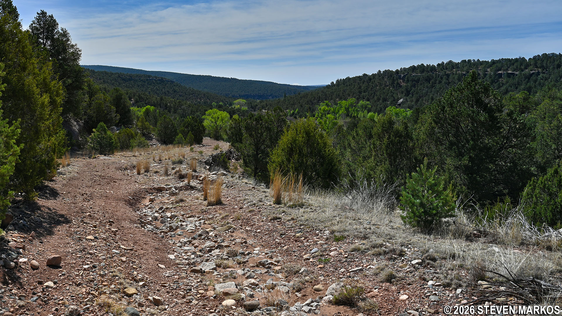
Rocky descent on the southeastern side of the South Pasture Loop Trail at Pecos National Historical Park
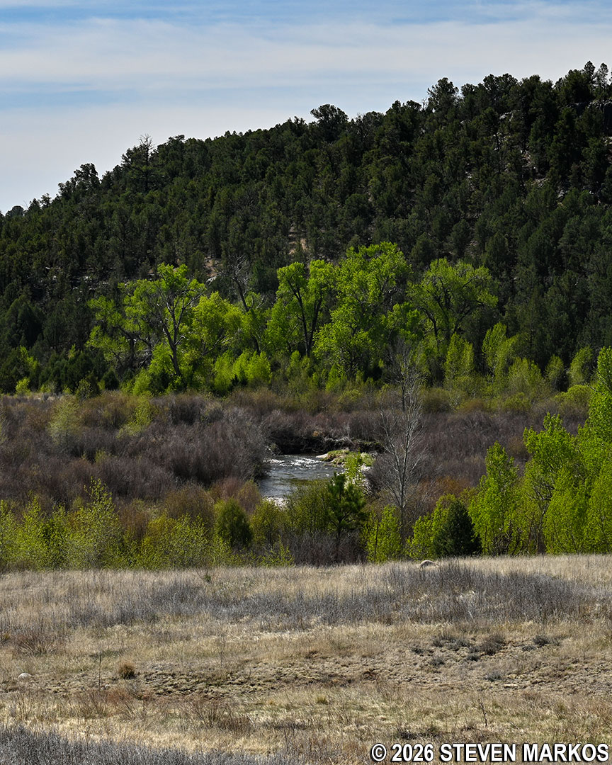
View of the Pecos River from the South Pasture Loop Trail, Pecos National Historical Park
At the bottom of the hill, the South Pasture Loop Trail begins following the Pecos River, though it is hard to see through all the vegetation. After walking about a quarter mile along what is now fairly level terrain, you will come to the remains of the Old Colonias Bridge. A short side trail that is a little overgrown leads right up to the base of the bridge. If you make the detour, there is no need to backtrack to return to the main trail, as the side path reconnects to it a little farther down.
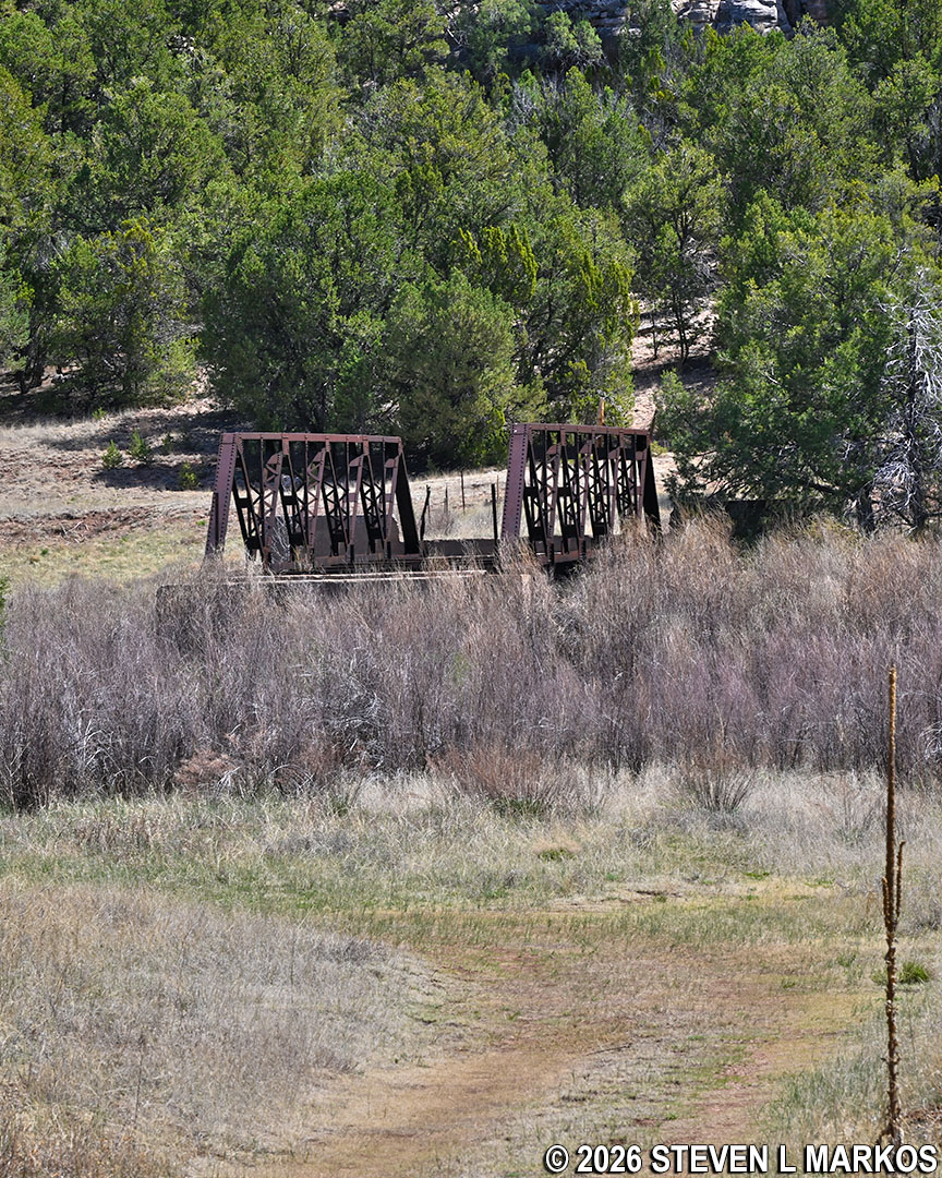
View of the Old Colonias Bridge from the South Pasture Loop Trail, Pecos National Historical Park
What stands today is a replacement of the original bridge that was constructed around 1880 by the Atchison Topeka & Santa Fe Railroad. It was built as part of the Old Colonias Road that connected the Lower Colonias community with Rowe, New Mexico. The road also provided the railroad with better access to timber for making railroad ties (the wooden support beams that lie perpendicular to the tracks). The original bridge was replaced in the 1930s with the metal one standing today. It was built by the Civilian Conservation Corps, an organization created by the Franklin D. Roosevelt Administration to get men back to work during the Great Depression.
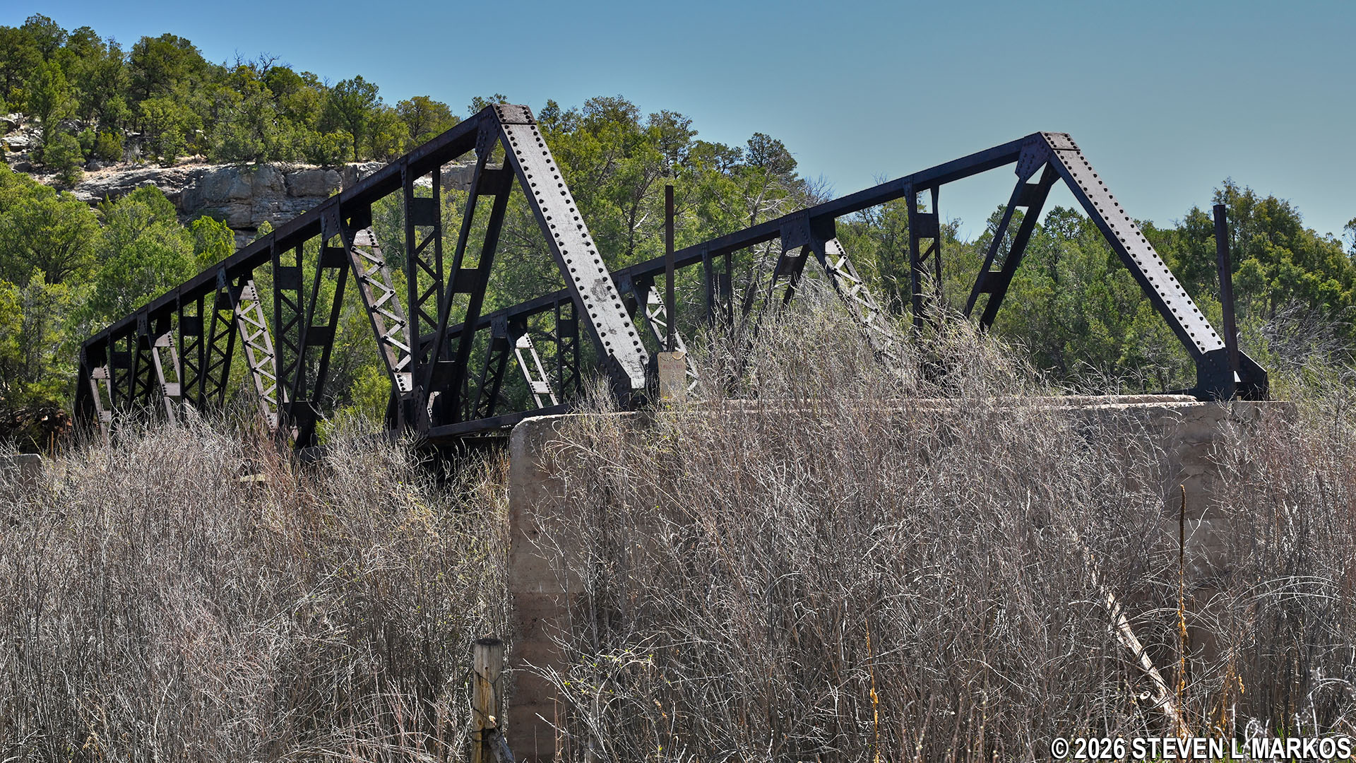
Up-close view of the Old Colonias Bridge on the South Pasture Loop Trail, Pecos National Historical Park
Once past the bridge, the trail begins to make its way through a small grove of cottonwood trees as it follows along the (mostly hidden) Pecos River. If you look carefully though, you can catch a glimpse of it every now and then through the trees.
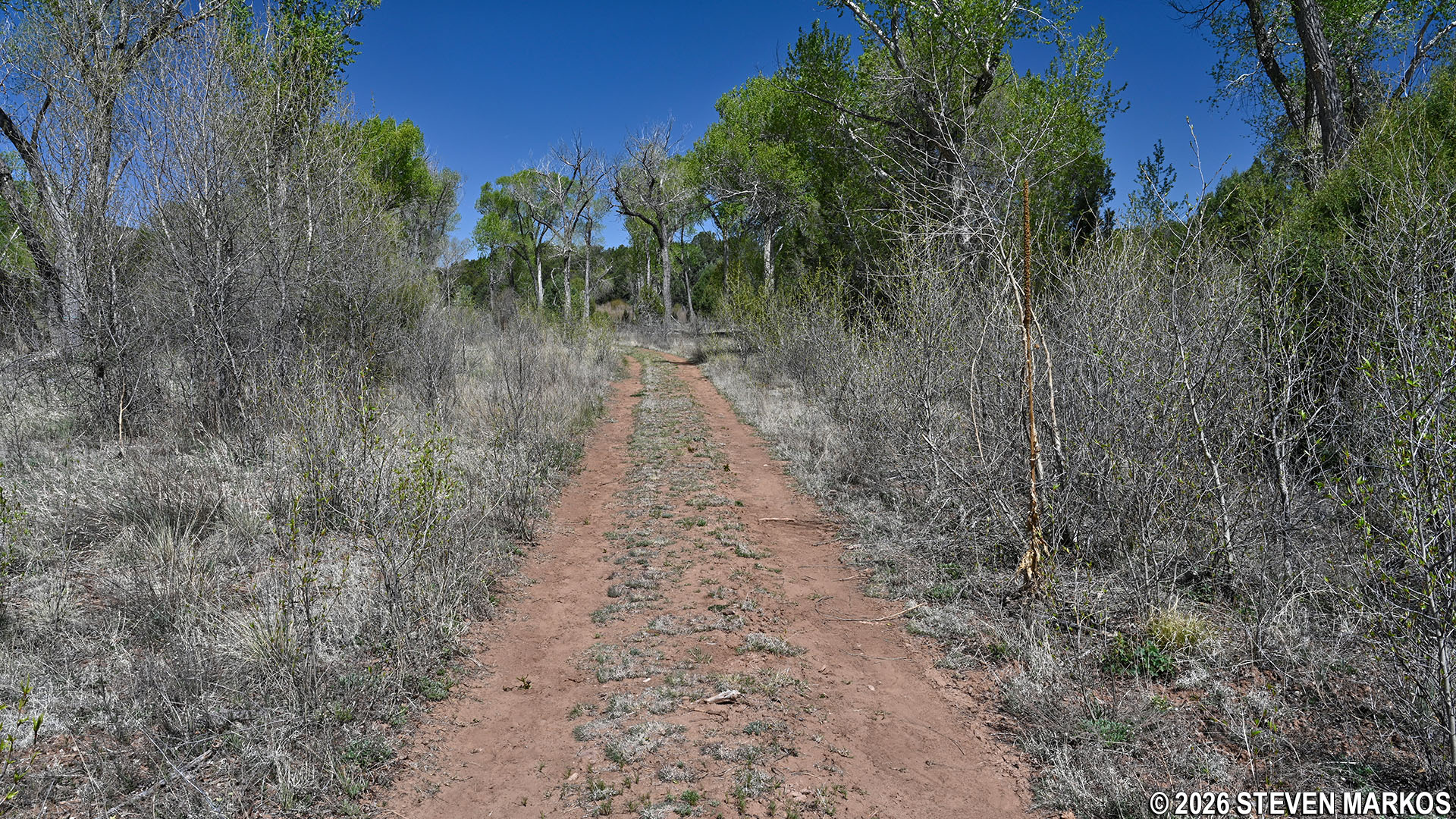
Cottonwood trees along the northeastern side of the South Pasture Loop Trail at Pecos National Historical Park
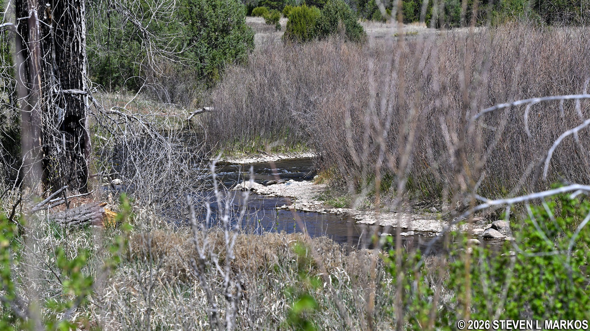
View of the Pecos River from the South Pasture Loop Trail, Pecos National Historical Park
After hiking through the cottonwoods (and taking advantage of a little bit of shade), the trail crosses back through the pasture fence. A stone’s throw later is the start of the loop. This comes .4 miles past the bridge and roughly 2.9 miles into the overall hike. From here, follow the stick portion of the trail back to the parking lot .9 miles away.
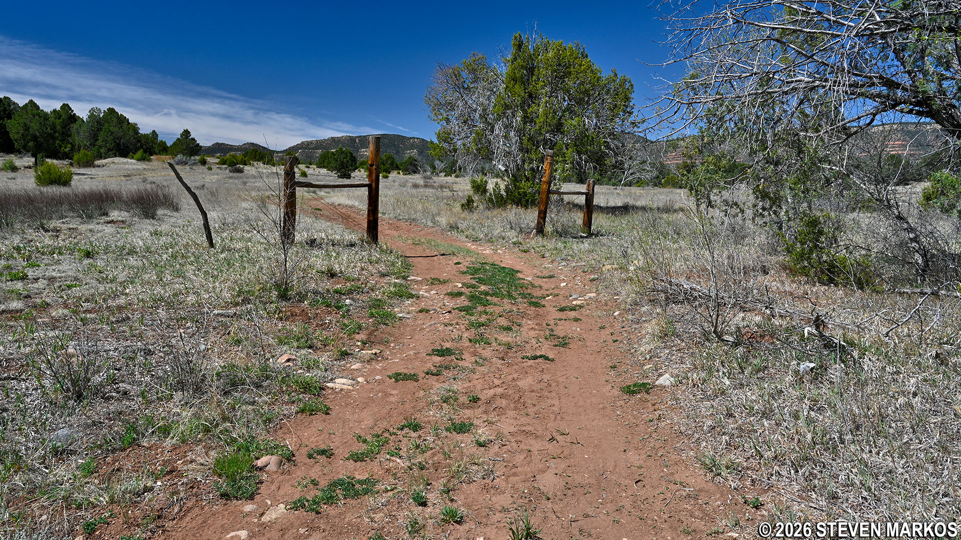
Second fence crossing on the northeastern side of South Pasture Loop Trail at Pecos National Historical Park
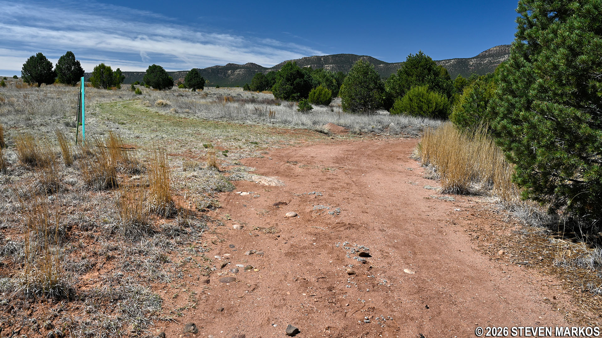
Back at the start of the loop portion of South Pasture Loop Trail, Pecos National Historical Park
With a few exceptions, use of any photograph on the National Park Planner website requires a paid Royalty Free Editorial Use License or Commercial Use License. See the Photo Usage page for details.
Last updated on August 5, 2026


