
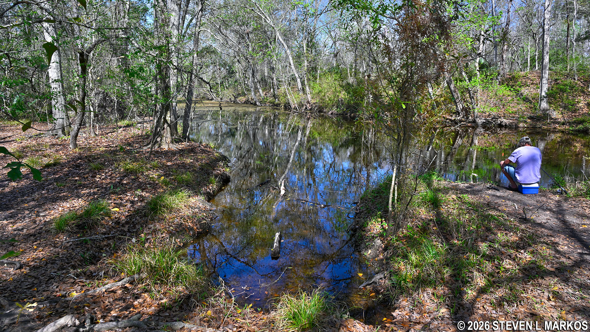
Canoe launch at the Twin Canals Trail, Jean Lafitte National Historical Park and Preserve
Forget about paddling at Jean Lafitte National Historical Park and Preserve, for while there are two canoe launches in the Barataria Preserve—one near the Visitor Center and one at the Twin Canals Trail—realistically there are no paddling opportunities at the park. If you look at the Barataria Preserve using the standard view mode in Google Maps, it will look like a canoer’s paradise with all of the blue water lines connecting to each other, but once you switch to satellite view, you’ll see nothing but green. That’s because nearly all of the canals, which have long since been abandoned, are now filled in with vegetation. The canoe launch near the Visitor Center launches into one such canal. A park Ranger told me that I’d be lucky to make it 100 feet before being bogged down in vegetation.
Launching into the canal at the Twin Canals Trail is not much better. First off, to find it once you have parked, walk down the trail near the picnic table on the concrete platform, and when it splits, to go the right. Left is the Twin Canals Trail.
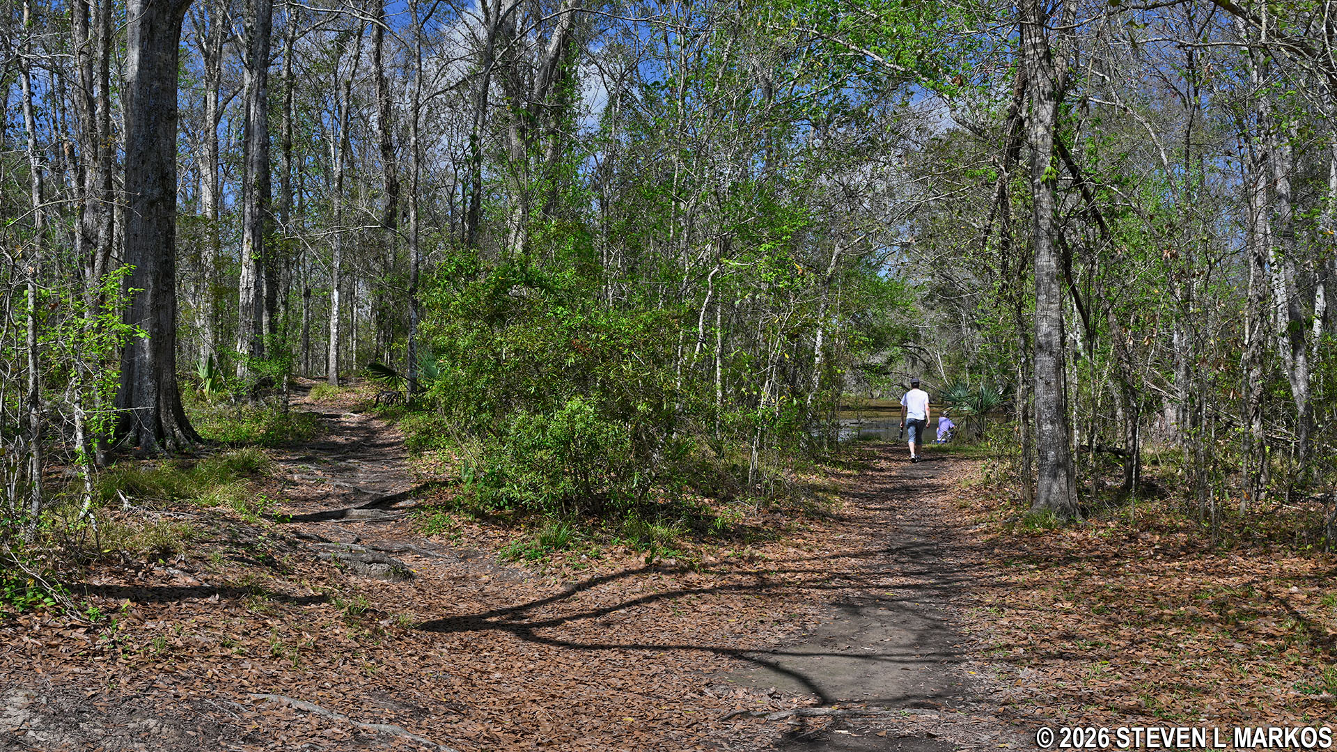
Path to the canoe launch at the Twin Canals Trail in the Barataria Preserve, Jean Lafitte National Historical Park and Preserve
When I visited, there was an ol’ timer fishing at the canoe launch who has lived in the area his entire life, and he informed me that the northern canal (on the right side of the trail with the canoe launch) quickly fills with vegetation by the end of spring, making it impossible to get very far (the southern canal is impassible at all times). Walking along the trail in early March, what I saw confirmed what the ol’ timer told me. There were sections of open water cut short by sections overgrown with water lilies and other vegetation. It was still passable, but it would be a struggle. I’ve paddled in such muck in the Everglades, and it’s like trying to paddle forward on dry land. And it’s only going to get worse as summer approaches.
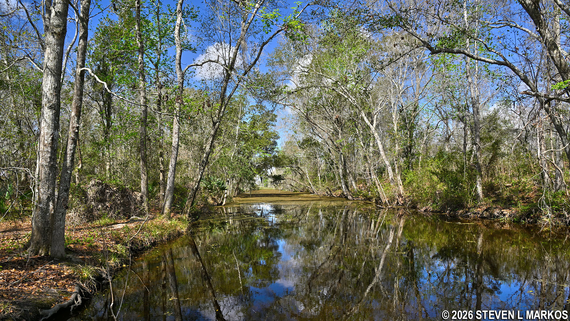
Northern Twin Canal near the canoe launch in the Barataria Preserve, Jean Lafitte National Historical Park and Preserve
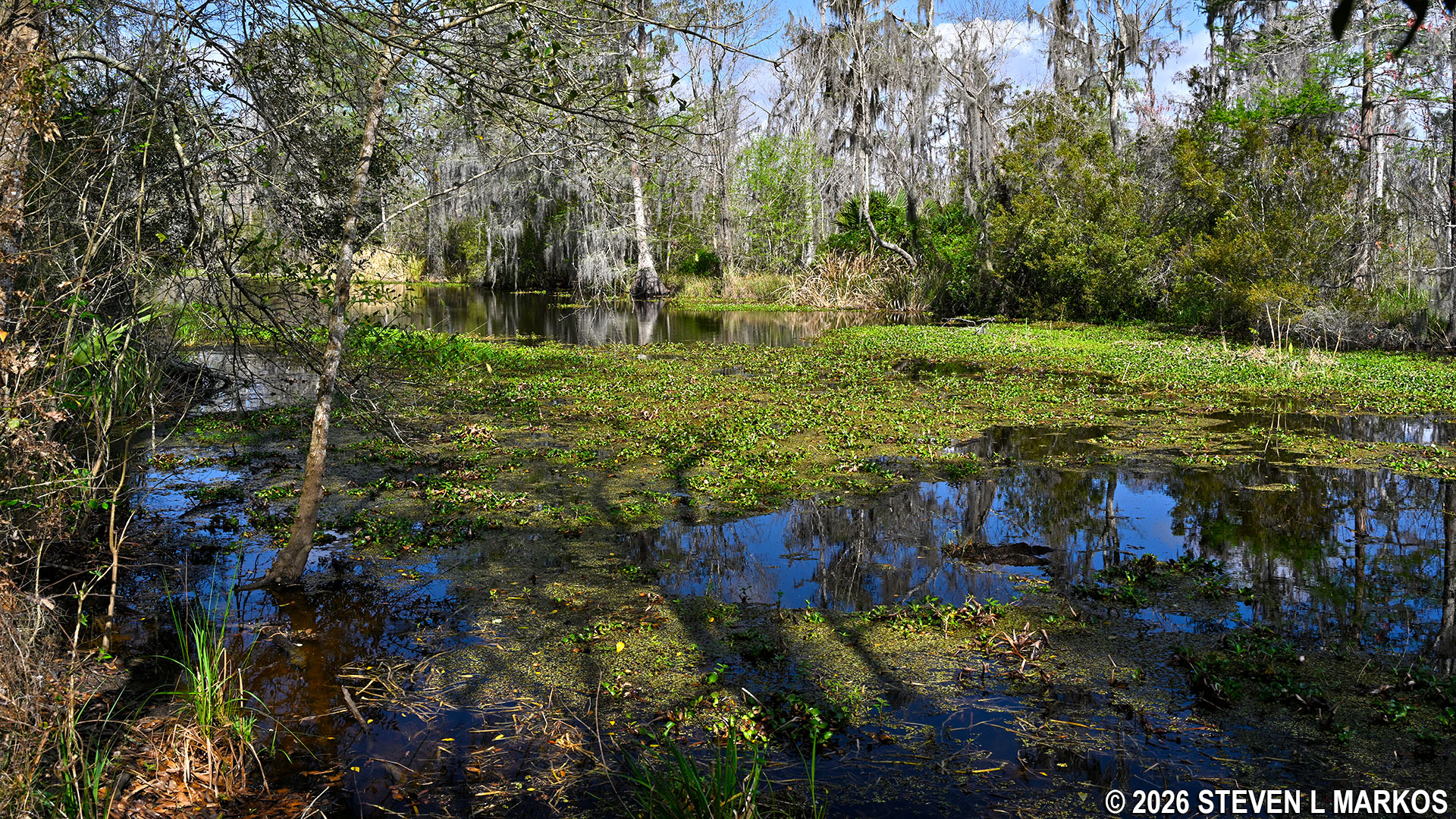
Northern Twin Canal in early March, Jean Lafitte National Historical Park and Preserve
You must make it to the end of the northern canal (about two thirds of a mile) in order to get to another canal that does not have much vegetation in it (at least from my observation in early March), and from there you MIGHT make it out to the Bayou Segnette waterway—where you have to be careful not to get run over by a motorboat. The ol’ timer said this was usually possible during the winter, but at any other time of the year, his suggestion for those who want to paddle out to Bayou Segnette is to carry the boat to the end of the Twin Canals Trail and launch from there (again, two thirds of a mile). Sounds like something you might want to try until you realize there is a boat launch right on the waterway at Bayou Segnette State Park.
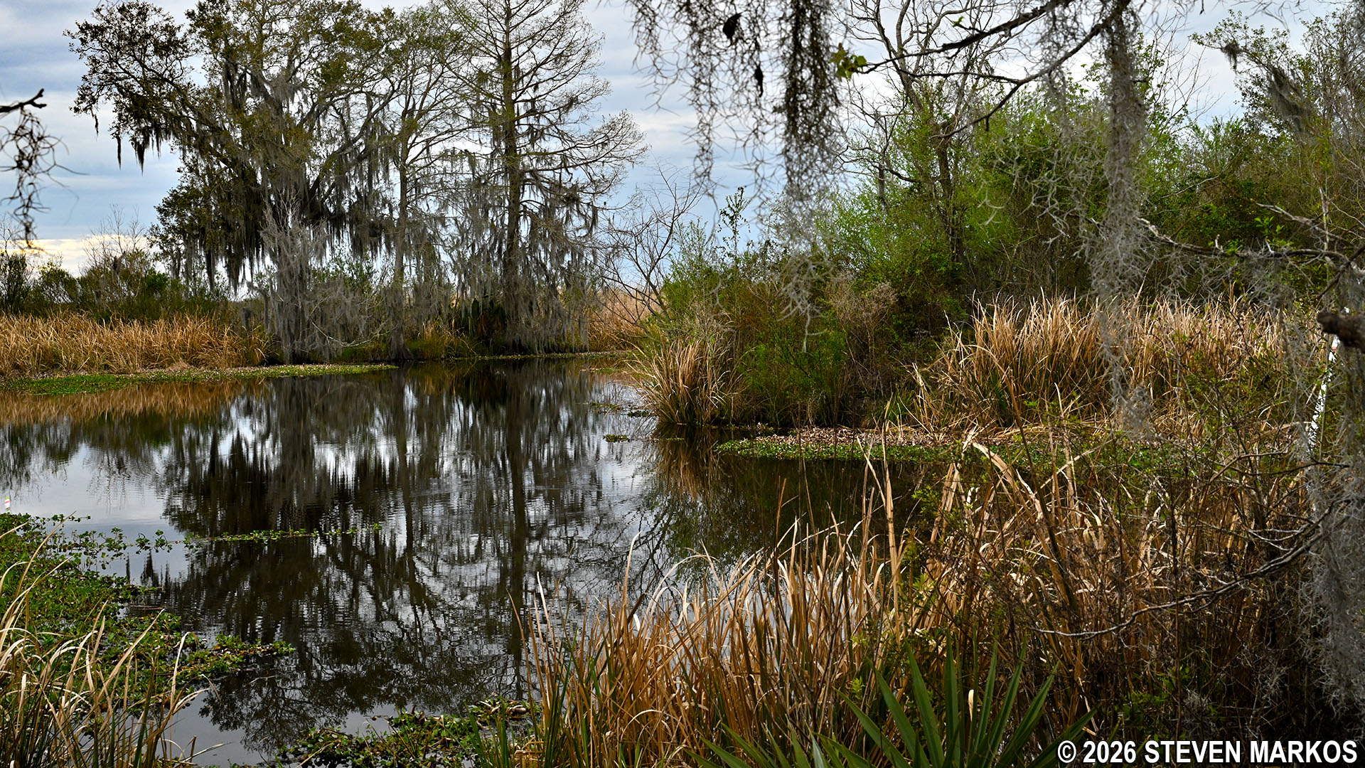
Open water of the canal at the end of the Twin Canals Trail in the Barataria Preserve, Jean Lafitte National Historical Park and Preserve
As mentioned, the southern Twin Canal is completely overgrown. This is a good example of what to expect from the other canals in the Barataria Preserve.
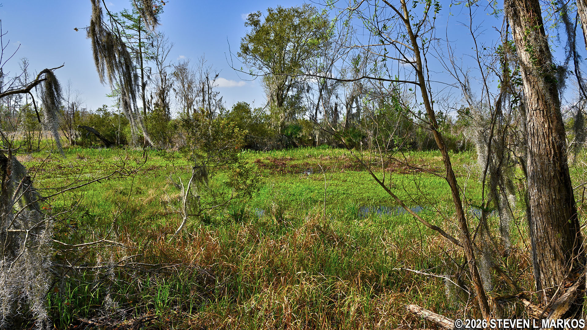
Overgrown southern Twin Canal in the Barataria Preserve, Jean Lafitte National Historical Park and Preserve
With a few exceptions, use of any photograph on the National Park Planner website requires a paid Royalty Free Editorial Use License or Commercial Use License. See the Photo Usage page for details.
Last updated on September 5, 2026


