
Wilkinson Trail at Saratoga National Historical Park
Length: 4-mile loop
Time: 2.5 hours with time to listen to the audio tour along the route
Difficulty: Mostly easy with one extremely steep climb in and out of a ravine
The Wilkinson Trail is the only named hiking trail within Saratoga National Historical Park. It is a 4-mile loop that circles the northern end of the park where most of the fighting took place between the Americans and British in the late summer and early fall of 1777. There are 14 stops along the trail that correspond to information on a printed brochure and an audio tour that you can listen to on your mobile device. To access the tour, go to the National Park Service’s official Wilkinson Trail Audio Tour web page. If you forget to do this before departing, you can scan a QR code that is posted at many of the stops. There is also a Wilkinson Trail Kid’s Audio Tour available.
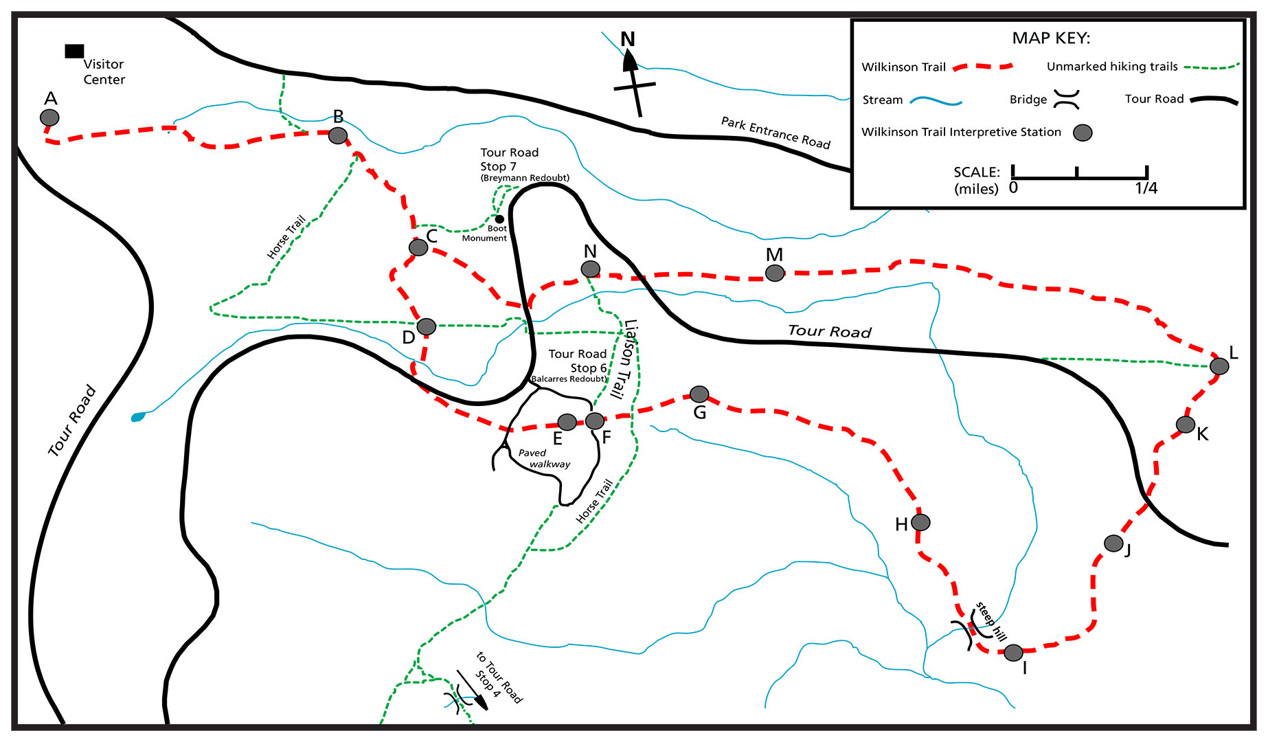
Wilkinson Trail Map (click to enlarge)
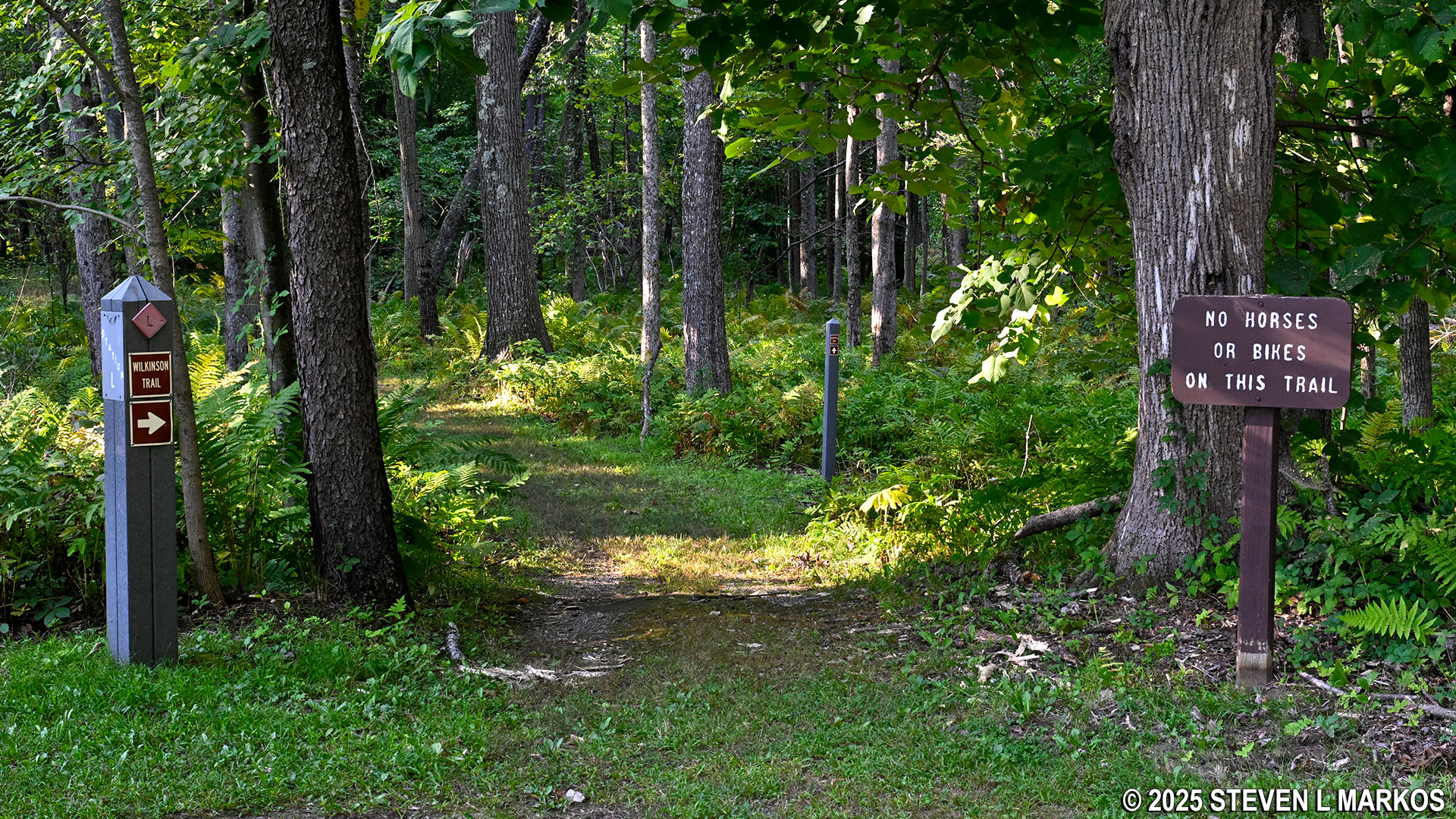
The Wilkinson Trail is for hikers only—no bicycles or horses. However, there are horseback riding trails within Saratoga National Historical Park that intersect with the Wilkinson Trail. In some cases the two trails merge, so you might see horse poop on a few short segments. Bridle trails are marked with posts that have either a horseback rider symbol or HT on them.
Wilkinson Trail intersects with one of the bridle trails in Saratoga National Historical Park
The Wilkinson Trail consists of both open and wooded terrain. Be sure to wear a hat and apply sunscreen if avoiding the sun is important to you. Furthermore, if hiking in the summer, bring insect repellant because mosquitos and gnats are a huge problem in the wooded areas. Only in the Everglades have I encountered more mosquitoes than at Saratoga National Historical Park.
The hike officially begins at the Visitor Center. Head out the back door and take the mowed grass path on the right towards a cannon. Not far beyond this is a kiosk with information about the trail.
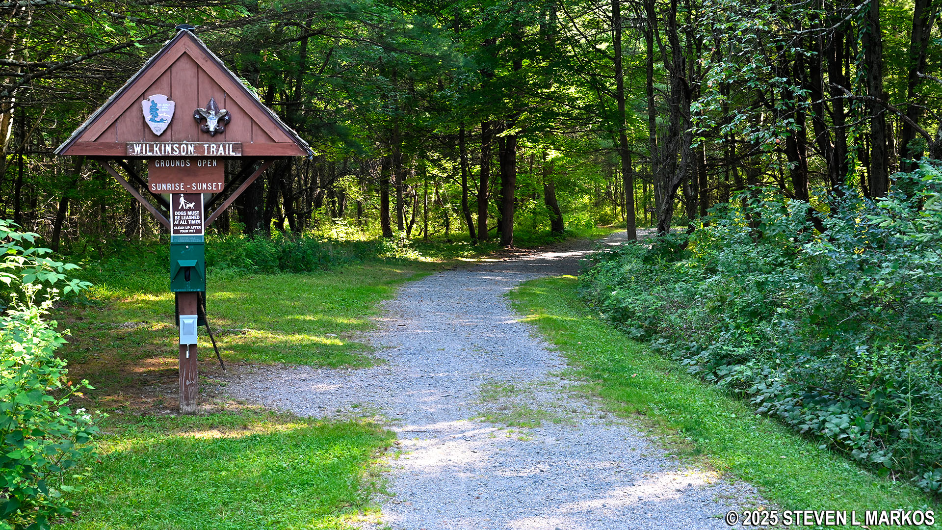
Start of the Wilkinson Trail at the Saratoga National Historical Park Visitor Center
The Wilkinson Trail is lollipop shaped, which means you walk out on the stick portion before coming to the actual loop. The stick begins as an old gravel road through the forest and descends down into the valley. However, the hike to the bottom is just a long, gradual descent, so it is not that difficult.
The trail forks a stone’s throw from the kiosk. This is Stop A on the audio tour, which discusses the prelude to the fighting at Saratoga. The audio tour is designed so that you start the narration at each stop and continue walking while you listen. You do not have to wait for the narration to conclude before proceeding.
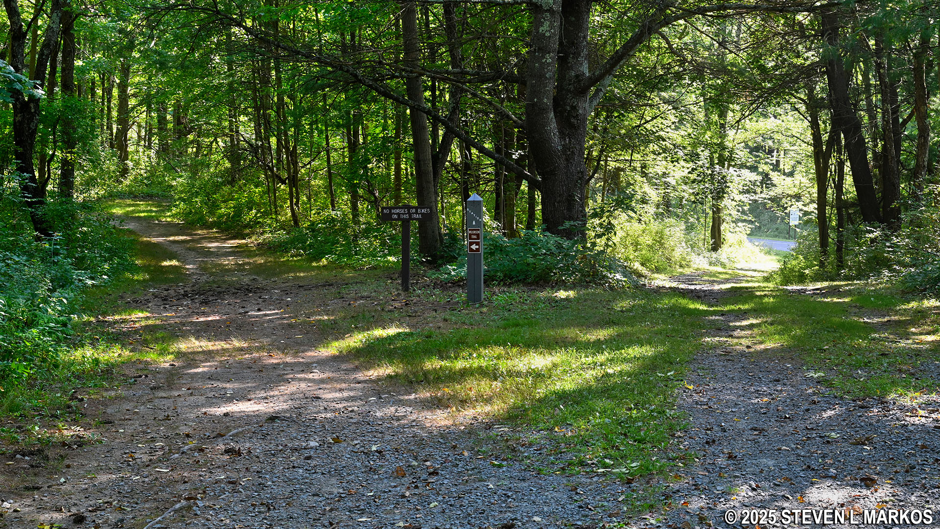
Stop A on the Wilkinson Trail at Saratoga National Historical Park
At .2 mile into the hike, the trail exits the forest and spills out into a meadow. You can see the Visitor Center up on the hill from here.
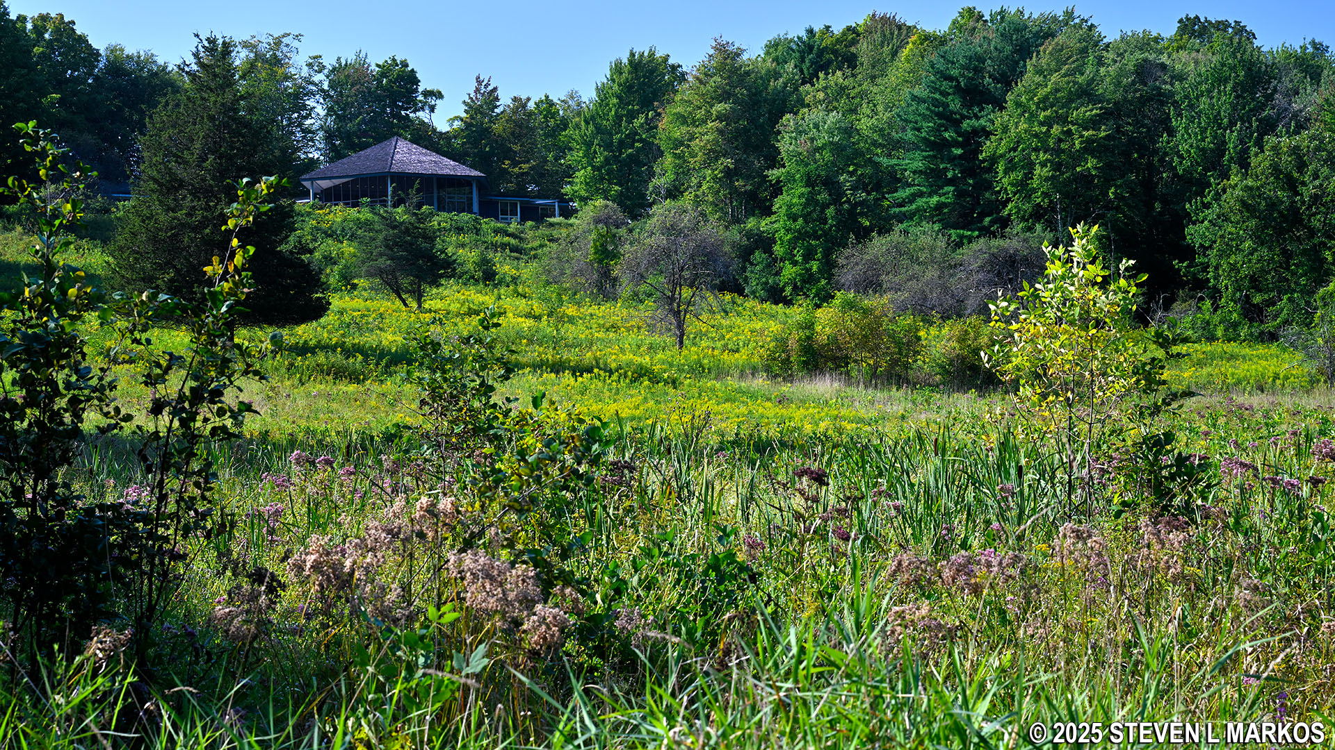
View of the Saratoga National Historical Park Visitor Center from the Wilkinson Trail
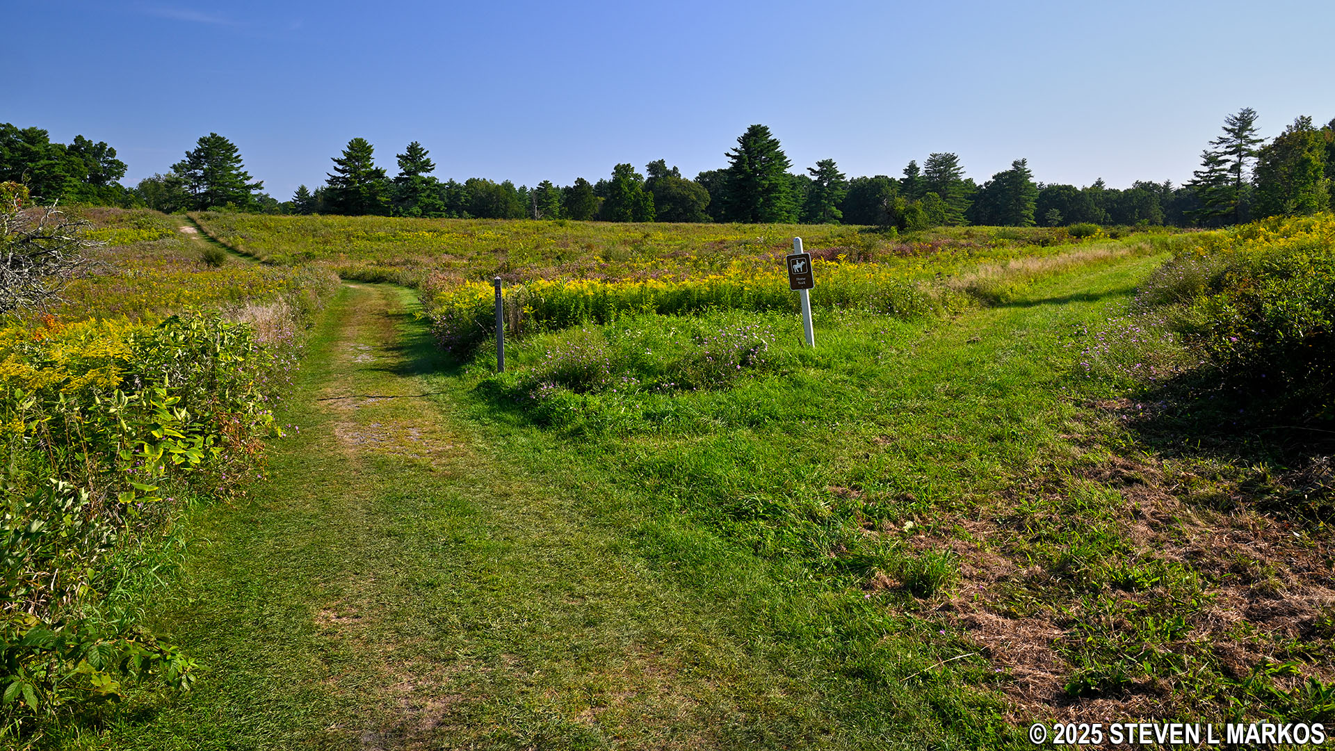
Stop B is located at the bottom of the hill, a half mile from the start. Now down in the valley, other than one steep section at the far end of the loop, the terrain is mostly comprised of small, rolling hills and is easy to hike.
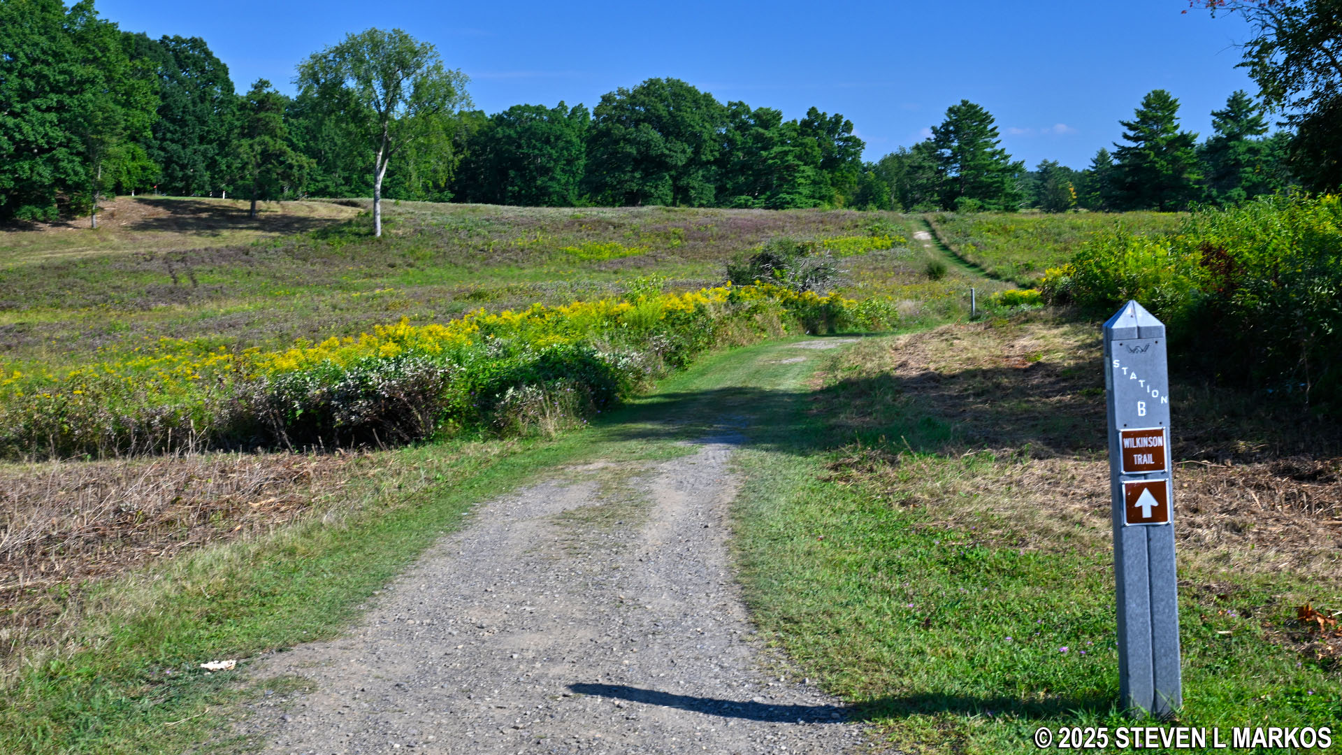
Typical terrain near Stop B on the Wilkinson Trail in Saratoga National Historical Park
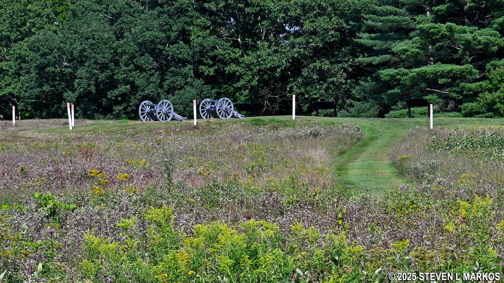
The Wilkinson Trail intersects with a bridle trail on the way to Stop C, and a few minutes farther is the intersection with a trail to the left that leads over to Stop 7 on the Saratoga Battlefield Tour. This is the location of Breymann’s Redoubt, a British earthen fort named after Lieutenant Colonel Heinrich C. Breymann. After the first battle at Saratoga on September 19, 1777 (officially called the Battle of Freeman’s Farm), the British began constructing fortifications in this area. Breymann’s Redoubt was one of two redoubts built at that time on the western flank of the British line. A redoubt is typically an enclosed fort built in an outlying area, sort of an outpost for soldiers sent to defend a strategic point.
View of the Breymann Redoubt from the Wilkinson Trail at Saratoga National Historical Park
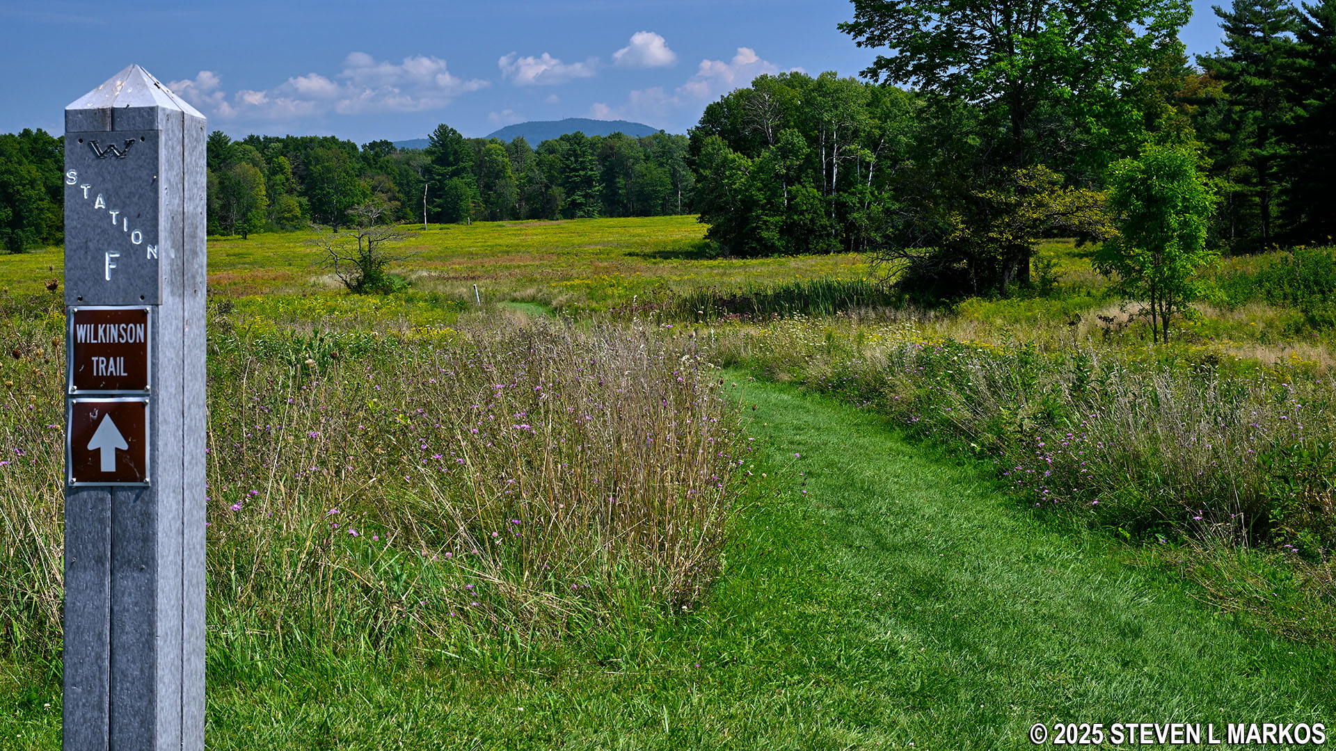
A hundred yards later (.7 mile into the hike) the Wilkinson Trail forks at Stop C. This is the start of the loop, and while you can go around in either direction, the trail is meant to be hiked counterclockwise (stay to the right) so that you come to the tour stops in numerical order, or in this case, alphabetical order.
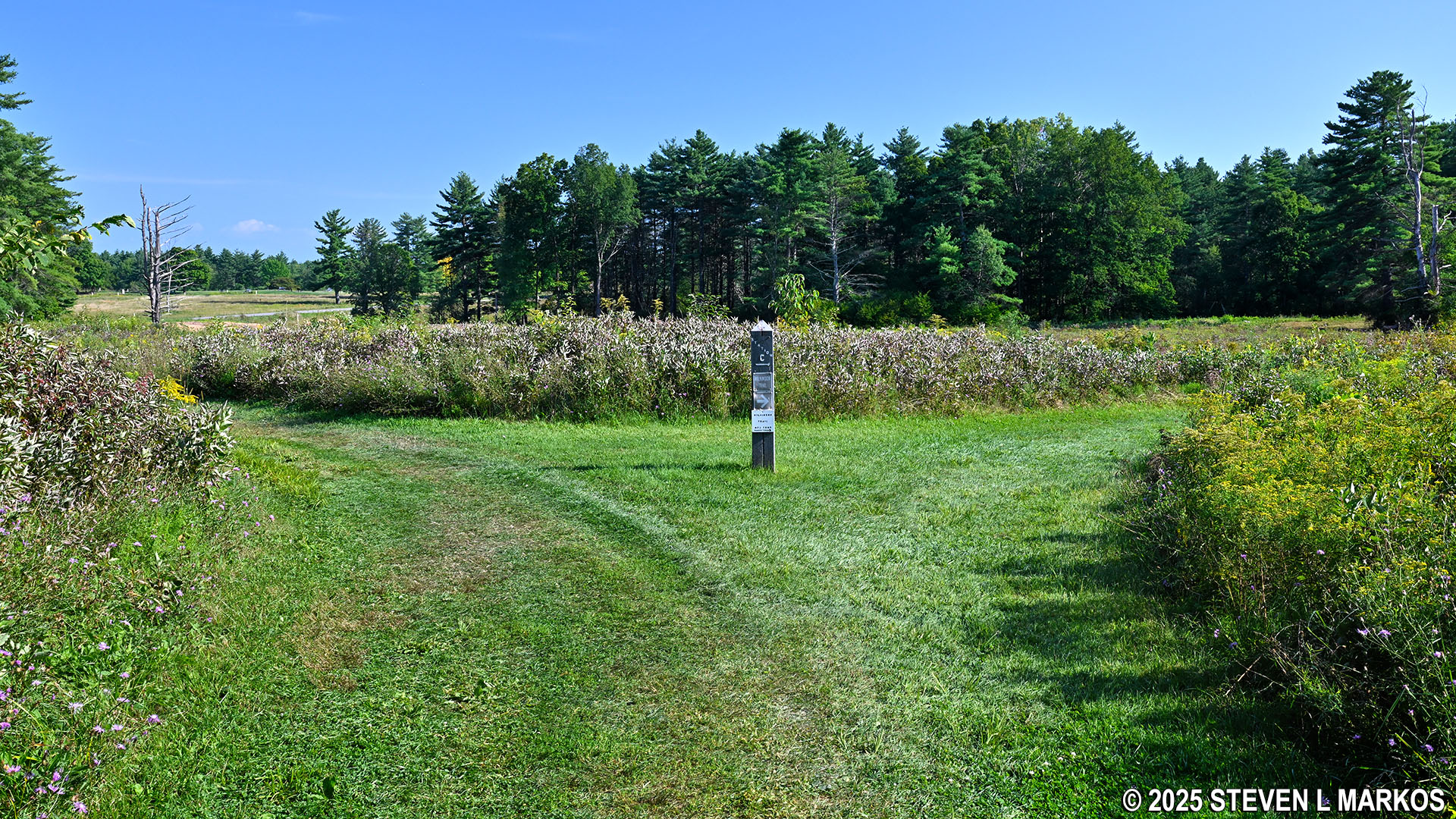
Start of the loop portion of the Wilkinson Trail at Stop C, Saratoga National Historical Park
Stop D is another tenth of a mile ahead, and by this time the trail has entered a short stretch of forest. This is the general area where the fighting began at Freeman’s Farm.
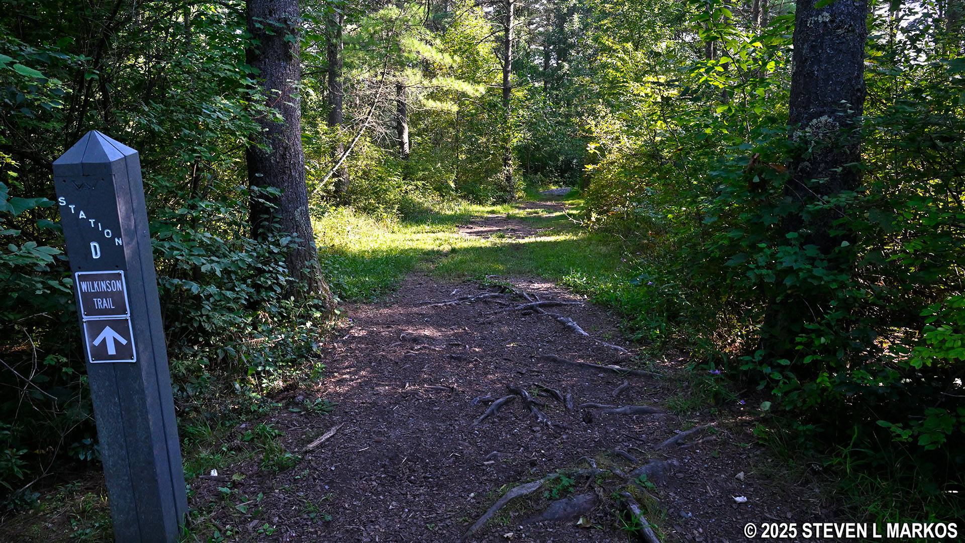
Wooded section at Stop D on the Wilkinson Trail in Saratoga National Historical Park
Freeman’s Farm is another quarter mile away. Stops E and F are at the farm, and this is also the location of Stop 6 on the Saratoga Battlefield Tour. A paved path with multiple wayside and artillery exhibits circles the farm area. The Wilkinson Trail cuts right through the center. If you haven’t been to the Freeman’s Farm stop and don’t plan on taking the Battlefield Tour, be sure to hop off the trail and make the detour around the farm.
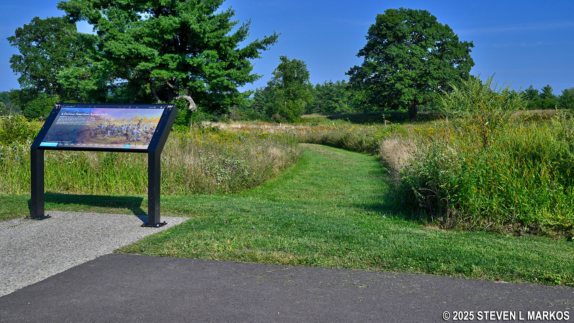
The Wilkinson Trail intersects with the paved path that circles the Freeman’s Farm stop on the Saratoga Battlefield Tour, Saratoga National Historical Park
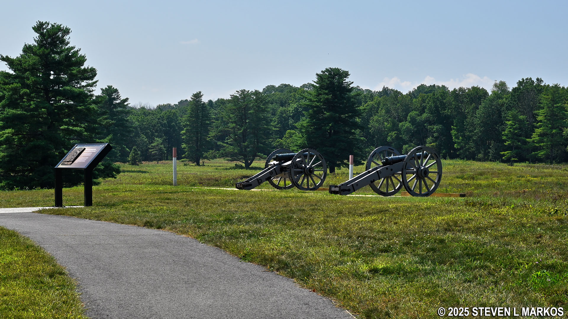
You will see plenty of red-topped posts at the farm. These mark the locations of British fortifications, which were log and earth structures. Keep in mind that the British were initially on the offensive as they attempted to march south from Canada to capture Albany, New York. The Americans blocked the way, having formed a two-mile defensive line from the Neilson Farm in the west to Bemus Heights at the Hudson River in the east. Always being on the march, the British did not build fortifications. However, they were stalled after the Battle of Freeman’s Farm. While the British won the battle, they suffered losses of around 600 men, including a large number of officers. The Americans only lost half that many, and they still blocked the way to Albany, for they simply retreated back to their line at the Neilson Farm that evening. As a result, British general John Burgoyne decided to wait for promised reinforcements from New York City before continuing south. It was during this time that the British fortifications were built.
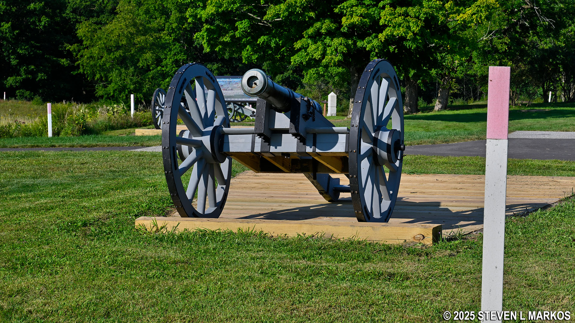
Cannon exhibits at the Freeman’s Farm stop on the Saratoga Battlefield Tour, Saratoga National Historical Park
Stop F, which is right on the paved path at Freeman’s Farm, is a stone’s throw away from the Liaison Trail. This is a .25-mile shortcut that leads over to the other side of the Wilkinson Trail at Stop N, cutting off a little over two miles from the hike. Aside from just being lazy, if you are with your kids and they are listening to the Kid’s Audio Tour, that tour cuts the hike short by following the Liaison Trail.
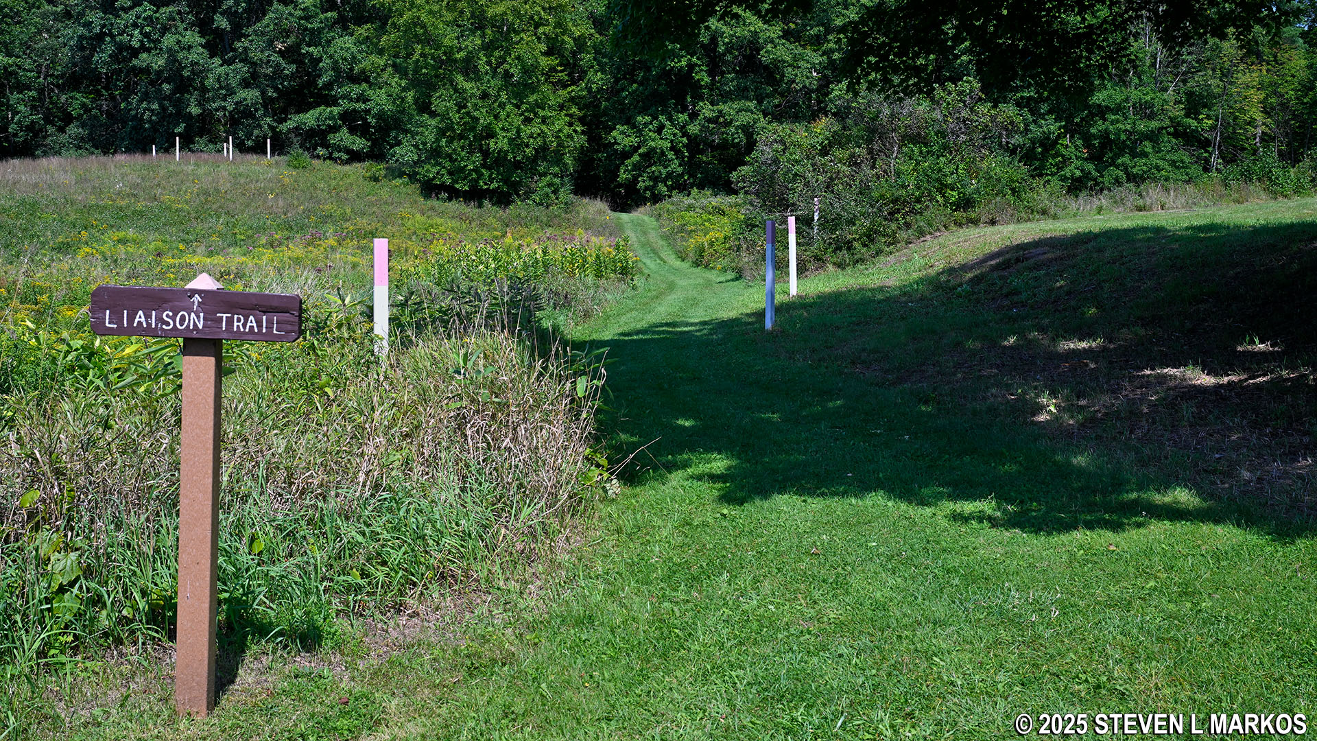
Southern trailhead for the Liaison Trail at the Freeman’s Farm stop on the Saratoga Battlefield Tour, Saratoga National Historical Park
For those who do opt to take the shortcut, the Liaison Trail starts out as a manicured grass path just like the Wilkinson Trail up to this point, but it quickly becomes more of a traditional hiking trail through the forest, complete with plenty of protruding tree roots, so watch your step. It heads down into and out of a ravine with a creek at the bottom, so it is quite steep at the beginning and end.
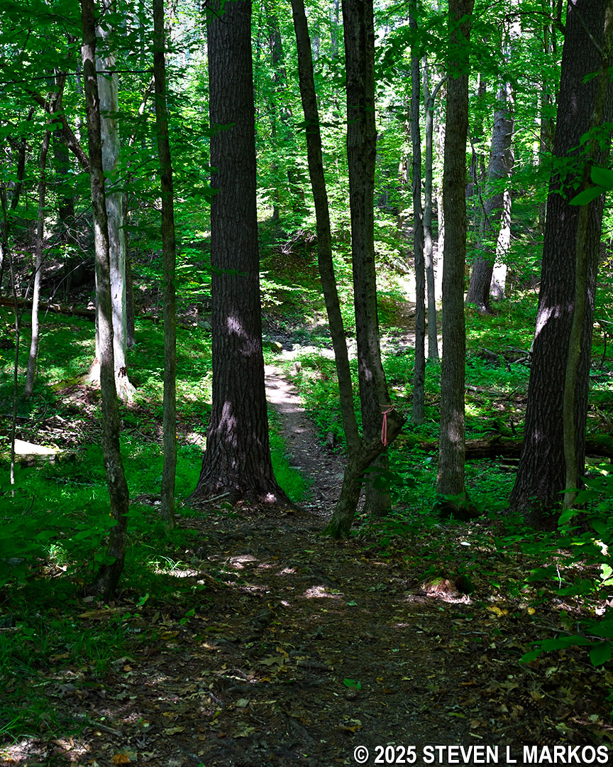
Typical terrain on the Liaison Trail, Saratoga National Historical Park
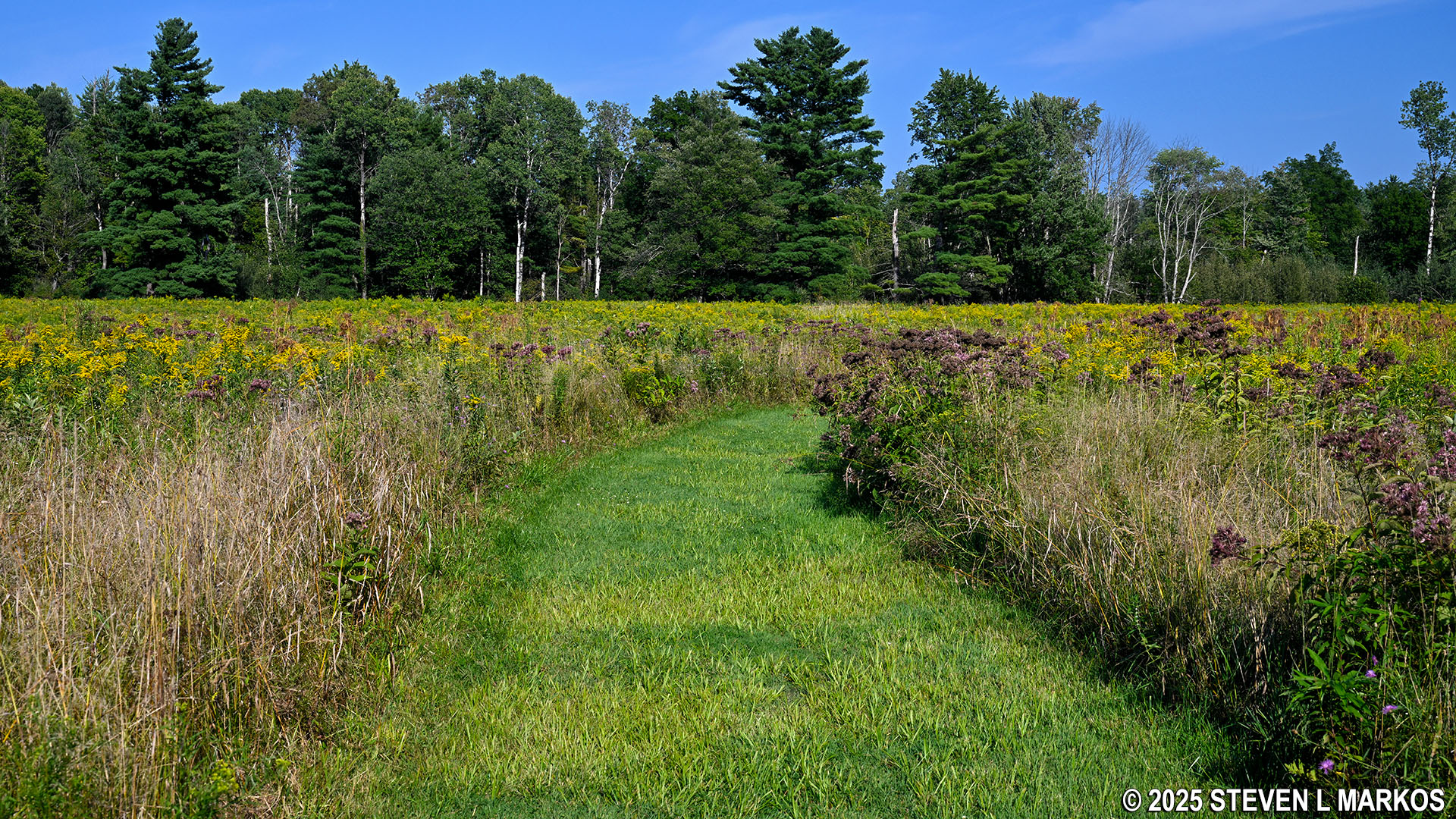
It is not too much farther to Stop G, but the distance between G and H is a little more substantial—.35 mile. Most of this segment continues through a beautiful meadow, but just before arriving at Stop H the trail once again enters into the forest and remains there all the way to Stop J. I want to point out that the mosquitos I encountered on this forested section were worse than anything I ever came across in the Everglades (albeit during a winter visit). I put a mosquito net over my head, and while I’ve done so before because of gnats, I’ve never used one for mosquitos, and I’ve hiked over a thousand miles of trails in national parks on the east coast.
Typical terrain on the Wilkinson Trail at Saratoga National Historical Park between stops G and H
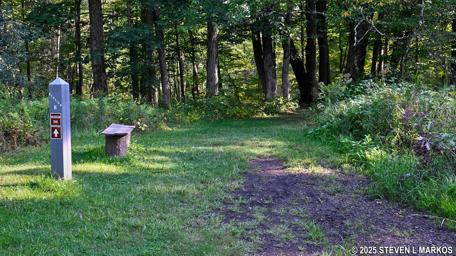
Beginning of a wooded section at Stop H on the Wilkinson Trail in Saratoga National Historical Park
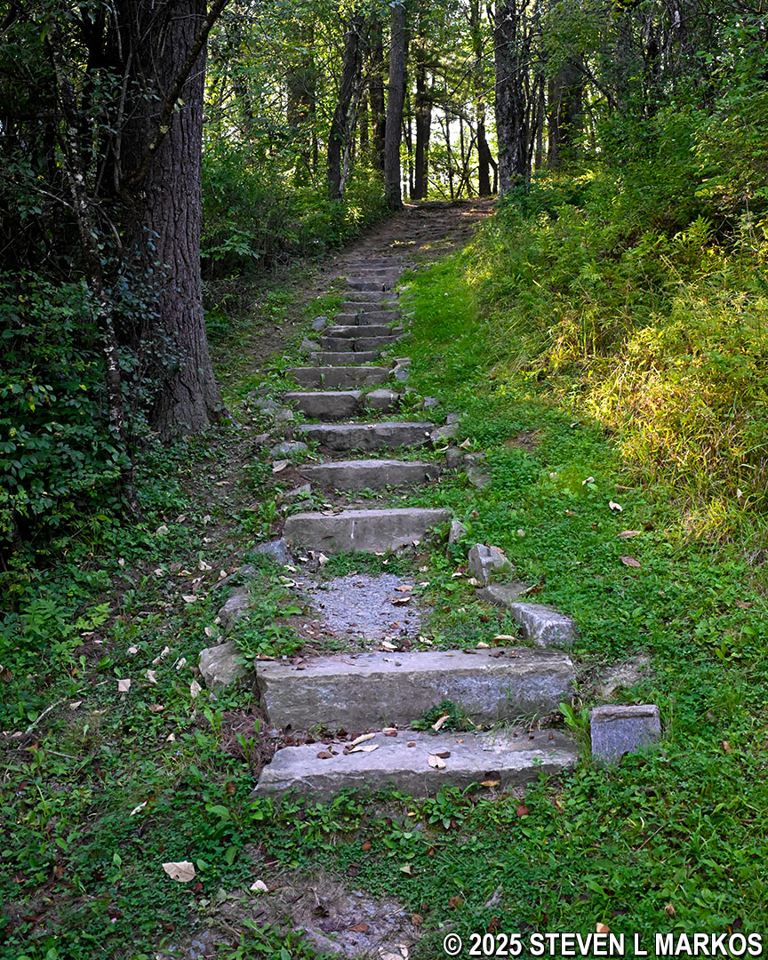
Two tenths of a mile from Stop H is the aforementioned steepest segment of trail on the hike. The National Park Service put up a warning sign at the start, and it also built a staircase to help hikers tackle the terrain. The trail heads down into another ravine, and the descent has an average grade of 20% (most hikers agree that 15% is the start of strenuous hiking). However, it is only 100-yards to the bottom at Stop I. So yes, it is steep, but the warning sign is somewhat of an overreaction. Such signs are common on biking trails, but I’ve never seen a sign warning hikers of a steep hill ahead.
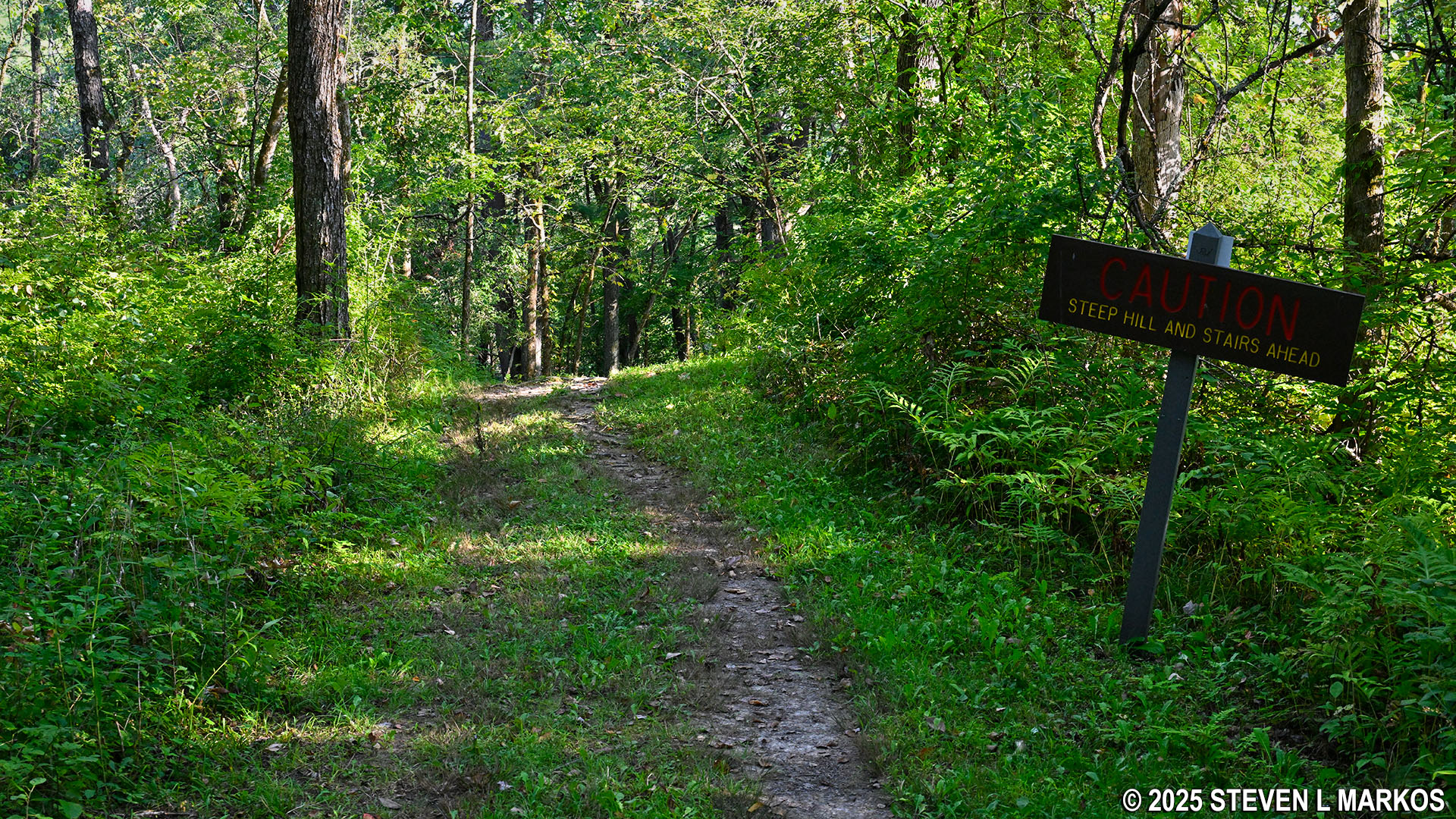
Start of a steep hill just before Stop I on the Wilkinson Trail in Saratoga National Historical Park
View from the bottom of the ravine near Stop I on the Wilkinson Trail in Saratoga National Historical Park
The hike out of the ravine is just as steep as the hike down, but at the top the trail levels out and once again becomes easy to hike. However, it is still in the forest for another .2 mile, which means another .2 mile of relentless bombardment by mosquitos (assuming you are doing the hike in the summer).
Stop J is the last stop before coming to another meadow. This is the general area where Burgoyne’s army camped after the Battle of Freeman’s Farm while they waited for reinforcements from New York. After three weeks with no help arriving, Burgoyne decided to once again march south to confront the Americans at the Neilson Farm and Bemus Heights. He didn’t get far, for the second battle also occurred in the area of Freeman’s Farm. Historians named it the Battle of Bemus Heights, most likely to distinguish it from the Battle of Freeman’s Farm. However, no fighting ever took place anywhere near Bemus Heights.
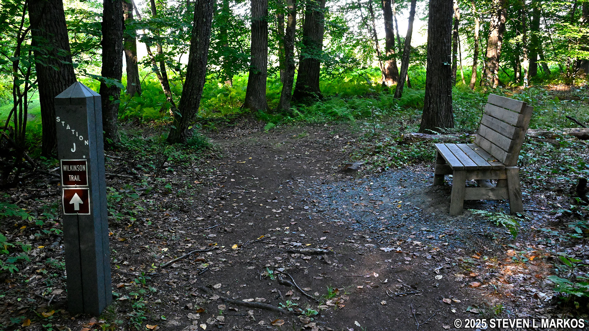
Stop J on the Wilkinson Trail at Saratoga National Historical Park
On the way to Stop K, the Wilkinson Trail crosses the battlefield tour road. A sign points right to Stop 8, but that is a stop on the Saratoga Battlefield Tour, not a stop on the trail. Go to the left to continue the hike on the other side of the road. Once back on the trail, it is .1 mile to Stop K.
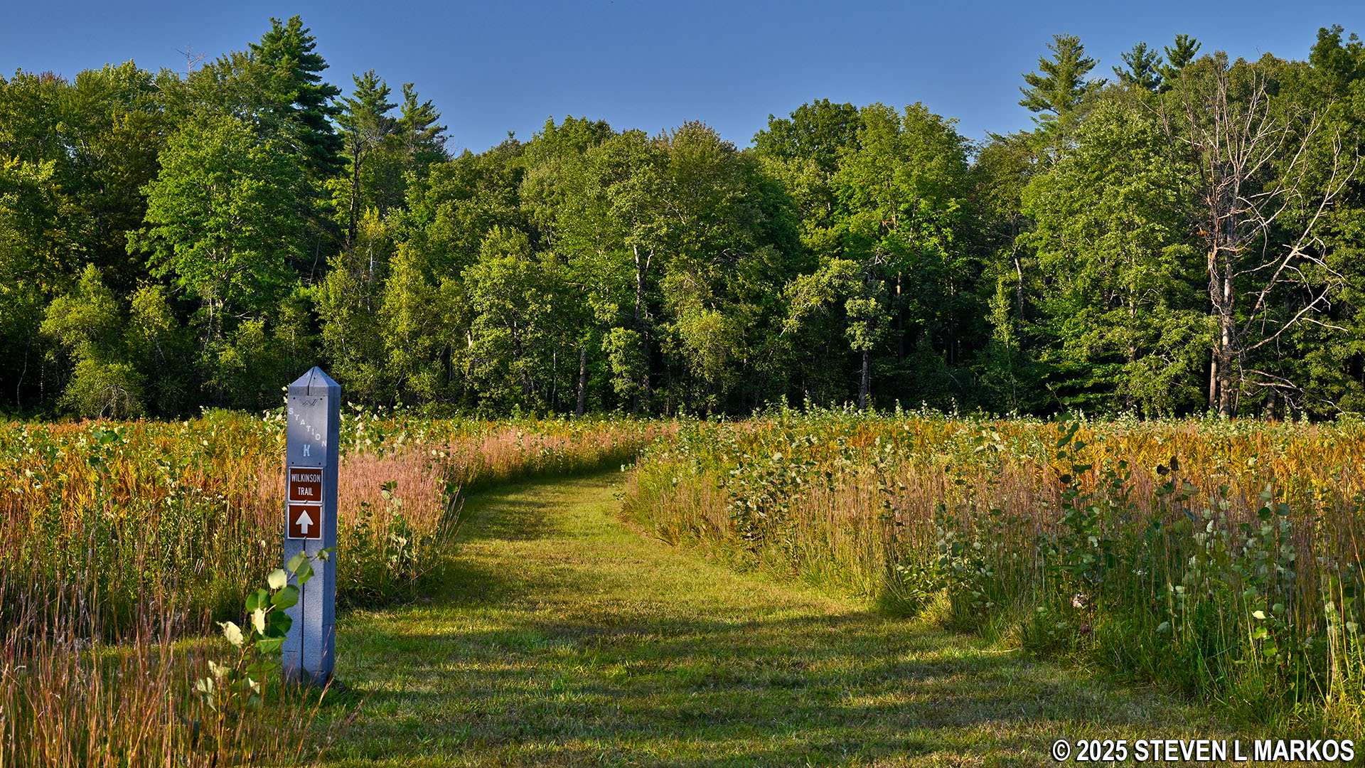
Stop K on the Wilkinson Trail at Saratoga National Historical Park
The Wilkinson Trail heads back into the forest at Stop L. This is also where the trail turns to head back west towards the Visitor Center. At this point you will have hiked 2.3 miles.
Forested section on the Wilkinson Trail begins at Stop L, Saratoga Historical National Park
The hike through the forest continues all the way until Stop N, .9 mile ahead. There are a few exposed roots on this section of the Wilkinson Trail, but other than that, the trail remains wide, fairly level, and easy to hike.
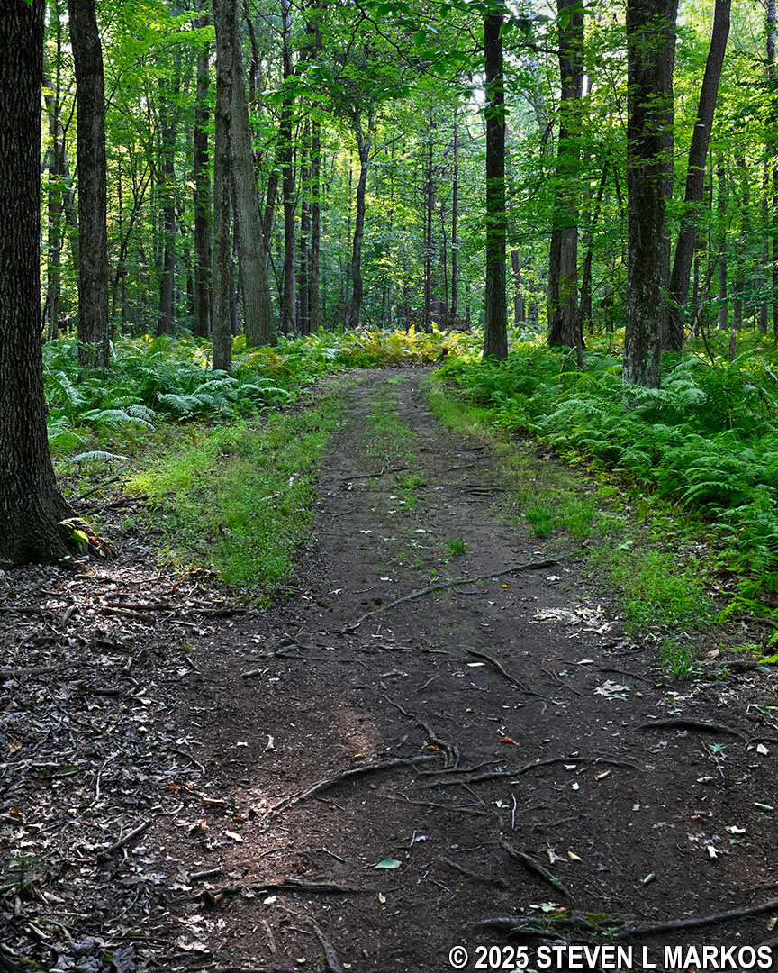
Typical terrain in the wooded section between stops L and N on the Wilkinson Trail in Saratoga Historical National Park
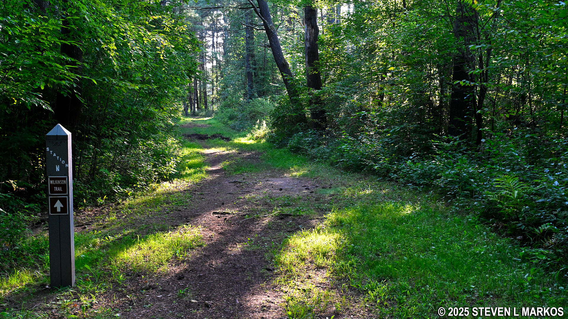
Stop N on the Wilkinson Trail at Saratoga National Historical Park
By the time the loop portion of the Wilkinson Trail ends back at Stop C, .2 mile beyond Stop N, it is back out into the open. Here at Stop C, you get another view of the Breymann Redoubt, which the Americans captured during the fighting on October 7th.
Breymann Redoubt at Saratoga National Historical Park
From Stop C it is .75 mile back to the Visitor Center. If you recall, it is uphill all the way, but it is more of a long and gradual climb than a difficult one. Overall, the Wilkinson Trail is an excellent hike if done at the right time of year. I can vouch for the fact that late August isn’t the right time due to the heat and the mosquitos.
With a few exceptions, use of any photograph on the National Park Planner website requires a paid Royalty Free Editorial Use License or Commercial Use License. See the Photo Usage page for details.
Last updated on October 16, 2025


