

Victory Woods boardwalk trail in Saratoga National Historical Park
After losing the Second Battle of Saratoga (aka Battle of Bemus Heights) on October 7, 1777, the British army under the command of General John Burgoyne retreated north towards the village of Saratoga (now Schuylerville) the next night. Victory Woods marks the location where the army set up camp and built defenses in order to make a last stand against the pursuing Americans. Instead, they just ended up becoming surrounded. With dwindling supplies and being outnumbered three to one by that point, Burgoyne eventually surrender on October 17th. This was the first time in history that a British army surrendered, and it is the event that swayed the French to join the war on the side of the Americans. They officially entered the war in February 1778.
The Victory Woods site at Saratoga National Historical Park is open daily during daylight hours. A tenth-of-a-mile boardwalk trail leads through the site. For those who do not have trouble walking, the National Park Service requests that you park at the Saratoga Monument near the corner of Burgoyne Street and Cemetery Road and walk from there. Signs point the way. There is handicap-permit parking at the end of Monument Drive (first right past the monument when coming from Cemetery Road), and this parking lot is right at the start of the boardwalk. There is an additional earthen trail that begins midway on the boardwalk for those who want to explore the area further.
The hike from the Saratoga Monument is 1.5 miles round trip, including the hike on the boardwalk and earthen trail at Victory Woods. There are a few hills, but overall it is easy terrain to cover. Plan to spend an hour for the round trip hike and to read the wayside exhibits along the way. For those parking at the end of Monument Drive with a handicap parking permit, the boardwalk trail itself is only .1 mile (one way), which is hardly worth the effort of getting out your wheelchair.
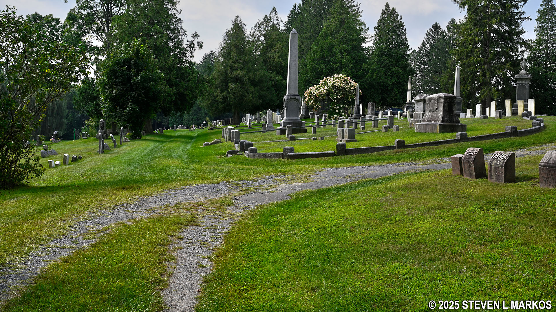
I began my hike at the monument, which is actually located in Prospect Hill Cemetery. If you like cemeteries, as I do, then this is not a bad place to start. Of course, those who will not walk through a cemetery and who do not have a handicap parking permit are pretty much out of luck as far as visiting Victory Woods.

The Saratoga Monument is located in Prospect Hill Cemetery and is part of Saratoga National Historical Park
Look for a large VICTORY WOODS information sign at the southwest corner of the monument (exactly like the one at the start of the Victory Woods boardwalk shown in the photograph at the top of this page). It is a little confusing as to which way to go if you do not realize that you must walk through the cemetery. If reading the sign, continue straight ahead. The trail starts out on a grass path with tire tracks worn deeply into the ground, but it quickly becomes a paved road.

The trail from the Saratoga Monument to Victory Woods starts out as a paved road through Prospect Hill Cemetery, Saratoga National Historical Park
The road forks just a stone’s throw ahead, with the paved section curving to the right and a gravel road continuing straight ahead. I believe either route will get you to the far end of the cemetery, which is where you want to end up, but I took the gravel road. This heads through a wooded area with tombstones on either side.

The trail from the Saratoga Monument to Victory Woods continues on a gravel road through Prospect Hill Cemetery in Schuylerville, New York

Gravel road through Prospect Hill Cemetery in Schuylerville, New York
The wooded segment doesn’t last long, and soon you will be back out into the sunshine where the trail forks once again. As before, I don’t think it ultimately matters which way to go, but my GPS had the trail on its map, and it indicated that the official route is on the road that curves to the right, which by this point is a combination of paved and dirt segments.
Second fork on the path to Victory Woods through Prospect Hill Cemetery in Schuylerville, New York
A quarter mile into the hike, the road ends at a T-intersection. A right leads out of the cemetery, so take a left and head towards a large weeping willow tree. There is a gap between the weeping willow and some other trees lining the road, and the trail to Victory Woods is at the gap. A directional sign points the way.
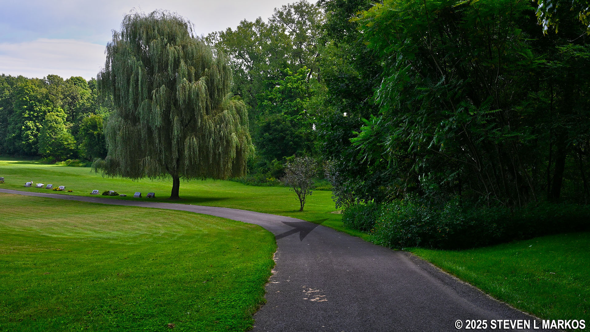
Weeping willow tree in Prospect Hill Cemetery in Schuylerville, New York

Trail from Prospect Hill Cemetery to Victory Woods, part of Saratoga National Battlefield Park
The .1-mile trail segment between the Prospect Hill Cemetery and Victory Woods runs through the forest. When I visited Saratoga National Historical Park in late August, whenever I enter a wooded section back at the battlefield unit, I was swarmed by mosquitoes. However, at Victory Woods, just nine miles to the north, there were a few of the pests, but nothing like on the battlefield.

Wooded trail between Prospect Hill Cemetery and Victory Woods, part of Saratoga National Battlefield Park
It is a half mile from the Saratoga Monument to the Victory Woods Boardwalk. The same large information sign is at the start, and there are a few other wayside exhibits along the trail.

Start of the Victory Woods boardwalk at Saratoga National Historical Park
The Boardwalk is not very long. In less than a tenth of a mile is the intersection with the earthen trail mentioned earlier, and the boardwalk continues just another 100 yards beyond the turn before ending at a deck with a picnic table. Total distance, round trip, from the Monument Road parking lot is not even two tenths of a mile.

Intersection with the dirt trail near the midway point on the Victory Woods boardwalk, Saratoga National Historical Park

Deck and picnic table at the end of the Victory Woods boardwalk, Saratoga National Historical Park
I took the dirt trail on the way back. It is only .2 mile long, though according to a sign at the end, it will one day be extended to connect to the Champlain Canal towpath and other trails in the area. But for now, the dirt trail is not worth anyone’s time. To tell the truth, the entire hike from the Saratoga Monument to Victory Woods is a long walk for not much of anything.

Dirt trail at Victory Woods, Saratoga National Historical Park

End of the dirt trail at Victory Woods, Saratoga National Historical Park
With a few exceptions, use of any photograph on the National Park Planner website requires a paid Royalty Free Editorial Use License or Commercial Use License. See the Photo Usage page for details.
Last updated on October 18, 2025


