

East Side Hike Map (click to enlarge)
For a map of the trails at Marsh-Billings-Rockefeller National Historical Park and the surrounding parks, download the Walk Woodstock Trail Map (PDF) or pick up a copy at the Carriage Barn Visitor Center.
Length: 4.2-mile loop
Time: 3 hours
Difficulty: ★★★★☆
I divided my hiking at Marsh-Billings-Rockefeller National Historical Park into two hikes, one covering the east side of the park and one the west side, using The Pogue (a small pond) as my dividing point. My East Side Hike covers all or parts of nine trails and carriage roads. I created a loop that leads to the north and south peaks of Mount Tom, skirts The Pogue, and then heads back to the starting point using various carriage roads and hiking trails, a distance of 4.2 miles. Much of the route, including the Mount Tom peaks, is actually located in Billings Park, but there is no barrier to entry, and you won’t even know when you are leaving one park and entering another.
MOUNTAIN ROAD
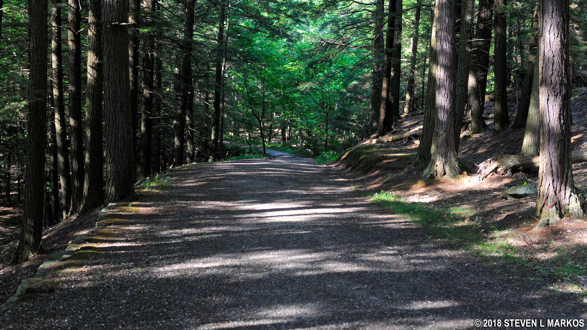
Any hike in the east side of the park begins near the entrance on Route 12. A gravel driveway leads into the park and forks almost immediately—take a right to reach the trails. This is actually a carriage road named Mountain Road.

Mountain Road leads to the hiking trails at Marsh-Billings-Rockefeller National Historical Park
Five minutes ahead is the turnoff for the Forest Center and 1876 Barn. The Forest Center is a classroom and meeting space that is not open to park visitors (except during scheduled events and workshops), but the adjacent barn is open. Inside is an exhibit on the landscape features of the park, the development of scientific forestry in the United States, and a collection of antique carriages. You can browse through the exhibits in less than fifteen minutes.

Forest Center building at Marsh-Billings-Rockefeller National Historical Park
The first stop on the hike is the South Peak of Mount Tom, which is reached via the Precipice Trail, one of the more difficult in the park. To get to the trailhead, continue up the mildly sloping Mountain Road and take the first left past the Forest Center onto another carriage road (there is no sign identifying it). This road intersects with yet another carriage road in just 500 feet; take a right. Straight ahead is what is identified as a horse shed on the map.

Intersection of Mountain Road and another carriage road near the Horse Shed, Marsh-Billings-Rockefeller National Historical Park
Continue down the road and take the second left towards the North Peak and Precipice trails. The turn is marked with a sign, and while the path looks like a hiking trail, the Walk Woodstock Trail Map shows it to be a carriage road.
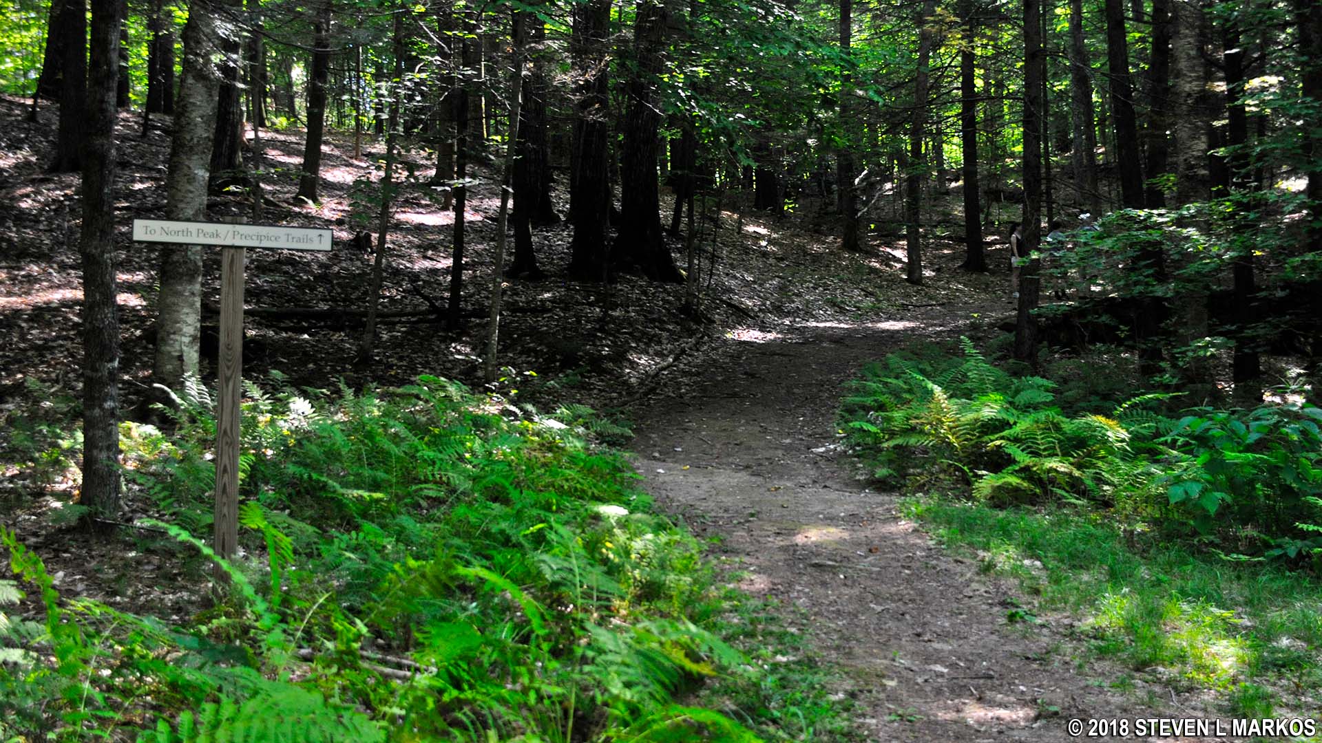
Turnoff from the carriage road for the North Peak and Precipice trails, Marsh-Billings-Rockefeller National Historical Park
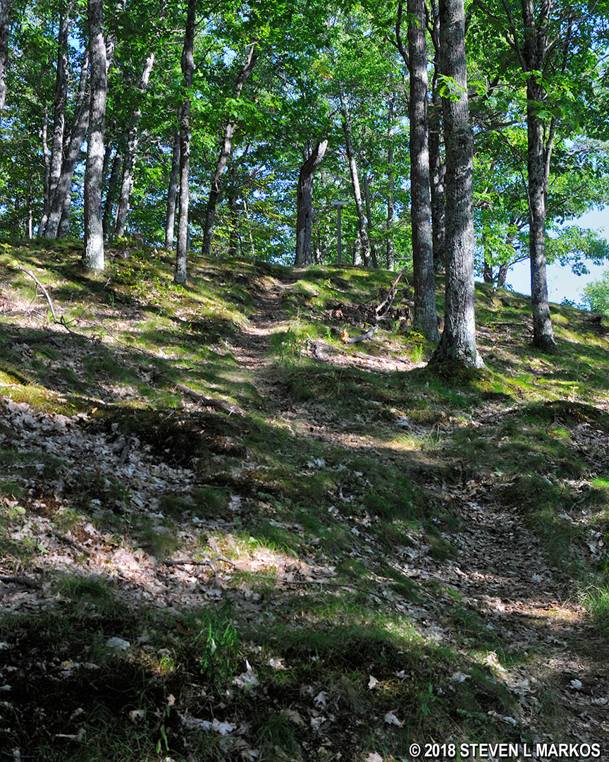
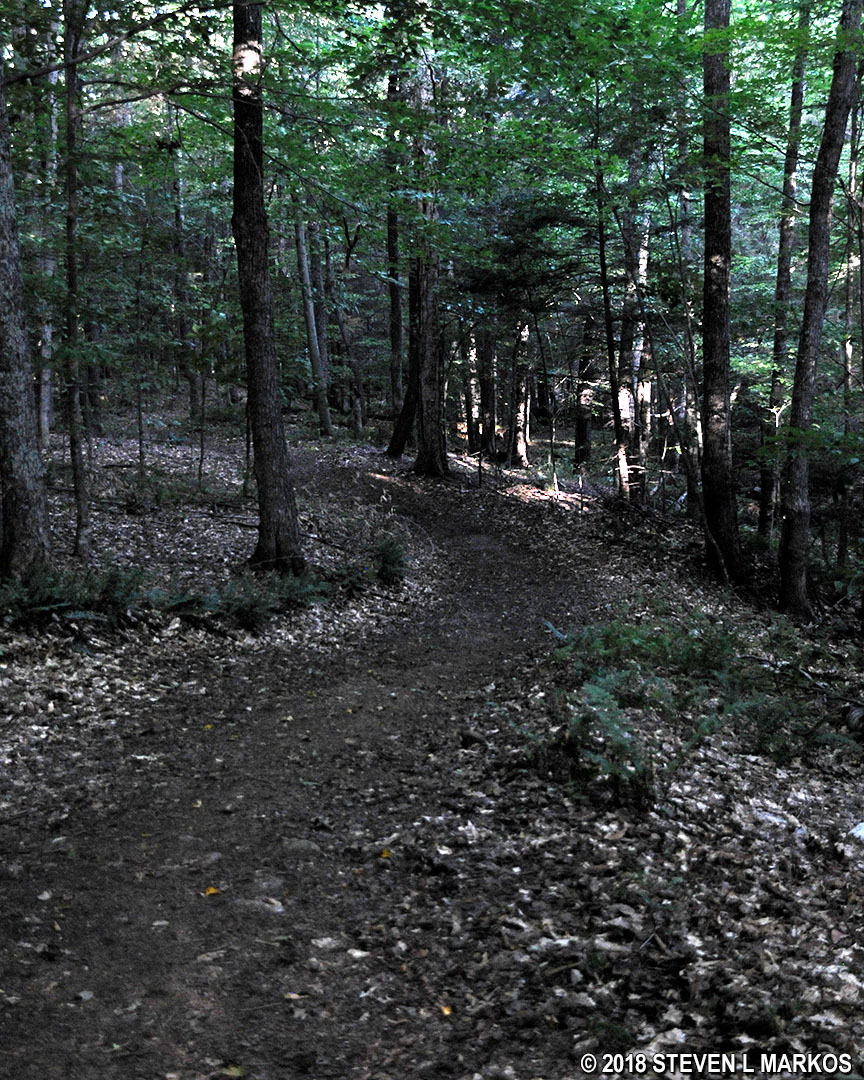
There is an intersection in a tenth of a mile with an unnamed trail, and after this the terrain gets even rockier and steeper. Despite what the map calls it, this is definitely not a carriage road. It ends at the start of the Precipice Trail.
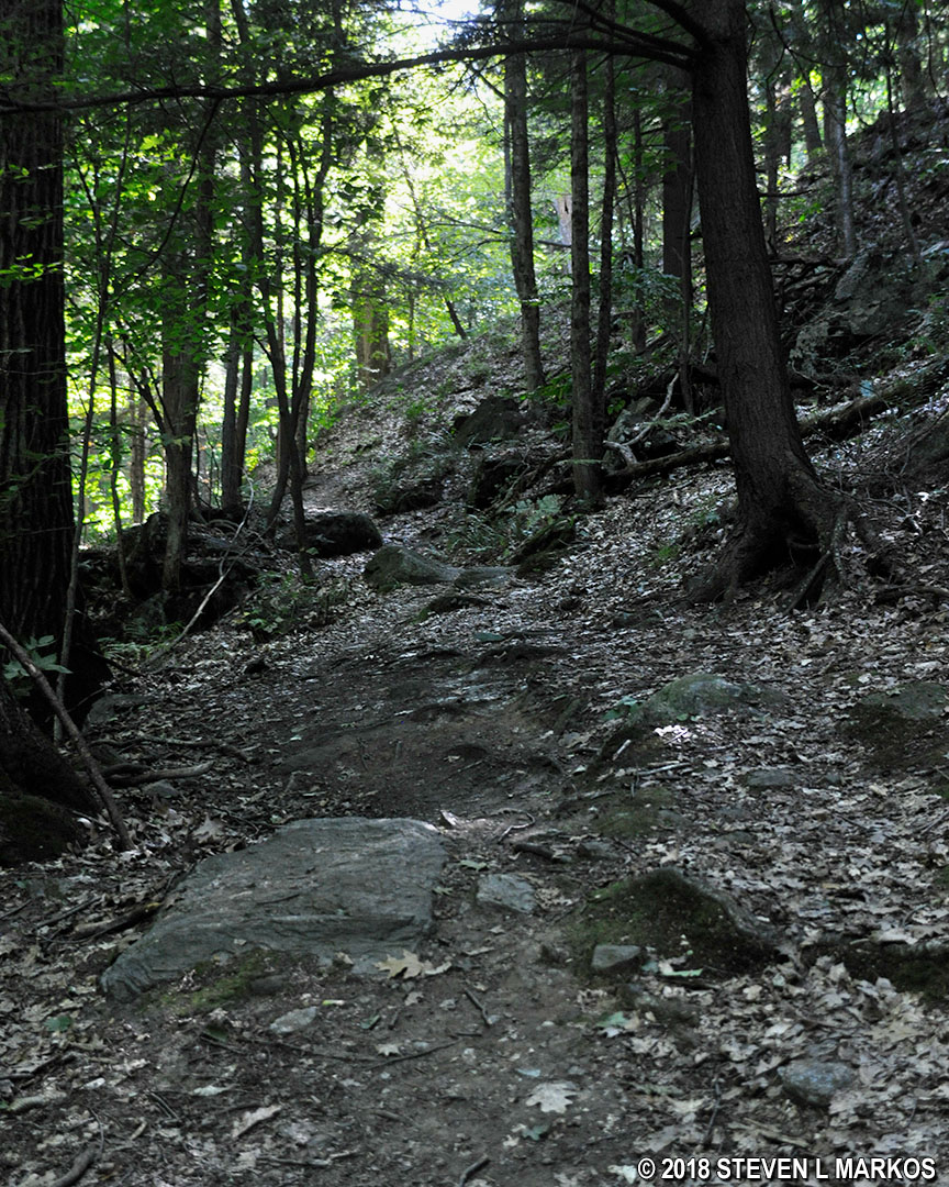
Rocky and steep terrain just before reaching the northeastern end of the Precipice Trail, Marsh-Billings-Rockefeller National Historical Park
THE PRECIPICE TRAIL
The difficulty of trails within Marsh-Billings-Rockefeller National Historical Park and the other adjacent parks is denoted on the trail signs by using the same system for ranking ski trail difficulty. This is fittings since Mount Tom used to be a ski slope for beginners that operated from the early 1950s until around 1980 (it was part of the Suicide Six Resort). A green circle means easy, a blue square is moderate, and a black diamond is difficult. The Precipice Trail is marked with a black diamond.

Trail signs at Marsh-Billings-Rockefeller National Historical Park showing hiking difficulty level
The Precipice Trail is very narrow. If two people are coming in opposite directions, there are plenty of spots where somebody has to step off the trail to let the other person pass.
Narrow pathway of the Precipice Trail in Marsh-Billings-Rockefeller National Historical Park
The turnoff for the North Peak Trail comes almost immediately, and the intersection with the Upper Link Trail is ten minutes farther ahead. Pass both of these and remain on the Precipice Trail. Between the two intersections, the trail ascends moderately hilly terrain, but the difficulty stems more from the rough surface that the grade of the slope.
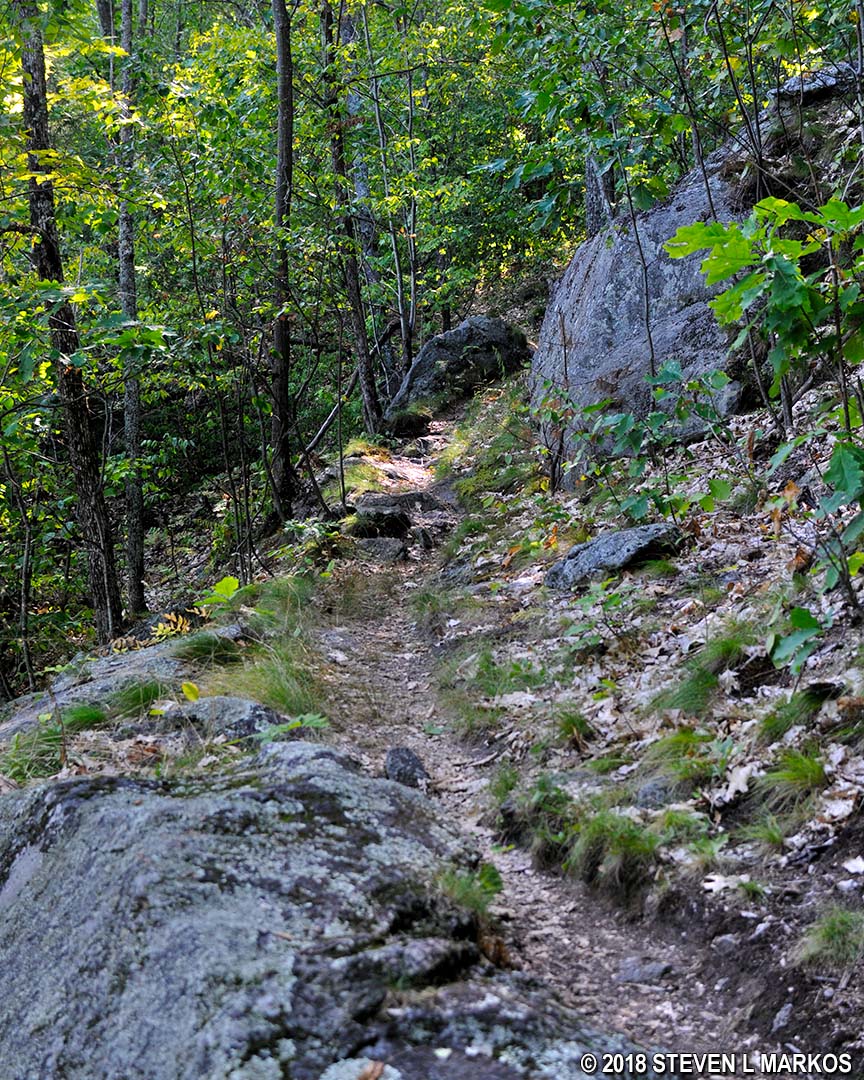
After passing the Upper Link Trail the difficulty kicks up a notch, both in the rockiness of the terrain and in the grade of the ascent. The average grade of the Precipice Trail is 9%—a grade of 5% is considered wheelchair accessible, while a grade of 15% is where strenuous hiking begins. There are, however, many short segments with grades as steep as 50%, and sustained grades in the 20% range are not uncommon as you get closer to the peak. In fact, the final ascent to the summit is along switchbacks. (A grade is not the angle of the slope, but the calculation of rise (climb in elevation) divided by run (length of horizontal progress) expressed as a percentage ((rise/run) x 100). For example, using feet as the unit of measurement, a 10% grade means that a trail climbs 10 feet for every 100 feet in length.)
Steep grade and rough trail surface of the Precipice Trail in Billings Park, Woodstock, Vermont
A Ranger described the Precipice Trail to me as “hugging a ledge.” I had recently come from Acadia National Park where its Precipice Trail is one of the most difficult trails on the east coast of the United States, and ledge means a 500-plus foot drop straight down. This is not the case at Marsh-Billings-Rockefeller National Historical Park, or to be more accurate, Billings Park. Here a ledge means a ridge, so if you trip and fall—and you’d probably have to be drunk to do so—you will just tumble down a really steep hill into a ravine, though that’s not to say you can’t be seriously injured or even killed. In areas flanking the steeper parts of the ravine, a wire guard rail has been installed.
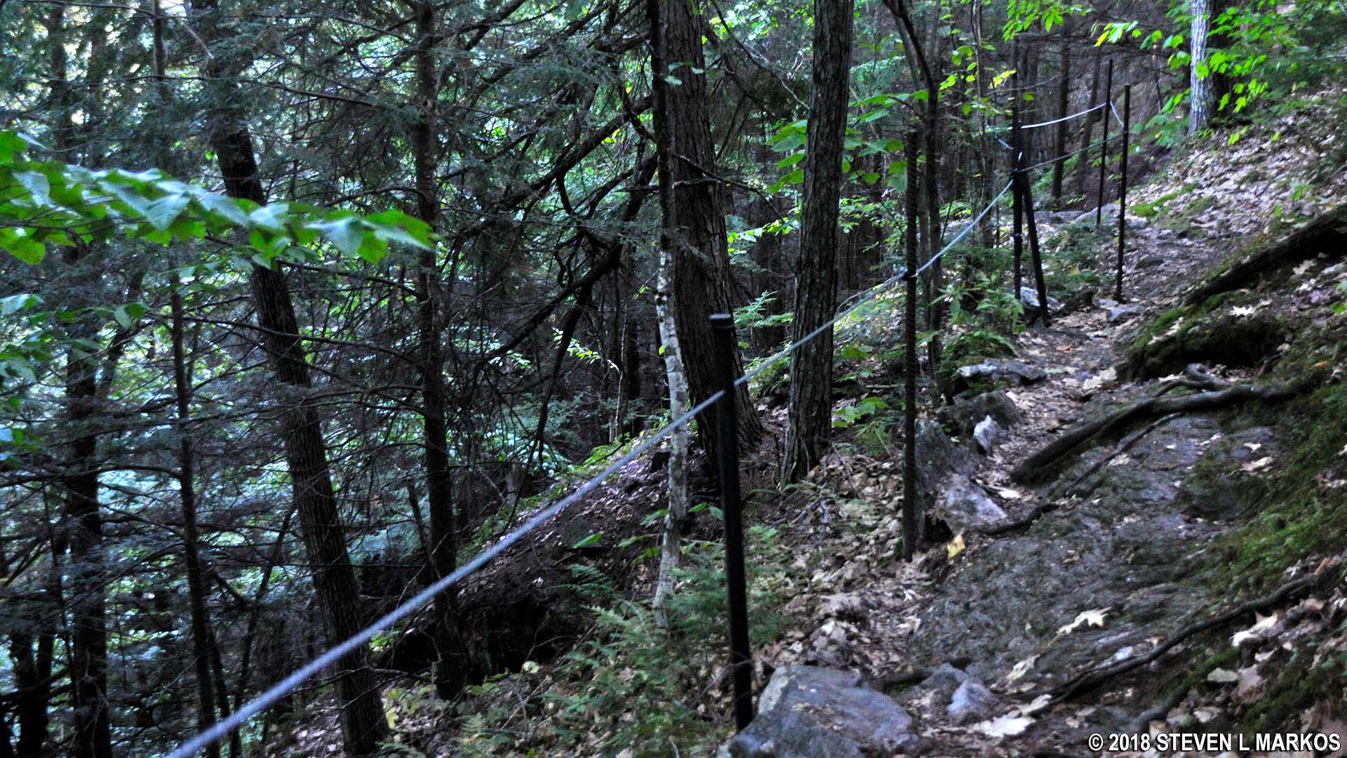
Wire guardrail along the steeper sections of the Precipice Trail in Billings Park, Woodstock, Vermont
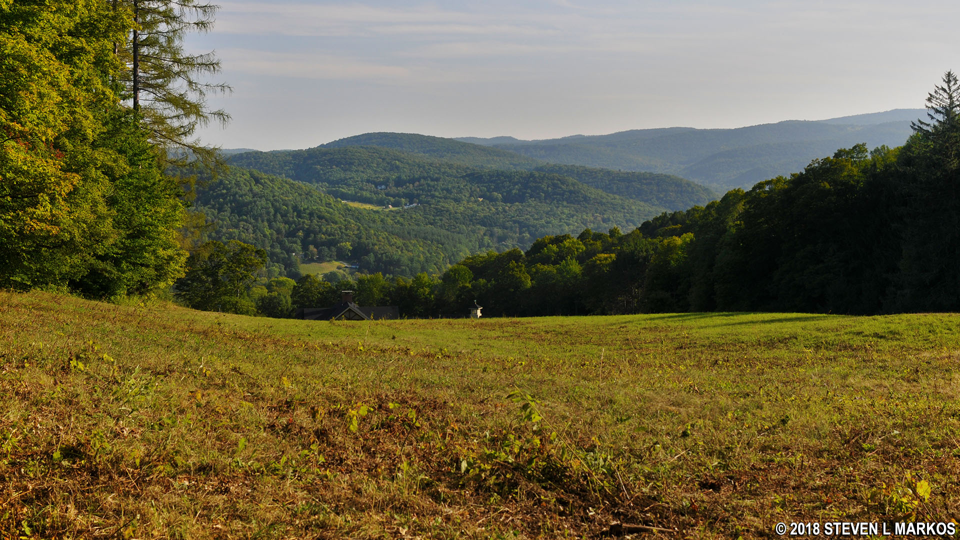
There is an excellent view towards Woodstock at 1.25 miles into the hike, but this is not the summit of South Peak.
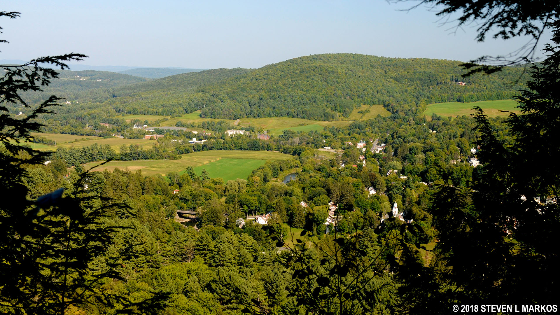
View towards Woodstock, Vermont, from Precipice Trail in Billings Park
The actual South Peak (elevation 1,250 feet) is just a few minutes farther ahead where the Precipice Trail merges with Mount Tom Road, a carriage road that circles the summit. The views on the south side of the loop are of Woodstock and are similar to what you saw moments earlier. The view on the north side is of the mountains, which isn’t all that interesting unless you visit when the leaves are changing color in the fall.
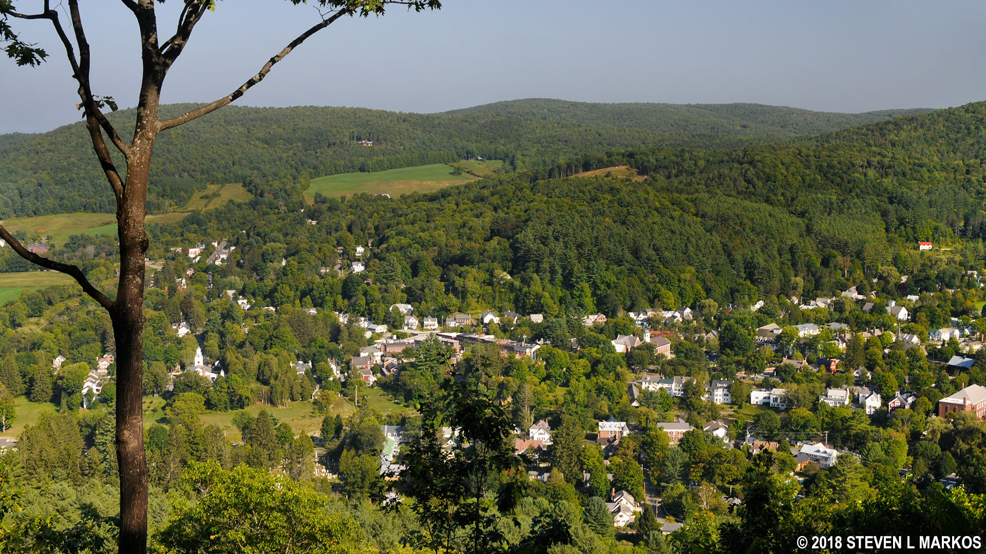
View of Woodstock, Vermont, from the South Peak of Mount Tom in Billings Park
MOUNT TOM ROAD and BILLINGS TRAIL
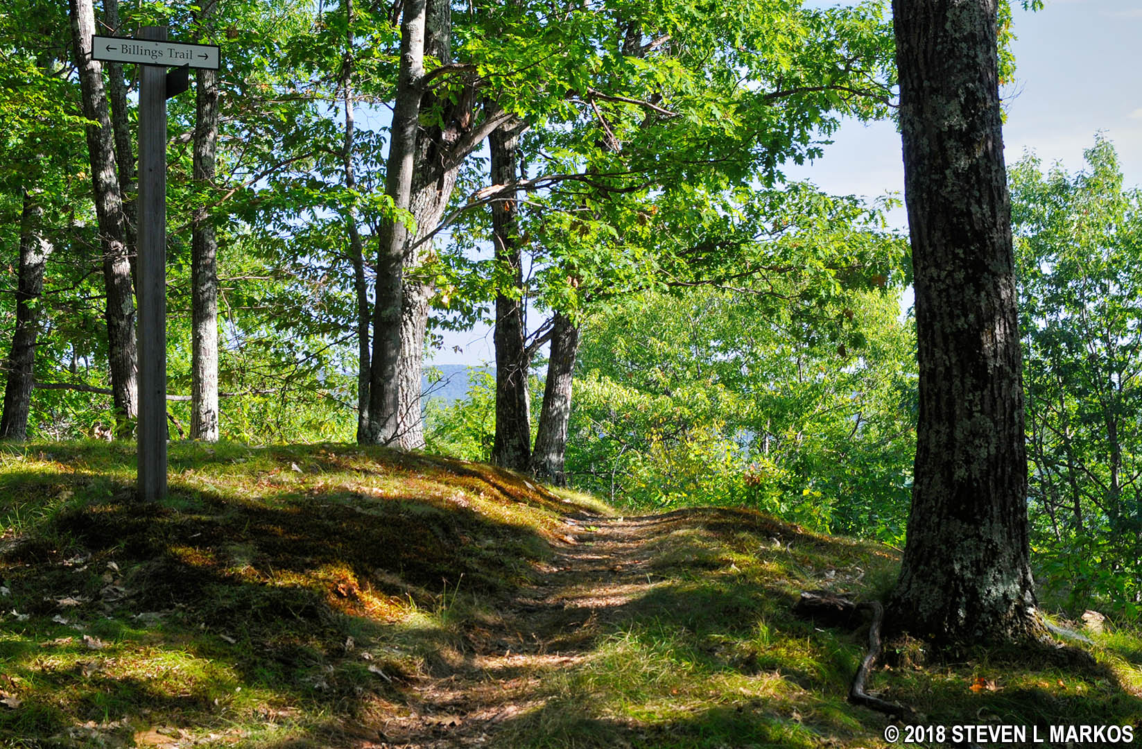
To continue the hike, take Mount Tom Road down the mountain for about a quarter mile to the intersection with an unnamed hiking trail located on the right side. This is a connector that intersects with the Billings Trail midway on its ascent to the top of the North Peak. The Billings Trail has a western terminus farther down Mount Tom Road, and of course the eastern terminus is near the start of the Precipice Trail.
Mount Tom Road in Billings Park, Woodstock, Vermont

Intersection of Mount Tom Road and a connector to the Billings Trail, Billings Park, Woodstock, Vermont
The hike to the North Peak has an average grade of 11.5% and lasts .2 mile. However, the grade of the unnamed connector averages 20%, which is extremely steep. Once it merges into the Billings Trail it levels out a little, averaging only a 5% grade.
Steep terrain along the Billings Trail connector, Billings Park, Woodstock, Vermont
Despite the summit of the North Peak being at an altitude of 1,359 feet, a hundred feet higher than the South Peak, there are no views due to the trees and other brush.
Summit area of the North Peak on Mount Tom in Billings Park, Woodstock, Vermont
Once at the summit you will have hiked 1.75 miles. Continue on the Billings Trail, heading downhill after the summit for a tenth of a mile to the intersection with the North Peak Trail. The trail map makes it look as though you must take a left turn, but in reality you continue fairly straight—the turn is actually needed to stay on the Billings Trail. Regardless, the intersection is marked with a sign.
NORTH PEAK TRAIL
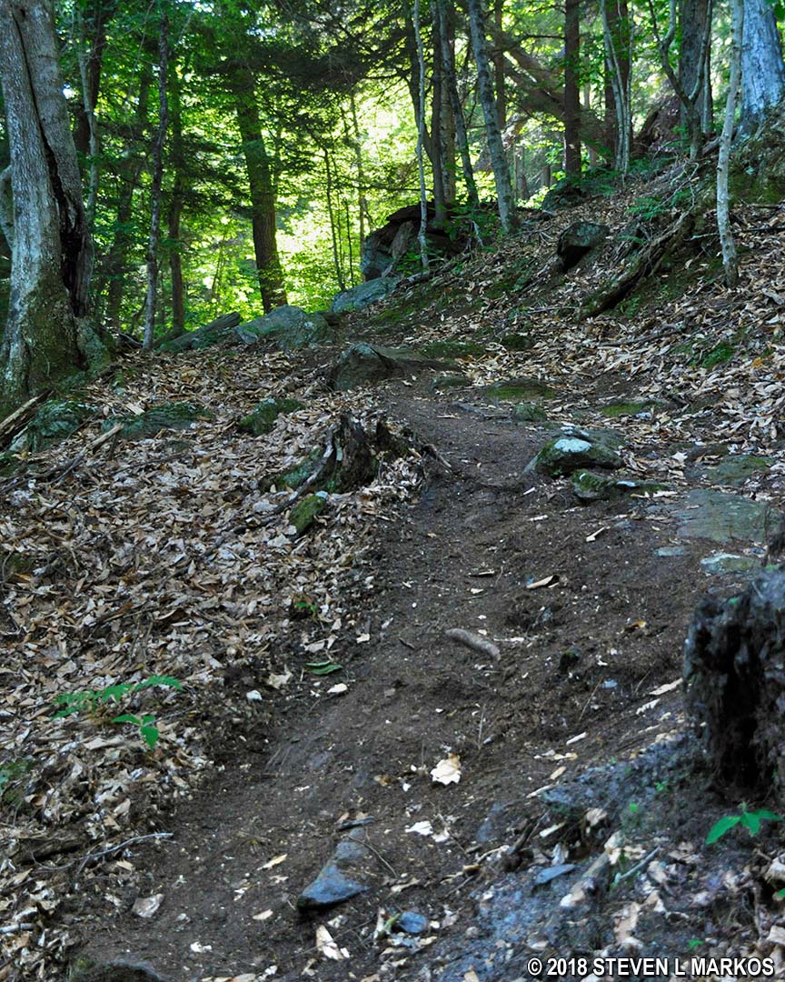
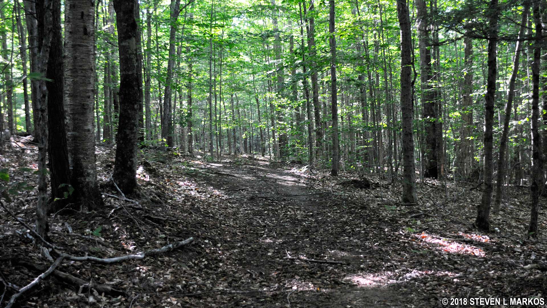
The North Peak Trail traverses three small hills over the course of its first tenth of a mile, so it’s like hiking along kiddy rollercoaster tracks. However, after that the trail runs along another ridge for .3 mile while working its way down a moderate hill. Though not as extreme as the Precipice Trail, the surface has a decent amount of rocks and roots that you can trip over if you aren’t paying attention.

Terrain along the North Peak Trail in Billings Park, Woodstock, Vermont
ONE LESS TRAVELED TRAIL
The North Peak Trail makes a very sharp right towards the bottom of the hill, then intersects with the One Less Traveled Trail only a few yards farther down. If you take a right, for a short stretch the North Peak and One Less Traveled trails are the same. However, take a left and head towards French Lot, a field that has been around since Billings Farm was established.
The One Less Traveled Trail is marked with a blue square to indicate that it is a moderate hike. On the map it is shown as a cross-country ski and snowshoe trail, which means that it is wide like a carriage road but still earthen and a little rough like a hiking trail.
Typical terrain on the One Less Traveled Trail in Marsh-Billings-Rockefeller National Historical Park
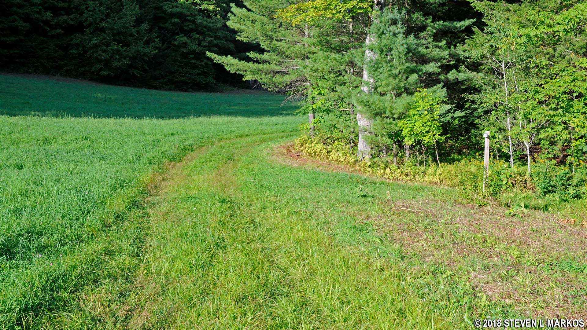
The first .2 mile of the One Less Traveled Trail runs slightly downhill, but after that it begins a moderate climb towards French Lot where it connects back with Mount Tom Road. The total distance hiked along the trail is .4 mile. When you reach French Lot you will have hiked 2.5 miles overall.
End of the One Less Traveled Trail at French Lot and Mount Tom Road in Marsh-Billings-Rockefeller National Historical Park
MOUNT TOM and SUMMER PASTURE ROADS
While the hike continues by taking a right on the carriage road, if you take a short detour to the left you will come to a nice view of the mountains.
View of the mountains from Mount Tom Road near French Lot, Marsh-Billings-Rockefeller National Historical Park
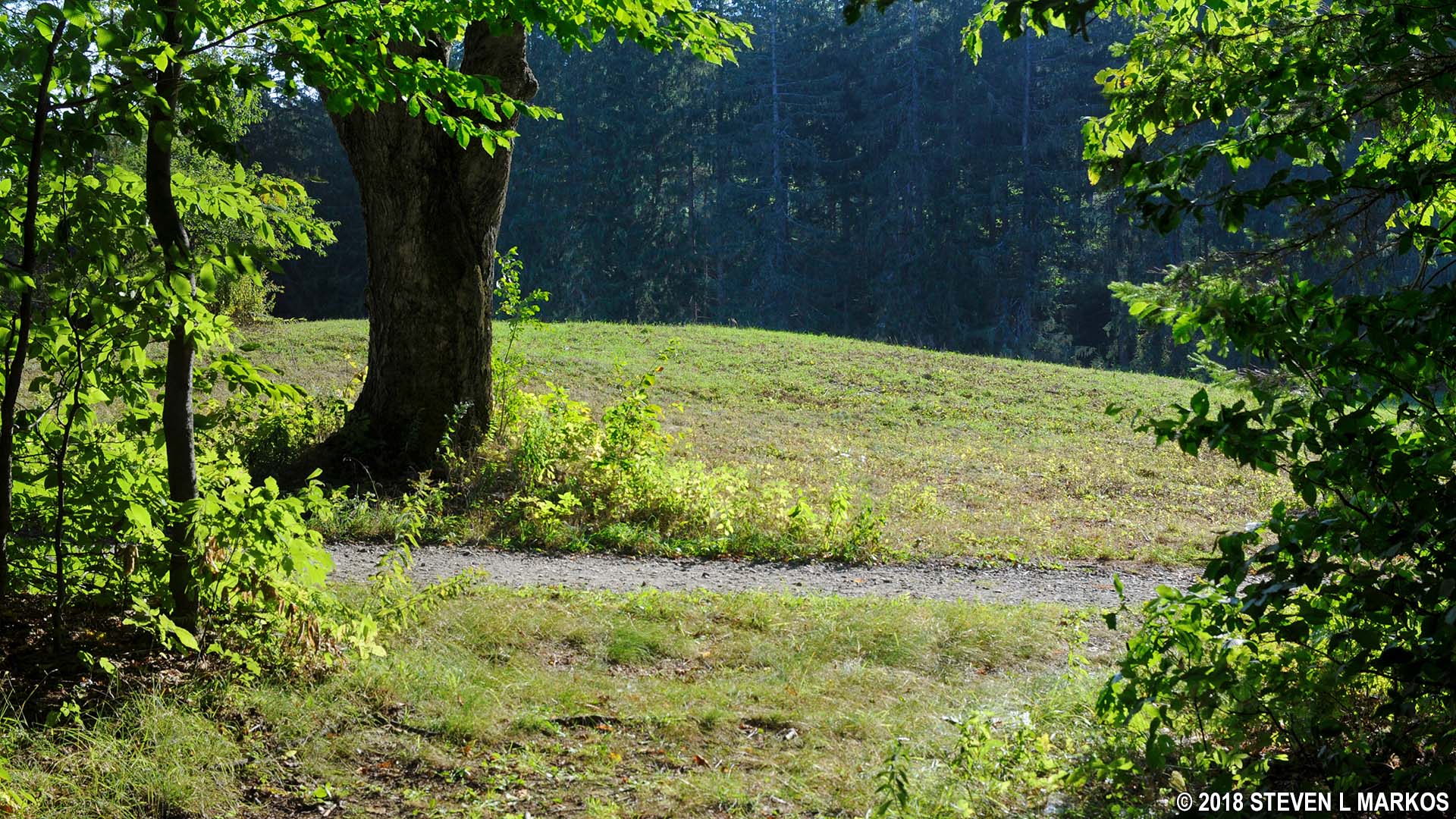
Take Mount Tom Road towards The Pogue. The road descends down a slight hill and passes the intersection with the Red Pine Loop Trail. Soon afterwards it is flanked on both sides by open fields, the Maple Lot and the Elm Lot.
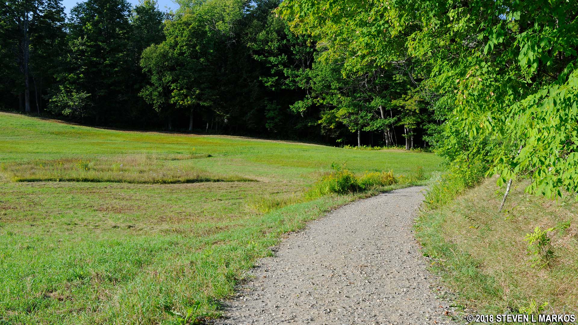
Open field along Mount Tom Road near The Pogue, Marsh-Billings-Rockefeller National Historical Park
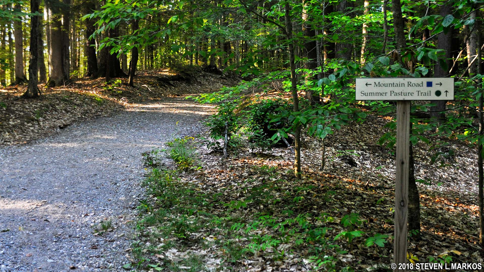
Mount Tom Road ends at the intersection with Mountain Road, though the road continues on the other side under the name—per the trail map—Summer Pasture Road. The identification sign, however, calls it Summer Pasture Trail. Part of it is similar to the ski trails, and other parts are gravel like a carriage road. It is definitely not what is considered a hiking trail.
Typical terrain of Summer Pasture Trail in Marsh-Billings-Rockefeller National Historical Park
If you want to hike the loop trail around The Pogue, take a left on Mountain Road. I, however, planned to do this on my West Side Hike, and therefore crossed Mountain Road onto Summer Pasture Trail.
Intersection of Mountain Road, Mount Tom Road, and Summer Pasture Trail in Marsh-Billings-Rockefeller National Historical Park
At this point you will have hiked nearly three miles. If you are tired, take comfort in knowing that the rest of the hike is pretty easy, traversing only a few small hills. You can actually hike back exclusively on the carriage roads, but I opted to hop onto one more hiking trail along the way. Thus, continue on Summer Pasteur Road until coming to the intersection with the Spring Lot Trail .4 mile ahead. Depending on the vegetation, you should get a glimpse of the eastern side of The Pogue along the way.
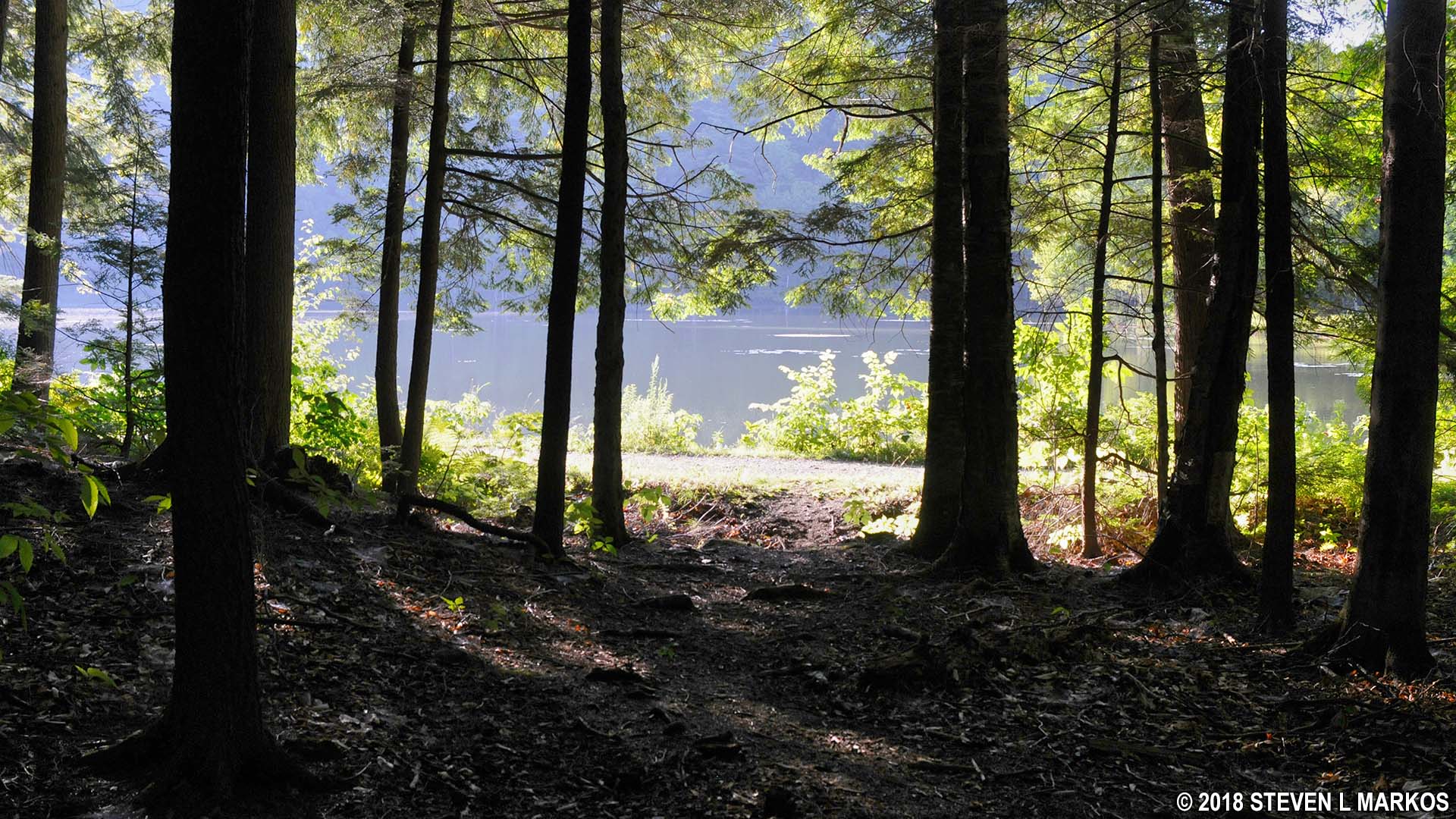
View of The Pogue from Summer Pasture Road in Marsh-Billings-Rockefeller National Historical Park
The first intersection after passing the pond is that with the North Ridge Loop carriage road. This is a triangular intersection, so there is an initial turn to the left and then another one just fifty yards farther down the road. I point this out because the intersection with the Spring Lot Trail is not marked—at least not at the intersection—and when I say to take the first left past North Ridge Loop, I don’t mean the second left at the triangle. The turnoff for the Spring Lot Trail is another .2 mile away. There is a sign, but it is located a short ways down trail, not at the intersection, which makes no sense.
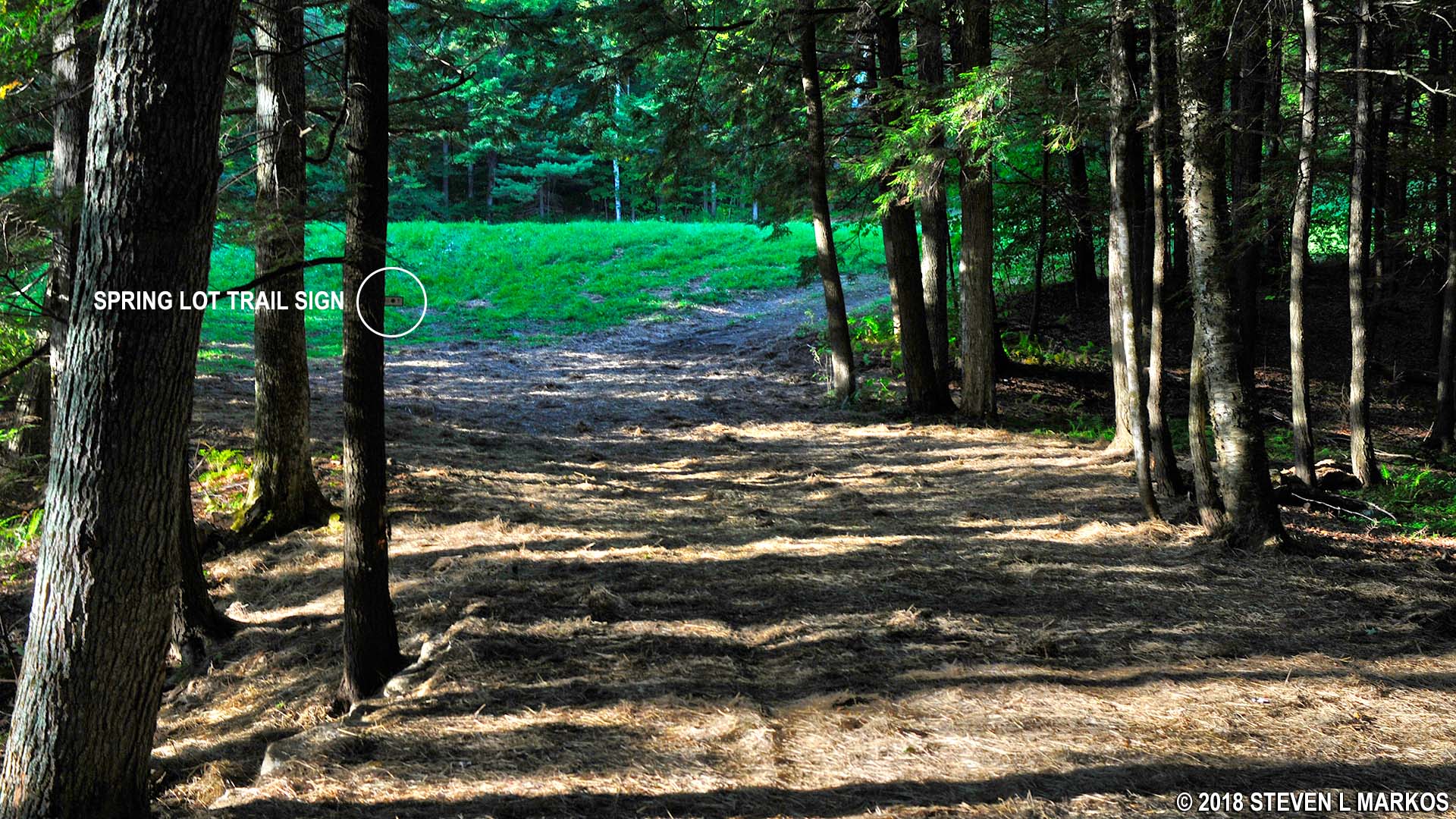
Intersection with Summer Pasture Road and Spring Lot Trail, Marsh-Billings-Rockefeller National Historical Park
SPRING LOT TRAIL
Take the Spring Lot Trail, another ski-type trail, for just a few minutes to the intersection with the Pogue Brook Trail. This intersection is identified by a sign.
Spring Lot Trail passes Spring Lot, Marsh-Billings-Rockefeller National Historical Park
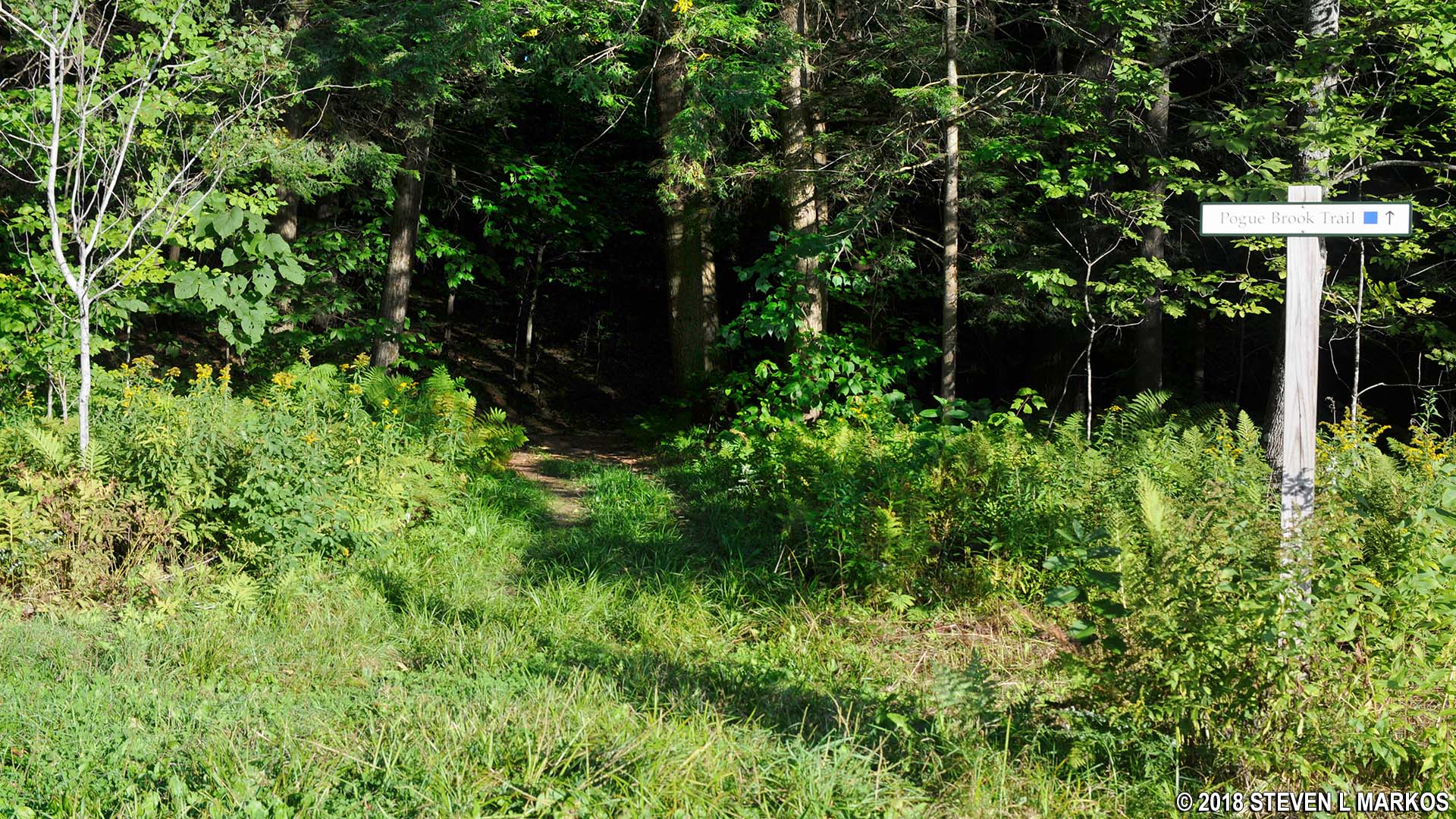
Intersection of the Spring Lot and Pogue Brook Trails in Marsh-Billings-Rockefeller National Historical Park
POGUE BROOK TRAIL
Pogue Brook Trail is a blue square trail (moderate), but in this direction you are hiking it downhill. The first tenth of a mile definitely fits the description, having a 10% grade, but the rest of the trail is flat. The first half follows Pogue Brook, which is located at the bottom of a shallow ravine just to the right of the trail.
Typical terrain at the western end of the Pogue Brook Trail in Marsh-Billings-Rockefeller National Historical Park
MOUNTAIN ROAD
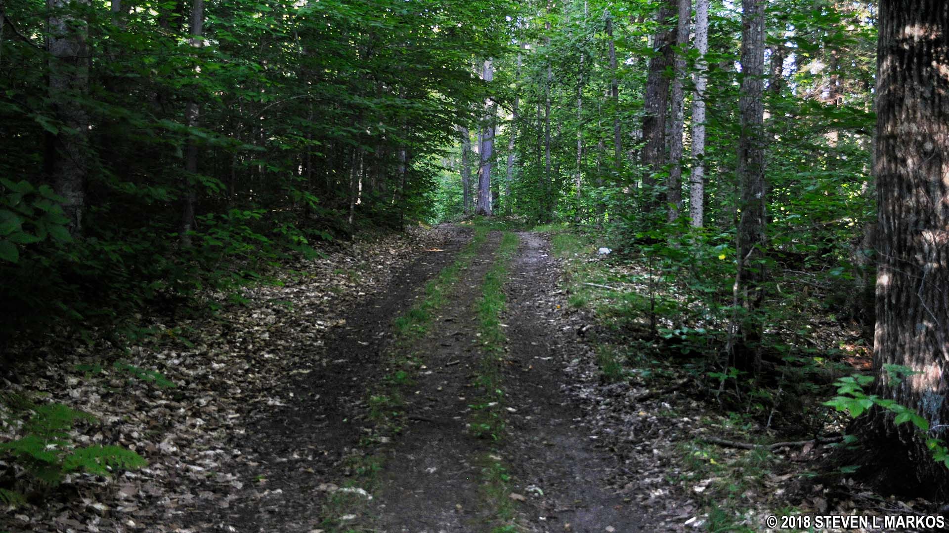
Pogue Brook Trail dead ends into Mountain Road—take a left—and from there it is a little over a half-mile back to the park entrance. The final leg is downhill all the way. The only thing to be aware of is that the road forks three times, so stay to the left on all occasions.
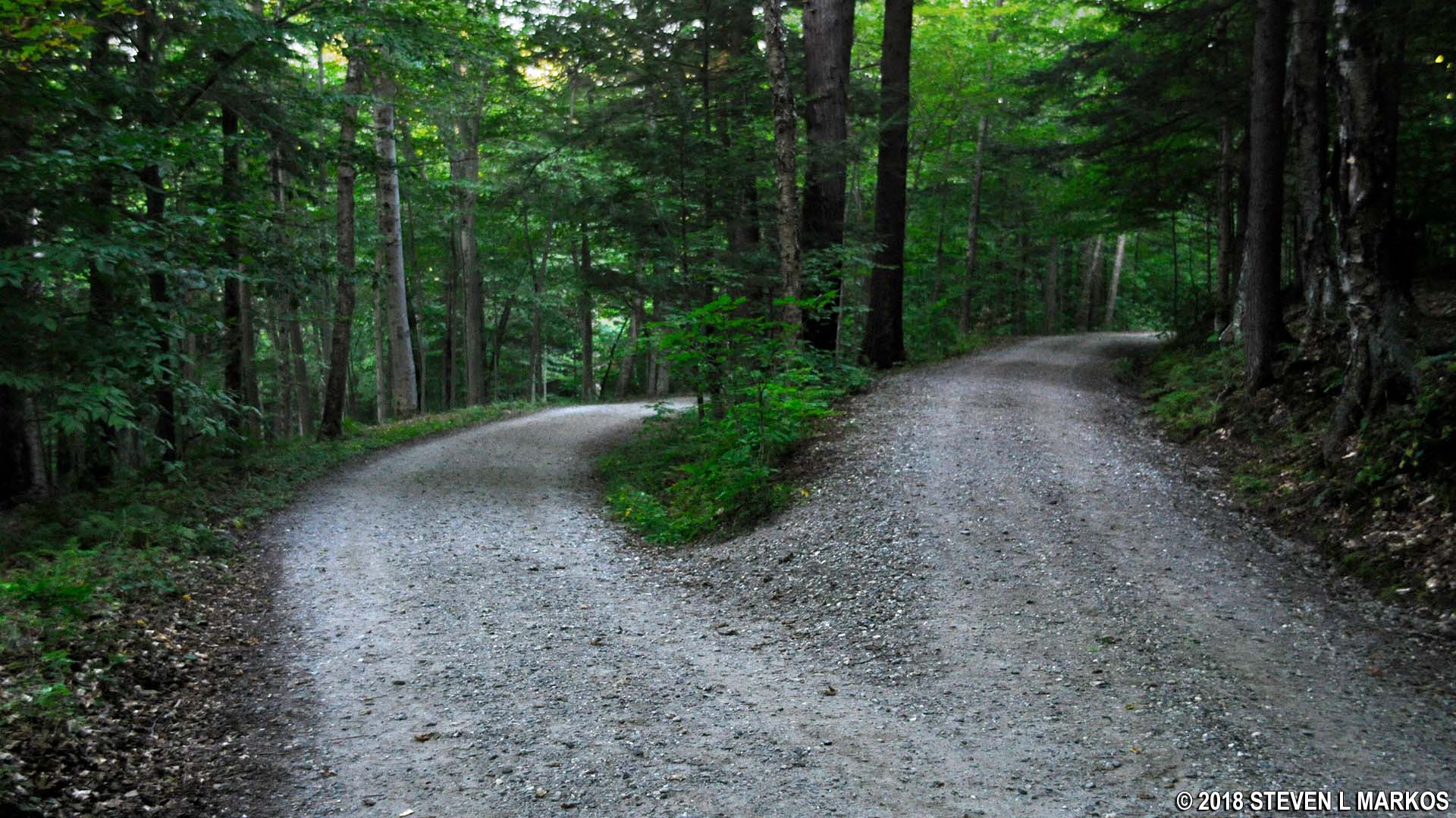
First of three forks along Mountain Road when hiking east back to the entrance of Marsh-Billings-Rockefeller National Historical Park
With a few exceptions, use of any photograph on the National Park Planner website requires a paid Royalty Free Editorial Use License or Commercial Use License. See the Photo Usage page for details.
Last updated on December 16, 2025


