
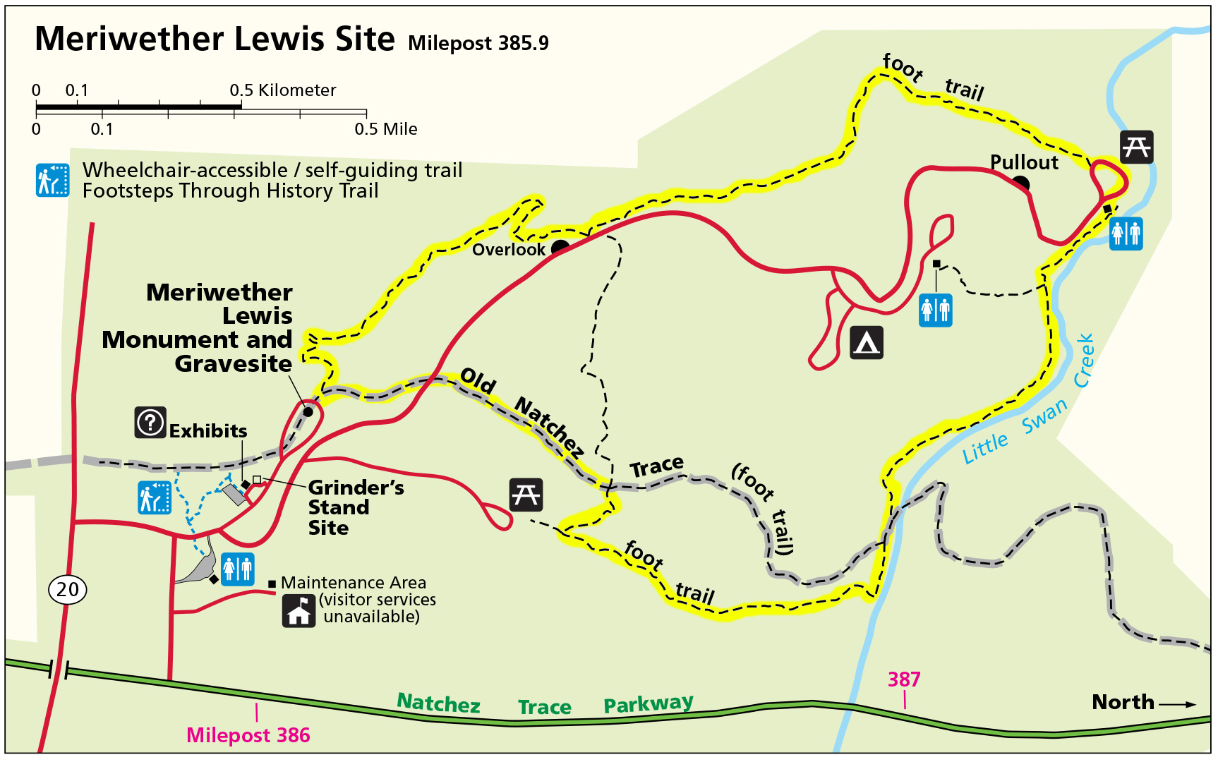
Meriwether Lewis Site Loop Trail map (click to enlarge)

Meriwether Lewis Site Hiking Trails
Length: 4-mile loop
Time: 2.5 hours
Difficulty: Moderate to Moderately Strenuous
There are a number of hiking trails within the Meriwether Lewis Site along the Natchez Trace Parkway, and you can make a variety of configurations from them. In fact, it is here that you will find the most trail miles of any stop along the Parkway, not including trails that are part of the Natchez Trace National Scenic Trail. I have concocted a hike that uses the original Natchez Trace and forms a large loop around the park. My suggested route is by no means the only or best route. Anyone with a trail map is free to dream up their own path.
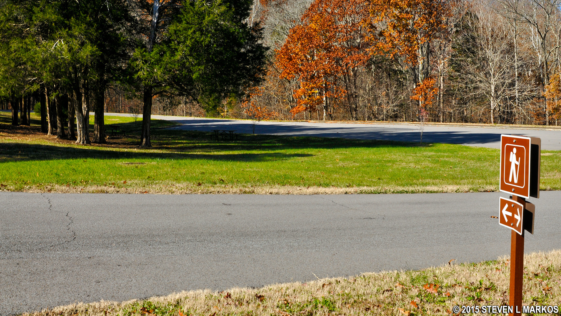
The hike starts at the Lewis grave site, but parking there is limited. You most likely will have to park at the Grinder’s Stand parking lot and walk from there; this adds about a half mile round-trip to the hike. When at the Lewis grave site, look towards the woods and you will see two trailheads, each marked with a distinct sign. You begin the hike on one trailhead and finish on the other. Since it is a loop, you can start at either trailhead, but for the record I hiked in a counterclockwise manner by taking the trail on the right, the original Natchez Trace (marked with an “Old Trace” sign).
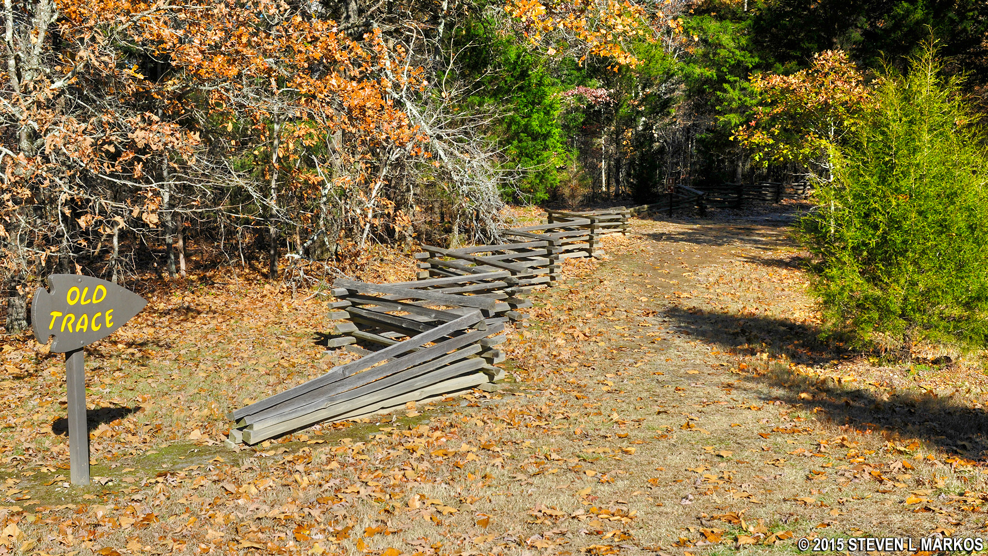
The loop hike starts off on the original Natchez Trace
After walking a half mile along the wide and smooth path of the Old Trace, the hike comes to its first intersection. The Trace continues much farther, but in an effort to hike the longest loop possible, I took a right turn and headed downhill on a traditional, narrower hiking trail. However, if you prefer to stay on the Old Trace, you will end up at the same place as my hike: Little Swan Creek. You won’t hurt my feelings if you choose to do so, and in retrospect, I wish I had stayed on the Trace for as long as possible simply for historical purposes.
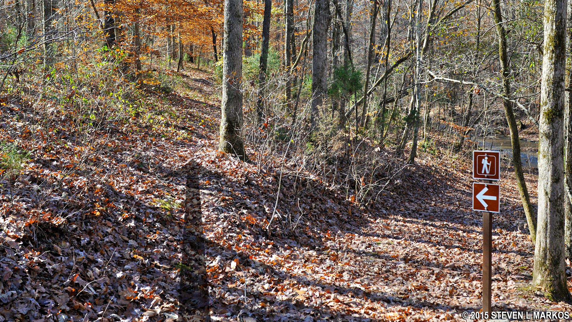
Once you get off of the Trace the hike becomes moderately strenuous and oftentimes challenging. The initial downhill stretch lasts for a tenth of a mile and dead-ends into a T-intersection. A right turn takes you to a picnic area located at the end of Monument Road. We aren’t here for a picnic, so turn left and head towards Little Swan Creek, which is another half mile down the trail. You will first come to a narrow stream that runs into Little Swan Creek, and you will often find yourself walking in the creek bed. Small rocks make the hike akin to walking on rubble, so be careful not to twist an ankle.
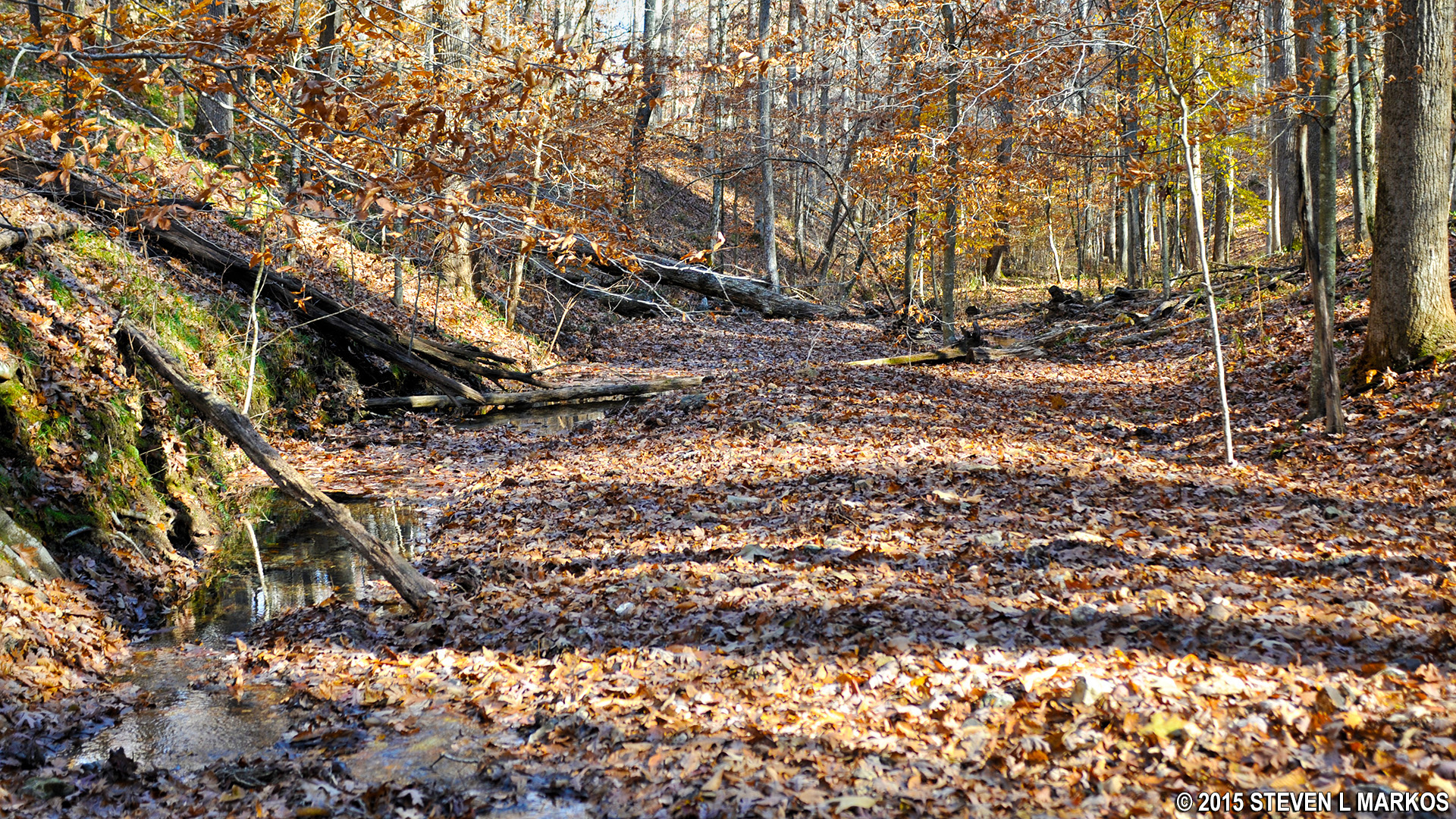
The trail often follows directly on the creek bed
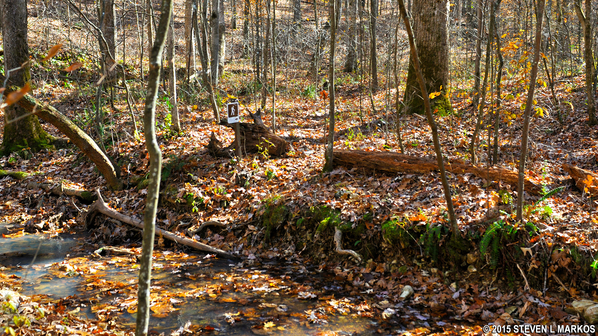
The trail eventually crosses this stream, but soon afterwards it all but disappears. I nearly turned around at one point after Lewis-and-Clarking-It™ through the woods along the bank. However, the destination is Little Swan Creek and this stream is definitely flowing into it, so if you ever lose sight of the trail, simply follow the steam. Sure enough, the trail reappears and signs mark the way once again.
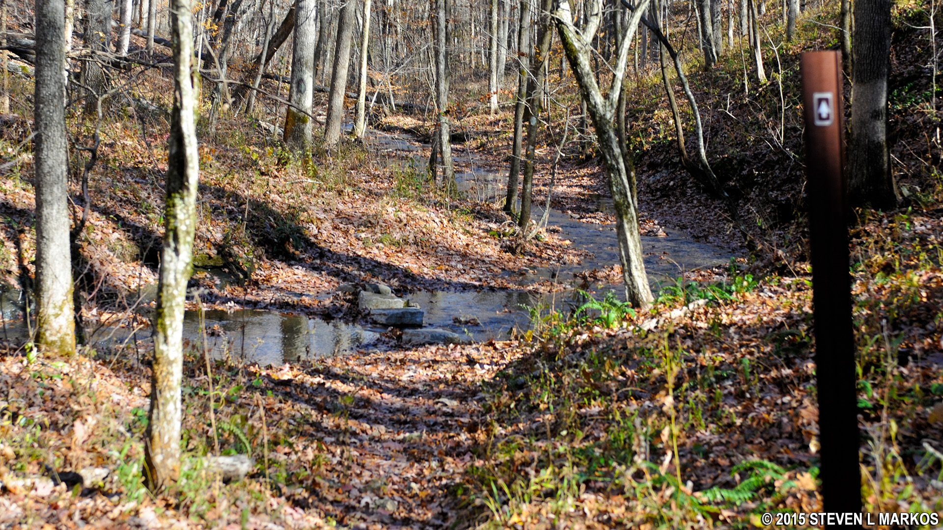
Stream crossing
The trail actually weaves back and forth across the stream a number of times. If it has been raining and the water level is up, you may find yourself with soaked shoes, so be sure to wear waterproof hiking boots if you have them. My boots were submerged more than once, but never to the point where the water spilled over the tops of the boots and poured into the interior. Being waterproof, I had nothing to be worried about, but tennis shoes would have been soaked.
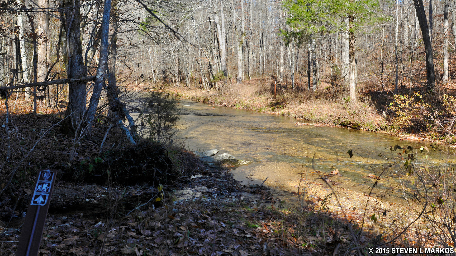
You will come to Little Swan Creek at the 1.2-mile point on the hike. Take a left to continue towards the next destination, the Little Swan Creek Picnic Area a mile farther down the trail.
Little Swan Creek
Not long after starting the hike along the creek, the trail forks. A trail sign directs you to take a right, a route that requires a creek crossing. You can actually see another trail sign on the opposite bank, which appears to confirm the necessity of the crossing. However, this is the route of the Old Trace, not my hike (how you cross the creek without taking off your shoes and rolling up your pant legs is beyond me). My hike does not cross Little Swan Creek at any point, so just ignore the sign and stay straight on the trail, keeping the creek to your right.
Trail sign points the Old Trace route
The next obstacle you will encounter is another feeder stream. Somehow you need to get across it, so find a spot with low water or stepping stones. Once across, the trail begins a strenuously steep climb out of the Little Swan Creek valley. It’s so steep that I almost fell over backwards! This is what I call “tippy toe hiking” because you must push off with your tippy toes to move forward. Luckily the climb is short, only taking about a minute.
Steep climb out of the valley of Little Swan Creek
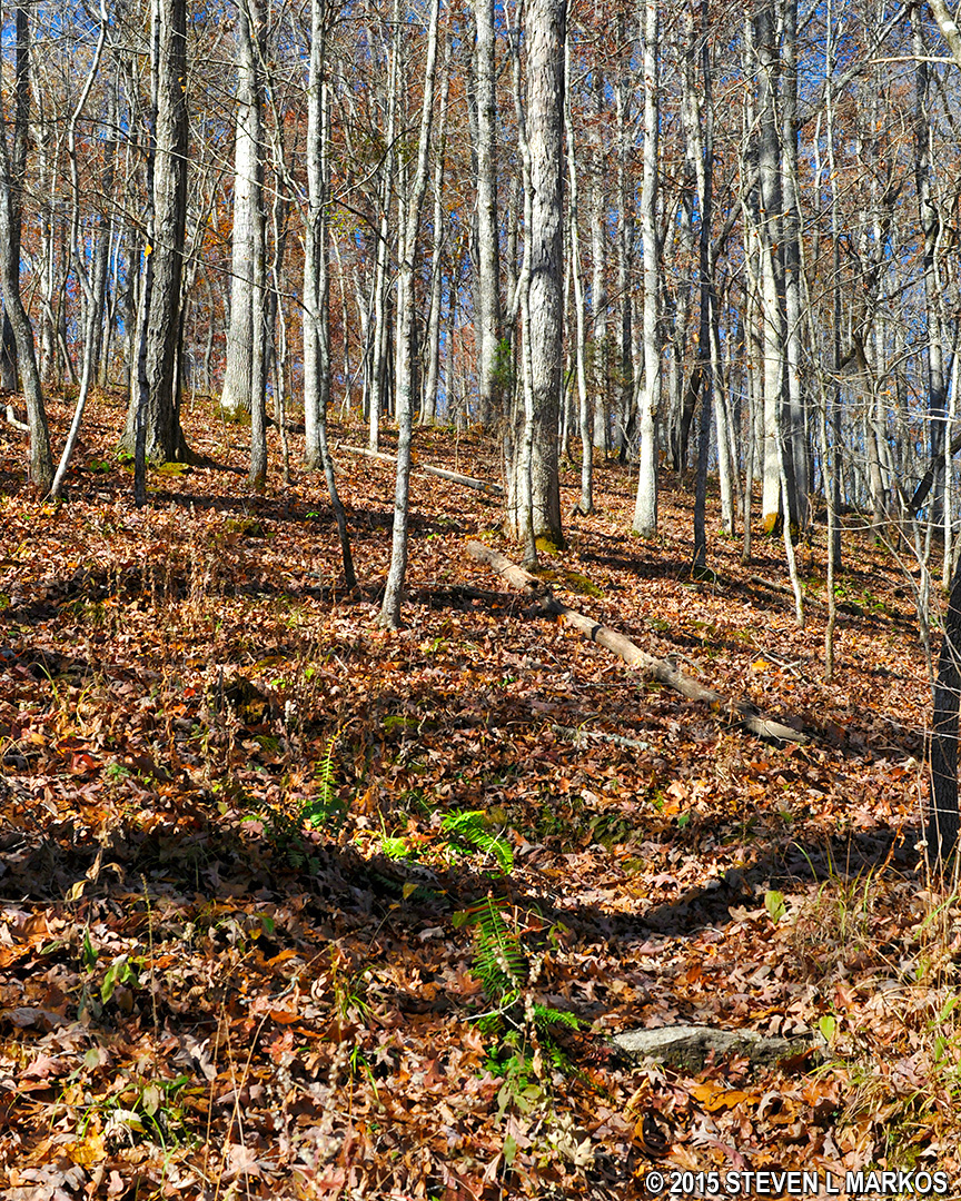
When you finally get to the top of the hill you will find yourself on a ridge high above the creek. What you won’t find is a trail, for it once again disappears into thin air. Just remember, when all else fails, follow the creek.
High above Little Swan Creek
As you make your way towards the picnic area you must cross more streams, each flowing at the bottom of a ravine. The pattern is the same for all of them: hike straight down the hill, cross the stream, and then hike straight back up. The terrain is rough and the hills are steep. However, as you progress the ravines become smaller and the streams become narrower, some to the point that you can jump across them. By the 1.75-mile mark on the hike you will have made your way down from the high ridge and will once again be hiking level with Little Swan Creek. Of course this doesn’t last long, and no sooner are you enjoying the easy hiking than you must make your way back up to the top of another steep hill.
Once you reach the apex of this second hill you will find yourself at another intersection. Keep straight to get to the picnic area (a left takes you to the Meriwether Lewis Campground). You will once again find yourself faced with steep ravines and feeder streams, the last of which is so deep that a bridge has been built across it. If you were to fall you would most likely be killed. The only good thing I can say about these climbs is that while steep, they are short. If you had a bike you could ride downhill and pick up enough momentum to make it up the other side.
At two miles into the hike is the Little Swan Creek Picnic Area. Along with picnic tables and grills is a restroom and water fountain. The park road ends in a loop, and the hiking trail continues into the forest on the opposite side from where you came out. Follow the road around the picnic area to get back on the trail.
Little Swan Creek Picnic Area
The trail splits not long after reentering the forest. If you continue straight, you will end up back at Little Swan Creek, which is fine if you want to see it again. Otherwise, take a left to return back to the Lewis grave site. Trail signs point the way. Unlike the first half of the hike, the return trail is much easier to follow and never fades from sight.
Take a left at the first intersection once reentering the forest
As you leave Little Swan Creek—this time for good—you begin another uphill climb out of the valley, rising over 200 feet in a one-mile span. The ascent is done in two stages. The first of the hills lasts about a quarter mile, at which point you get a quarter mile reprieve along flat terrain. The larger of the two hills comes next, a moderately strenuous incline that covers another third of a mile. Finally, at the three-mile point on the hike the trail levels out for a short stretch along a ridge that follows closely to the park road. It is here that you will come to one last intersection, which is nothing more than a connector trail to the road that allows people to park near this spot and access the trail. You want to keep straight.
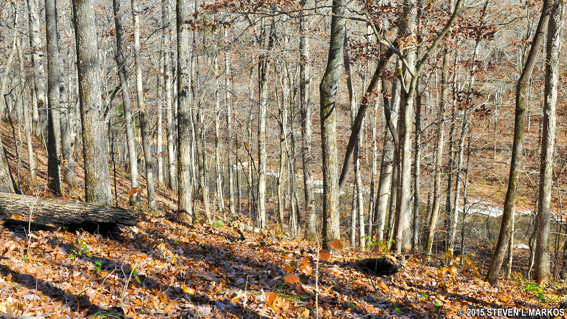
The trail soon veers from the road and once again begins to work its way downhill towards another creek, this time via a series of switchbacks (on the trail map this is the point near the Overlook where the trails cuts nearly straight back and away from the Lewis grave site). At the 3.3-mile mark you will reach the creek. You can see that the trail continues on the opposite bank, but it is impossible to cross the creek at this point for it is too wide and deep and there are no stepping stones. To solve this problem, follow the creek upstream until you can find a shallower and narrower point. Once across, walk back downstream to reconnect with the trail.
The creek is much too wide and deep to cross
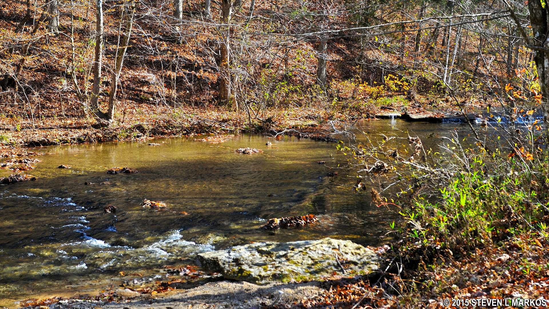
No sooner have you crossed this creek than you come to a second. The circumstances are similar—you’ll need to figure a way across on your own because the creek is too wide and deep at this point.
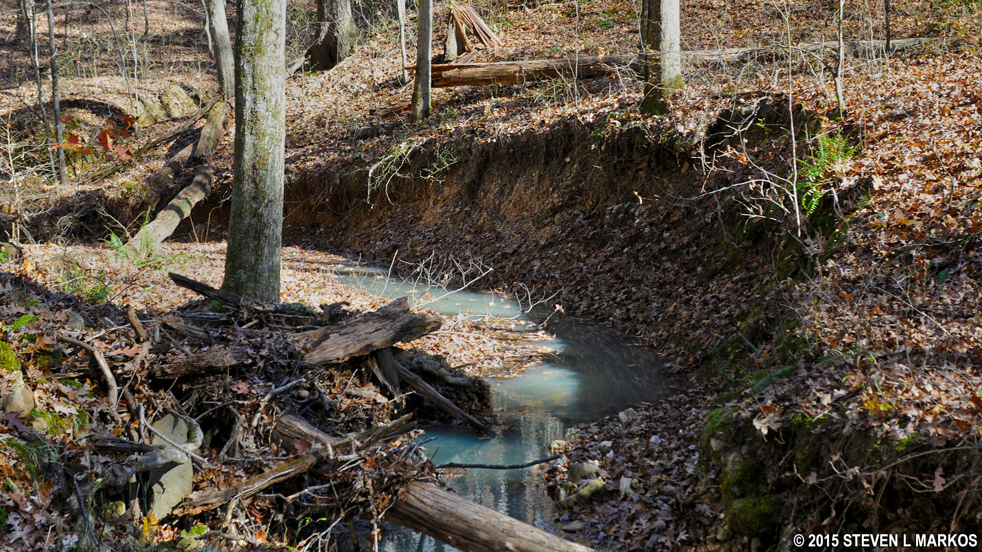
Milky colored water adds to the beauty of the small creek
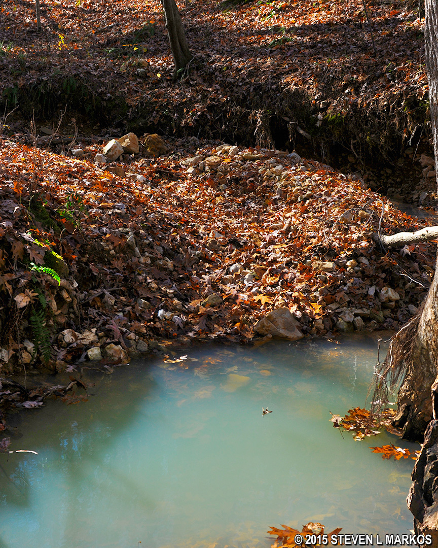
A deep pool requires you to cross at another location
At the 3.8 mile point the trail begins its final climb out of the valley. Only a quarter mile remains on the hike. On the trail map this is marked by a zig-zaggy section right before the finish at the Lewis grave. The zig-zags represent much welcomed switchbacks that make the steep climb a little easier than a straight, but shorter route. Once you reach the top, the end of the hike is just a short ways further. Of course you may have to walk back to Grinder’s Stand if that’s where you parked.
The hike took me about 2.5 hours, but I’m a slow walker and I stop to take many photos, so most people can complete the hike it in about 2 hours. I set off on the hike not expecting anything more than an easy trek based on the start along the Natchez Trace. Don’t let that fool you. This is a serious hiking trail for those who like a challenge. It is without a doubt the most difficult trail along the Natchez Trace Parkway.
The trail finally returns to the Lewis grave site
With a few exceptions, use of any photograph on the National Park Planner website requires a paid Royalty Free Editorial Use License or Commercial Use License. See the Photo Usage page for details.
Last updated on December 14, 2021


