

Footsteps Through History Trail map (click to enlarge)
Meriwether Lewis Site Hiking Trails
Length: 1-mile loop with trip to Meriwether Lewis grave
Time: 45 minutes
Difficulty: Easy
The Footsteps Through History Trail is an interpretive trail on the Natchez Trace Parkway with information panels about the different types of travelers who used the Natchez Trace. A loop can be formed by combining this trail with a short segment of the original Trace, a section on which Meriwether Lewis most likely traveled on his way to Grinder’s Stand. He spent his last night alive at the stand, dying of gunshot wounds in the early morning of October 11, 1809. Whether it was suicide or murder, nobody can say for sure due to the limited forensic knowledge at the time, but the general consensus today is that it was suicide.
Parking for the trail is at the first parking lot you come to when entering the Meriwether Lewis Site from the Natchez Trace Parkway (take the second right once entering the park). The trailhead is clearly identified by a colorful information panel and a Meriwether Lewis Exploring America compass embedded in the trail path. The compass gives mileage to the many places Lewis explored during his life. There is a restroom facility here as well.
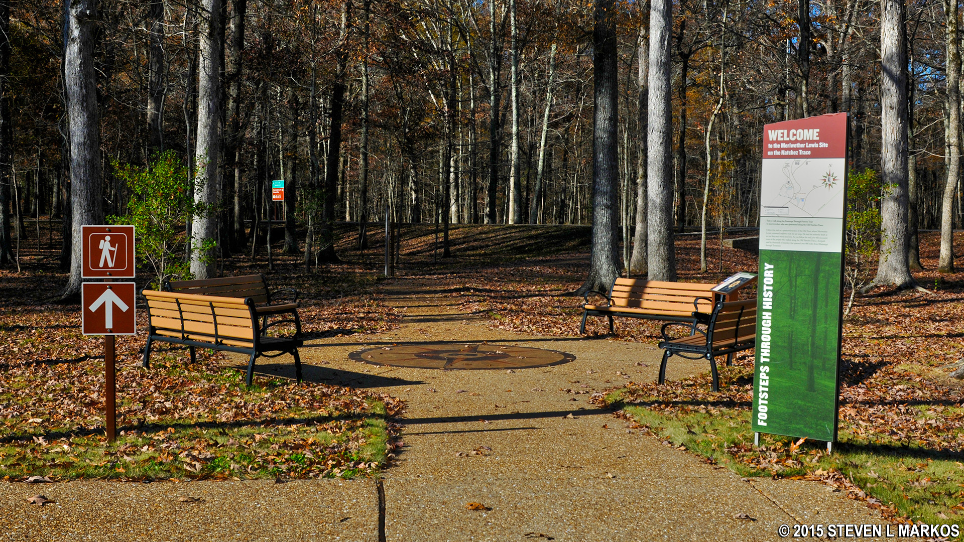
Start of the Footsteps Through History Trail
The trail begins along a paved path and crosses the park road before dead-ending into a dirt trail, which is the original Natchez Trace (.25-mile from the start). Along the way are life-sized cutouts of typical travelers who used the Trace, plus information about them. The Trace was used by Indians long before European settlers arrived, and once trade along the Mississippi River began in the late 1700s, it became the main land route from Nashville to Natchez. Before steam power, anyone bringing goods by boat down the Mississippi had to walk back because it was impossible to travel upriver by boat due to the current. The hike from Natchez to Nashville was about 450 miles. Fresh from being paid for the delivered goods, travelers were easy targets for thieves and murderers, and thus many traveled in groups. Because of the threat, murder cannot be ruled out as the cause of Lewis’s death.
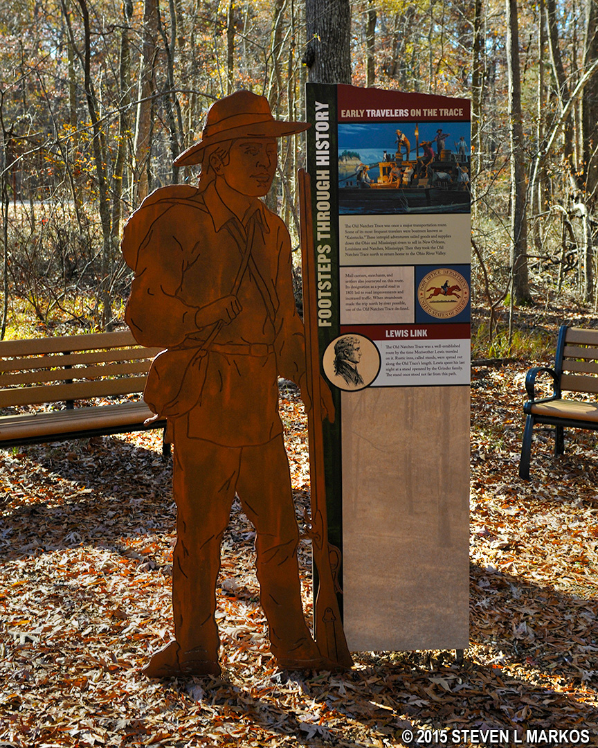
Exhibits along the Footsteps Through History Trail
Once you come to the Trace, turn right. This will set you off hiking towards Lewis’s grave. If you are not interested in walking to the grave (you can drive and park at the grave site), take the next right, which is not even a tenth of a mile down the Trace. This is the return portion of the Footsteps Through History Trail. My trail description includes the trip to the Lewis grave.
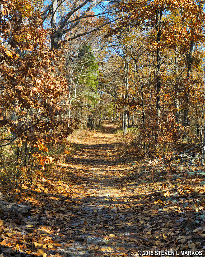
Original Natchez Trace segment
Keep walking on the Trace and in .2-mile you will come to the grave site. The Trace crosses the park road, and you can either follow the road or just cut across the field to the memorial.

Meriwether Lewis grave site on the Natchez Trace Parkway
If you are interested in hiking a longer trail, a challenging loop around the park can be hiked by continuing on the Trace past the memorial site. For more information, see the Meriwether Lewis Site Loop Trail web page.
Once done at the grave site, return back on the Natchez Trace and be on the lookout for a trail that branches off to the left. This is the second half of the loop hike. The trail is hemmed in by a rail fence that leads towards an information cabin located at the Grinder’s Stand site. Stands were the names for what we would now call “inns,” and Grinder would have been the last name of the man who owned the stand. All that remains of the original building is a few stones from the foundation.
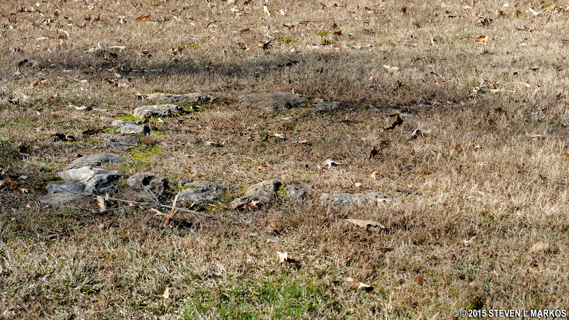
Foundation of Grinder’s Stand
The cabin at the site is a reproduction of Grinder’s Stand and serves as the Meriwether Lewis Visitor Information Center. While nobody knows what Grinder’s Stand looked like, the design is based on a typical stand at the time. Here you can get Natchez Trace Parkway information and peruse exhibits about Meriwether Lewis.

Meriwether Lewis Visitor Information Center
To return back to your car, look for a monument near the cabin parking area—the trail continues to the left of the monument. When you come to the paved trail that you first started on, turn left to get back to the parking lot.
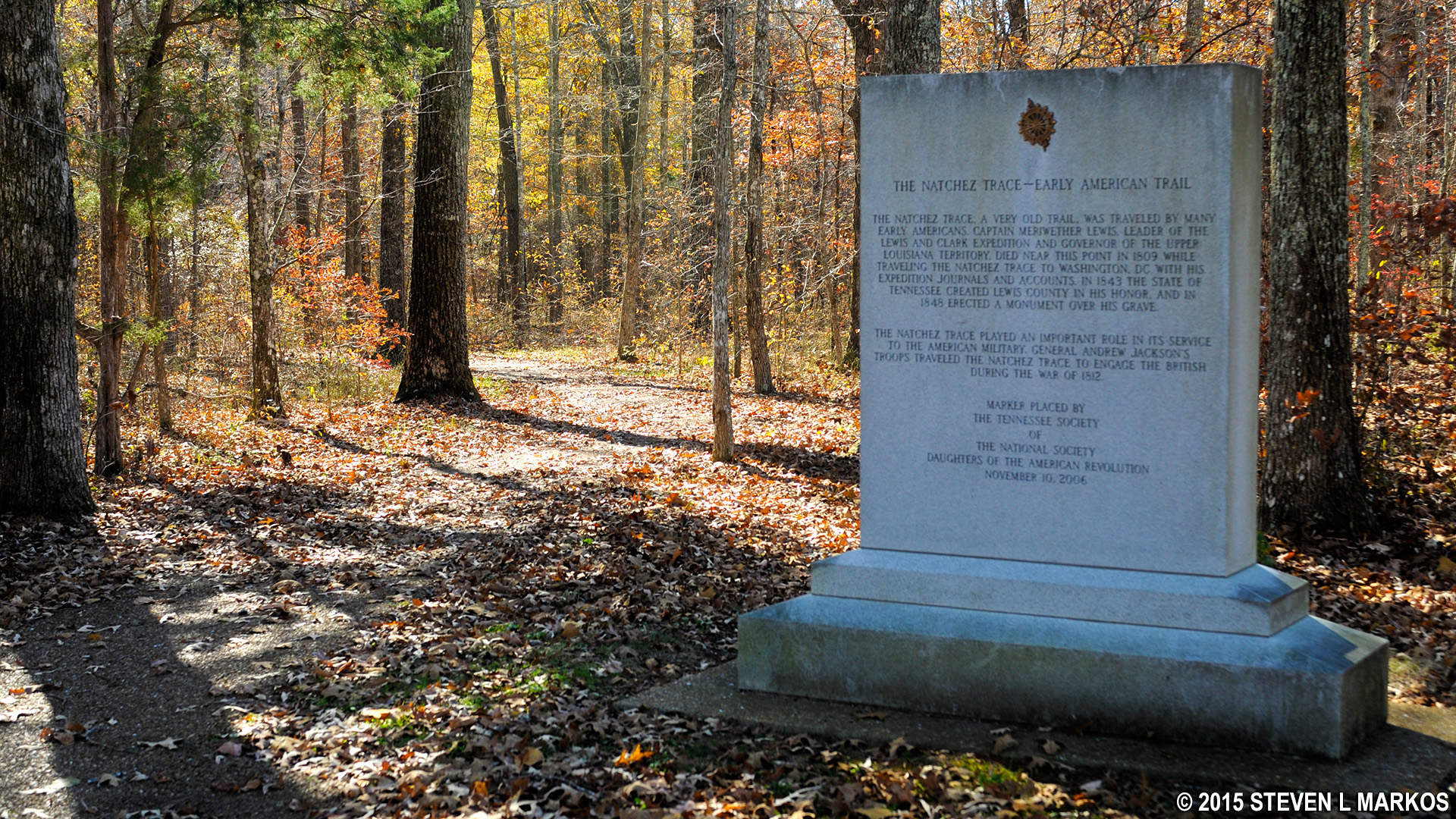
Natchez Trace Monument sits next to the trail back to the parking lot
With a few exceptions, use of any photograph on the National Park Planner website requires a paid Royalty Free Editorial Use License or Commercial Use License. See the Photo Usage page for details.
Last updated on December 14, 2021


