
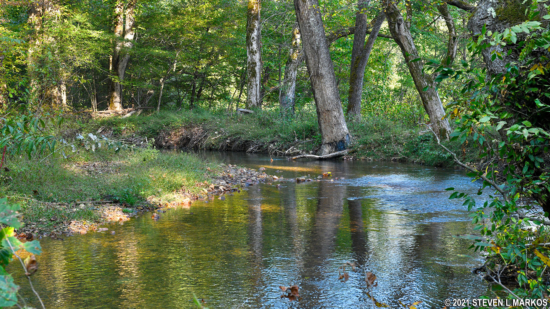
Sweetwater Branch near the Natchez Trace Parkway
Length: .5-mile round trip
Time: 20 minutes
Difficulty: Moderate hill to and from the creek but otherwise flat
A quarter-mile trail (half-mile round trip) starts at the parking area for the Sweetwater Branch stop on the Natchez Trace Parkway and follows the Sweetwater Branch (creek) for the majority of the time. Information panels about the history and environment of the area are posted along the side of the trail.
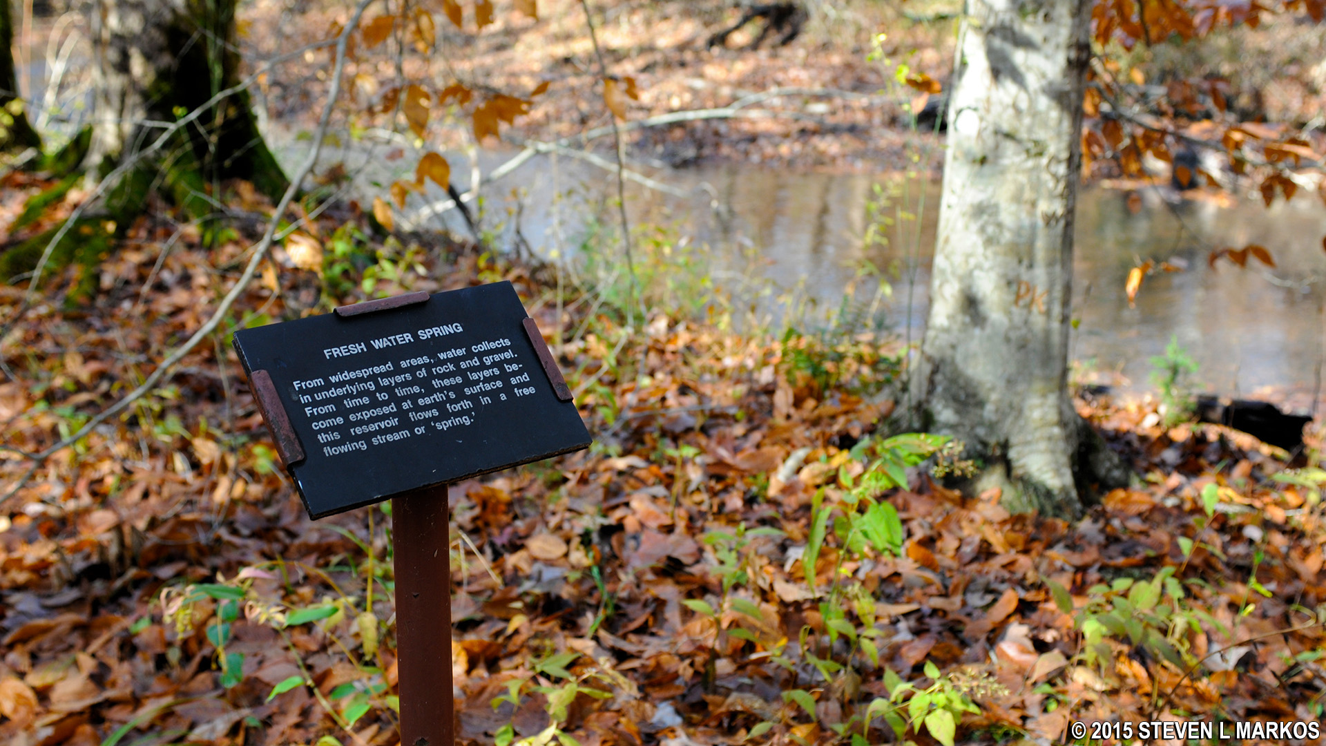
Information panels can be found along the trail
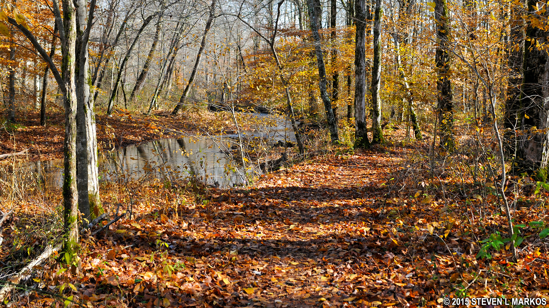
To get to and from the creek you must descend / ascend a moderate hill. There are some stairs to deal with as well. However, the moderate section is very short—no more than a half minute walk—and once at the bottom, the trail is flat and easy to hike as it follows the creek.
Nature trail follows Sweetwater Branch for most of its length
Towards the end of the hike you will pass a small cave shelter, and a few minutes later the Sweetwater Branch Nature Trail ends at a field. Turn around here and head back the way you came. There’s not much more to the hike—no unmarked intersections, no tricky turns. Just hike until you reach the field. The round trip takes about twenty minutes, but your time can be better spent doing something else. I suggest hiking this trail only if you have been driving for a long time and want a chance to stretch your legs.
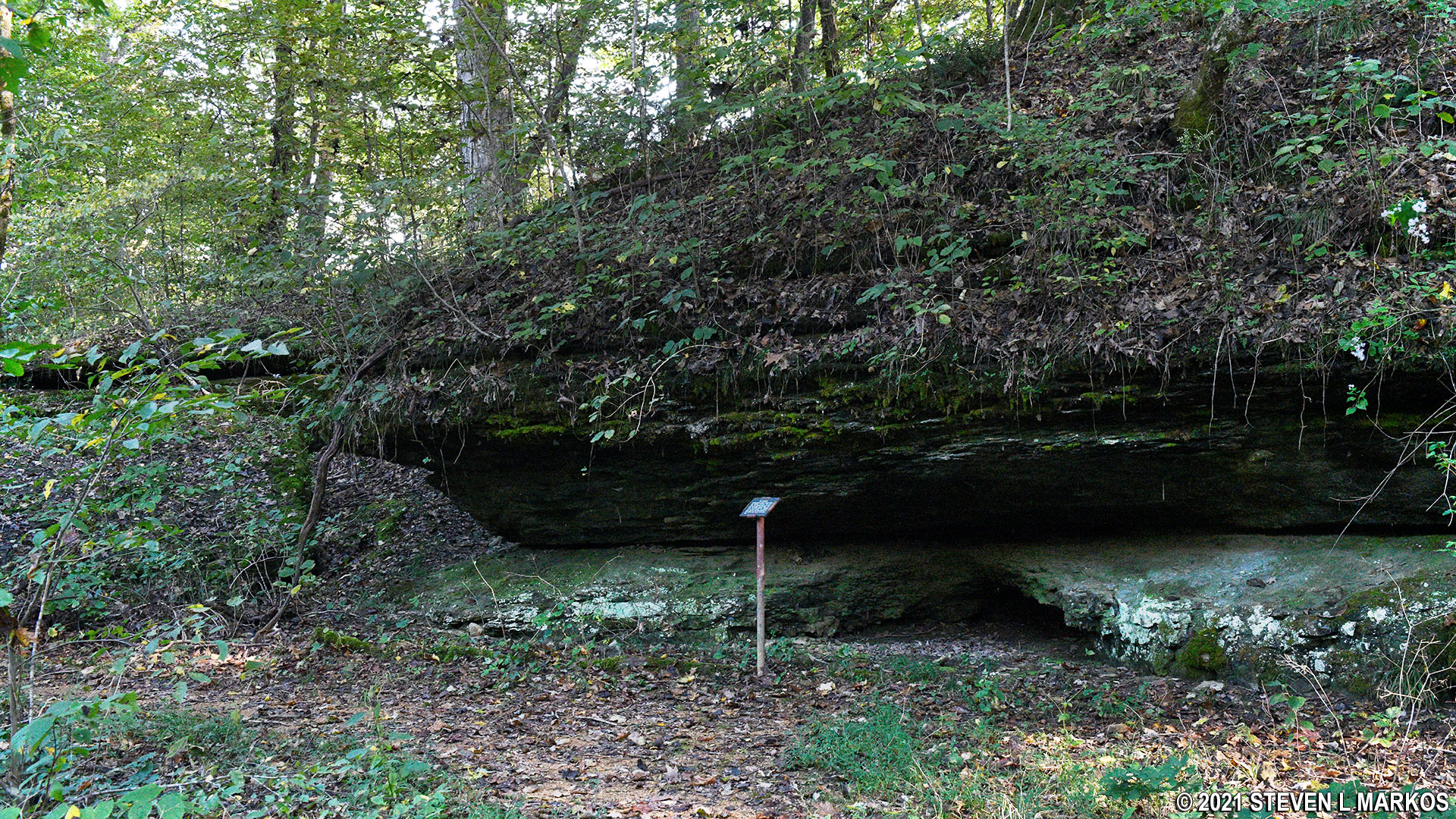
Cave shelter on the Sweetwater Branch Nature Trail
Back to the Top | Next Stop North | Next Stop South
With a few exceptions, use of any photograph on the National Park Planner website requires a paid Royalty Free Editorial Use License or Commercial Use License. See the Photo Usage page for details.
Last updated on November 30, 2021


