

Jockey Hollow Trail Map (click to enlarge)
Be sure to pick up a trail map (small fee) at either the Jockey Hollow Visitor Center or the Washington’s Headquarters Museum. You can also download a PDF version on the Park Map web page here on National Park Planner.
Length: 1 mile, one way
Time: 30 minutes
Difficulty: ★★☆☆☆
The Soldier Hut Trail (aka Orange Trail) is located in the Jockey Hollow Area of Morristown National Historical Park. It is a one-way trail that runs through the middle of the Grand Parade Trail loop (aka Yellow Trail), extending from near the Wick House to the Pennsylvania Line Encampment Site. I began the hike from the Wick House, and this report is written from that perspective.
At the Wick House, the Soldier Hut Trail branches off the Grand Parade Trail not too far from its start, so to begin the hike you must get to the Grand Parade Trail trailhead on Cemetery Road. If you parked at the Wick House as I did, head towards the red barn and keep walking past it (note there is also a parking lot next to the barn). You’ll end up on a grass-covered path that eventually turns to gravel before merging with Cemetery Road. Where the grass meets the gravel is the start of the Grand Parade Trail.
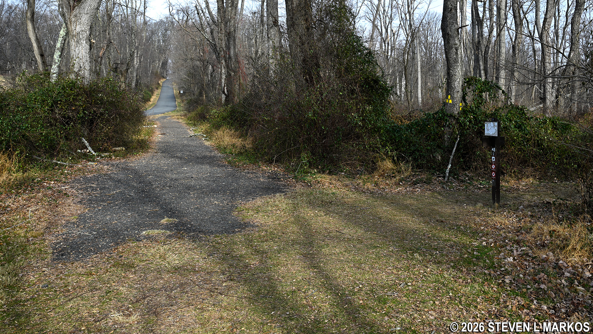
Trailhead for the Grand Parade Trail near the Wick House at Morristown National Historical Park
At the trailhead is a sign and a tree on which three yellow blazes (paint splotches) are painted. Yellow is the color of the Grand Parade Trail, and blazes serve as Hansel and Gretel breadcrumbs for hikers to follow. Three blazes in the shape of a triangle indicate the official starting point of a trail.
Start of the Grand Parade Trail near the Wick House at Morristown National Historical Park
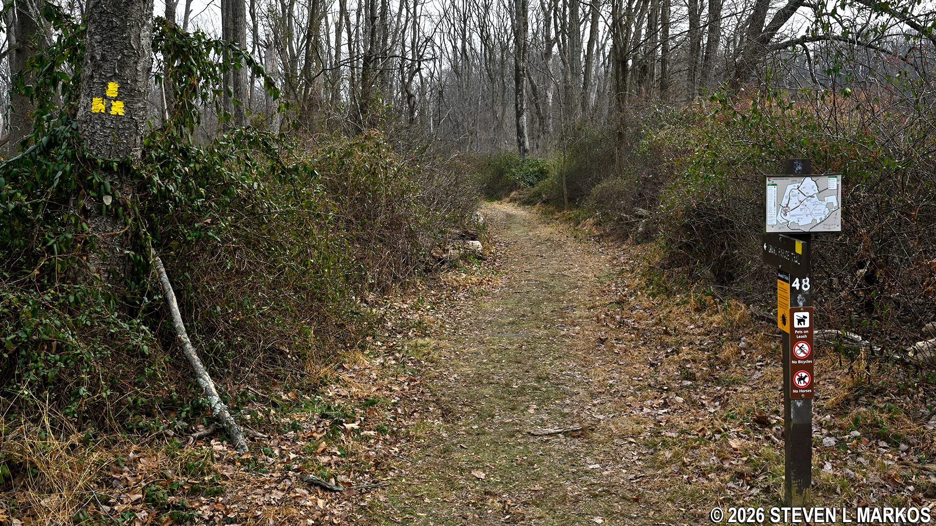
A tenth of a mile down the Grand Parade Trail is the start of the Soldier Hut Trail. A sign post and orange blazes, the trail’s color, are at the intersection.
Start of the Soldier Hut Trail near the Wick Farm at Morristown National Historical Park
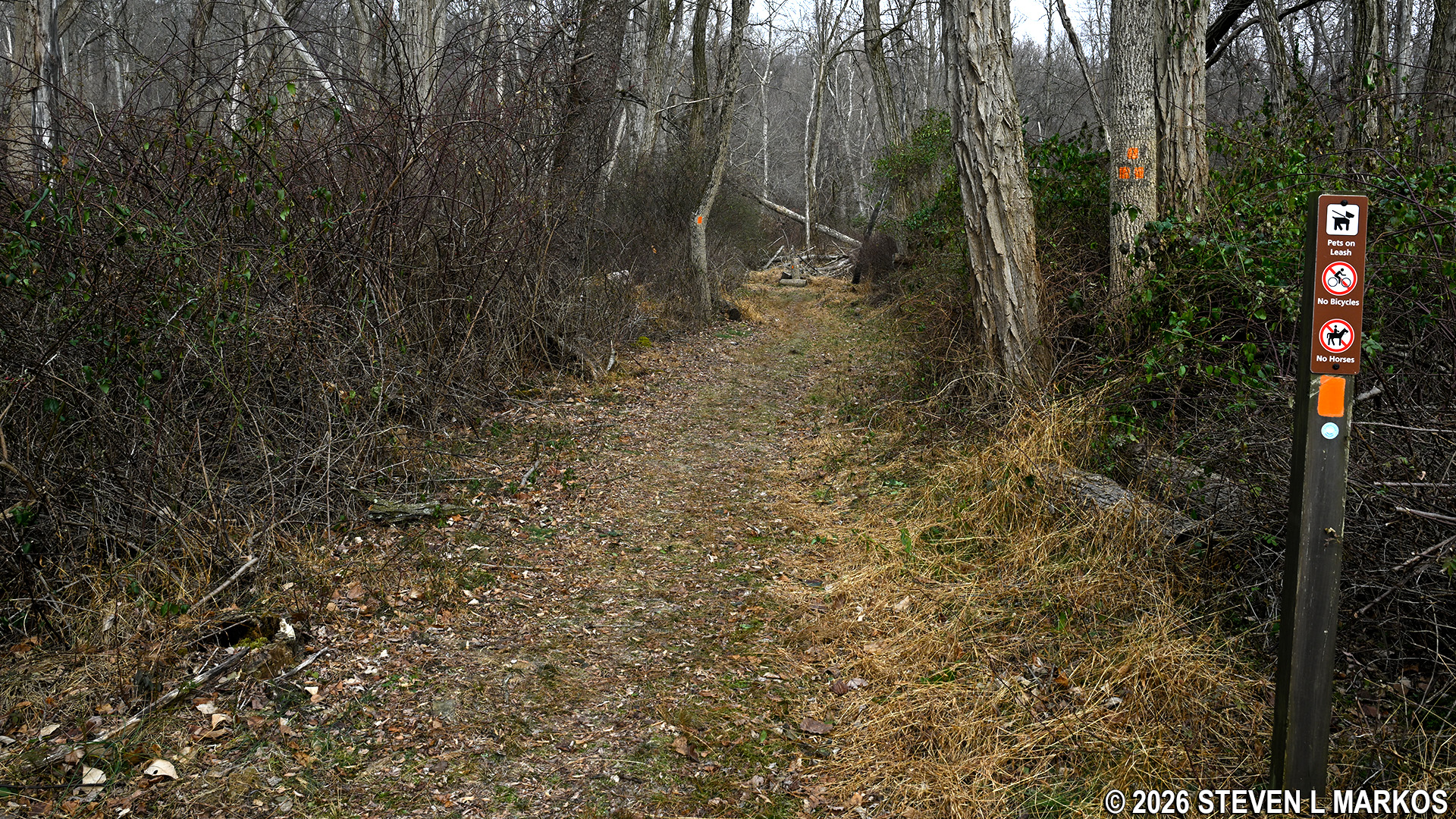
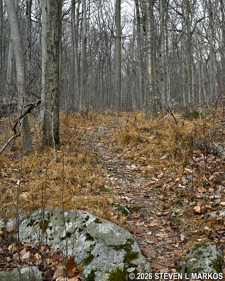
While the general trajectory for the first half of the Soldier Hut Trail is downhill, the slope is long and gradual. There are a few rough segments, but overall the trail surface is largely free of rocks and roots that can cause hikers to trip.
Typical terrain on the Soldier Hut Trail in Morristown National Historical Park
At the half-mile mark, there is an old well. This is a remnant of an aqueduct system built in the late 1890s that carried water from the freshwater springs in the area to Morristown. Four miles of trenches were dug and many miles of pipe were laid by the Morris Aqueduct Company, New Jersey’s first water company. It remained in business until the early 1930s.
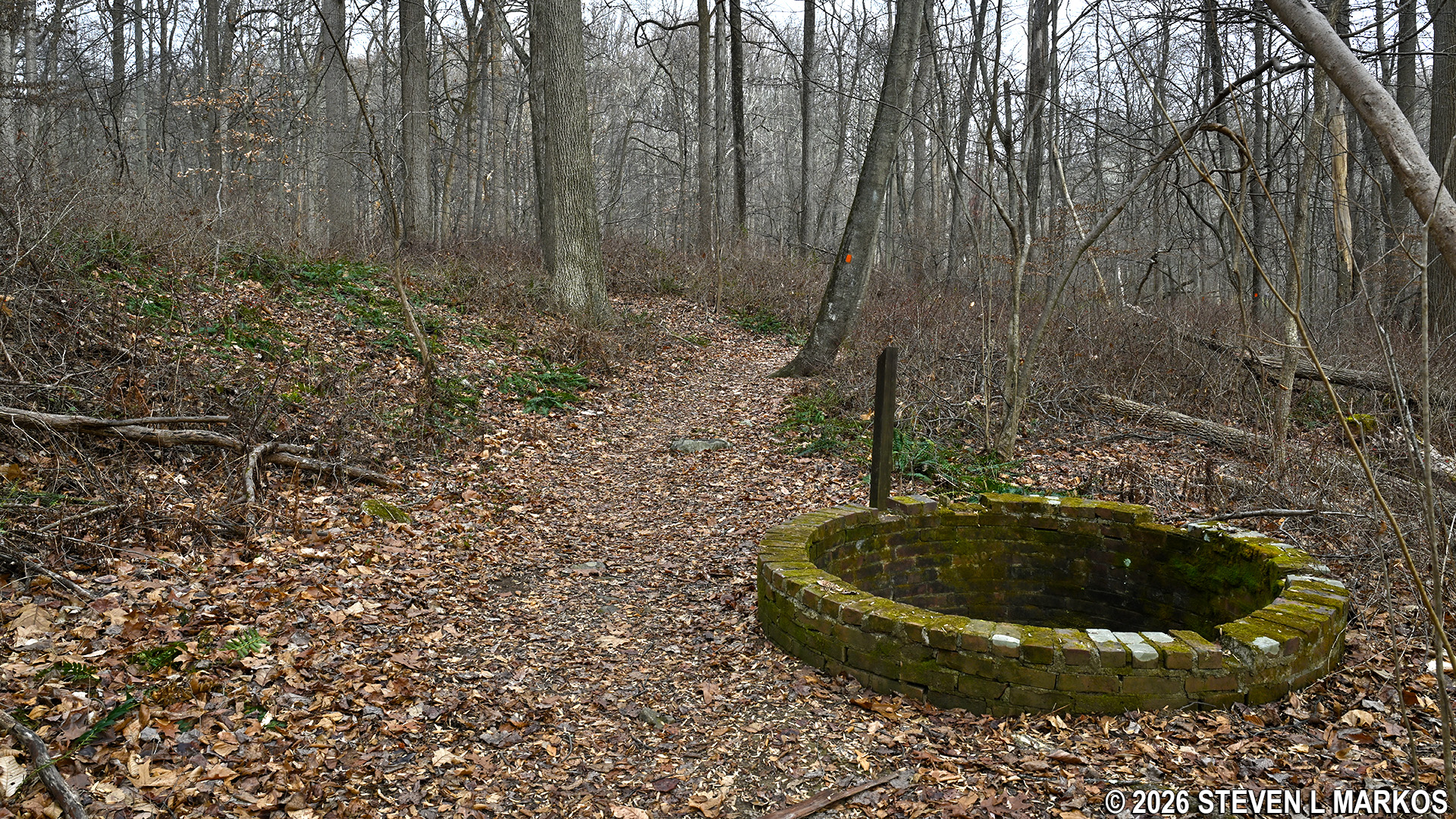
Well along the Orange Trail in the Jockey Hollow area of Morristown National Historical Park
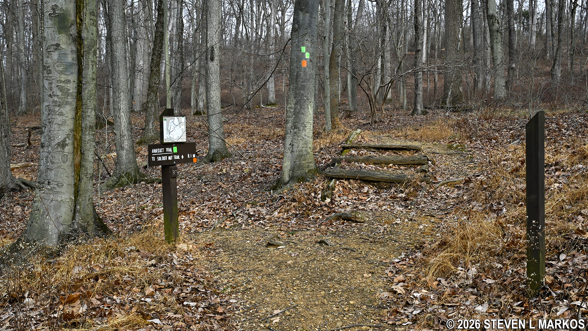
Shortly after the well is an intersection with the Aqueduct Trail (aka Green Trail). On the tree are two orange blazes that stair step to the left, which indicates the Soldier Hut Trail continues to the left turn. A right on the Aqueduct Trail leads to the Trail Center Parking Lot, a starting point for many of the trails in the Jockey Hollow area.
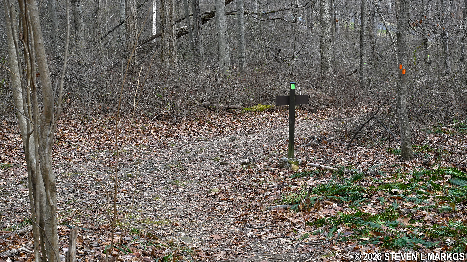
Intersection of the Soldier Hut and Aqueduct trails near the Trail Center Parking Lot, Morristown National Historical Park
At this point the Soldier Hut and Aqueduct trails follow the same route, so you will see orange and green blazes on the trees. The trails head up a small hill for a tenth of a mile, then split at the top. The Soldier Hut Trail continues to the right (double orange blazes stair step to the right) and begins heading downhill for another tenth of a mile.
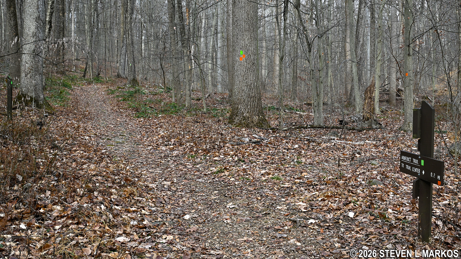
Split between the Soldier Hut and Aqueduct trails in the Jockey Hollow area of Morristown National Historical Park
At the bottom of the hill is a small stream, Primrose Brook, and just before the stream is another intersection. The Soldier Hut Trail continues straight ahead, merging briefly once again with the Aqueduct Trail (it is a long, narrow oval that runs on either side of Primrose Brook). It also merges with the Patriots Path, a collection of trails managed by the Morris County Park System. This particular segment runs from Speedwell Lake just north of Morristown to the New Jersey Audubon Society Nature Sanctuary in the south, with much of its route passing through Morristown National Historical Park. It uses various trails in the Jockey Hollow Area, including the Soldier Hut Trail. At the intersection, both the Patriots Path and Aqueduct Trail turn to the right, so the merger of the three actually happens on the other side of the intersection.
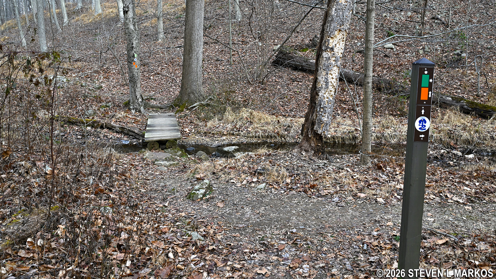
Soldier Hut Trail crosses Primrose Brook in the Jockey Hollow area of Morristown National Historical Park
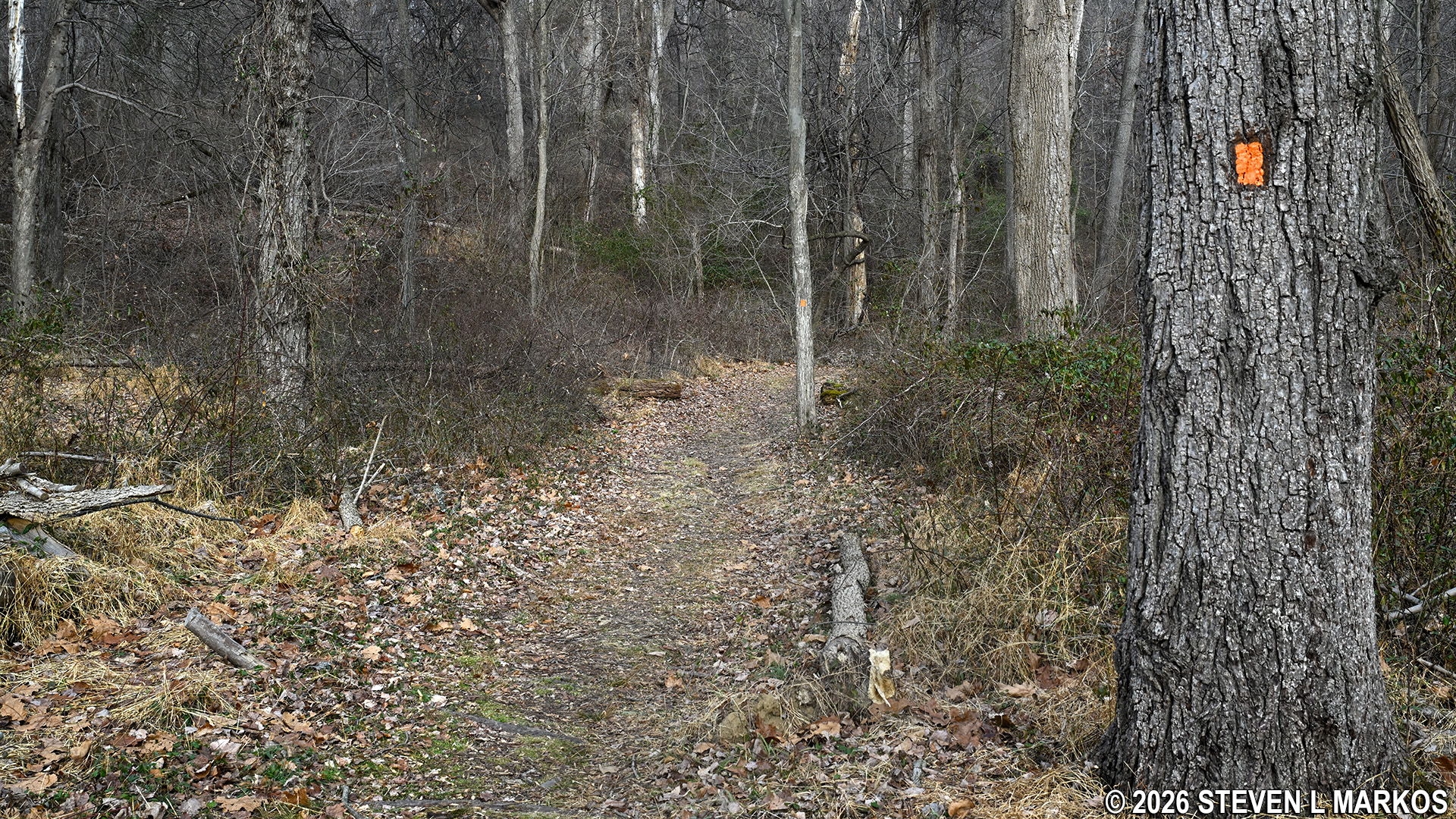
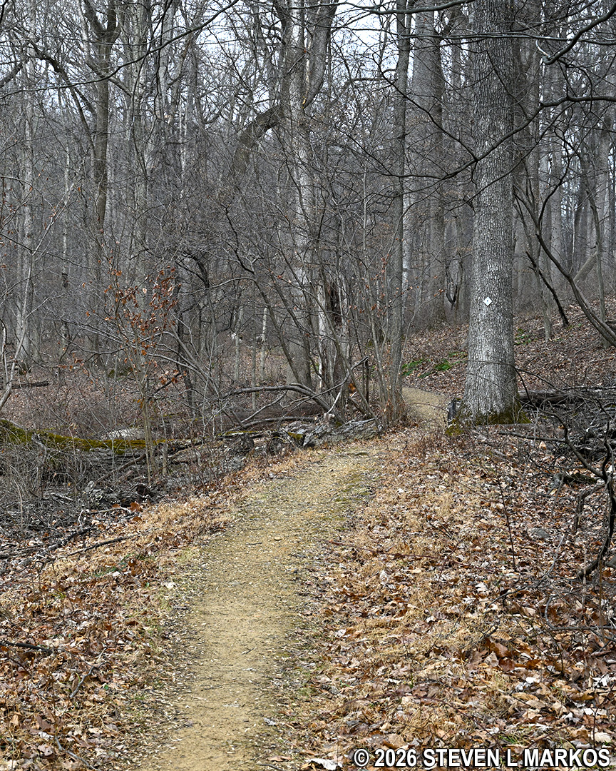
Once across Primrose Brook via a footbridge, the trail quickly climbs out of the shallow valley before leveling out, and from here to the end, the hike is like walking in the neighborhood.
Typical terrain where the Soldier Hut Trail, Aqueduct Trail, and Patriots Path are merged, Morristown National Historical Park
The merger with the Aqueduct Trail does not last long. At the split, the Soldier Hut Trail / Patriots Path continues straight head while the Aqueduct Trail forks off to the left. There is a directional sign at the intersection that also has a trail map attached to it.
Soldier Hut Trail splits with the Aqueduct Trail before heading towards the Pennsylvania Line Encampment in Morristown National Historical Park
From the split, it is a straight shot on the Soldier Hut Trail to the Pennsylvania Line Encampment Site .3 miles ahead. The trail ends at a field, with the Pennsylvania Line parking lot a little to the left and the replica soldier huts to the right. Total distance from the Wick House is exactly one mile.
Typical terrain on the last .3 miles of the Soldier Hut Trail before the Pennsylvania Line Encampment Site at Morristown National Historical Park
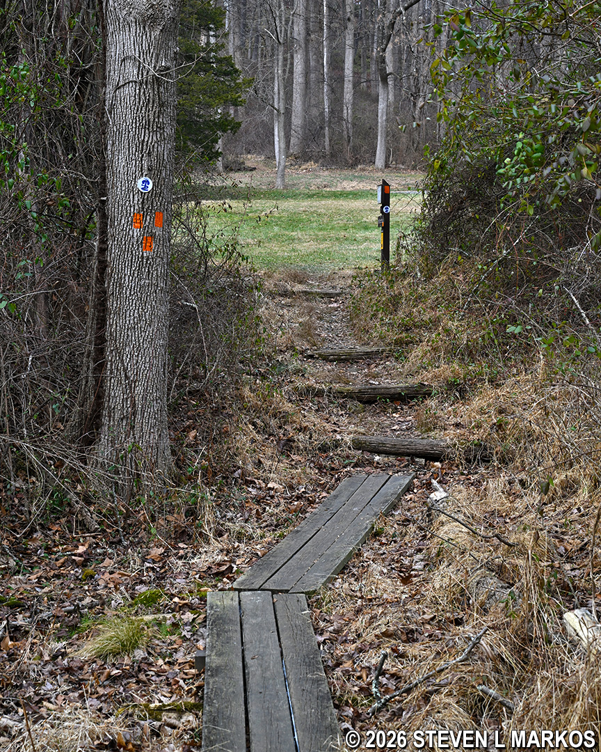
End of the Soldier Hut Trail at the Pennsylvania Line Encampment Site, Morristown National Historical Park
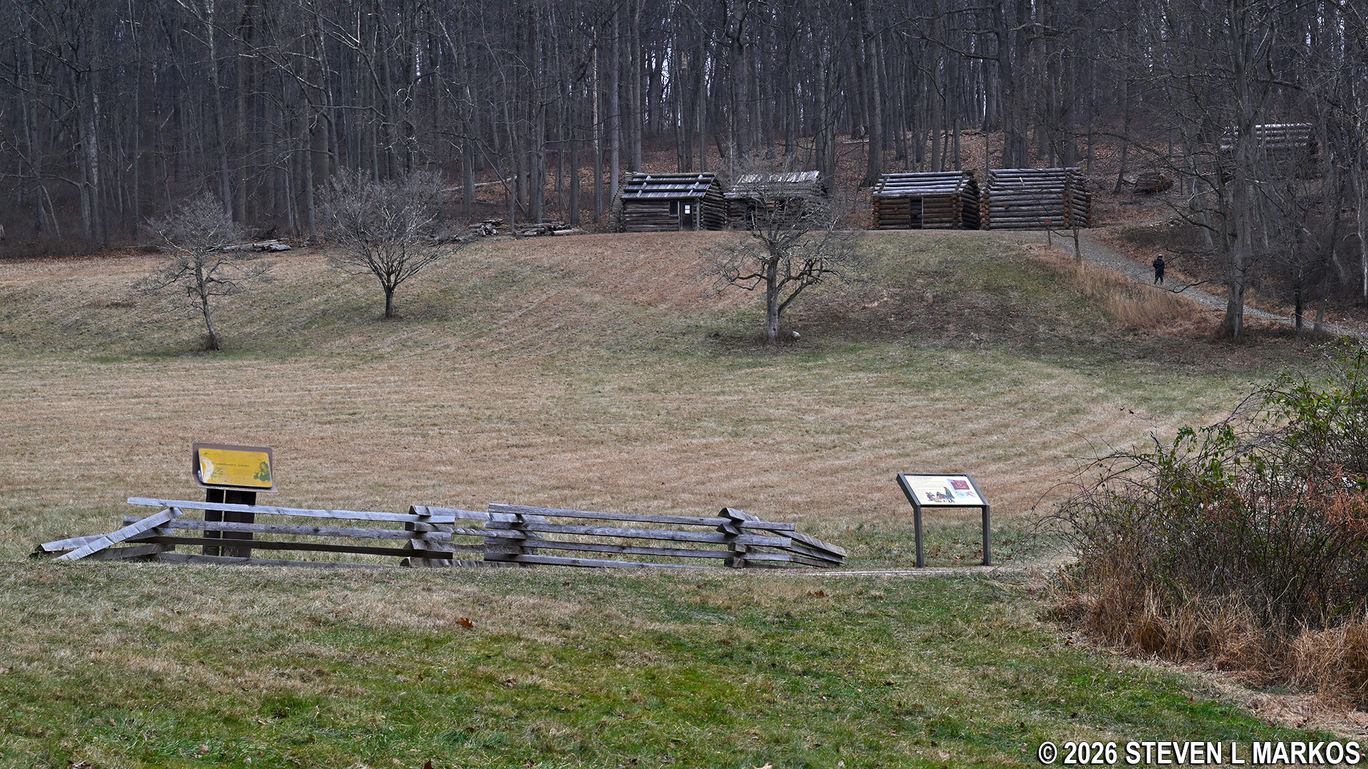
Replica soldier huts at the Pennsylvania Line Encampment Site, Morristown National Historical Park
To get back to the Wick House, either retrace your steps along the Solider Hut Trail or take the Grand Parade Trail in the counterclockwise direction. Distance is about the same, and you don’t have to see the same things twice if you take the Grand Parade Trail. To get to it, as soon as you come to the field at the end of the Soldier Hut Trail, take a sharp left. The trailhead is at an opening in the tree line.
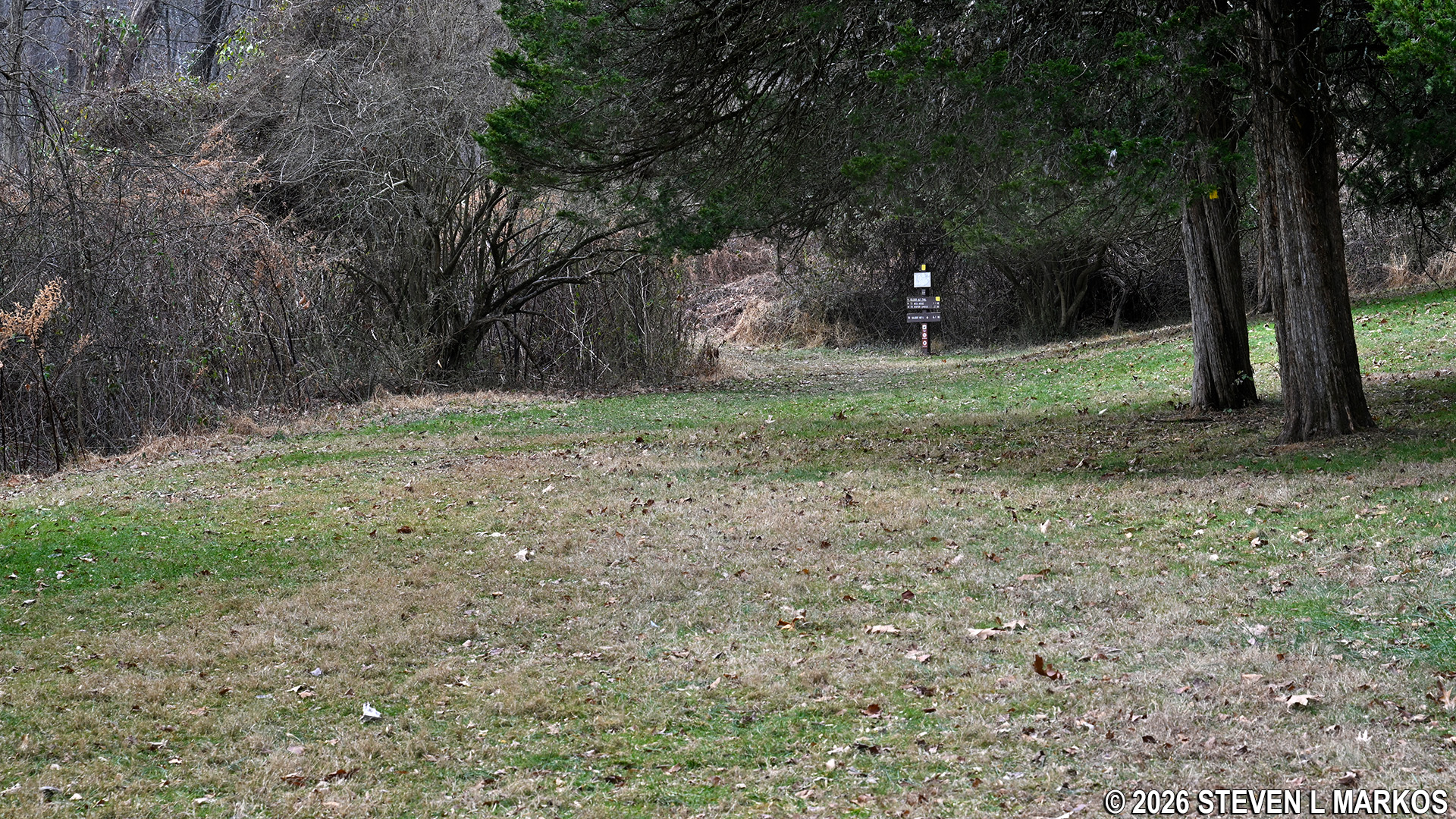
Counterclockwise-direction trailhead for the Grand Parade Trail at the Pennsylvania Line Encampment Site, Morristown National Historical Park
With a few exceptions, use of any photograph on the National Park Planner website requires a paid Royalty Free Editorial Use License or Commercial Use License. See the Photo Usage page for details.
Last updated on July 15, 2026


