
Millbrook Village at Delaware Water Gap National Recreation Area
Millbrook Village is a collection of historical buildings within Delaware Water Gap National Recreation Area on the New Jersey side of the park. The origin of the farming village stems from a grist mill built by Abraham Garis in 1832 along the new Columbia-Walpack Turnpike. Another mill in the area had closed, and Garis hoped to capitalize on the traffic that was now coming through the area. His mill was the closest place to do business for the local farmers.
This seed of commerce drew other families to the area, and by 1875 there were 75 residents in Millbrook. However, only a few years later, prosperity began to decline. The main reason was that the village was bypassed by the railroad, making it very expensive for the local farmers to get their goods to market. In addition, factory jobs began luring people to the city, and larger farms were putting the small family farms out of business. The Garis Mill that started it all closed around 1900.
By the early 1950s, the only business left was the blacksmith shop, and the few residents were mainly there only in the summer. With the village nearly empty, the Columbia-Walpack Turnpike was moved a mile south in 1955. Visitors to Millbrook today can walk the original path of the turnpike. It is a footpath defined by tire tracks that runs through the middle of the village.

The original path of the Columbia-Walpack Turnpike is still worn into the ground at Millbrook Village in Delaware Water Gap National Recreation Area
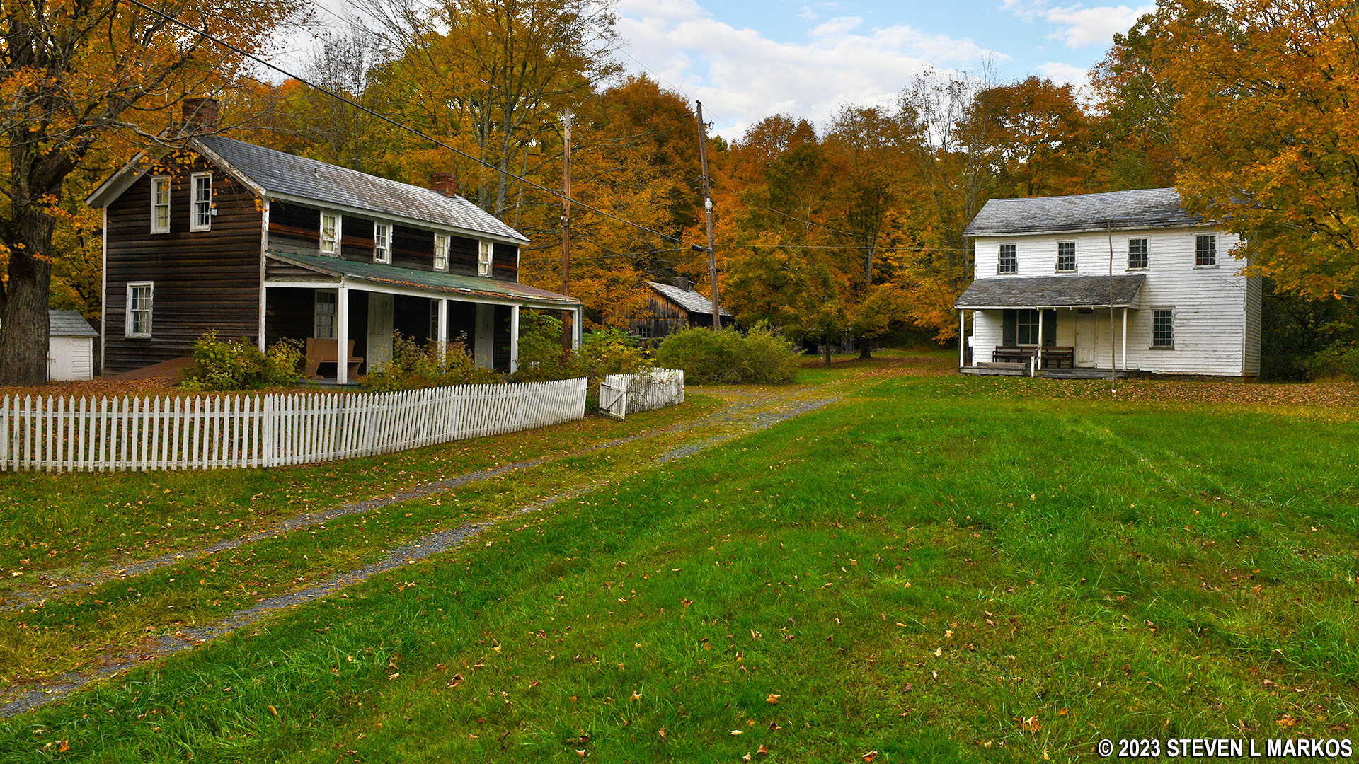
While the current Millbrook Village is on a section of the original town site, it is not a preservation of the village. In the early 1970s, a few of the better preserved buildings at Millbrook were moved to the higher ground now occupied by the historical site due to the threat of flooding by the proposed Tocks Island Dam, which would have turned the lower lying lands into a lake. The rest of the village buildings were eventually torn down. A few historical buildings from other areas threatened by the dam were also moved here. In fact, the government had bought everything within the current park, and everyone had moved. When the dam project was abandoned in 1975, what was supposed to be a National Recreation Area based around a lake was now a National Recreation Area based around a river.
With a collection of authentic buildings on its hands, the National Park Service set out to recreate a typical rural farming town of the mid- to late 1800s. To do so, it added modern reproductions of typical buildings from the time period that were missing from the collection. Most of these were built in the 1970s and 80s.
Millbrook Village is open year-round from dawn to dusk for those who want to walk around the town. However, most buildings are currently closed to the public. The National Park Service does conduct tours of the village in July and August. For a list of events and a schedule, see the official Calendar web page for Delaware Water Gap National Recreation Area. Enter MILLBROOK in the By Keyword search area to limit results.
See the following web pages for information and photos of the historical buildings at Millbrook Village.
BUIDINGS ORIGINAL TO MILLBOOK VILLAGE
Millbrook Hotel and Boarding House
BUILDING CONTRUCTED OR MOVED TO MILLBROOK VILLAGE
There is also antique farm equipment strewn around the village site and a variety of outbuildings such as storage sheds, smokehouses, corn cribs, and outhouses.

Smokehouse at Millbrook Village in Delaware Water Gap National Recreation Area
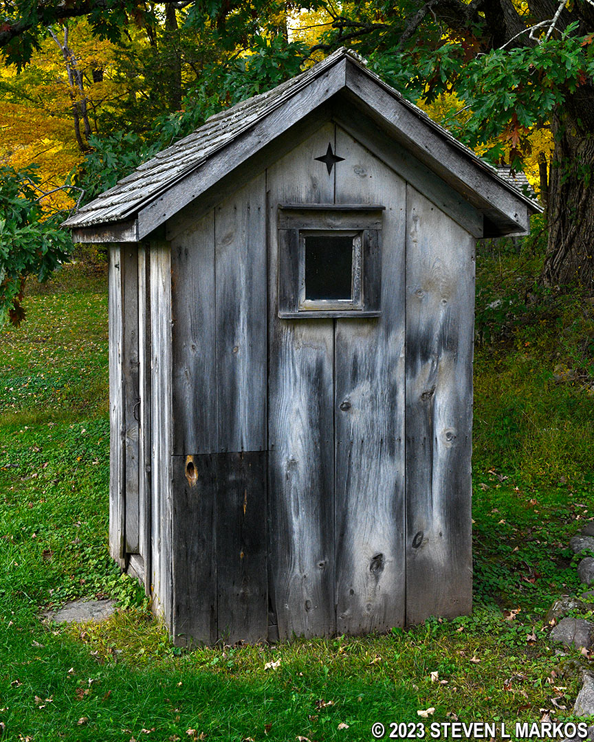
Outhouse at Millbrook Village in Delaware Water Gap National Recreation Area
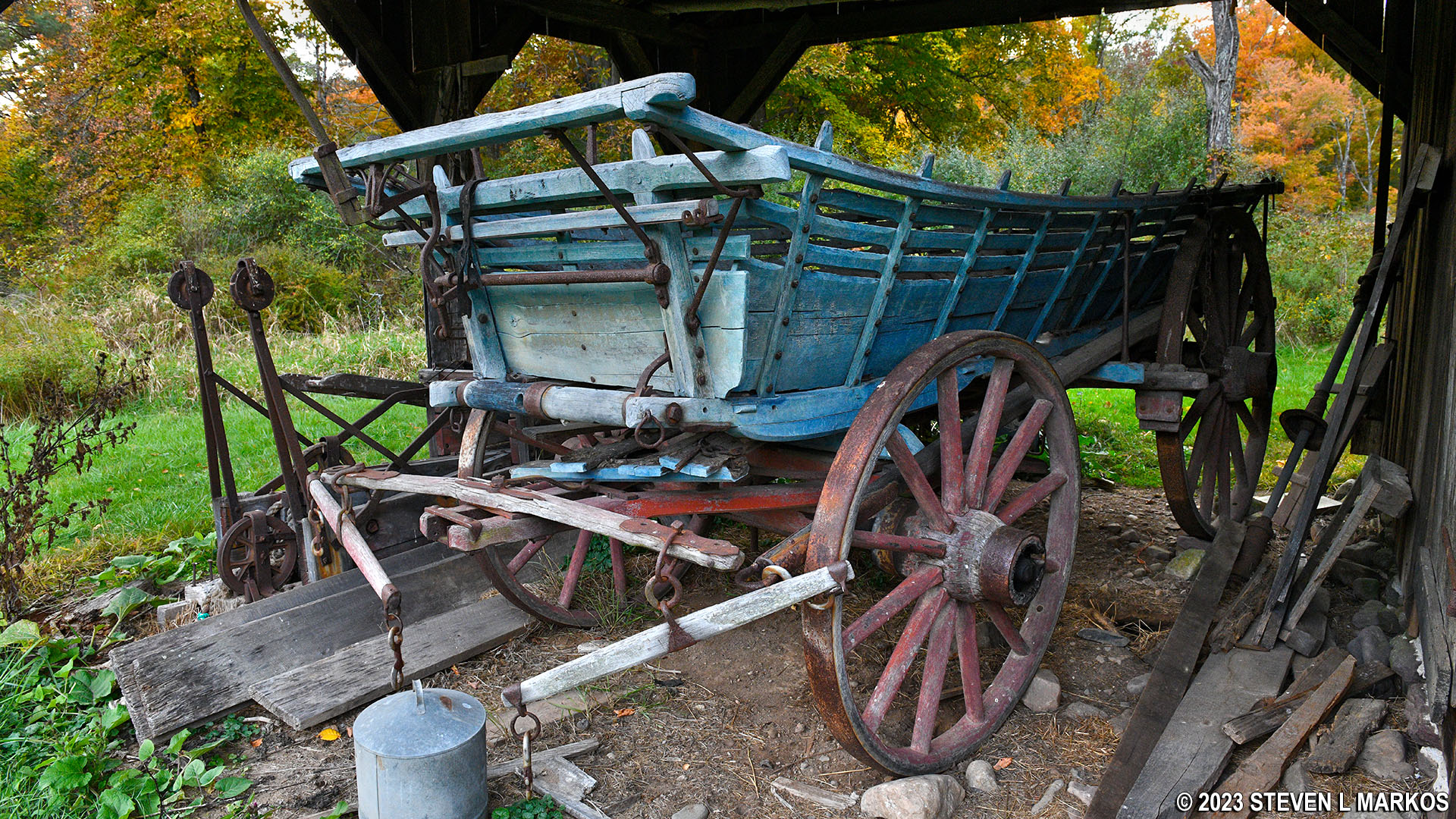
Old wagon on display at Millbrook Village in Delaware Water Gap National Recreation Area
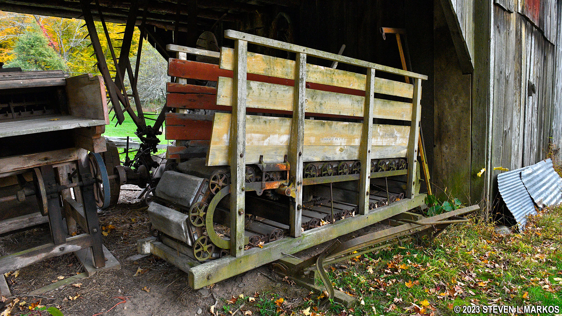
Antique farm equipment at Millbrook Village in Delaware Water Gap National Recreation Area
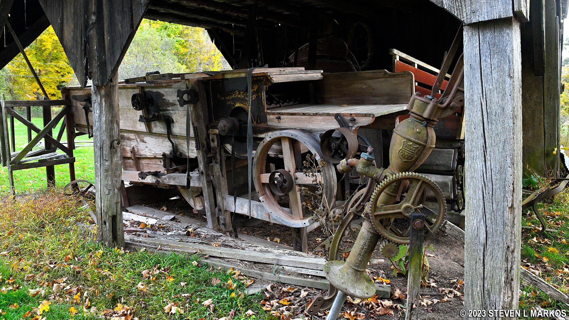
Antique farm equipment at Millbrook Village in Delaware Water Gap National Recreation Area
In addition to the buildings, there are picnic tables near the Wagon Shop as well as a number of hiking trails. See the Millbrook Village Area Trails web page here on National Park Planner for details and photos of each trail.
With a few exceptions, use of any photograph on the National Park Planner website requires a paid Royalty Free Editorial Use License or Commercial Use License. See the Photo Usage page for details.
Last updated on August 2, 2024


