
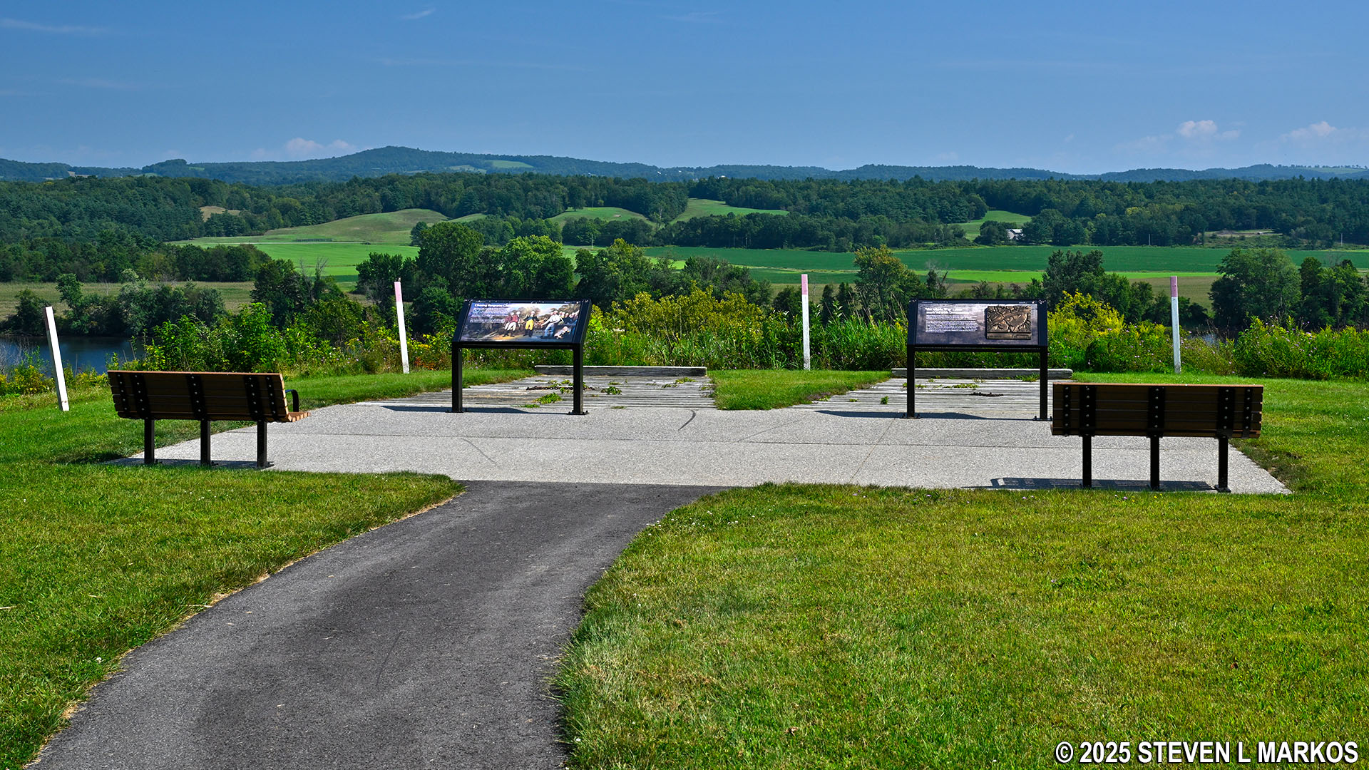
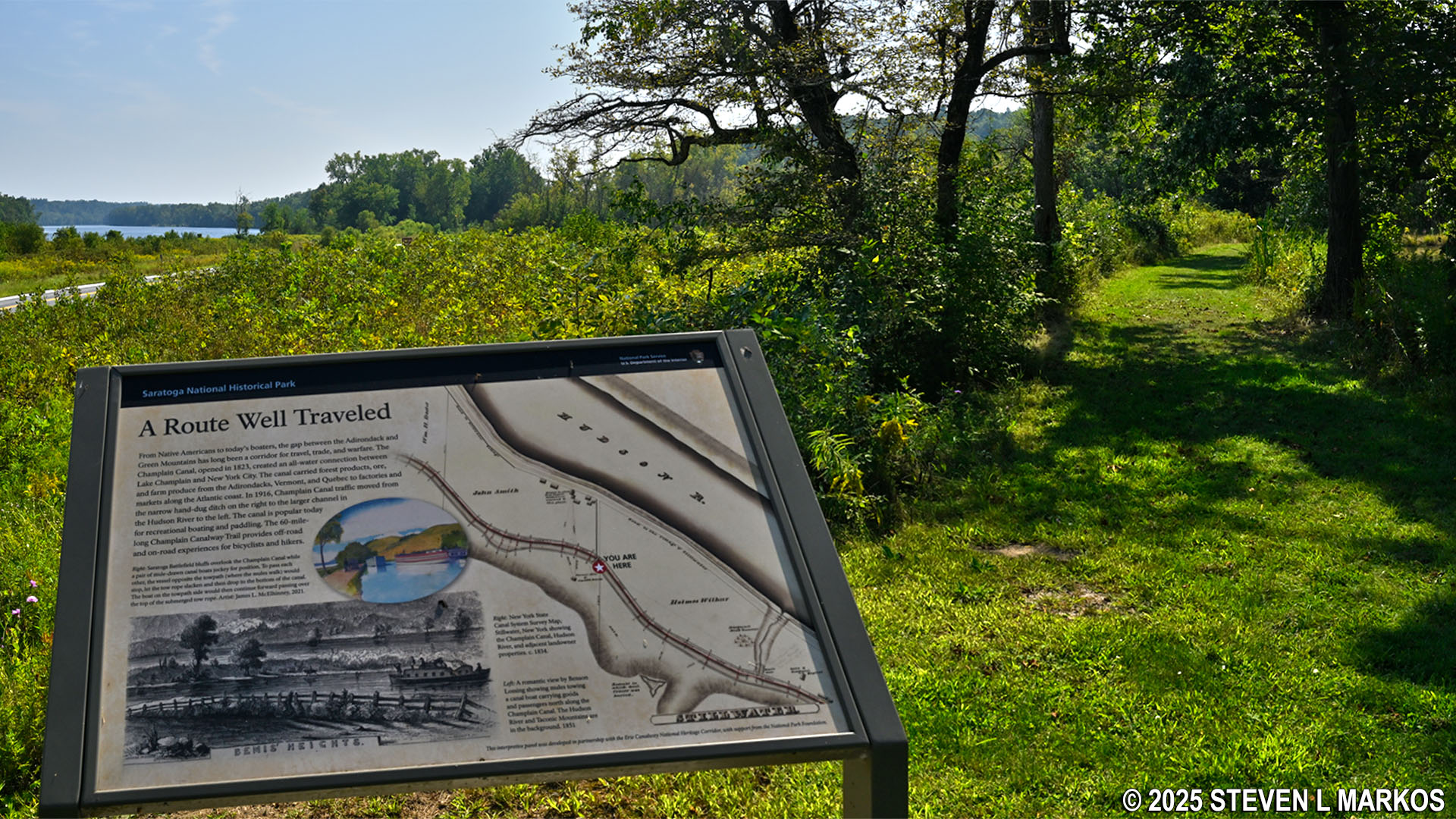
Wayside exhibits at Stop 10 on the Saratoga Battlefield Tour, Saratoga National Historical Park
SARATOGA BATTLEFIELD TOUR
STOP 10: RETURN TO SARATOGA
Allow 10 minutes to visit the exhibits and up to an hour if hiking the trail
The final stop on the Saratoga Battlefield Tour is on the bluff high above the Hudson River where the British army began its retreat north to the village of Saratoga (now Schuylerville) on the rainy night of October 8, 1777, one day after being defeated by the Americans at the Second Battle of Saratoga (aka Battle of Bemus Heights). There are wayside exhibits that detail the retreat, three picnic tables, and a hiking trail that leads to the bottom of the valley.
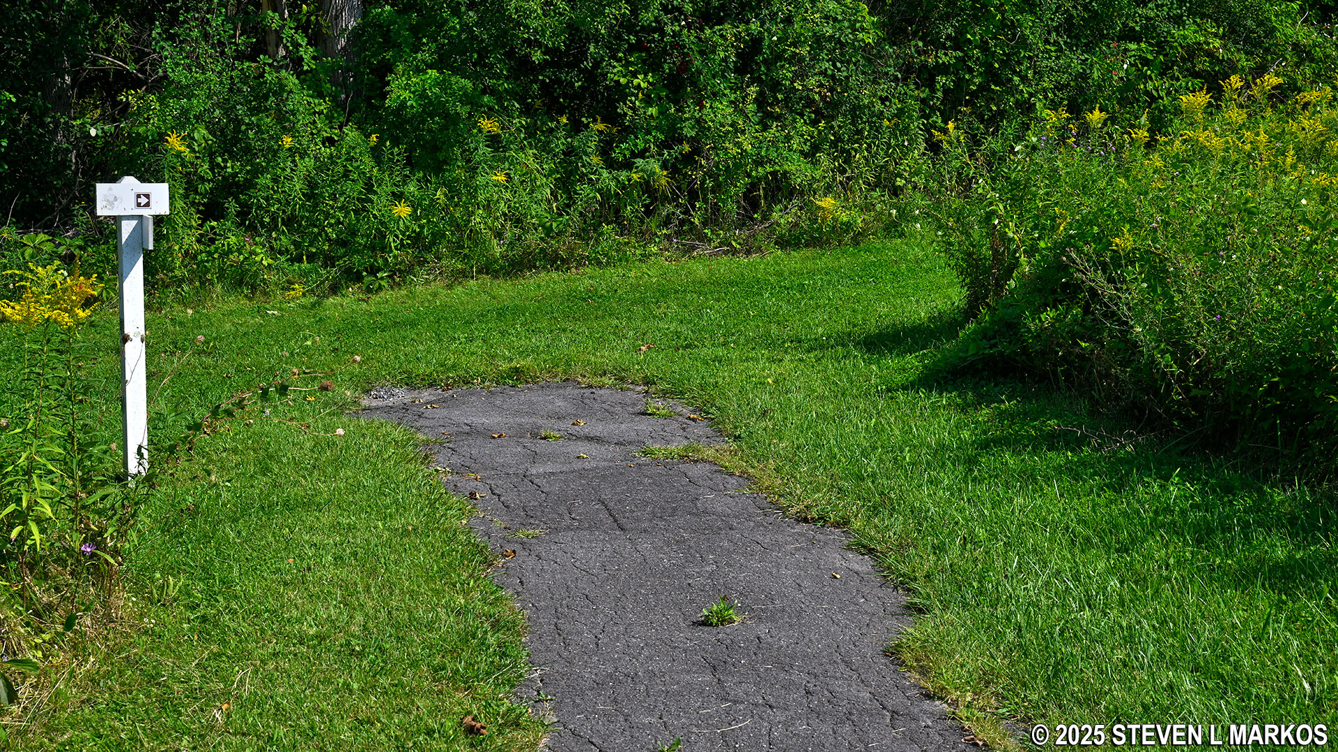
It is a quarter-mile walk down a paved path from the parking lot to get to the wayside exhibits at Stop 10. This walk is downhill / uphill and is moderate in difficulty. There are great views of the Hudson River Valley from here, but if the effort is too much for you, the views are pretty much the same at Stop 9 on the battlefield tour, and that overlook is much easier to reach.
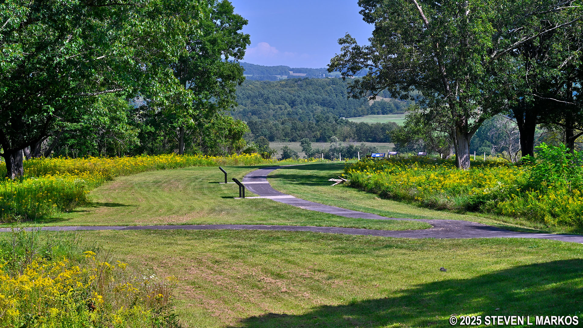
Path from the parking lot to the exhibit area at Stop 10 on the Saratoga Battlefield Tour, Saratoga National Historical Park
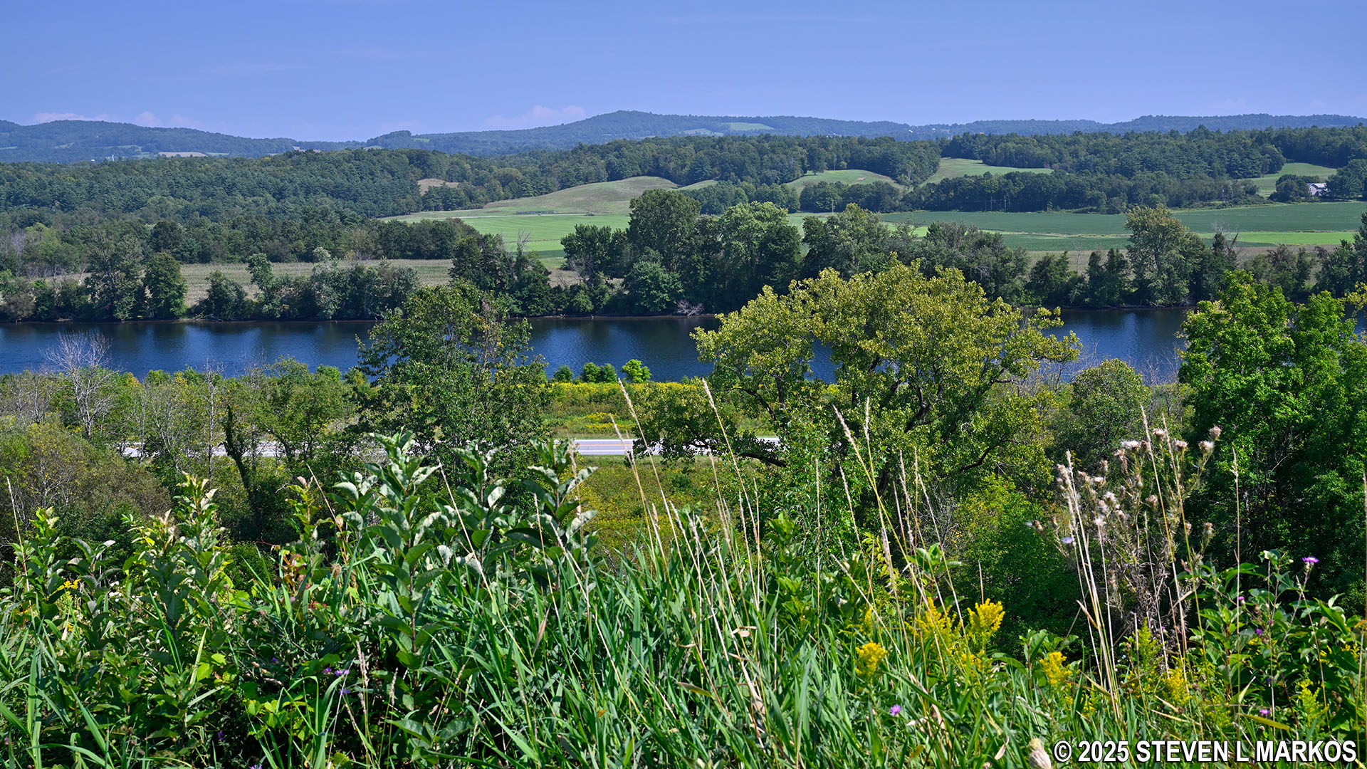
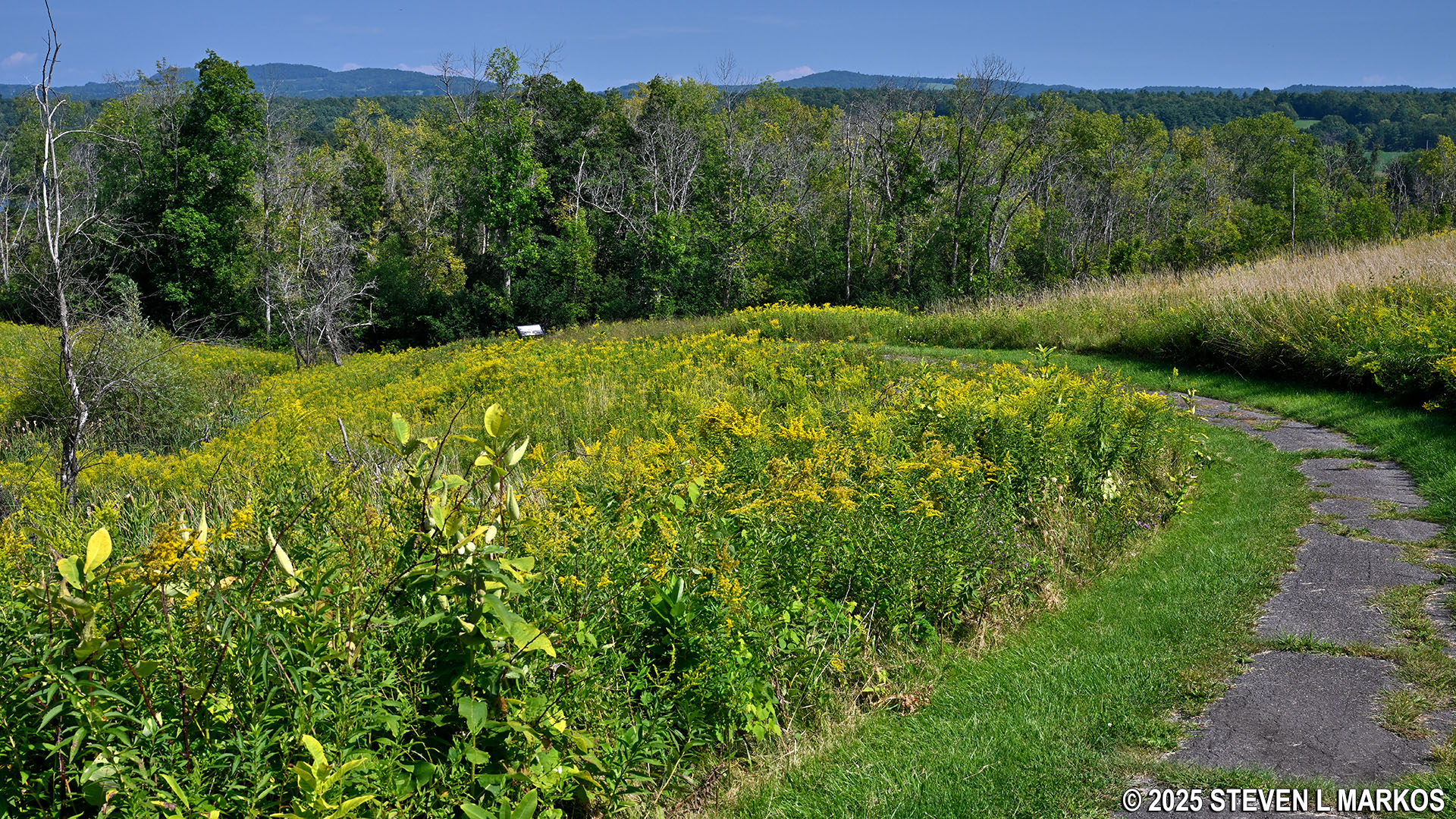
View of the Hudson River Valley from Stop 10 on the Saratoga Battlefield Tour, Saratoga National Historical Park
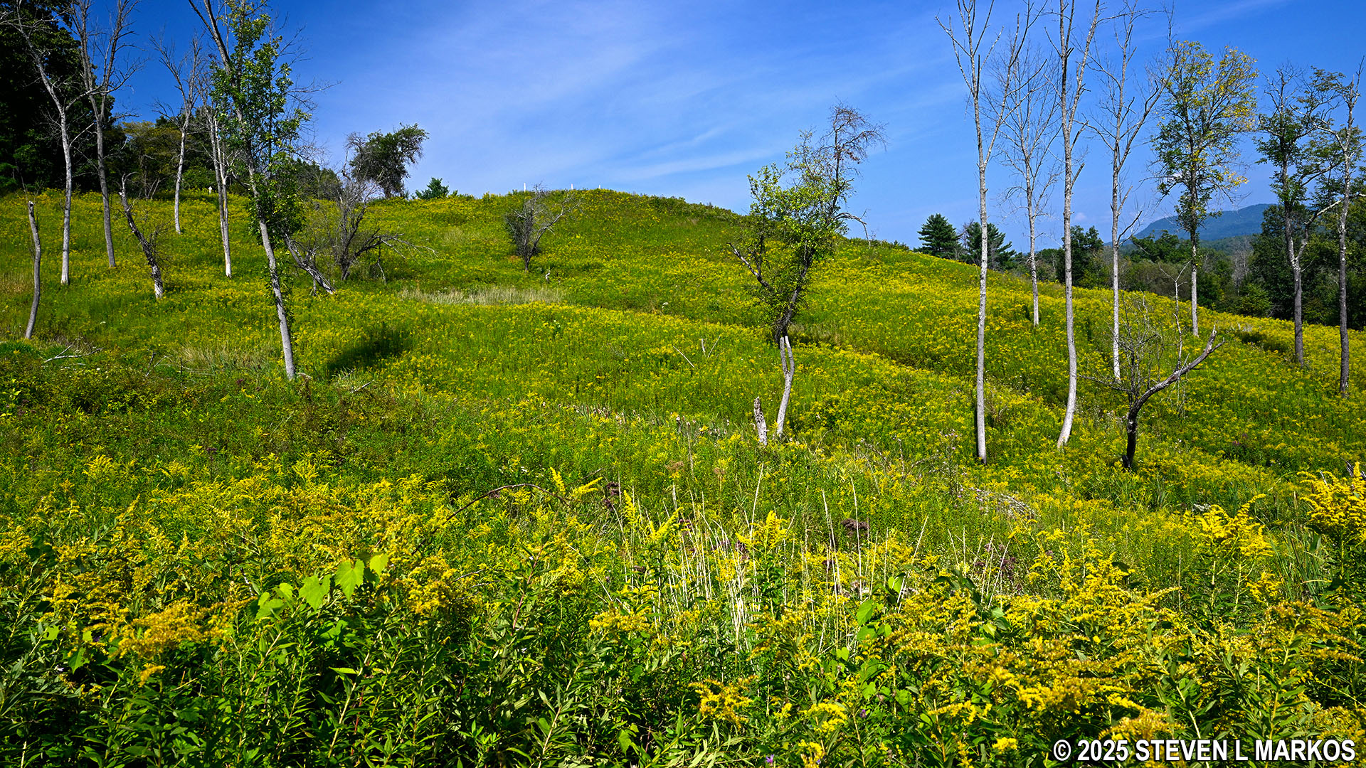
At the bottom of the bluff was a road that ran along the river (roughly highway US 4 today), and this road was used by the British army under the command of General John Burgoyne as they marched south from Canada in an attempt to capture Albany, New York. After their defeat on October 7th, they now used this same road to escape north (some also traveled on the Hudson River by boat). Visitors to Saratoga National Historical Park can follow in the British army’s footsteps by taking a very steep trail to the bottom—unofficially called the Refugee Trail—and then hiking eight miles to Schuylerville. For those who don’t want to walk that far, there is a 1-mile loop trail that leads from the tour stop to the bottom of the valley and back up. The scenery is fantastic, but as mentioned, the hills are extremely steep. Short segments have average grades reaching as high as 30% (strenuous hiking begins at 15%), though the overall grade is a moderate 11%.
HIKING TRAIL
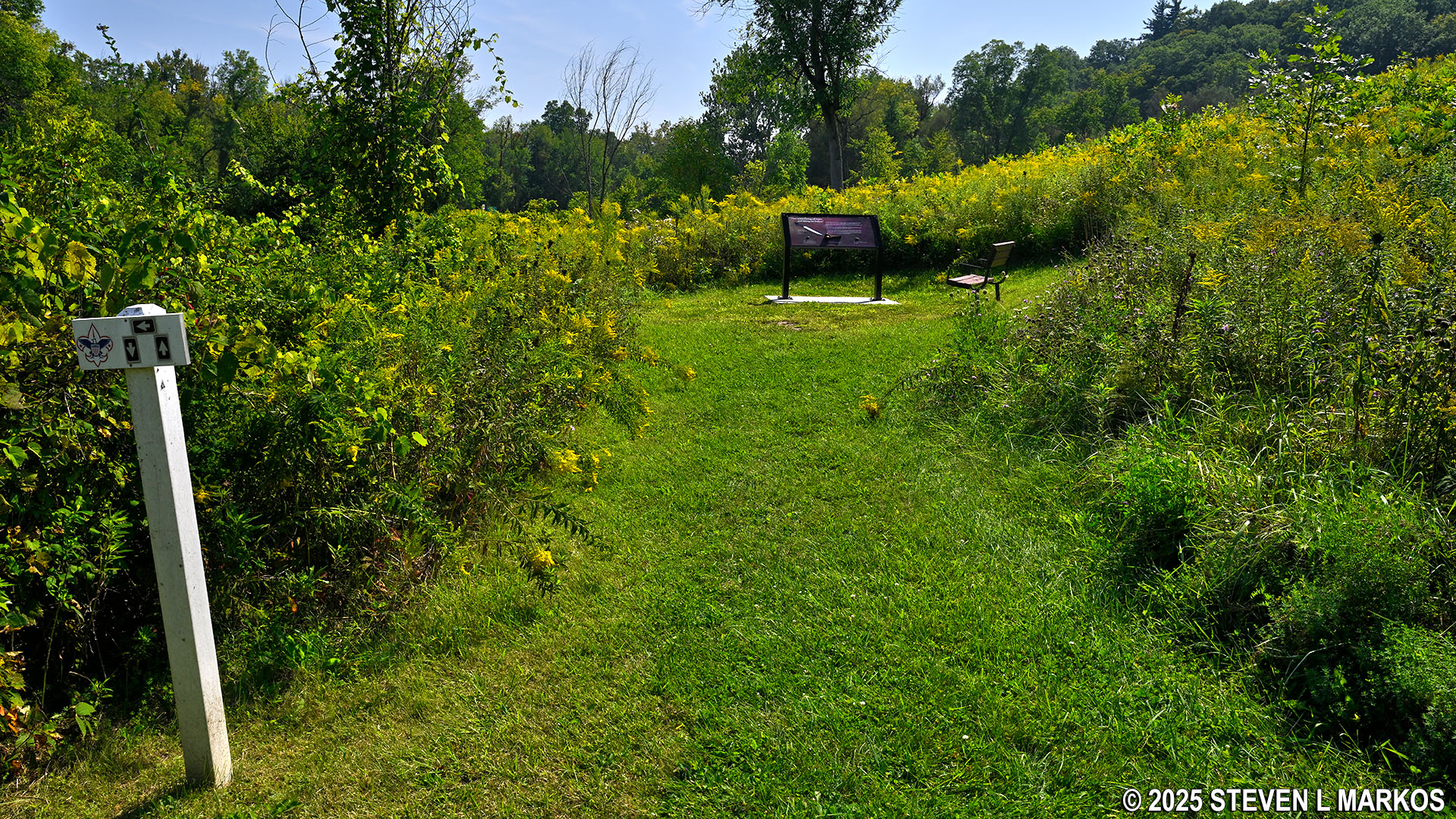
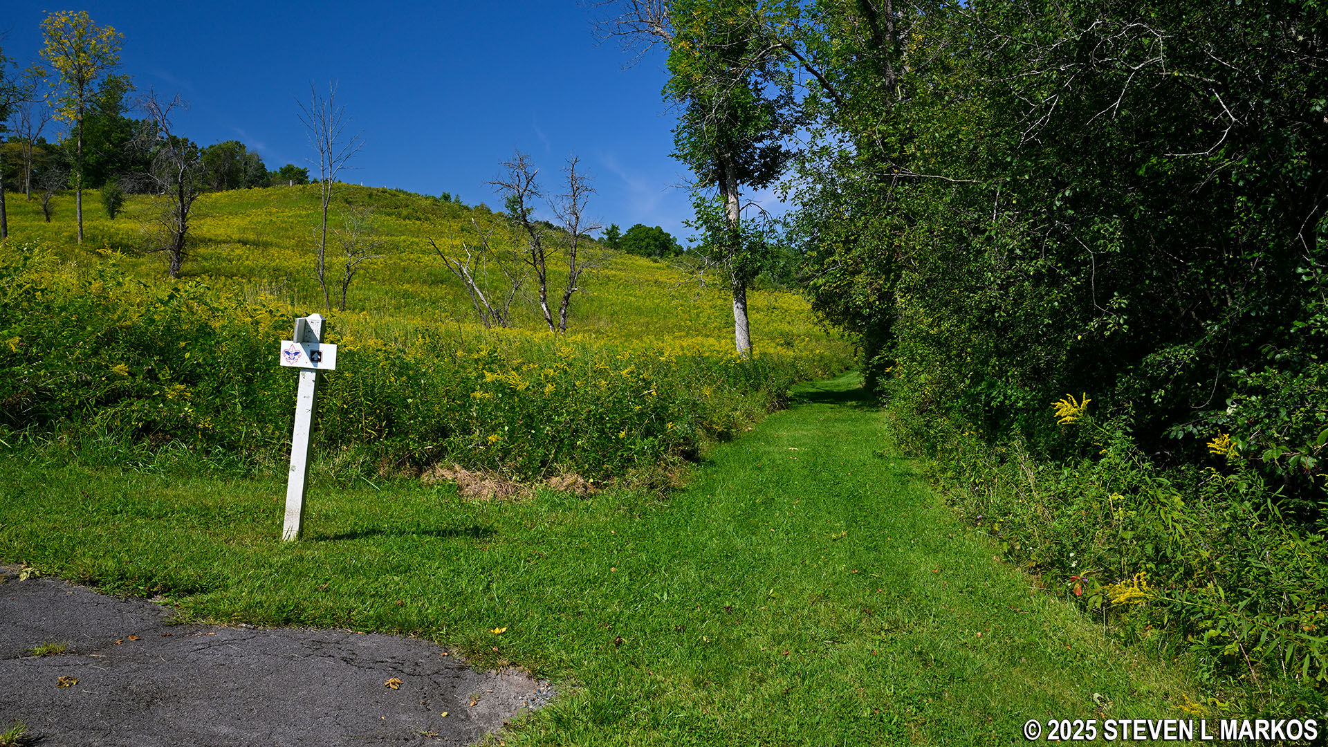
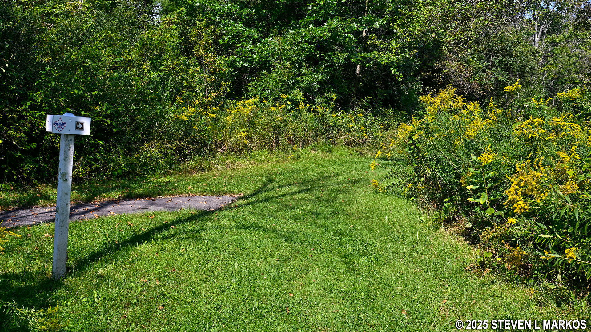
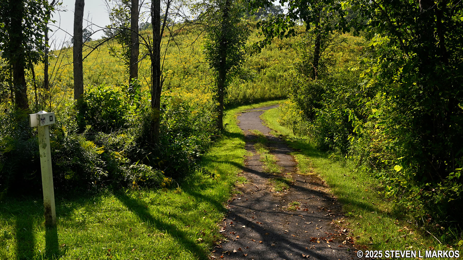
As you walk from the parking lot you will pass two intersections, one with a nondescript paved path not too far down that branches off to the left and a more noticeable path closer to the wayside exhibits that branches off to the right. Both are trailheads for the loop to the bottom, with the first setting hikers off in the clockwise direction and the second in the counterclockwise direction. The trail is meant to be hiked counterclockwise, so take the paved path near the exhibits.
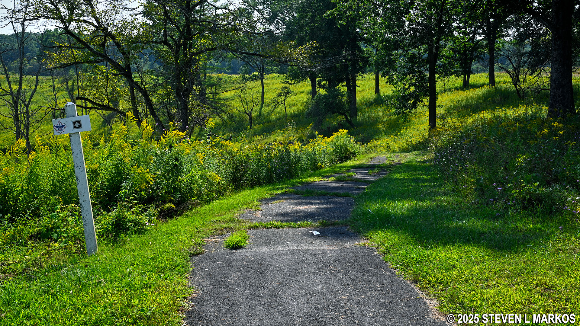
Start of the Refugee Trail at Stop 10 on the Saratoga Battlefield Tour, Saratoga National Historical Park
The trail to the bottom does make an S-curve, so the descent is not as steep as it could have been had the trail gone straight to the bottom. The scenery on the way down was beautiful during my late August visit, though the high humidity and temperatures, plus a mosquito population on par with that of the Everglades (during the winter) made the overall hike quite miserable.
Refugee Trail at Stop 10 on the Saratoga Battlefield Tour leads to the bottom of the valley, Saratoga National Historical Park
Beautiful scenery on the Refugee Trail at Stop 10 on the Saratoga Battlefield Tour, Saratoga National Historical Park
The pavement ends at a T-intersection once it reaches the bottom of the valley. While the hike continues to the left, a directional sign indicates that hikers should take a right. A hundred yards down is the site used as an army hospital by the British during the fighting at Saratoga. This is where 400 wounded and sick men, along with a few doctors, were left when the army retreated north.
Refugee Trail at Stop 10 on the Saratoga Battlefield Trail reaches the valley below, Saratoga National Historical Park
Site of the British Army’s hospital during the fighting at Saratoga, Saratoga National Historical Park
When done at the hospital site, turn around and continue hiking past the paved trail. The terrain at the bottom is nearly perfectly flat, and the trail is a well-manicured grass path.
Northbound segment of the Refugee Trail at Saratoga National Historical Park
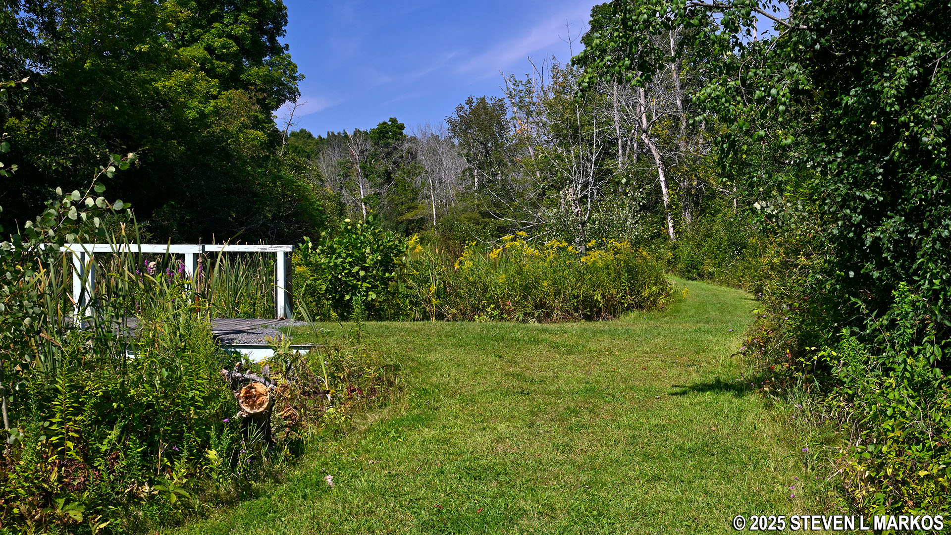
While not visible until much farther down due to thick brush, a narrow body of water runs along the trail. This is part of the original Champlain Canal that connected the Hudson River near Troy, New York, to Lake Champlain 60 miles to the north. It opened in 1823 and operated independently until 1916. At this time it became part of the larger Barge Canal, which was comprised of the Erie, Champlain, Oswego, and Cayuga-Seneca canals. Commercial traffic continued to operate on the canals until 1994. Today most of them are still open to recreational boaters.
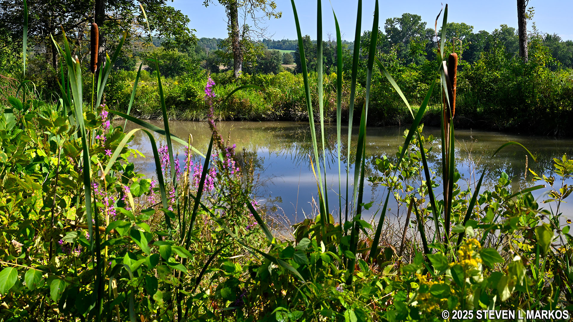
View of the Champlain Canal from the Refugee Trail at Stop 10 on the Saratoga Battlefield Tour, Saratoga National Historical Park
If you have a park brochure with the Saratoga Battlefield Tour map, two trails are shown running parallel to each other. The one on the left (west) is the Refugee Trail, and the one on the right (east) is the towpath. The trails are so small on the printed map that it is impossible to see the blue line representing the canal running between them, so the depiction of the trails side by side is quite confusing. The image below is from a vector-based PDF map that I was able to enlarge enough to show that the canal is actually drawn in on the map.
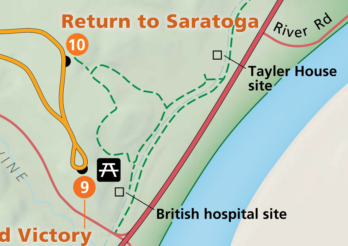
Trails at Stop 10 on the Saratoga Battlefield Tour
A little over a tenth of a mile from the intersection with the paved trail that you came down to start the hike is the intersection with the paved trail that leads back to the top. However, continue straight at this point to get a better view of the canal and to read a few more wayside exhibits about the British retreat, the Indians who lived in the area and fought in the war, and the Champlain Canal itself.
Intersection with the trail that leads back to the top of the bluff at Stop 10 on the Saratoga Battlefield Tour, Saratoga National Historical Park
There are two bridges on this segment of the trail, with the second passing over the Champlain Canal, allowing hikers to get onto the towpath. Back before motorized boats, the towpath was the name of the trail that a canal boat operator (or more typically, the operator’s kids) walked on with a mule to pull the boat up and down the canal. It is on the towpath that visitors to Saratoga National Historical Park can now walk to Schuylerville. The photo below is of the towpath along the Chesapeake and Ohio Canal, which is part of the National Park System.

Example of a towpath along a canal (photo taken at Chesapeake and Ohio Canal National Historical Park)
Once across this bridge, for those who desire to hike to Schuylerville, take a left. To the right and within eyesight is a wayside exhibit about the Champlain Canal. The towpath does continue in this direction as well, but it just leads to the Saratoga National Historical Park entrance road, so there is no reason to walk farther. To compete the 1-mile loop, turn around after reading about the canal and head back the way you came to the paved path that leads back to the top of the bluff at Stop 10.
Southbound Champlain Canal towpath at Saratoga National Historical Park
Northbound Champlain Canal towpath leads to Schuylerville, Saratoga National Historical Park
The hike back to the top is through the forest, so there are no views of the beautiful hillside meadow as there are on the way down. Difficulty wise, just imagine an uphill version of the hike down into the valley. In fact, it may be a little steeper.
Start of the hike on the Refugee Trail back to the top of the bluff at Stop 10 on the Saratoga Battlefield Tour, Saratoga National Historical Park
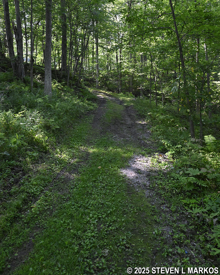
Hike back up to the bluff at Stop 10 on the Saratoga Battlefield Tour is through the forest, Saratoga National Historical Park
When I am at a history-based park, I want to hike trails that expand my understanding of the events that took place. The Refuge Trail does just that, and if the weather is nice and the steep hills do not bother you, the hike is a great way to spend time outdoors and learn something at the same time. There are plenty of informative wayside exhibits along the route, and being able to hike the same terrain as the British did when they retreated leads to a better understanding of the hardships involved in fighting battles during the American Revolution.
Previous Stop | Battlefield Tour Home Page
With a few exceptions, use of any photograph on the National Park Planner website requires a paid Royalty Free Editorial Use License or Commercial Use License. See the Photo Usage page for details.
Last updated on October 18, 2025


