
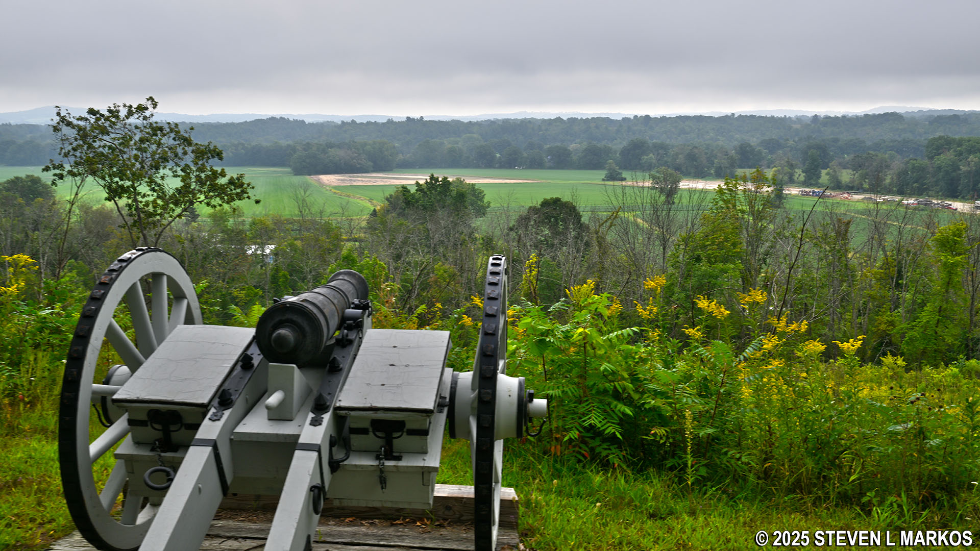
Cannon at the Bemis Heights stop on the Saratoga Battlefield Tour, Saratoga National Historical Park
SARATOGA BATTLEFIELD TOUR
STOP 3: BEMUS HEIGHTS
Allow up to 30 minutes for a visit
Of interesting note is the debate about whether the name of the heights is spelled Bemis, as is common today, or Bemus. According to the great-grandson of the man for whom the heights are named, the correct spelling is Bemus, and this is what the National Park Service uses on its brochures. Per a letter from the great-grandson:
My grandmother and her brothers, who were the children of the Mr. Bemus from whom the Heights were named, always spelled their name Bemus, and she was quite disturbed that the error of Bemis should so commonly and was for many years the oldest person in Saratoga County.
Her brother moved to Chautauqua County, and Bemus Point, on Chautauqua Lake, was named from him.
All his descendants in that county spell the name Bemus, and will on no account spell it otherwise. Another, Matthew Pendergrass Bemus was a member of the New York Assembly from 1868 to 1872 inclusive April 18, 1881.
The third stop on the Saratoga Battlefield Tour is at Bemus Heights (also spelled Bemis), a bluff roughly 100 feet above the Hudson River and a road that ran along side it during the American Revolution (roughly highway US 4 today). This was the location of the right flank of the American battle line designed to stop the British from marching south to Albany. In addition to cannon being placed on the bluffs, American fortifications were built in the valley, blocking travel along the road. The cannon positioned on the bluffs provided excellent protection for the men below, for they could hit any British troops that came marching south long before they came into firing range of the blockaded road.
Note that mosquitos were a huge problem at the Bemis Heights stop during my late August trip. In fact, all wooded areas within the park were filled with the pests. Other than the Everglades, I don’t recall any place I visited on the east coast of the United States having more mosquitoes than the forests at Saratoga National Historical Park.
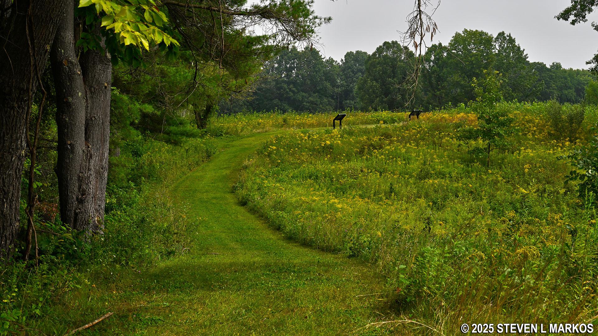
A paved path runs left and right from the tour stop parking lot. The path to the left forms a .3-mile loop, and along the way is a ratchet hoist exhibit. This was used for lifting artillery pieces so they could be mounted onto carriages or placed into wagons.
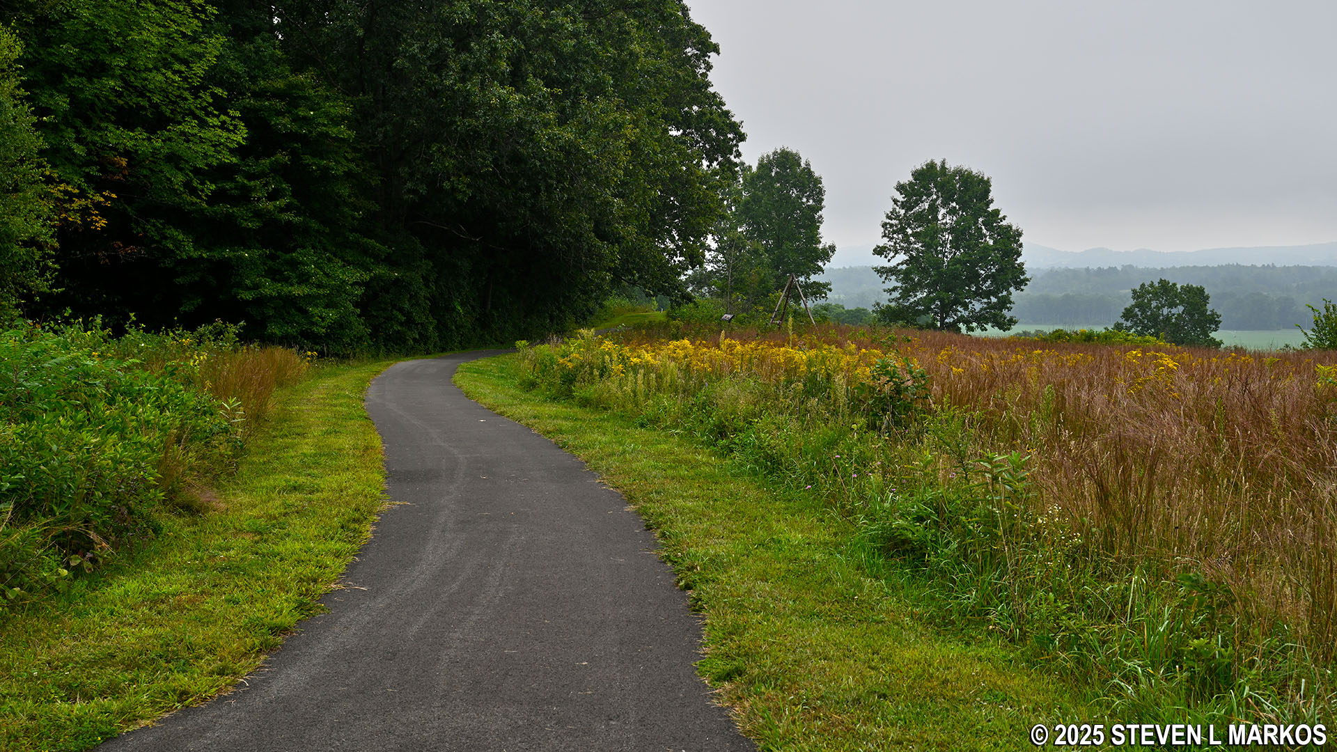
Paved path leads to exhibits at the Bemus Heights stop on the Saratoga Battlefield Tour, Saratoga National Historical Park
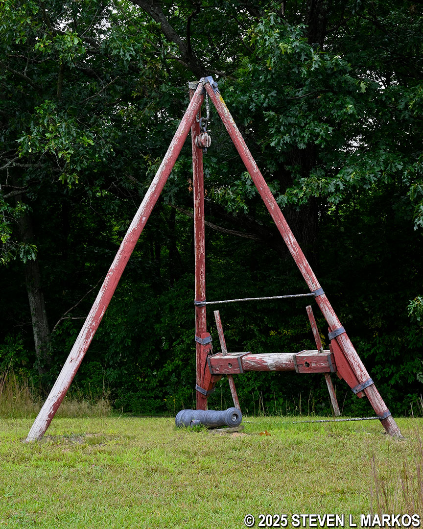
Ratchet hoist exhibit at the Bemus Heights stop on the Saratoga Battlefield Tour, Saratoga National Historical Park
At the far end of the loop is a short dirt path that leads to a cannon overlooking the Hudson River Valley. White posts with blue tops mark the location of the American defensive fortifications, which were comprised of trenches and earthen walls reinforced by logs and other materials. The fortifications ran from Bemus Heights to the Neilson Farm a couple miles to the west. Note that as you tour the battlefield, you will also see red-topped posts. These mark the locations of British fortifications (and they are generally found at the northern end of the park).
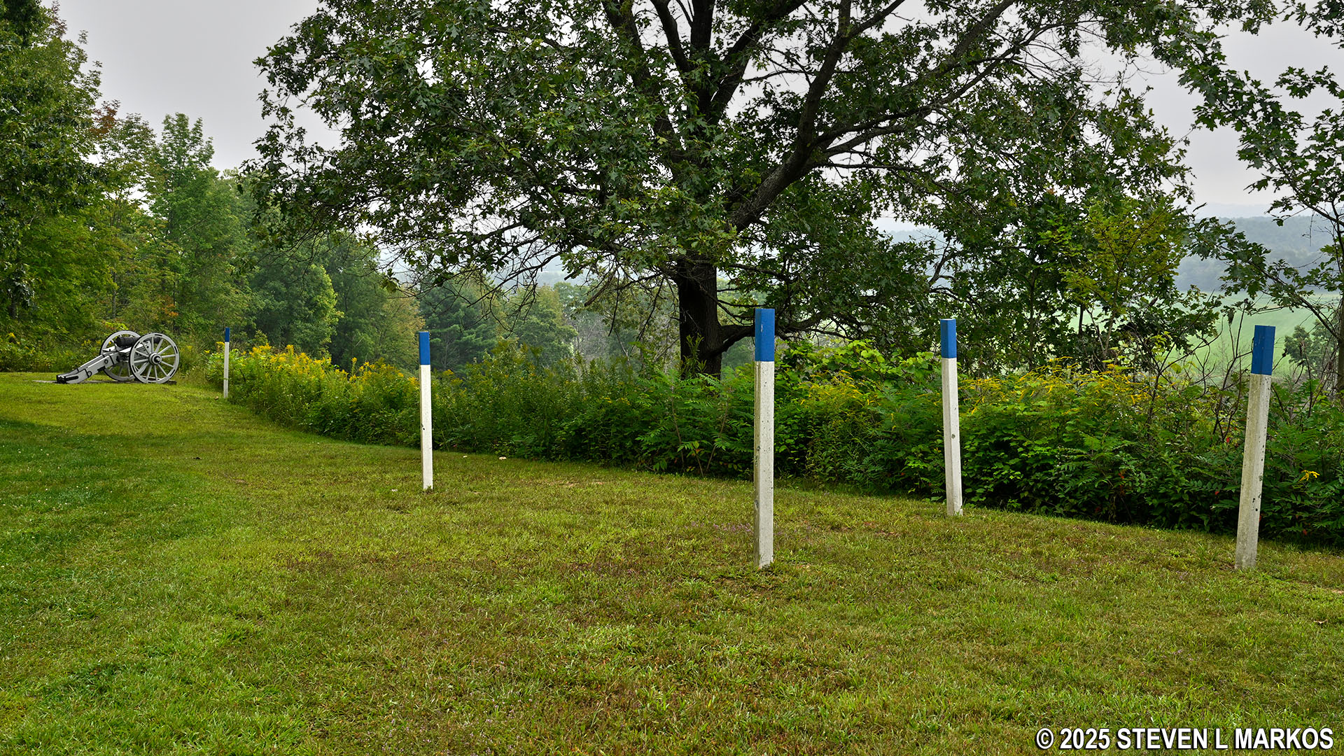
Grass path leads to a cannon exhibit at the Bemus Heights stop on the Saratoga Battlefield Tour, Saratoga National Historical Park
If the British had continued marching along the riverside road towards Albany, they would have passed directly below the cannon positioned on the bluffs at Bemus Heights. Realizing this, British general John Burgoyne decided to move the bulk of his army west, away from the river, in an attempt to march around the fortifications at the Nielson Farm. In doing so, his men ran into American troops at the Freeman Farm nearly two miles to the northwest of Bemus Heights. This encounter touched off the first battle in the Saratoga area on September 19, 1777, the Battle of Freeman’s Farm. The small contingency of British troops that continued along the road never made it to Bemus Heights, for they were quickly called to the farm to join the battle (and they were the deciding factor in the British victory). In fact, despite the second battle (October 7th) being called the Battle of Bemus Heights, no fighting ever took place anywhere near Bemus Heights. The October 7th battle also took place in the Freeman Farm area.
The paved path loops back around to the parking lot and continues to the right, passing a few wayside exhibits and two more displays of cannon. The posts on either side of the cannon mark gaps in the defensive wall called embrasures: openings from which the cannon could fire through. The second photo below, from Valley Forge National Historical Park, is a modern reproduction of a typical American Revolution-era fortification. The wood barrier in the photograph, which looks like milled lumber from Home Depot, is much nicer than the raw logs cut freshly from the forest that were used during the American Revolution.
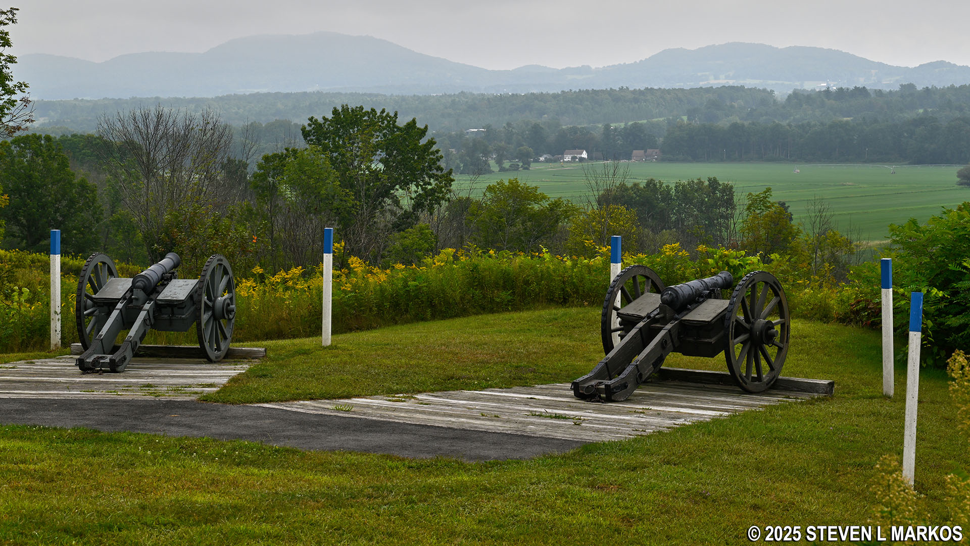
Cannon at Bemus Heights overlook the Hudson River Valley below, Saratoga National Historical Park

Reproduction of a typical American Revolution-era fortification at Valley Forge National Historical Park
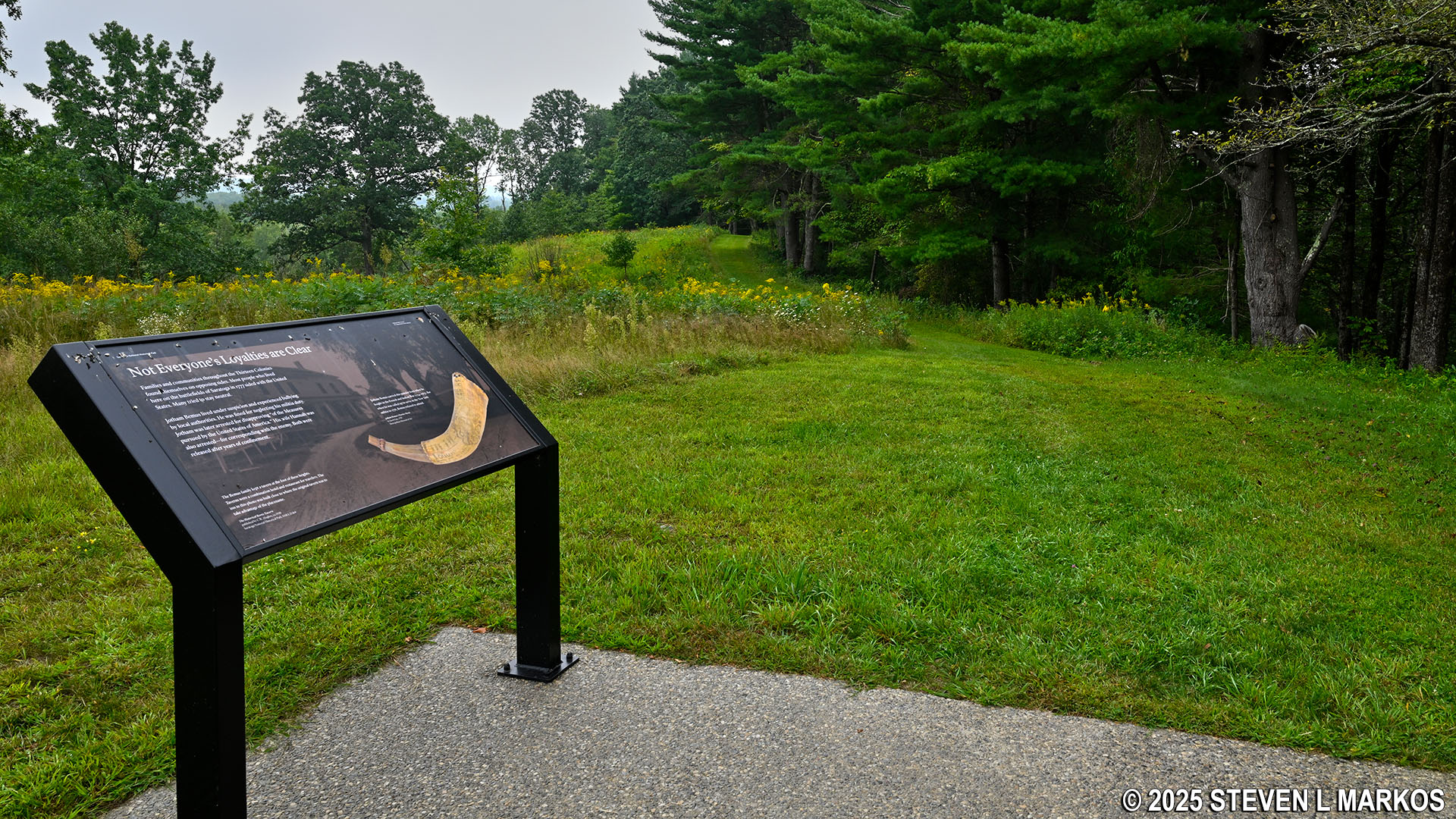
At the end of the paved path is a dirt trail that leads to the location of the South Redan. A redan is a triangular-shaped fort with its point sticking out into the area of battle. The triangular shape allows occupying troops to fire into the flanks (far left and right sides) of an oncoming army.
Grass trail that leads to the South Redan begins at the end of the paved path at the Bemus Heights stop on the Saratoga Battlefield Tour, Saratoga National Historical Park
The South Redan no longer exists, and it is a .3-mile round trip walk along a fairly level grass trail (there is a small dip at the end), so the detour may only be of interest to history buffs or those who just want more exercise. Overall, plan to walk about a mile at the Bemus Heights tour stop if you visit all the attractions.
Grass trail leads to the location of the former South Redan at the Bemus Heights stop on the Saratoga Battlefield Tour, Saratoga National Historical Park
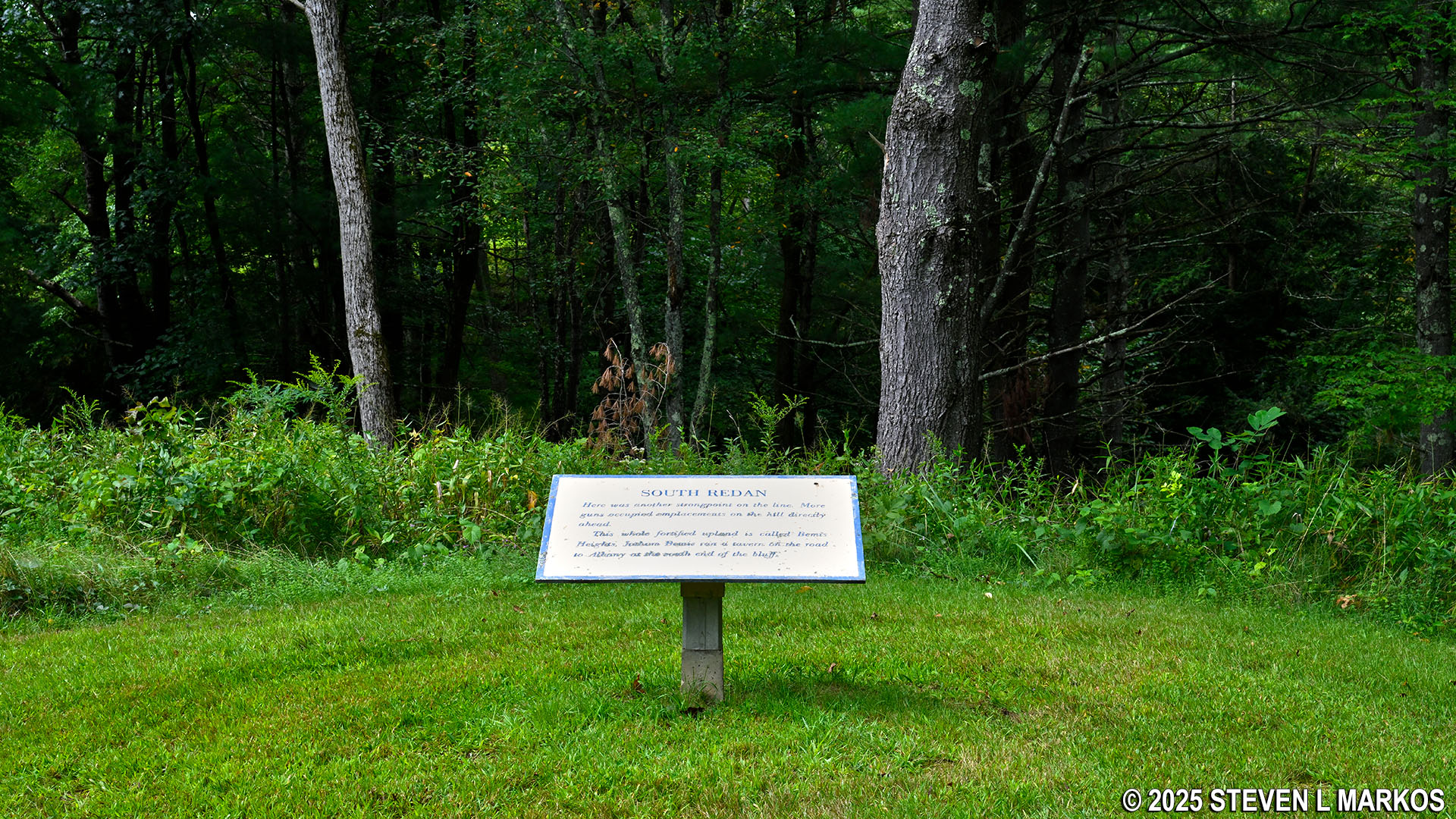
Sign marks the location of the former South Redan at Bemus Heights, Saratoga National Historical Park
Next Stop | Previous Stop | Battlefield Tour Home Page
With a few exceptions, use of any photograph on the National Park Planner website requires a paid Royalty Free Editorial Use License or Commercial Use License. See the Photo Usage page for details.
Last updated on April 7, 2026


