
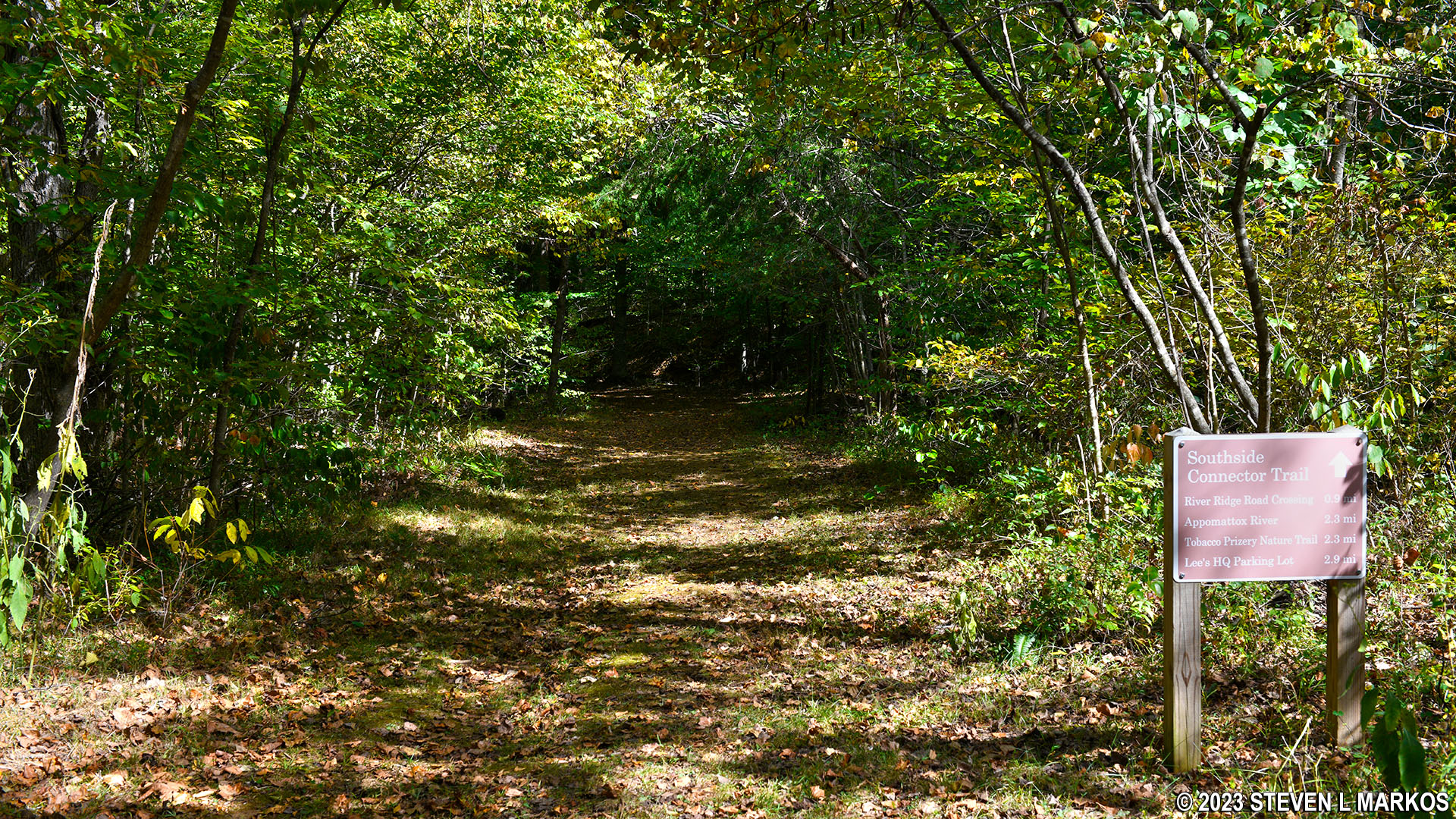
Southern trailhead of the Southside Connector Trail at Appomattox Court House National Historical Park
See the Hiking Trails page for a trail map.
Length: 2.4 miles
Time: 1.5 hours (one way)
Difficulty: Moderate with one very steep hill
The Southside Connector trail is a 2.4-mile out-and-back trail that connects to the Grant’s Approach Trail at the southern end of Appomattox Court House National Historical Park and to the Tobacco Prizery Nature Trail on the northern end. You must hike partway around one of these two loop trails to even reach it.
The only reason to hike the Southside Connector is to go on a long hike. Assuming you don’t have a ride waiting at one end, a hike that incorporates all three trails is roughly 7.5 miles long. I started on the southern end, hiking halfway around Grant’s Approach Trail and then taking the Southside Connector Trail north. This review is written from that perspective.
Trail maps for Appomattox Court House National Historical Park are usually available at each trailhead, but just in case the brochure box is empty, you can also pick one up at the Visitor Center. Once on the trails, you don’t really need the map because they are very well marked. There is directional signage at every turn, even if there is only one possible way to go.
I started the Grant’s Approach Trail hike in the counterclockwise direction, heading into the woods from the right side of the parking lot at the North Carolina Monument stop on the Appomattox Court House Battlefield Tour. This route passes the North Carolina Monument after .2 mile and comes to the intersection with the Southside Connector Trail in .8 mile. At the intersection, there is only a sign pointing left towards Grant’s Approach Trail, but stay right at the fork to get on the Southside Connector. There is a sign for the Southside Connector, but you can’t see it until going around the corner.
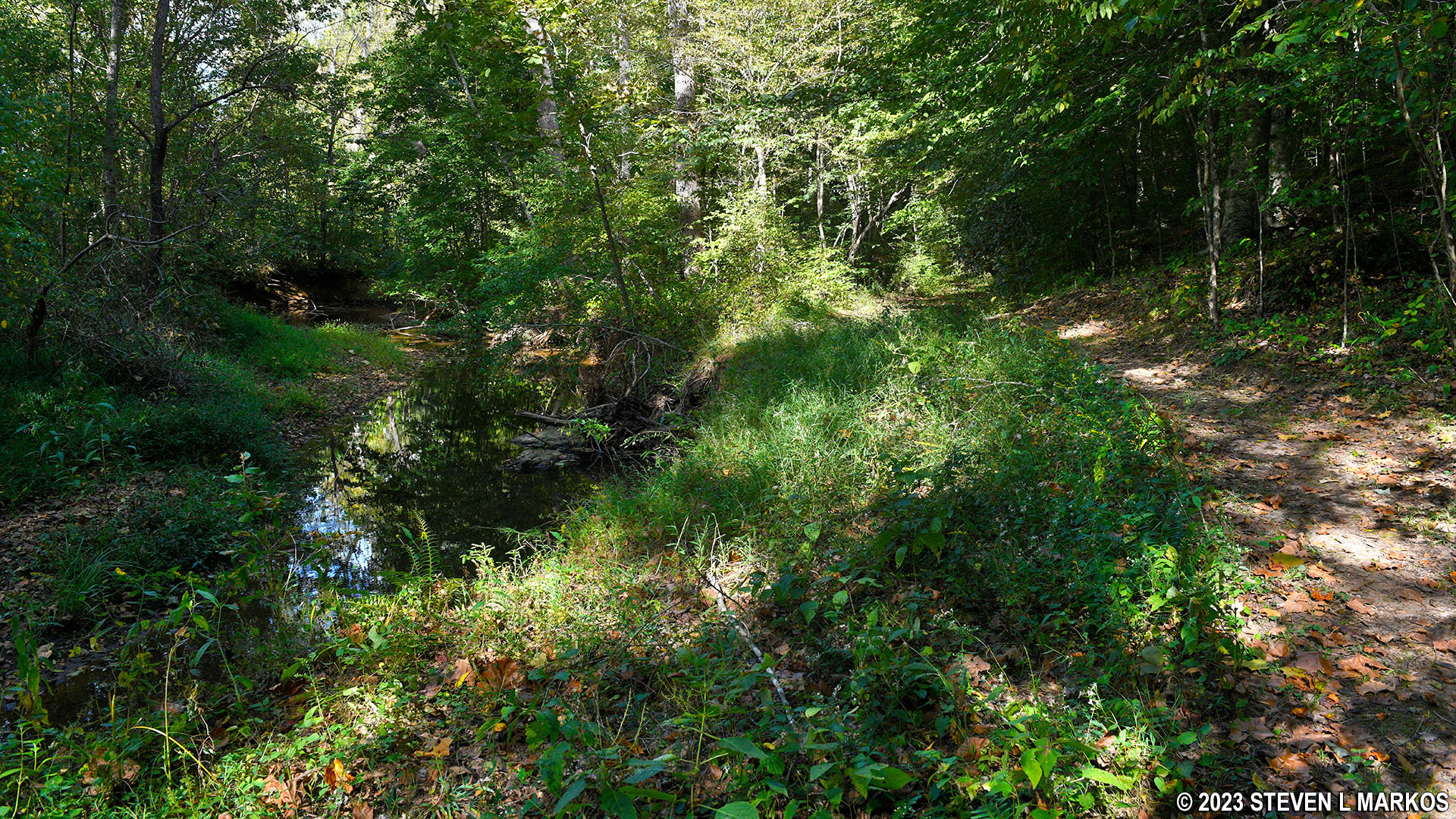
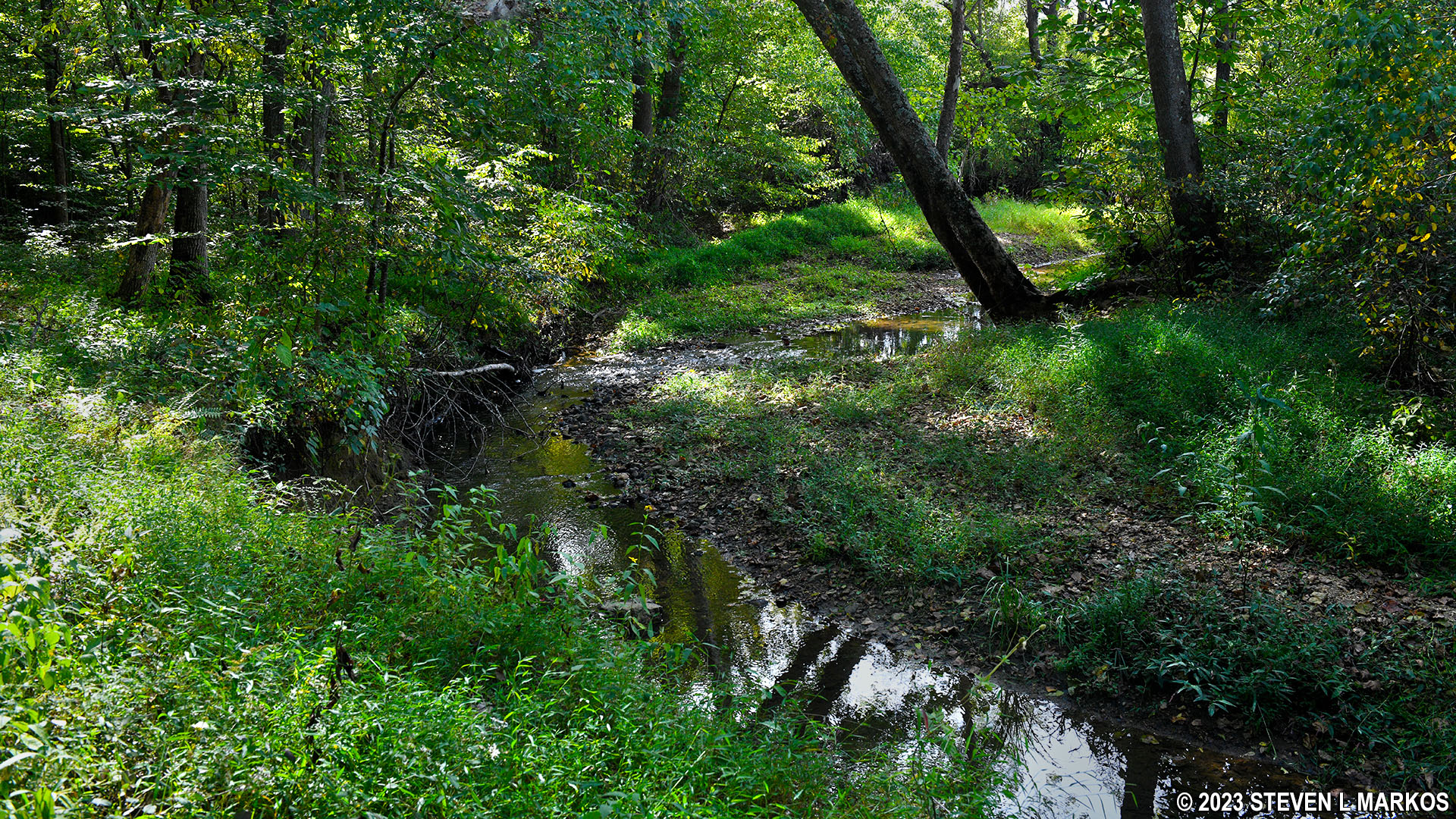
The Southside Connector starts off by following Plain Run, a small creek that connects to the Appomattox River farther north. The trail runs along the creek for a very short time before crossing over it and veering away to the east.
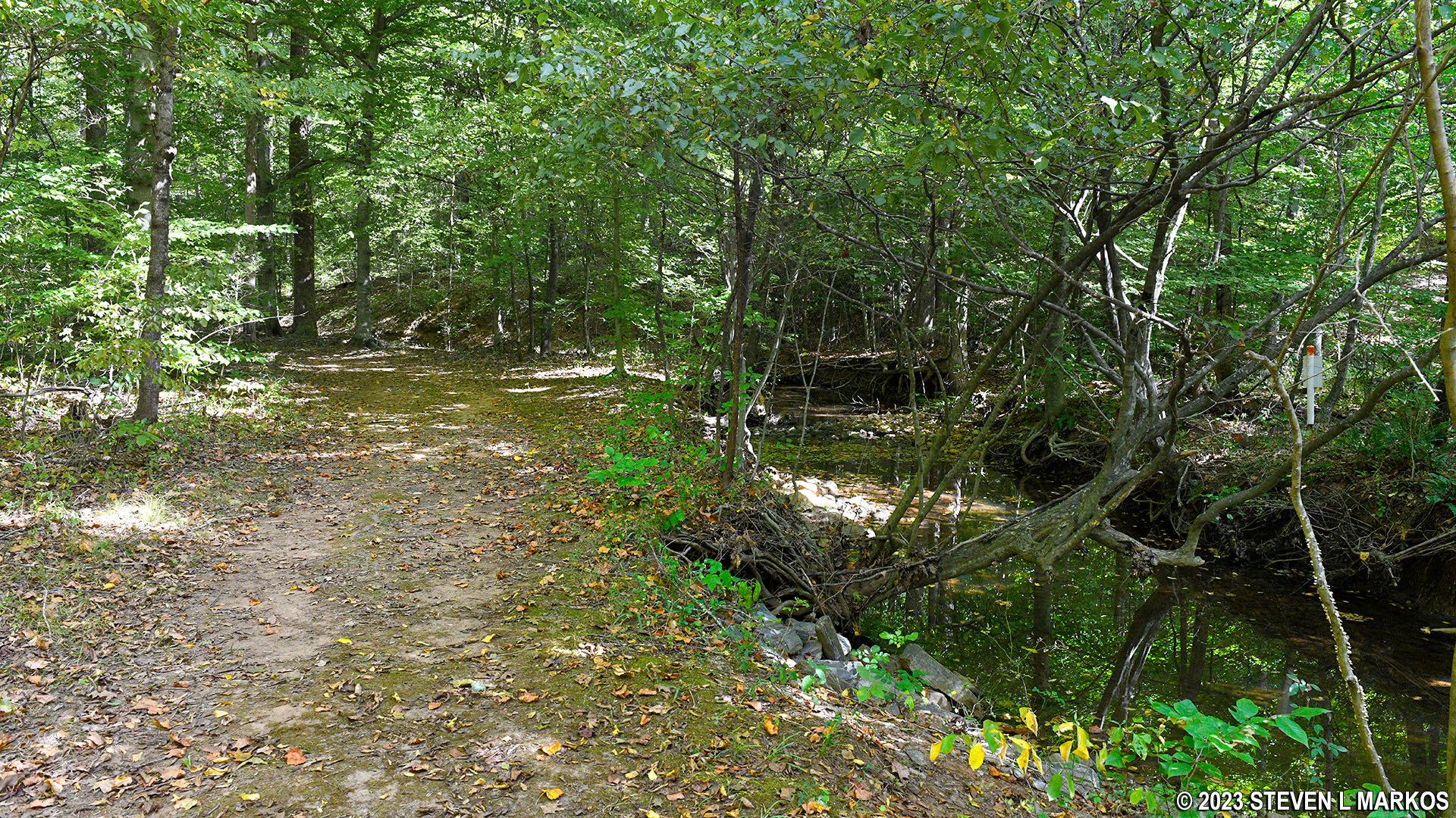
Southside Connector Trail follows Plain Run at its southern end, Appomattox Court House National Historical Park

Southside Connector Trail turns east and crosses Plain Run at its southern end, Appomattox Court House National Historical Park
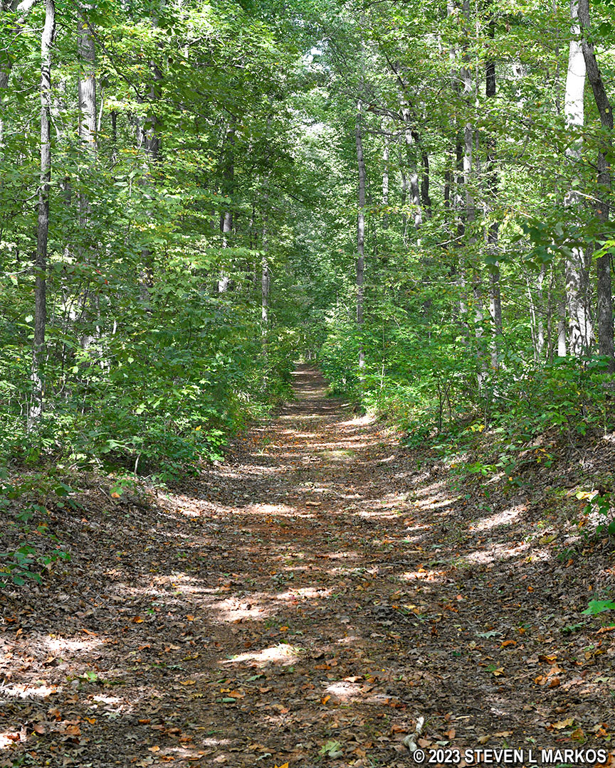
Just after crossing Plain Run is a fairly steep hill to climb, though it doesn’t last long. Once at the top there is an equally short downhill stretch, and after that it’s pretty much uphill for the next half mile. According to the National Park Service, the Southside Connector Trail is the only trail within Appomattox Court House National Historical Park that is not easy. They rate it as moderate, and I agree. The hills aren’t that steep, but they are certainly the biggest hills in the park.
Hilly terrain at the southern end of the Southside Connector Trail at Appomattox Court House National Historical Park
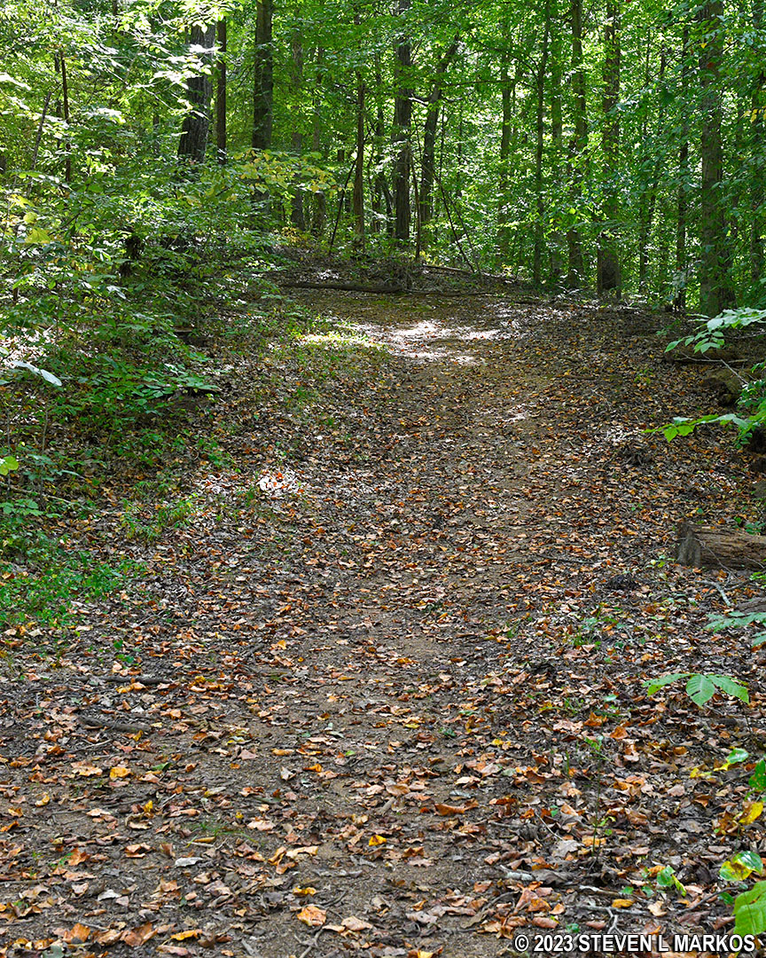
If you have a trail map, the crest of the hill comes at the point where the Southside Connector turns north. There is a bench at this point, which is marked with a B on the map. From this point until the trail turns northeast at River Ridge Road, the hike is downhill. The trail itself remains a wide path even through the forest.
Typical terrain at the southern end of the Southside Connector Trail at Appomattox Court House National Historical Park
Just before crossing River Ridge Road is the spot where Confederate captain R. M. Sims met the Union Cavalry while carrying the first flag of truce. The flag was nothing more than a household towel. Parts of it are now on display at the museum inside the park’s Visitor Center. If you are wondering why the two sides would have met in the middle of the forest, in 1865 nearly all of this was farmland. The forest only started growing when the farmers left in the 1920s due to poor soil conditions, a result of years of planting the same crops.
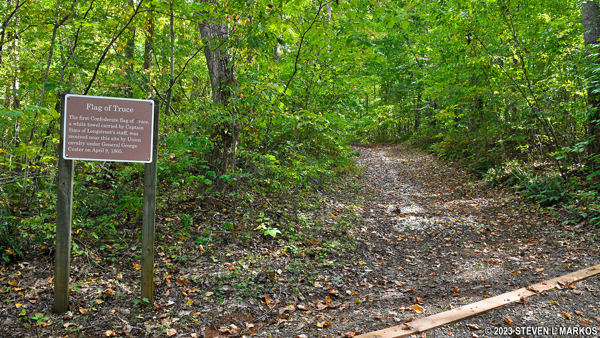
Flag of Truth meeting spot on the Southside Connector Trail at Appomattox Court House National Historical Park
The River Ridge Road crossing comes one mile from the start of the Southside Connector (1.8 miles from the parking lot). The trail continues on the right side of the guardrail.
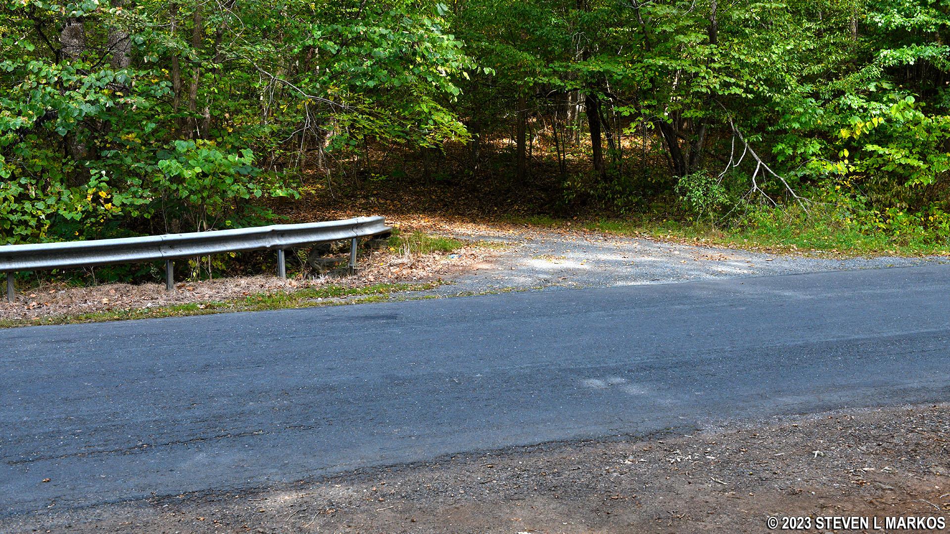
Intersection of the Southside Connector Trail and River Ridge Road, Appomattox Court House National Historical Park
Not far past the road, the Southside Connector begins uphill once again, cresting .6 mile away. On the map, this is where the final bench is located on the trip north.
Just beyond the last bench, the trail begins a steep .2-mile descent to the Appomattox River. This is the steepest hill in the park, and remember, you must climb back up on the return trip. It is tippy-toe steep in some places, which is when you have to push off on the balls of your feet to move forward.
North end of the Southside Connector Trail runs along the Appomattox River, Appomattox Court House National Historical Park
Appomattox River in Appomattox Court House National Historical Park
Once at the river, which is nothing more than a creek at this point, the trail narrows into a more traditional hiking trail. Towards the end is a boardwalk to keep hikers out of the mud, as this area is frequently underwater.
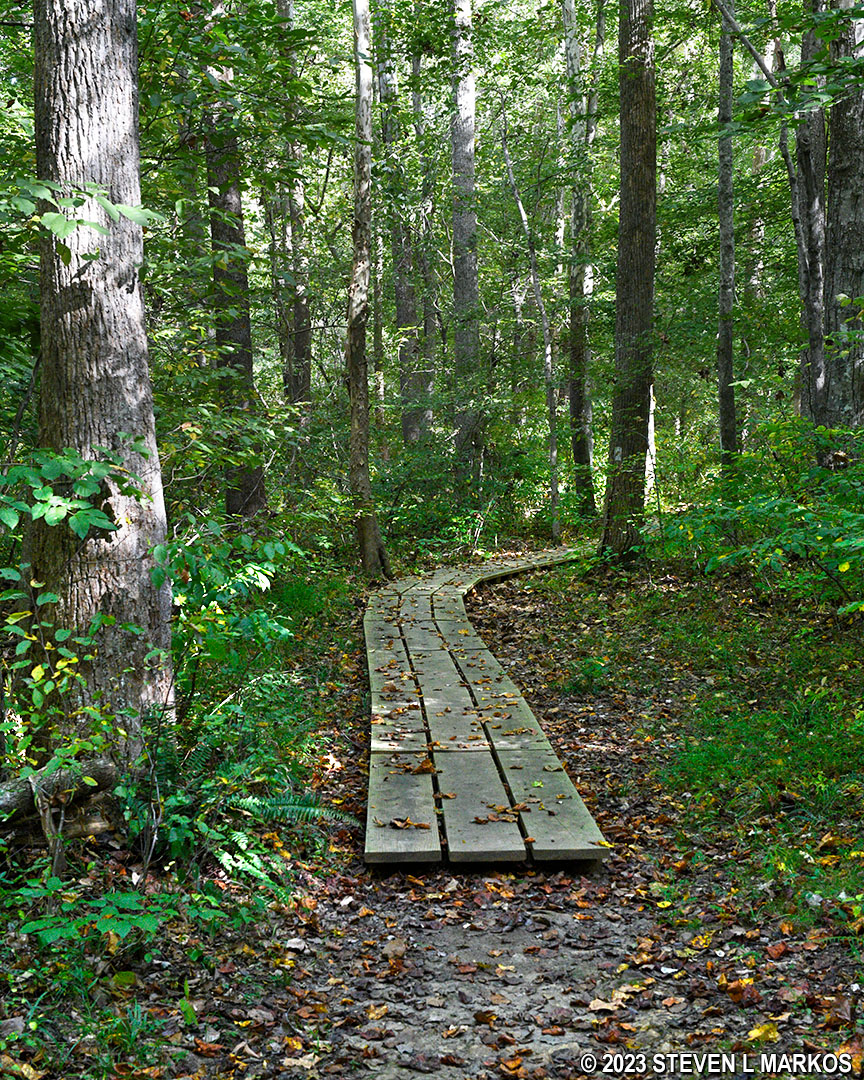
Boardwalk segment on the north end of the Southside Connector Trail at Appomattox Court House National Historical Park
Just before coming to the end, the Southside Connector Trail crosses over the Appomattox River on a cement bridge, which is sort of a neat feature.
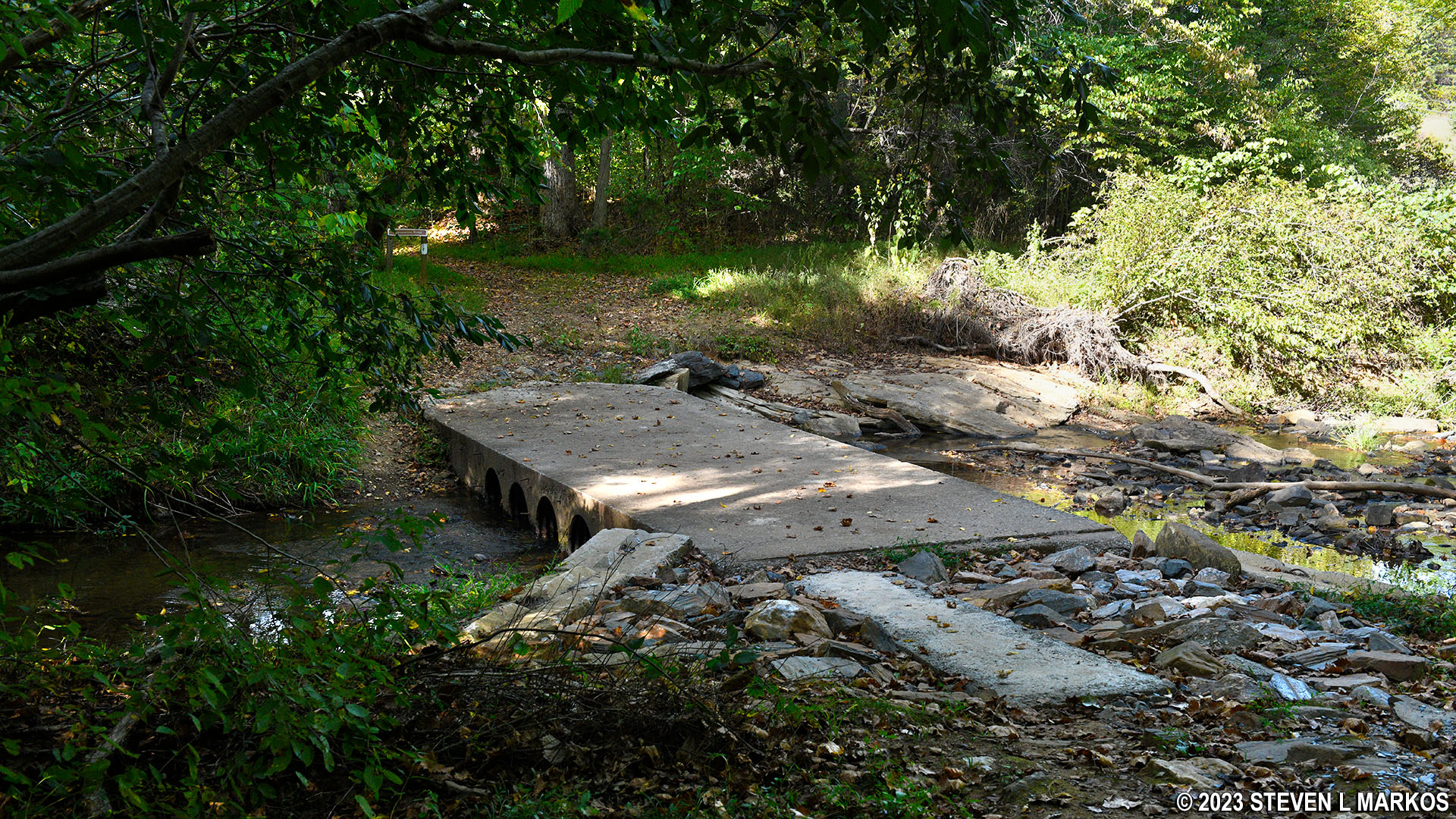
Southside Connector Trail crosses the Appomattox River via a cement footbridge, Appomattox Court House National Historical Park
Not long after crossing the river is a sign marking the site of the former Sweeney Mill and Dam. The sign claims that remnants of the dam are in the woods behind the sign, but I walked back there and didn’t see anything. There is a faint trail, but it quickly gets overgrown. Fearing ticks, I didn’t go any farther, as that would take some bushwhacking. If I had been there in the late fall or winter when the vegetation had died off, I might have kept searching.
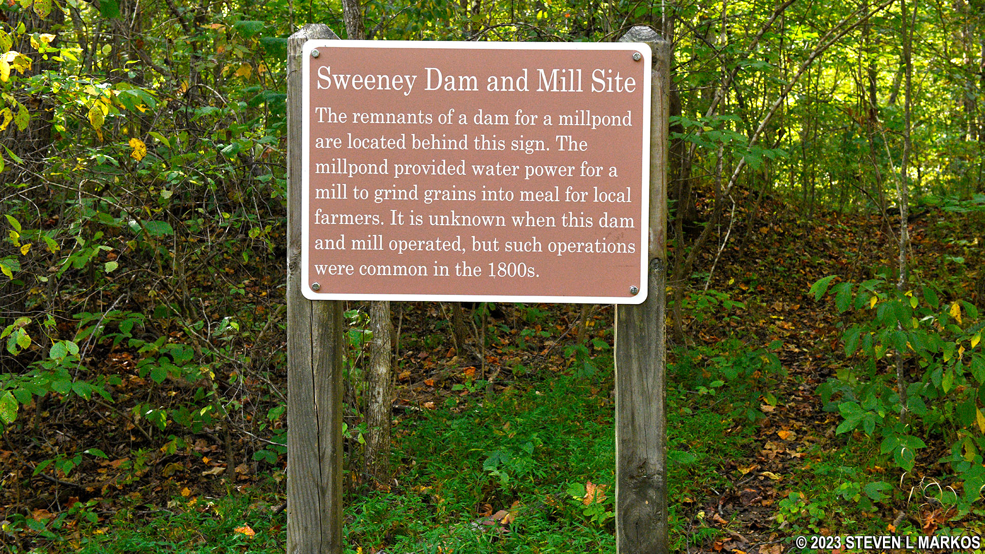
Site of the Sweeney Dam and Mill on the Appomattox River, Appomattox Court House National Historical Park
The Southside Connector Trail ends after 2.4 miles at the Tobacco Prizery Nature Trail.
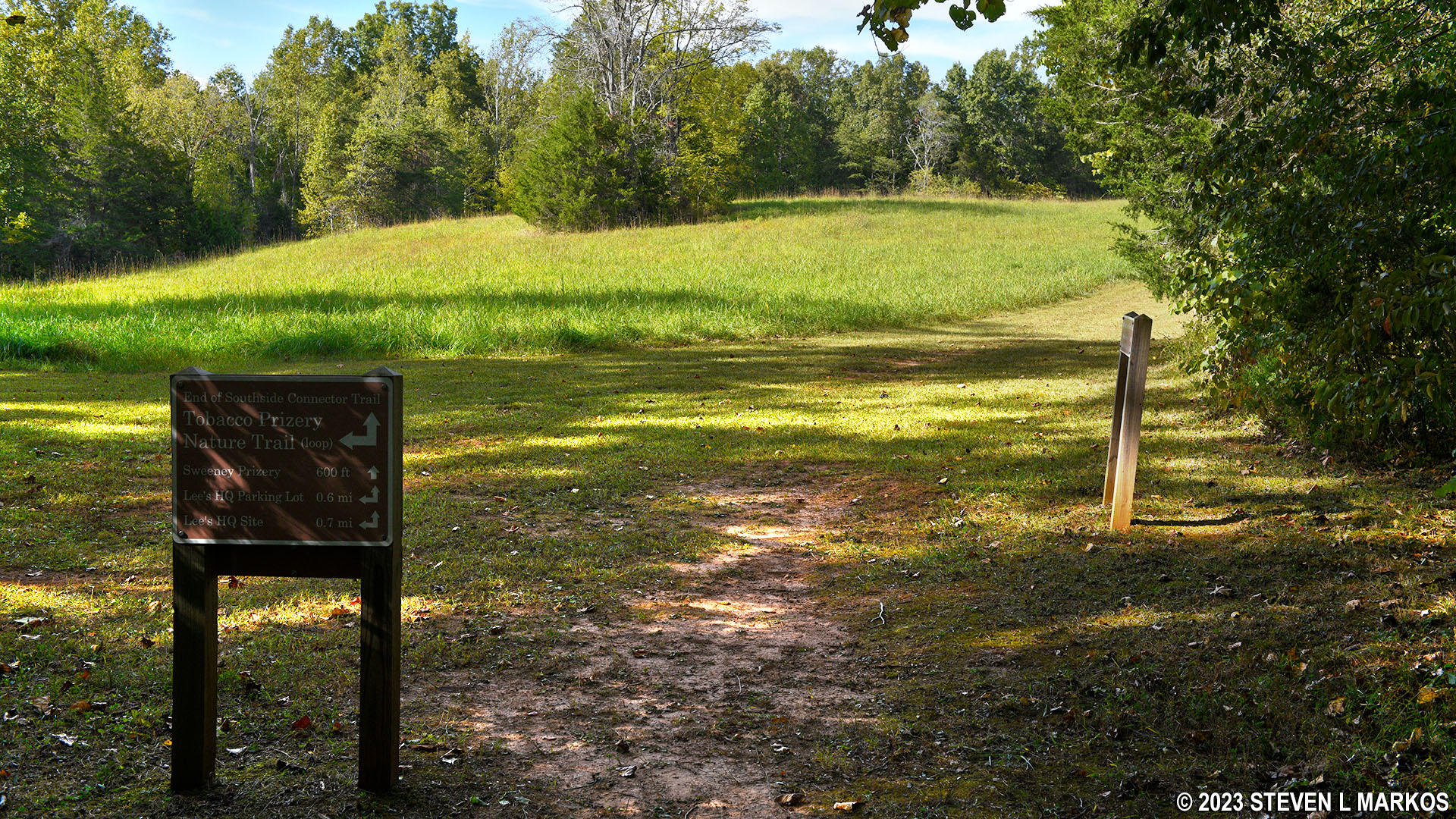
Northern trailhead for the Southside Connector Trail at the Tobacco Prizery Nature Trail, Appomattox Court House National Historical Park
With a few exceptions, use of any photograph on the National Park Planner website requires a paid Royalty Free Editorial Use License or Commercial Use License. See the Photo Usage page for details.
Last updated on June 29, 2023


