

Tibbs Trail at Appomattox Court House National Historical Park
See the Hiking Trails web page for a trail map.
Length: 1.3 mile
Time: 45 minutes
Difficulty: Easy with one minor hill
The easiest place to start a hike on the Tibbs Trail at Appomattox Court House National Historical Park is at the Confederate Cemetery. This is within walking distance of the Appomattox Court House town site, the main attraction in the park. The cemetery has its own parking lot, so driving to the trailhead is an option as well.

Confederate Cemetery at Appomattox Court House National Historical Park
The cemetery is also the location for the western trailhead of the Stage Road Trail (.9 mile long), the dirt road remnant of the historic Richmond-Lynchburg Stage Road that passes through the town. Depart to the east from the cemetery and you are on the Stage Road Trail; depart to the west and you are on the Tibbs Trail.
The Tibbs Trail’s eastern trailhead is northeast of the Appomattox Court House town site at Highway 24. This is also where the eastern trailhead for the Stage Road Trail is located, making it a no-brainer to combine the trails into a loop hike of 2.2 miles. In fact, combining them is the only logical way to do the hike, for who wants to walk out and back on the Tibbs Trail and see the same things twice? Besides, returning on the Stage Road Trail is shorter by a third of a mile.
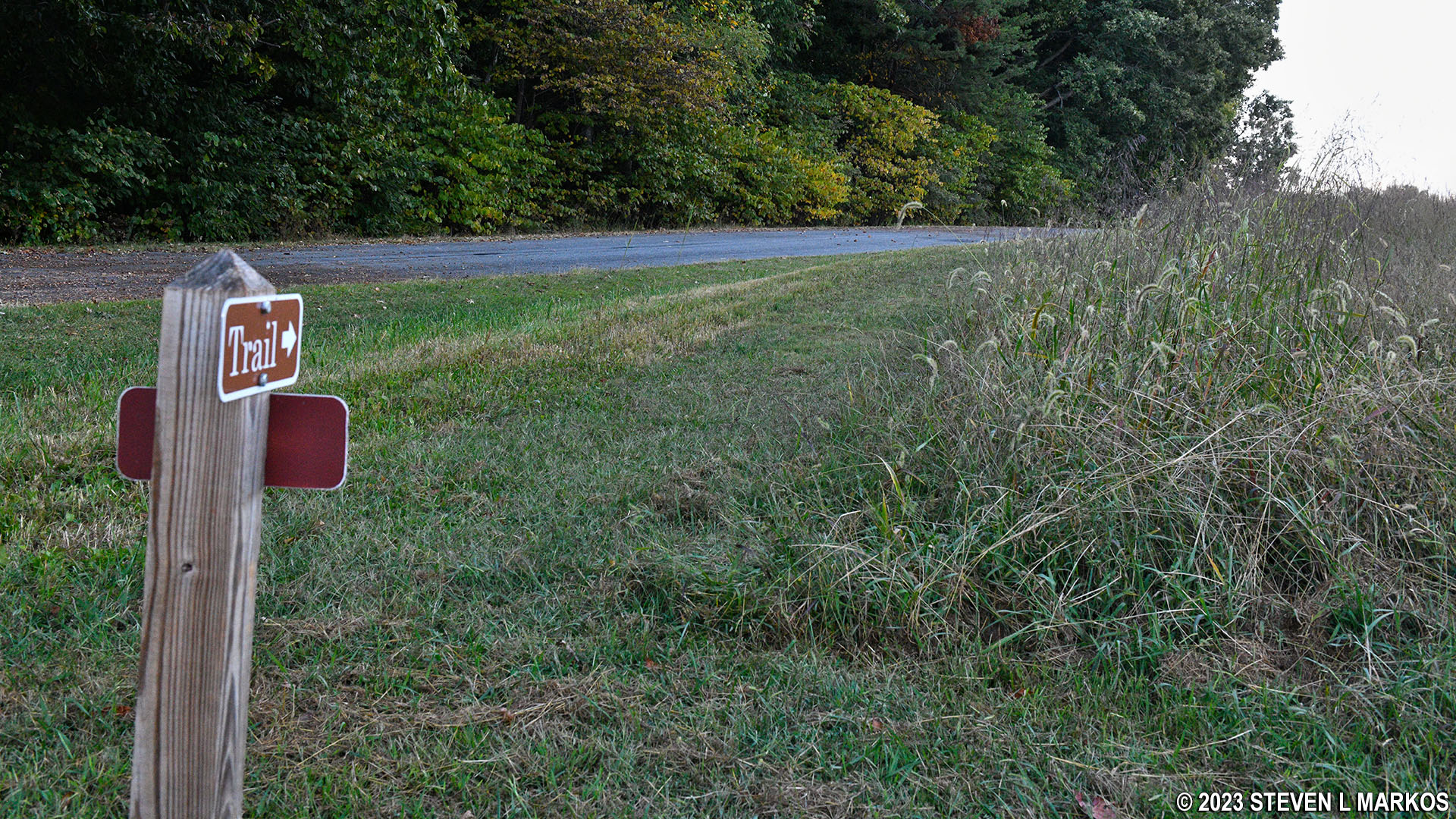
A trail map is available at the Visitor Center, so be sure to pick one up before starting any hikes in the park. Once on the Tibbs Trail, you don’t really need the map because the trails are very well marked. There is directional signage at every turn, even if there is only one possible way to go.
While I hiked both trails as a loop, this report covers only the Tibbs Trail. See the Stage Road Trail report for details on that hike.
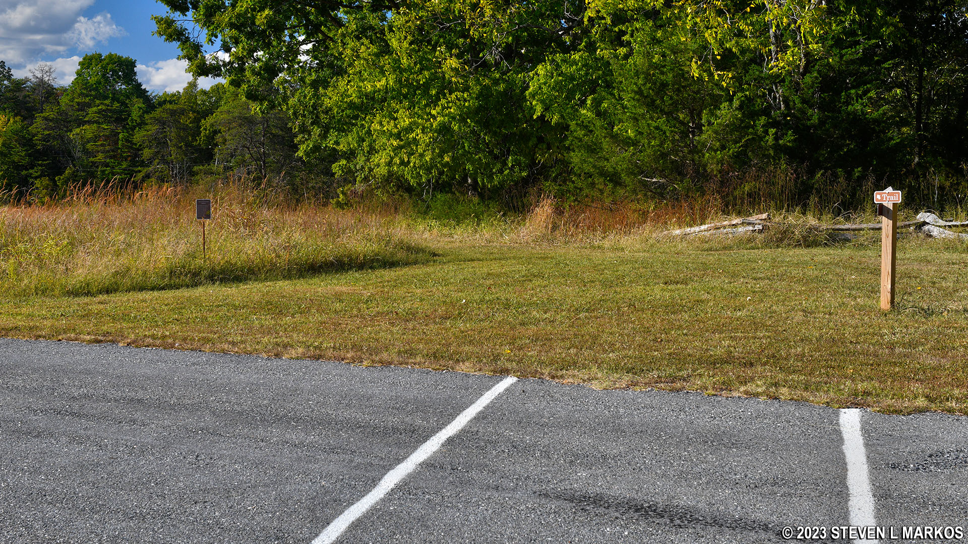
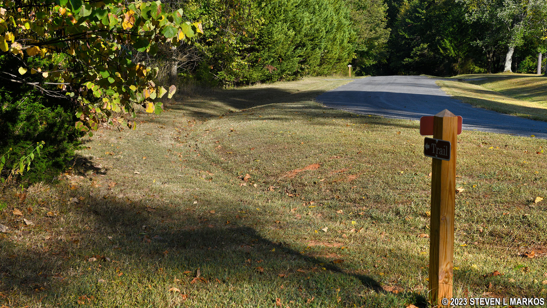
From the Confederate Cemetery parking lot, look for a gap in the wooden fence that allows you to get onto the trails without jumping the fence. The gravel Stage Road Trail peters out at this very location, turning to grass as you head west on the Tibbs Trail. A directional sign is at the gap.
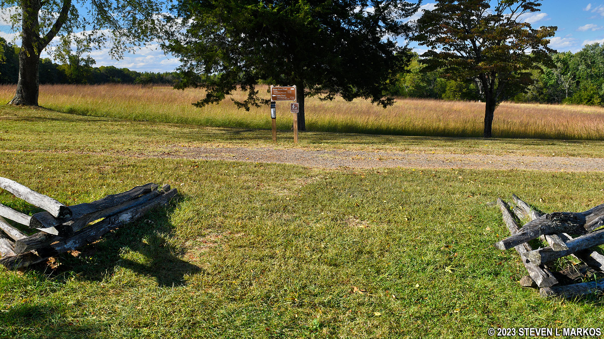
Western end of the Tibbs Trail starts at the Confederate Cemetery, Appomattox Court House National Historical Park
Within eyesight of the cemetery is a cannon and caisson (artillery supply wagon) that marks the position of Union lieutenant James Lord’s two-gun artillery battery. Accompanied by the 1st Maine Cavalry commanded by General Charles Smith, the two arrived at this location early in the Battle of Appomattox Court House and blocked the Richmond-Lynchburg Stage Road, Lee’s route to the railroad junction at Appomattox Station two miles to the west. Lord’s position was overrun, and the Confederates captured both of his cannon. However, his blocking the road delayed the Confederate advance, allowing more Union troops to arrive into the area.
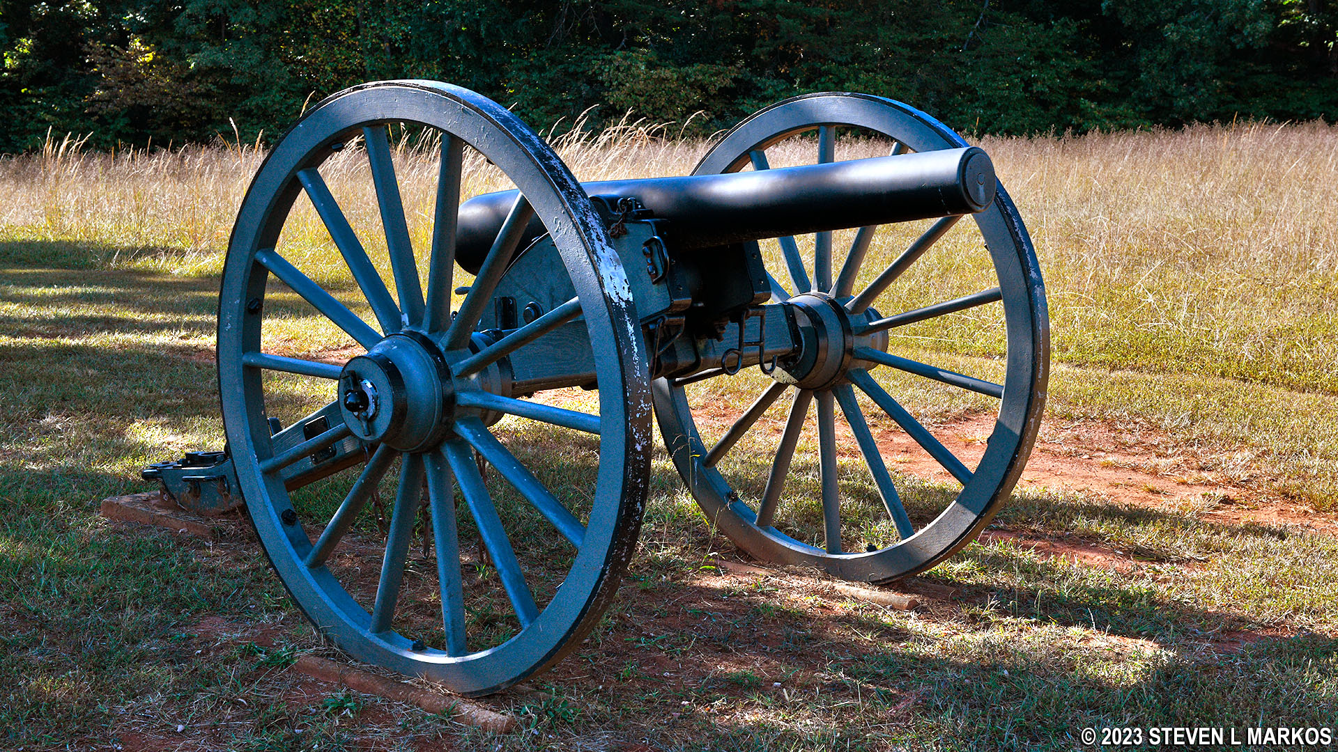
Cannon at the Confederate Cemetery marks the position of Union Lieutenant James Lord’s Battery A, Appomattox Court House National Historical Park
Just beyond the cannon, the Tibbs Trail turns to the north and follows a paved road, Gordon Drive.
Western end of the Tibbs Trail follows along Gordon Drive, Appomattox Court House National Historical Park
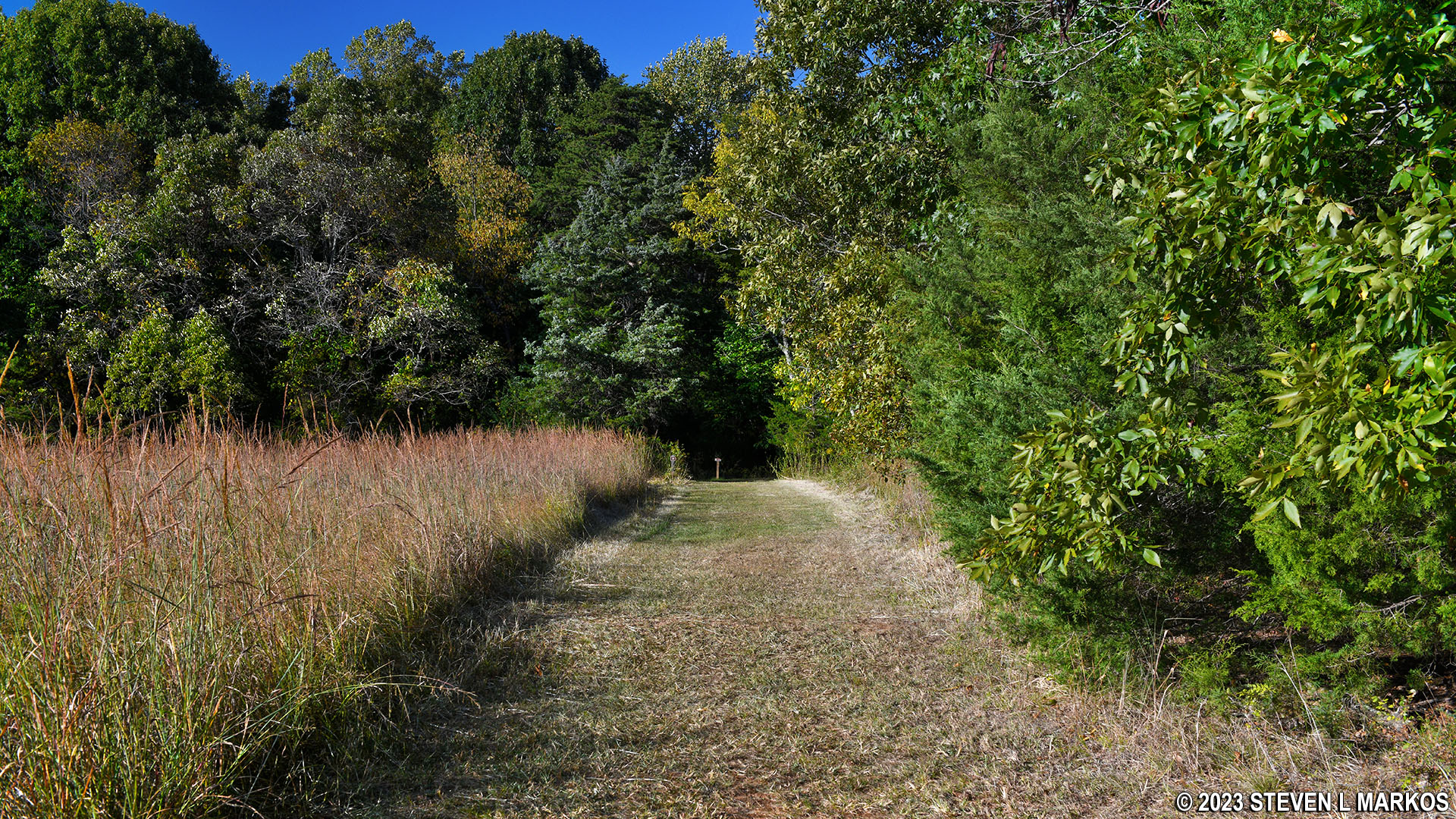
After .2 mile along the road, the trail forks off to the right and passes through an open field on a mowed grass path. The terrain is flat and easy to walk. If you have a copy of the trail map, white areas are open fields while green areas are the forest.
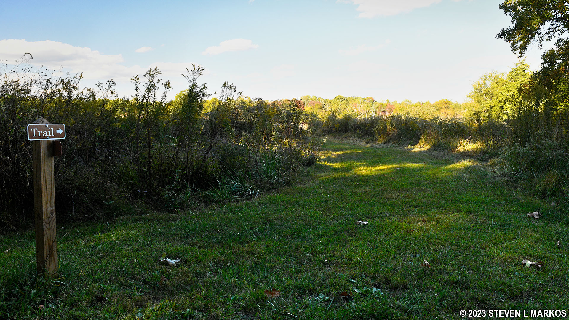
Western end of the Tibbs Trail veers from Gordon Drive and passes through a field, Appomattox Court House National Historical Park

West side of the Tibbs Trail passes through a field, Appomattox Court House National Historical Park
After .2 mile of walking through the field, the Tibbs Trail crosses Gordon Drive, skirts the forest for another tenth of a mile, then cuts through the forest on a wide grass trail that follows a path cut for telephone poles. While there is more shade than on the open field, when the sun is directly above, it will still be beating down on you.
Intersection of the Tibbs Trail and Gordon Drive, Appomattox Court House National Historical Park
Tibbs Trail runs between a field and the forest at its northwest corner, Appomattox Court House National Historical Park
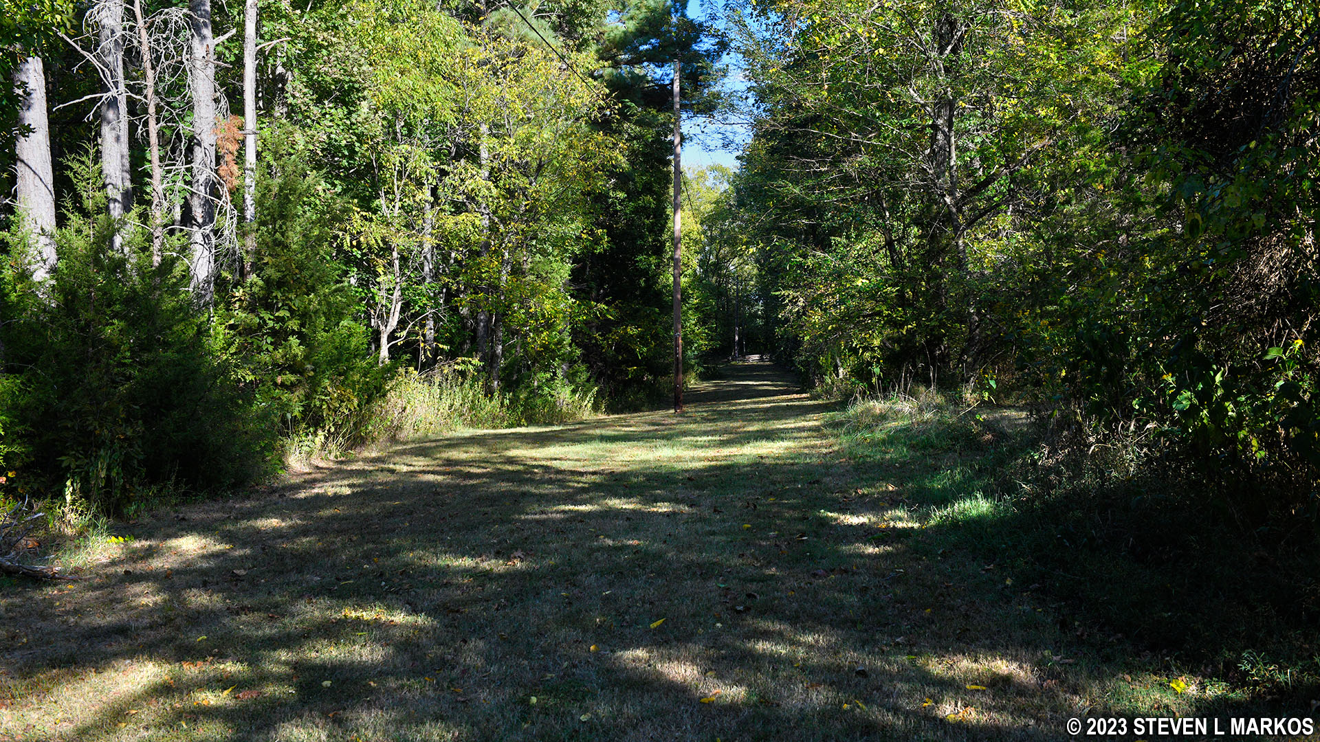
Forested section of the Tibbs Trail at its northwest corner, Appomattox Court House National Historical Park
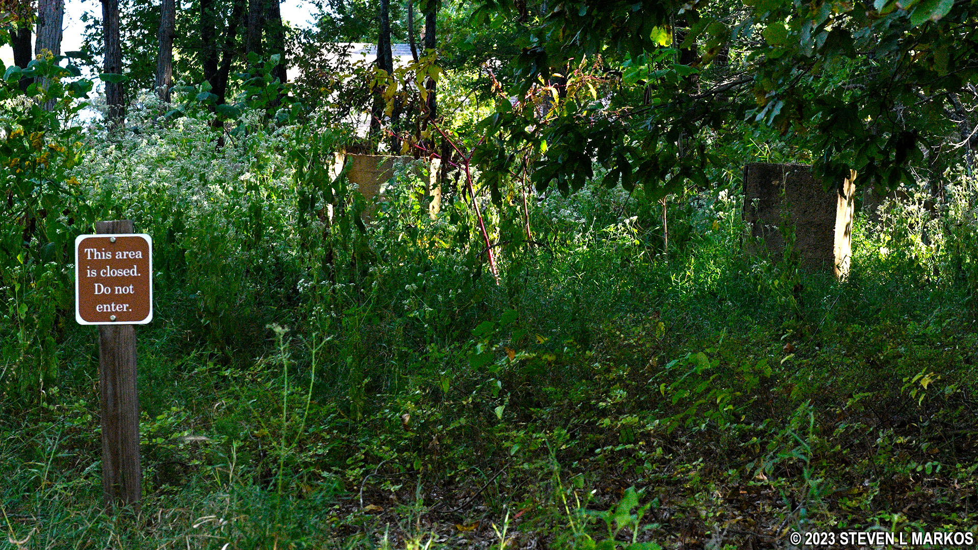
The Tibbs Trail makes a right turn, still in the forest, and shortly thereafter arrives at the site of the former Tibbs House (prior to this is a foundation of some other building). The house was built in the 1840s. During the Battle of Appomattox Court House, the right flank of the Confederate line was positioned in this area. One of the soldiers was Thomas Tibbs, son of the property owner, so he ended his years in the Confederate army fighting a battle on his own property. The house was torn down by a private owner in the late 1960s. At that time the land was not part of Appomattox Court House National Historical Park.
The Tibbs House ruins are marked with a sign. The ruins themselves are closed off and are now overgrown. Even if the area wasn’t closed, I’d have no interest in bushwhacking my way to the structure, as I might as well just jump into a bed of ticks.
Ruins of the Tibbs House at Appomattox Court House National Historical Park

Building foundation near the Tibbs House ruins at Appomattox Court House National Historical Park

Old photo of the Tibbs House at Appomattox Court House National Historical Park
Not far beyond the Tibbs House, the trail comes back out onto Gordon Drive and into a neighborhood. Turn left and follow the road for a short distance until the pavement ends just up ahead.
Northern intersection of the Tibbs Trail and Gordon Drive at Appomattox Court House National Historical Park
While the pavement ends, the road continues as a dirt road. This is the Tibbs Trail.
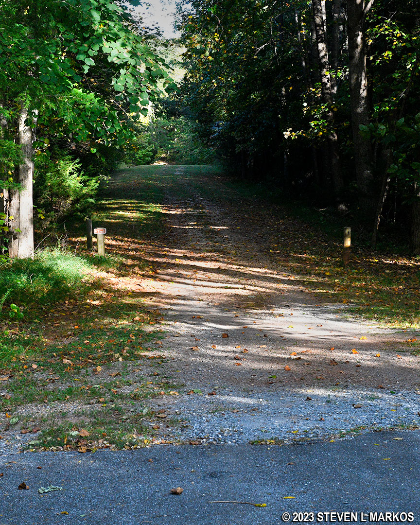
Tibbs Trail continues as a gravel road at the end of Gordon Drive, Appomattox Court House National Historical Park
Terrain on the north-central section of the Tibbs Trail at Appomattox Court House National Historical Park
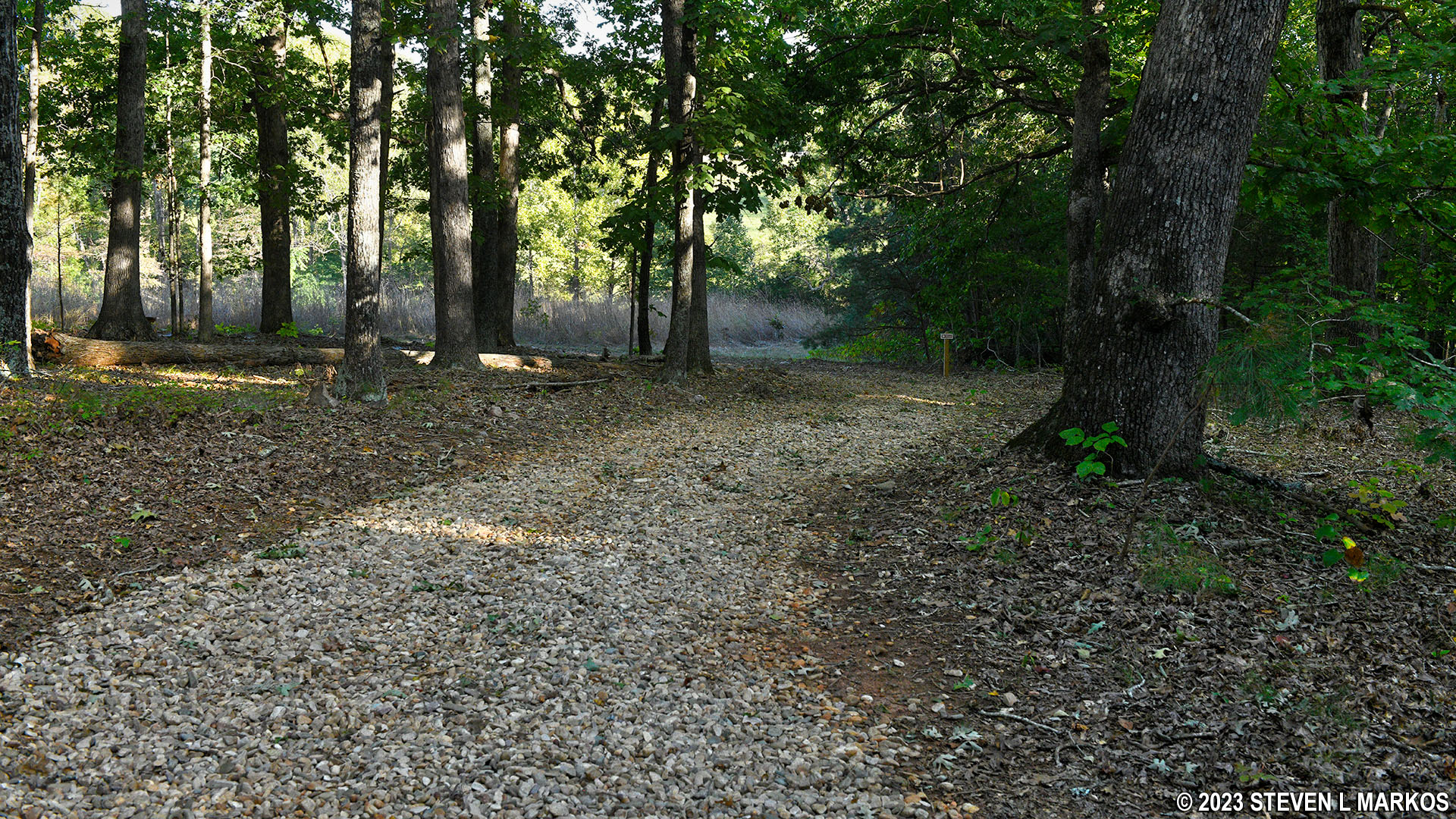
A mile into the hike is a fork in the trail (there is a bench at this point). To remain on the Tibbs Trail, stay to the left. The grass trail to the right is not on the park trail map. This is just a cut-through to the Richmond-Lynchburg Stage Road on the other side of the valley.
Valley between the Tibbs Trail and the Richmond-Lynchburg Stage Road at Appomattox Court House National Historical Park
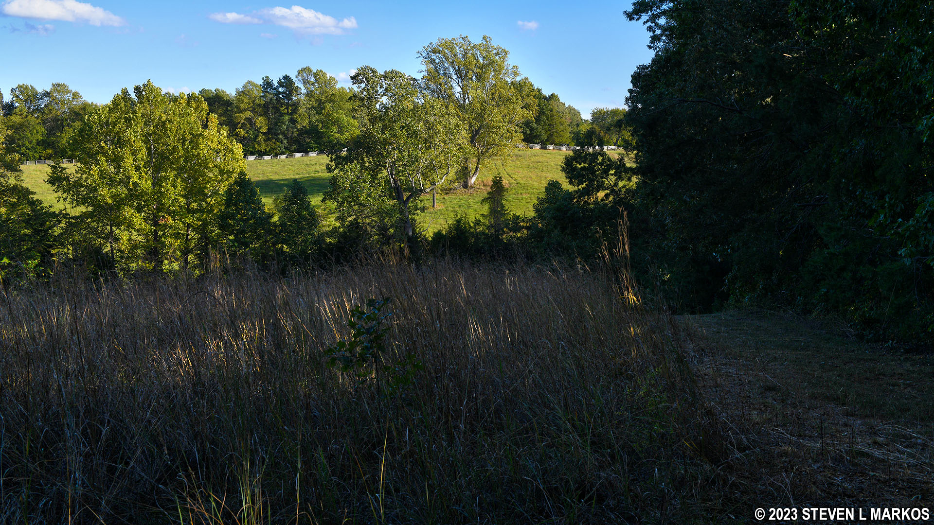
Up until the fork, the terrain on the Tibbs Trail is fairly level. After the fork, the trail begins a long, gradual decent all the way until it ends in less than a quarter mile at Highway 24. Remember the valley? Well, this is what you are walking down into, and the Stage Road Trail begins at the very bottom. You’ll hear traffic noise as you approach the end.
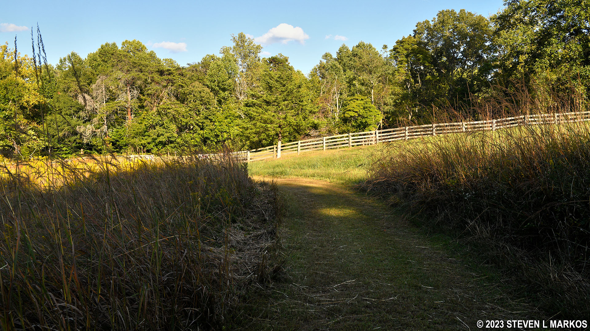
Eastern end of the Tibbs Trail at Appomattox Court House National Historical Park
The Tibbs Trail ends at a gap in a fence; Highway 24 is directly ahead. If you pass through the fence, you can take a left and head down to a picnic table on the Appomattox River. To continue on the Stage Road Trail, pass through the fence and take a right. If you turn before the fence and follow the mowed grass path, you’ll eventually have to climb over the fence to continue the hike along the historic Richmond-Lynchburg Stage Road.
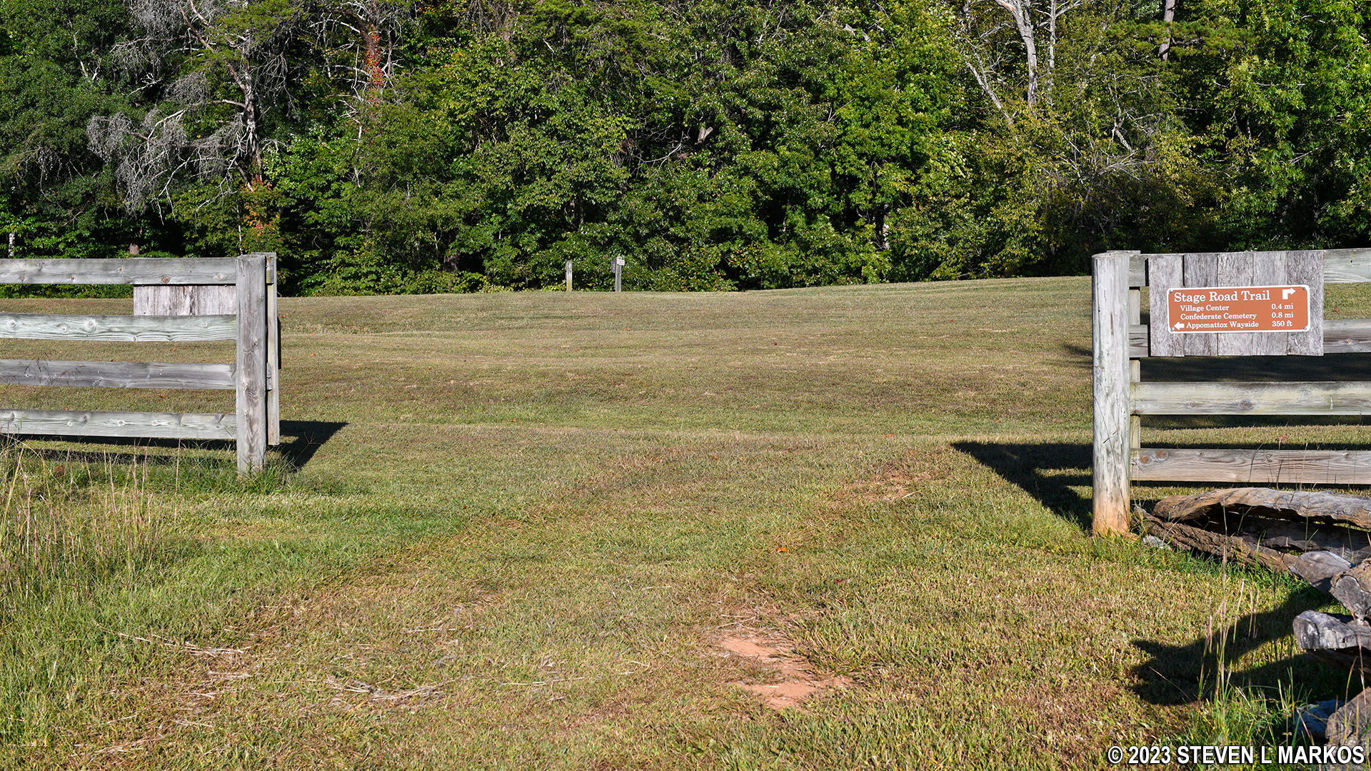
Eastern trailheads for the Tibbs and Stage Road trails at Appomattox Court House National Historical Park
With a few exceptions, use of any photograph on the National Park Planner website requires a paid Royalty Free Editorial Use License or Commercial Use License. See the Photo Usage page for details.
Last updated on June 29, 2023


