
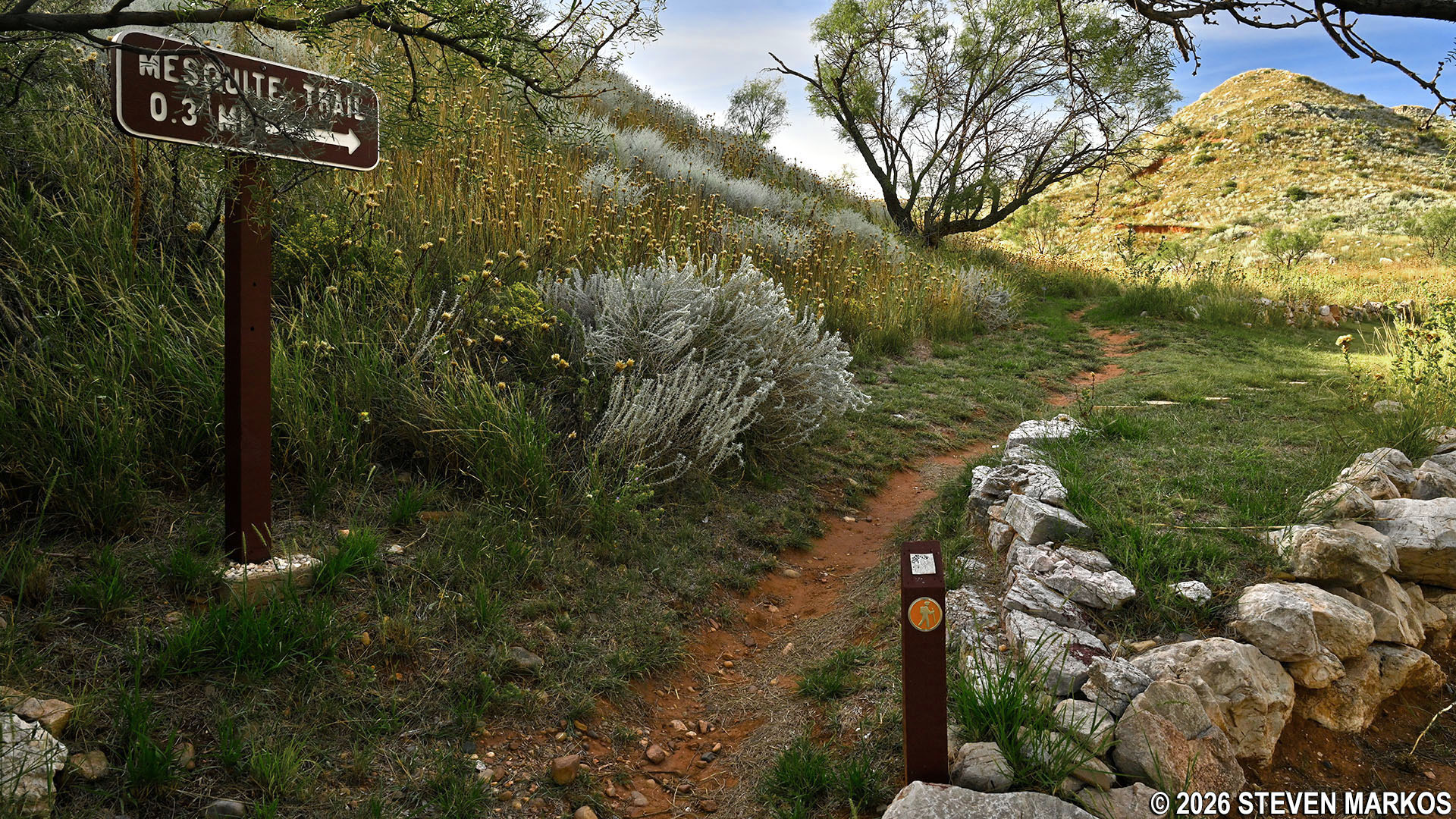
Trailhead for the Mesquite Trail at Alibates Flint Quarries National Monument
Length: .3-mile loop
Time: 15 minutes
Difficulty: ★★☆☆☆
The Mesquite Trail at Alibates Flint Quarries National Monument is an unpaved, .3-mile nature trail that circles the base of a small hill next to the Visitor Center. It focuses on the native plants and offers fantastic views of the surrounding mesas. Keep in mind that the entire trail is out in the open, so if avoiding the sun is important to you, be sure to wear a hat and apply sunscreen.
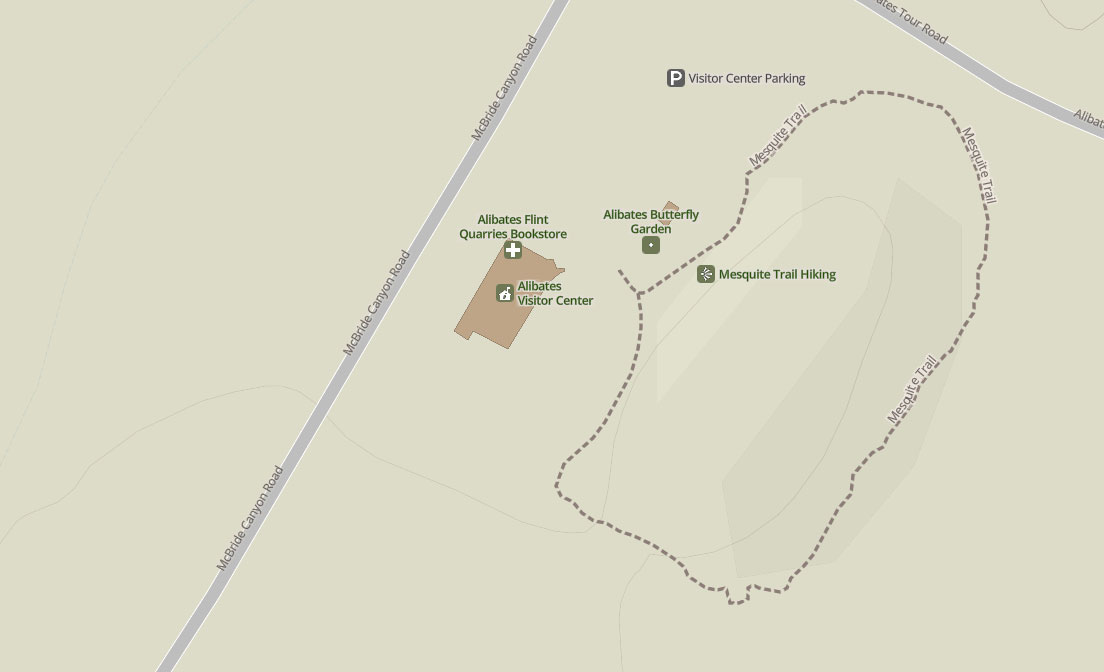
Mesquite Trail Map, Alibates Flint Quarries National Monument
The Mesquite Trail starts off as a narrow dirt path but quickly widens as it follows alongside the Alibates Gardens.
Start of the Mesquite Trail at Alibates Flint Quarries National Monument
Wide section of the Mesquite Trail alongside the Alibates Gardens, Alibates Flint Quarries National Monument
At the end of the gardens are two examples of the types of dwellings utilized by early Native Americans. One is a reconstructed stone foundation of a typical Antelope Creek pit house. It shows the vestibule a person would have crawled through to enter, and there is also a section illustrating a double-row slab wall. The gap between the two slabs was sometimes filled with rubble for insulation. The Antelope Creek people lived in the area from around 1150 to 1450.
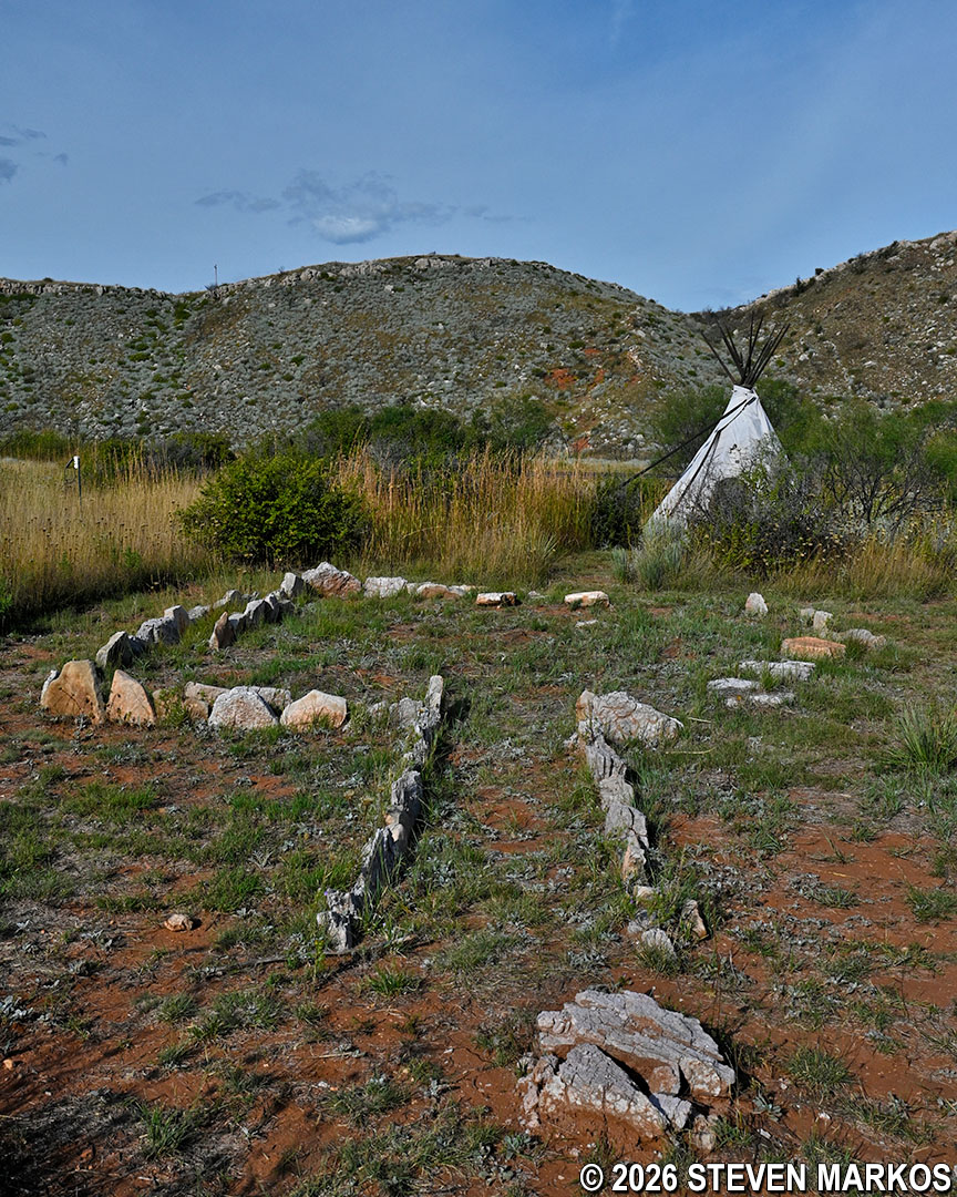
Replica stone foundation of an Antelope Creek pit house on the Mesquite Trail at Alibates Flint Quarries National Monument
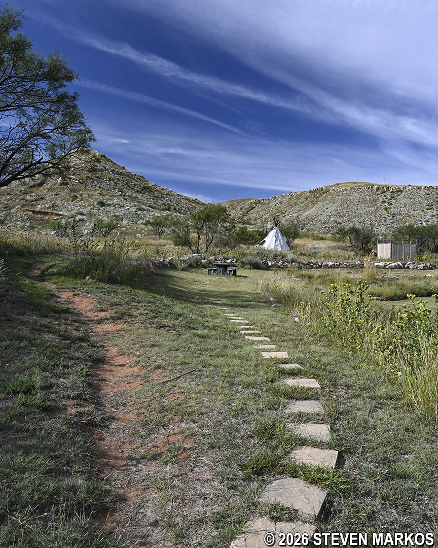
Behind the stone foundation is a replica tipi that was typically used by the nomadic Apache who migrated from Canada to the Texas Panhandle after the Antelope Creek people left. They lived in the area until the 1700s.
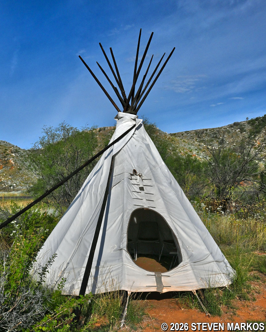
Replica tipi used by the nomadic Apache on the Mesquite Trail at Alibates Flint Quarries National Monument
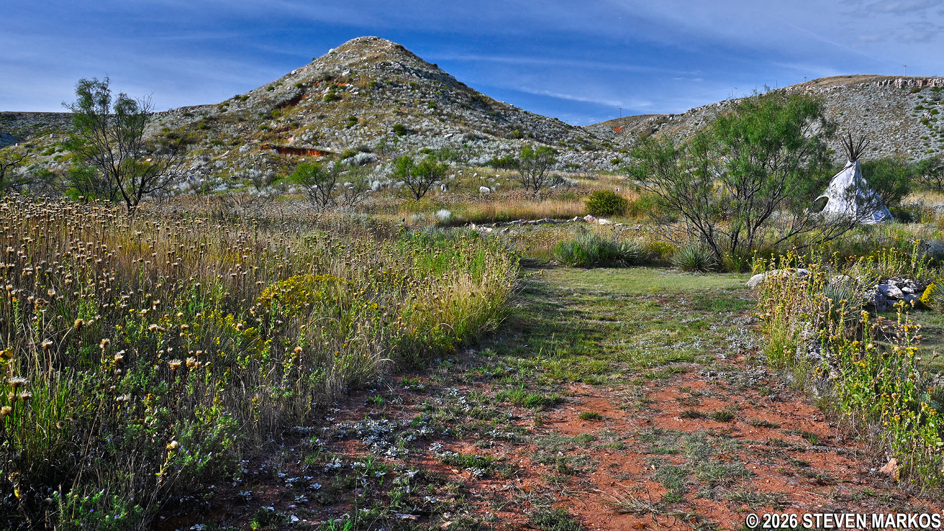
Past the tipi, the Mesquite Trail makes a short uphill climb as it begins circling around the hill. The path narrows once again and remains that way for the rest of the hike.
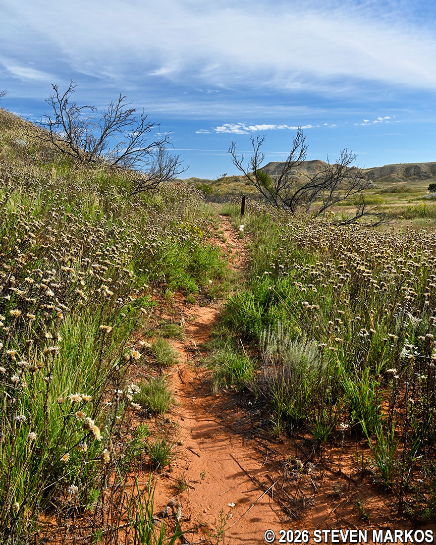
Typical terrain of the Mesquite Trail just past the replica dwellings at Alibates Flint Quarries National Monument
At the halfway point on the hike, on the opposite side of the hill from the Visitor Center, is a bench where visitors can sit and enjoy the scenery. It is surrounded by wildflowers, mainly basket flowers (also called star thistles). They usually bloom in summer, so by the time I visited in late September they were all dried out. Despite being an annual flower (meaning it needs replanting each year, unlike perennials that rebloom), it is a pollinator-friendly plant with abundant seeds. The many birds and insects that it attracts help it self-seed for the next season.
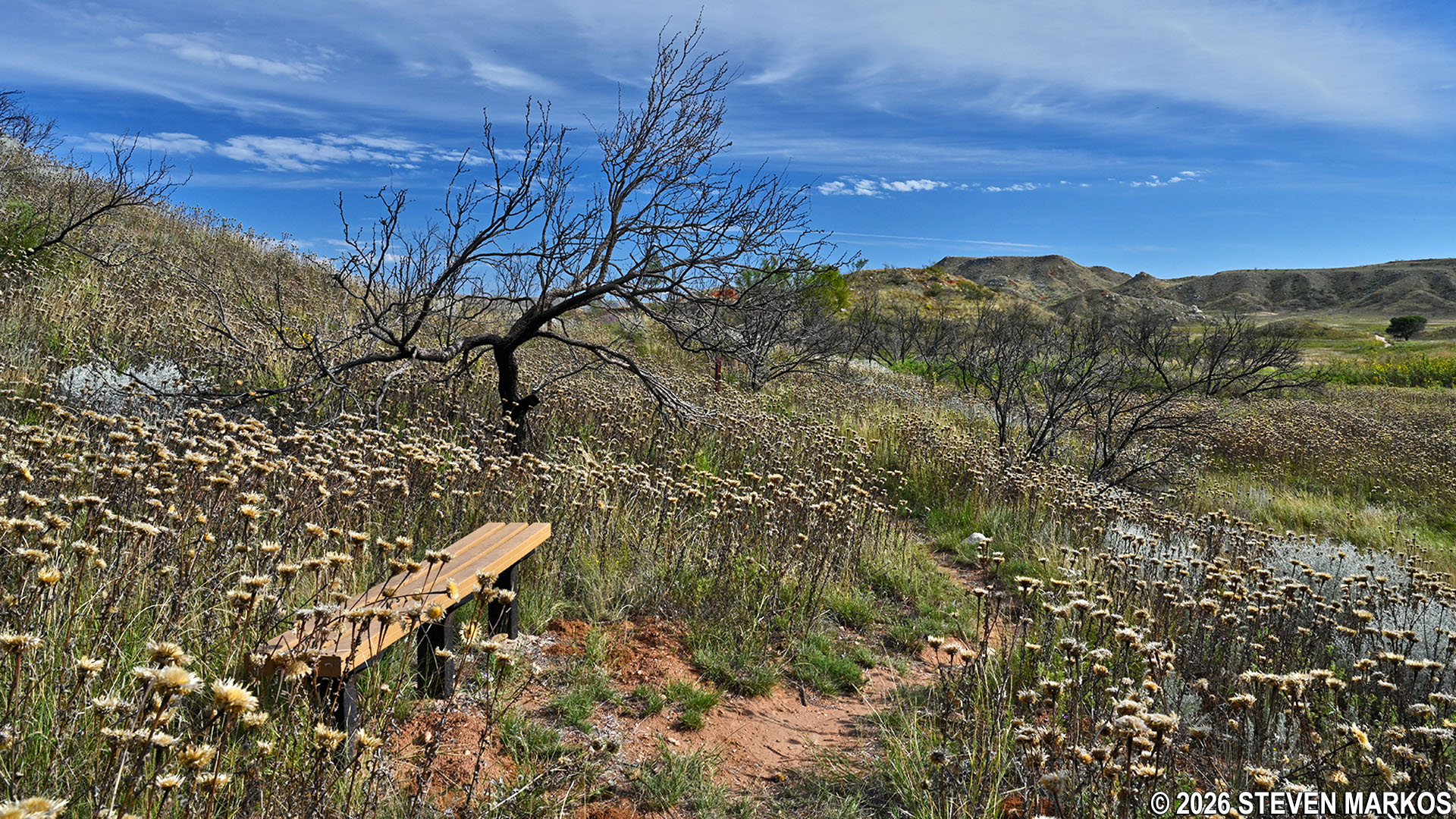
Bench surrounded by wildflowers along the Mesquite Trail at Alibates Flint Quarries National Monument
Shortly after the halfway point is a remnant of an original barbed-wire fence from 1883 when the land was part of the LX Ranch. The ranch was first established in 1877 by W. H. Bates and David T. Beals after the Plains Indians were forcibly removed from the region following the Red River War in 1874. When geologist Charles N. Gould explored the area in 1906, Allen “Allie” Bates was his guide. Gould discovered—or rediscovered—the colorful flint once prized by the prehistoric and early Native Americans and named it after Bates, combining his nickname and surname into Alibates. Bates is thought to have been the son of W. H. Bates.
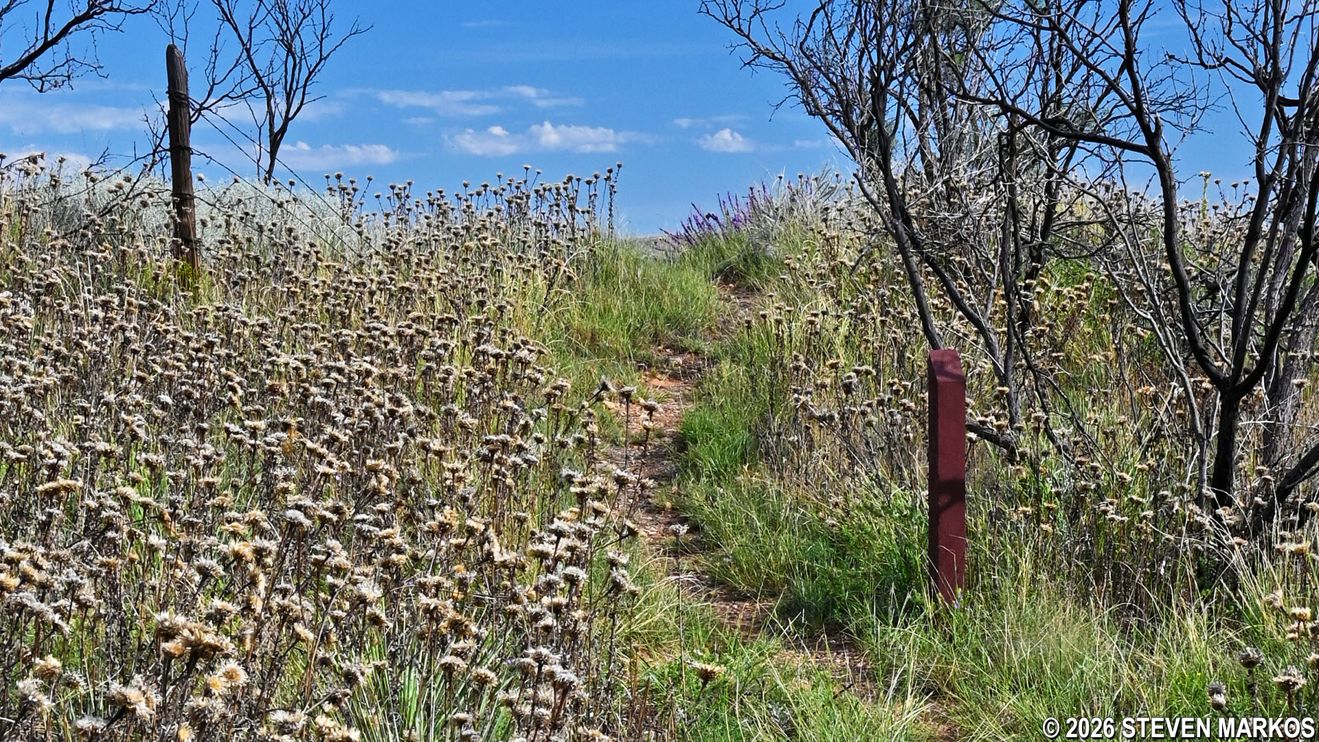
Section of barbed wire fence from 1883 on the Mesquite Trail at Alibates Flint Quarries National Monument
After the barbed-wire fence, the Mesquite Trail begins another slight ascent as it loops around the northeastern side of the hill and approaches Alibates Tour Road. From here hikers have a great view of the mesas along the Canadian River.
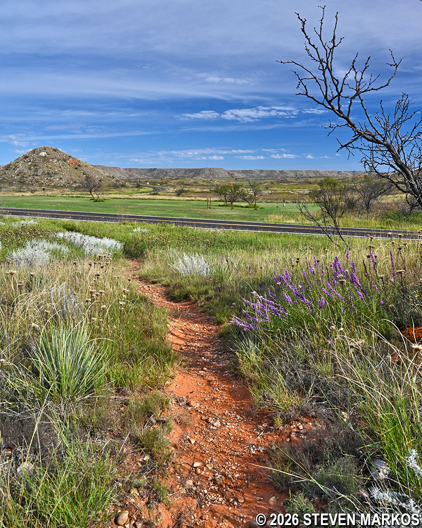
Path of the Mesquite Trail near Alibates Tour Road at Alibates Flint Quarries National Monument
The Mesquite Trail follows alongside the tour road for a couple of hundred feet before curving around to the western side of the hill. From there it goes up and over a slight rise, and soon afterwards ends back at the Visitor Center.
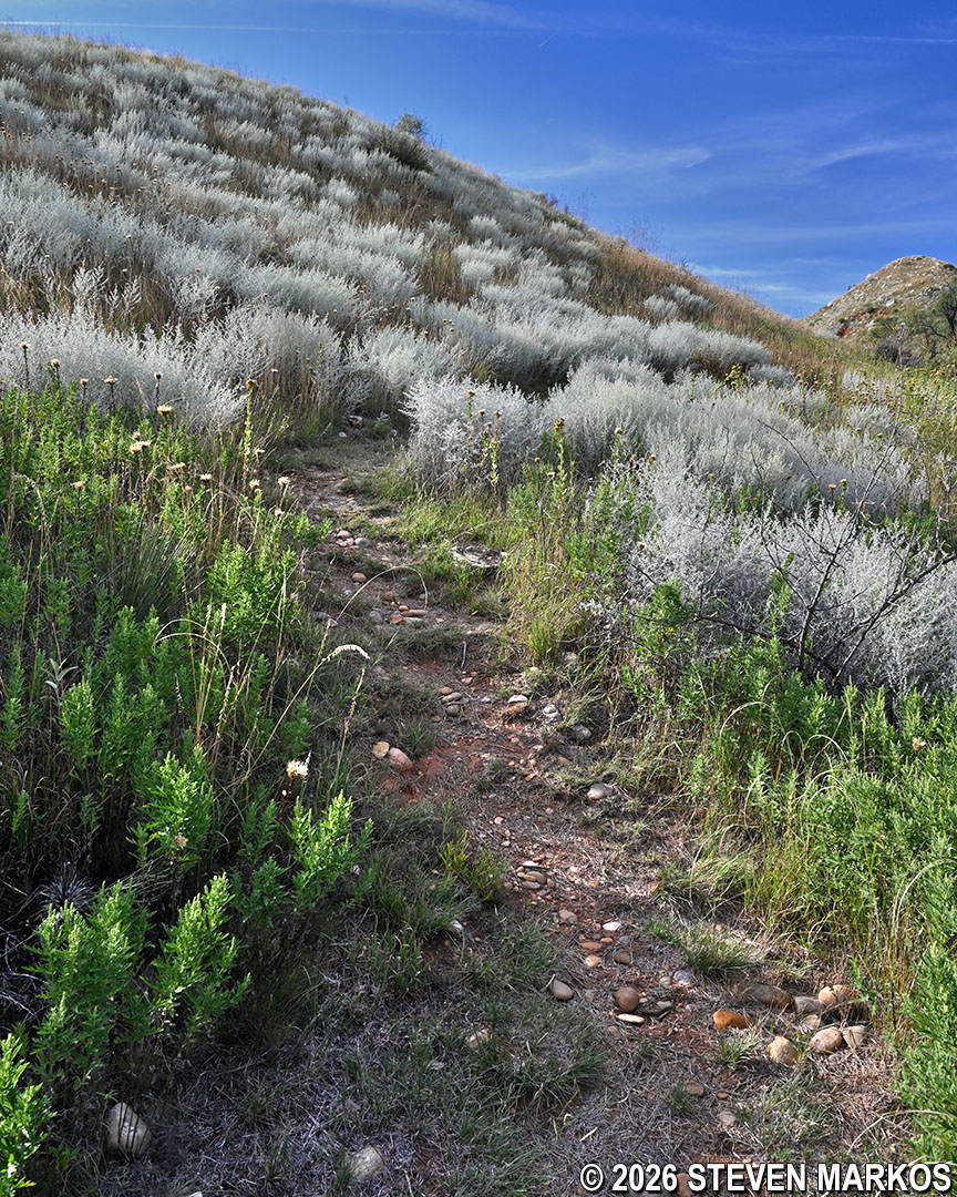
Ascending path near the end of the Mesquite Trail at Alibates Flint Quarries National Monument
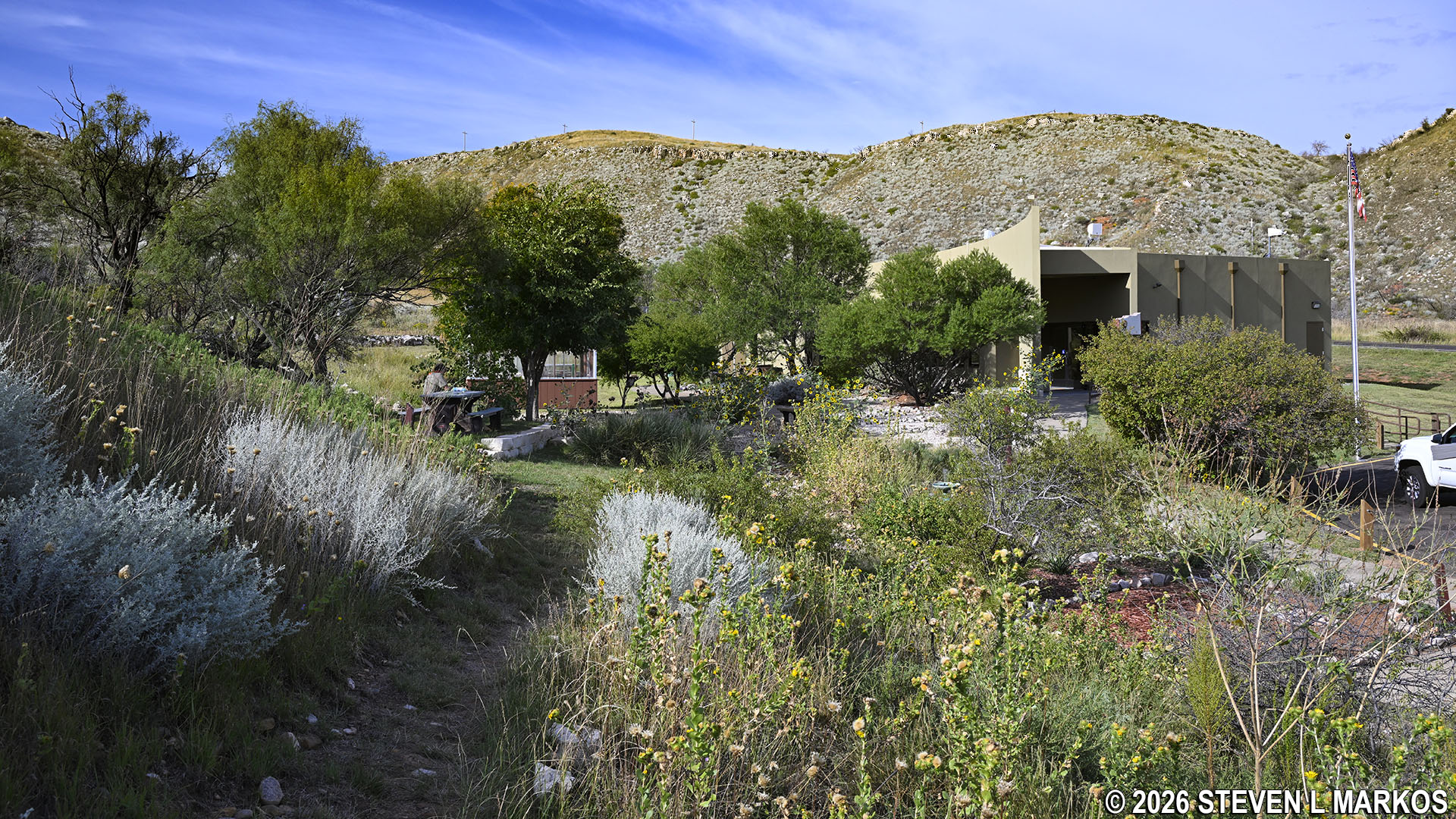
Mesquite Trail ends back at the Alibates Flint Quarries National Monument Visitor Center
With a few exceptions, use of any photograph on the National Park Planner website requires a paid Royalty Free Editorial Use License or Commercial Use License. See the Photo Usage page for details.
Last updated on February 8, 2026


