
The Hackers Trail at Delaware Water Gap National Recreation Area leads to Hackers Falls
Length: 1.5 mile, one way
Time: 1 hour (one way)
Difficulty: Moderate with a few short-but-strenuous hills to climb
The Hackers Trail is one of many trails in the Cliff Park section of Delaware Water Gap National Recreation Area. Located at the northern end of the park near Milford, Pennsylvania, this section takes its name from the Cliff Park Golf Course, the first golf course in America designed by a woman, Annie R. Buchanan. The National Park Service acquired the Cliff Park area when the land was donated by the Buchanan Family in 2003. The Buchanans owned the property since 1803, and the golf course has been around since 1913.
The Hackers Trail is directly accessible from the Hackers Trailhead on Raymondskill Road or by hiking .4 mile on the Buchanan Trail starting at the Cliff Park Trailhead near the golf course. The trail leads to a picturesque waterfall, and the quickest way to get to it is by starting out on the Buchanan Trail. This is where I began my hike, and this trail report is written from that perspective.

Corrected trail map for the Cliff Park Area trails at Delaware Water Gap National Recreation Area (click to enlarge)
From the Cliff Park Trailhead parking lot, pick up the Buchanan Trail on the left side of the fancy outhouse, which is what Jed Clampett would call a portable toilet in a permanent building. The trailhead is marked with a post with orange paint on it. Orange is the blaze color of the Buchanan Trail.
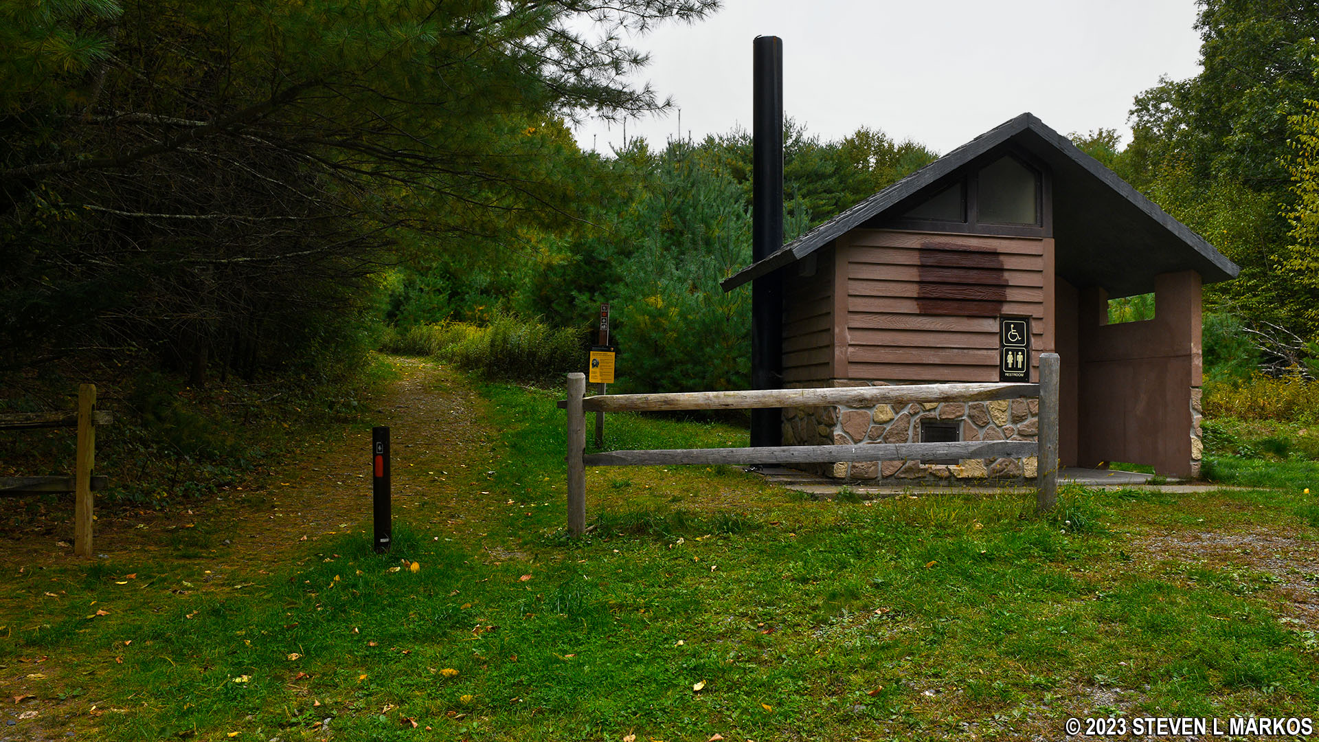
Start of the Buchanan Trail near the restroom at the Cliff Park Trailhead parking lot, Delaware Water Gap National Recreation Area
From here it is .4 mile to the Hackers Trail, uphill all the way other than a few short level areas. The trail is a wide, gravel path, and the ascent is moderate in difficulty. Along the way you’ll pass an old building covered with graffiti and a dilapidated mobile home.
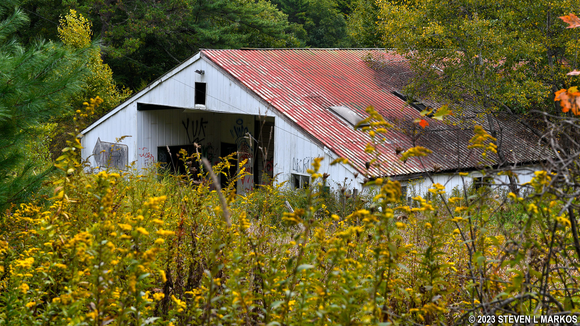
Old building at the northwest end of the Buchanan Trail in the Cliff Park section of Delaware Water Gap National Recreation Area
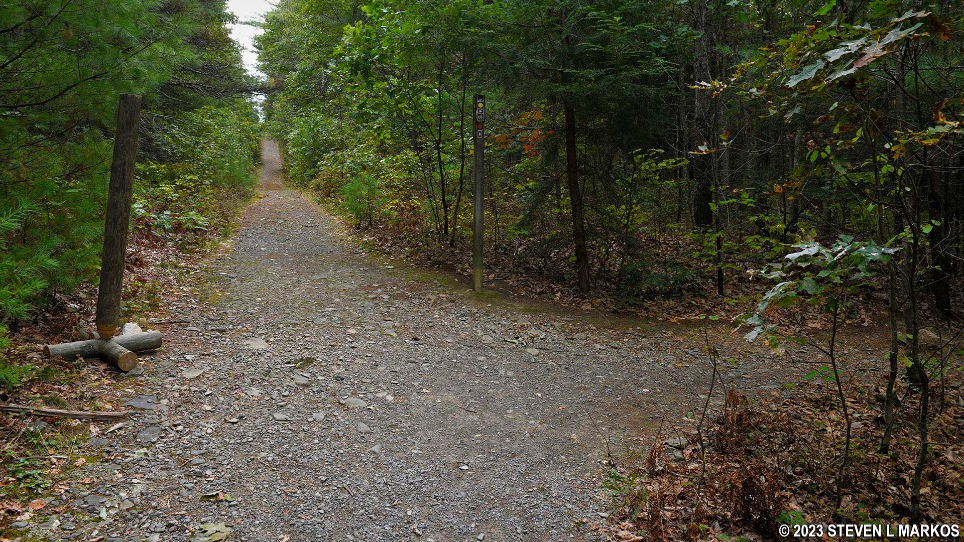
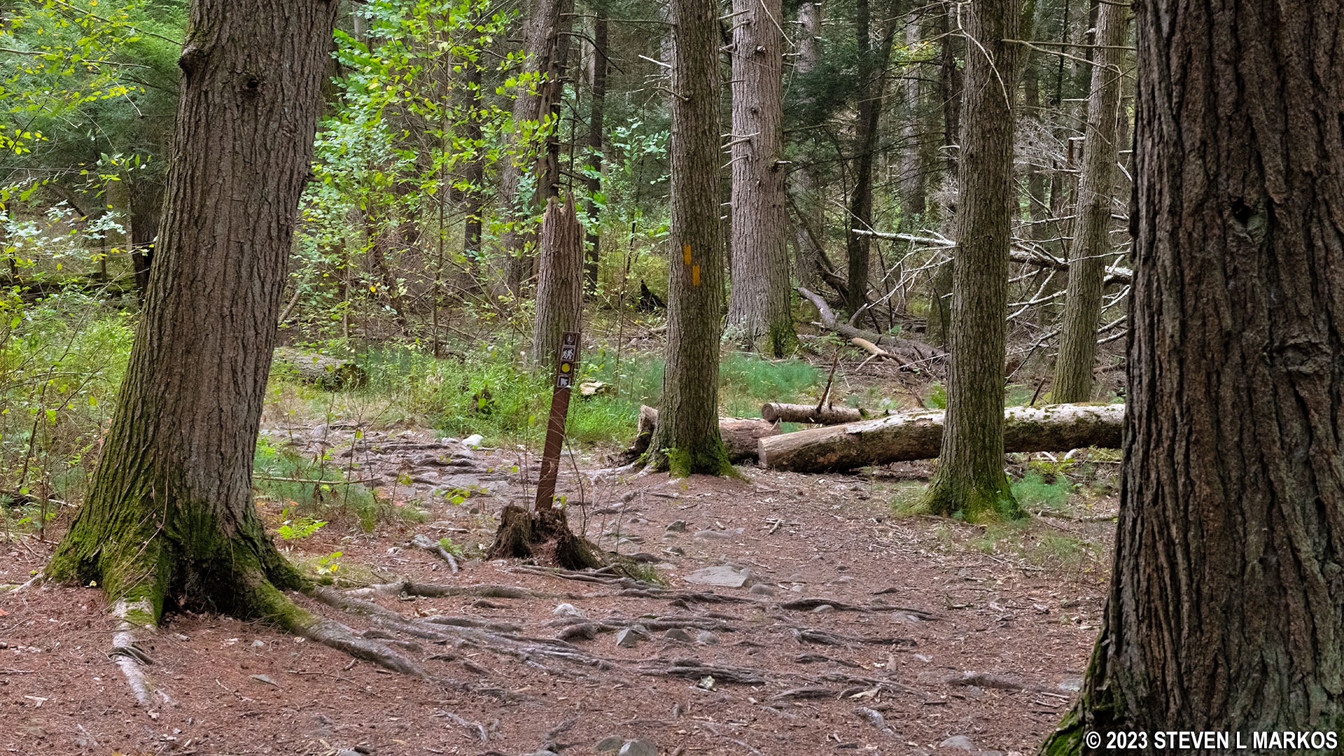
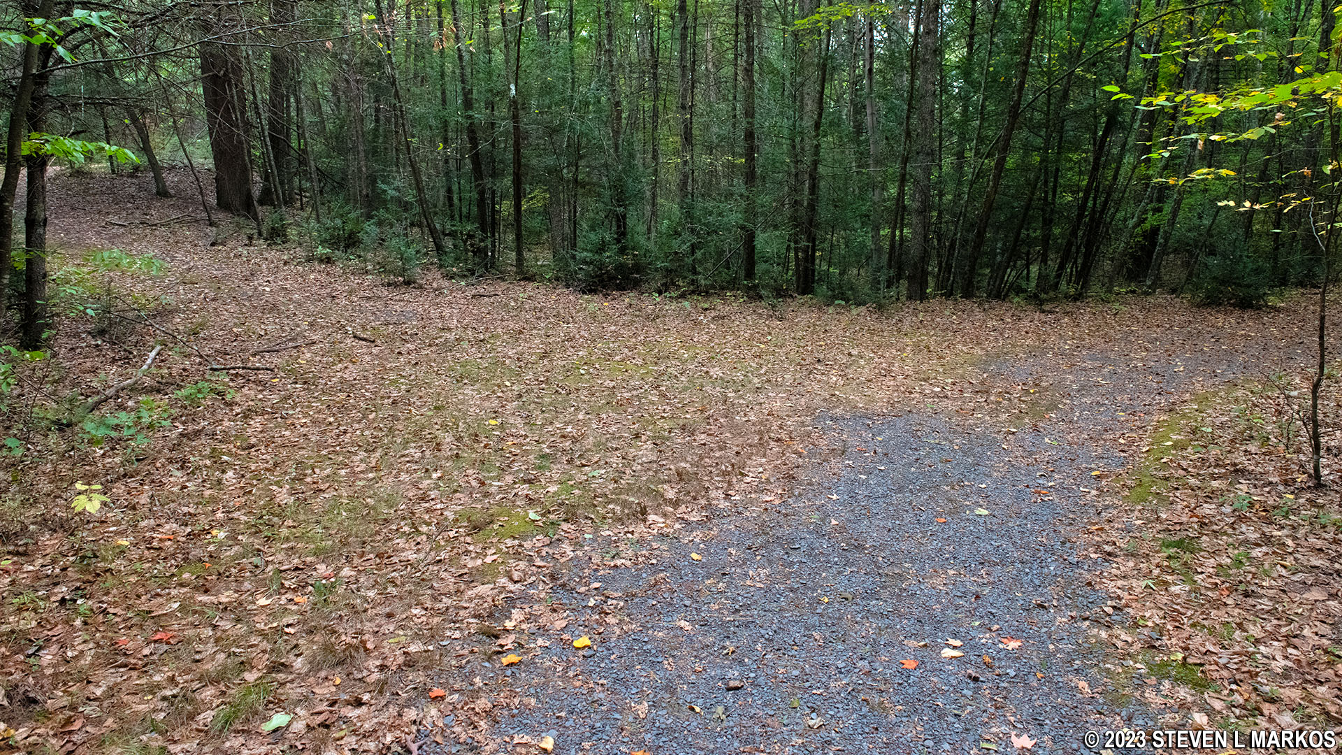
Intersection of the Buchanan and Hackers trails in the Cliff Park section of Delaware Water Gap National Recreation Area
The route of the Hackers Trail is marked with yellow blazes, which are paint splotches on trees that you follow like Hansel and Gretel breadcrumbs. The blaze colors also appear as dots on directional signage at some intersections. The names of the trails themselves are not give. As long as you know the trail colors, you should know which way to go.
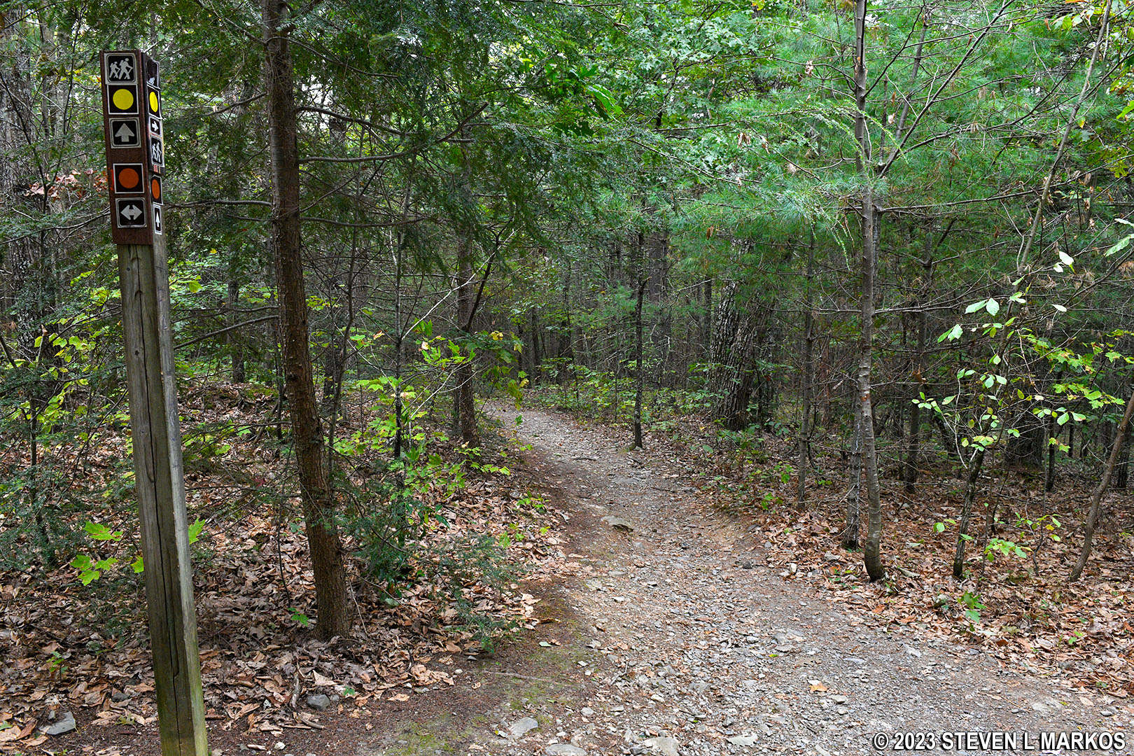
Yellow dots on sign posts mark the route of the Hackers Trail at Delaware Water Gap National Recreation Area
The first tenth of a mile of the Hackers Trail heads steeply downhill. The average grade is -18%, and most hikers agree that a 15% (+/-) grade is where strenuous begins. This section of the trail is also very rocky, which isn’t typical for trails in the Cliff Park area.
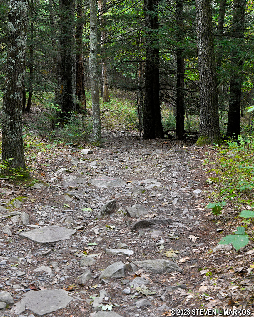
Rocky terrain at the northern end of the Hackers Trail in Delaware Water Gap National Recreation Area
Once at the bottom of the steep section, the Hackers Trail continues downhill but at such a gradual pace you won’t even notice it. The only exception is a short-but-steep drop (100 feet long, 20% grade) right before an intersection with a trail that forks off to the left and looks like a gully. This and another intersection just up ahead are not on the National Park Service trail map. Trails missing from the government-issued map is a common problem in this area of Cliff Park. I get it that the National Park Service doesn’t want anyone hiking these trails for whatever reason and hopes they will all just go away if they disappear from the map, but the fact remains that the trails still exist and omitting them causes nothing but confusion. I only figured out where I was and which way to go because some of these trails still show up on the hiking app I was using. I have made corrections that I know of to the map at the top of this page (corrections are in RED).
Now back to the gully trail. The Hackers Trail makes a big curve—almost a U-turn—to the left at this point. The gully trail is just shaving off a few feet by cutting from one side of the curve to the other. You’ll encounter the other end a little farther down the trail, unless you now opt to take the gully trail.
Intersection of the shortcut gully trail and the Hackers Trail at Delaware Water Gap National Recreation Area
If you remain on the Hackers Trail, skipping the gully trail shortcut, a few hundred yards later is an intersection with a trail that connects back to Cliff Park Road, the road that leads to the golf course (this is not on the government-issued map either). It is marked by a giant sign that lists the rules for the area. The sign is placed so that anyone coming from the golf course sees it. The Hackers Trail itself continues to the left.
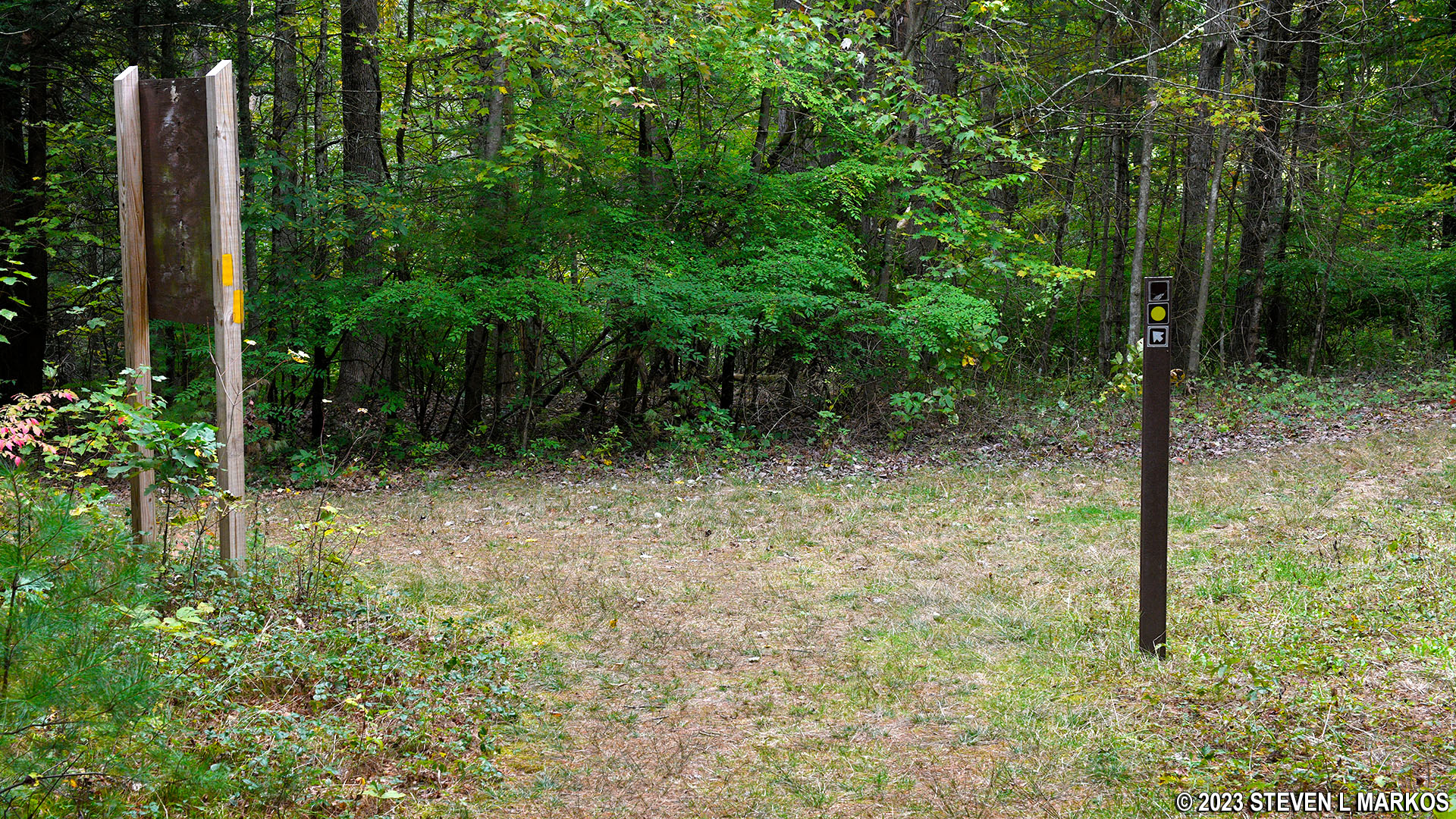
Intersection of the Hackers Trail and a trail that leads to Cliff Park Road, Delaware Water Gap National Recreation Area
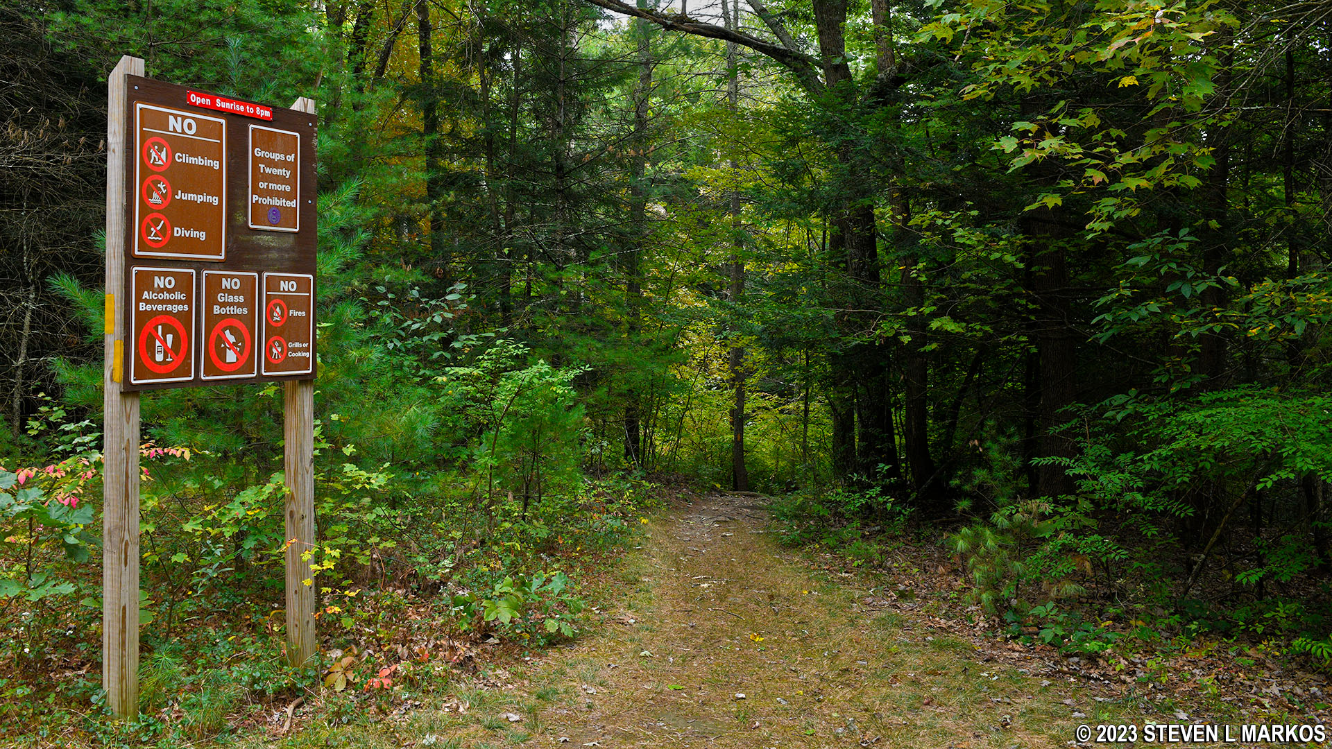
Sign with the rules for the trails in the Cliff Park section of Delaware Water Gap National Recreation Area
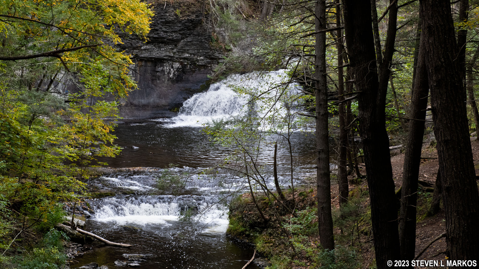
Hackers Falls is just a tenth of a mile past the Cliff Park Road trail intersection. A short detour leads to it. At this point you will have hiked .9 mile, a half mile on the Hackers Trail and .4 mile on the Buchanan Trail. The hike to the falls from the Hackers Trailhead on Raymondskill Road is 1.1 mile, so you shave nearly a half mile, round trip, off a hike to the waterfall by starting on the Buchanan Trail.
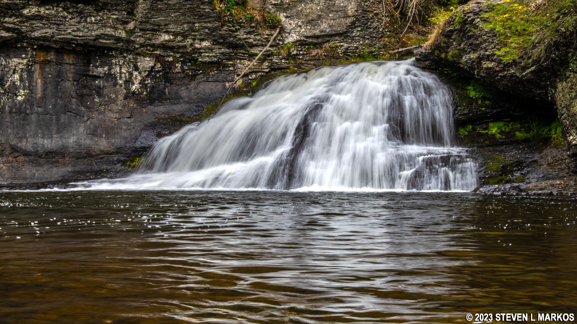
Hackers Falls in the Cliff Park section of Delaware Water Gap National Recreation Area
South of the waterfall, the Hackers Trail follows a ridge high above Raymondskill Creek (the water source for the falls) for about a tenth of a mile. At this point it is a very wide path, almost like an old road, and the terrain is level with a few small hills here and there.
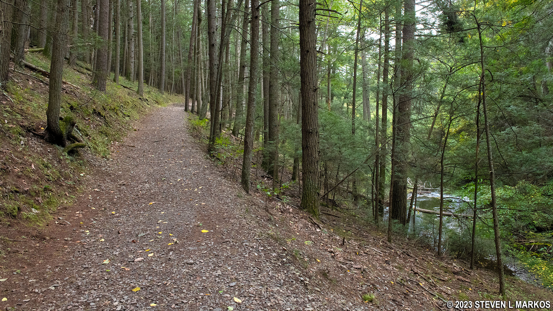
Hackers Trail follows a ridge overlooking Raymondskill Creek just south of Hackers Falls in Delaware Water Gap National Recreation Area
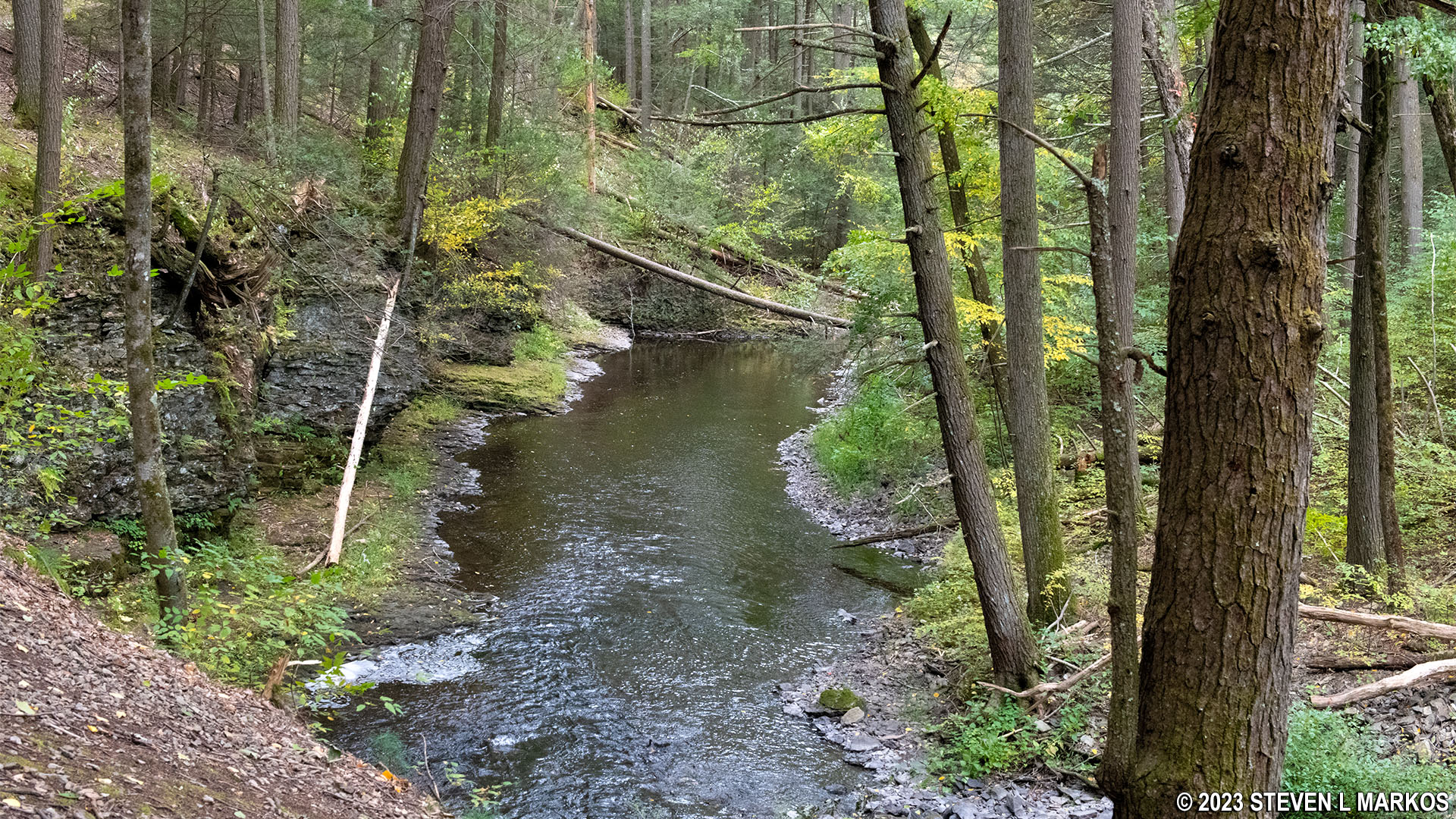
Hackers Trail overlooks Raymondskill Creek just south of Hackers Falls in Delaware Water Gap National Recreation Area
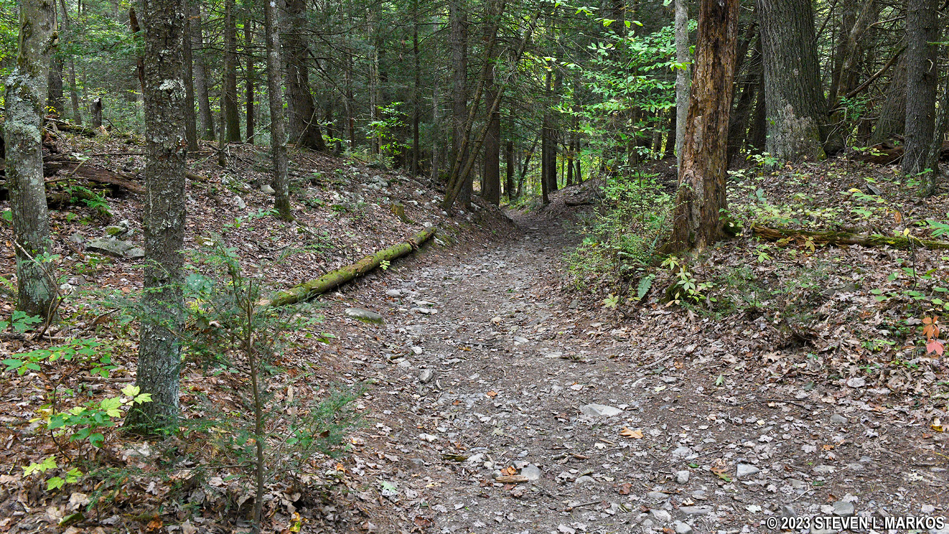
The level section lasts for about a third of a mile, which is just about where the Hackers Trail intersects with another trail that is not on the map. If my hiking app is to be trusted, the trail forms a .7-mile U-shaped curve that reaches all the way to Raymondskill Road before reconnecting back to the Hackers Trail .2 mile farther ahead (see map on this page). The trail at this intersection is so faint that it does appear to be fading away per the government’s dreams. In fact, you are very likely to walk right by it. Just follow the yellow blazes and stick to the main trail, which at this point is very rocky and full of tree roots.
Typical terrain at the central section of the Hackers Trail in the Cliff Park section of Delaware Water Gap National Recreation Area
Just before coming to the second intersection with the U-shaped trail, there is one hell of a steep hill to climb. It’s only about 200 feet long, but the grade averages 25%. At the top is the second intersection, a T-intersection, with the U-shaped trail. Here it is as wide as a road. While the other end was barely noticeable, this end can’t be missed. Take a left to remain on the Hackers Trail.
Hackers Trail at the intersection with a wide trail that is not on the Cliff Park hiking trail map, Delaware Water Gap National Recreation Area
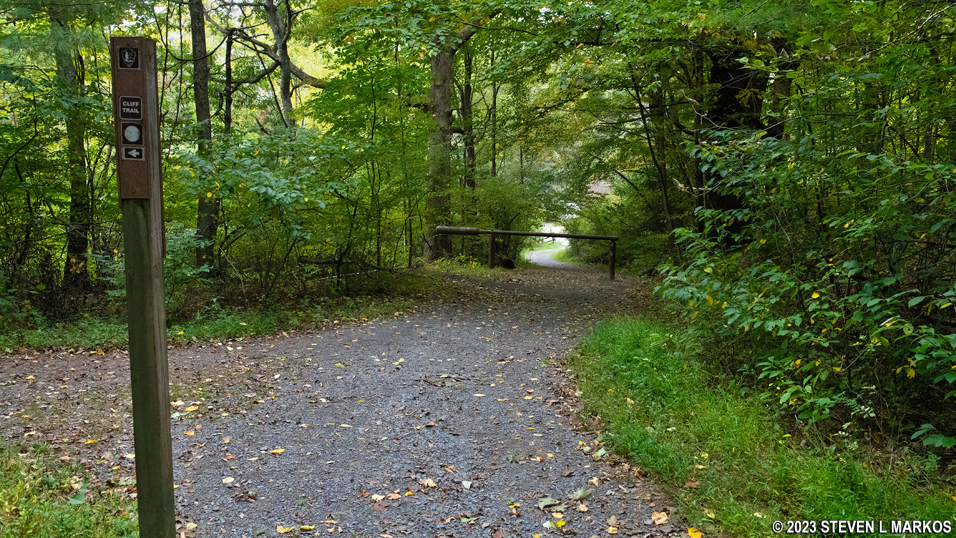
Two tenths of a mile farther ahead is the intersection with a trail that is on the National Park Service map, the Loggers Path (identified by yellow and white blazes). This trail connects to the Cliff Trail, a trail that runs the entire length of the Cliff Park section of Delaware Water Gap National Recreation Area. The Hackers Trail veers off to the right.
Intersection of the Hackers Trail and Loggers Path in the Cliff Park section of Delaware Water Gap National Recreation Area
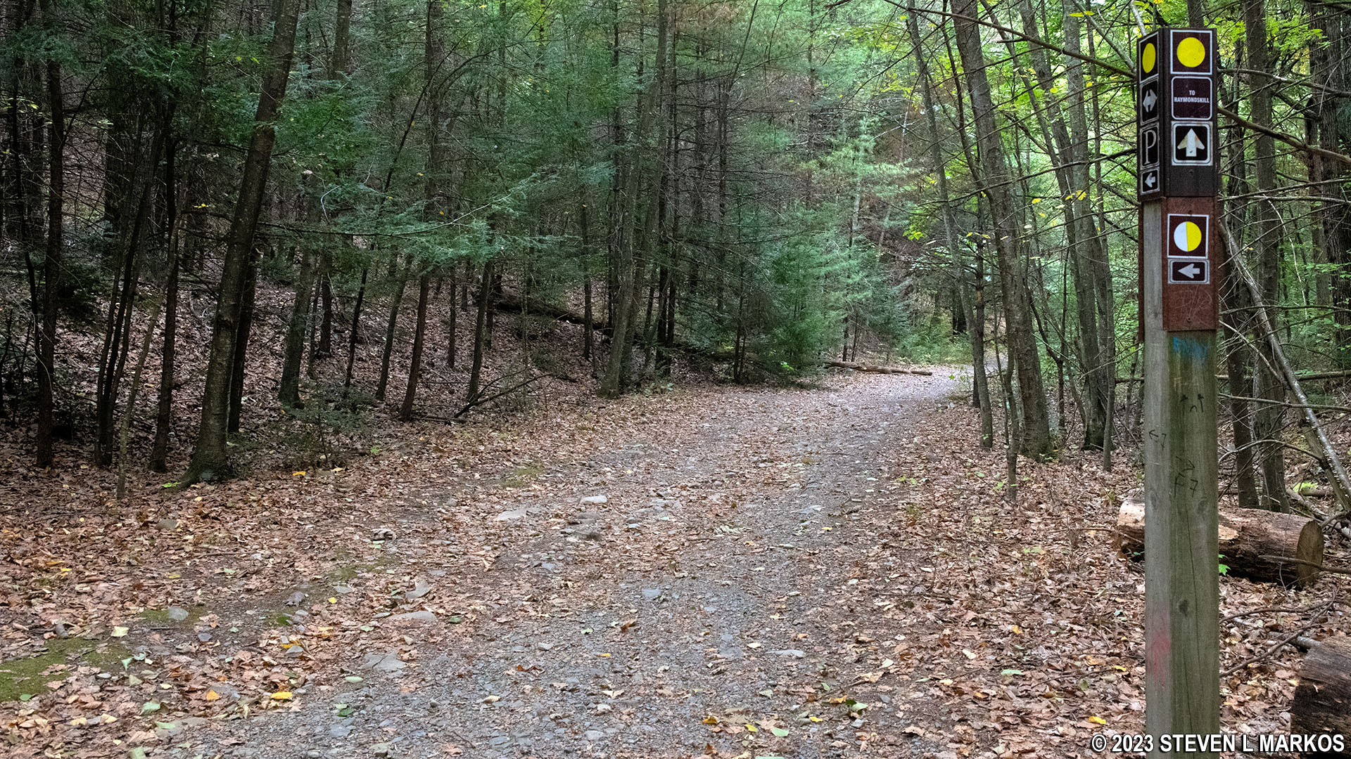
Trail post at the Hackers Trail-Loggers Path intersection, Delaware Water Gap National Recreation Area
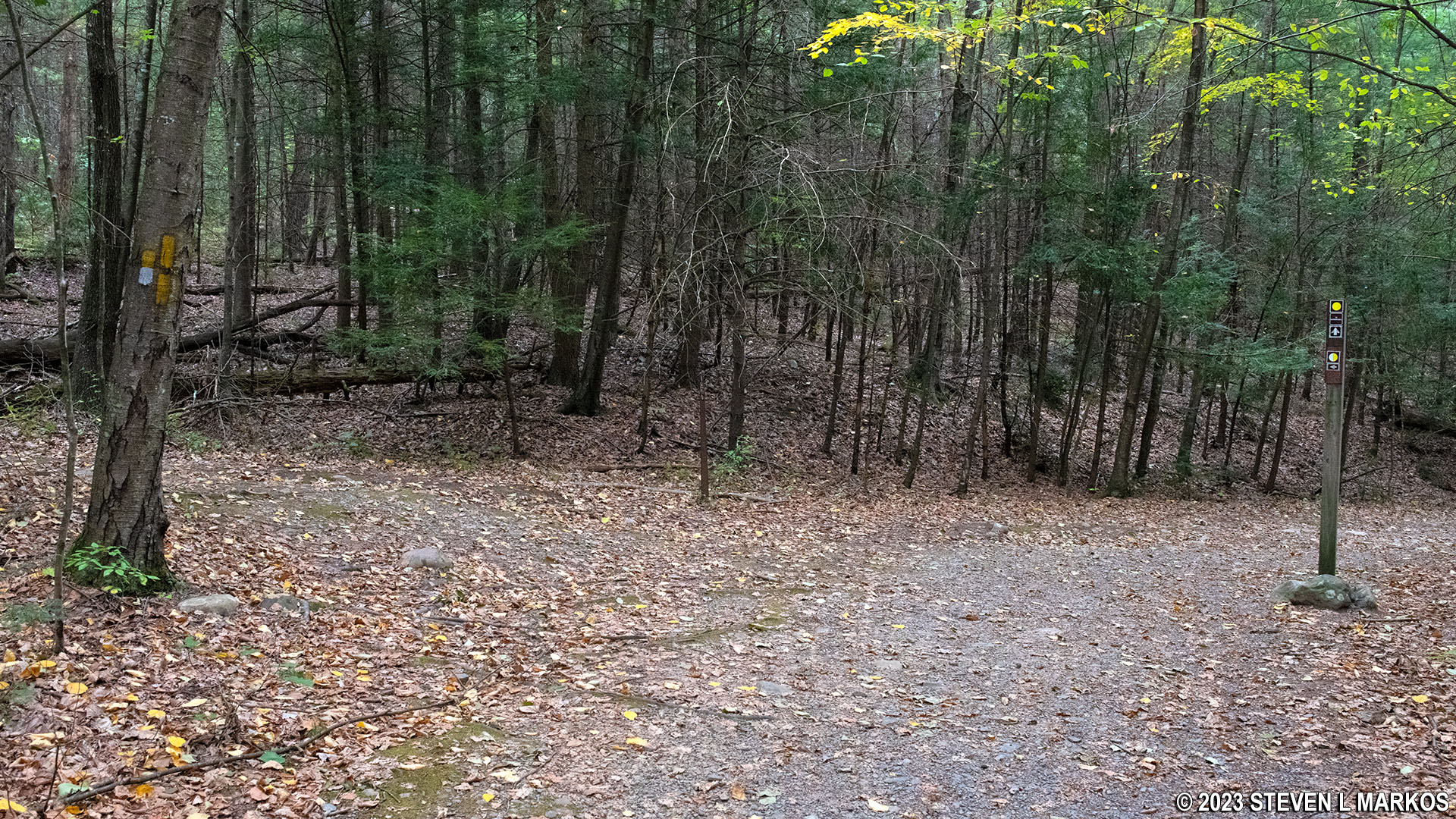
Within a hundred yards of the Loggers Path is another unmarked fork in the trail. By this time I was completely confused. My hiking app showed so many trails intersecting in this area that I had no idea which one I was at. There was no directional sign at this intersection and no blazes in sight on any trees, so I had to use my hiker’s intuition to figure out which way to go. As it turns out, the Hackers Trail forks to the right, remaining on a gravel path. The unmapped trail that forks to the left, which is just another trail that cuts over to the Cliff Trail, has a lot more grass on it.
Intersection of the Hackers Trail and an unmapped trail that leads to the Cliff Trail, Delaware Water Gap National Recreation Area
If you aren’t tired of the inept map making of the National Park Service by this point, there is another unmarked and unmapped fork in the trail another tenth of a mile ahead. When I did the hike, there was a large rock in the middle of the trail. It’s pretty big, and I doubt anyone would move it, show it should still be there when you do the hike? The Hackers Trail forks to the left. The right fork leads up to the .7-mile U-shaped trail that wasn’t on the map either.
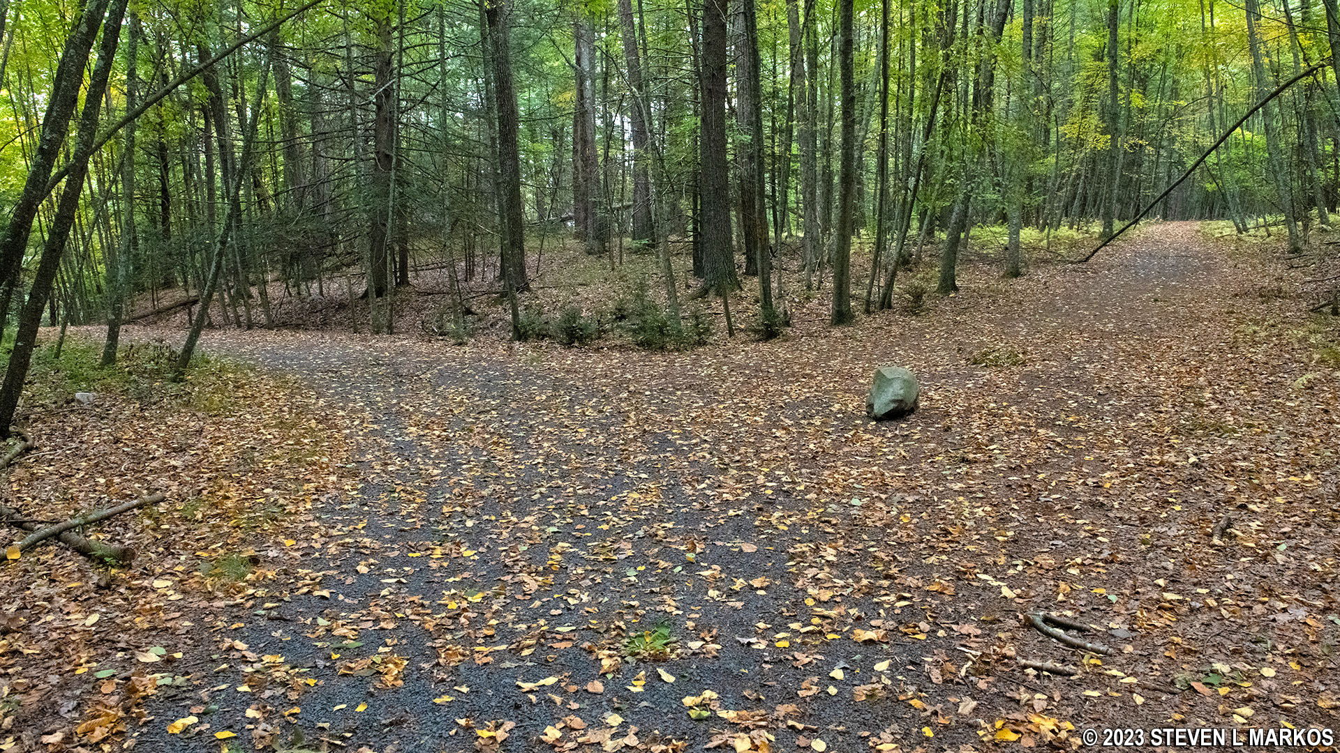
Intersection of the Hackers Trail and a sixth unmarked and unmapped trail in the Cliff Park section of Delaware Water Gap National Recreation Area
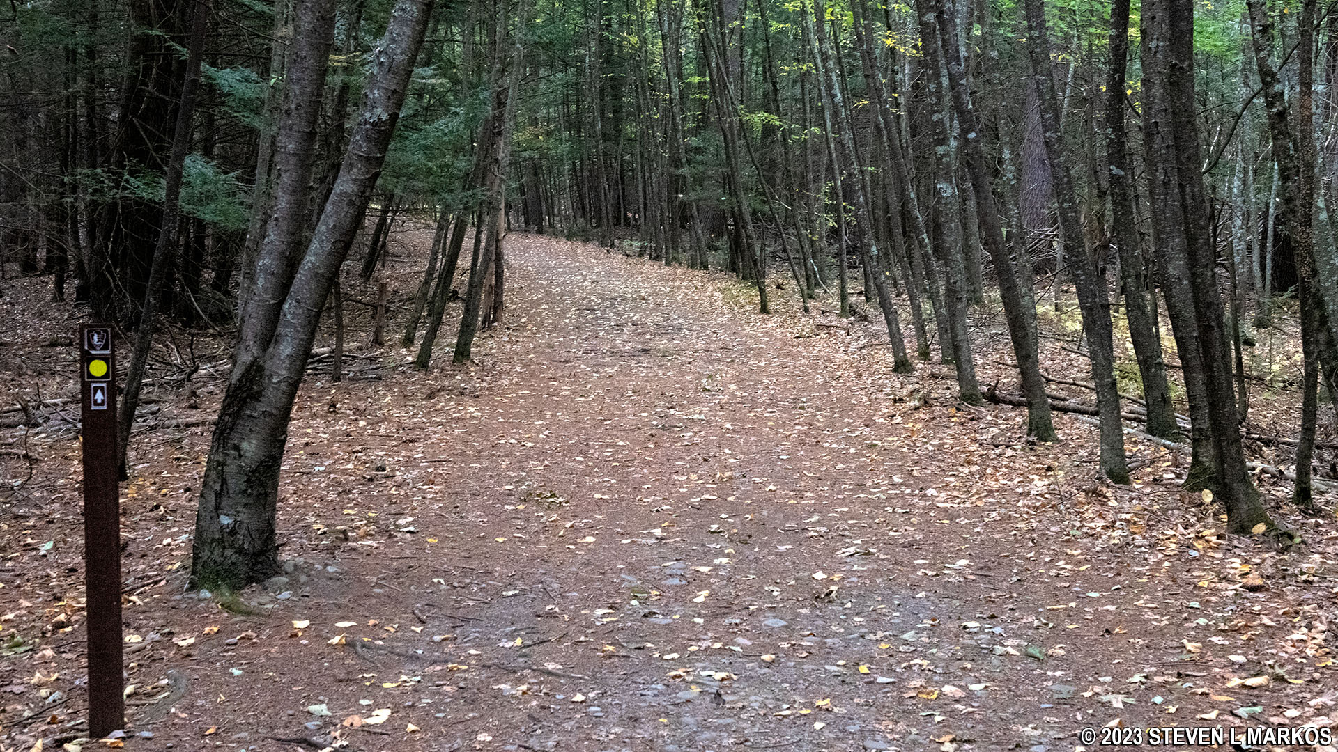
Ever since the Loggers Path, the Hackers Trail has been running downhill with the exception of a few short level segments. From here to the parking lot .3-mile ahead, it’s all downhill, sometimes quite steeply. The average grade is a moderate -12%, but there is a 100-yard stretch that averages -19%. The trail itself remains a wide path, probably a former road, and has a smooth surface.
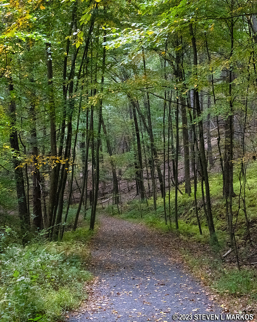
Typical terrain at the southern end of the Hackers Trail in the Cliff Park section of Delaware Water Gap National Recreation Area
The last intersection, which is on the map, is with the Cliff Trail itself. This comes right before the Hackers Trail ends at Raymondskill Road (you can see the road from here).
Intersection of the Hackers Trail and the Cliff Trail near Raymondskill Road in Delaware Water Gap National Recreation Area
The Hackers Trailhead parking lot is on the other side of Raymondskill Road. It is also the parking lot for those wanting to hike the Raymondskill Falls Trail, another trail that leads to a nice waterfall. It is only a half mile long, so I highly suggest hiking it since you are already in the area.
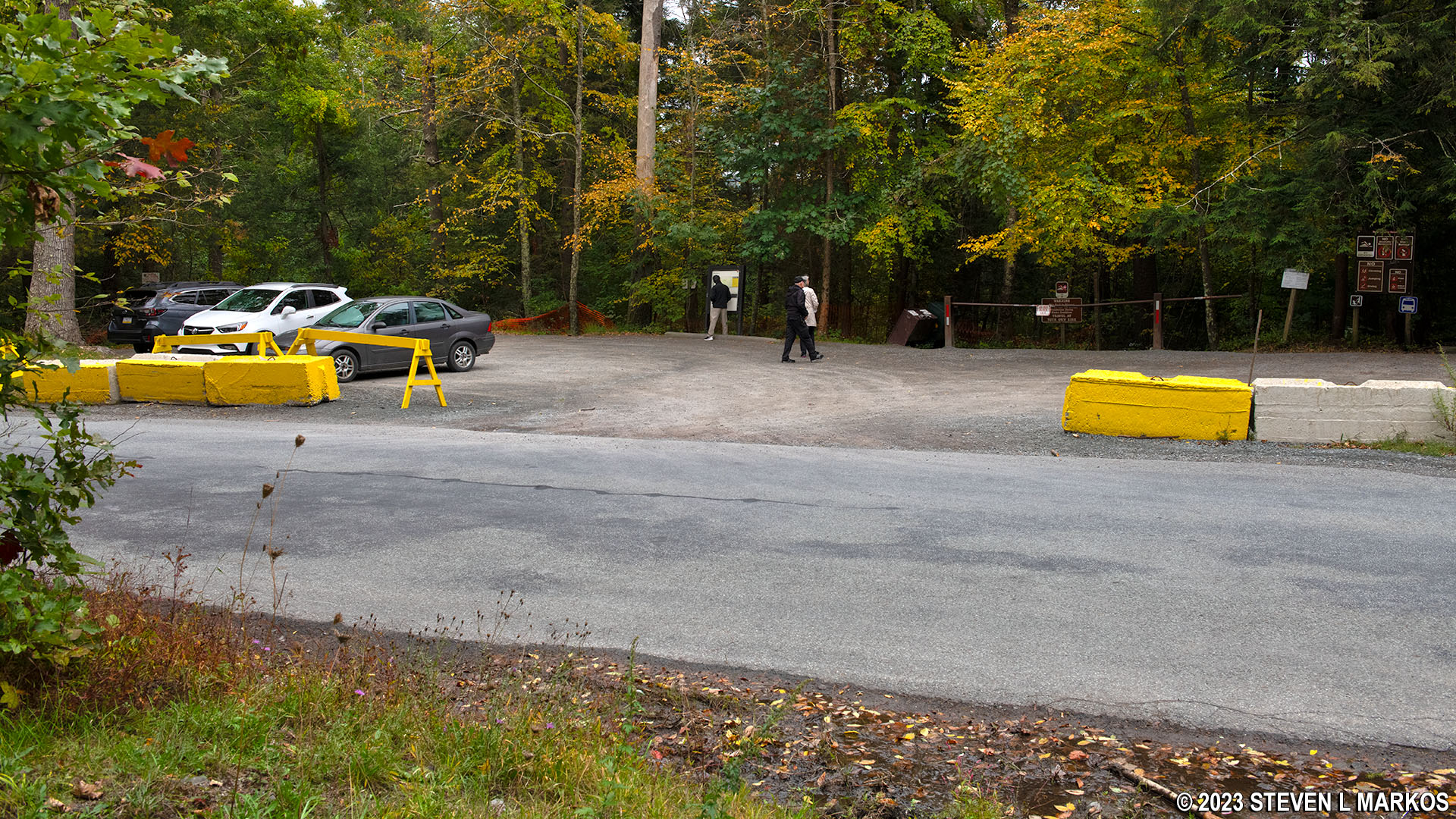
Hackers Trailhead parking lot on Raymondskill Road in Delaware Water Gap National Recreation Area
With a few exceptions, use of any photograph on the National Park Planner website requires a paid Royalty Free Editorial Use License or Commercial Use License. See the Photo Usage page for details.
Last updated on January 16, 2024


