
Buchanan Trail in the Cliff Park section of Delaware Water Gap National Recreation Area
Length: 1.2-mile loop
Time: 45 minutes
Difficulty: Moderate
The Buchanan Trail is one of many trails in the Cliff Park section of Delaware Water Gap National Recreation Area. Located at the northern end of the park near Milford, Pennsylvania, this section takes its name from the Cliff Park Golf Course, the first golf course in America designed by a woman, Annie R. Buchanan. Cliff Park became part of the park when the land was donated by the Buchanan Family in 2003. The Buchanans owned the property since 1803, and the golf course has been around since 1913.
The Buchanan Trail is accessible via other trails when hiking from the Milford Knob and Hackers trailheads, but if all you want to do is hike the Buchanan Trail, start at the Cliff Park Trailhead near the golf course. This puts you directly on both it and the Pond Loop Trail. The two trails form a figure eight, with the central section that runs along a small pond being common to both (there are no views of the pond due to thick vegetation between it and the trail).

Corrected trail map for the Cliff Park Area trails at Delaware Water Gap National Recreation Area (click to enlarge)
To figure out which trail is which, look for color-coded posts: orange for the Buchanan Trail, blue for the Pond Loop Trail, and blue and orange for the shared central section. The orange-topped post is on the left side of the restroom building at the far end of the parking lot. Starting here sets you off hiking around the Buchanan Trail in the counterclockwise direction.
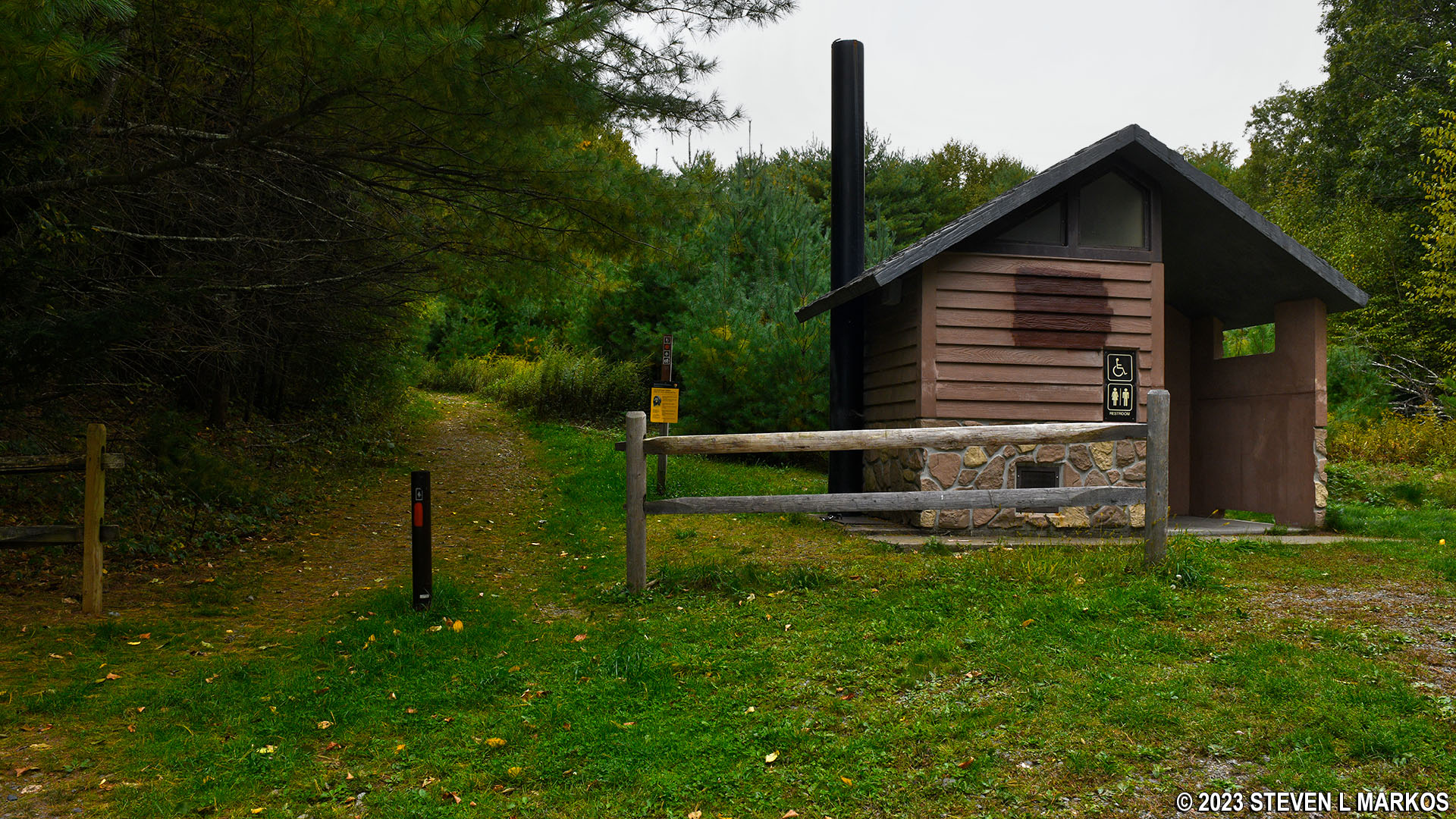
Start of the Buchanan Trail near the restroom at the Cliff Park Trailhead parking lot, Delaware Water Gap National Recreation Area
On the opposite side of the parking lot from the restroom are the other two trailheads. I started my hike on the shared central section (blue and orange post), which gave me the option to hike around the Pond Loop Trail in the counterclockwise direction or the Buchanan Trail in the clockwise direction. I chose the Buchanan Trail, and this report is written from the clockwise perspective.

Trailhead for the shared section of the Buchanan and Pond Loop trails in Delaware Water Gap National Recreation Area
The shared section of trail that runs along the pond is relatively flat and has a smooth surface largely free of rocks and roots. It is an easy hike that lasts .4 mile until the Pond Loop and Buchanan trails diverge at the southeastern end of the pond. The intersection is marked with a color-coded sign post, though trail names themselves are not given. As long as you know the trail colors, you should know which way to go (if you already forgot, stay right to continue on the Buchanan Trail).
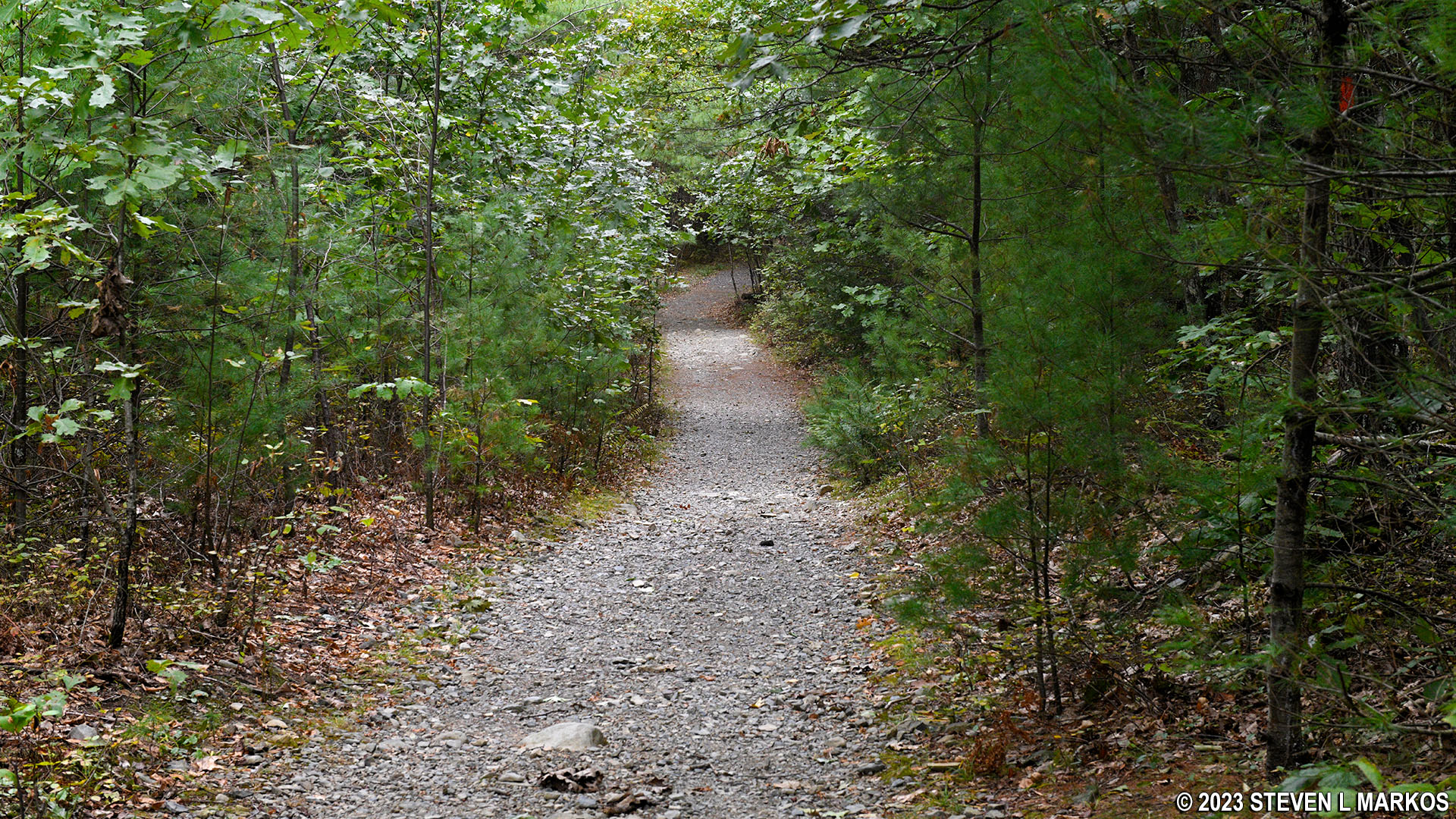
Typical terrain along the section of trail shared by the Pond Loop and Buchanan Trail in the Cliff Park section of Delaware Water Gap National Recreation Area
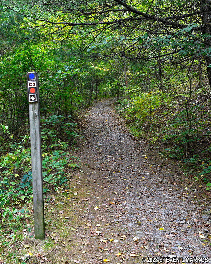
Buchanan Trail at the southeast intersection with the Pond Loop Trail, Delaware Water Gap National Recreation Area
At this point, flat and easy hiking comes to an end. The Buchanan Trail now climbs up and over a large hill, starting uphill and continuing for a third of a mile. The climb isn’t tippy-toe steep, but it is moderate in difficulty. The average grade for the first tenth of a mile is 13%, but after that it tones down a good bit (a 15% grade is the start of strenuous hiking).
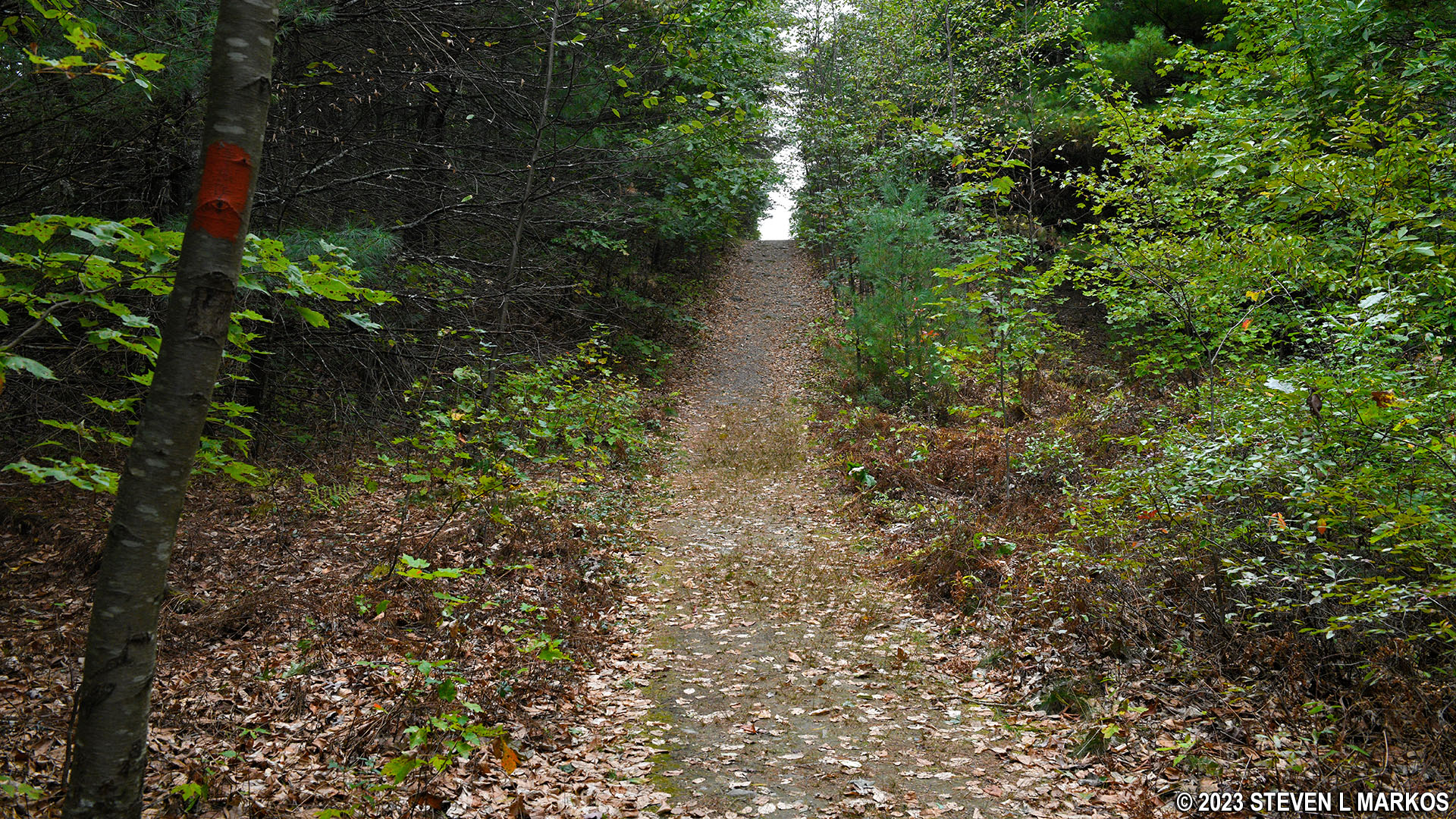
Steep terrain on the southeastern end of the Buchanan Trail in the Cliff Park section of Delaware Water Gap National Recreation Area
Two tenths of a mile past the split with the Pond Loop Trail is the intersection with a connector trail that leads southeast to the Cliff Trail. If you are using the map in the Guide to the Gap, a free tabloid-size publication that has maps for all the trails within Delaware Water Gap National Recreation Area, this connector trail is not on it. However, there is another color-coded post at the intersection, so follow the directions to the orange trail (white is for the Cliff Trail). There are many trails in the Cliff Park area that have been omitted from the government-issued trail map. I have made the corrections that I know of to the map at the top of this page (corrections are in RED).
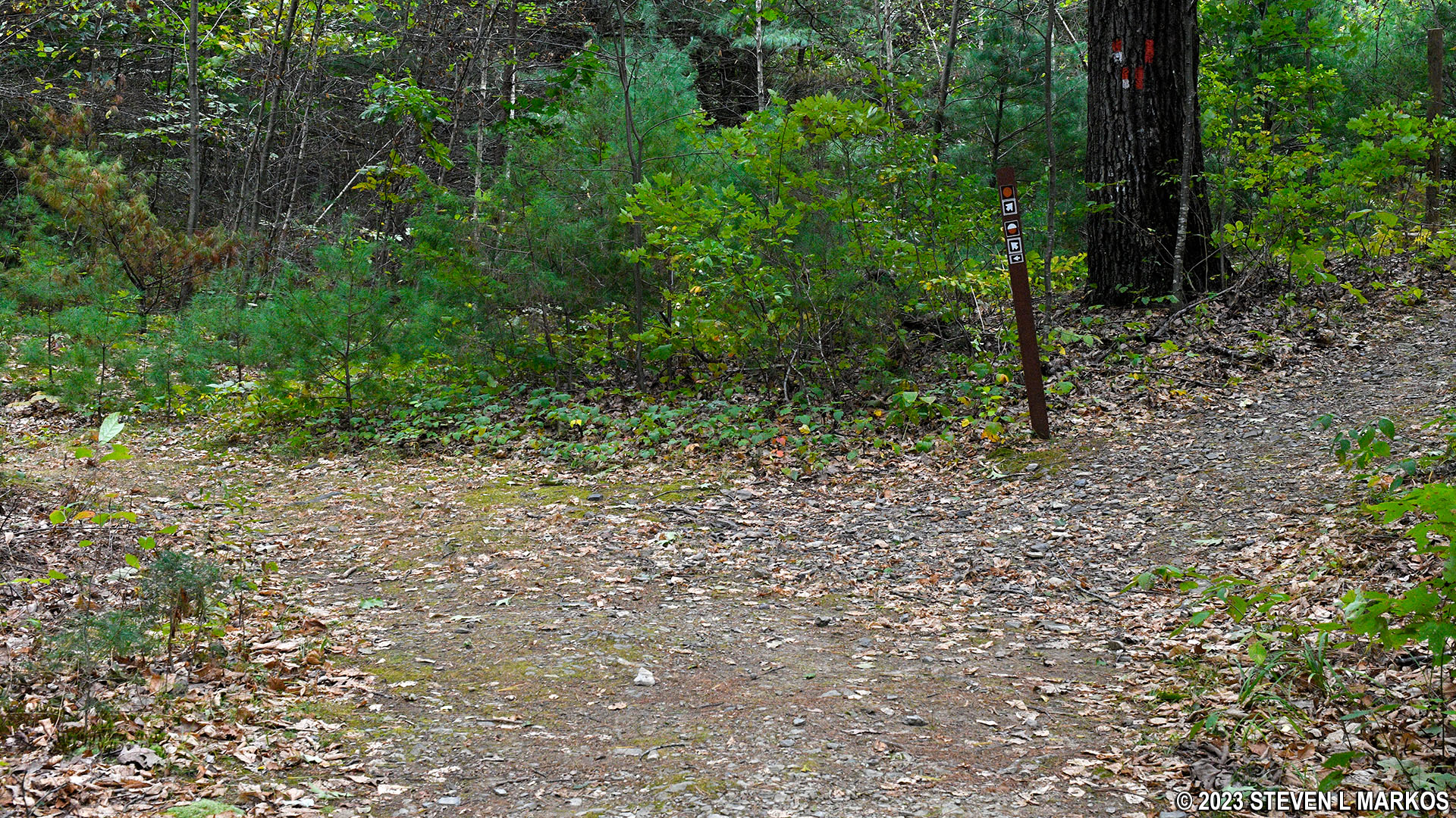
Intersection of the Buchanan Trail and connector to the Cliff Trail, Delaware Water Gap National Recreation Area
The Buchanan Trail levels out just before reaching the intersection with the yellow-blazed Hackers Trail, a trail that leads to the Hackers Trailhead parking lot on Raymondskill Road. The intersection comes .8 mile from the start of the hike. Stay straight to remain on the Buchanan Trail.
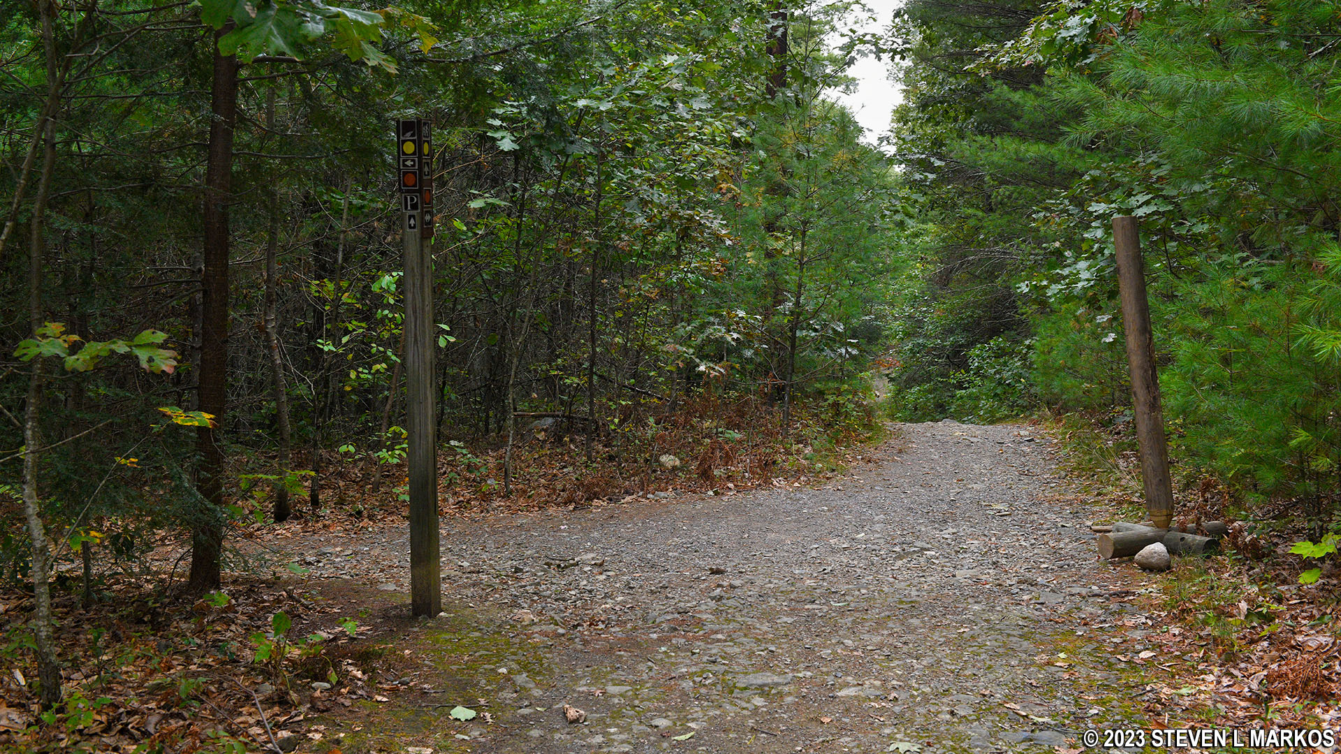
Intersection of the Buchanan Trail and Hackers Trail in the Cliff Park section of Delaware Water Gap National Recreation Area
From the Hackers Trail intersection, the Buchanan Trail is now downhill all the way back to the parking lot. Along the way you’ll pass an old building that is covered with graffiti. A path leads down to it, but the weeds were head high when I visited—prime tick habitat—so I stuck to the main trail. Shortly after that is a dilapidated mobile home.

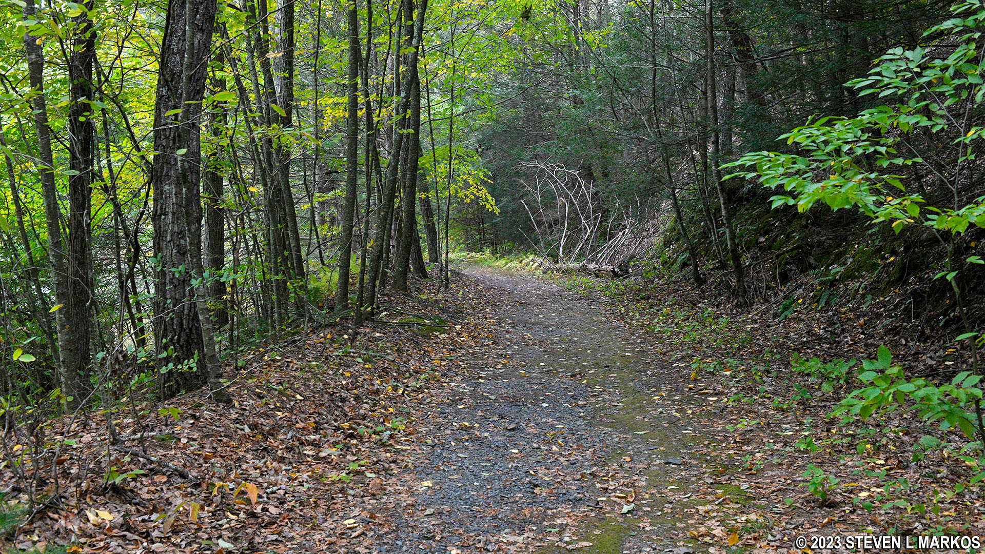
Typical terrain of the Buchanan Trail north of the Hackers Trail intersection, Delaware Water Gap National Recreation Area
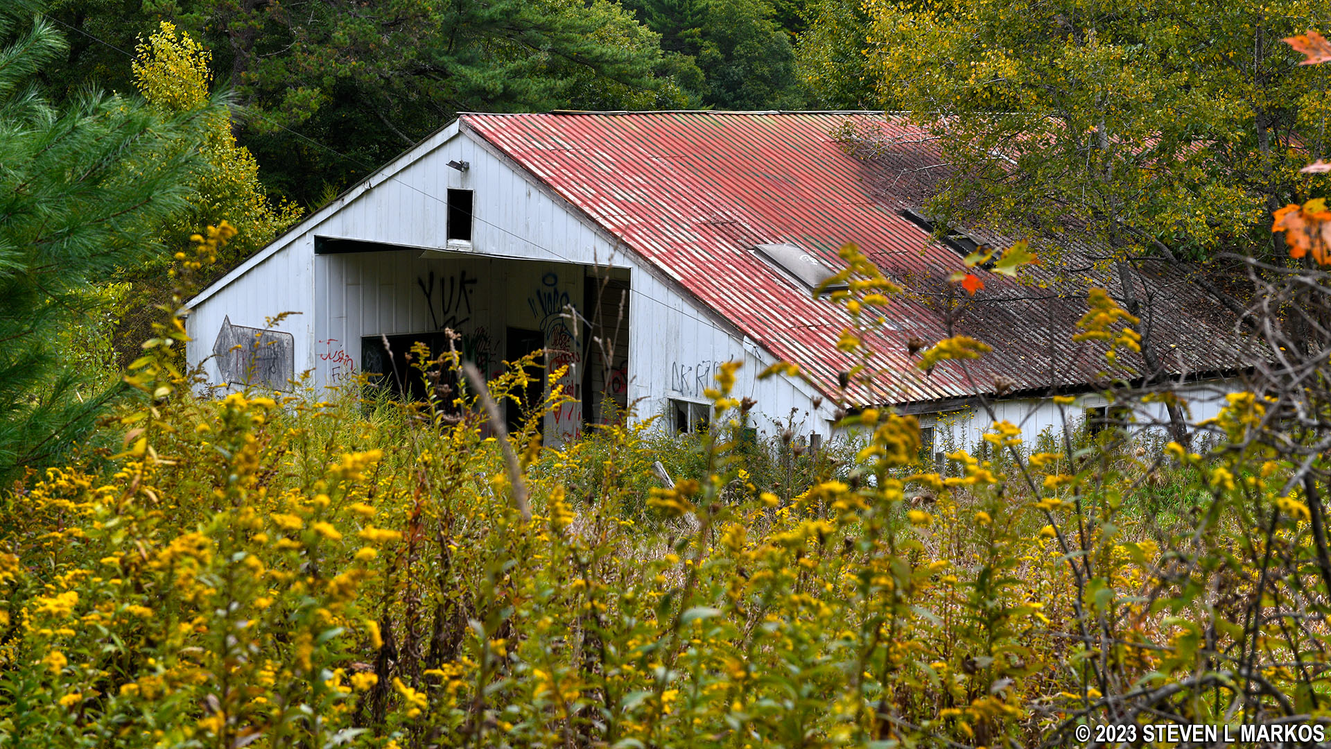
Old building at the northwest end of the Buchanan Trail in the Cliff Park section of Delaware Water Gap National Recreation Area
The Cliff Park Trailhead parking lot is just around the corner from the two buildings. From the Hackers Trail intersection, the distance is a little less than .4 mile, making the total hike 1.2 mile in length. The trail comes out by the fancy outhouse.
With a few exceptions, use of any photograph on the National Park Planner website requires a paid Royalty Free Editorial Use License or Commercial Use License. See the Photo Usage page for details.
Last updated on January 15, 2024


