
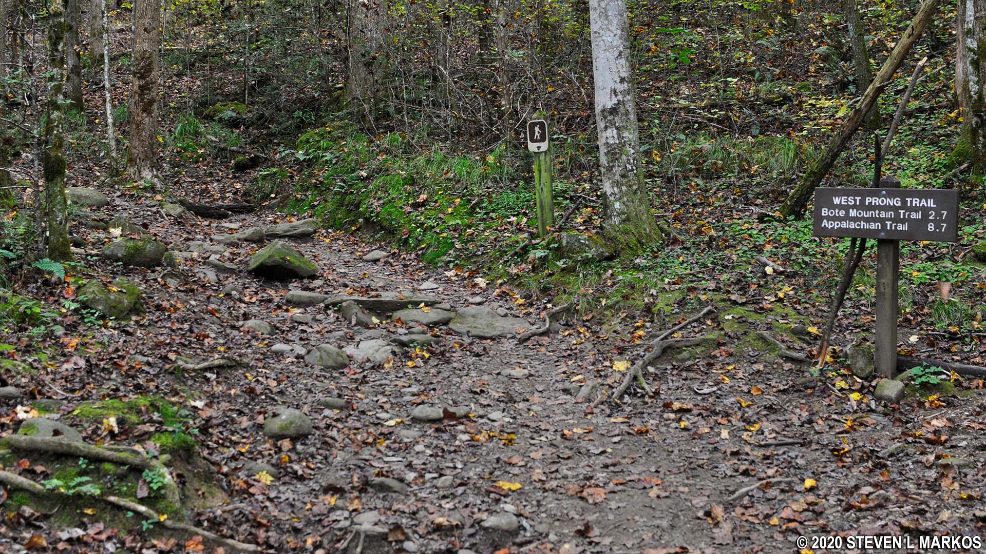
Start of the West Prong Trail at Great Smoky Mountains National Park
See the Tremont Region web page for an interactive location map.
Length: 2.2 miles (4.4 miles round trip) to Campsite #18
Time: 2.5 hours
Difficulty: Moderate
The West Prong Trail is located on Tremont Road near the Great Smoky Mountains Institute at Tremont. If coming from Townsend or Gatlinburg, Tennessee, you will pass this road on the way to Cades Cove. The trail runs 2.7 miles to the intersection with the Bote Mountain Trail, but I only hiked 2.2 miles to Backcountry Campsite #18, a good destination for a medium-length day hike.
The hike is pretty straightforward, as the West Prong Trail essentially scales a mountain for a mile, traverses a relatively flat area at the summit for three tenths of a mile, then descends down the other side of the mountain for the rest of the hike. It follows a narrow ridge, with a steep upward slope on one side and a steep downward slope on the other. For a trail in Great Smoky Mountains National Park, the surface has minimal rocks and roots, so you can make good time.
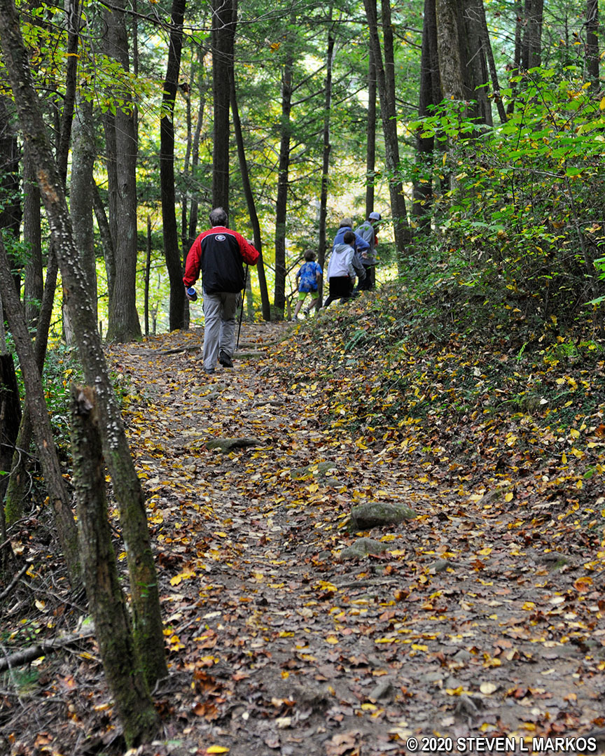
Hike up a mountain on the West Prong Trail in Great Smoky Mountains National Park
The hike up the mountain is moderate in difficulty, and the rate of ascent is nearly constant the entire time. The trail has an average grade of about 10%, which is what most recreational trails strive for. For comparison, a 5% grade is handicap accessible and 15% is where most people agree that difficult hiking begins.

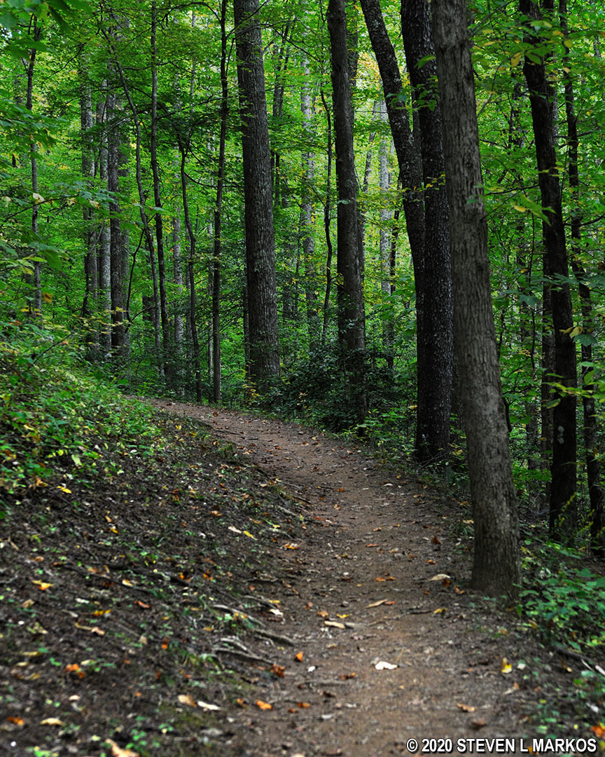
Typical terrain of the West Prong Trail in Great Smoky Mountains National Park
There is only one unmarked intersection to be aware of. At one mile into the hike is a fork that is not on the official trail map for Great Smoky Mountains National Park. The West Prong Trail continues uphill to the left. There is no sign identifying the trail to the right (which goes downhill).
The hike down the mountain is slightly steeper than the hike up, but still no more than moderate in difficulty. At the bottom, the West Prong Trail crosses a small creek, and a few minutes later is Campsite #18. The West Prong Little River runs right by the campsite. Calling it a river is a stretch, but it is a lovely creek with plenty of cascades. You can get a nice photo from a footbridge that crosses the creek, or you can walk downstream a short distance for a photo looking upriver at the bridge.
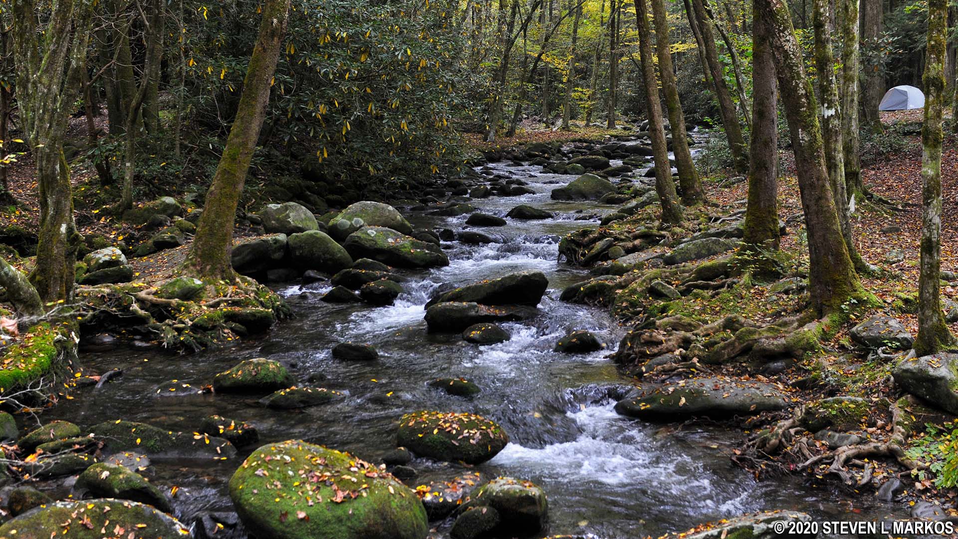
West Prong Little River near Backcountry Campsite 18 in Great Smoky Mountains National Park
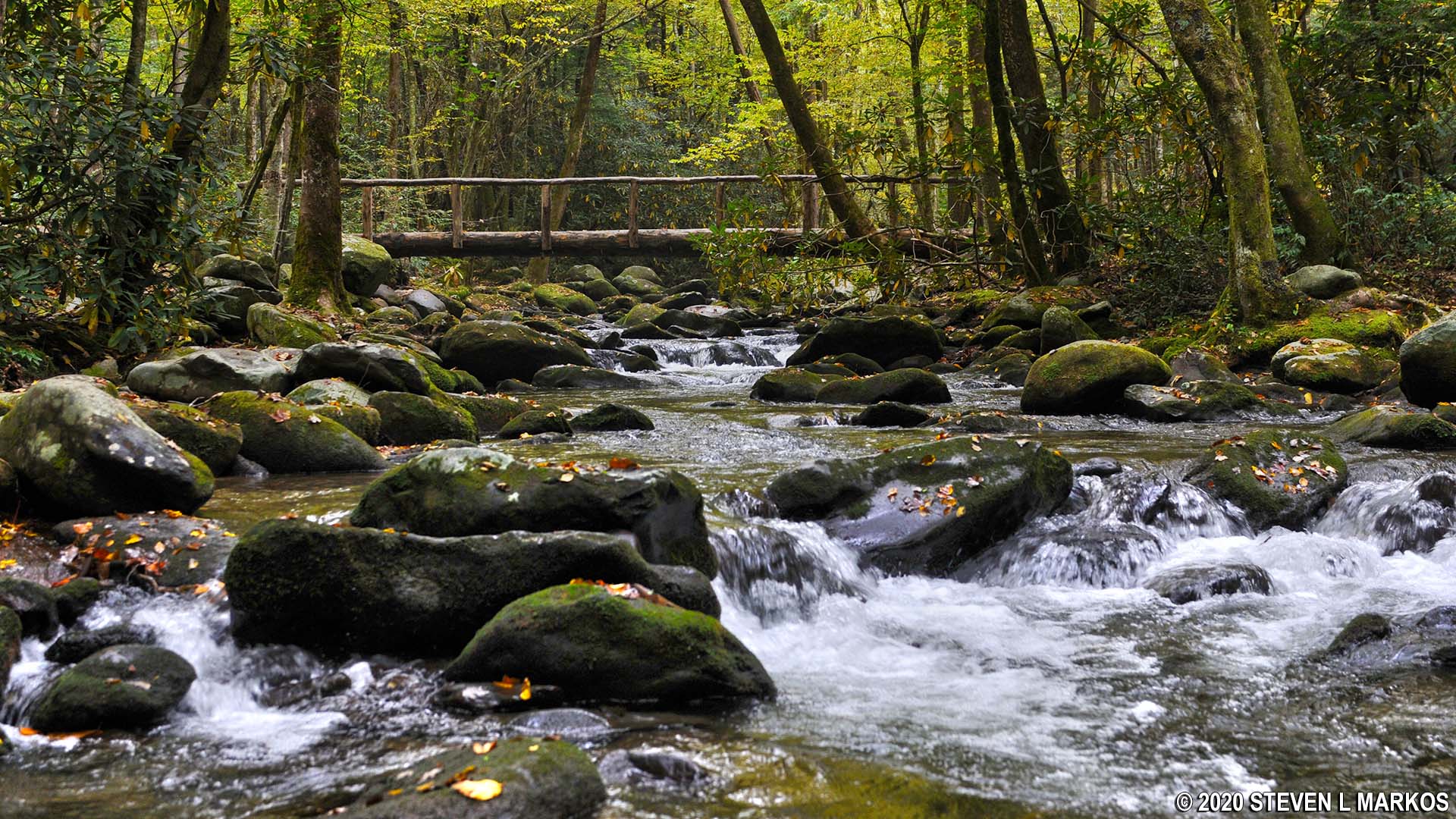
West Prong Little River near Backcountry Campsite 18 in Great Smoky Mountains National Park
The West Prong Trail continues for another half mile, but it does not follow closely to the West Prong Little River. Unless your destination lies farther ahead, a stop at the cascades near Campsite #18 is a good way to end the hike.
With a few exceptions, use of any photograph on the National Park Planner website requires a paid Royalty Free Editorial Use License or Commercial Use License. See the Photo Usage page for details.
Last updated on February 28, 2025


