
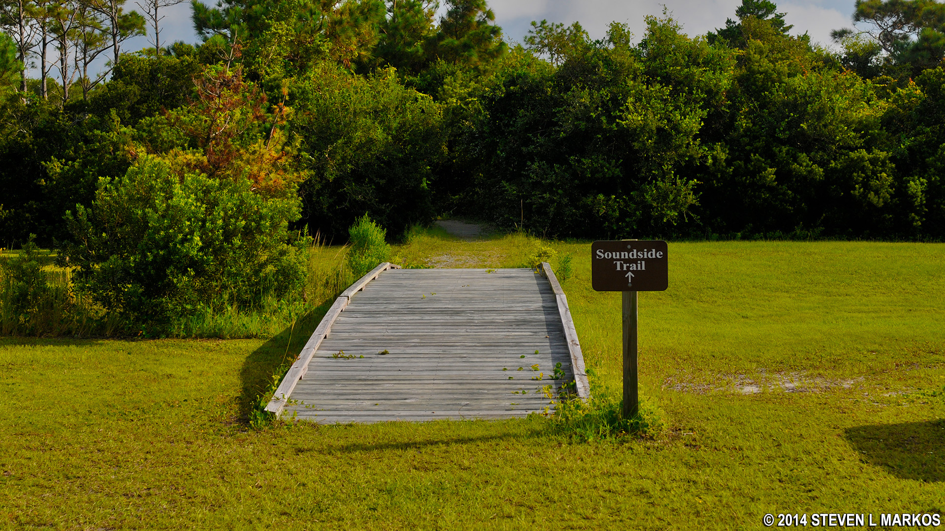
Trailhead for the Southside Trail at the Cape Lookout National Seashore Visitor Center on Harkers Island
Length: 1 mile
Time: 45 minutes
Difficulty: Easy, flat
The Southside Trail begins at the additional parking lot located behind the Harkers Island Visitor Center at Cape Lookout National Seashore. Look for the boardwalk bridge in the field in front of the lot. There is no trail map for the Southside Trail, and a map is not needed. All you need to know is how to find the trailhead.
The Southside Trail is an out-and-back trail with a short loop at the very end. The terrain is level the entire way, and the trail surface is mostly gravel, though every now and then you will be walking on earth or an occasional boardwalk. This trail is suitable for all ages and physical conditions. A person in a wheelchair could probably make it around with a little help.
The majority of the trail follows the shore of the Barden Inlet, running north to south along the very eastern tip of Harkers Island. In addition to seeing the water, you will have many opportunities to walk down to the shore (able-bodied people only). Along the shore is what appears to be black rocks, but if you step on one in the right way you will find that it crumbles easily, as it nothing more than hard-packed black sand.

Black, compressed sand on the shore of Barden Inlet at Harkers Island, Cape Lookout National Seashore

Crumbled, black sand deposits on the shore of Barden Inlet at Harkers Island, Cape Lookout National Seashore
There are also shafts of long dead trees sticking out of the sand. Sometimes an entire trunk remains. These are known as “ghost trees.” Such trees were once part of the maritime forest (which you walk through on this trail). Erosion of the island brings the edges of the forest to the shoreline, and the outlying trees are killed off by the salt spray. The tree trunks are then bleached by the sun.

Ghost trees on the shore of Barden Inlet at Harkers Island, Cape Lookout National Seashore
At the end of the trail is a salt marsh and a boardwalk that takes hikers out over the marsh and to the waters of the inlet. There are even benches at the end for those who want to sit and contemplate life. This is where you will find the most wildlife, mainly birds. For those interested in photography, be sure to carry a telephoto lens. Not knowing about this, I did not bring mine and could not get tight photos of the birds in the marsh. For a park nature trail, the Southside Trail is one of the better ones due to the salt marsh and ample photo opportunities along the way.

Salt marsh and wayside exhibit at the end of the Southside Trail at the Cape Lookout National Seashore Visitor Center on Harkers Island

Boardwalk to the Barden Inlet at the end of the Southside Trail at the Cape Lookout National Seashore Visitor Center on Harkers Island

Birds take advantage of the edible sea life in the salt marsh at Barden Inlet, Cape Lookout National Seashore
The trail is very straightforward, and there is no chance of getting lost or confused. It does intersect with trails that lead to the Core Sound Museum, but all intersections are well marked with signs to keep you heading in the right direction.
With a few exceptions, use of any photograph on the National Park Planner website requires a paid Royalty Free Editorial Use License or Commercial Use License. See the Photo Usage page for details.
Last updated on March 26, 2024


