

Chincoteague National Wildlife Refuge trail map (click to enlarge)
Virginia Hiking Trails main page
Length: .7 mile round trip to Assateague Channel
Time: 30 minutes (hike), 10 minutes (bike)
Difficulty: Easy
The Assateague Channel Trail is not named on the official Chincoteague National Wildlife Refuge trail map, so the name Assateague Channel Trail is my invention (I added the name to the above trail map). This is a paved path open to both hikers and bikers that leads to the Assateague Channel. You can access it from the parking lot at the northern end of the Wildlife Loop Road. If looking at the parking lot entrance and the main park road, the path starts at the right corner of the parking lot closest to the Wildlife Loop Road.
The only reason to hike the Assateague Channel Trail is to see the channel or to start a journey to the town of Chincoteauge, which is about 2.5 miles away. Once at the channel, cross the bridge to continue on to Chincoteague. There is a separate lane for pedestrians and bikers, so it is safe to cross. I only biked to the channel and back.
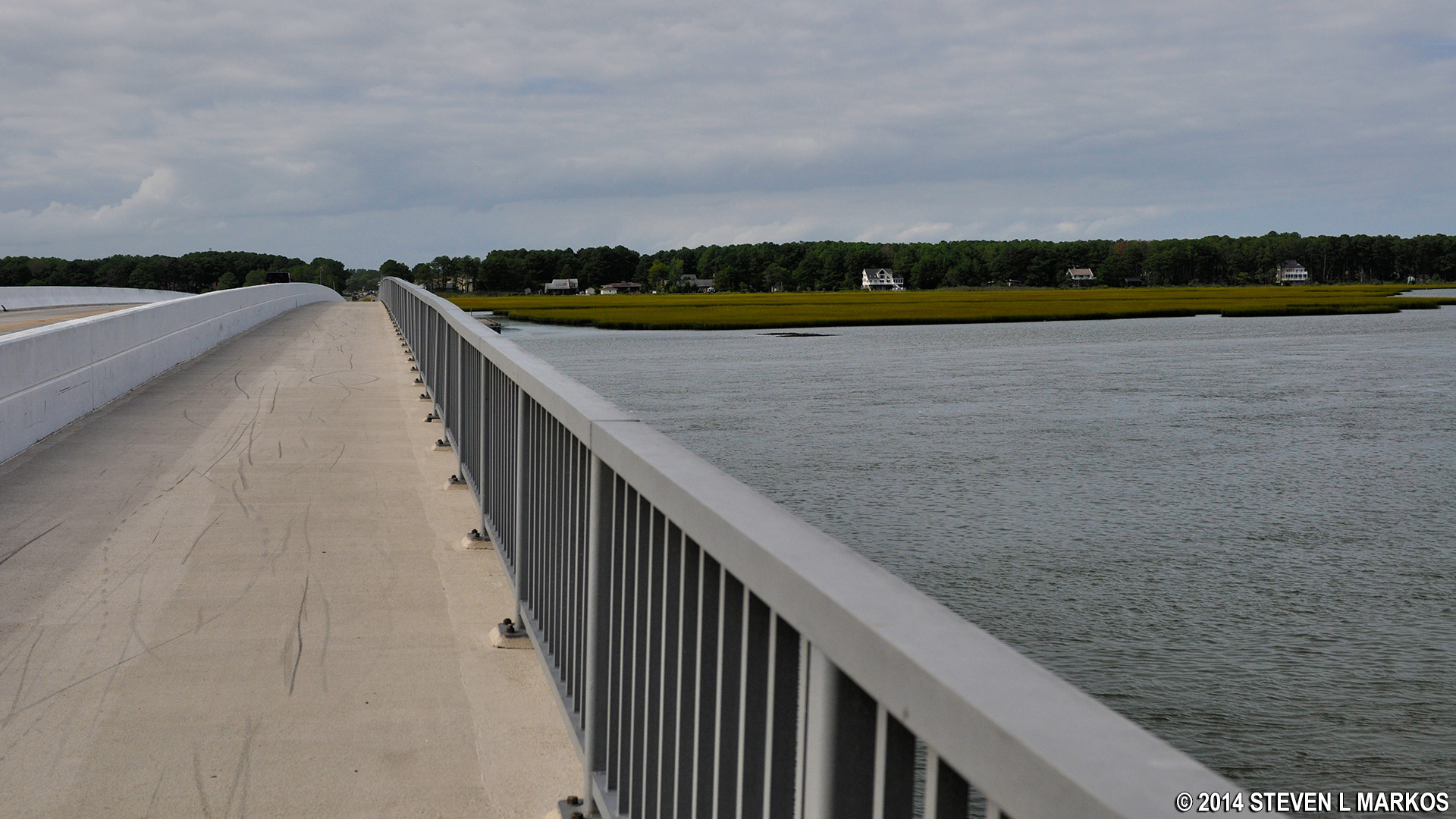
Pedestrian lane on the bridge over the Assateague Channel, Assateague Island National Seashore
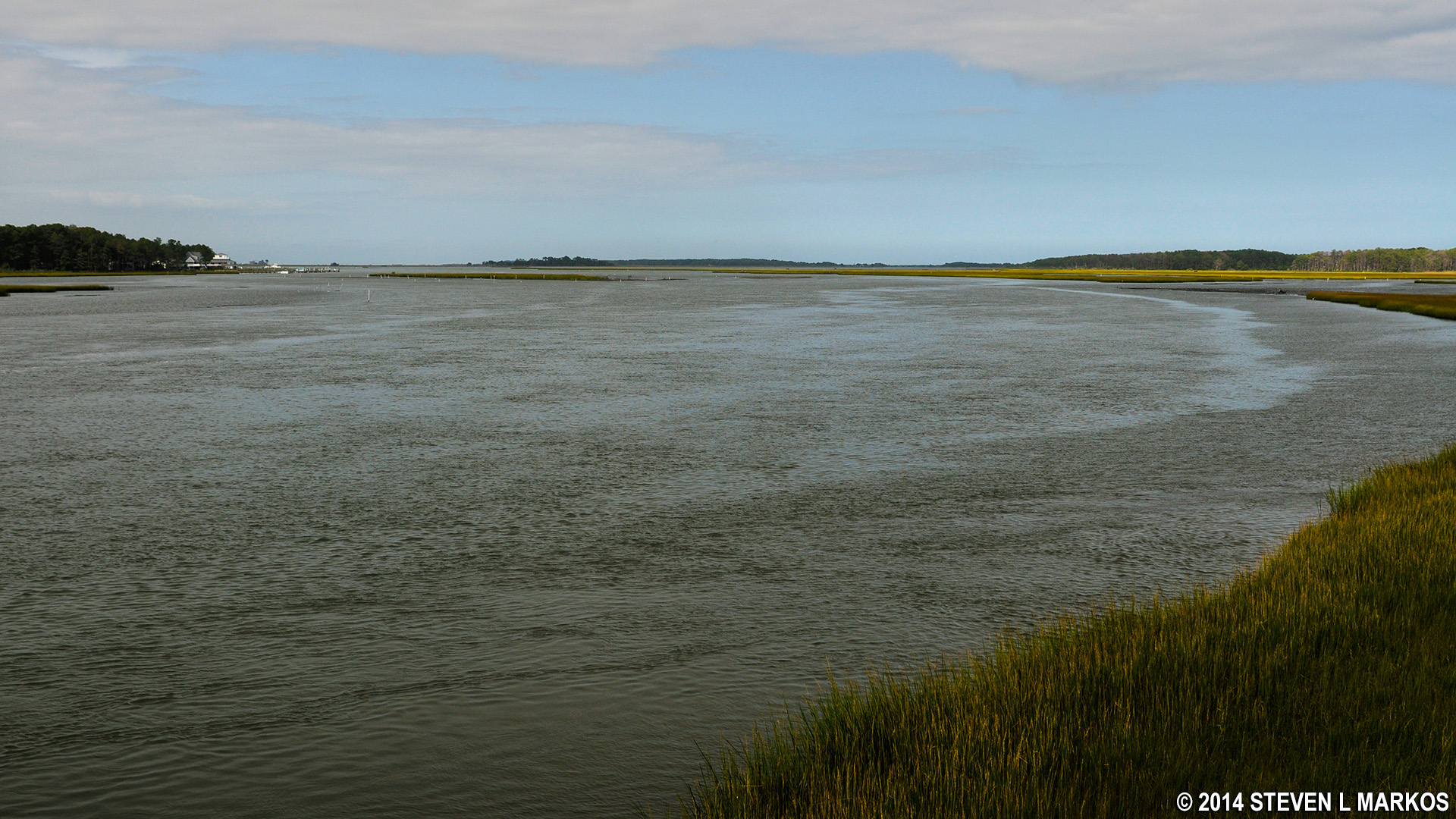
The Assateague Channel
With a few exceptions, use of any photograph on the National Park Planner website requires a paid Royalty Free Editorial Use License or Commercial Use License. See the Photo Usage page for details.
Last updated on September 19, 2023


