
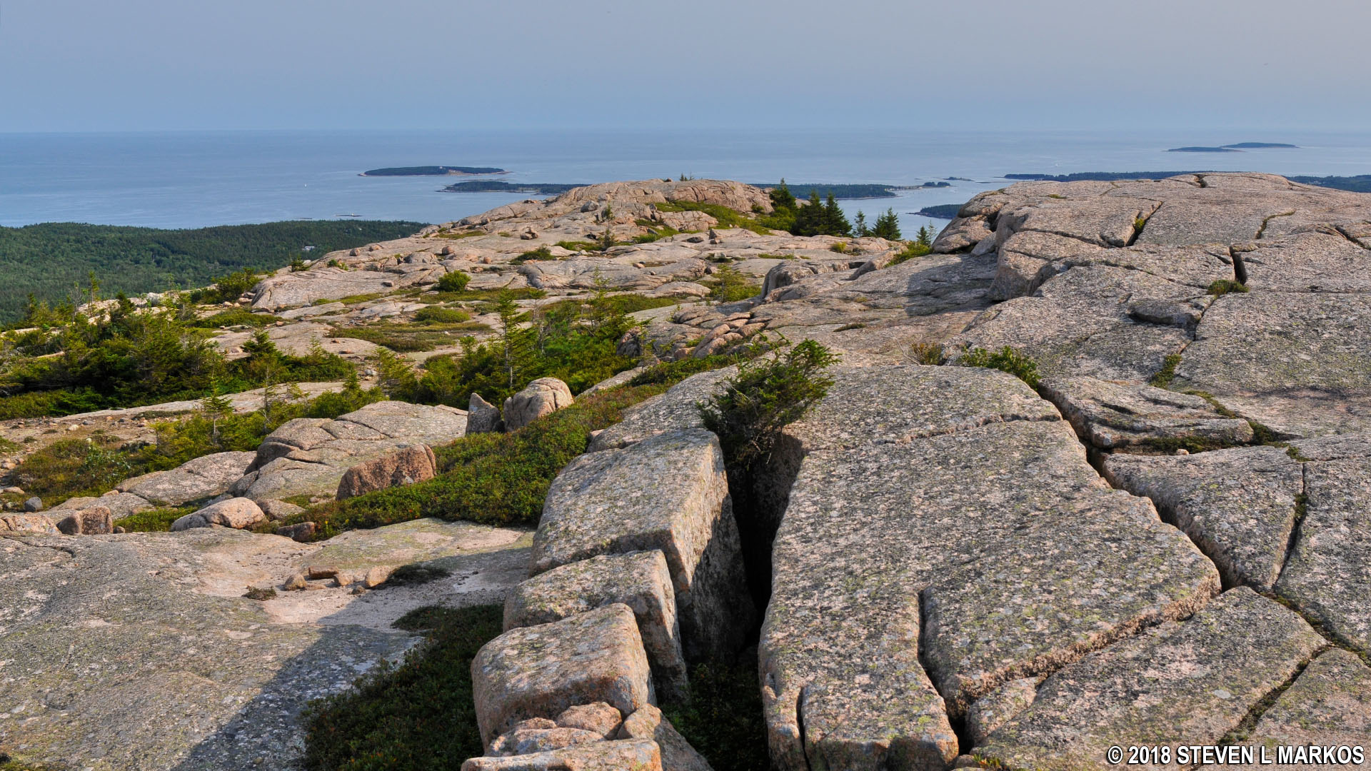
View from the summit of Acadia National Park’s Penobscot Mountain towards the Atlantic Ocean
NOTE: The following trail review discusses the slope of the trail, which is called a grade. This is not the angle of the slope, but the calculation of rise (climb in elevation) divided by run (length of horizontal progress) expressed as a percentage ((rise/run) x 100). For example, using feet as the unit of measurement, a 10% grade means that a trail climbs 10 feet for every 100 feet in length. Positive grades are inclines and negative grades are declines; National Park Planner uses positive numbers in all cases, but gives a written indication of whether a slope is uphill or downhill. The grade given for an entire trail is an average, so mountainous trails may have sections with extremely steep grades as well as level areas. For reference:
- A wheelchair accessible trail has a grade of no more than +/-5%
- Most recreational trails are designed to be no more than +/-10%, with a steeper segment every now and then
- Most people agree that a +/-15% grade is where things begin to get really steep
- Stairs in a typical house and the steepest ski slopes have a grade of 60%
- A 45º angle is equal to a grade of 100%
- A stepladder has a grade of 260%
- A wall perpendicular to the ground (straight up) has a grade of infinity
To put Acadia National Park mountain trails into perspective, the average grade from the first Nepal base camp to the summit of Mount Everest is 17%, while the average grade from South Col (final camp) to the summit is 60%. Average grades of many trails in Acadia exceed Everest’s 17%, and short stretches go way beyond 60%. The difference, aside from ice and snow, is that the 60% grade of the South Col to Everest summit hike covers 3,100 vertical feet and lasts for a mile, whereas a 60% grade at Acadia may last a few hundred feet. The tallest mountain in Acadia is only 1,530 feet, so even if the grade was 60% from bottom to top, the hike would still only be half as long as the Everest summit hike.
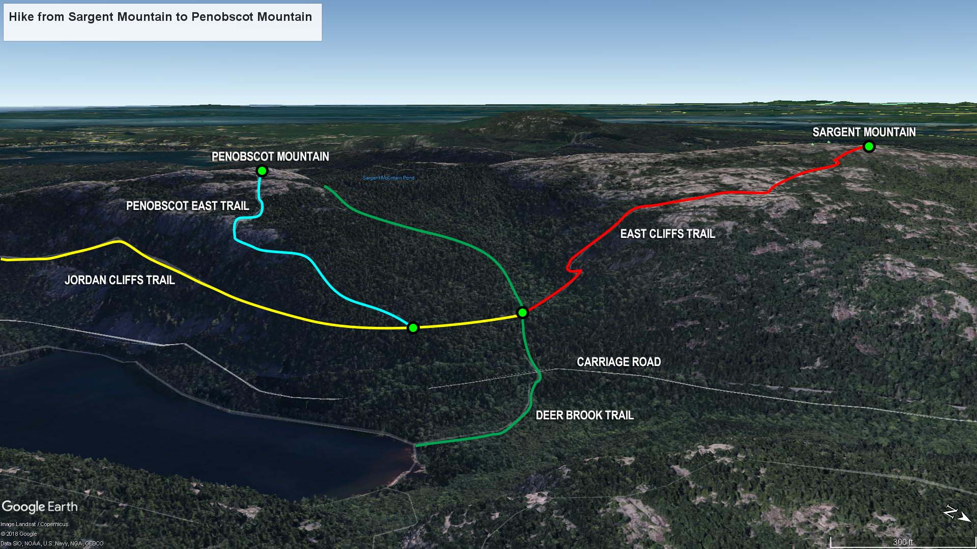
Sargent Mountain to Penobscot Mountain trail map (click to enlarge)
I hiked to the top of Penobscot Mountain as part of my hike to six mountain summits just west of Acadia National Park’s Jordan Pond on Mount Desert Island. This is the fifth leg of the journey, and it starts from the top of Sargent Mountain. See the Six Mountain Summit Hike web page for details on the previous segments of the hike.
Length: 1.4 miles
Time: 2 hours
Difficulty: Extremely strenuous
From the parking lot on Highway 3 just north of Upper Hadlock Pond, the hike to the summit of Sargent Mountain is 2.5 miles. The journey now continues to Penobscot Mountain, and there are two ways to get there. The shortest route, at one mile, is along the Sargent South Ridge and Penobscot Mountain trails. For some reason, after hiking to the top of four mountains and having two more to go, that sounded too easy, so I opted to take a longer route along the East Cliffs, Jordan Cliffs, and Penobscot East trails, a distance of 1.4 miles. If you are looking at the Sargent Mountain summit sign, the trail starts behind you.


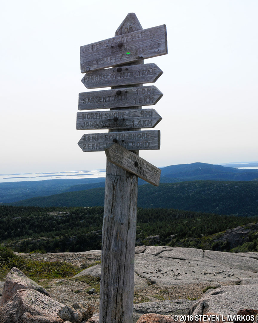
Summit and direction sign at the top of Sargent Mountain in Acadia National Park
The hike begins on the East Cliffs Trail along a steep series of granite ledges with drops of 2-3 feet between each one, similar to what you would find on a mountain that has been quarried. These drops last for a tenth of a mile before the trail reaches a final ledge that gradually slopes to the south. This is where you will catch your first glimpse of Jordan Pond, and you should also be able to see Penobscot Mountain from here.
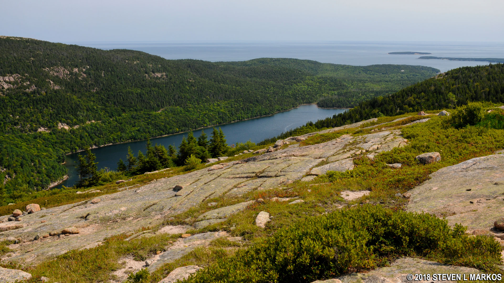
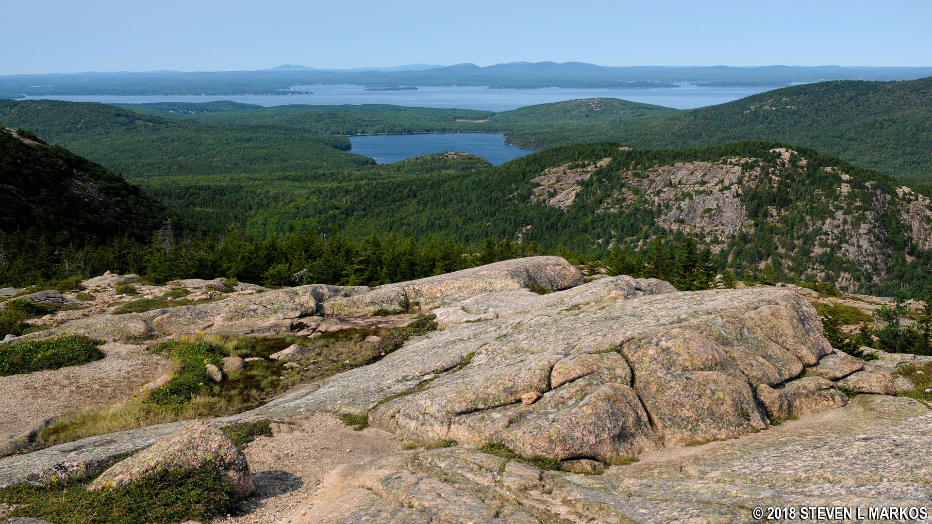
View of Jordan Pond from Sargent Mountain in Acadia National Park
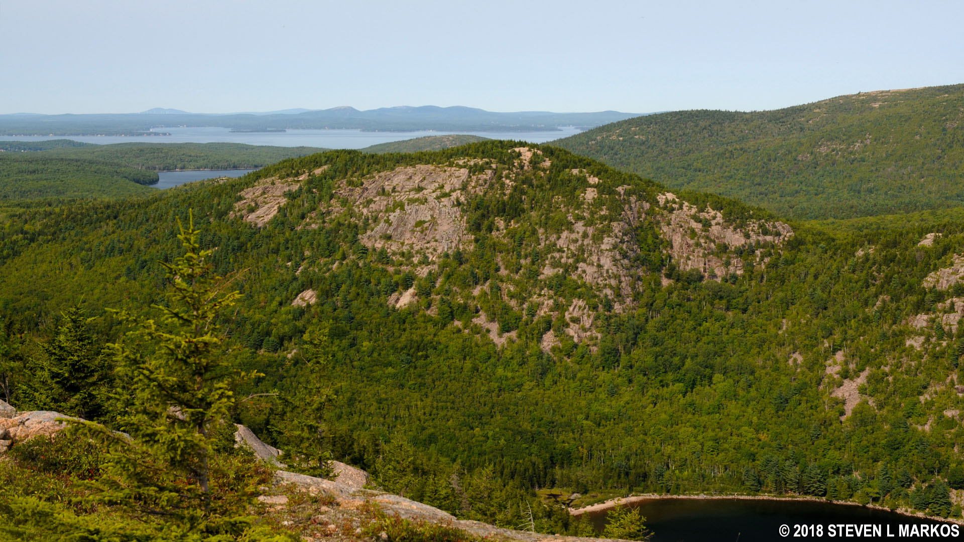
View of Penobscot Mountain from Sargent Mountain in Acadia National Park
The best way to describe the next part of the hike is to once again use my American football analogy. Picture Sargent Mountain as a football that has been cut in half lengthwise and placed on the ground. The East Cliffs Trail does not run towards the tip of the football along a gradual slope, but it does not plunge straight down the steep side either (at least not yet). Instead, it proceeds at a 45° angle between the end and the side of the ball, so while it heads downhill, it doesn’t cover much vertical ground in relation to the distance traveled. As a result, you start off on an easy hike with a grade of around 10% that lasts for a third of a mile.
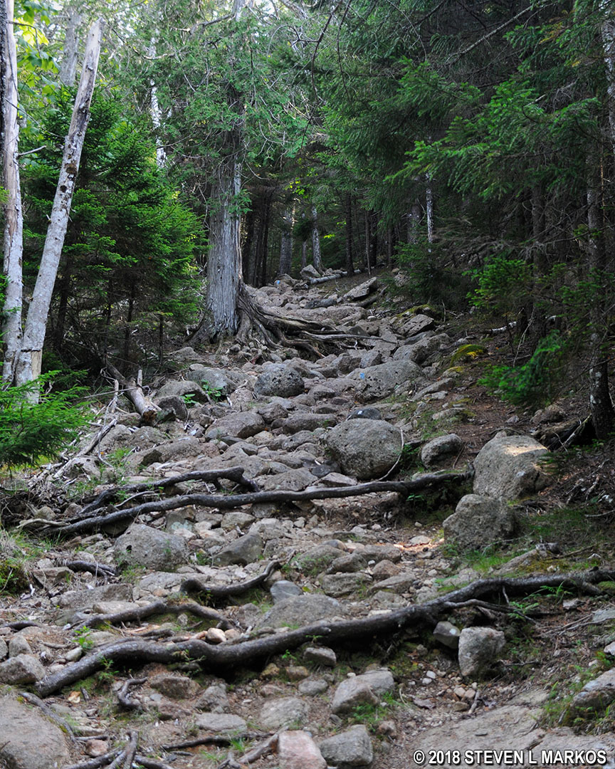
As with all trails on this hike, the East Cliffs Trail eventually leaves the open terrain of the mountain top and enters into the forest on what is essentially a rockslide. Hopes of a gradual descent all the way to the bottom are dashed as the trail opts to take the shortest route—straight down a cliff on what is by far the hardest section of the Six Mountain Summit Hike. I suppose this is why it is called the East Cliffs Trail.
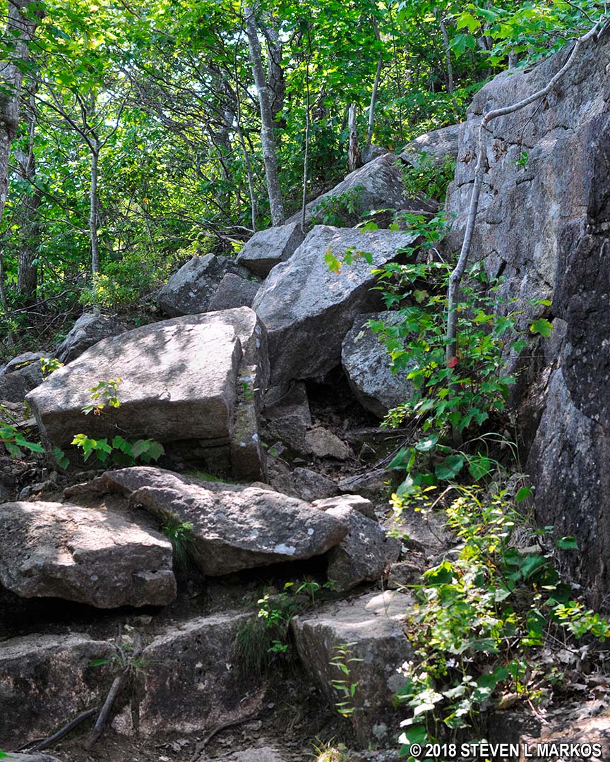
Boulder field on the East Cliffs Trail in Acadia National Park
From the forest to the valley floor is .25 mile and the descent is 425 feet, an average grade of 32%. That is the steepest quarter-mile stretch of any trail I hiked at Acadia National Park, including the Precipice Trail, Beehive Trail, and Acadia Mountain Trail.
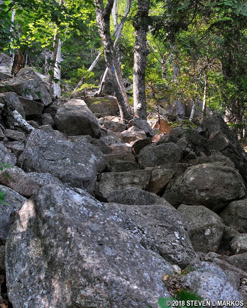
View up the East Cliffs Trail in Acadia National Park
The hike is a constant series of steps from one boulder to another with drops ranging from 1-3 feet. In some places stone staircases have been built, but sometimes the only option is to slide down, so be sure to wear long pants, otherwise your legs are going to get torn up. I had hiking poles that helped relieve the pounding on my knees, and I couldn’t imagine coming down without them. A lady coming up the mountain was doing so on all four limbs, plus she had her dog pulling her. It took me a half hour to hike the quarter mile to the bottom.
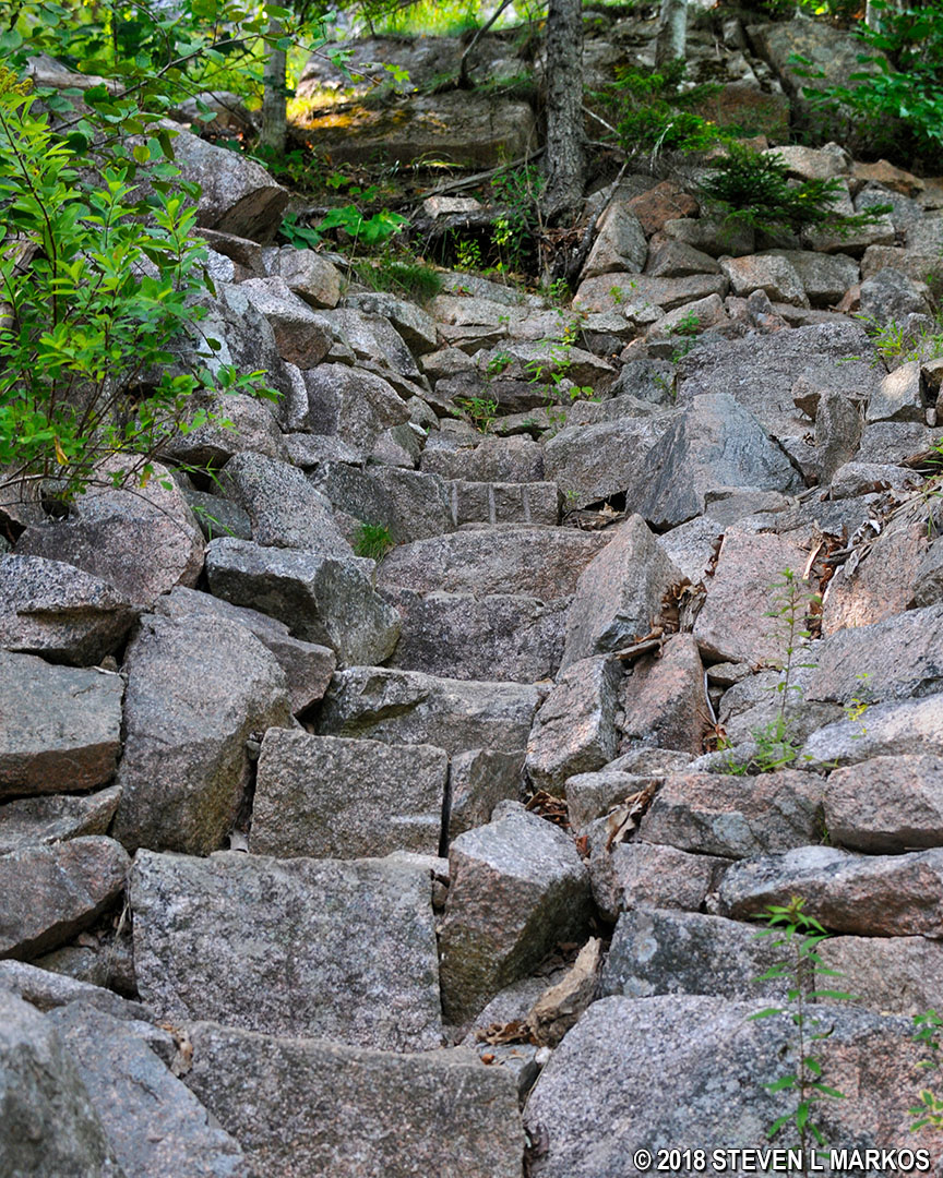
Stone staircase on the East Cliffs Trail in Acadia National Park
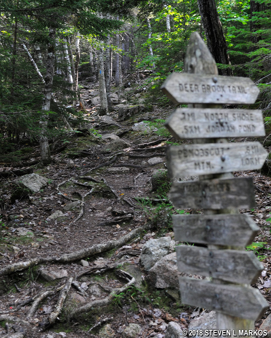
The East Cliffs Trail ends at the bottom of Sargent Mountain at the intersection with the Deer Brook Trail and the Jordan Cliffs Trail. You can get to the summit of Penobscot Mountain on either one, and both routes are about the same distance, .6 mile. I opted to continue straight on the Jordan Cliffs Trail…because it didn’t yet dawn on me that trails with the word cliffs in their name meant that they climbed cliffs. Oh well.
Start of the Jordan Cliffs Trail in Acadia National Park
I actually got lucky because my hike only follows the Jordan Cliffs Trail for a third of a mile, and this part isn’t very steep (the rocky and rooty terrain, however, was nearly un-hikable). While my time on the Jordan Cliffs Trail ended at an intersection with what I believe is the Penobscot East Trail (no name was on the sign at the intersection), it continues south, following the shore of Jordan Pond, but high above it. I ran into a man and woman who started out that way, but returned because rungs and ladders are used to climb the cliffs, and the woman was afraid to do it. The sign at the intersection does have a plaque that reads, “Caution, exposed cliffs, fixed iron rungs,” referring to the Jordan Cliffs Trail.
Typical terrain of the lower part of the Jordan Cliffs Trail in Acadia National Park
To reach the top of Penobscot Mountain, follow the directional sign at the intersection to Penobscot Mountain. To verify that you are heading in the correct direction, you should see a rock wall with blue blazes streaking up it from the intersection—that’s the trail. It’s a near-vertical climb with no rungs or ladders attached to the wall to help. You must put away your hiking poles if you have them and grasp crevices in the rocks to pull yourself up. The only saving grace is that the climb is short.
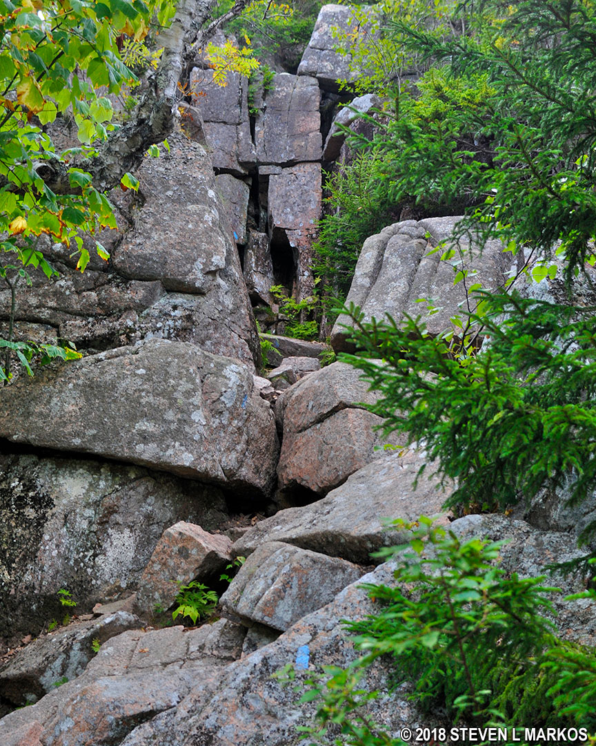
Rock wall at the start of the hike up Penobscot Mountain on the Penobscot East Trail in Acadia National Park
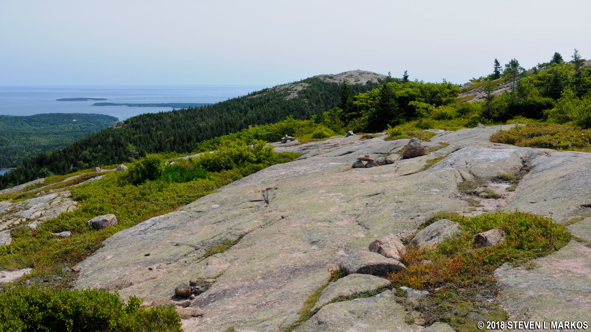
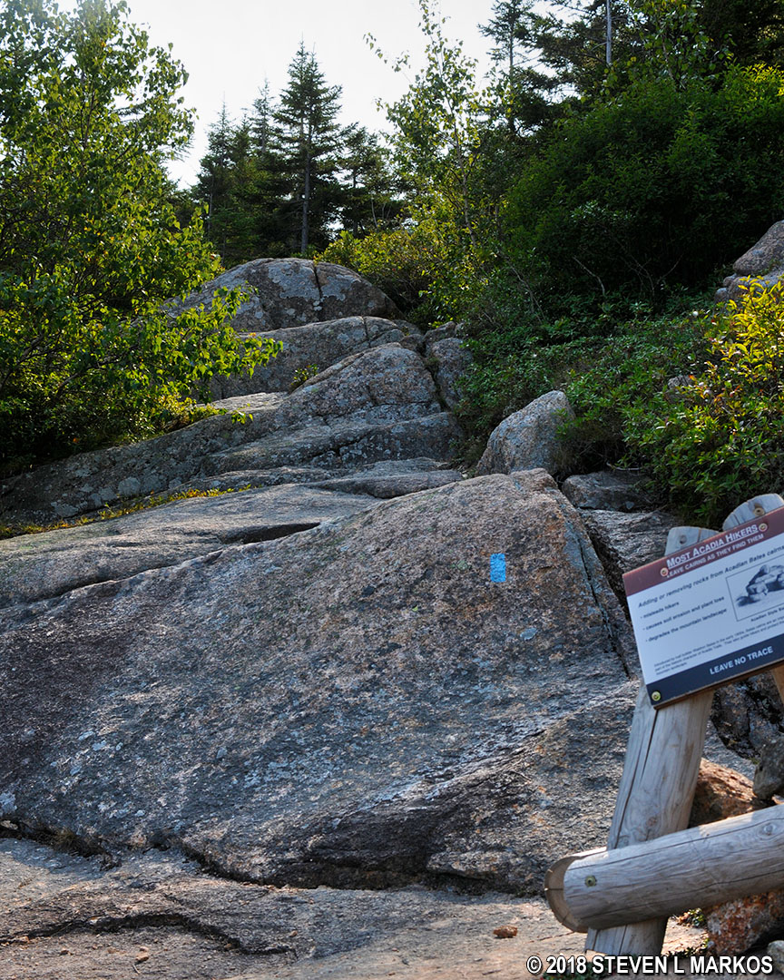
At the top of the wall, the trail once again emerges from the forest and continues in the open across granite slabs and boulders. This is one of the easier climbs to a summit, having an average grade of only 14%. If you look back, you can see a mountain simply called South Bubble, and there are nice views of Jordan Pond. Get your photos now, because you don’t get a view of the pond from the summit.
Typical terrain on the exposed granite section of the Penobscot East Trail in Acadia National Park
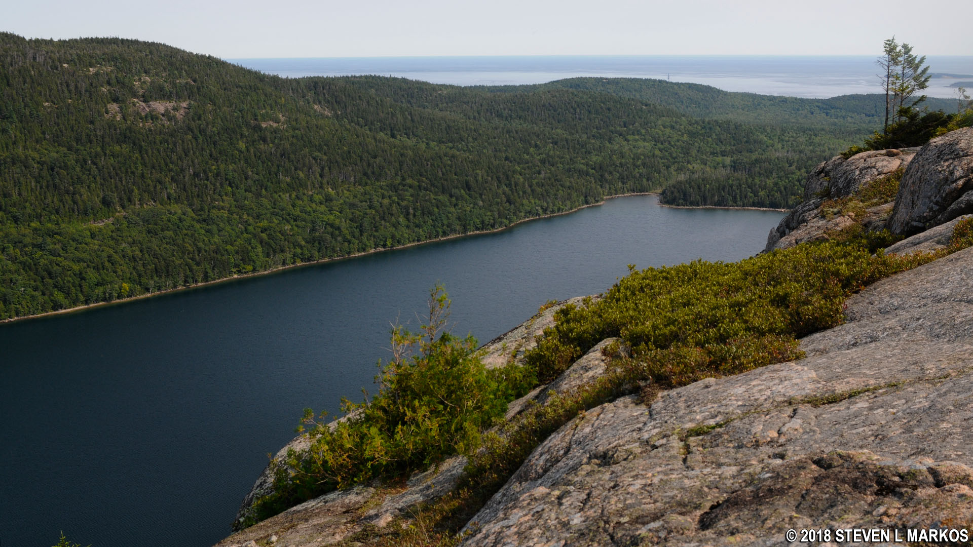
View of Jordan Pond from Acadia National Park’s Penobscot Mountain
View of the South Bubble from Acadia National Park’s Penobscot Mountain
The final push to the summit is like hiking up a steep driveway, so all you need is shoes with good grip and you’ll make it in no time.
Approaching the summit of Penobscot Mountain on the Penobscot East Trail in Acadia National Park
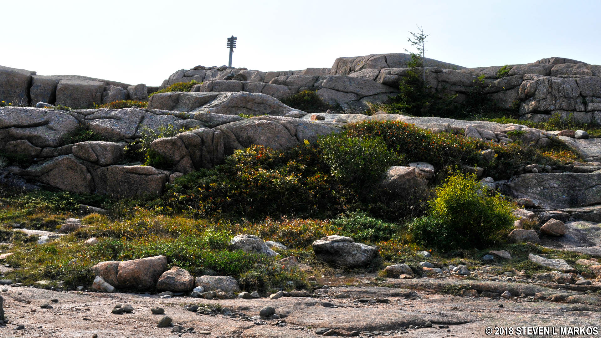
Like the top of Sargent Mountain, the top of Penobscot is a large and fairly level granite field. Views from the actual summit, which is marked by a trail sign that indicates the peak’s elevation, aren’t very good, but you have a quarter-mile round trip walk across the mountain top to reach the prime observation areas. By this point I was dead tired, and the views are just variations of what I had seen before, so I opted to take what photos I could from the summit sign, and after a short rest, continue the hike.
Acadia National Park’s Penobscot Mountain summit marker
View north towards Eagle Lake from the top of Acadia National Park’s Penobscot Mountain
The next destination is Cedar Swamp Mountain. See the Penobscot Mountain to Cedar Swamp Mountain Hike web page for details on this segment of the Six Mountain Summit Hike.
With a few exceptions, use of any photograph on the National Park Planner website requires a paid Royalty Free Editorial Use License or Commercial Use License. See the Photo Usage page for details.
Last updated on August 29, 2023


