
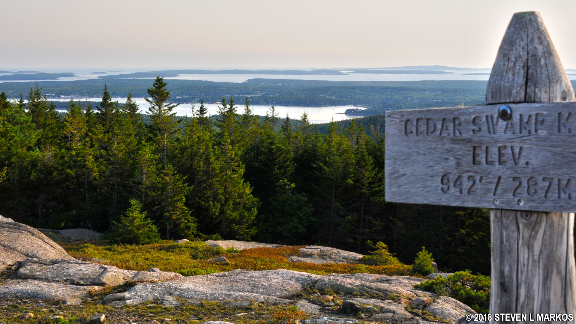
View south from the Cedar Swamp Mountain summit in Acadia National Park
I hiked to the top of Cedar Swamp Mountain as part of my hike to the summit of six mountains just west of Acadia National Park’s Jordan Pond on Mount Desert Island. This is the sixth leg of the journey, and it starts from the top of Penobscot Mountain. See the Six Mountain Summit Hike web page for details on the previous segments of the hike.

Penobscot Mountain to Cedar Swamp Mountain trail map (click to enlarge)
Length: 1.1 mile
Time: 1.25 hours
Difficulty: Strenuous
When you reach the summit of Penobscot Mountain you will have traveled 3.9 miles since starting the Six Mountain Summit Hike. The next destination is Cedar Swamp Mountain, and the hike begins from the top of Penobscot Mountain on the Penobscot Mountain Trail. From the summit, follow the directional sign towards Sargent Mountain. This will set you off hiking downhill towards the intersection with the Deer Brook Trail, a tenth of a mile away. The terrain is quite steep just before the intersection, but easy compared to what has come before.
Typical terrain of the Penobscot Mountain Trail near the Deer Brook Trail intersection, Acadia National Park
At the intersection, continue on the Penobscot Mountain Trail towards Sargent Mountain. This section of the hike lasts for .2 mile and dead ends into the Sargent South Ridge Trail. It is book-ended by extremely steep but short ascents over rocky terrain.
Extremely rocky terrain just past the Penobscot Mountain Trail / Deer Brook Trail intersection, Acadia National Park
In between the two steep climbs, the trail passes right along the shore of Sargent Mountain Pond.
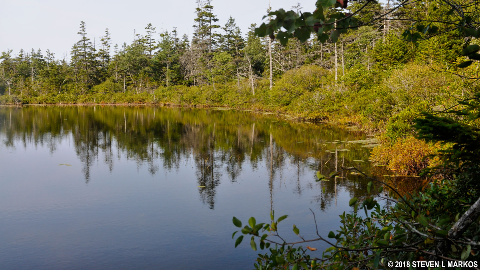
Sargent Mountain Pond in Acadia National Park
When you finish the second steep climb at the end of the Penobscot Mountain Trail, you will find yourself on an unnamed mountain peak nearly as high as Penobscot Mountain. This is also the location of the intersection with the Sargent South Ridge Trail. Take this trail in the opposite direction of Sargent Mountain to continue the hike.

Start of the hike to Acadia National Park’s Cedar Swamp Mountain on the Sargent South Ridge Trail
The hike on the Sargent South Ridge Trail starts off across the unnamed peak, and there are nice views of the mouth of Somes Sound, Northeast Harbor, and the surrounding islands.
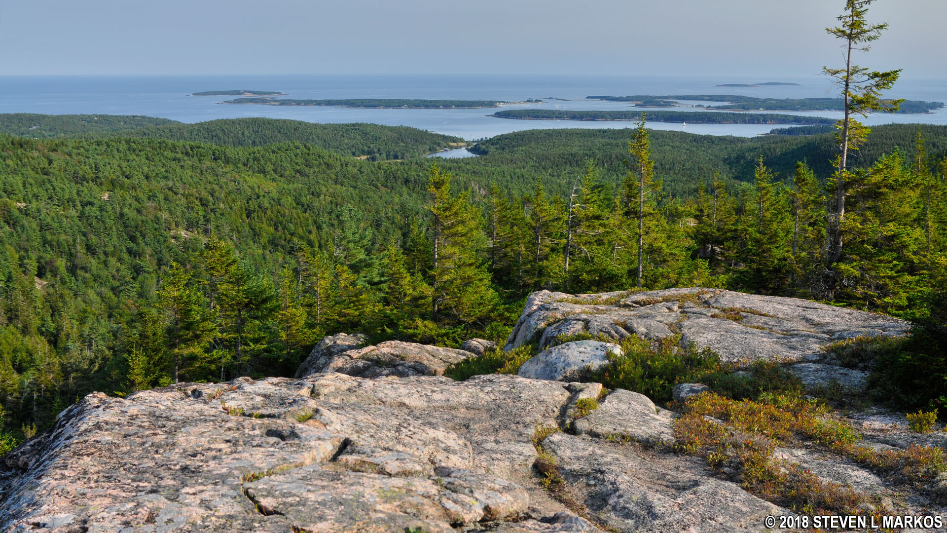
View towards the Atlantic Ocean from the Sargent South Ridge Trail in Acadia National Park
The trail heads downhill on a fairly steep slope, but nothing extreme, and mostly on granite slabs. It is sometimes hard to follow, so it is important that you understand how the trail is marked. Blue paint splotches called blazes are either painted on the rocks or on the trees. These function as Hansel and Gretel breadcrumbs, so when in doubt as to which way to go, look for the blazes. In areas where there are no trees, cairns are also used to mark the trail. These are distinct piles of rocks placed on barren surfaces. You typically can see from one blaze or cairn to the next, and if not, you should see one within a few minutes of hiking if you are going in the right direction.
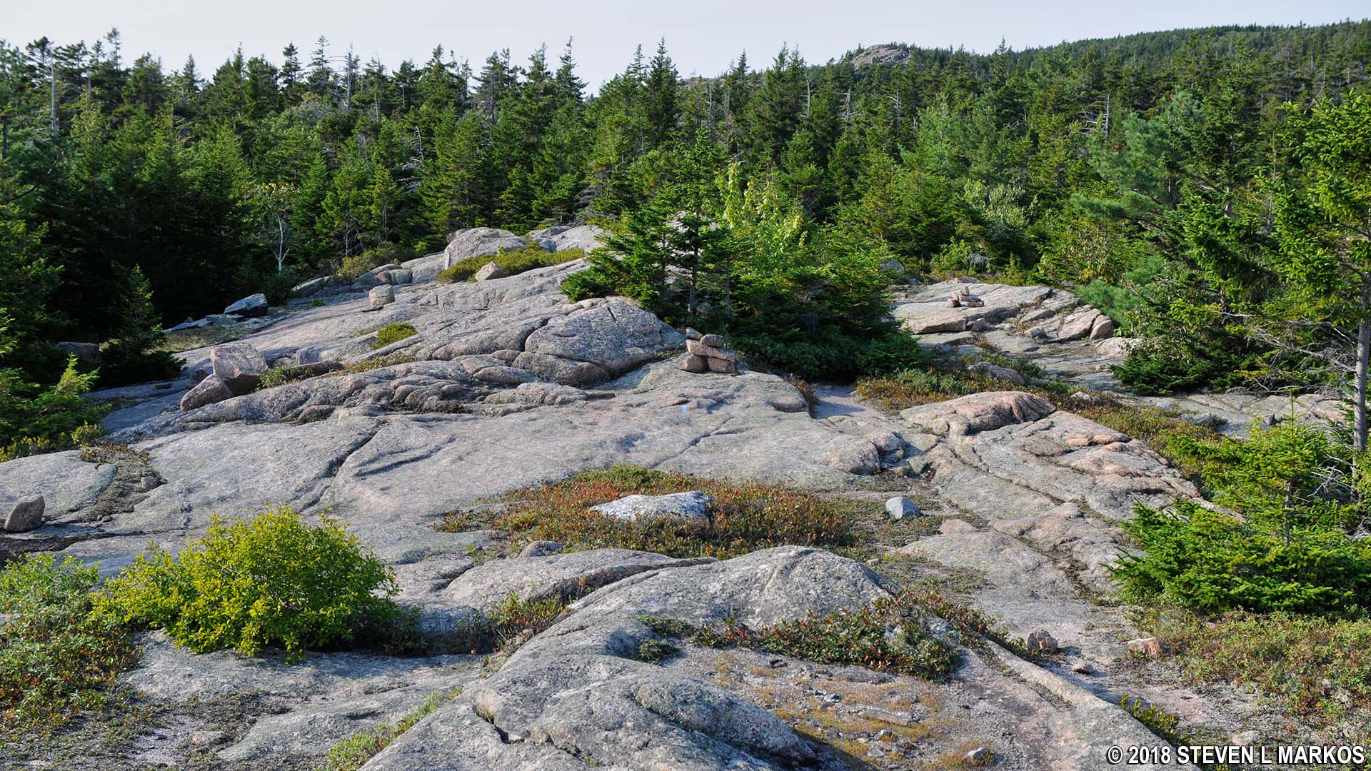
Granite surface of the Sargent South Ridge Trail in Acadia National Park
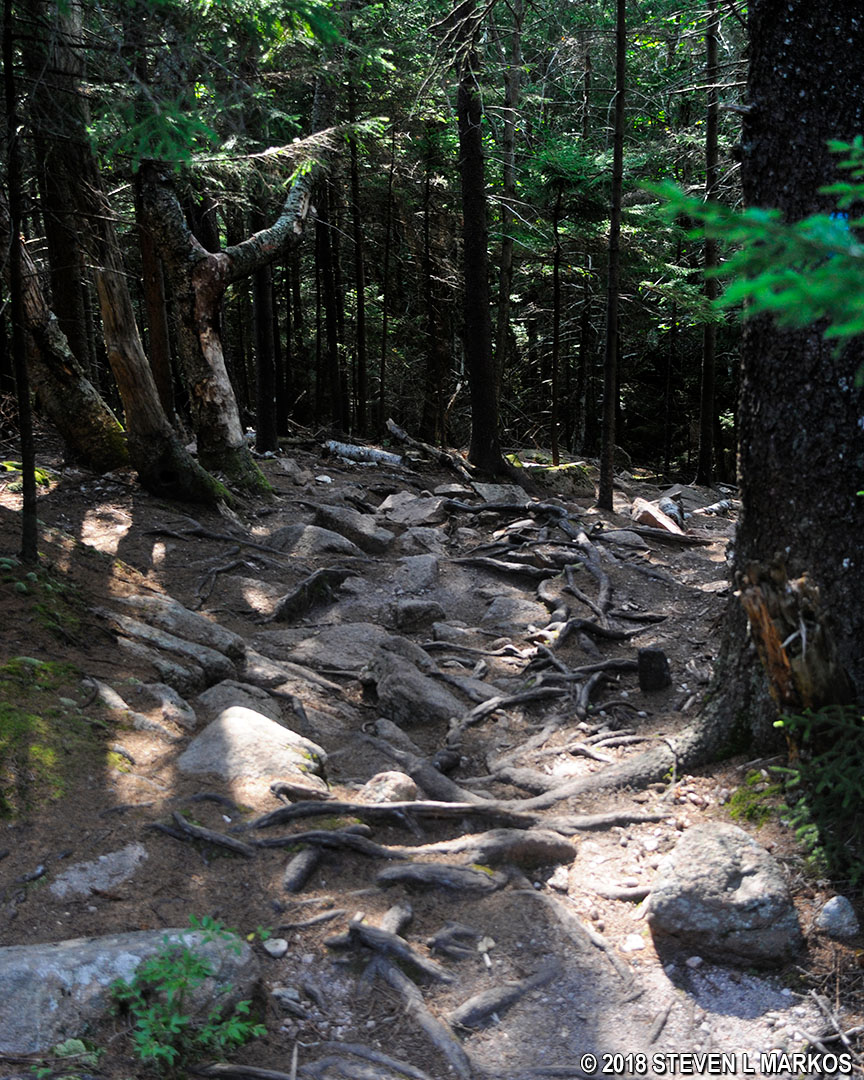
The very end of the Sargent South Ridge Trail passes through the woods on a surface full of rocks and roots.
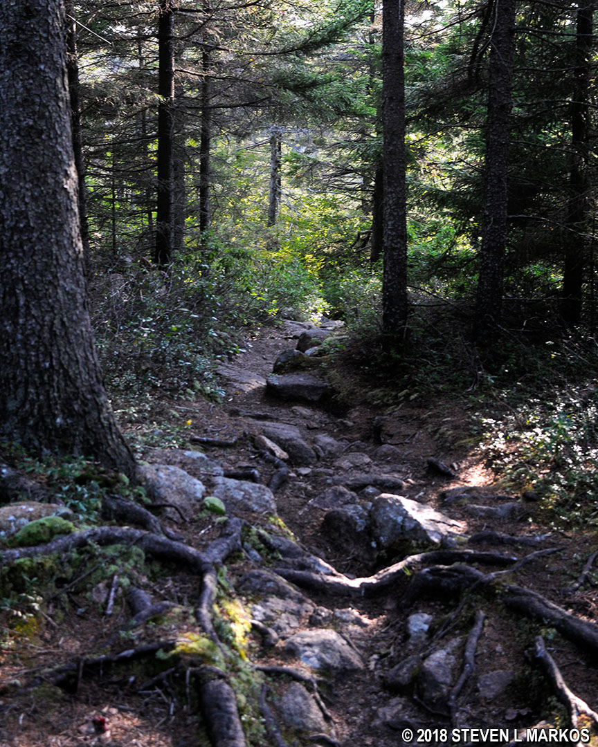
Typical terrain near the intersection of the Sargent South Ridge and Amphitheater trails, Acadia National Park
After .7 mile you will come to an intersection that is a little confusing. Maps show three trails merging here: Sargent South Ridge, Birch Spring, and Amphitheater. However, the directional sign at the intersection does not acknowledge the Birch Spring Trail, but instead indicates that the Amphitheater Trail heads both south to a carriage road and north to the Hadlock Brook Trail (this is how I drew my map at the top of this page). Regardless, the summit of Cedar Swamp Mountain is reached by continuing on the Sargent South Ridge Trail for another tenth of a mile. The summit is actually a short detour, so when done visiting it you must return back to this intersection to continue on to the parking lot and end the hike.
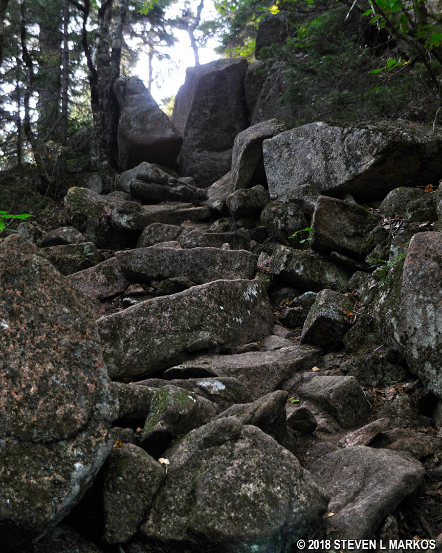
The hike to the summit of Cedar Swamp Mountain is up extremely steep terrain and requires climbing over boulders for much of the way. The trail is also hard to follow, so be on the lookout for blue blazes and cairns.
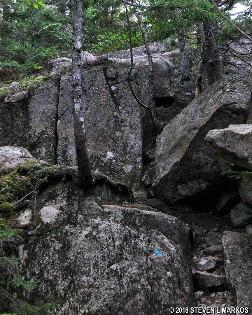
Boulders to scale along the Sargent South Ridge Trail on the way to Cedar Swamp Mountain in Acadia National Park
To reach the summit you must take a side trail that branches off from the Sargent South Ridge Trail, but this turn is clearly marked with a sign. Once at the summit, the best views are to the south, but they are the same views that you got earlier on the unnamed mountain peak. There is also a view to the northwest of the north end of Somes Sound. Again, this is something you will have seen many times by this point in the hike.

View of the north end of Somes Sound from the top of Cedar Swamp Mountain in Acadia National Park
As mentioned, return to the Sargent South Ridge-Amphitheater trail intersection to begin the journey back to the parking lot. See the Cedar Swamp Mountain to Parking Lot web page for details on this last segment of the Six Mountain Summit Hike.
With a few exceptions, use of any photograph on the National Park Planner website requires a paid Royalty Free Editorial Use License or Commercial Use License. See the Photo Usage page for details.
Last updated on August 24, 2023


