

Crossing-Birch Bluff-Laurel Loop Trail Hike Map (click to enlarge)
Length: 3.2-mile loop
Time: 2 hours
Difficulty: Easy to moderate
An enjoyable 3-mile loop hike that combines three trails—four if you count the walk to the Telegraph Picnic Area—begins at the Prince William Forest Park Visitor Center. The hike doesn’t cover every foot of each trail, but since it is a loop, you don’t have to see the same things twice.
To start the hike from the Visitor Center parking lot, walk out to the main road and head in the direction of the Telegraph Picnic Area as indicated on a road sign. On the opposite side of the road from the sign is a path that leads into the forest. The trail has no name, but it will take you to the Williams Ball Field in less than .2 mile.
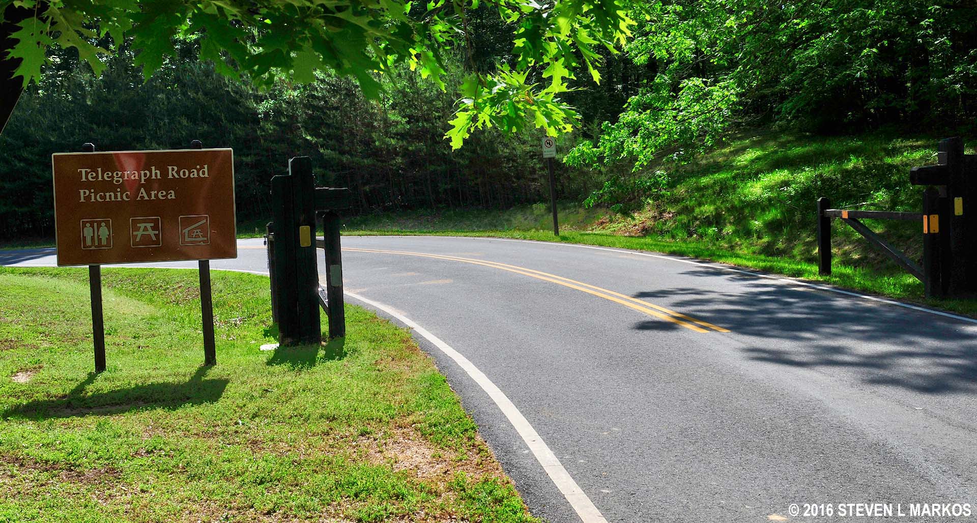
Road in Prince William Forest Park to the Telegraph Road Picnic Area
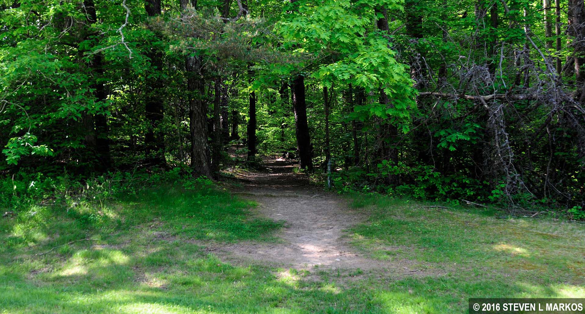
Path to the Williams Ball Field at Prince William Forest Park
The ball field has a baseball backstop, a set-up for volleyball, and horseshoe pits. Walk to the far end along the third base side (left side for non-baseball fans) and you will find another unnamed trail that also leads into the woods. This will take you to the picnic area in another tenth of a mile.
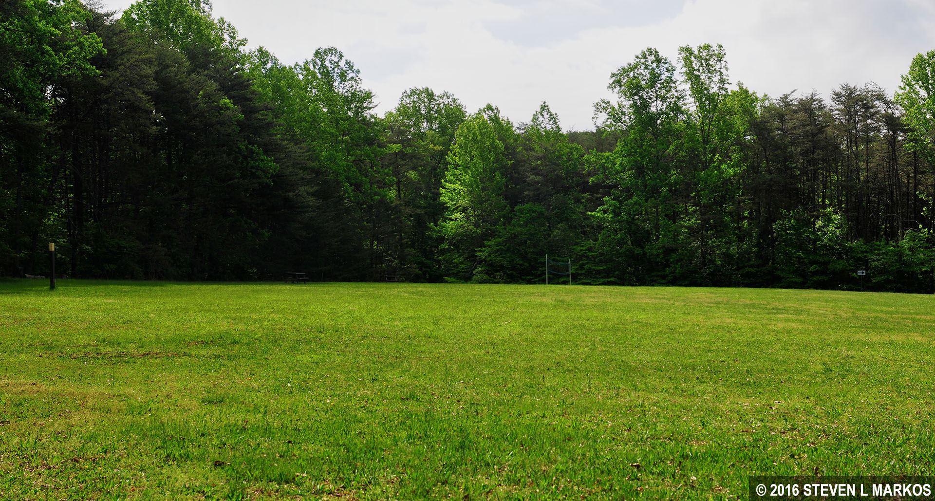
Williams Ball Field at Prince William Forest Park
THE CROSSING TRAIL
Once at the Telegraph Road Picnic Area you will find yourself in a parking lot. The Crossing Trail is located on the opposite side of the lot and a little to the left. You can’t miss the large sign that marks the trailhead. The trail actually forms a U shape and comes out farther up the road towards the Visitor Center. However, this hike does not cover the entire loop, but departs from The Crossing Trail onto the Birch Bluff Trail about halfway around. For your information, the Crossing Trail is a half-mile long.

Trailhead for the Crossing Trail at Prince William Forest Park
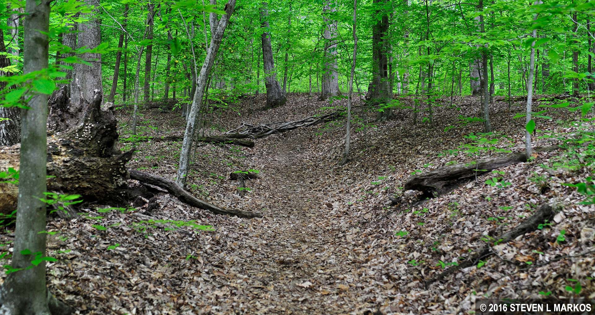
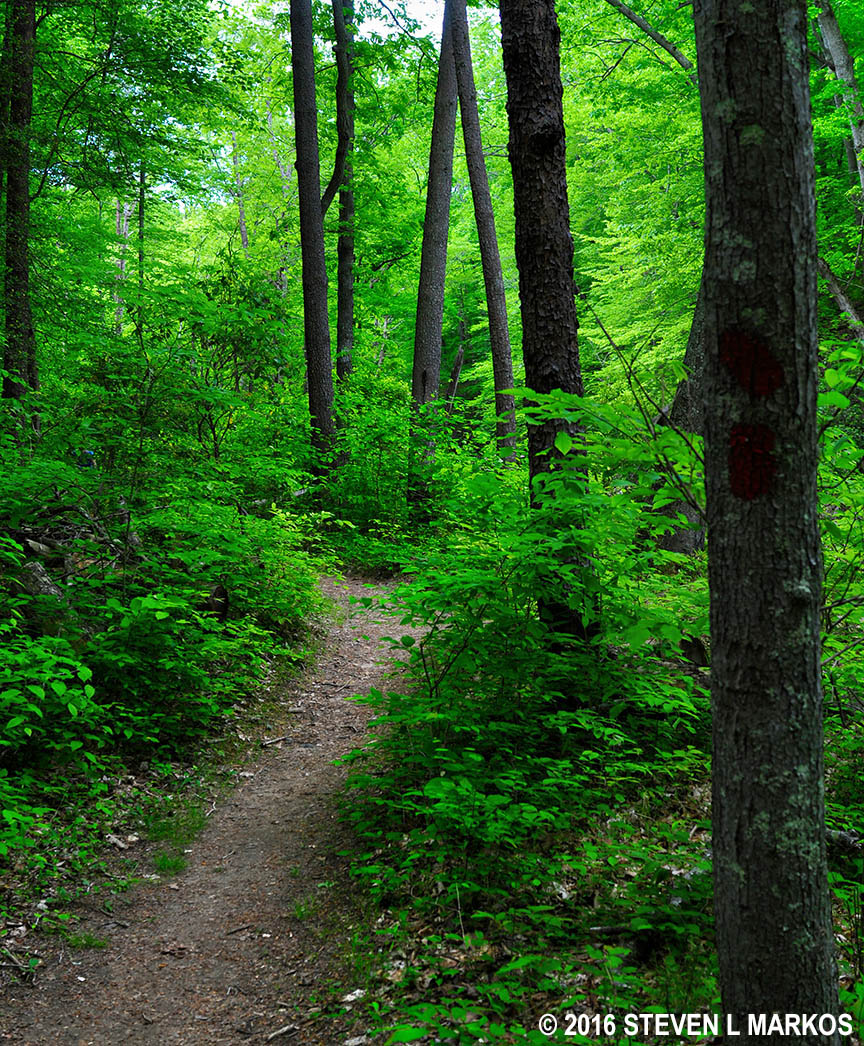
The Crossing Trail is marked with dark green blazes (paint splotches) on the trees that you follow like Hansel and Gretel breadcrumbs. Blazes come in handy to navigate trails that are confusing and hard to follow, but they aren’t needed here because the trail is obvious and there are no unmarked intersections. The surface of the trail is free of rocks and roots, the terrain is a little hilly but still easy to hike, and the trail is wide enough for two people to walk side-by-side.
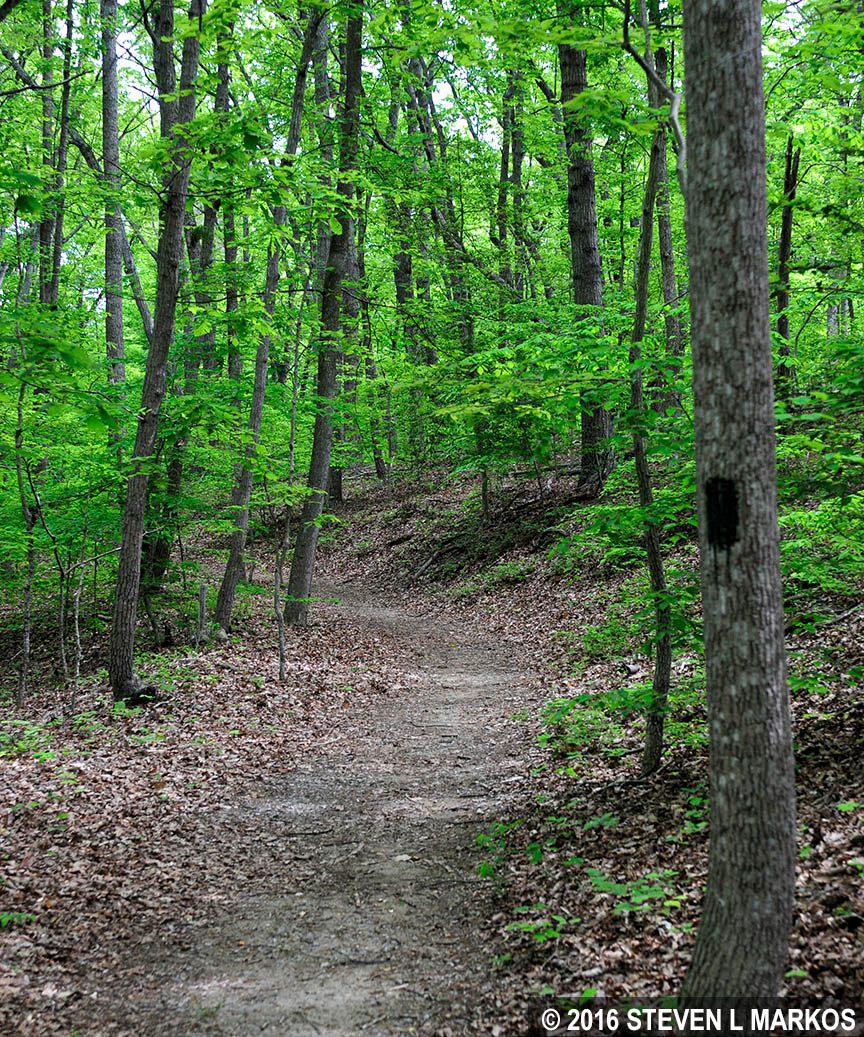
Typical terrain of the Crossing Trail at Prince William Forest Park
Just before coming to the intersection with the Birch Bluff Trail, the Crossing Trail intersects with an old road called the Potomac Path, aka Telegraph Road. A wayside exhibit tells its story. The road was once used by George Washington and French Commander Comte de Rochambeau when they traveled to Yorktown. This particular segment even saw action during the Civil War. Notice the deep gully, the result of thousands of people, animals, wagons, and coaches wearing a ditch into the ground over the years. Telegraph Road remained in use all the way up until the 1930s.
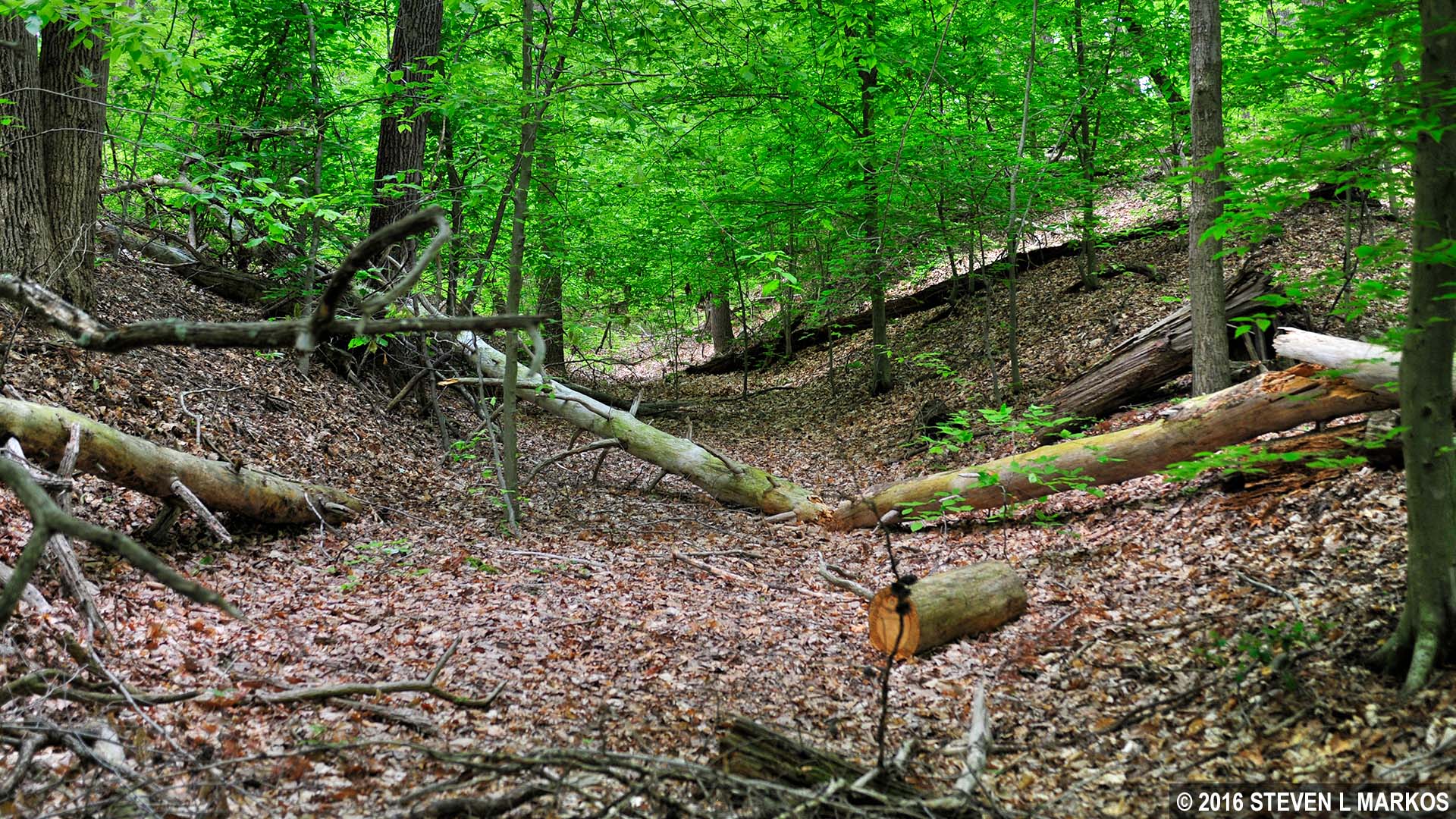
A section of the Potomac Path, aka Telegraph Road, runs through Prince William Forest Park
The intersection with the Birch Bluff Trail comes at .6 mile from the start of the hike at the Visitor Center parking lot, .3 mile since the start of The Crossing Trail. You must turn left to stay on The Crossing Trail, so simply continue straight and you’ll naturally end up on the Birch Bluff Trail.
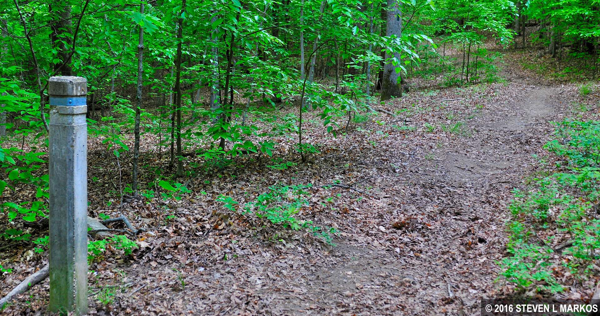
Intersection of The Crossing and Birch Bluff trails at Prince William Forest Park
Trail intersections in Prince William Forest Park are marked with cement posts with a band of metal around the top. Directions are embossed into the band. They are easy to miss if you are expecting traditional, wooden trail signs.
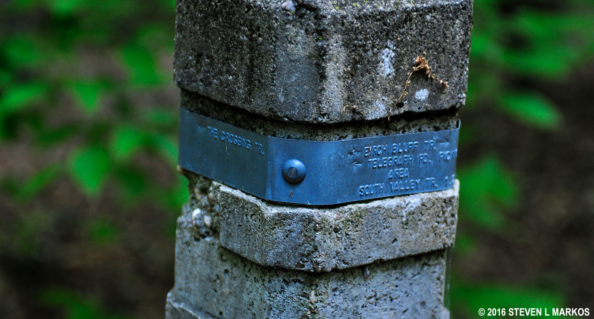
Close-up of a typical trail marker in Prince William Forest Park
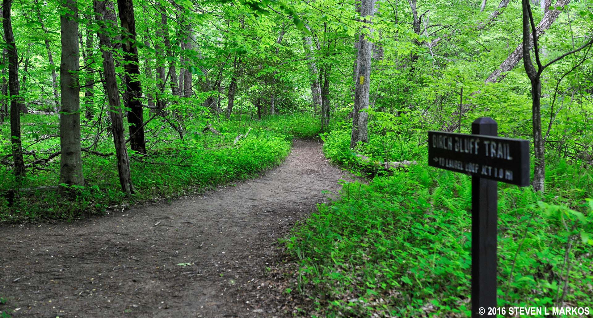
BIRCH BLUFF TRAIL
The Birch Bluff Trail is marked with red blazes, though like The Crossing Trail, the path is obvious and you can’t get lost. As the name implies—Bluff—you are now on a much hillier trail. Not far from the start is a moderately steep downhill stretch that ends at a small creek at the bottom of the valley.
Creek at the bottom of the valley on the Birch Bluff Trail in Prince William Forest Park
Normally I warn readers to stay away from anything green to avoid ticks. This is easy to do on the Birch Bluff Trail since it is fairly wide, but lo and behold, I found a tick crawling up my pant leg—one freshly sprayed with Permethrin—and I hadn’t been anywhere near anything green. Virginia, as I discovered, is nothing but a big Tick City.
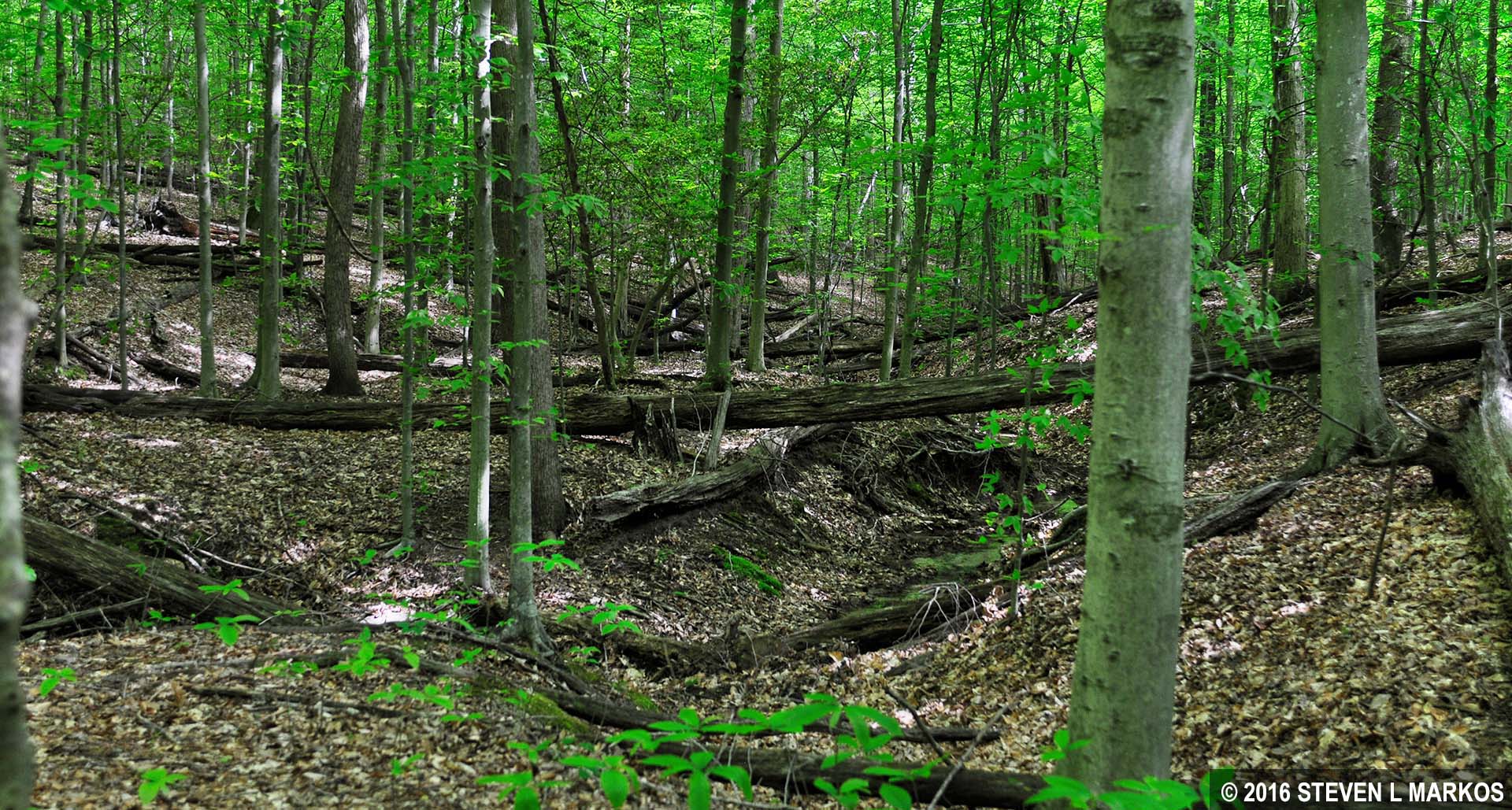
Once crossing the creek you will begin working your way back up from the valley floor, though the climb is so gradual you’ll barely notice it. You will find yourself walking in what appears to be a gully. This segment of the trail is also part of the Potomac Path.
A section of the Bluff Trail at Prince William Forest Park follows a segment of the Potomac Path
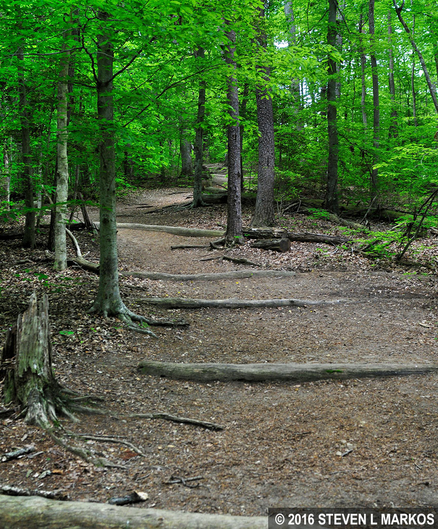
At the 1-mile mark on the hike, the Birch Bluff Trail merges with the Laurel Loop Trail. You can turn left and head back to the Visitor Center or take a right and hike around the loop trail in a counterclockwise manner, which is what you want to do. Everything is pretty flat by this point, and the Laurel Loop Trail is as wide as a single-lane road.
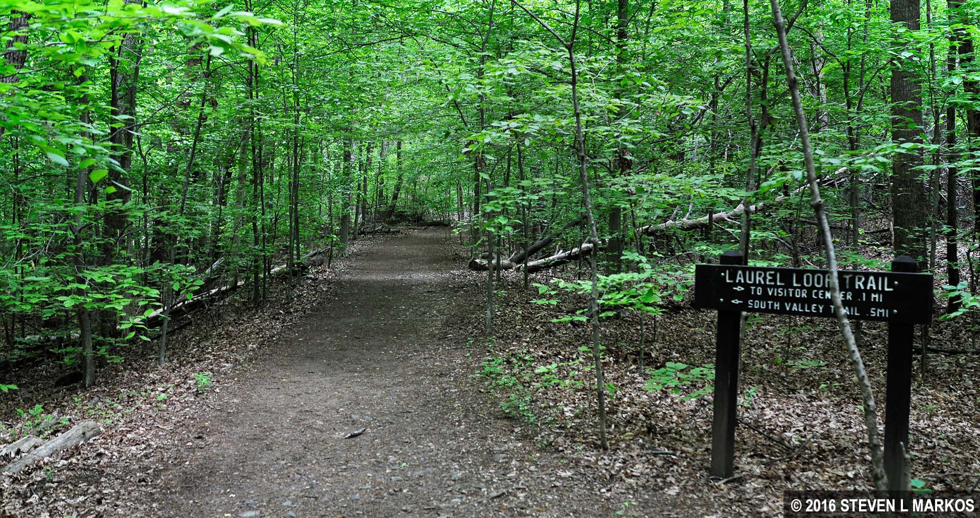
Laurel Loop Trail at Prince William Forest Park
You aren’t on the merged section of the two trails for very long—about a quarter mile—before coming to the point where the Birch Bluff Trail veers to the right and away from the Laurel Loop Trail.
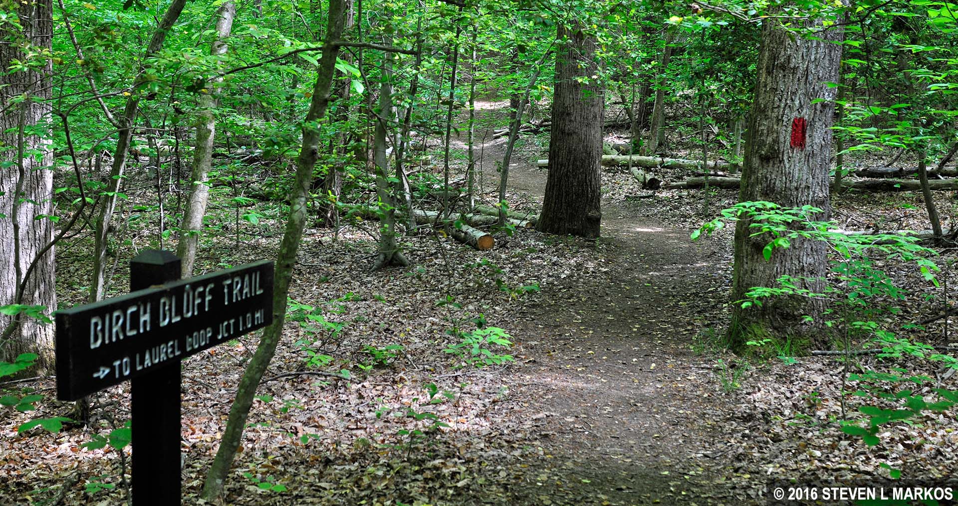
Birch Bluff Trail near the intersection with the Laurel Loop Trail in Prince William Forest Park
There is a short but steep hill right after the turn, but other than that, the trail is fairly level. I won’t call it easy because I don’t want anyone thinking they can bring their little ol’ grandmother with her walker on the trail, but it is far from even being moderate in difficulty.
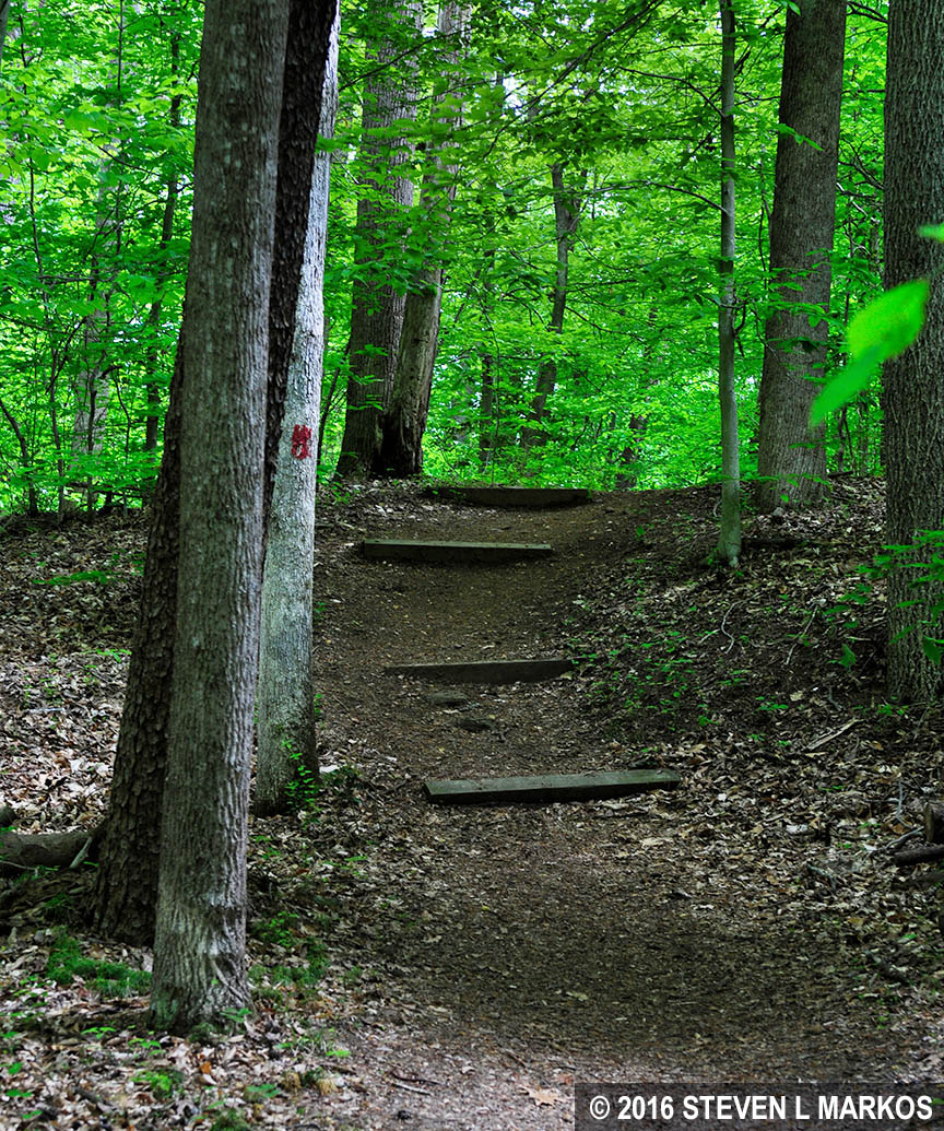
Hilly area of the Birch Bluff Trail at Prince William Forest Park
For cemetery buffs, the Cannon-Reed Cemetery is just five minutes from the turn onto the Birch Bluff Trail. Graves date back to the early 1800s, with many of them hand-engraved. A number of graves are marked with nothing more than field stones. (The name Cannon-Reed is a name I gave the cemetery, not an official name as far as I know).

Hand engraved tombstone at the Cannon-Reed Cemetery along the Birch Bluff Trail in Prince William Forest Park

Tombstone at the Cannon-Reed Cemetery along the Birch Bluff Trail in Prince William Forest Park
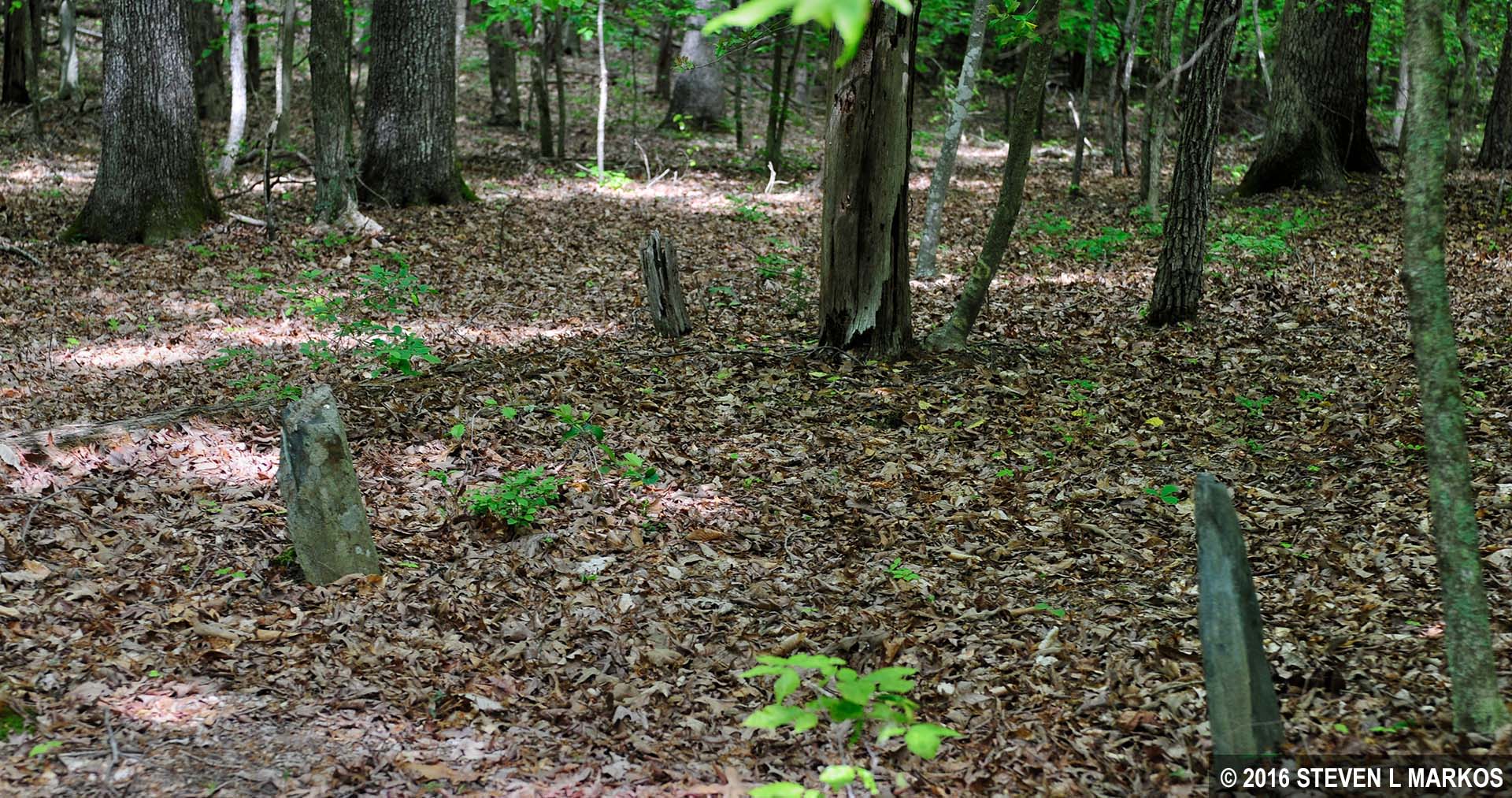
Fieldstones mark forgotten graves at the Cannon-Reed Cemetery along the Birch Bluff Trail in Prince William Forest Park
The Birch Bluff Trail heads north until coming to South Fork Quantico Creek at around the 2-mile point on the hike. You may see people on the other side of the creek hiking along the South Valley Trail.
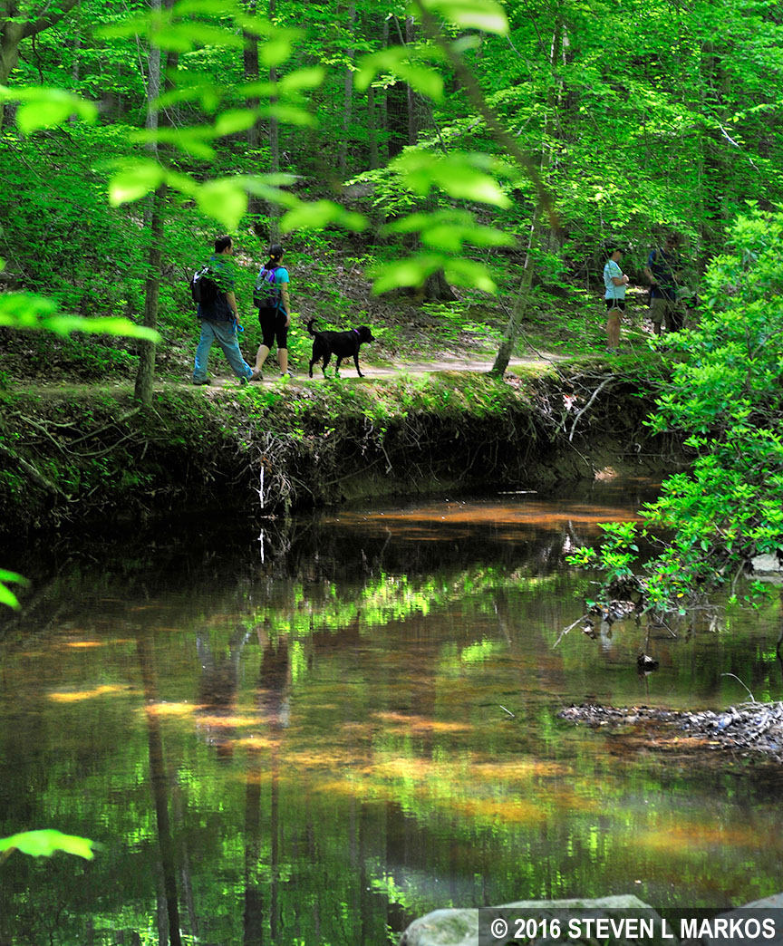
Hikers on the South Valley Trail at Prince William Forest Park
There is a short path down to the creek where the remains of a concrete pillar lie in the water. Perhaps a bridge once spanned the creek, connecting the Birch Bluff and South Valley trails together.

Pillar of an old bridge at a creek long the Birch Bluff Trail in Prince William Forest Park
At this point the Birch Bluff Trail turns south. For the first time on the hike, the trail becomes a very narrow path, making it hard to avoid vegetation and possible contact with ticks. This narrow stretch only lasts a short while, so check yourself once the trail widens. Ticks attach themselves to you down around the ankles, then make a beeline straight up your leg towards your crotch where they can hide, so check your lower legs as often as possible.
Narrow stretch of the Birch Bluff Trail at Prince William Forest Park
The Birch Bluff Trail runs right along the South Fork Quantico Creek, often so close that you could fall in if you tripped. Also, while most of the hike along the creek is on smooth terrain, there are some extremely rocky and rooty segments here, so if you brought your hiking poles, now is the time to use them.
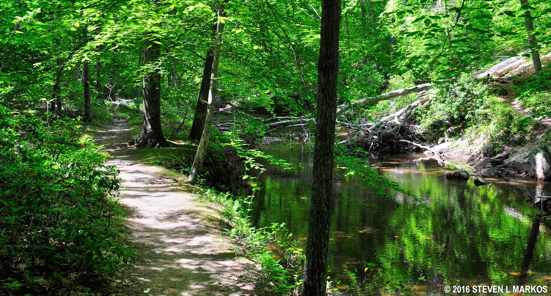
Birch Bluff Trail and South Fork Quantico Creek in Prince William Forest Park
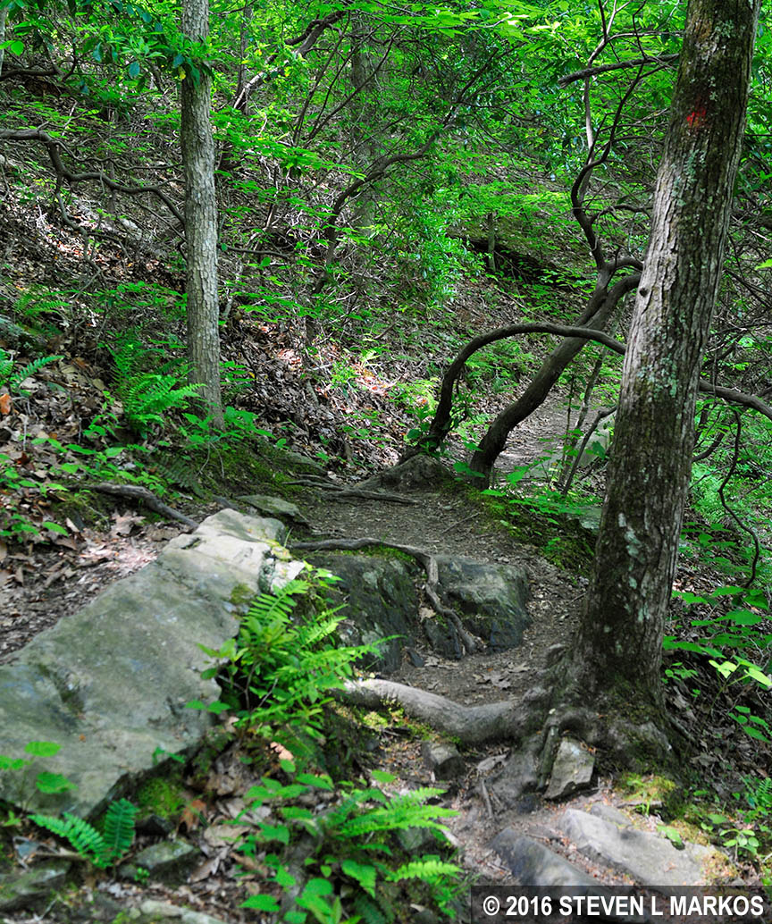
Rough patch on the Birch Bluff Trail in Prince William Forest Park
The Birch Bluff trail eventually dead ends into the Laurel Loop Trail, though you stay straight along the creek and wouldn’t know the name changed if a sign and the trail map didn’t point it out. You have the option to turn left on the Laurel Loop Trail, but that just sets you hiking around the loop in a clockwise direction, back to where you originally came from.
Intersection of the Birch Bluff and Laurel Loop trails at Prince William Forest Park
LAUREL LOOP TRAIL
The Laurel Loop Trail continues along the creek until coming to one last major intersection, this time with the South Valley Trail. This intersection is a little confusing because it is not shown in detail on the trail map. You first come to a fork with no sign indicating which way to go. You are actually at a “traffic” triangle, so just stay to the left. There is another intersection fifty yards ahead, but pass this by as well. Heading down either of the forks to the right takes you to the footbridge over South Fork Quantico Creek and onto the South Valley Trail.

Footbridge to Prince William Forest Park’s South Valley Trail
Just seconds later is another unexpected intersection, but this is nothing more than a short connector to South Orenda Road, an old fire road that runs parallel to the Laurel Loop Trail at this location. Once you pass this intersection, the trail leaves the creek for good, and you are on the last leg of the hike back to the Visitor Center.

Intersection of the Laurel Loop Trail and a short connector to South Orenda Road, Prince William Forest Park
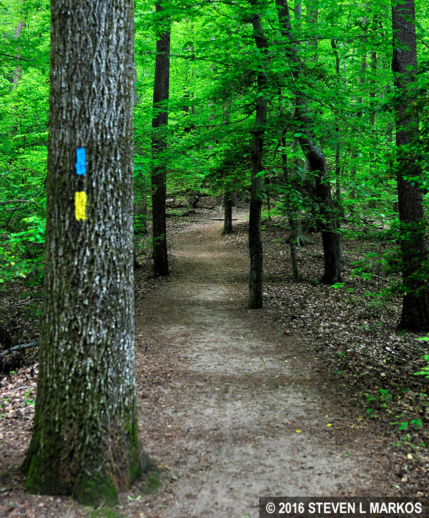
This section of the Laurel Loop Trail is part of the Potomac Heritage National Scenic Trail. To indicate two merged trails, both yellow (Laurel Loop Trail) and baby blue (Potomac Heritage Trail) blazes are painted on the trees. The Laurel Loop Trail is now wide and flat.
Segment of trail within Prince William Forest Park shared by the Potomac Heritage National Scenic Trail and Laurel Loop Trail
Creeks are usually located at the lowest point on the terrain, as that is where all of the water drains. Trails run downhill towards them and uphill when leaving them, and such is the case on the final stretch of the Laurel Loop Trail as you leave South Fork Quantico Creek and head back uphill and out of the valley.
Laurel Loop Trail climbs uphill from South Fork Quantico Creek, Prince William Forest Park
At the top of the hill is the Pine Grove Picnic Area. The trail peters out, so just cut through the picnic area and past the playground equipment, or head out to the parking lot and follow the road back (this is a second parking lot for the picnic area and most likely not the one that you parked at). You should see the Visitor Center parking lot not long after coming to the first tables.
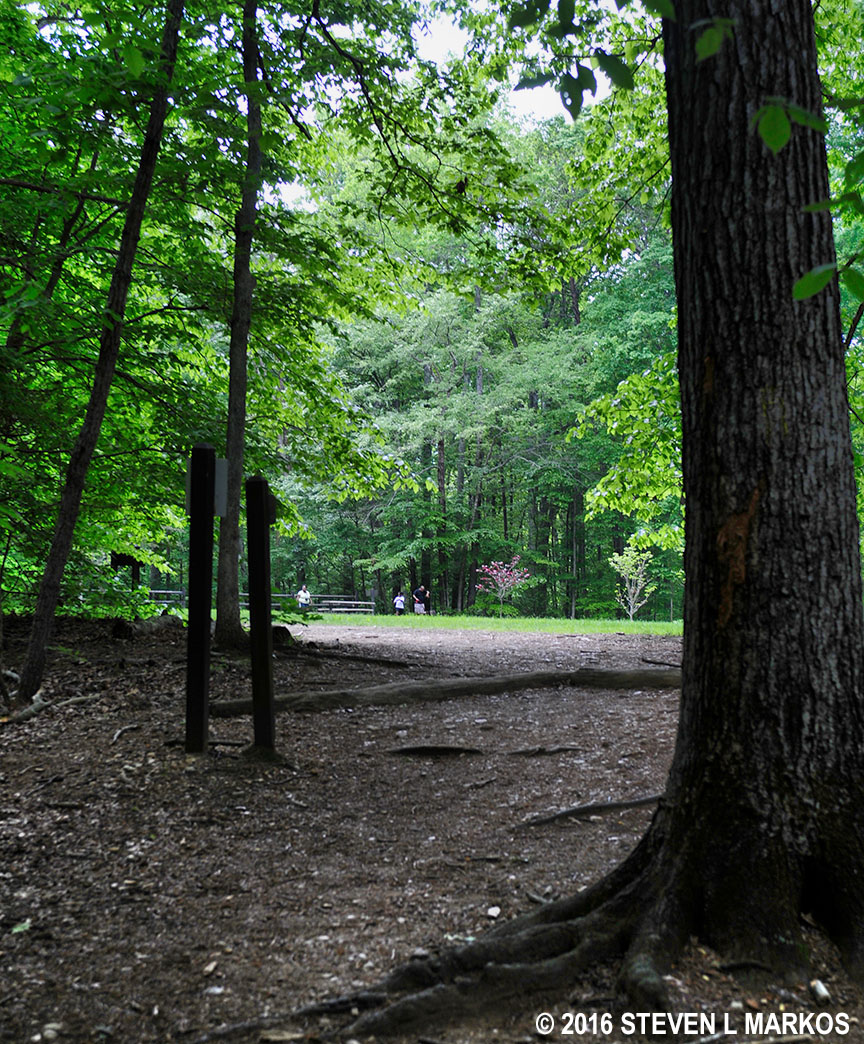
End of the Laurel Loop Trail at the Pine Grove Picnic Area in Prince William Forest Park
I’m usually not a big fan of hikes through the woods, but I really enjoyed this loop hike. Most of the trail surface is smooth, so you don’t have to constantly look at your feet to make sure you aren’t about to trip over something. The terrain is easy to hike, and I liked that the forest floor was open and not cluttered with debris and vegetation. The trees keep the sun off your head, but the forest is not so dark as to be gloomy. Also, South Fork Quantico Creek is very picturesque. The only downside is that on a nice day there will be many hikers, so solitude is something you will not find here. Being so close to the Visitor Center, this is the most popular section of Prince William Forest Park.
With a few exceptions, use of any photograph on the National Park Planner website requires a paid Royalty Free Editorial Use License or Commercial Use License. See the Photo Usage page for details.
Last updated on April 10, 2024


