
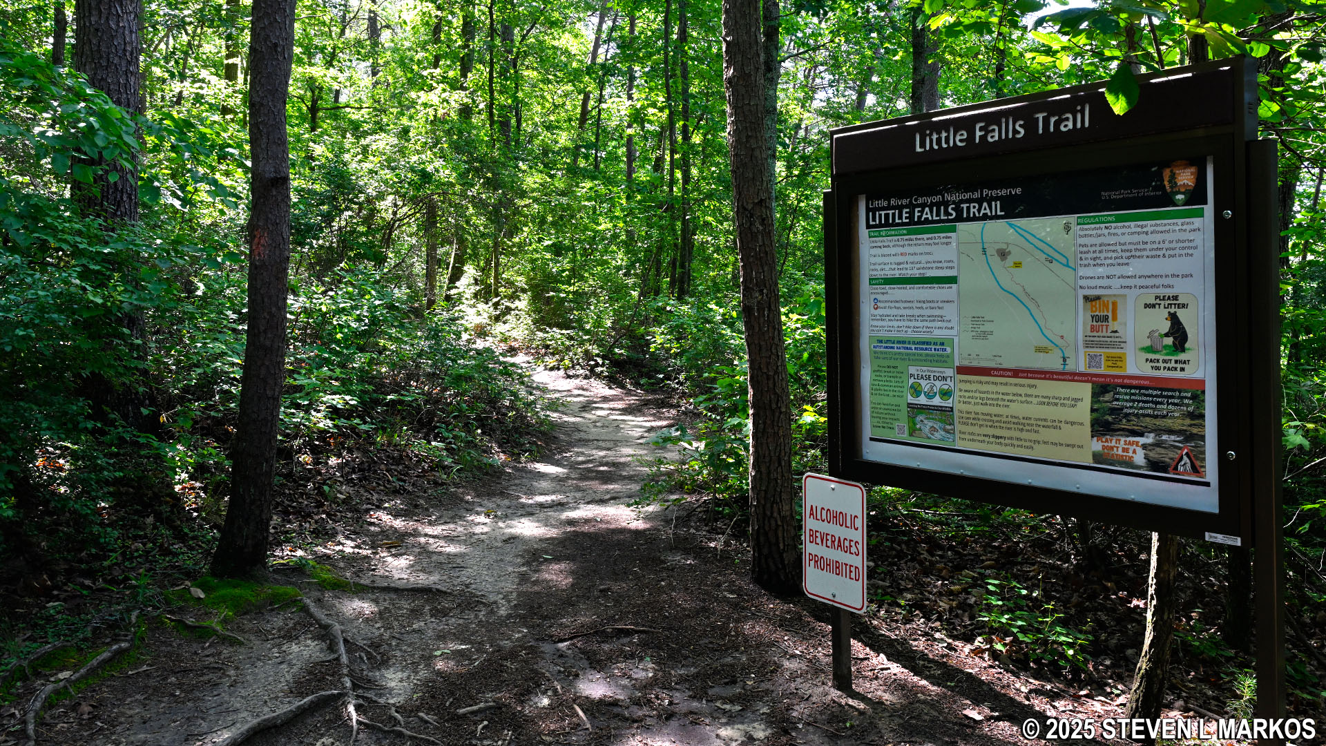
Start of the Little Falls Trail in Little River Canyon National Preserve
- Length: .7 mile, one way, from the Little River Falls Overlook
- Time: 45 minutes round trip, not counting stopping at the falls to swim
- Difficulty: Mainly easy with an extremely steep, stone staircase at the end that leads down to the Little River
Little Falls (formerly Martha’s Falls) is a popular summertime swimming spot in Little River Canyon National Preserve, and during the summer most of the people hiking the Little Falls Trail will be carrying towels and other beach equipment. However, during the wet season lasting from late fall through spring, the water levels can be very high, and swimming at Little Falls during this time is extremely dangerous. Drowning is the Number One cause of death at Little River Canyon National Preserve, and if a park has enough deaths to actually have rankings, you know it’s a serious matter. There are usually less than a dozen drownings in any given decade, but there are well over 100 rescues. I visited once in December and once in mid-May, and the area was a very picturesque whitewater spot, not a place to swim. If there are torrents of water flowing over Little River Falls upstream, then there are torrents of water flowing through the Little Falls area as well.

High water level at the Little Falls area of Little River Canyon National Preserve
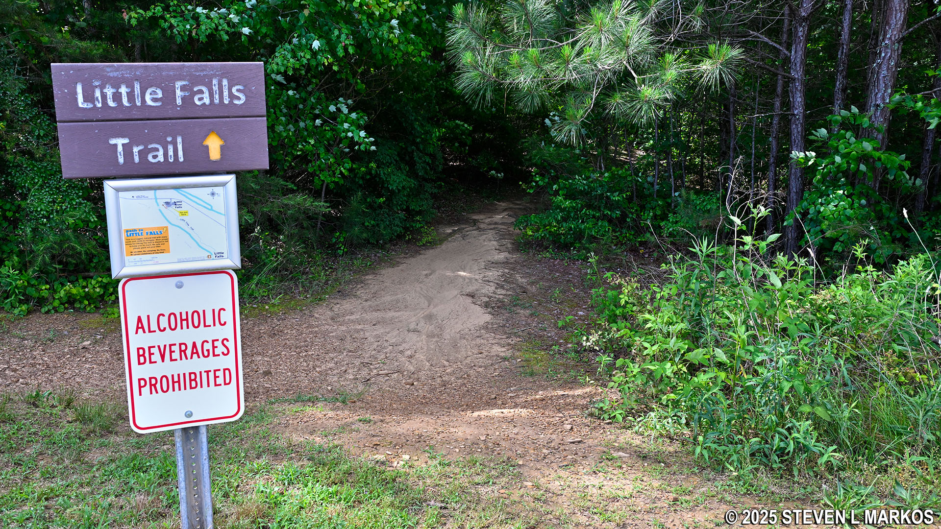
There are two places to start the Little Falls Trail, with the official trailhead being at the Little River Falls Picnic Area located at the top end of the Little River Falls parking lot on Alabama Highway 35 just east of the bridge over the river.
Trailhead at the Little River Falls Picnic Area for the Little Falls Trail, Little River Canyon National Preserve
You can also access the trail via the short loop path to the Little River Falls observation deck. Regardless of which way you go around the loop, you will eventually come to a gap in the fence that allows visitors to hop off the boardwalk and onto the Little Falls Trail. This puts you on the trail just a stone’s throw down from the picnic area.

Access to the Little Falls Trail from the Little River Falls Overlook boardwalk, Little River Canyon National Preserve
While the Little Falls Trail is easy to follow for the most part, it is marked with orange blazes. These are paint splotches on trees that serve as Hansel and Gretel breadcrumbs, and in a perfect world, you should be able to see from one blaze to the next. That’s not always the case on many trails, including those in Little River Canyon National Preserve. Furthermore, the blazes along the Little Falls Trail are quite faded—the National Park Service really needs to repaint them—but they are there.
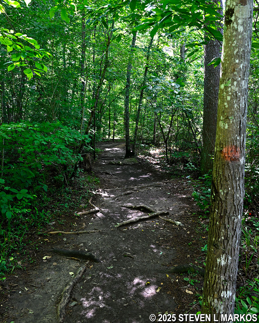
Orange blazes mark the route of the Little Falls Trail at Little River Canyon National Preserve
The hike to Little Falls takes about 30 minutes. The trail covers fairly level ground for .6 mile. It starts off as a rather smooth trail with only roots to watch out for. There are a few side trails that lead—or attempt to lead—down to the river, but they are obviously not any type of official trail, and you shouldn’t get confused by them. Most are very steep and very overgrown.
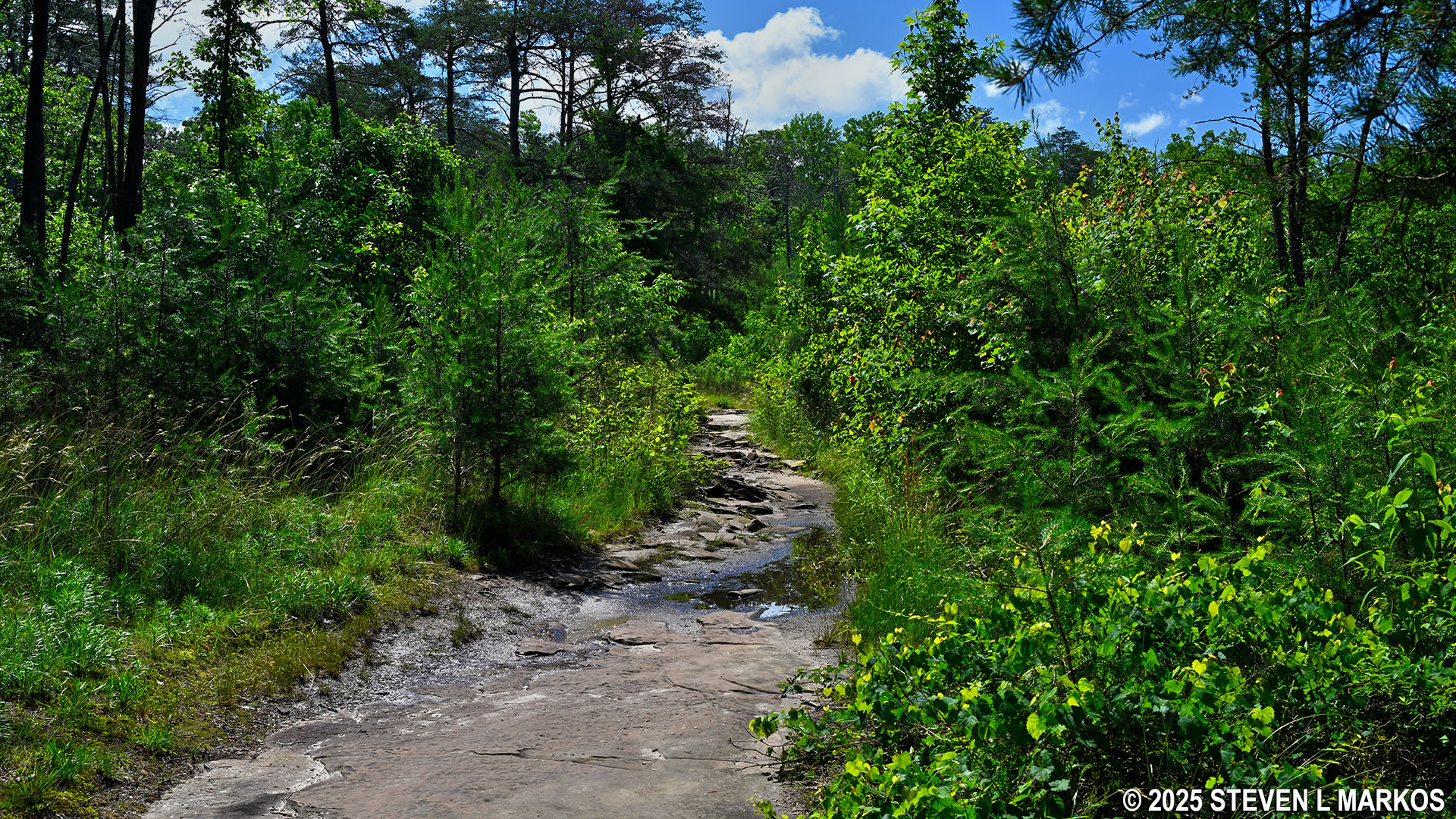
The smooth section of the Little Falls Trail doesn’t last long, and from the .2-mile mark until the end, the trail surface ranges from rocky to extremely rocky. Watching your every step in an effort not to twist an ankle certainly slows down the pace. On a positive note, the rocks are rather large and anchored into the dirt, which is much better than loose, small rocks that slip out from under your feet like marbles.
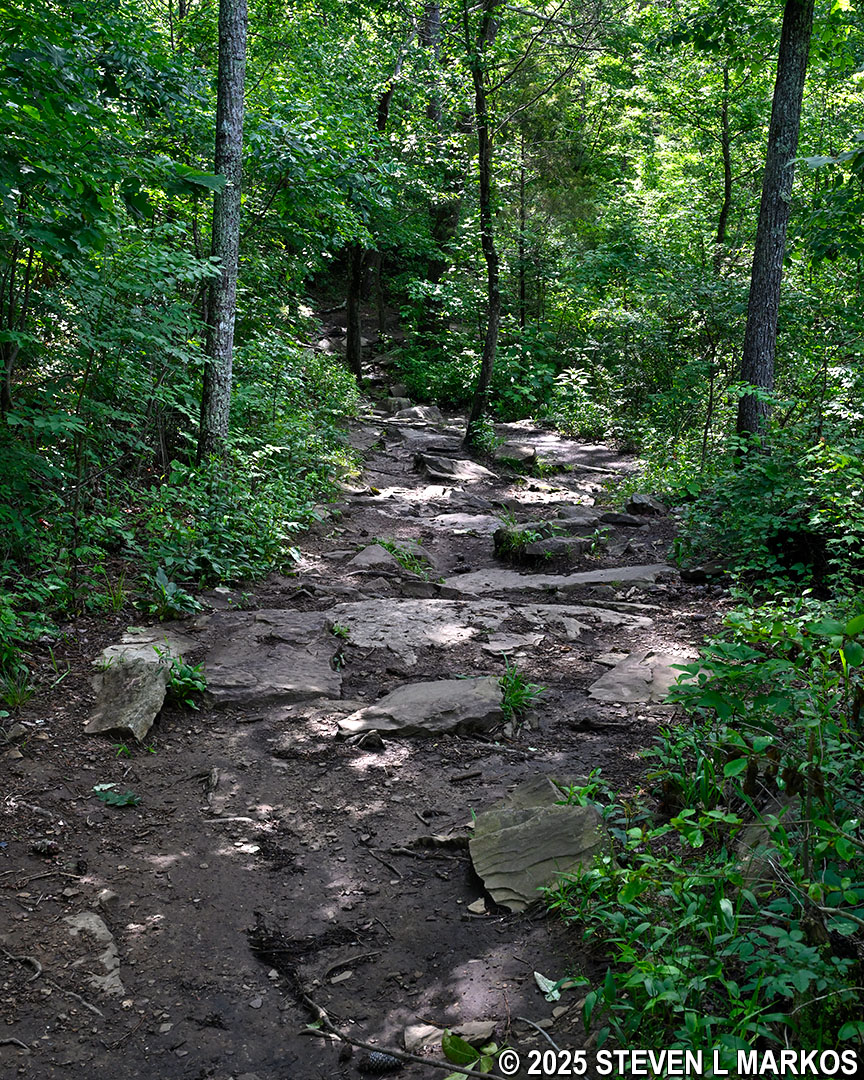
Typical rocky terrain on the Little Falls Trail in Little River Canyon National Preserve
At .3 mile into the hike is a large rock slab where the trail forks. There is no directional signage, and either a left or a right seems like a viable option. However, there is a blaze on a tree on the left fork, so that is the way to go.
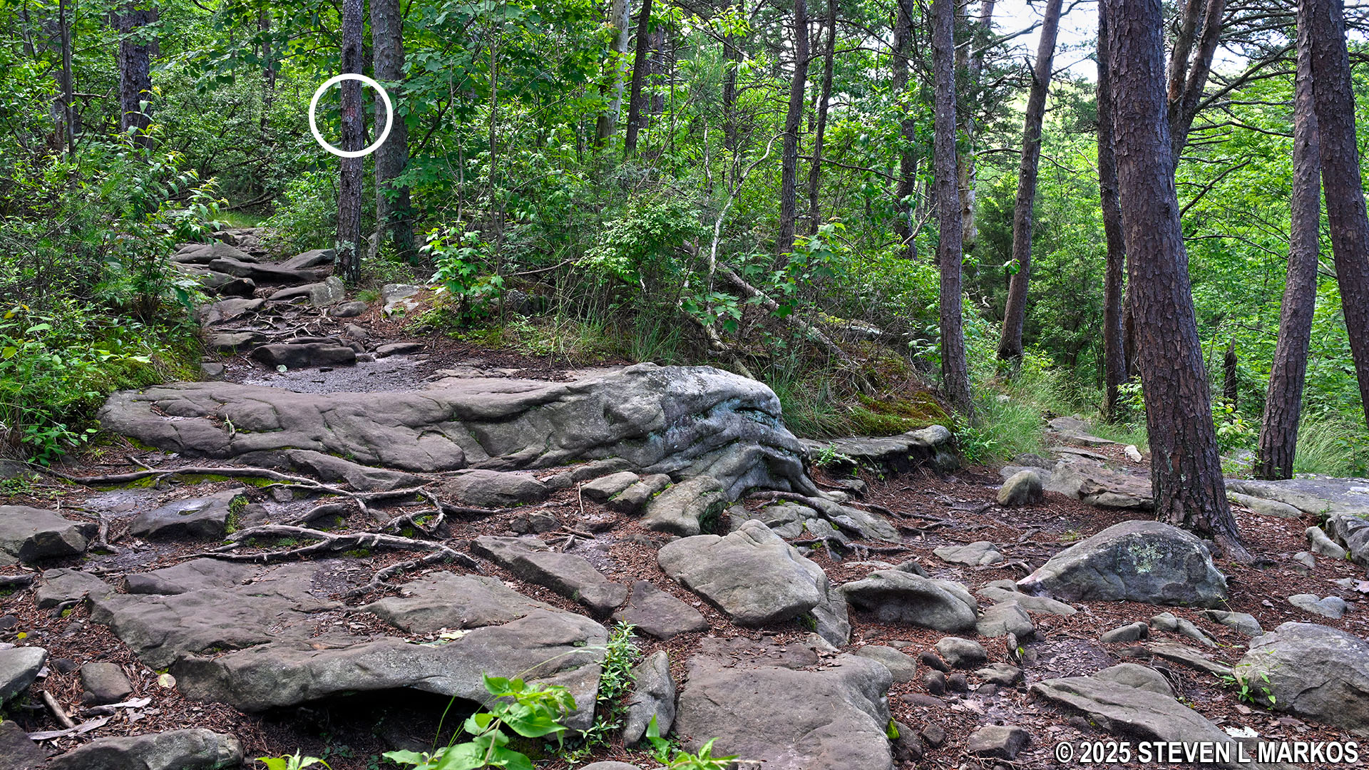
Potential fork in the Little Falls Trail at a large, rock slab, Little River Canyon National Preserve
Just past the rock slab is another fork, and again both paths appear to be viable trails. The official path is to the right per a blaze on a tree, but what is happening here is that the trail forks to go around a patch of trees for some reason, and the two paths reconnect a little farther down, so it doesn’t really matter which way you go.
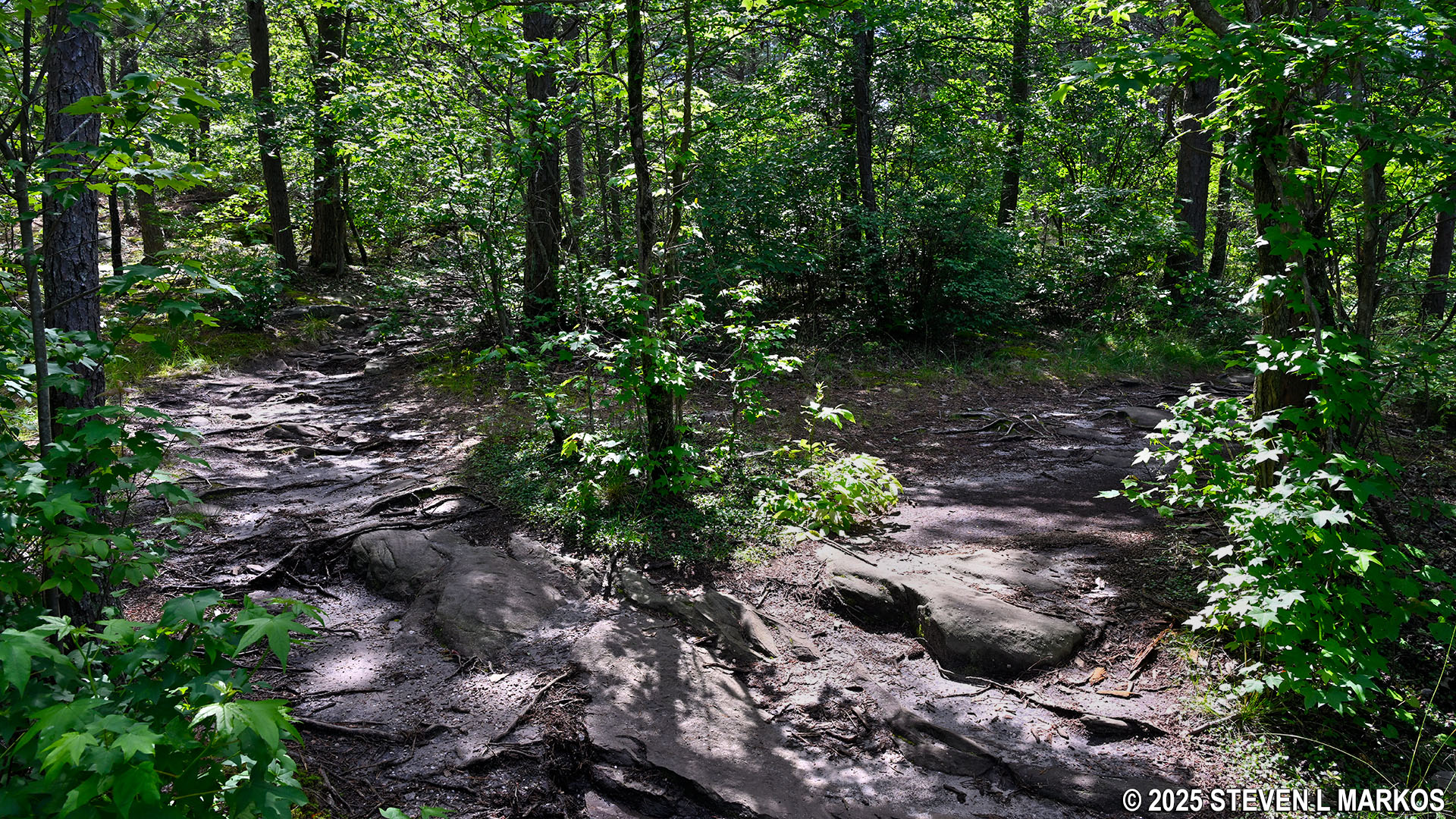
Second fork in the Little Falls Trail near its halfway point, Little River Canyon National Preserve
After hiking through the forest for a little over a half mile, the Little Falls Trail comes out into the open. At this point, you are just about at the steep, stone staircase that leads down to the Little River. Follow what appears to be a gravel road running past a trashcan, and you will be at the stairs.
Terrain at the end of the Little Falls Trail in Little River Canyon National Preserve
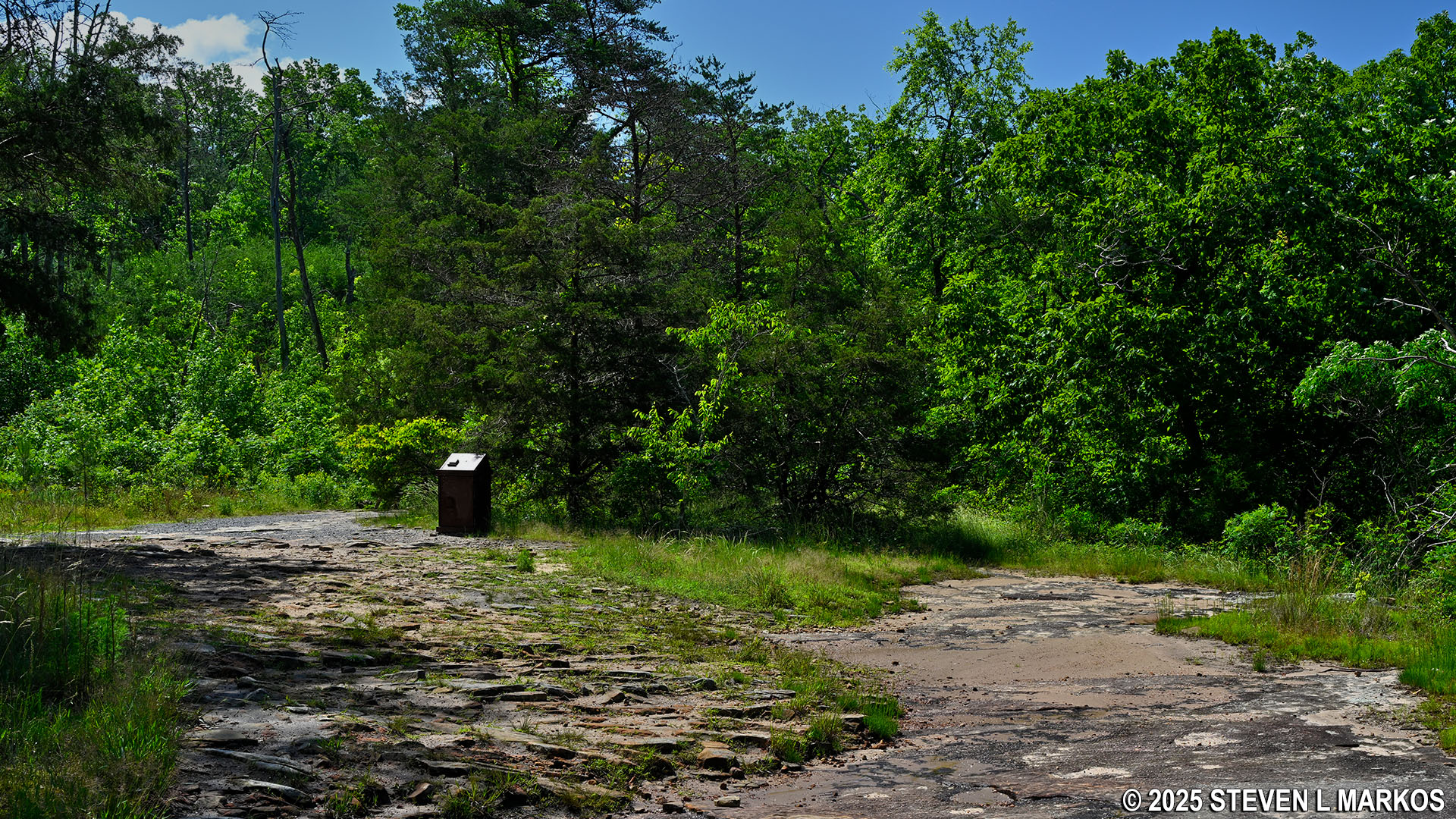
Terrain at the end of the Little Falls Trail in Little River Canyon National Preserve
When I first hiked the Little Falls Trail in 2014 (it was then called the Martha’s Falls Trail), there was no staircase made of rocks. There were just rocks, and it was a treacherous journey to the bottom. At some points I just sat and slid down. The National Park Service has since taken those rocks and made a stone staircase. Steps were even carved into some of the larger boulders.
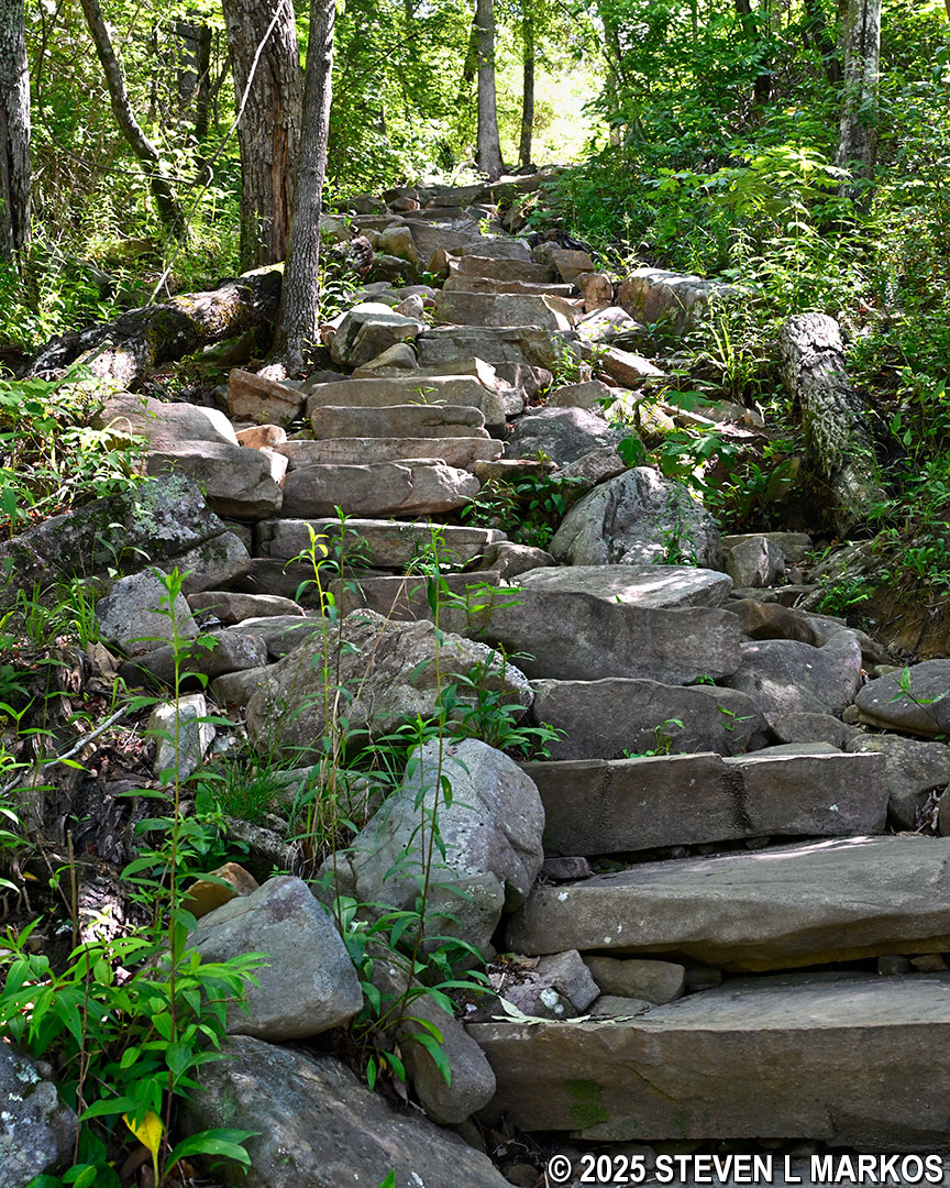
Stone staircase at the end of the Little Falls Trail leads to the Little River, Little River Canyon National Preserve
At the bottom is a striated sandstone ledge that you must climb down in order to get to river (I sat and slid down). There always seems to be a trickle of water flowing from above, and if so, the rocks are likely to be wet and very slippery. Do not shift your weight fully onto one foot until you are positive that foot isn’t going to slide out from under you. Yes, dear Reader, I learned this the hard way and was lucky not to end up in the river.

Sandstone ledge along the riverbank at Little Falls, Little River Canyon National Preserve

Sandstone ledge along the bank of the Little River at Little Falls, Little River Canyon National Preserve
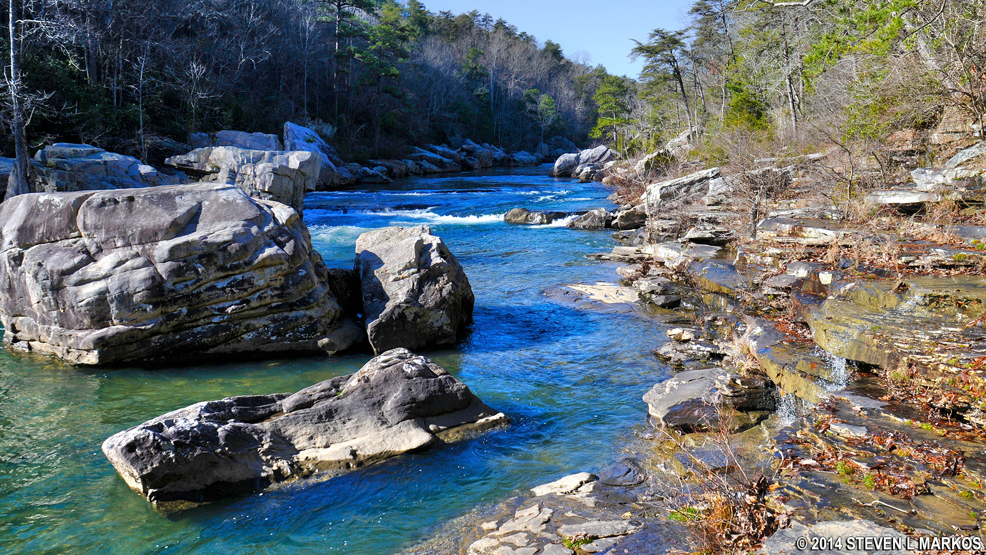
As mentioned earlier, Little Falls is a popular swimming spot when water levels are low, but both of my visits were during the wet season, one even the day after torrential rains and tornado warnings. As a result, I’ve never even seen a waterfall. In fact, I can’t even imagine where a waterfall could be. Why? There was so much water in the Little River that the ledge that creates Little Falls, which is only a ten-foot drop, was underwater. I do not have a photo of the area when the water levels are low and people are swimming, but I have seen some. I don’t even recognize the place, thats how drastically different Little Falls looks between winter and summer.

Swift flowing Little River at Little Falls during the winter, Little River Canyon National Preserve
Upstream view of the Little River at Little Falls during the rainy, winter season at Little River Canyon National Preserve
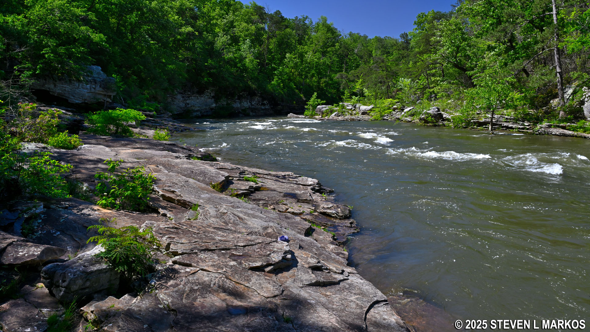
Downstream view of the Little River from the Little Falls area of Little River Canyon National Preserve
Of all the trails within Little River Canyon National Preserve, the Little Falls Trail is the one most worth hiking. It is a breeze compared to the extremely steep and rutted trails along the Canyon Rim Drive that lead to the river at the bottom of the canyon, and no other trail in the park has a view as pretty as that near Little Falls. Not to mention that if you do the hike in the summer, you can spend the rest of the day swimming and sunbathing.
With a few exceptions, use of any photograph on the National Park Planner website requires a paid Royalty Free Editorial Use License or Commercial Use License. See the Photo Usage page for details.
Last updated on June 4, 2025


