
Turtle Mound Trail at Canaveral National Seashore
See the Hiking Trails web page for an interactive location map.
Length: .4 mile, round trip
Time: 15 minutes
Difficulty: Easy
The Turtle Mound Trail at the Apollo Beach unit of Canaveral National Seashore is an out-and-back trail that leads to what is known as a shell midden. A midden is defined as a garbage dump, and in this case the dump belonged to the Timucuan Indians who lived in the area between 800 and 1400 AD. The Timucuan mainly subsisted on a seafood diet. After preparing shellfish, the shells were dumped in a pile, thus the term “shell midden.” Over the years these dumps of shells grew into substantial hills. I can picture some poor Timucuan kid complaining about having to haul the night’s dinner garbage to the top of the mound, and the parents saying, “When I was your age I had to haul garbage to the top of middens ten times that tall, and uphill both ways.”
During modern times, many middens were leveled and used as fill for construction sites, railroads, and roads, so very few have been preserved for historical purposes. Turtle Mound is one that is still intact, and a boardwalk trail leads to the top. Those in wheelchairs who have some help or have an electric wheelchair should have no problem making it up the hill.
Parking for the Turtle Mound Trail is along the road. From there, a boardwalk leads a short ways down to the shore of Mosquito Lagoon where the trail to the top of Turtle Mound begins.
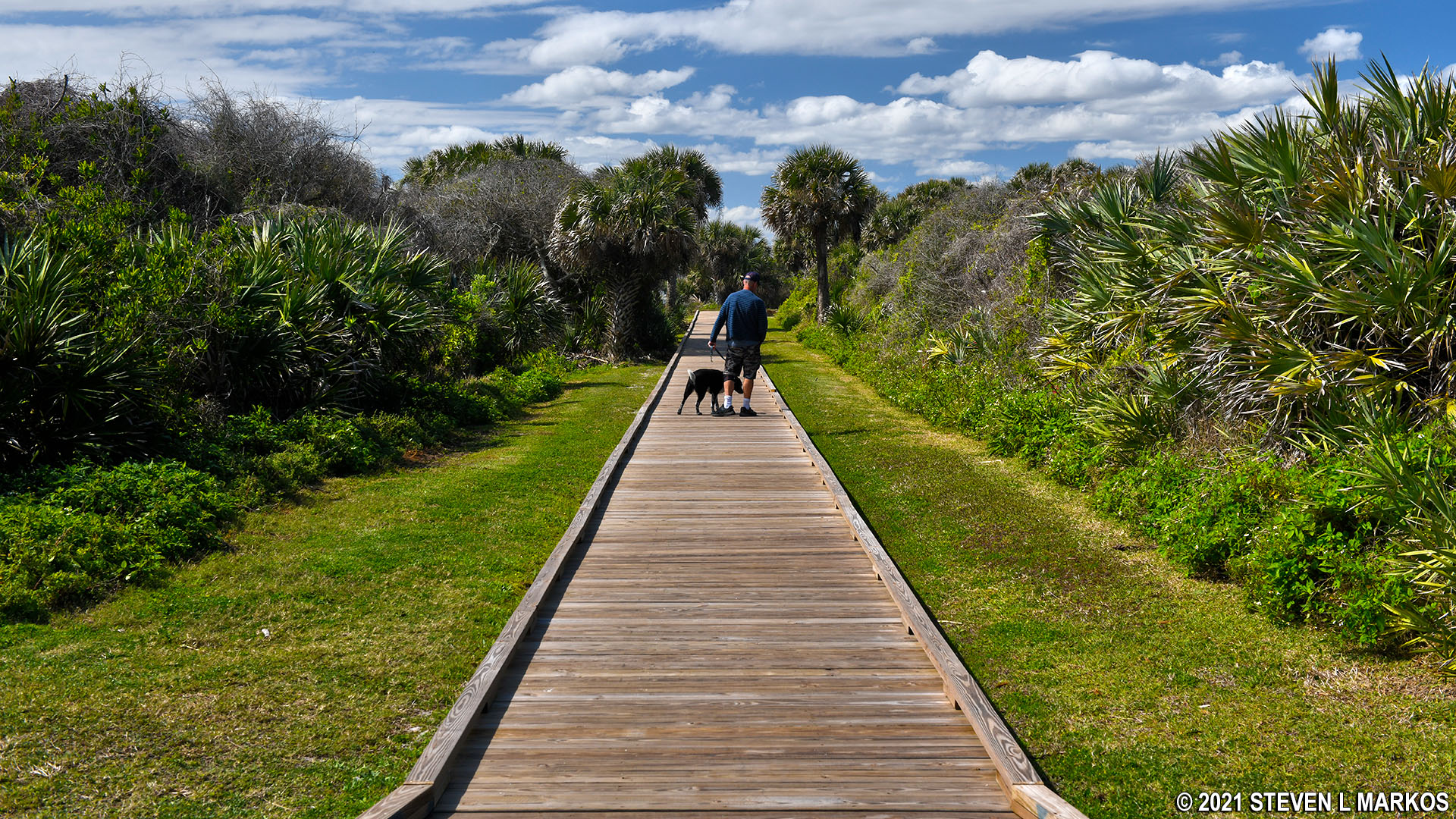
Boardwalk from the parking lot leads to the Turtle Mound Trail at Canaveral National Seashore
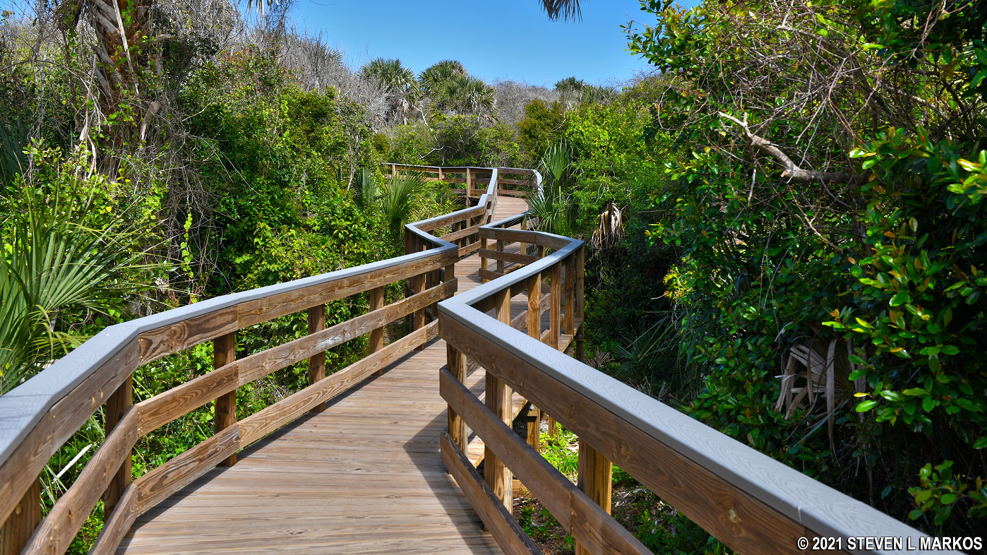
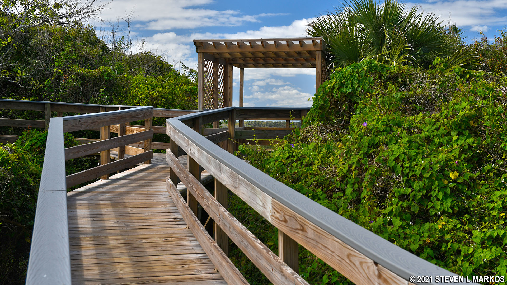
As mentioned, the trail is a boardwalk. It winds through a forest until coming out at an observation deck. The trail does progress uphill, a testament to the height of the midden.
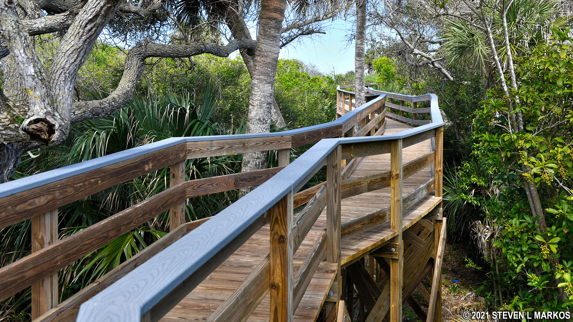
Boardwalk to the top of Turtle Mound at Canaveral National Seashore
Today everything is covered with trees, so if you didn’t know any better, you would just think you were walking to the top of a small hill. However, if you look down from the boardwalk, you will see shells on the ground.
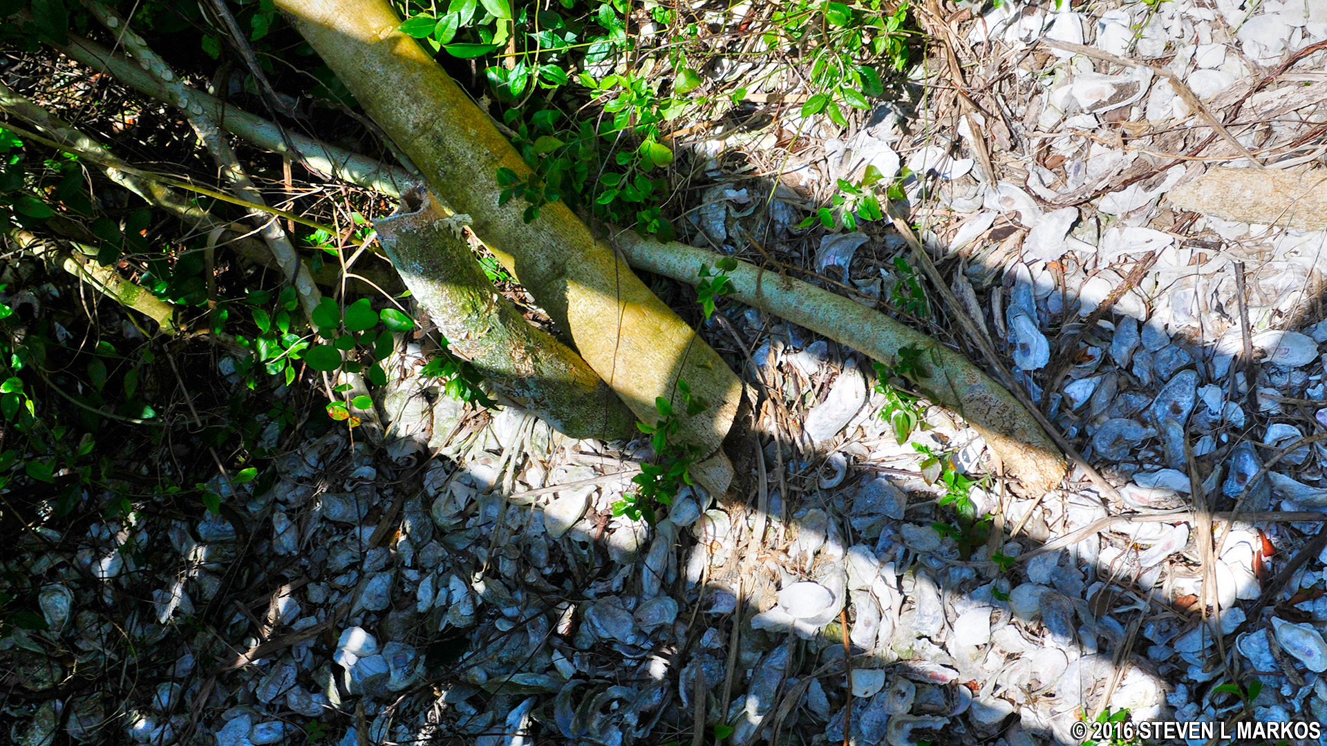
Shells of Canaveral National Seashore’s Turtle Mound
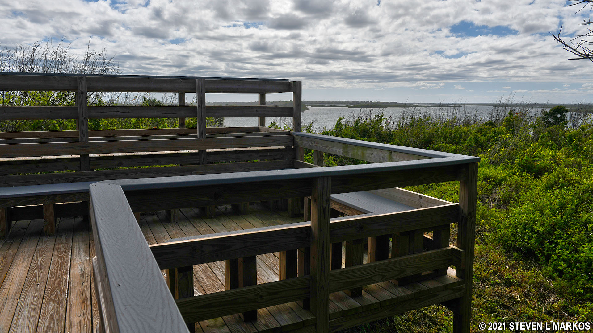
Once at the top of the midden—the highest point in Canaveral National Seashore—there are three observation decks. You come to the first one as soon as you reach the top, and from here you can see straight across Mosquito Lagoon.
First observation deck at the top of the Turtle Mound shell midden, Canaveral National Seashore
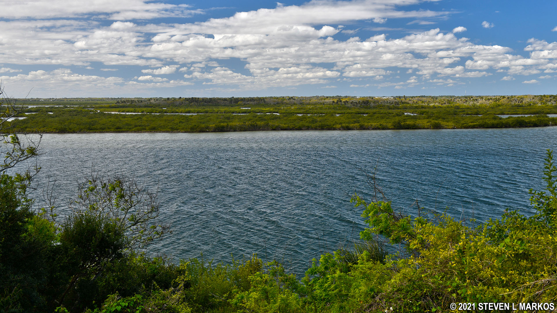
View of Mosquito Lagoon from Turtle Mound at Canaveral National Seashore
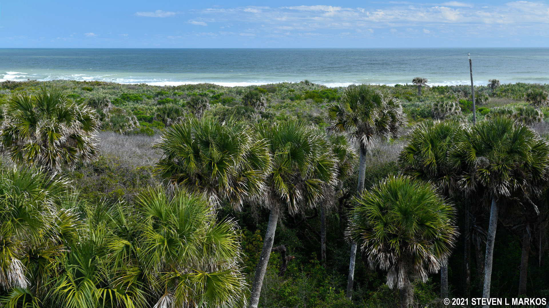
If you head to the left, the view is towards the south, but still of Mosquito Lagoon.
Southern observation deck on Turtle Mound in Canaveral National Seashore
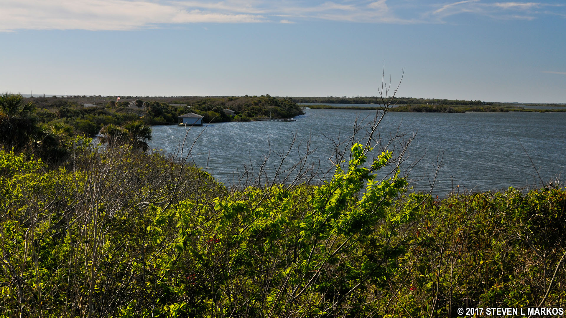
View south towards the Canaveral National Seashore Visitor Center
The best view is to the right. Here you can see Mosquito Lagoon to the north as well as the Atlantic Ocean.
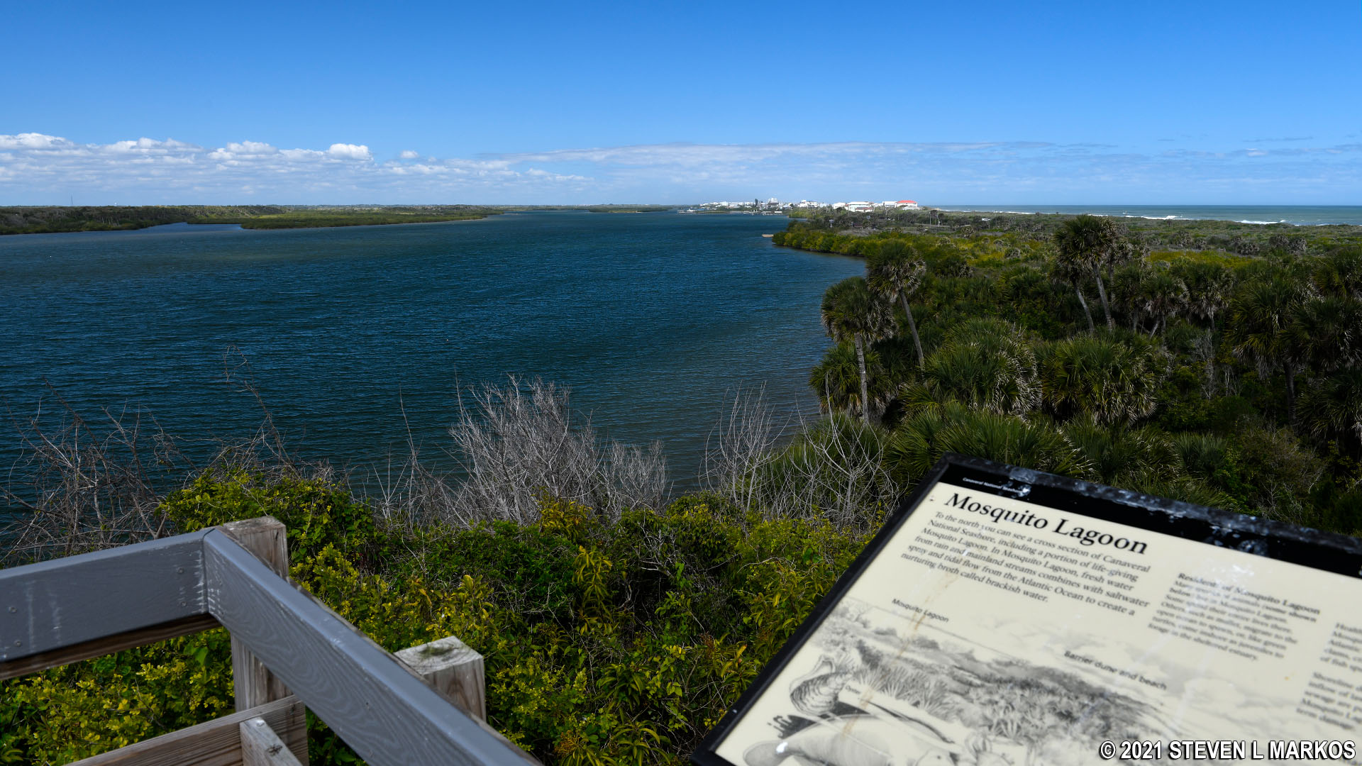
View of Mosquito Lagoon from the northern observation deck on Turtle Mound
View of the Atlantic Ocean from Turtle Mound in Canaveral National Seashore
When you return, you can take the boardwalk back to the road or continue straight along the shore towards a small group of picnic tables. Just beyond the tables, the path curves to the left and comes out on the road at the southern end of the parking lot.
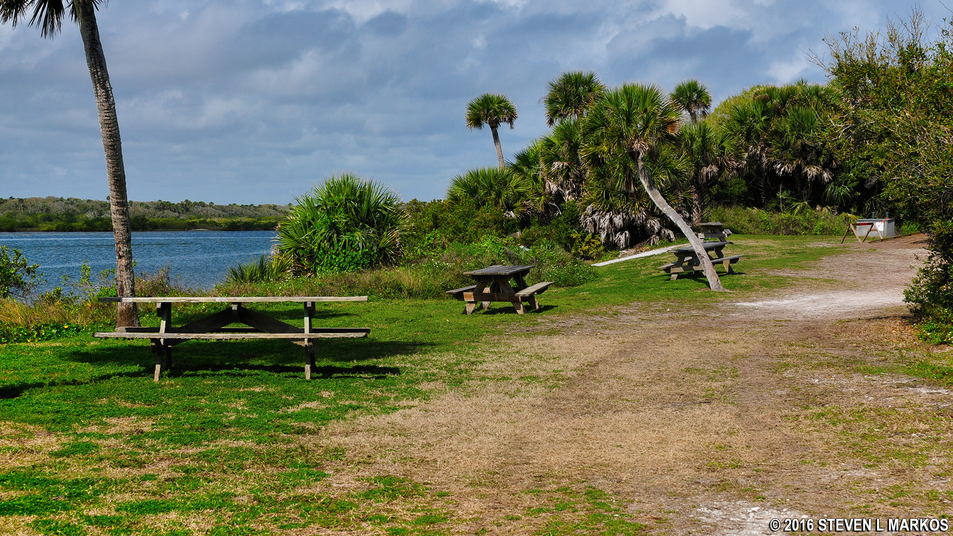
Picnic tables along Mosquito Lagoon near Turtle Mound at Canaveral National Seashore
I doubt many people care that they are walking on an ancient garbage dump, particularly since you really can’t see the shell midden any longer. The true interest in the trail is and should be the views. If you have time, stop and hike to Turtle Mound. It only takes fifteen minutes, and you don’t have to put forth much of an effort.
With a few exceptions, use of any photograph on the National Park Planner website requires a paid Royalty Free Editorial Use License or Commercial Use License. See the Photo Usage page for details.
Last updated on April 22, 2022


