

Delaware River upstream from Barryville, New York, Upper Delaware Scenic and Recreational River
Length: 1.5 miles
Water Level at Time of Trip: 3.85 feet
Average moving speed: 4 MPH with two paddlers
Time: 25 minutes
This river review covers the Delaware River from the Highland Canoe Launch to the Barryville Canoe Launch in Barryville, New York, a span of 1.5 miles. This is the shortest distance between any two boat launches within the boundary of the Upper Delaware Scenic and Recreational River. Both are for hand-paddled watercraft only.
Before starting a trip on the Upper Delaware Scenic and Recreational River, it is a good idea to check the water levels so that you have an idea of the river conditions. Levels of 2.5 to 4 feet are average and provide plenty of water for a trip down the river with conditions suitable for paddlers of all skill levels. The water level gauge relevant to the Highland–Barryville section of the river is the one at Barryville, New York (2 miles downriver from Highland). On the day of my trip in late October, the Barryville gauge reported a level of 3.85 feet (historically, the water level near Barryville is typically 4 feet or more). The observations made in this report are based on this water level, so adjust your expectations according to the conditions on the day you do the trip. The lower the water, the more often you will hit rocks on the bottom of the riverbed and get stuck. The higher the water, the more paddling skills you need.
Upon departing from Highland, the water is very slow, almost pond-like. There are also a lot of large boulders in the water. Many of them are sticking out of the water, but there are also plenty just below the surface. It is easy to run up on one of these rocks and get stuck if you aren’t paying attention. What compounds the problem is the slow current. A boulder may be just below the surface, yet the current is so slow that the water running over it does not cause any turbulence, which makes it hard to see, especially if there is glare on the water.
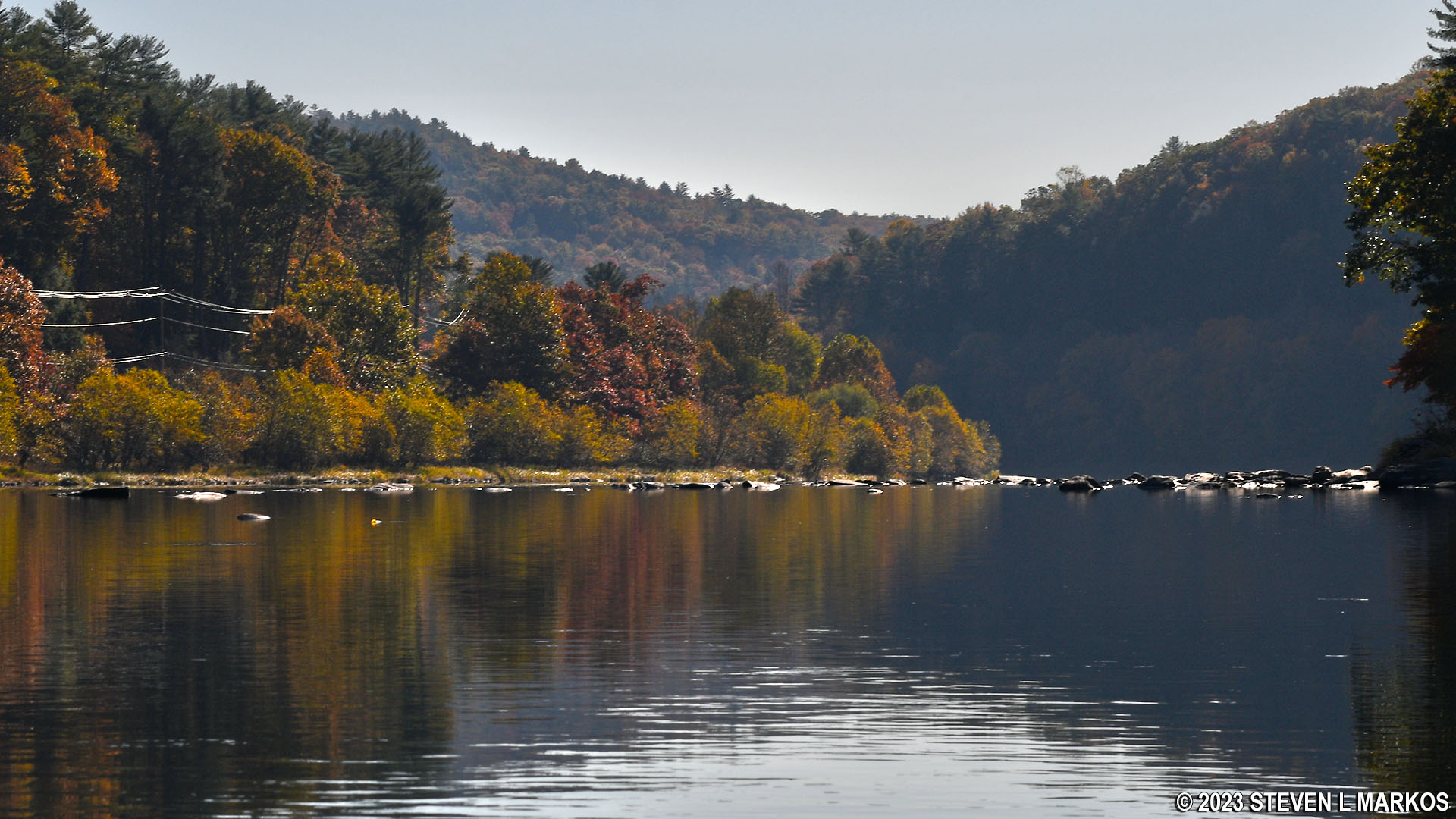
Calm water just downstream from the Highland Canoe Launch on the Upper Delaware Scenic and Recreational River
A half mile downriver is a large riffle area that stretches for .4 mile. The water is choppy, but the current remains quite slow. Again, there are a lot of rocks in this area that you must slalom around.

Delaware River between Highland and Barryville, Upper Delaware Scenic and Recreational River
Another thing to point out about this section of the Upper Delaware Scenic and Recreational River is that this is a more developed area. Starting upriver from the Highland launch are four river outfitters and campgrounds, and there are many houses along the shore as Barryville comes on the radar.

Homes along the Upper Delaware Scenic and Recreational River near Barryville, New York
The bridge you eventually see is the Barryville-Shohola Bridge. There is another riffle area just prior to it that might be fun for the kids, but for everyone else it’s just another exercise in dodging rocks.

Run of small rapids just upstream from the Barryville-Shohola Bridge, Upper Delaware Scenic and Recreational River
The Barryville Canoe Launch is located on the New York (left) side of the river at the base of the bridge before going under it. There is also a launch on the other side, but this is a private launch that belongs to a river outfitter. If you are ending a trip at Barryville, you must carry your boat a tenth of a mile up a dirt path to the parking lot. It’s not the most convenient launch point, but it’s not the worst either.
Next River Section | Previous River Section | River by Section Home Page
With a few exceptions, use of any photograph on the National Park Planner website requires a paid Royalty Free Editorial Use License or Commercial Use License. See the Photo Usage page for details.
Last updated on August 19, 2023


