
The Pond Loop Trail circles a pond near the Cliff Park Golf Course at the northern end of Delaware Water Gap National Recreation Area
Length: .8-mile loop
Time: 30 minutes
Difficulty: Easy
The Pond Loop Trail is one of many trails in the Cliff Park section of Delaware Water Gap National Recreation Area. Located at the northern end of the park near Milford, Pennsylvania, this section takes its name from the Cliff Park Golf Course, the first golf course in America designed by a woman, Annie R. Buchanan. It became part of the park when the land was donated by the Buchanan Family in 2003. The Buchanans owned the property since 1803, and the golf course has been around since 1913.
The Pond Loop Trail is accessible via other trails when hiking from the Milford Knob and Hackers trailheads, but if all you want to do is hike around the pond, start at the Cliff Park Trailhead near the Cliff Park Golf Course. This puts you directly on the Pond Loop Trail, as well as the Buchanan Trail.

Corrected trail map for the Cliff Park Area trails at Delaware Water Gap National Recreation Area (click to enlarge)
The Pond Loop and Buchanan trails form a figure eight, with the central section being common to both. From the Cliff Park Trailhead parking lot, you can start a hike on either trail as well as on the shared section. To figure out which trail is which, look for color-coded posts: orange for the Buchanan Trail, blue for the Pond Loop Trail, and blue and orange for the shared central section. The orange-topped post is at the far end of the parking lot to the left of the fancy outhouse—a portable toilet in a permanent building. Starting here sets you off hiking around the Buchanan Trail in the counterclockwise direction.
Buchanan Trail in the Cliff Park section of Delaware Water Gap National Recreation Area starts on the left side of the restroom building
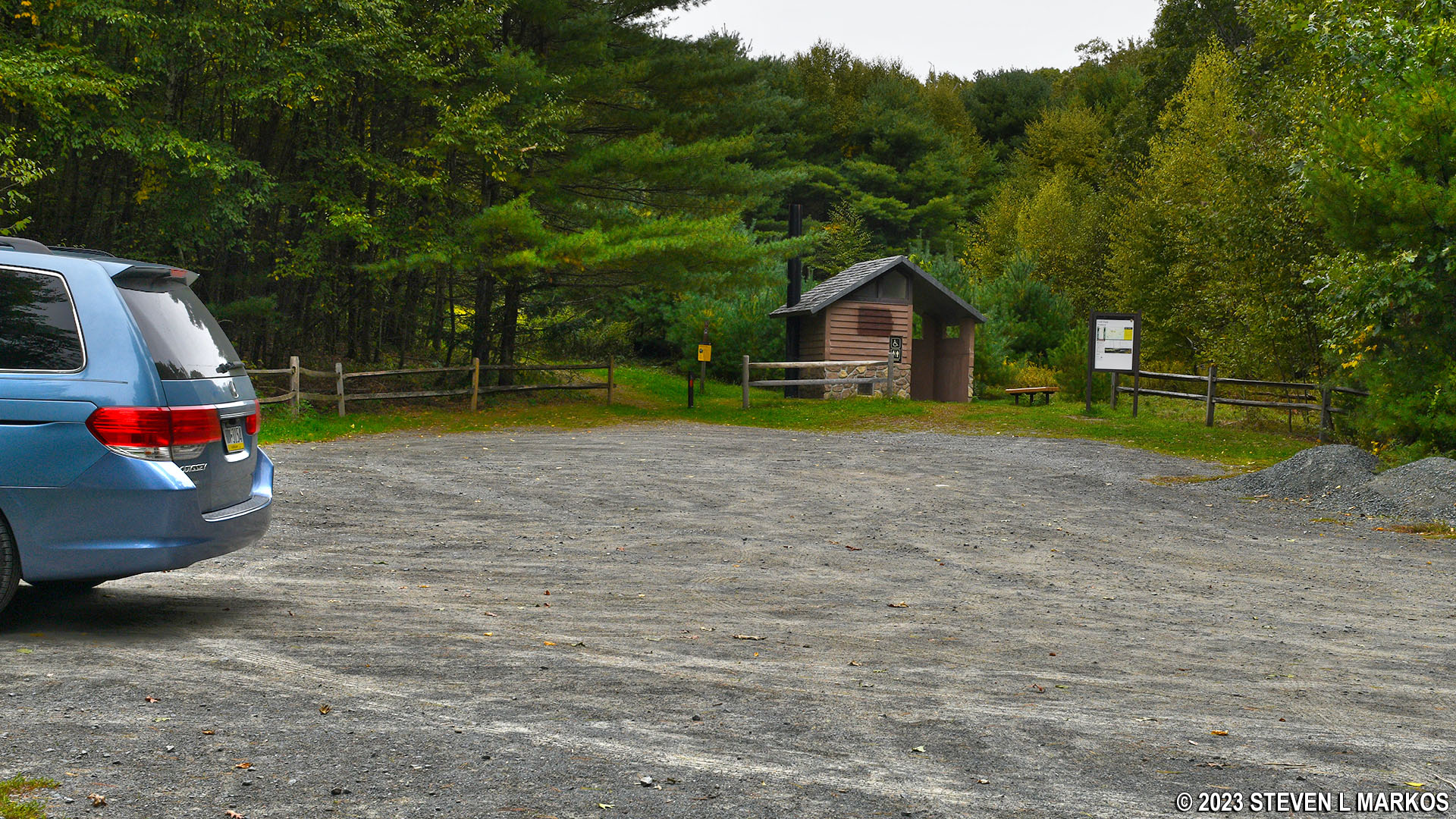
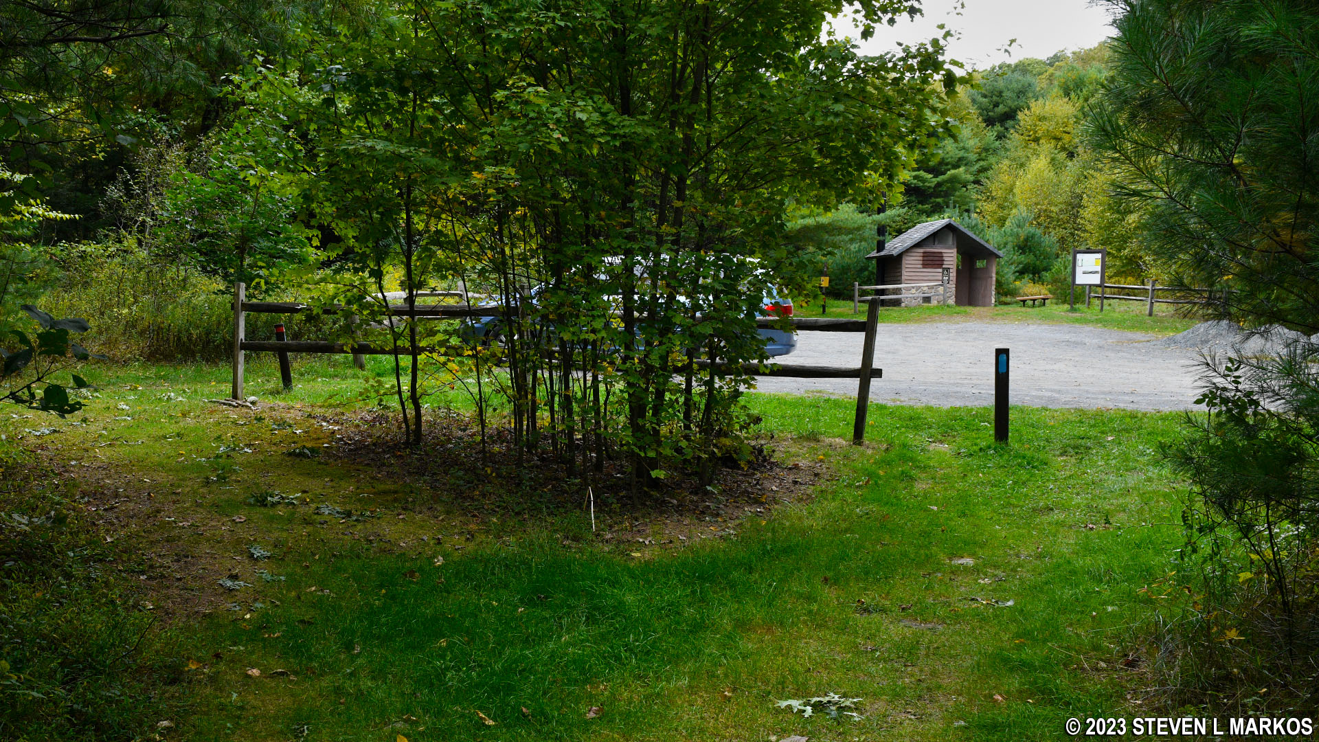
On the opposite side of the parking lot from the restroom are the trailheads for the Pond Loop Trail and the shared central section. Starting from here on the Pond Loop Trail sends you around in the clockwise direction. By starting on the shared central section, you can hike around the Pond Loop Trail in the counterclockwise direction or the Buchanan Trail in the clockwise direction. I started my hike around the pond on the central section, so this report is written from the counterclockwise perspective.

Trailhead for the shared section of the Buchanan and Pond Loop trails in Delaware Water Gap National Recreation Area
The first thing you’ll come to once you get to the pond, which is just a minute’s walk away, is some sort of maintenance building. I have no idea what it is for, but inside is a pump, and pipes and hoses run from it to the pond’s shore. I also have no idea what the pond is called, so for this report I will refer to it as the Cliff Park Pond.
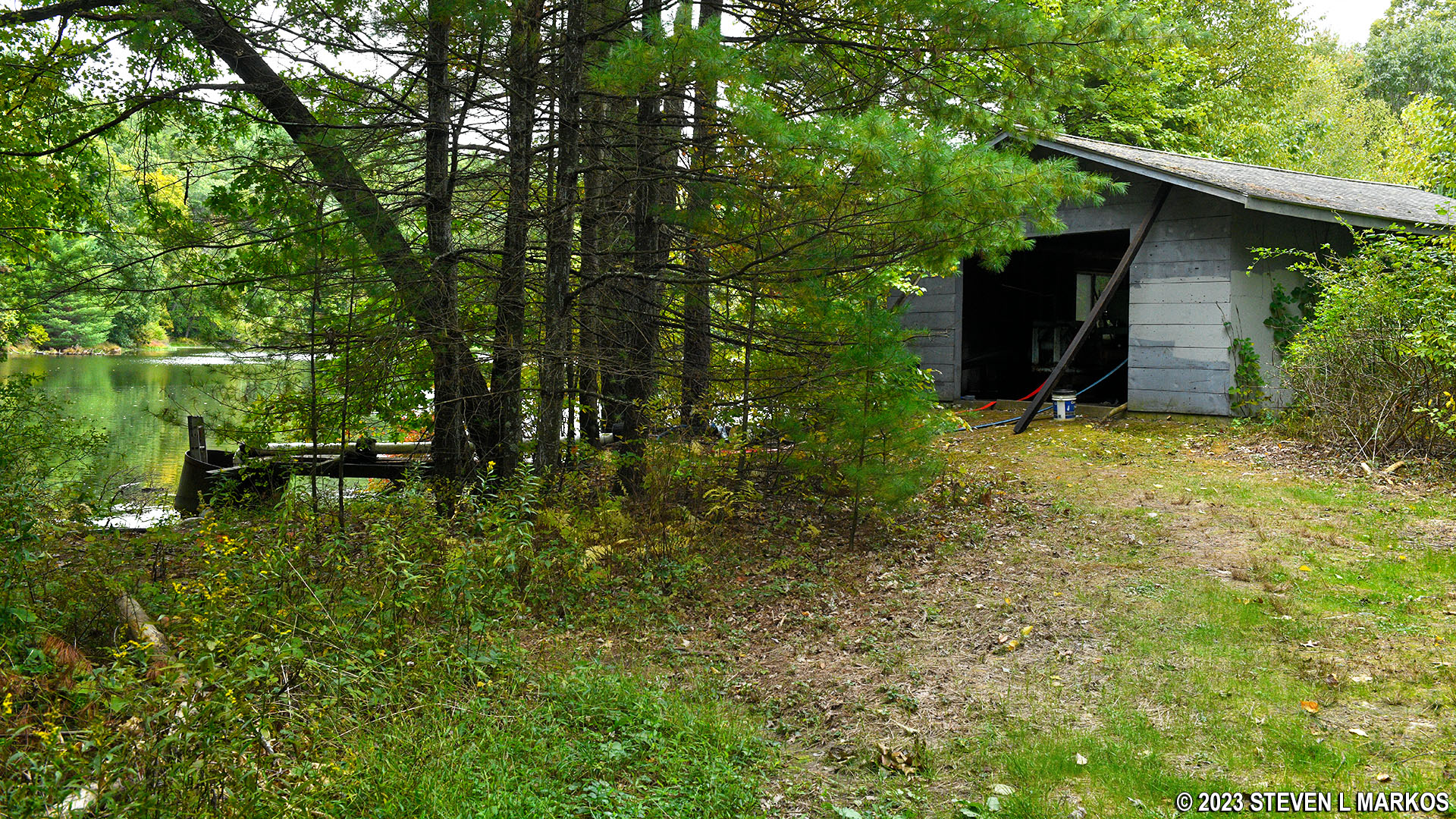
Pump house next to the Cliff Park Pond in Delaware Water Gap National Recreation Area
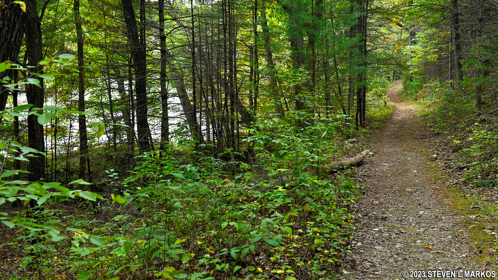
Beyond the pump house, the Pond Loop Trail appears to be an old road (I could see tire tracks on some portions of it). The terrain is flat and the trail surface is smooth, so you don’t have to worry about twisting an ankle on loose rocks or tree roots. In fact, the entire trail is pretty much the same all the way around.
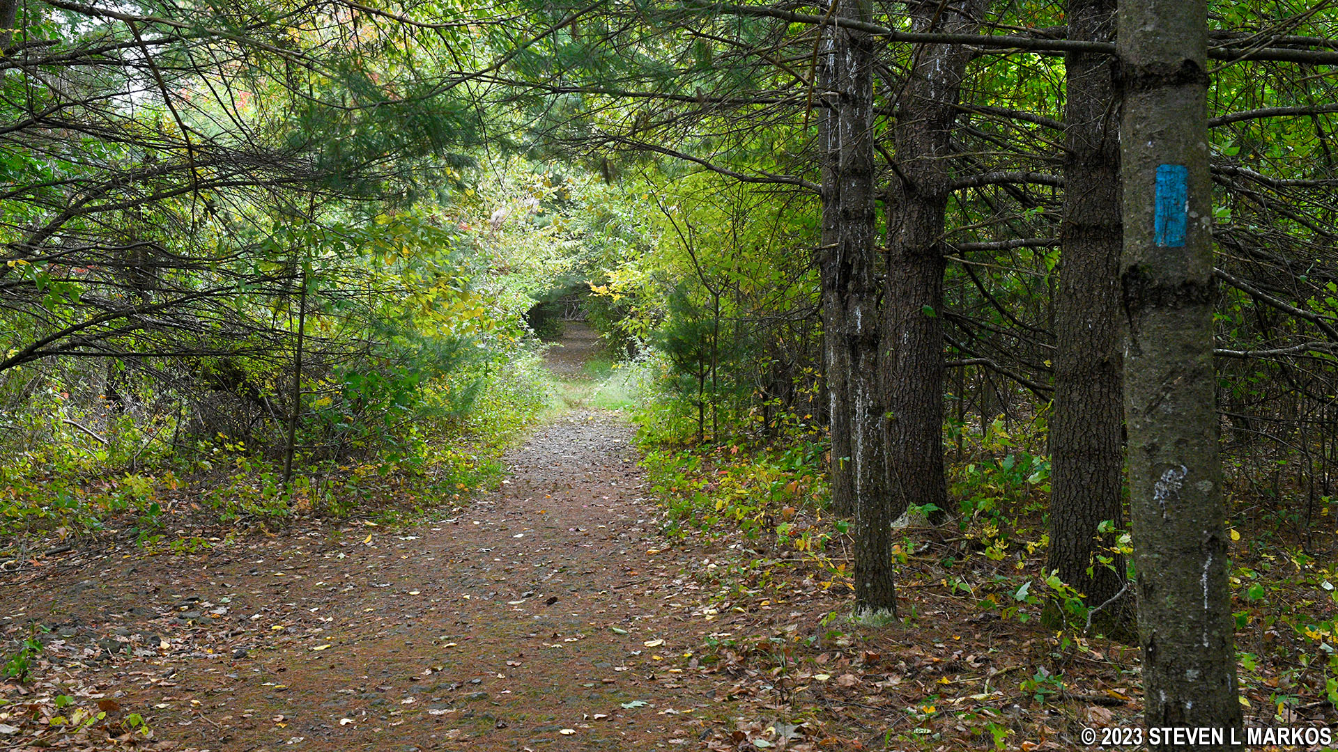
Typical terrain on the Pond Loop Trail in the Cliff Park section of Delaware Water Gap National Recreation Area
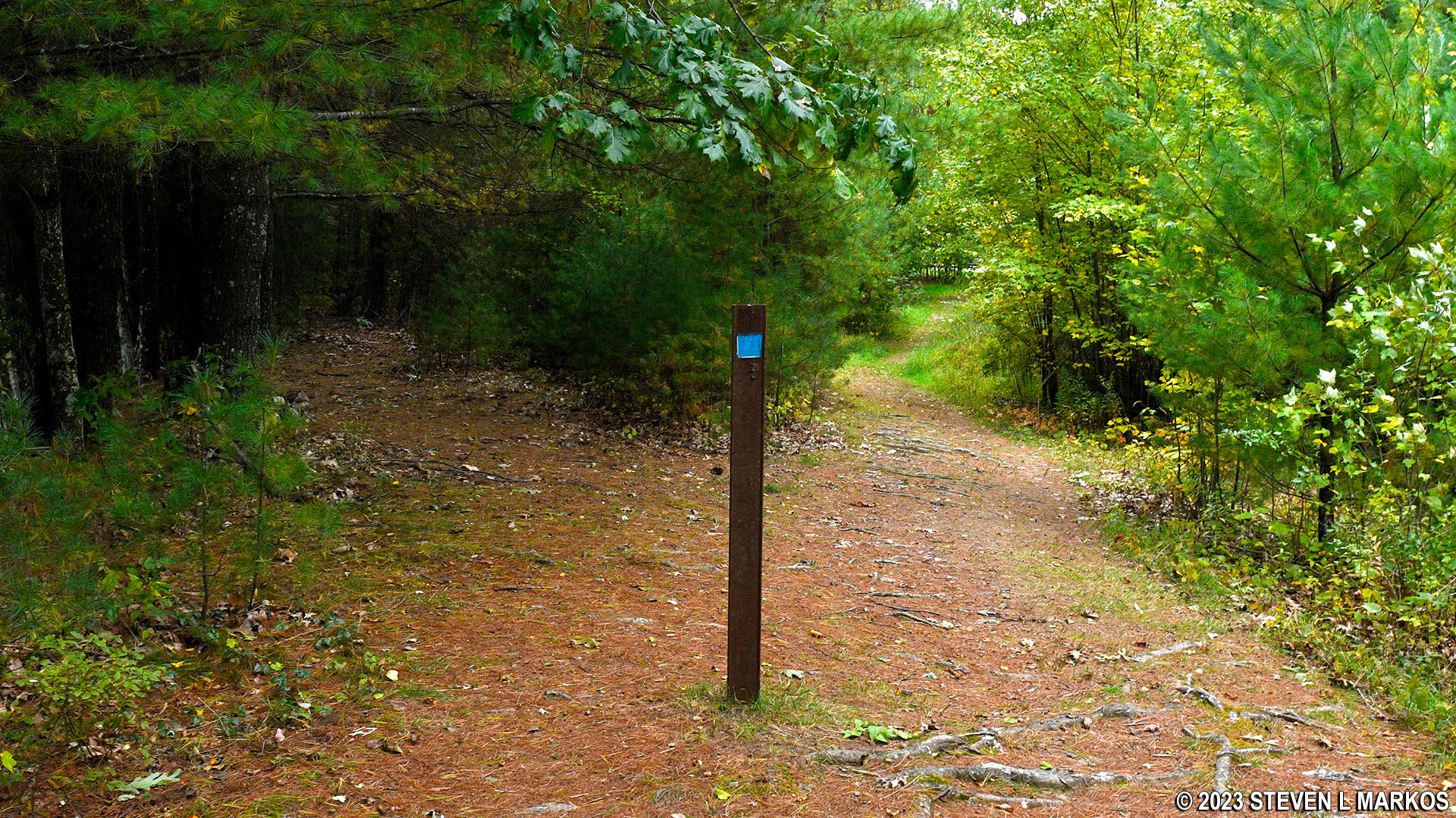
The two trails diverge in a little over .4 mile, with the Pond Loop continuing to the left and the Buchanan Trail to the right. The intersection is marked with a color-coded sign post, though trail names themselves are not given. As long as you know the trail colors, you should know which way to go.
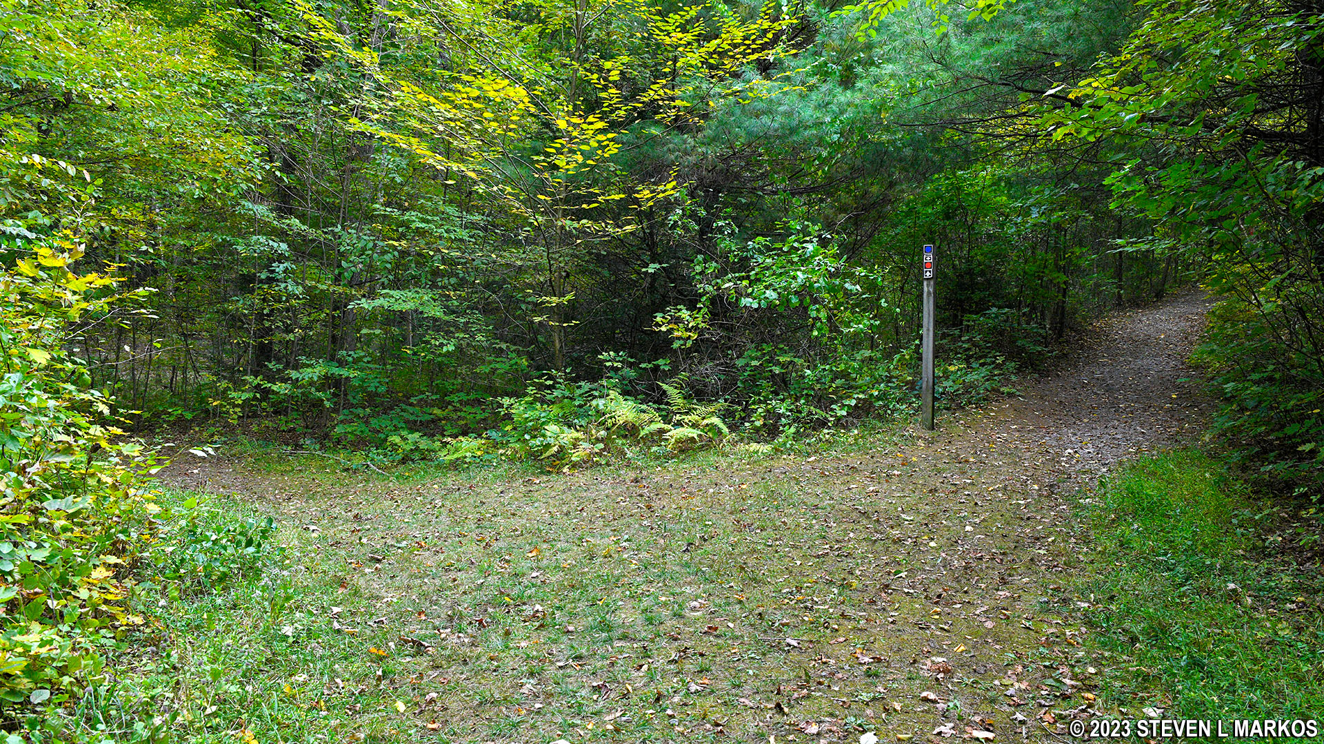
The Pond Loop and Buchanan trails diverge on the southeastern end of the Cliff Park Pond, Delaware Water Gap National Recreation Area
A hundred yards farther ahead is the intersection with a rocky connector trail that runs a tenth of a mile uphill to the central section of the Cliff Trail. The connector was closed during my visit due to Peregrine falcons nesting along the cliffs above the Delaware River. As the name implies, the Cliff Trail runs along these cliffs.
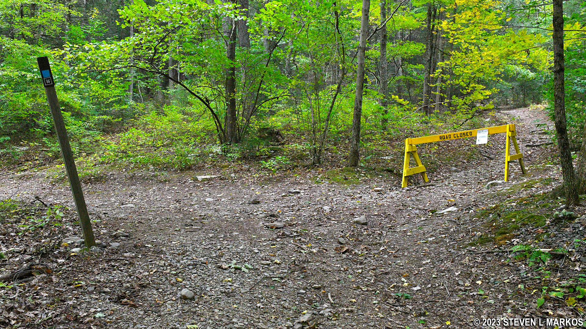
Intersection at the southeastern end of the Pond Loop Trail with a connector to the Cliff Trail, Delaware Water Gap National Recreation Area
At this point the Pond Loop Trail is far beyond the southeastern end of the pond, but once it curves around and begins heading northwest, you’re only a couple minutes away from views of the water. Trees and other vegetation grow between the trail and pond, and you’ll be tempted to Lewis-and-Clark It™ to the shoreline. However, there’s no need for that because there are a few spots where the vegetation clears, and you can walk right down to the water without bushwhacking your way to it.
The northeastern end of the Pond Loop Trail runs right along the Cliff Park Pond, Delaware Water Gap National Recreation Area
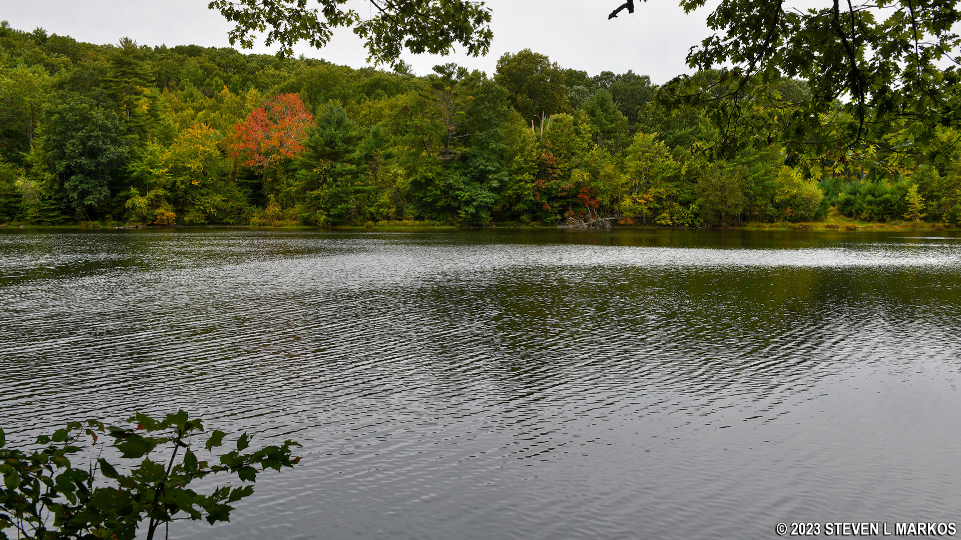
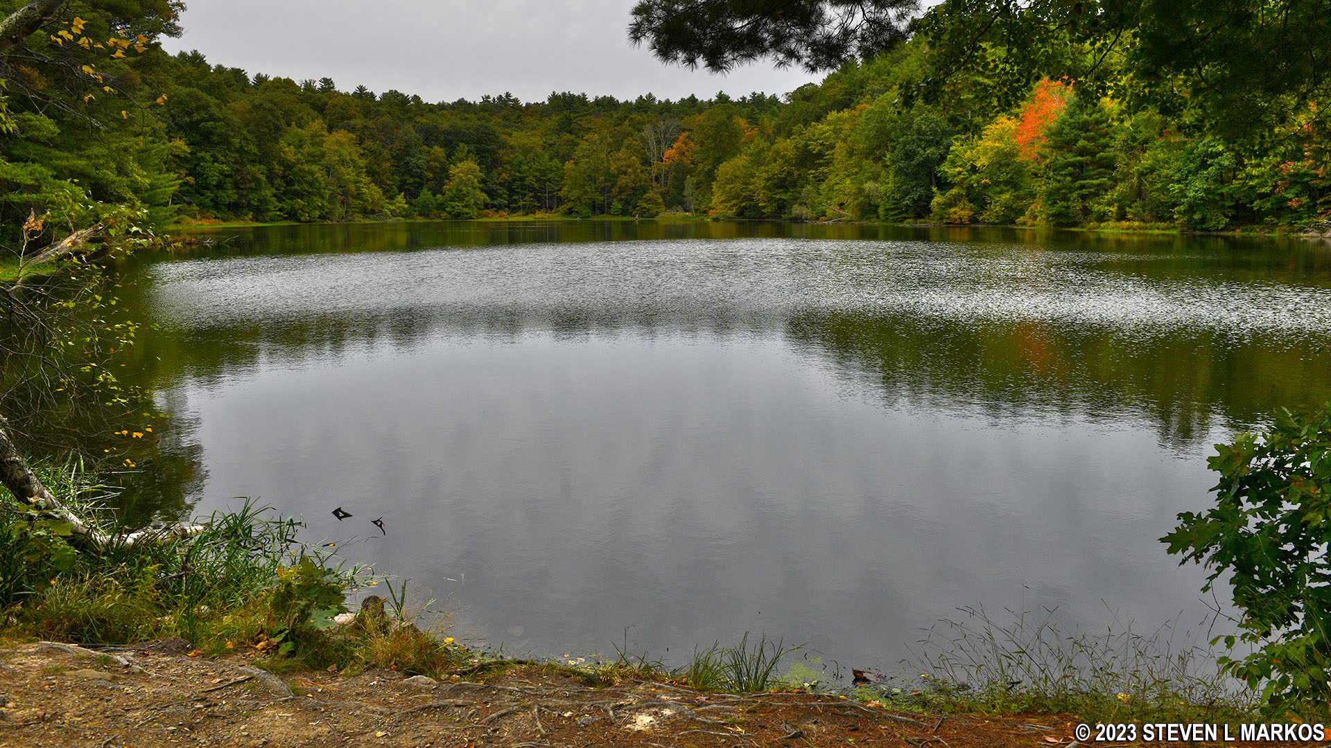
Pond near the Cliff Park Golf Course at the northern end of Delaware Water Gap National Recreation Area
The hike along the north side of the pond, like the south side, is only .4 mile long. When you get back to the northwestern end, the trail forks, with a right heading to the parking lot. It appears as if you can just keep hiking around the pond by staying to the left, but the trail dead ends near the pump house at the stream that feeds into the pond. You’d have to wade across the stream to continue hiking. If you want to do another lap, head to the parking lot and then start once again at the trailhead with the blue and orange post.
Fork to the Cliff Park Trailhead parking area on the northwest side of the Pond Loop Trail, Delaware Water Gap National Recreation Area
Arriving back at the Cliff Park Trailhead parking lot after a hike on the Pond Loop Trail in Delaware Water Gap National Recreation Area
With a few exceptions, use of any photograph on the National Park Planner website requires a paid Royalty Free Editorial Use License or Commercial Use License. See the Photo Usage page for details.
Last updated on January 15, 2024


