
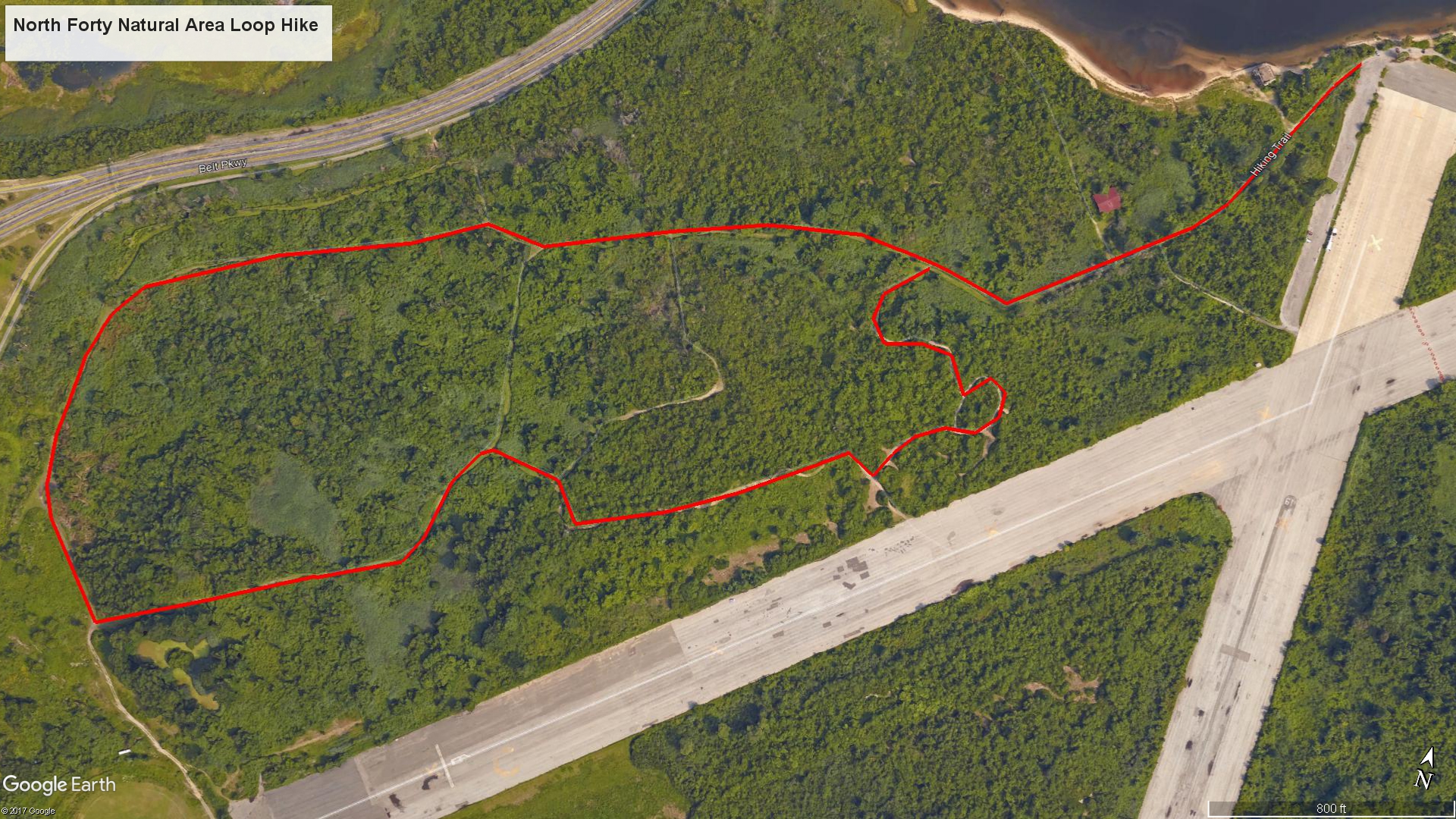
North Forty Loop Hike (click to enlarge)
Jamaica Bay Unit Home Page | Floyd Bennett Field Home Page
Length: 2.5-mile loop
Time: 1.5 hours
Difficulty: Easy, completely flat terrain
There are a number of non-named hiking trails that crisscross the North Forty Natural Area at the northwest side of Gateway National Recreation Area’s Floyd Bennett Field. None are particularly scenic or offer anything that pertains to history, so hiking them is for exercise purposes only. Though the trails are surrounded by vegetation, the trees are very short, so you will be exposed to the sun for most of the hike. Wear a hat and apply sunscreen if protecting yourself from the sun is important to you. There is also a healthy gnat population and a few mosquitoes, though gnats are a far bigger nuisance.
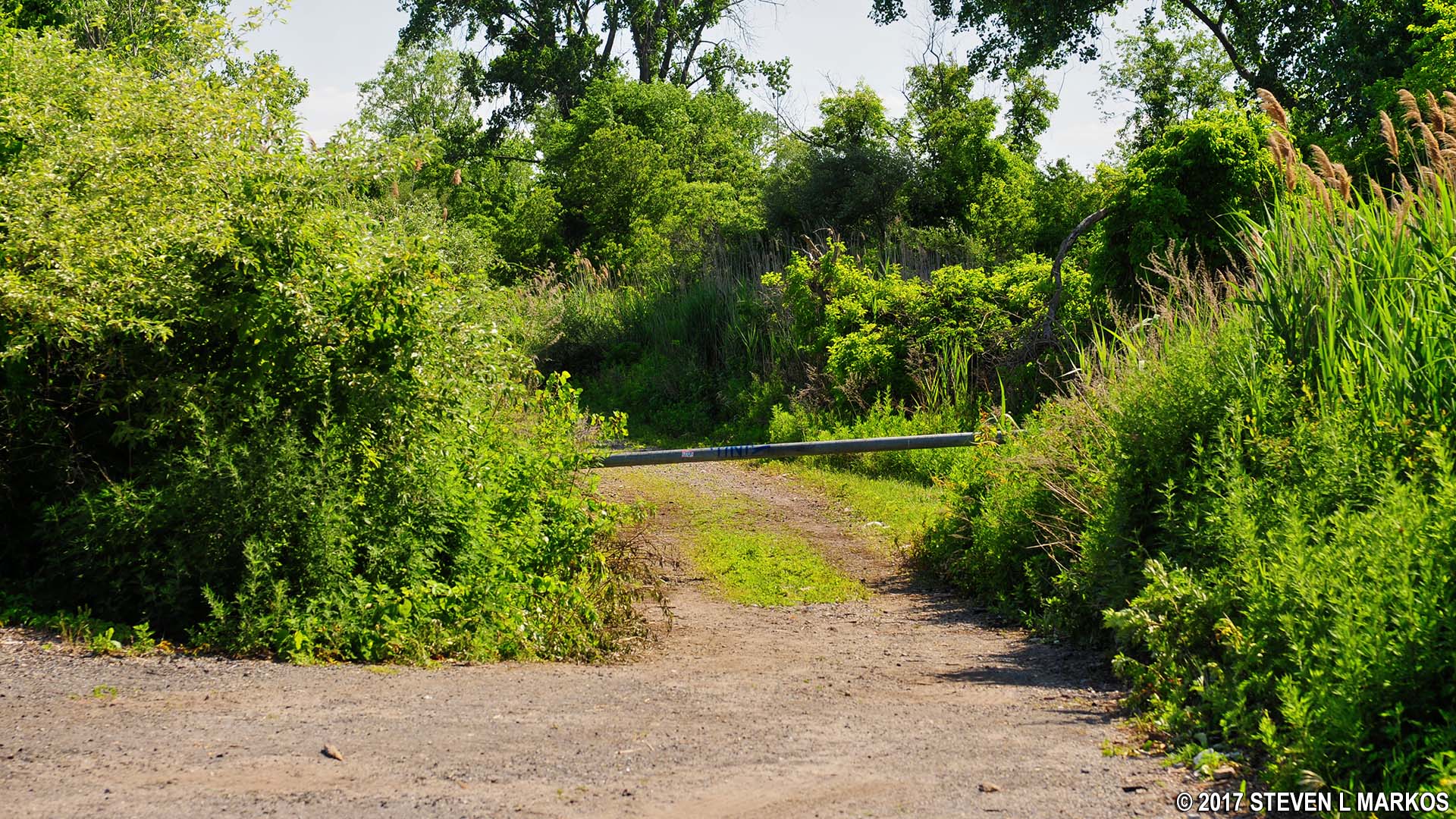
I formed a loop around the entire natural area starting at the end of an abandoned runway that is now used by remote control airplane enthusiasts. If looking out at Jamaica Bay, the trailhead is on the left near the canoe launch. There is no sign identifying it, and since there are no directional signs anywhere along the trail, you will need a map to find your way around. You can pick one up at the Ryan Visitor Center.
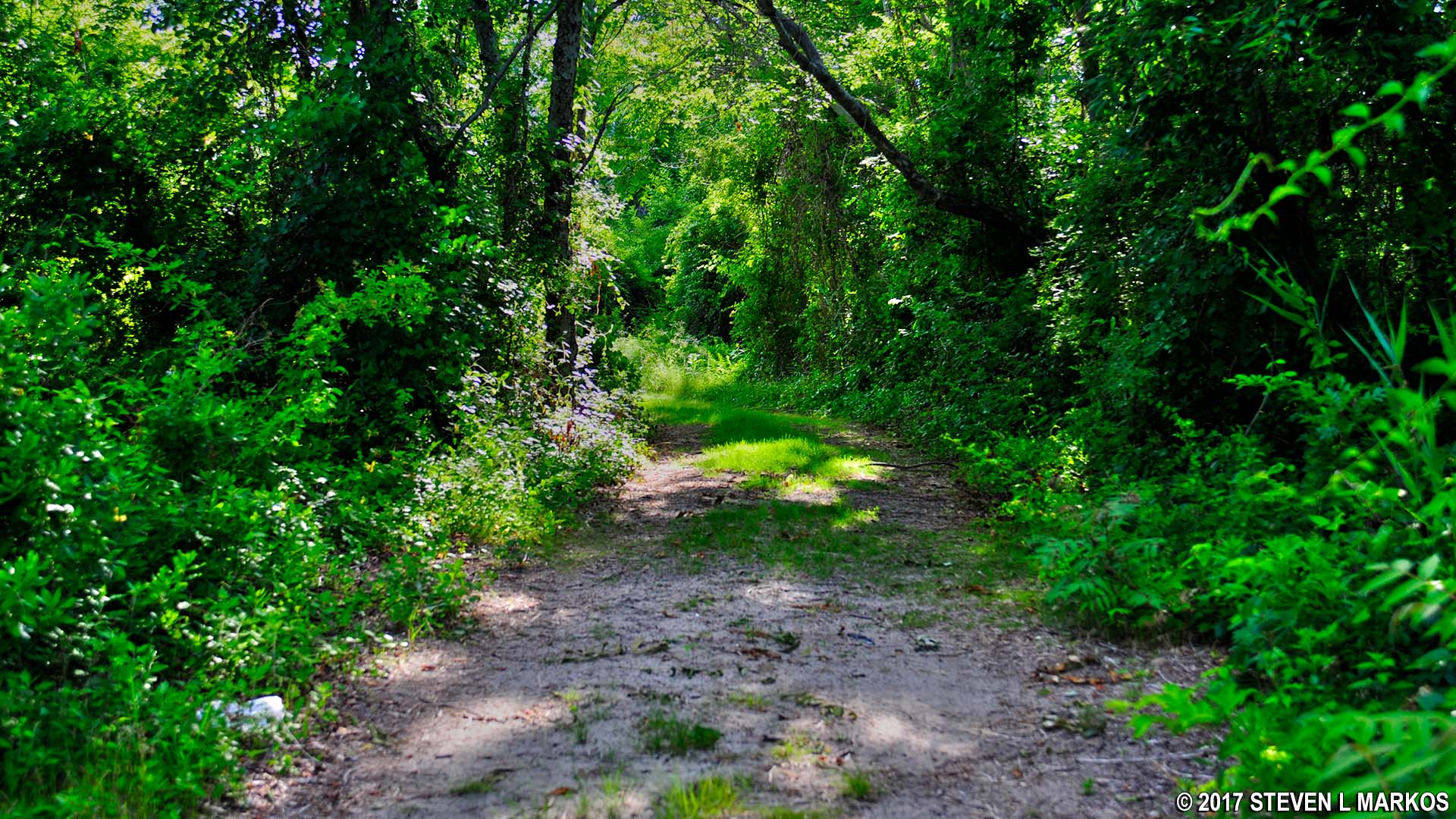
Trail into the North Forty Natural Area at Floyd Bennett Field, Gateway National Recreation Area
Right off the bat is an intersection with a trail that leads to an old, graffiti-covered building. It is within eyesight, so if you like old structures be sure to check it out. Internet sources, which may not be too reliable, claim this is an old storage building used by the military from around World War II up until 1971. Regardless, you can walk around inside.

Old building in the North Forty Natural Area at Floyd Bennett Field, Gateway National Recreation Area

Inside an old building in the North Forty Natural Area at Floyd Bennett Field, Gateway National Recreation Area
Once past the turnoff for the old building, the trail becomes much grassier, though it is still nothing but a former road. In fact, no new trails were cut specifically for hiking at Floyd Bennett Field. The grassy trails are simply roads that aren’t driven on anymore. The ones with tire tracks are used by Rangers to get around the park when doing maintenance.
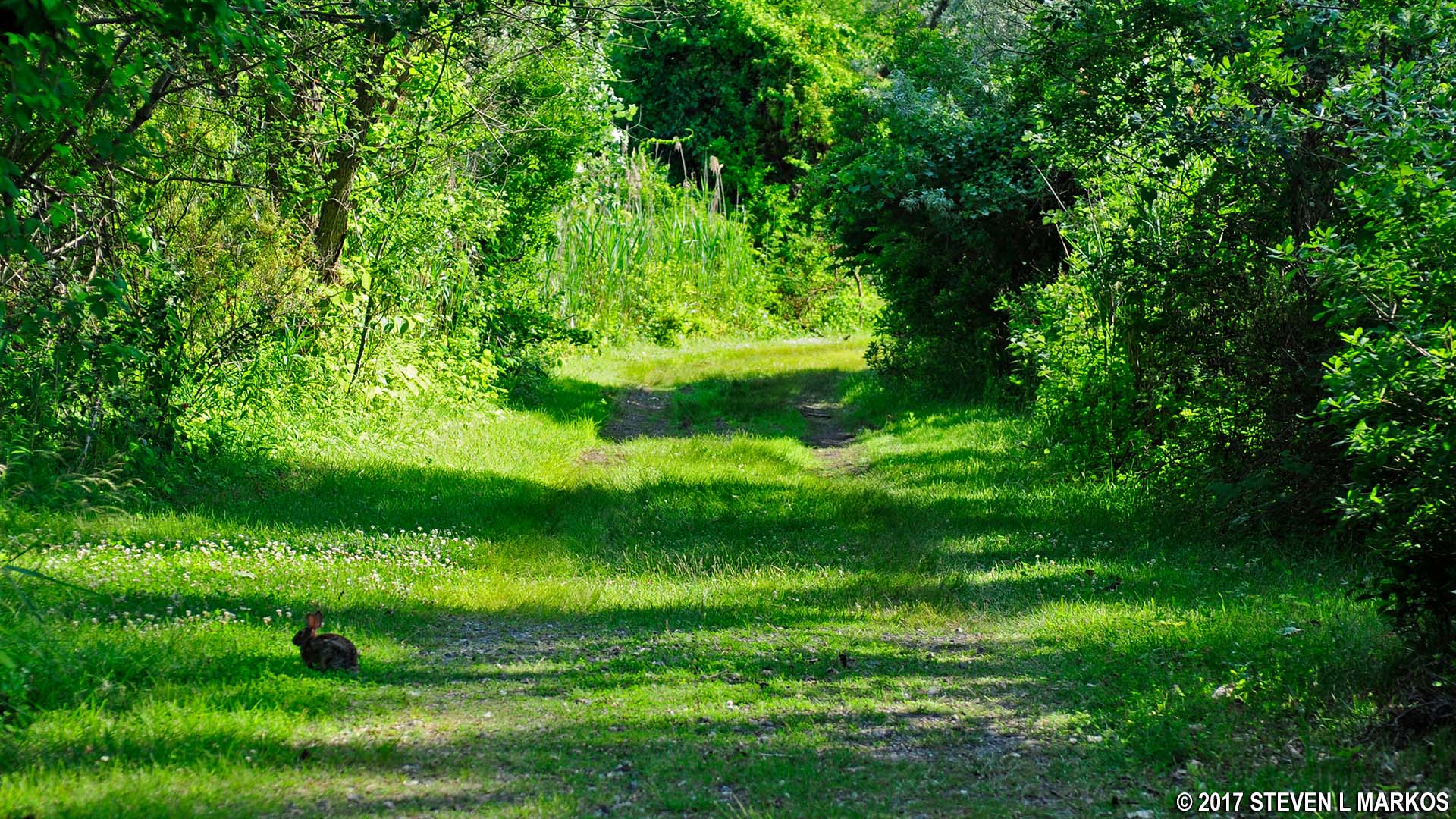
Rabbit on the hiking trail in the North Forty Natural Area at Floyd Bennett Field, Gateway National Recreation Area
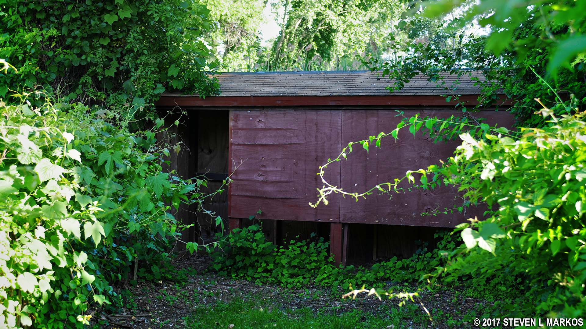
A few minutes farther down the trail is another turnoff to the left, but this just heads back to the runway. A hundred feet beyond this is a trail to the right that leads to an old barn. The map makes it look as if the trail goes all the way to the bay, but just beyond the barn it becomes completely overgrown and effectively comes to an end. Unless you want to see the barn—which you can’t get in—you might as well just keep straight on the main trail.
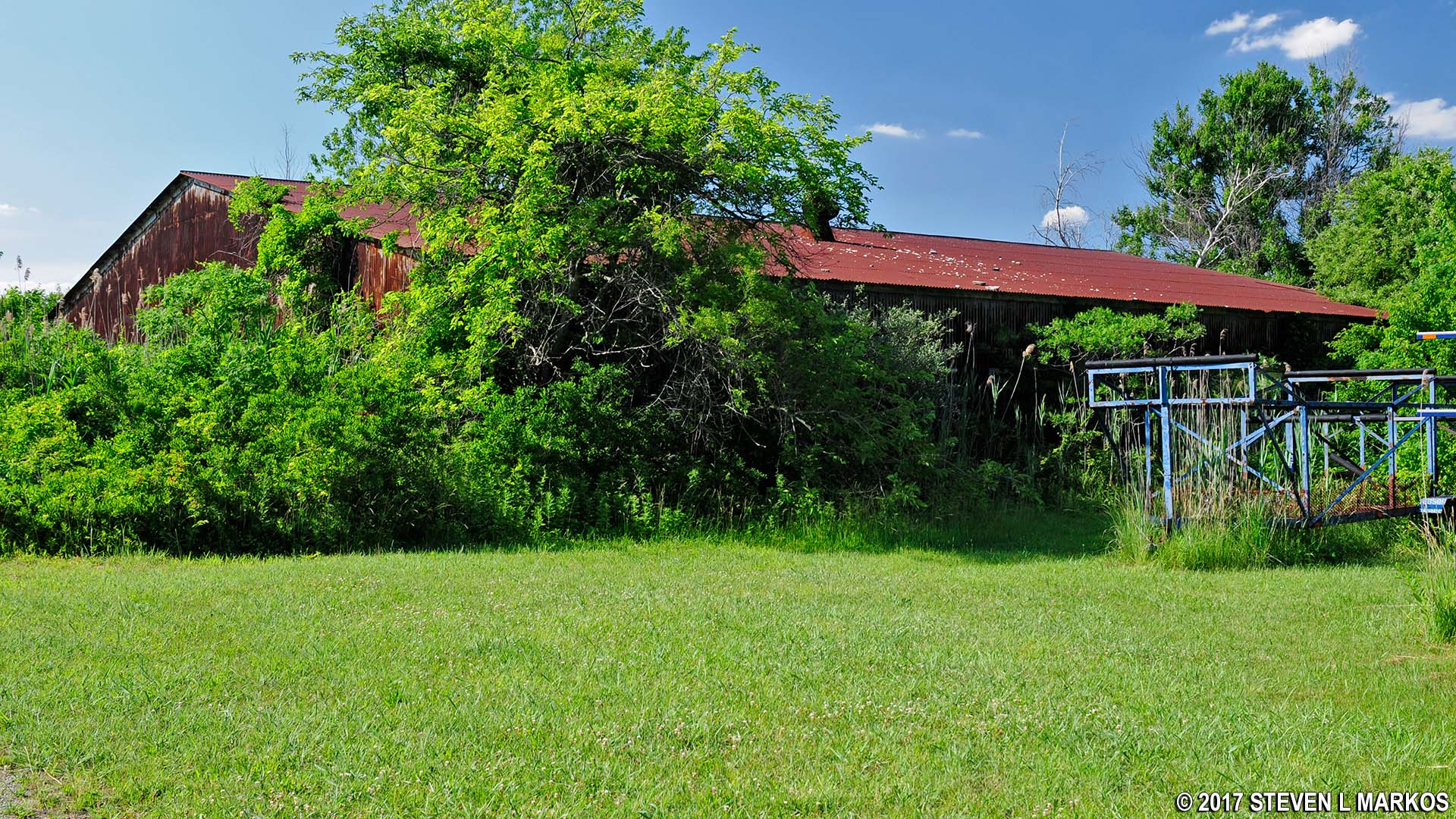
Old barn in the North Forty Natural Area at Floyd Bennett Field, Gateway National Recreation Area
The next intersection is at a small, open field, a half mile into the hike. This is the start of the loop portion of the trail, so you can proceed in either direction. I stayed straight and hiked around in a counterclockwise manner. This report is written from that perspective.
Two tenths of a mile farther is an intersection with a trail that goes to the left. Pass this by and continue until coming to another fork just a short distance ahead. You will once again find yourself in an area much wider and open than the typical hiking trail. Stay to the right to remain on the outside of the loop. You will be hiking towards the Beltway by doing so.
There is another fork just fifty yards ahead. A right leads even closer to the Beltway and allows you to form the largest loop around the North Forty Natural Area. A left parallels the outer loop—they are but a hundred yards or so apart—and the two reconnect .2 mile ahead. I stayed left, reasoning that when hiking I wanted to hear as little road noise as possible, so there was no sense in hiking right along the Beltway.
When you get to the point where the two trails merge back together—one mile into the hike—you will be at the southern end of the loop. The trail follows a gradual left-hand curve before making the turn back north. At this point the trail is really out in the open. When I did the hike, an outdoor club was running an obstacle course along the trail.
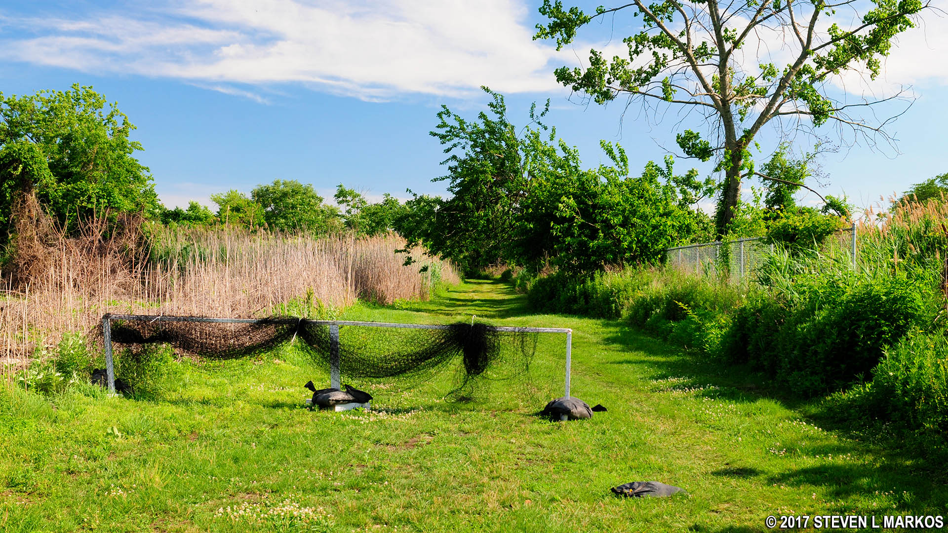
Wide open terrain at the southern end of the North Forty Natural Area at Floyd Bennett Field, Gateway National Recreation Area
The trail forks again in a tenth of a mile. Stay to the left; a right leads to Flatbush Avenue. It is the intersection after this one that you need to be on the lookout for. Unlike the previous intersections that were all essentially Y-shaped forks, this one is a 90º left-hand turn. If you end up in a parking lot, you missed it. At this point you begin the hike back north.
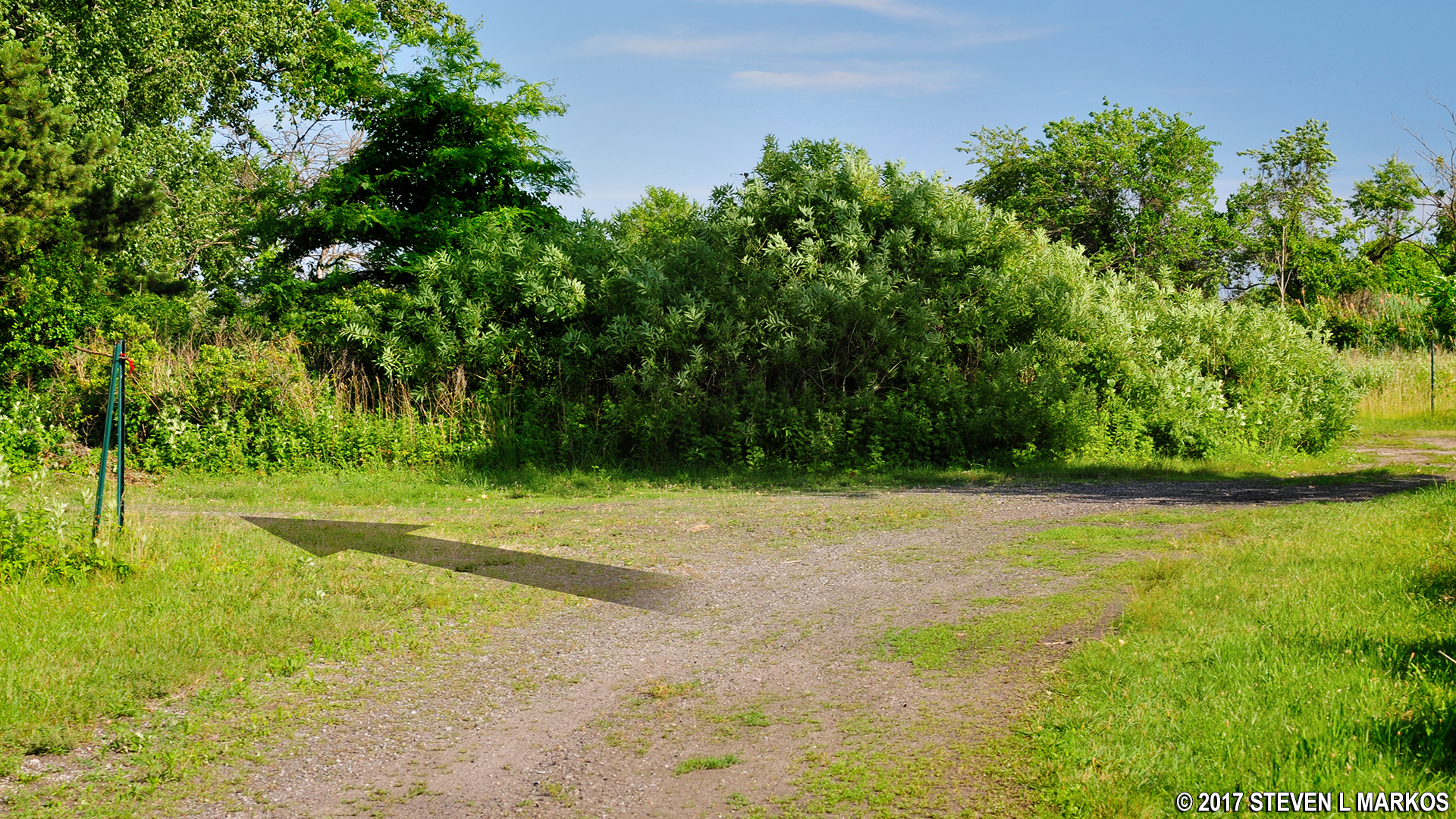
Start of the hike back north on the trails in the North Forty Natural Area at Floyd Bennett Field, Gateway National Recreation Area
No sooner do you turn than you’ll see a small building in an alcove on the right. This is a bird blind, and on the other side is a small pond, though the view is largely blocked by vegetation. The idea is that you can go inside and look out windows to see birds. They can’t see you, so they won’t fly away.
Bird blind in the North Forty Natural Area at Floyd Bennett Field, Gateway National Recreation Area
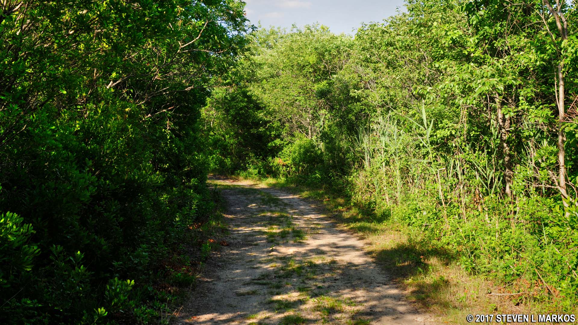
The trail soon becomes entirely covered in grass and darts in and out some shade.

Wide, grassy trail on the hike back north through the North Forty Natural Area at Floyd Bennett Field, Gateway National Recreation Area
In .3 mile is an intersection with a much narrower trail on your right. Take this turn and then another right at the next intersection just fifty yards farther ahead. This will set you hiking on the outermost loop possible along an obvious dirt road.
The trails in the North Forty Natural Area at Floyd Bennett Field are former dirt roads, Gateway National Recreation Area
At the next intersection you should be able to see one of the runways on your right. You don’t want to head there, so take a left to remain on the hiking trail.
In another hundred yards is an intersection that marks the start of a tiny loop. As mentioned, this hike is for exercise only, so there’s nothing worth seeing no matter which way you go. I went around the loop by taking a right, but feel free to skip it and take a left. If you do go around the loop, keep in mind that there are all sorts of intersections that lead to massive confusion if you aren’t thinking properly. All you need to do is keep taking lefts until you come to the intersection where you exit the loop by taking a right. Of course, recognizing when to turn right is the tricky part—I missed it and ended up back where I started. If this happens, just turn around and take a left at the next intersection.
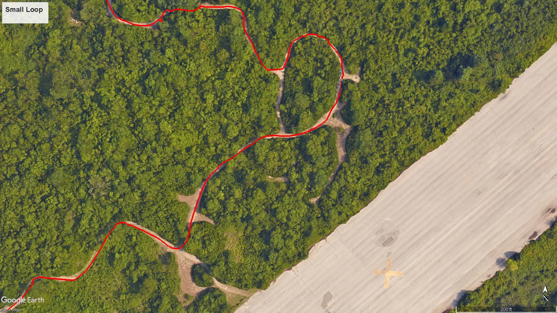
Layout of the small loop on the North Forty Natural Area Loop Hike
Once off the loop, just follow the trail—which is now fairly sandy—to the next intersection. This is where the loop portion of the hike first started. At this point you will have hiked approximately 2.1 miles. Take a right to return to the parking area, and you’ll be back at your car in .4 mile.
Last stretch of trail in the North Forty Natural Area at Floyd Bennett Field before arriving at the start of the loop, Gateway National Recreation Area
With a few exceptions, use of any photograph on the National Park Planner website requires a paid Royalty Free Editorial Use License or Commercial Use License. See the Photo Usage page for details.
Last updated on December 28, 2024


