
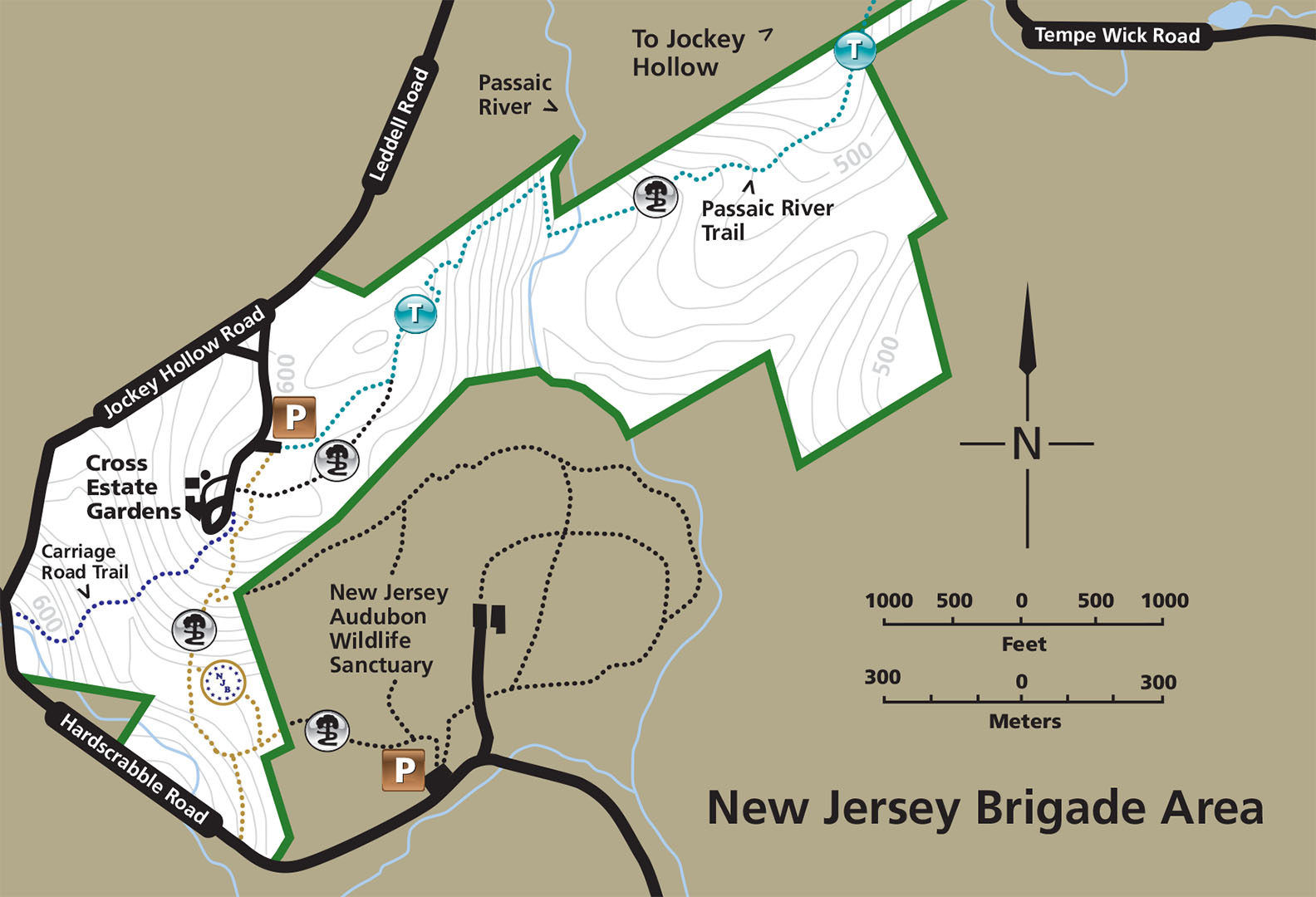
New Jersey Brigade Area Trail Map (click to enlarge)
Be sure to pick up a trail map at either the Jockey Hollow Visitor Center or the Washington’s Headquarters Museum. There is a small fee for the map. You can also download a PDF version on the Park Map web page here on National Park Planner.
Length: 1.25 miles, round trip
Time: 1 hour
Difficulty: ★★★☆☆
The southernmost section of Morristown National Historical Park is the New Jersey Brigade Encampment Area. While New Jersey soldiers camped throughout this section of the park, nothing remains of their stay except for the remnants of a few fireplace hearths and a trash pit. Reaching the campsite requires hiking 1.25 miles round trip on the Patriots Path, a collection of trails managed by the Morris County Park System. This particular segment runs from Speedwell Lake just north of Morristown to the New Jersey Audubon Society Wildlife Sanctuary, with a good part of it passing through Morristown National Historical Park. The segment of the Patriots Path that leads to the encampment area is also known as the New Jersey Brigade Trail.
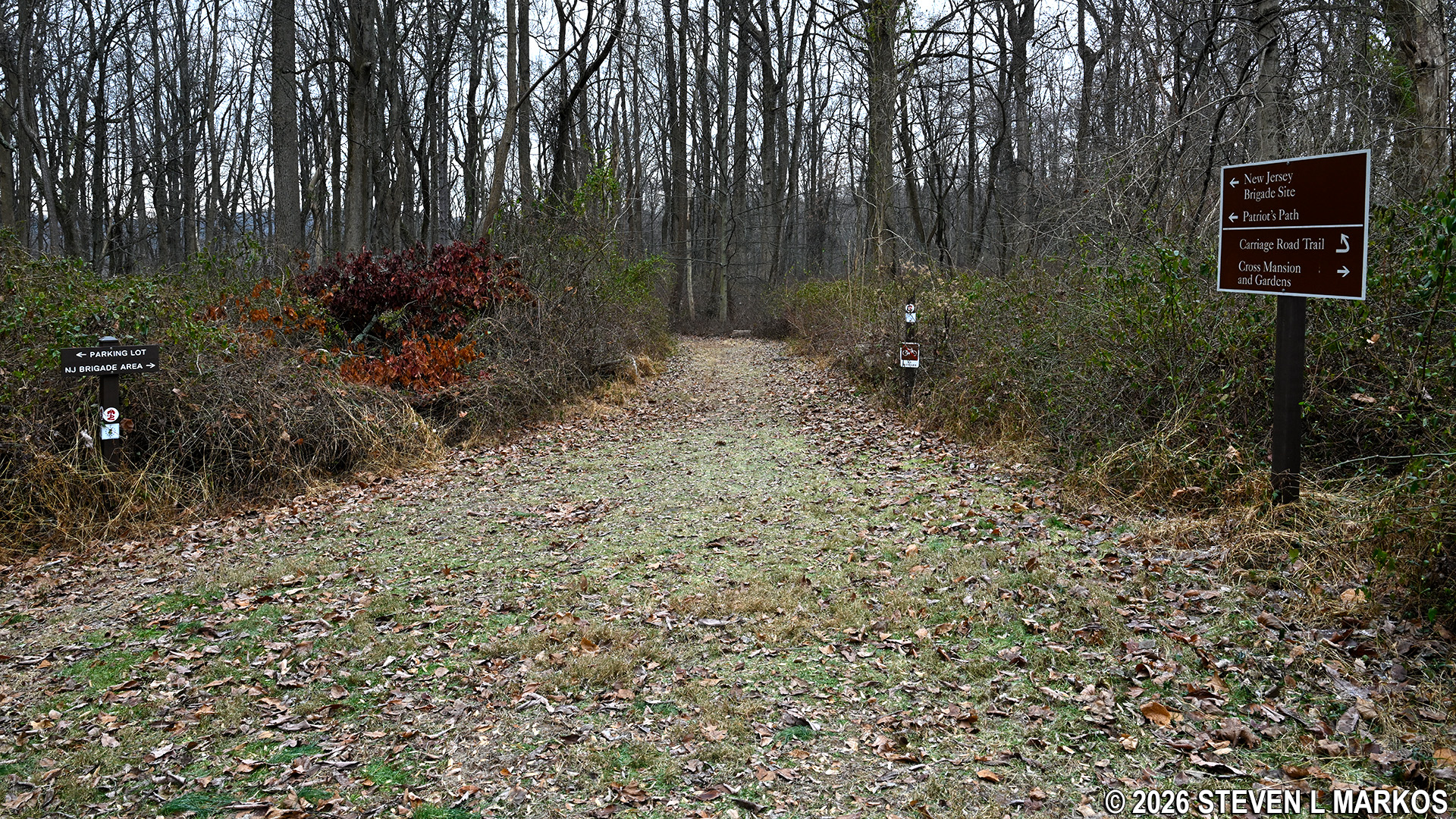
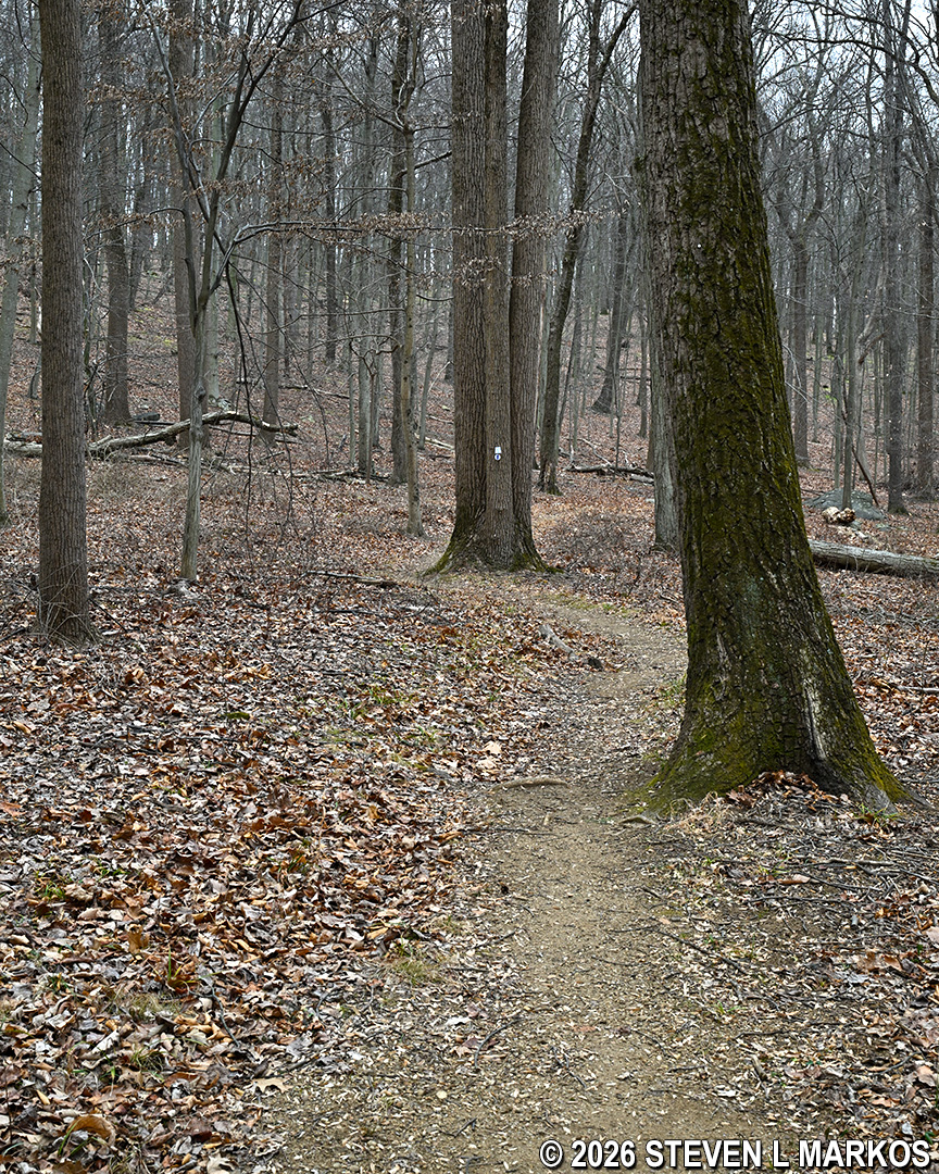
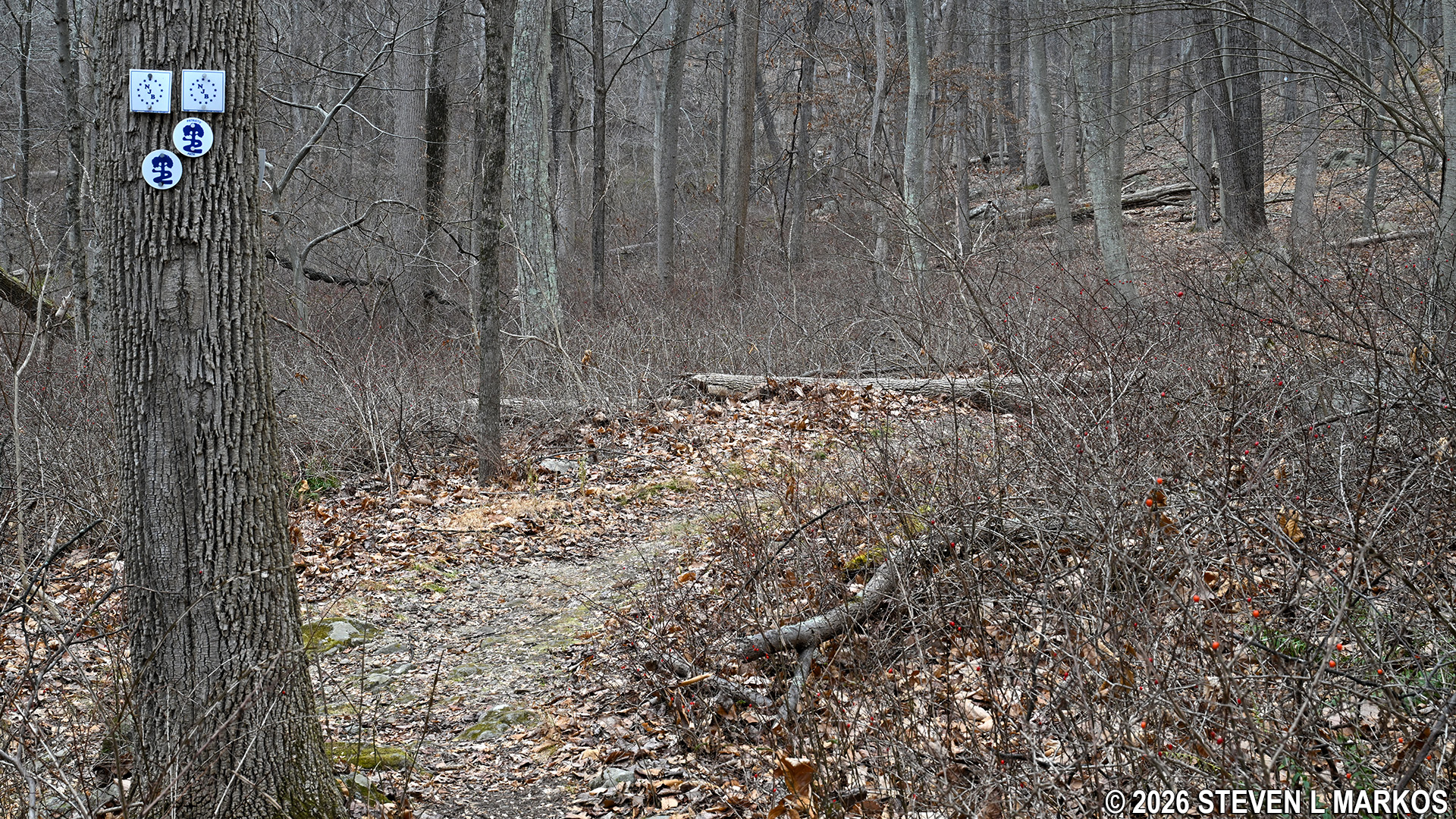
The New Jersey Brigade Trail starts at Cross Estate Gardens. When you turn off of Jockey Hollow Road to enter the estate, there is a parking area adjacent to an open field before you get to the house and gardens. Park here and look for a bulletin board and a sign that points to different destinations—head towards the PATRIOTS PATH / NEW JERSEY BRIGADE SITE. From here you will be walking on a .1-mile connector trail from the parking lot to the Patriots Path.
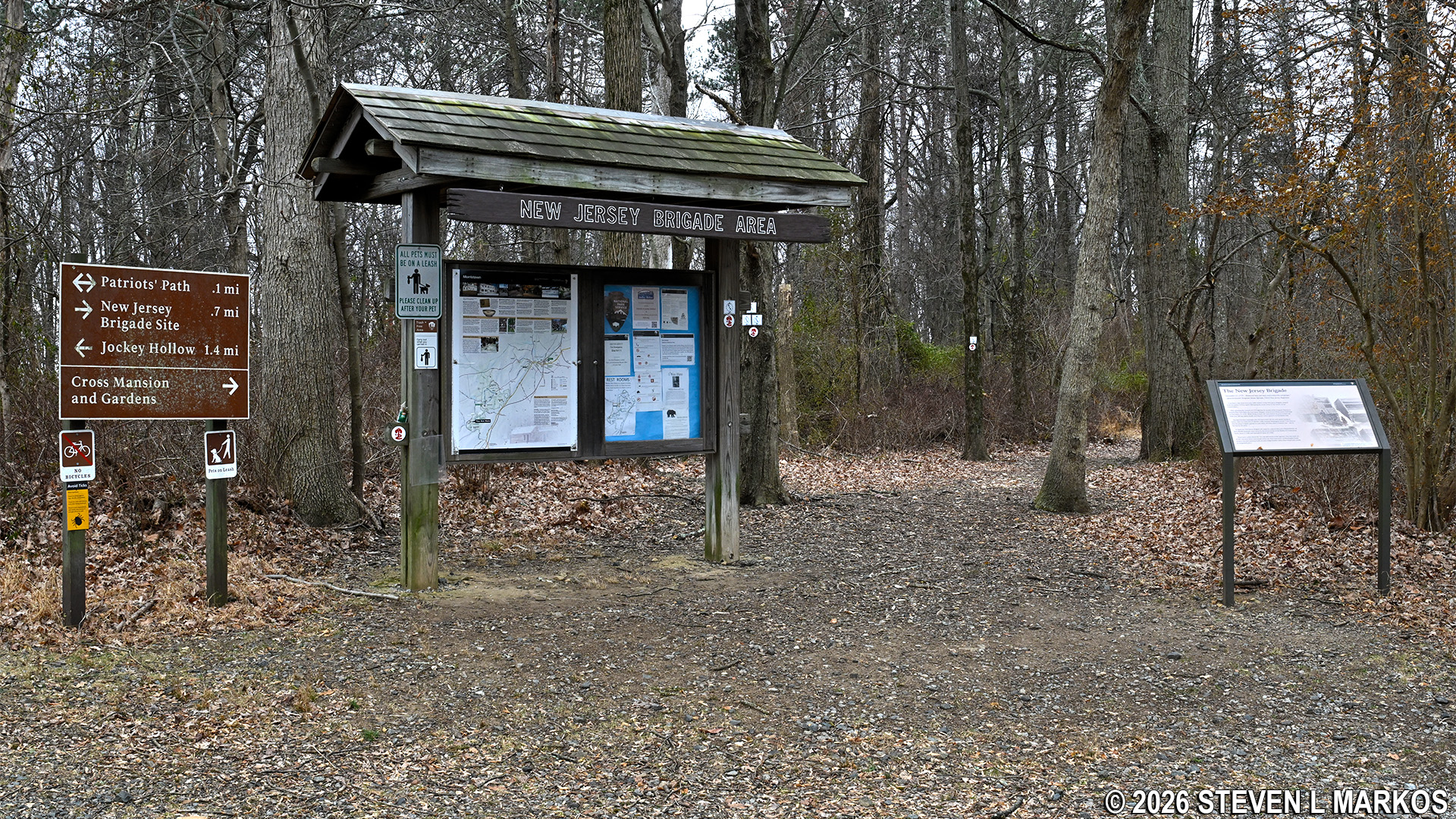
Start of the hike from Cross Estate Gardens to the New Jersey Brigade Encampment site in Morristown National Historical Park
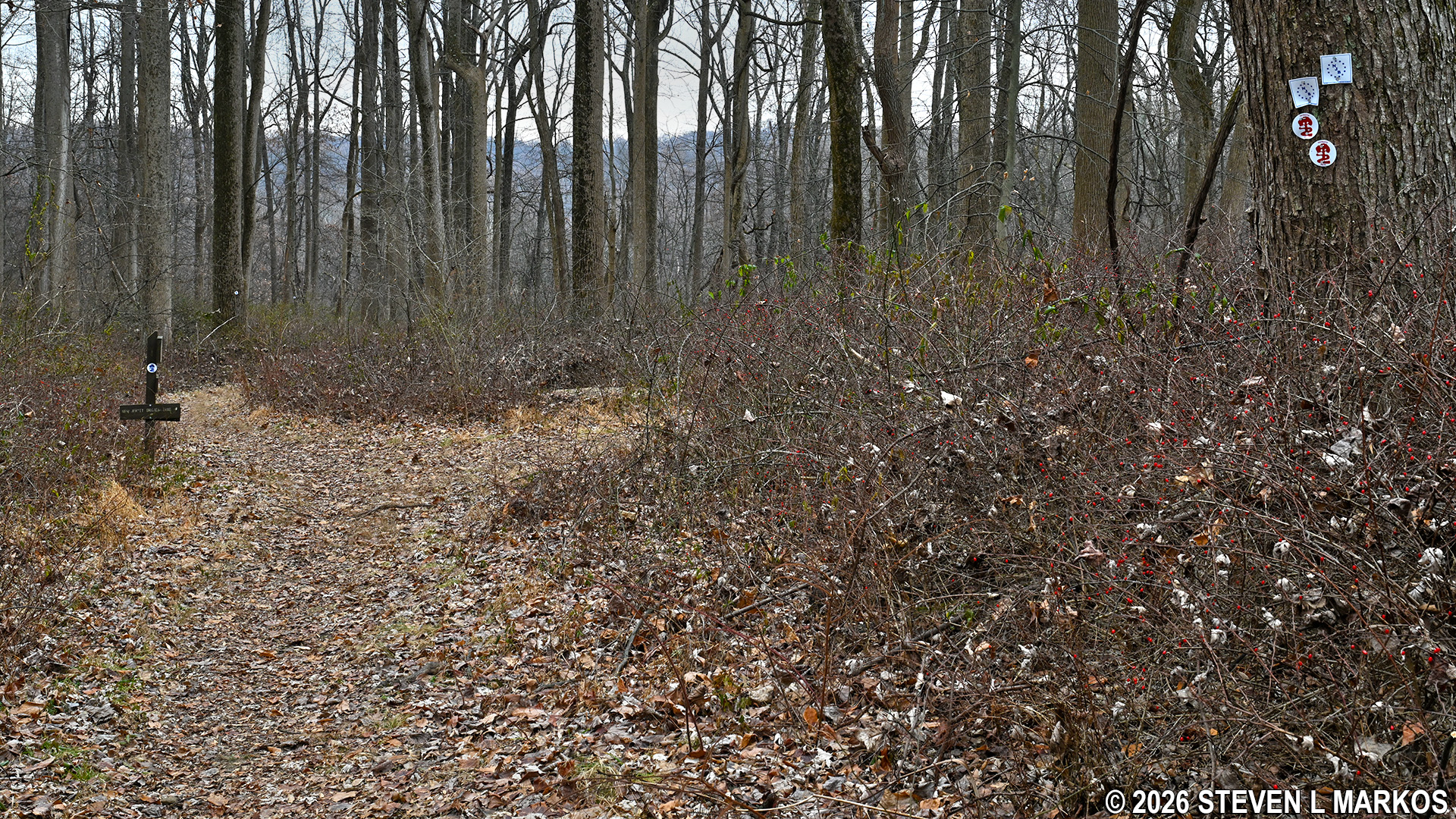
The trail is blazed (marked) with both Patriots Path and New Jersey Brigade tags attached to the trees. Follow these like Hansel and Gretel bread crumbs to stay on the correct route.
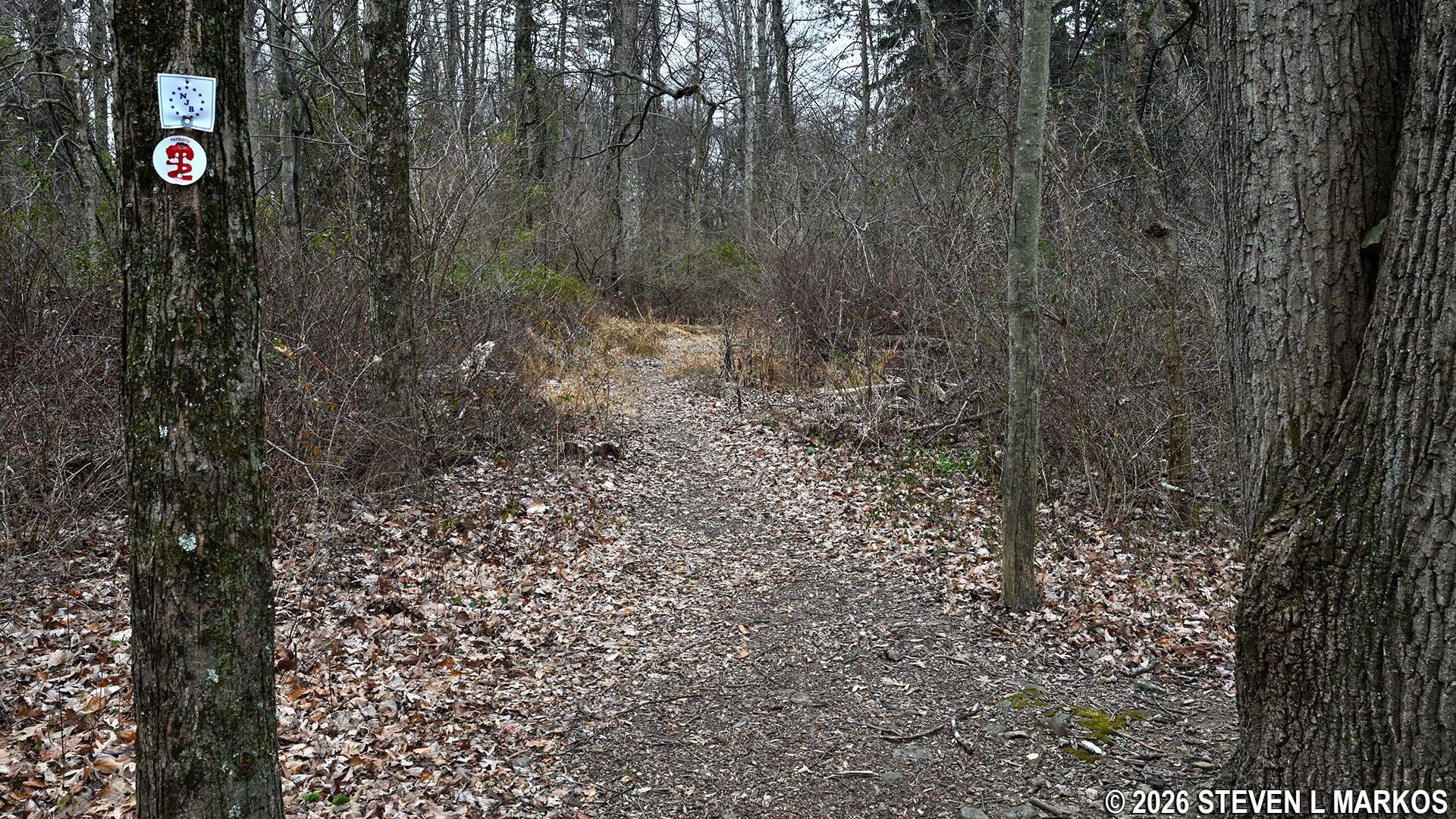
Patriots Path and New Jersey Brigade tags mark the route of the New Jersey Brigade Trail, Morristown National Historical Park
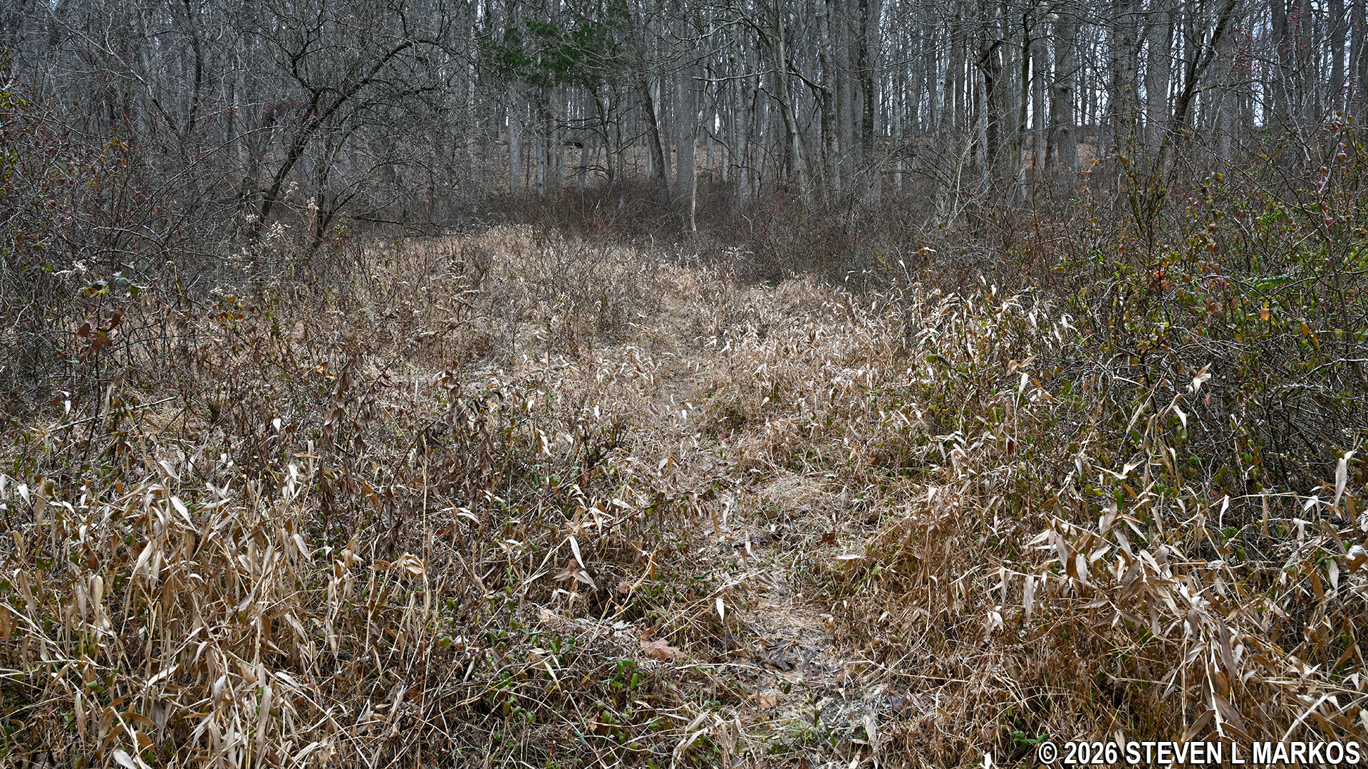
The newer photos on this page were taken in December when the vegetation had died off, but I also did this hike in the summer (older photos), and when walking on some of the narrower sections of the trail, it is impossible not to brush up against the vegetation. Ticks love this sort of terrain, so be sure to check yourself every few minutes (I picked up one tick near the campsite). Ticks live close to the ground so they can attach to anything that walks by, even small animals like squirrels and rabbits, so keep an eye out for them on the fronts of your lower legs. Once attached, they instinctively start crawling upwards. If they can get to your crotch, that’s their game plan, otherwise they’ll continue up to your armpits or hair. I suggest wearing long pants when hiking, regardless of the weather. Long pants also protect you from poison ivy and briers.
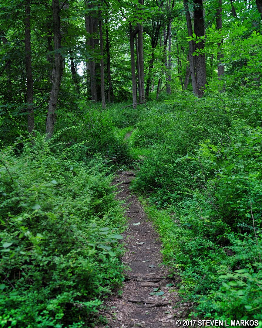
Typical terrain during the summer on the Patriots Path near the Cross Estate at Morristown National Historical Park
The connector trail heads downhill and dead ends at a T-intersection where a sign directs hikers to the left to get to the Patriots Path / New Jersey Brigade Trail. Keep in mind that even when you make the turn that you are still on the connector.
First intersection on the connector trail from the Cross Estate Gardens parking lot to the Patriots Path, Morristown National Historical Park
The trail forks about a hundred yards past the turn. Notice that blazes on a tree at the fork have two Patriots Path tags that stair step to the left and two New Jersey Brigade Trail tags that stair step to the right. These indicate turns, but since the two trails supposedly follow the same path, it is somewhat perplexing as to why the Patriots Path veers to the left and the New Jersey Brigade Trail to the right. The reason is that the hike to this point has been on the connector trail, and this is the intersection of the connector and the Patriots Path, which in reality goes in both directions. A left is the Patriots Path heading northeast towards the Jockey Hollow Visitor Center. A right is the Patriots Path heading southwest towards the Audubon Society’s Wildlife Sanctuary and the camp of the New Jersey Brigade. Thus, when you turn right to get to the camp, you are still on the Patriots Path, only the National Park Service calls this segment the New Jersey Brigade Trail.
Intersection of the connector trail from the Cross Estate Gardens and the Patriots Path, Morristown National Historical Park
Not long after taking a right on the New Jersey Brigade Trail, there is another intersection. The trail to the right leads back to a parking lot at Cross Estate Gardens. A sign is at this intersection directs hikers to keep straight ahead / left to get to the campsite.
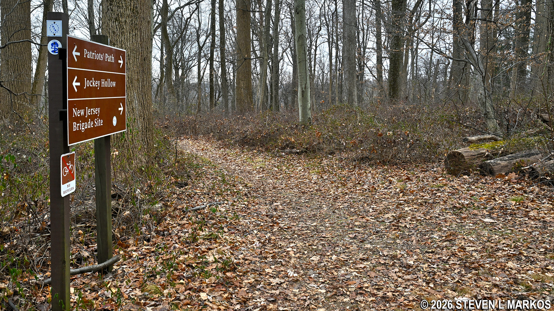
Intersection of the Patriots Path and trail to the Cross Estate Gardens, Morristown National Historical Park
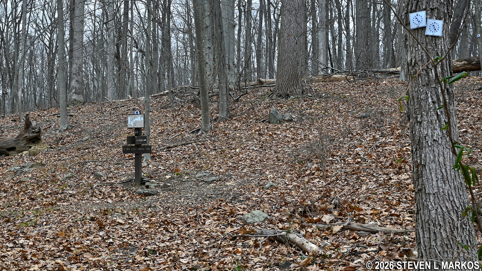
At this point the trail heads downhill rather steeply. At the bottom, .1 mile ahead, is another T-intersection. A sign indicates that the Wildlife Sanctuary is to the left and the New Jersey Brigade Trail is to the right.
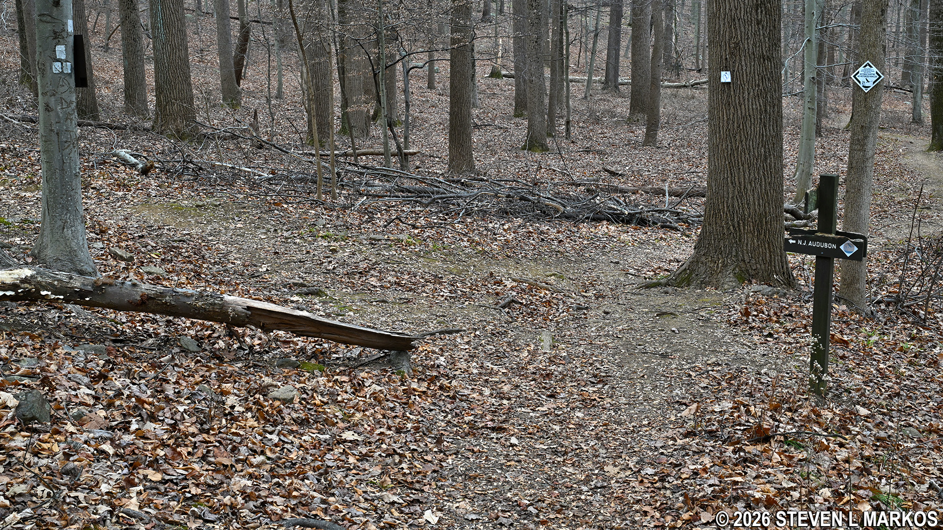
Intersection of the New Jersey Brigade Trail / Patriots Path and trail to the New Jersey Audubon Wildlife Sanctuary, Morristown National Historical Park
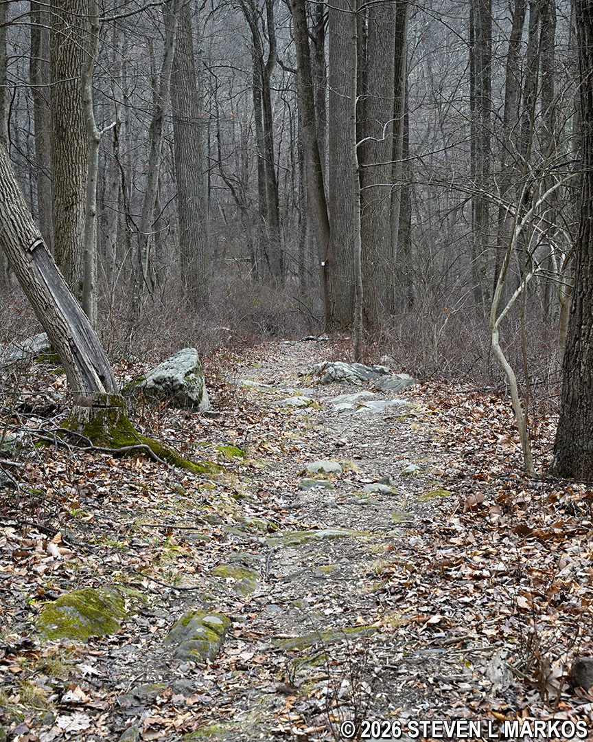
From this point it is downhill all the way to the campsite (and of course uphill on the way back), though at this point the descent is gradual and not that difficult.
Typical terrain of the New Jersey Brigade Trail / Patriots Path, Morristown National Historical Park
The last leg of the hike to the New Jersey Brigade encampment site comes .4 miles from the start, and it is here that the bottom drops out of the trail. You must now hike down what appears to be a small mountain. Fortunately, it only takes 30 seconds to get to the bottom. I hiked every trail in Morristown National Historical Park, and this is without a doubt one of the steepest hills in the park.

Steep hill on the Patriots Path near the New Jersey Brigade Encampment Site, Morristown National Historical Park
At the bottom of the hill is a fork in the trail that marks the start of a small loop around the New Jersey Brigade Encampment site (it is actually shaped like a backwards P). Two New Jersey Brigade Trail tags are pinned side by side on a tree at the fork. This is not a standard blaze configuration that I know of, but I assume it means the trail proceeds in either direction. To the left, wayside exhibits can be seen, and this is where the remnants of a few hearths from the soldier huts are located (this is also the route of the Patriots Path). I decided to take a right and loop back to this point, but if you just came for the artifacts, take a left to see them, then turn around and head back to the parking lot at Cross Estate Gardens. There is nothing to see on the rest of the loop.
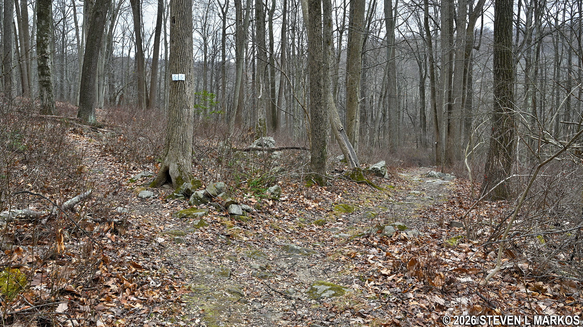
Start of the loop portion of the New Jersey Brigade Trail in Morristown National Historical Park
For those wanting a little more exercise, stay to the right at the fork. The trail continues downhill, and its surface is much rockier than on any previous sections. At this point the trail is very near to Hardscrabble Road, so you may hear cars driving by.
Rocky terrain on the lower end of the loop around the New Jersey Brigade Encampment in Morristown National Historical Park
After a tenth of mile, there is a tree with two New Jersey Brigade Trail tags that stair step to the left, and just beyond it is a directional sign with a trail map on it. Turn left here to loop around through the encampment site. A right leads out to Hardscrabble Road.
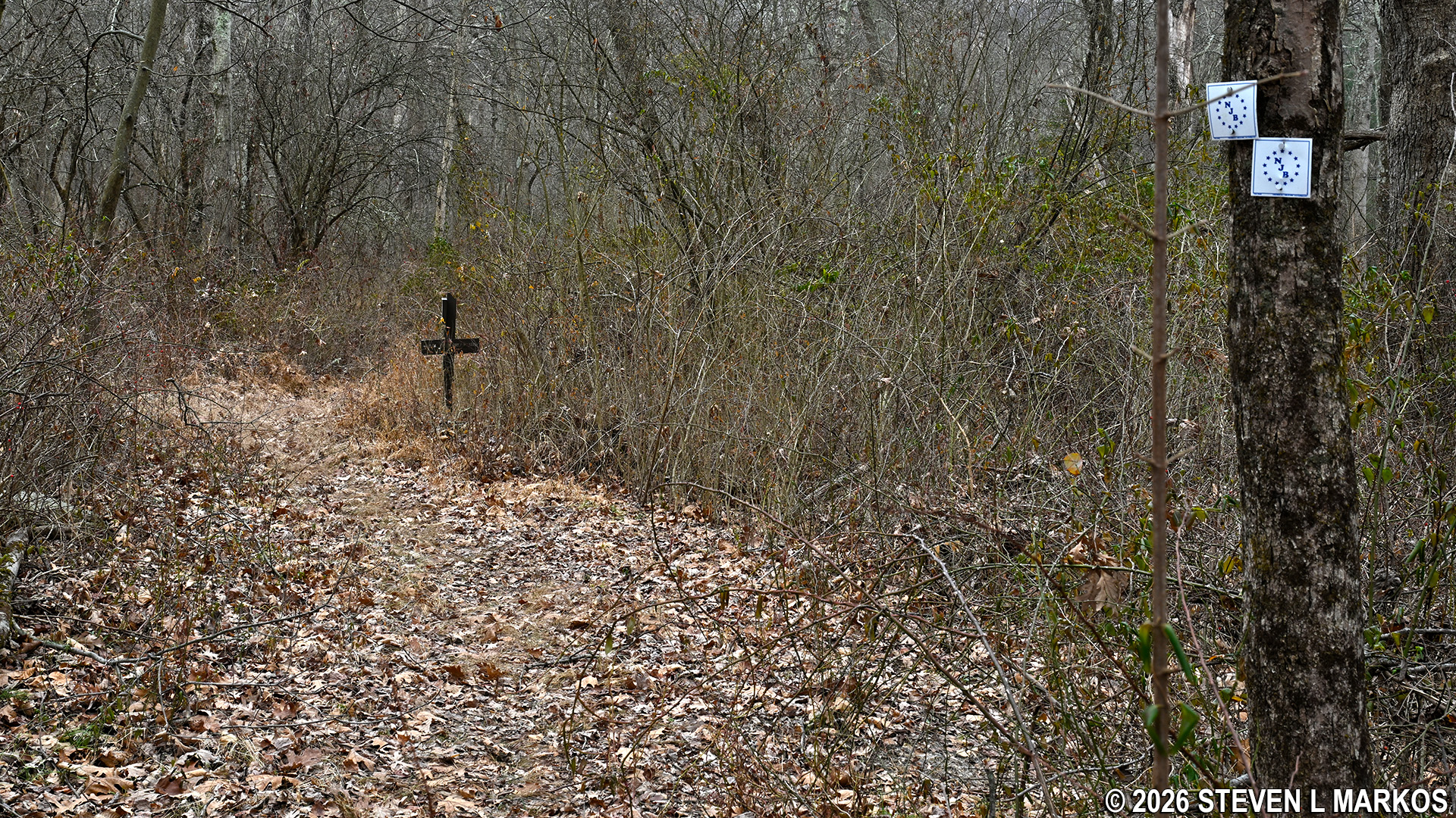
Far end of the loop around the New Jersey Brigade Encampment Site in Morristown National Historical Park
The trail now heads uphill towards the encampment site, and even in the winter a short section was overgrown with grass and some briers. This is a good indication that not many people hike this segment of the New Jersey Brigade Trail. Most people hiking this far are following the Patriots Path, and they would have turned left at the start of the loop.
Overgrown section of the loop portion of the New Jersey Brigade Trail in Morristown National Historical Park
At the top of the hill—.7 miles into the hike—is another intersection marked with a sign and a tree with two New Jersey Brigade Trail tags that stair step to the left. The trail now follows a ridge that runs along the side of a hill. It is on slopes like this that the New Jersey Brigade built its encampment for the winter of 1779-80. After a debacle at Valley Forge in the winter of 1777-78, when soldiers built their cabins haphazardly at the bottom of a valley and suffered in a wet environment whenever rain or snowmelt flowed down the hill and settled around them, soldiers learned to build their huts on the sides and tops of hills and to lay them out in a uniformed grid system.
Turn on loop portion of the New Jersey Brigade Trail that leads to the encampment ruins, Morristown National Historical Park
Once making a left, you will be back on the official Patriots Path. Notice that this section is not overgrown due to seeing more foot traffic. It is also on this section where the previously seen wayside exhibits and the remnants of the encampment site are located.

New Jersey Brigade Trail runs along a ridge and through the brigade’s encampment site, Morristown National Historical Park
A short ways down the trail is a small side loop that leads through the area where the remnants of the camp are located. The wayside exhibits look old enough to have been put up by the New Jersey Brigade itself, and logs and small rocks have been placed on either side of the trail to mark off the route.
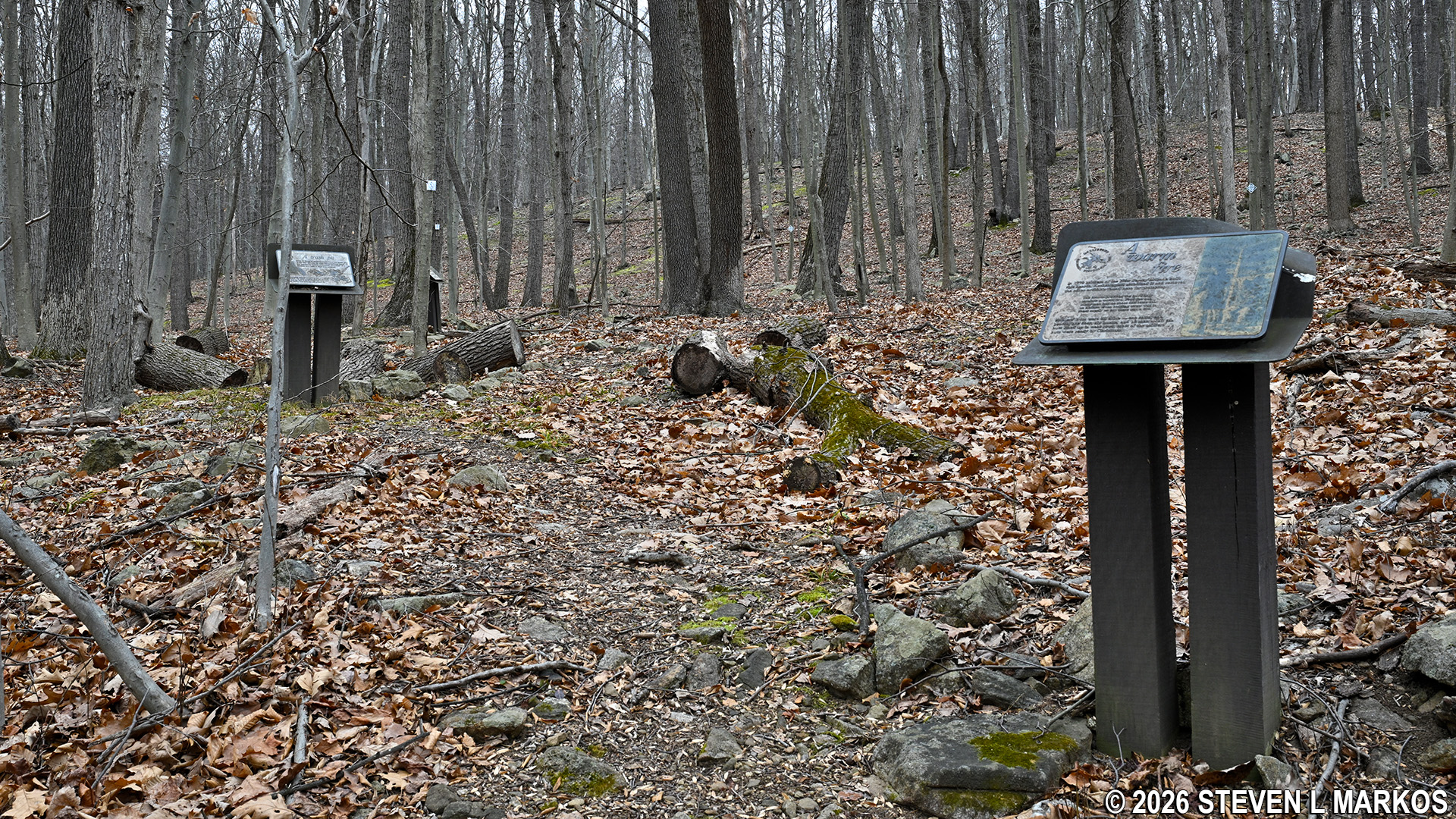
Loop around the hearth and trash pit remnants at the New Jersey Brigade Encampment Site at Morristown National Historical Park
One remnant of the camp is a trash pit that archeologists excavated a long time ago. Nothing remains other than a small depression in the earth. A second wayside points out what remains of a few hearths that were once part of wooden soldier huts. For being historical artifacts, they aren’t well preserved or protected. Anyone could cart off these hearthstones for souvenirs. You can see in the first two photos below, which were taken about ten years apart, that at least one stone has gone missing.

2017 photo of the remains of a hearth built by the soldiers of the New Jersey Brigade, Morristown National Historical Park
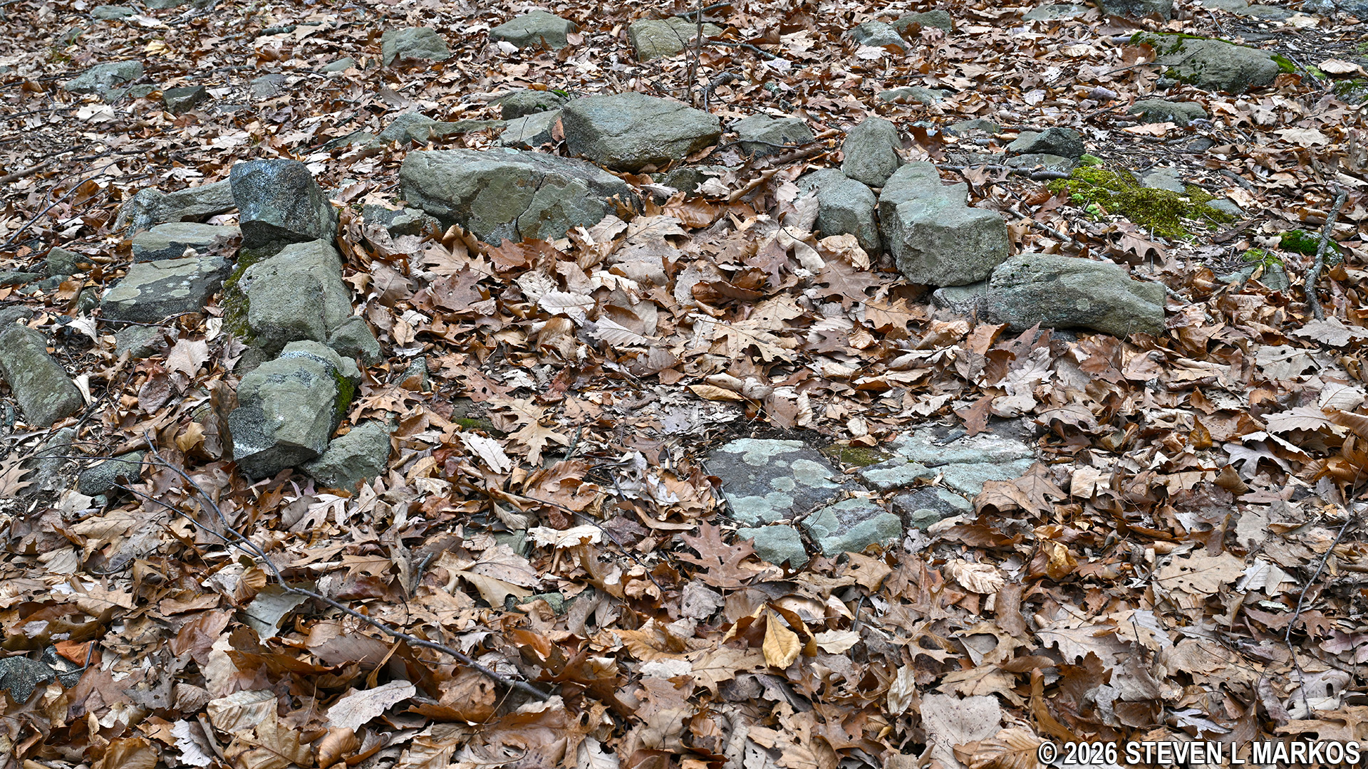
2026 photo of the remains of a hearth built by the soldiers of the New Jersey Brigade, Morristown National Historical Park

Remains of a hearth built by the soldiers of the New Jersey Brigade, Morristown National Historical Park
When done at the hearths, return back to the main trail and take a right. Just up ahead is where the loop begins. From here, all you have to do is retrace your steps back to the parking area, but surprisingly, that is easier said than done. There is one intersection that was quite obvious on the way to the camp but much more inconspicuous on the way back, so it is easy to miss. If you do, you will just end up at Cross Estate Gardens. If you were planning to stop there anyway, everything works out fine. If not, just follow the road from the house back to the parking lot. In truth, this is actually a little shorter than the original route.
Back at the start of the loop portion of the New Jersey Brigade Trail at Morristown National Historical Park
If you don’t mind hiking, I highly recommend a visit to the New Jersey camp. What I thought was going to be an empty field turned out to be the neatest place in Morristown National Historical Park. The only other camp that has any exhibits is the Pennsylvania Line Encampment Site where some replica cabins have been built. However, that site gets a lot of visitors since it has its own parking lot and minimal hiking is required to see it. Very few people hike to the New Jersey Brigade campsite, so it feels as if you stumbled upon the ruins for the first time.
With a few exceptions, use of any photograph on the National Park Planner website requires a paid Royalty Free Editorial Use License or Commercial Use License. See the Photo Usage page for details.
Last updated on July 15, 2026


