

Visitors at the summit of Cadillac Mountain in Acadia National Park
I climbed to the top of fourteen mountain summits on Acadia National Park’s Mount Desert Island, but Cadillac Mountain was not one of them. While there are trails that take hikers to the top from all four sides, I opted to take the easy way up—I drove. Yes, there is a winding road to the top of Cadillac Mountain, the only mountain in the park that the public is authorized to reach by vehicle. The road branches off the Park Loop Road on its northwestern side where two-way traffic is permitted, so you don’t have to drive all the way around the loop to get there. It is closed from December to mid-April and whenever weather conditions make the drive hazardous (fog, snow, ice).
As you can imagine, reaching the top of a mountain without making any effort is a typical tourist’s dream come true. In the past, the road could be so overcrowded that the National Park Service had to close it until cars exited from the top, particularly at sunrise and sunset. To remedy the situation, anyone now wishing to make the drive to the top of Cadillac Mountain between mid-May and late October must obtain a timed entrance pass. A fee is involved—$6 at the time of this writing. Passes are only issued online at Recreation.gov. You cannot buy one at the park. The free Island Explorer Shuttle Bus does not stop at Cadillac Mountain, so purchasing a pass is your only option. Keep in mind that you also need an Acadia National Park entrance pass.

View towards the summit of Cadillac Mountain, Acadia National Park
The original vehicular ascent to the top of Cadillac Mountain was an incline railroad that was built in the late 1800s. After ten years it was replaced by a steep carriage road, and it this route that was eventually paved for automobile traffic in the 1920s. Cadillac Mountain was chosen for such development because it is the tallest mountain on Mount Desert Island at 1,530 feet above sea level. In fact, it is the tallest mountain on the eastern coast of the United States, which sounds like something to be proud of until you realize that there aren’t many mountains on the eastern coast of the United States other than on Mount Desert Island.

Summit of Cadillac Mountain in Acadia National Park
At the top of the mountain is a modern restroom, a gift shop the size of two toll booths, and a parking area that holds about 100 vehicles. If the lot is full, there is another one a half mile from the top that holds another 40 vehicles. You need an Acadia National Park entrance pass to park anywhere on federal property, so be sure you purchase one before heading up the mountian. Park Rangers are all over the place at the summit and will issue parking tickets.
While Cadillac Mountain Road is advertised as the road to the summit, you actually have to do a little walking from the parking lot on a .4-mile paved trail. A sign claims the trail is easy, but this is misleading for those with mobility problems. The walk from the parking lot is fairly steep, and there are some sections of the trail that I’d rate as moderate in difficulty if they weren’t so short. There are also a few steps to climb, so those in wheelchairs will definitely need help.
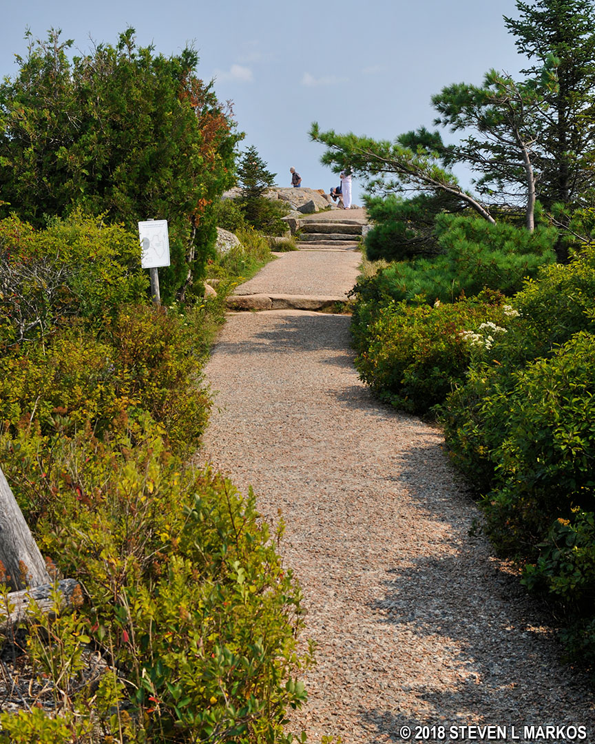
Path from the Cadillac Mountain parking lot to the summit, Acadia National Park
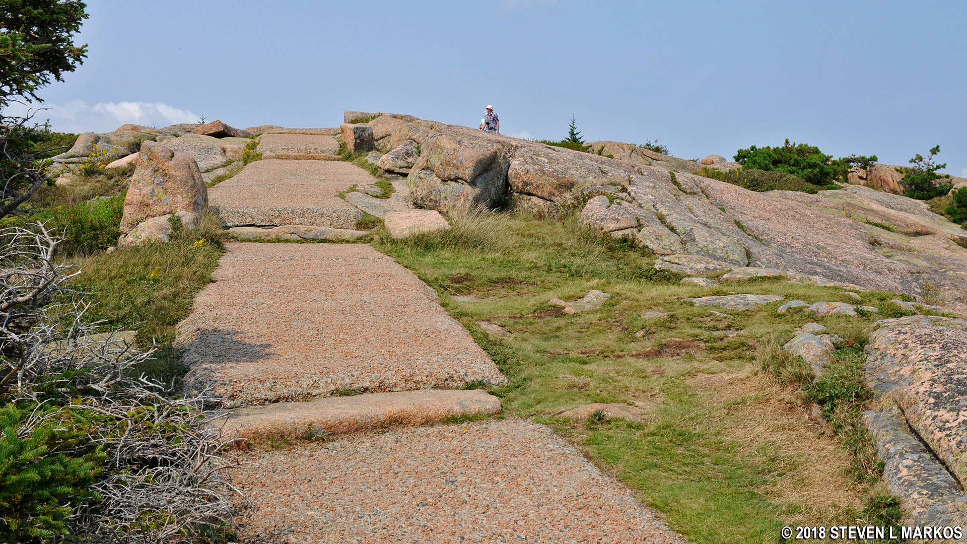
Steep terrain on the Cadillac Mountain summit walking path, Acadia National Park
When I visited Cadillac Mountain, the haze was terrible. Believe it or not, this is not fog, but air pollution known a regional haze. It may not have been produced on Mount Desert Island, or even Maine for that matter, but it drifts in from other areas of heavy pollution such as New York. I was at the park for two weeks, and for the first few days it was foggy and I couldn’t see a thing until it rained. After that, the air was crystal clear, but within a few days the haze had formed and pretty much ruined photography for the duration of my trip. Pollution is a serious problem at Acadia National Park, and it has been known to cause outfitters to cancel hikes and other tours due to poor visibility.
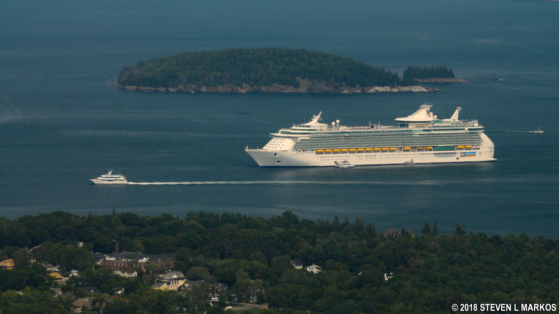
Haze hinders a clear view of Bar Harbor

Hazy day at the top of Cadillac Mountain in Acadia National Park
Not all of the views of the surrounding area can be seen from the top of Cadillac Mountain. There are a number of pullouts along the road that offer views of the rivers and Eagle Lake, which you cannot see from the top. These are worth stopping at, but don’t bother with the pullouts that have ocean views because the best ocean views are at the summit. Most of the pullouts are on the return side of the road, so it is best to stop at them on the way down.
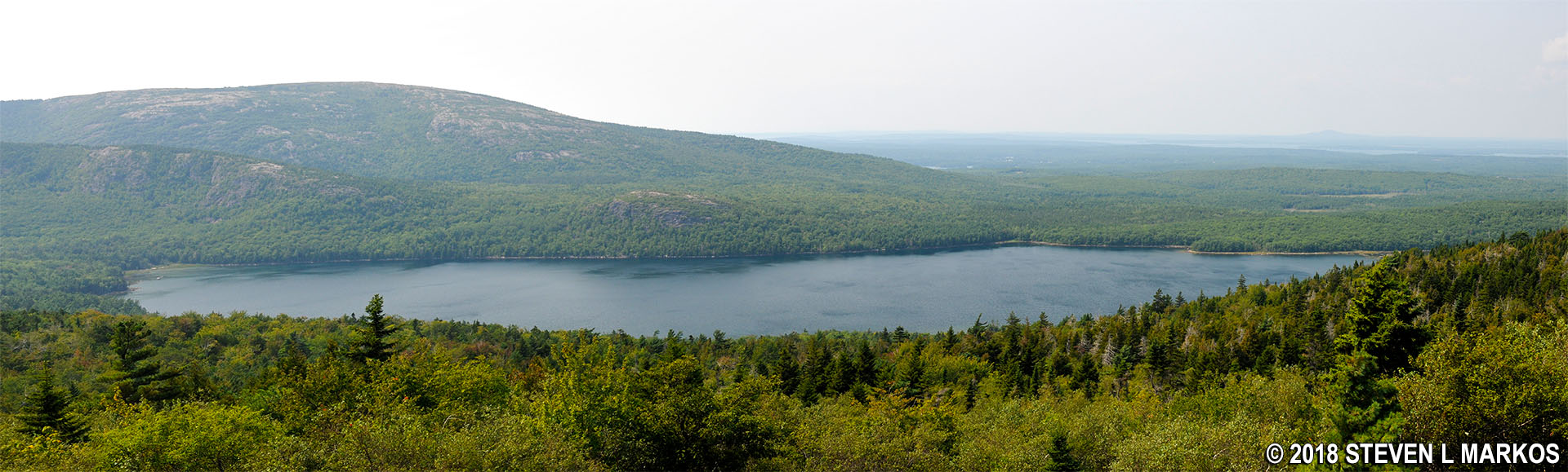
Panoramic view of Eagle Lake in Acadia National Park (click to enlarge)
With a few exceptions, use of any photograph on the National Park Planner website requires a paid Royalty Free Editorial Use License or Commercial Use License. See the Photo Usage page for details.
Last updated on August 11, 2023


