

Western Head Trail map (click to enlarge)
I hiked the Western Head Trail as part of a 4.6-mile loop around the southern end of Isle au Haut (part of Acadia National Park) that also uses the Cliff, Goat, and Duck Harbor Mountain trails. See the Hiking on Isle au Haut web page here on National Park Planner for more information about his hike.
Length: 2.1 mile, one way (from the Duck Harbor boat dock)
Time: 2 hours
Difficulty: Moderate
All hikes for day trippers to Isle au Haut begin at the Duck Harbor boat dock. Follow the sign to the Trails / Restrooms. A raggedy path leads down to a second intersection at Western Head Road. Continue hiking in the direction of the Western Head / Cliff Trail per the sign at the intersection.

Intersection with Western Head Road near the Duck Harbor boat dock on Acadia National Park’s Isle au Haut
The hike starts out on the Western Head Road, which at this end of the island is a gravel road that park Rangers use to travel to the southeastern coast of the island. This is not to be confused with the hiking trail of the similar name, the Western Head Trail.
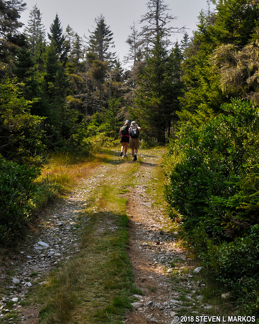
Western Head Road on Acadia National Park’s Isle au Haut
In a quarter mile is the western trailhead for the Duck Harbor Mountain Trail. For safety reasons, the park Rangers recommend hiking this trail from the east side so that the ascent is made on the steep face of the mountain and the descent is on the easier side (just imagine tripping while walking up a staircase versus walking down one). Therefore, keep on the gravel road for another quarter mile until reaching the Western Head Trail. This is where the hike departs from the road and the loop begins.
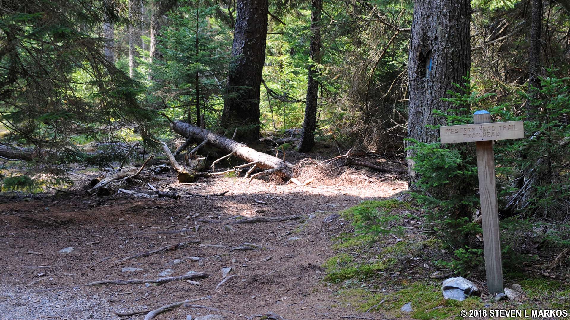
Start of the Western Head Trail at Isle au Haut, Acadia National Park
The first half mile of the trail cuts through the forest on rocky and rooty terrain, though for the most part it is fairly level. The route is marked with blue blazes—paint splotches on trees and rocks that serve as Hansel and Gretel breadcrumbs—though most of the time it is pretty clear as to which way to go. Other than having to watch your every step so that you don’t twist an ankle, this section of the trail is an easy hike.
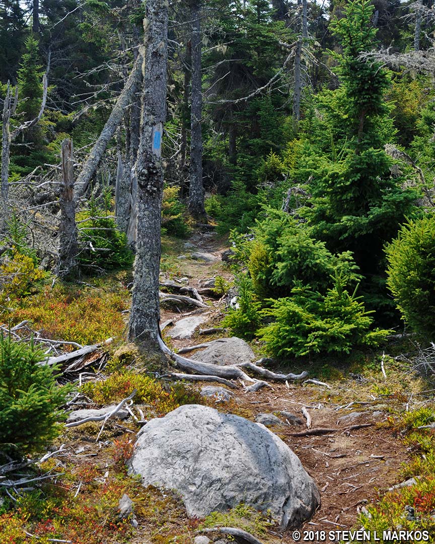
Typical terrain at the start of the Western Head Trail on Isle au Haut, Acadia National Park
Just a little over a mile into the hike is the first glimpse of the ocean and the rocky coast of Isle au Haut. Off to the left is a small cobblestone beach, one of the spots where you are sure to run into all of the other day trippers who are making the same hike.

Southern shore of Acadia National Park’s Isle au Haut

Cobblestone beach on the southwest coast of Isle au Haut in Acadia National Park
You’ll be tempted to make your way down to the beach by climbing over the rocks, but if you just keep hiking, the trail winds its way directly to the beach.
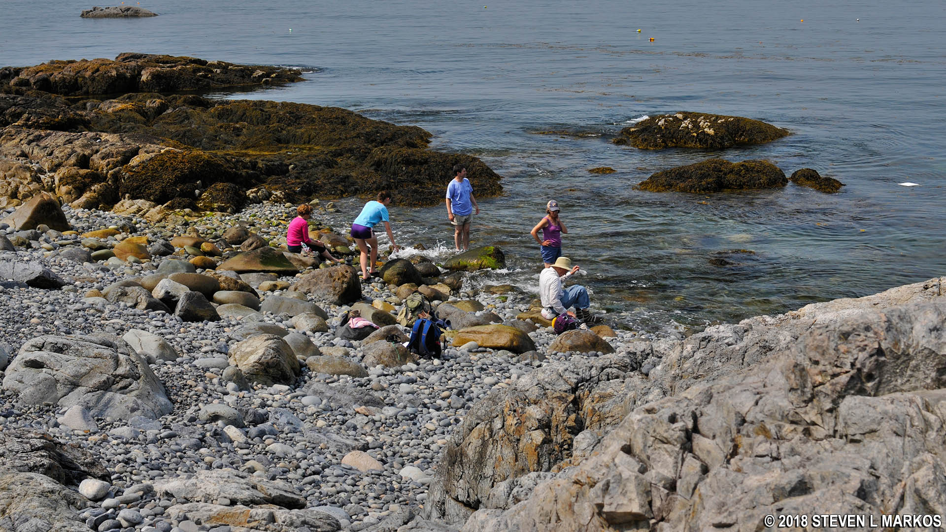
Cobblestone beach on the southwest coast of Isle au Haut in Acadia National Park
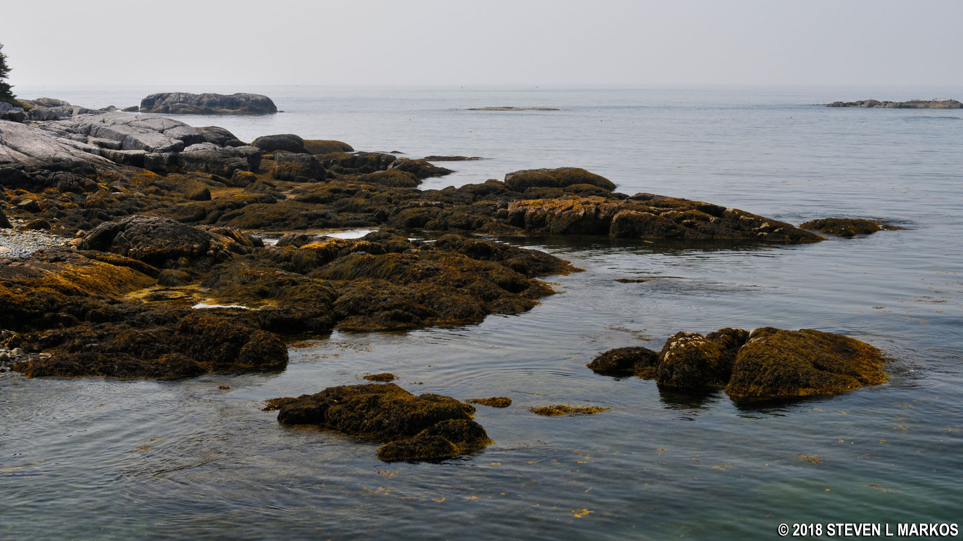
Seaweed covered rocks on the southwest coast of Isle au Haut in Acadia National Park
To continue the hike, walk across the beach to the far end and look for a large, man-made pile of rocks. This is a cairn, and it marks the trail route just like the blue blazes. At this point the Western Head Trail reenters the forest on very rooty terrain.
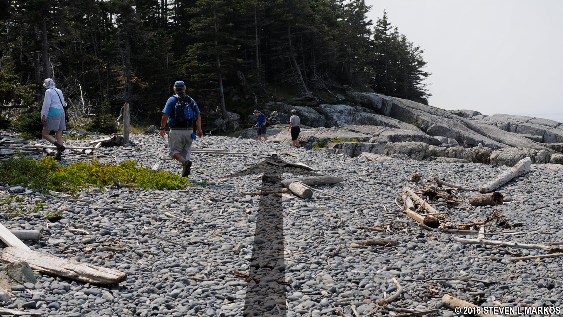
Cairn marks where Isle au Haut’s Western Head Trail reenters the forest, Acadia National Park
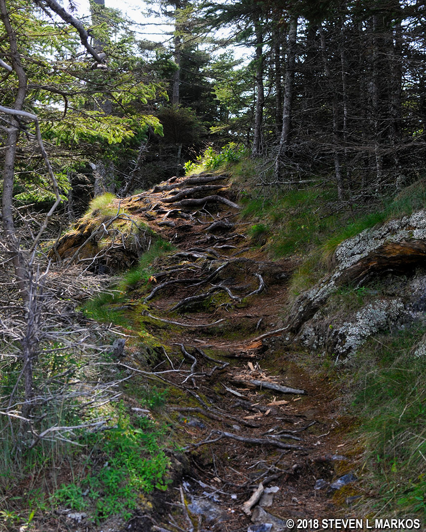
Rough terrain on Isle au Haut’s Western Head Trail in Acadia National Park
Just around the corner is another cobblestone beach. If the hike up to this point has been pushing your limits, it’s going to get a little harder from here on out, and what you’ll see is often more of the same. Thus, you might want to consider turning back now.

Second beach on the Western Head Trail on Isle au Haut, Acadia National Park
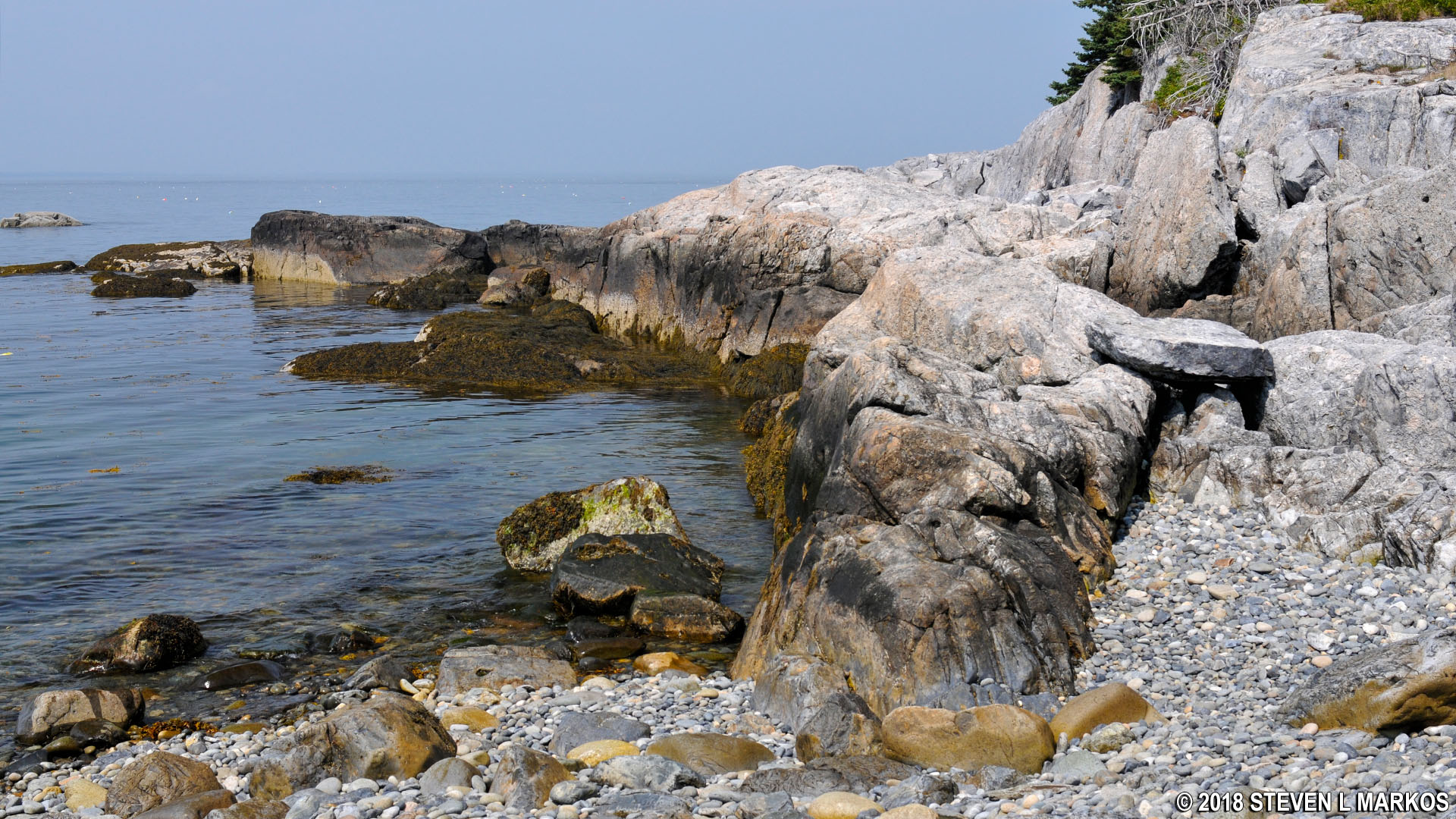
Rocks rim the cove at the second beach on the Isle au Haut’s Western Head Trail, Acadia National Park
As before, cross the beach to continue the hike and be on the lookout for a blue blaze on the rocks. After climbing to the top of the boulders you should see another cairn.
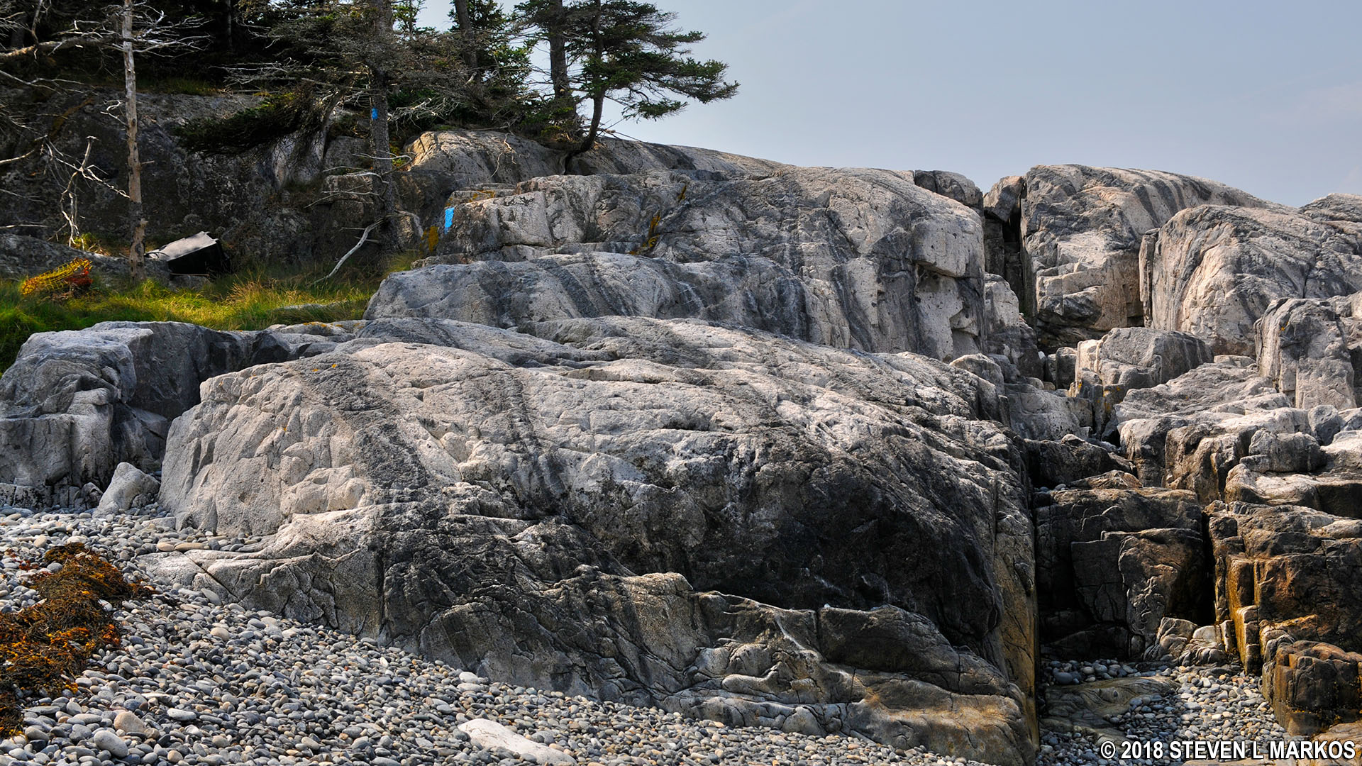
Large rocks are part of the Western Head Trail when near the shore of Isle au Haut in Acadia National Park

Cairn marks the route across the rocks on Isle au Haut’s Western Head Trail in Acadia National Park
The Western Head Trail continues to dart in and out of the woods, stopping at four more beaches before coming to the intersection with the Cliff Trail at the southern tip of the island. In each instance, after walking across the beach it appears as if the trail continues right along the shore. This is never the case, so be sure to scan the forest and rocks for blue blazes and cairns, otherwise you may end up walking down the coast and won’t even be on the trail. The Western Head Trail always ends up back in the forest after crossing a cobblestone beach.
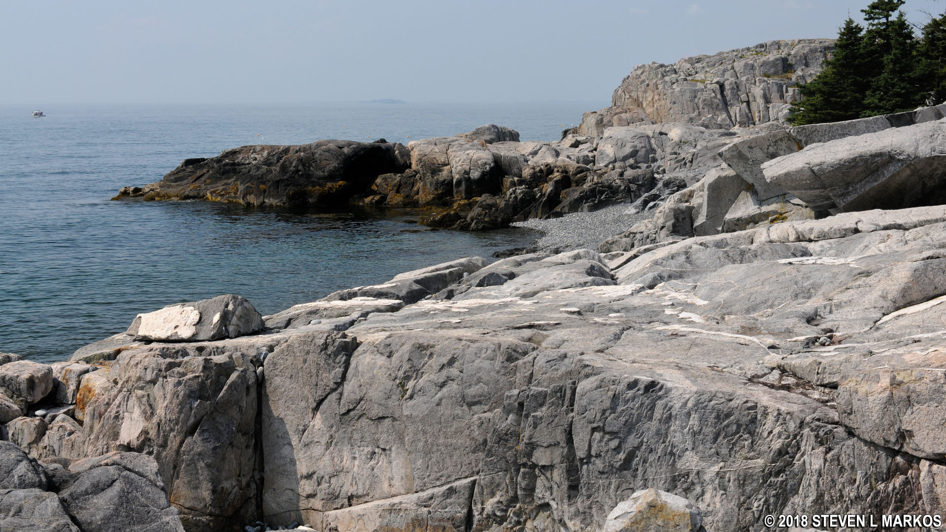
Western Head Trail on Isle au Haut appears to head across this rocky section of the shore, Acadia National Park

Follow the blue blazes to stay on Isle au Haut’s Western Head Trail, Acadia National Park
A mile and a half into the hike, the Western Head Trail works its way up to a ridge above the ocean and no longer makes stops at various beaches. However, the trail terrain remains as before—lots of rocks and roots. Most of the time the trees block the view, but there are a few instances where you can see the ocean and rocky shore below.
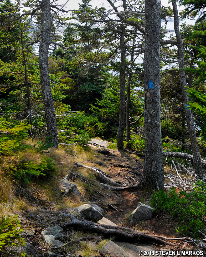
Terrain along a ridge at the southern end of the Western Head Trail on Isle au Haut, Acadia National Park
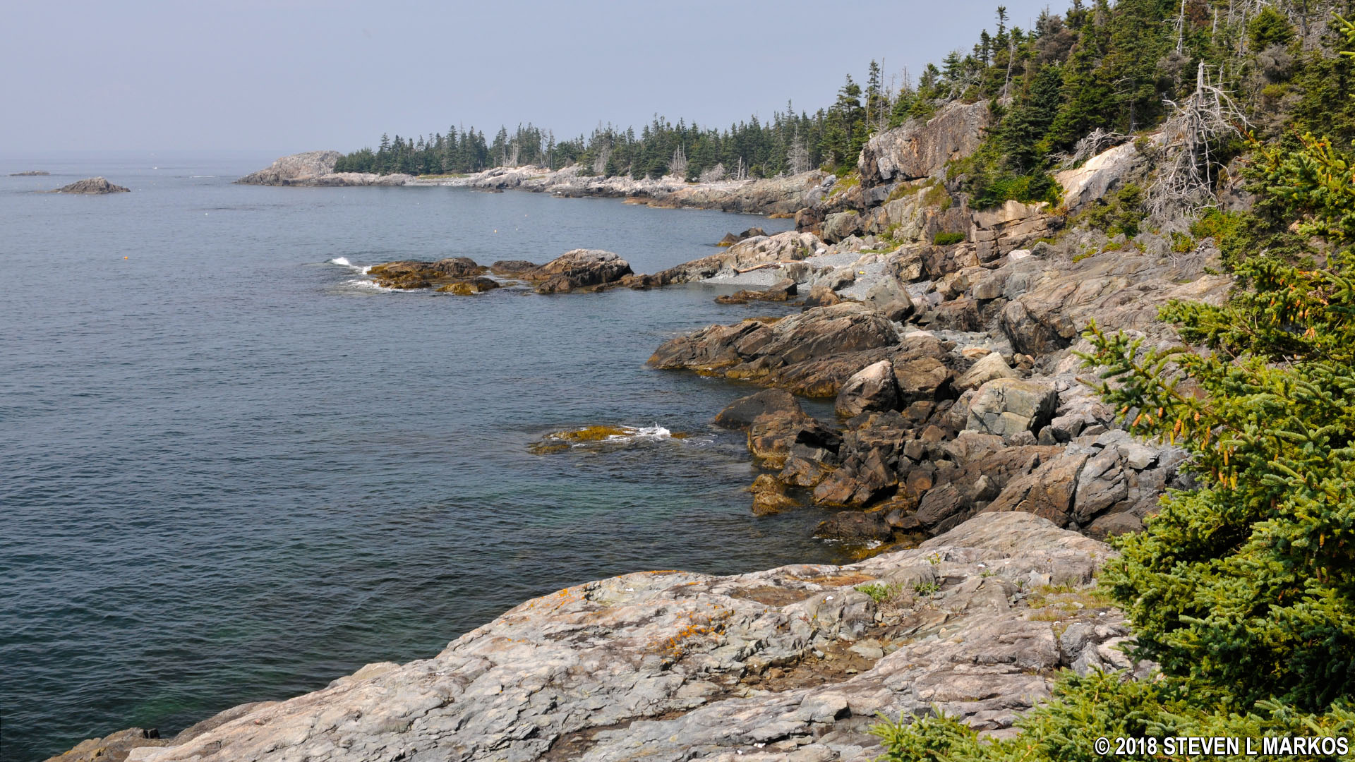
View from a ridge at the southern end of the Western Head Trail of the Isle au Haut shoreline, Acadia National Park
Just before coming to the intersection with the Cliff Trail, the Western Head Trail descends back down to a cove along the shore. In the distance is what appears to be some sort of point, but this is actually Western Ear, a separate island. A small channel separates it from Isle au Haut, and you can walk to it at low tide.
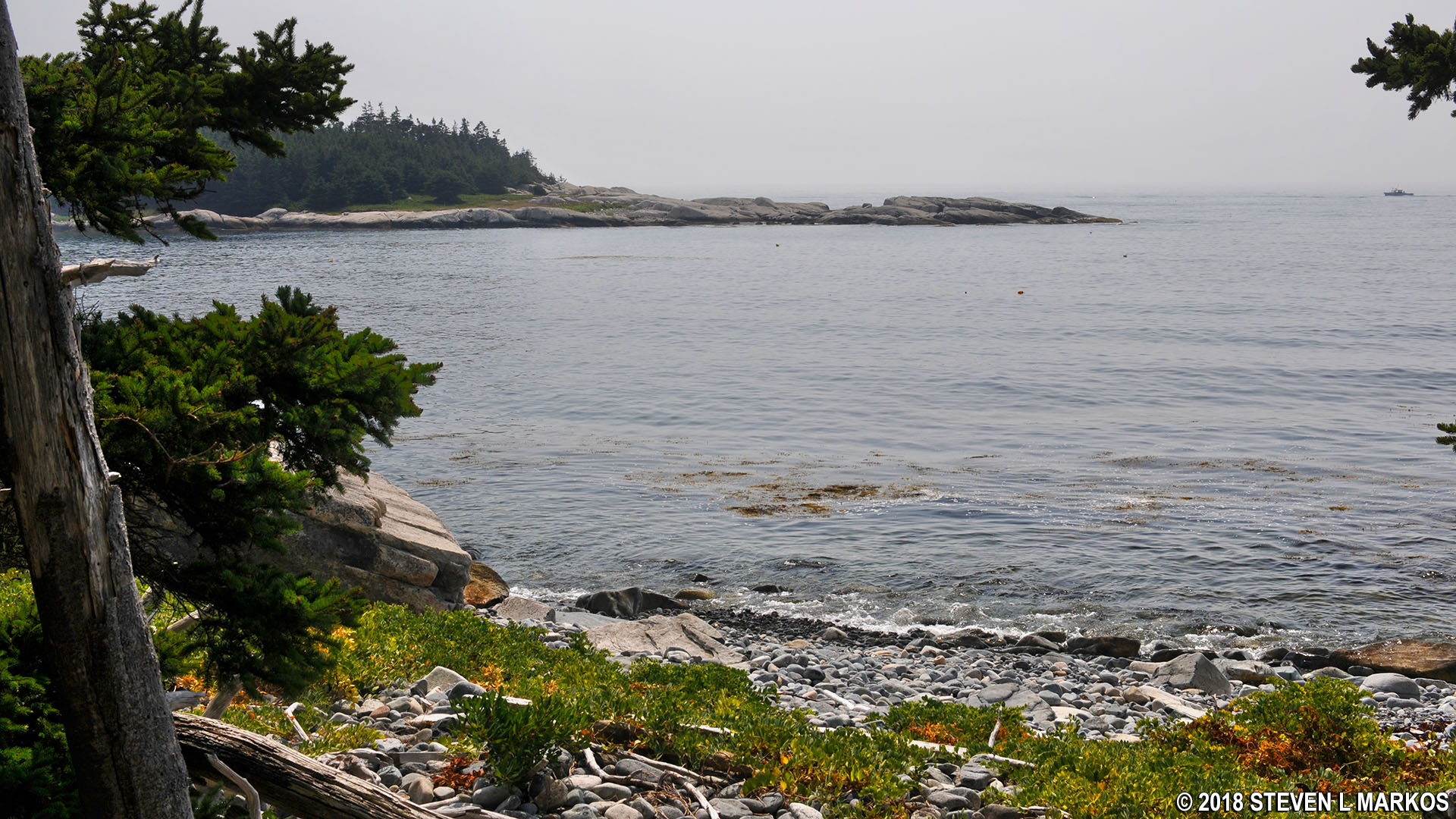
View of Western Ear from the Western Head Trail on Isle au Haut in Acadia National Park
The intersection with the Cliff Trail is just a few minutes farther. The hike continues to the left, but you can also take a right and walk down to the shore across from Western Ear. The detour only takes a minute, though the view is very similar to the one at the cove.
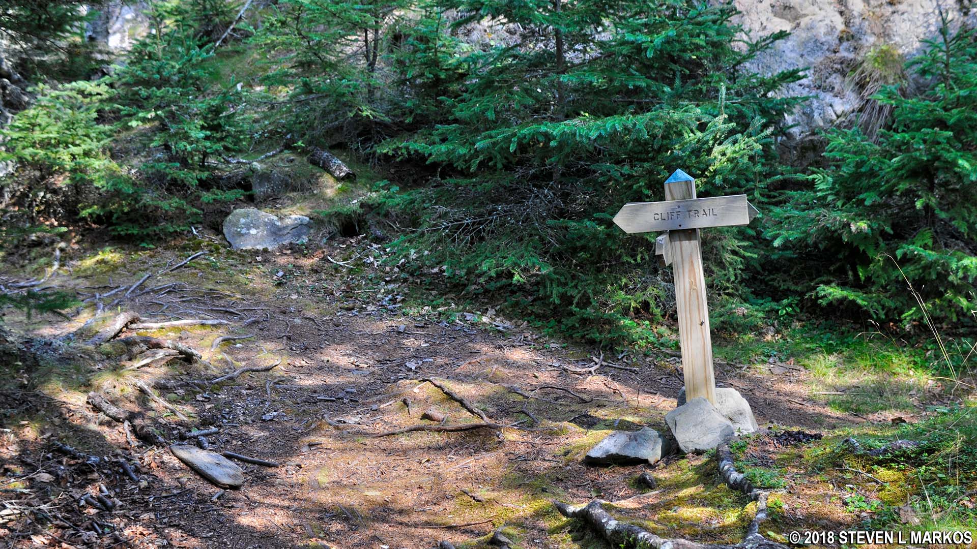
Intersection on the Western Head and Cliff trails on Isle au Haut, Acadia National Park
Thus ends the hike on the Western Head Trail. If it wasn’t for the rocks and roots, it would be possible to jog along it, that’s how easy it would be. There are a few hills, but these are no longer or steeper than a staircase or two in a typical house. It is the rugged trail surface that elevates the difficulty of this hike from easy to moderate.
See the Cliff Trail and Goat Trail web page here on National Park Planner for details on the next leg of the loop hike around the southern end of Isle au Haut.
With a few exceptions, use of any photograph on the National Park Planner website requires a paid Royalty Free Editorial Use License or Commercial Use License. See the Photo Usage page for details.
Last updated on September 3, 2023


