

Pond along the carriage roads in Acadia National Park
I took a two-hour, 13-mile bike ride on the carriage roads of Acadia National Park starting from the Hulls Cove Visitor Center at the northeast end of Mount Desert Island. The access point is at the far end of the parking lot. A loop can be formed that passes Witch Hole Pond, Upper and Lower Breakneck ponds, and completely circles Eagle Lake. You can pick up a carriage road map either at the Visitor Center or in a brochure box attached to the information sign at the start of the carriage road.
The most strenuous uphill climb on the ride starts right from the parking lot. I had to stand up and peddle to get some oomph into it and still barely made it to the top. The hill is .3 mile and ends at Intersection 1. All intersections are marked with signs and identified by a number, and these numbers are shown on the map.

Sign at Intersection 1 on the Acadia National Park carriage roads
At Intersection 1, take a right, following the signs pointing to Eagle Lake. The next intersection, Intersection 2, is just .2 mile ahead.

Acadia National Park carriage road between Intersections 1 and 2
Take a right at Intersection 2 and head towards Intersection 4. The pond you pass is Witch Hole Pond, and not too far from the turn is an opening in the trees where you can stop and get a nice view. The roads are lined with blocks of granite known as Rockefeller’s Teeth, and the flat-topped ones make good seats if you feel like taking a break.
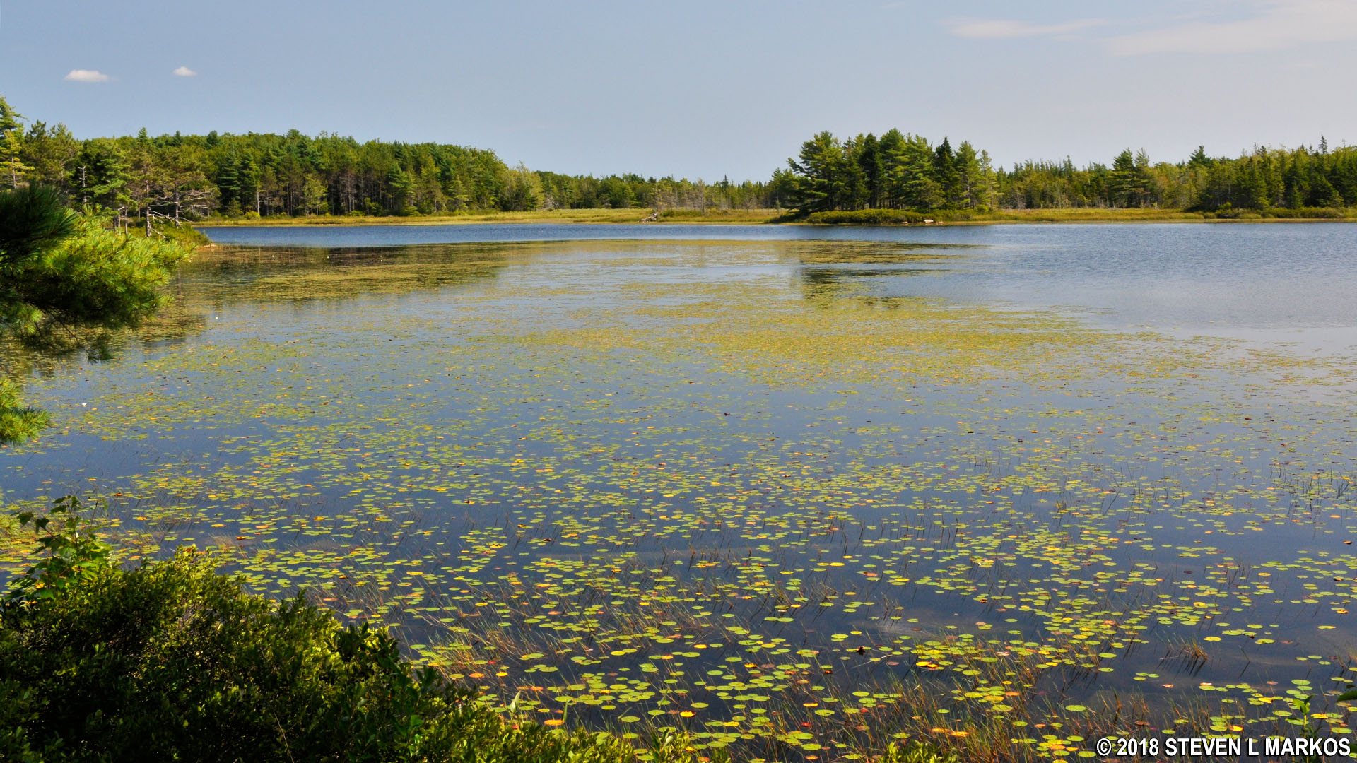
Witch Hole Pond at Acadia National Park

Rockefeller’s Teeth along the carriage roads at Acadia National Park
The terrain along Witch Hole Pond is relatively level and easy to bike, though just past the pond is an incline that lasts until Intersection 4, but it’s not too difficult. Along the way, the road passes three other small ponds, one of which is full of dead trees.

Pond between Intersections 2 and 4 of the Acadia National Park carriage roads

Pond between Intersections 2 and 4 of the Acadia National Park carriage roads
Take a right at Intersection 4 and follow the signs to Intersection 6 and Eagle Lake. This section of the ride runs along the Breakneck ponds and passes under Eagle Lake Bridge, one of only two Rockefeller Bridges built for vehicle traffic—Route 233 passes over the carriage road. The bridge was completed in 1928.

Eagle Lake Bridge at Acadia National Park
The loop around Eagle Lake begins at Intersection 6. Stay straight to reach Intersection 9, then straight again towards Intersection 8. At this point you will have traveled three miles.

Intersection 6 on the carriage roads at Acadia National Park
The road rises above the shore of Eagle Lake for the next mile, then suddenly veers away into the forest and begins climbing a hill that would barely be noticeable to hikers, but because it lasts for nearly a mile, it gets very tiresome for bikers. The reason the trail doesn’t continue along the shore is because a small mountain that nearly butts up against the lake stands in the way.
You will still be biking uphill when you reach Intersection 8 and take a right towards Intersection 7. The hill continues for another tenth of a mile, and when it finally ends you are immediately rewarded with an equally long downhill ride around the south end of Eagle Lake. Since there hadn’t been a single glimpse of the lake on the entire ride along the western shore, I decided to stop at an access point for the Eagle Lake Trail and take a short walk down to the water in order to get a few photos. The trailhead is located just before reaching Intersection 7.

Eagle Lake at Acadia National Park
The road from Intersection 7 back to Intersection 6 runs along the east side of Eagle Lake. The ride starts off up a small hill, but levels out after a half mile. There is no view of the lake until you reach the northern end.

View of Eagle Lake from its northern end, Acadia National Park
There is also a boat ramp at the northern end of the lake that is accessed from a nearby parking lot. You’ve got to love the fact that no humans or animals can swim in the lake because it is used for drinking water, but it’s perfectly fine to launch your gasoline-powered motorboat.

Boat launch on Eagle Lake in Acadia National Park

Sign about swimming and boating on Eagle Lake in Acadia National Park
Just past the boat ramp is Intersection 6. Take a right, passing once again under Eagle Lake Bridge, and follow the road back to Intersection 4, all ground that was covered earlier. However, at Intersection 4 you will begin a counterclockwise loop on new terrain by taking a right towards Intersection 5. At this point you will have biked 9.5 miles.
After starting off on a very gradual incline, the road runs downhill all the way to Intersection 5 and continues until just before Intersection 3. At Intersection 5 is a turn that leads over the Duck Brook Bridge and connects with the Duck Brook Road, an automobile road. The bridge was built by Rockefeller in 1929 and was the most expensive of all his bridges. I do not know why he would have built a bridge that connected to a vehicle road, especially since there is no gate to prevent vehicles from entering the carriage road system.

Duck Brook Bridge in Acadia National Park

All Rockefeller bridges in Acadia National Park are marked with the completion date
The bike ride concludes along a one-mile stretch of road from Intersection 3 to Intersection 1. Take a right at Intersection 3, following the sign to Paradise Hill / Hulls Cove. The road runs uphill for about half the way before it levels out, then swoops downhill to Intersection 1 where the trip started. Take a right to begin the steep downhill ride back to the Hulls Cove Visitor Center.
With a few exceptions, use of any photograph on the National Park Planner website requires a paid Royalty Free Editorial Use License or Commercial Use License. See the Photo Usage page for details.
Last updated on August 14, 2023


