
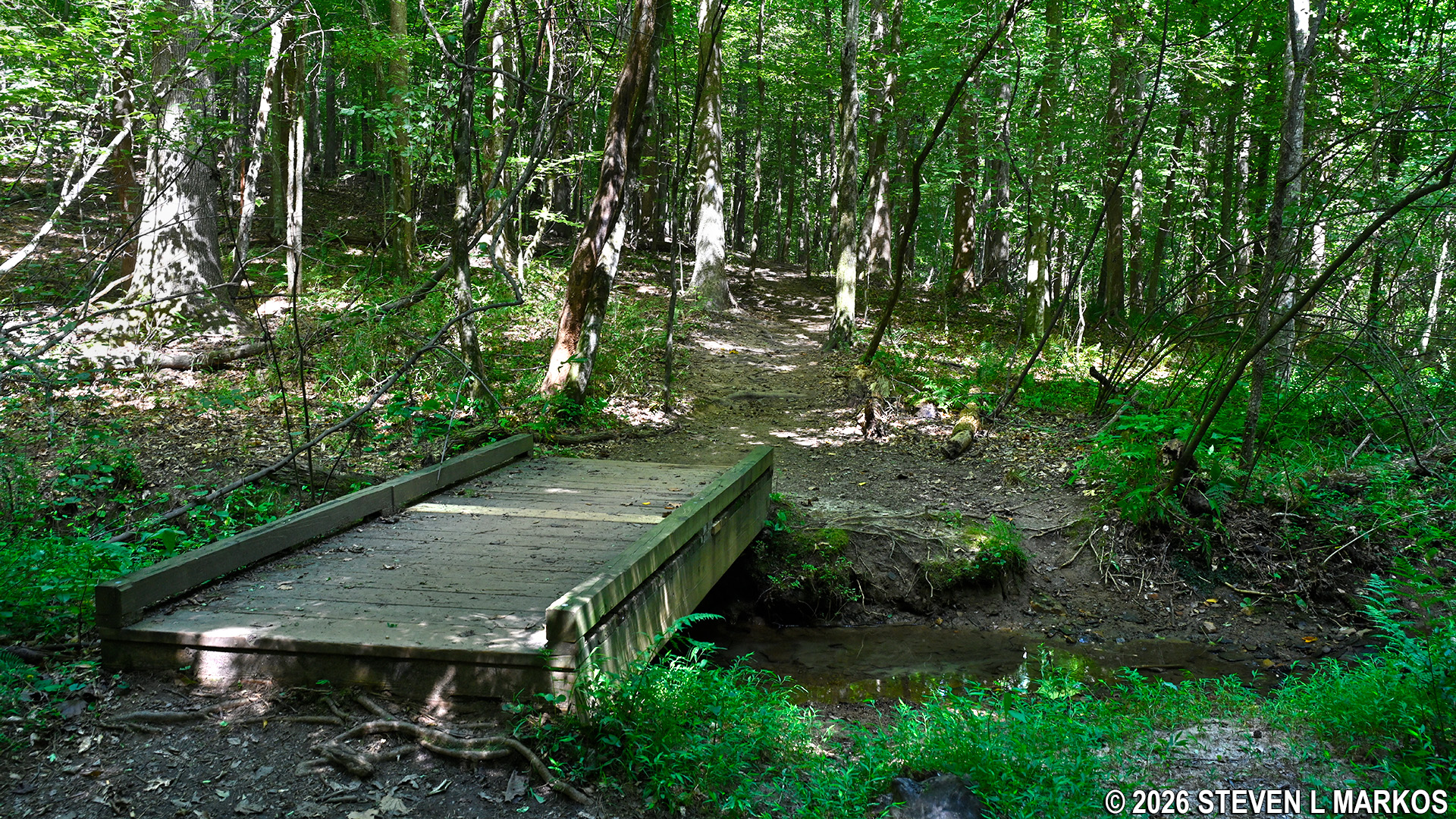
Trail in the Interstate North section of Chattahoochee River National Recreation Area
Interstate North Loop Hike
Length: 3-mile loop
Time: 2 hours
Difficulty: ★★★☆☆
Download Cochran Shoals Interstate North Trail Map (PDF).
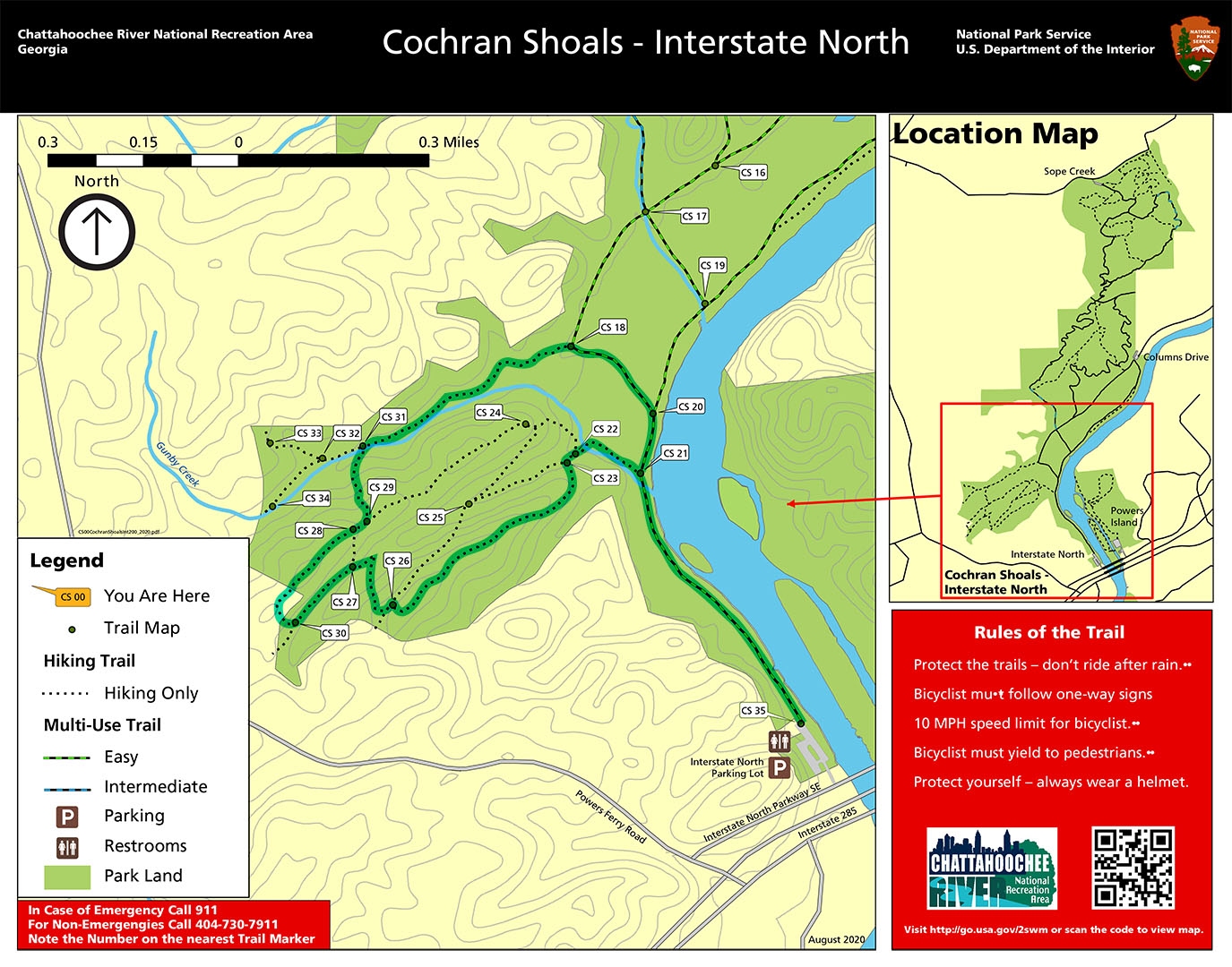
Interstate North Hike (click to enlarge)
Hiking trails at the Interstate North section of Chattahoochee River National Recreation Area’s Cochran Shoals Unit crisscross the area. While you can always form your own hike to suit your time constraints, I have a suggested loop hike that stays within the Interstate North unit. You can easily combine this with my Columns Drive Loop Hike, and even continue on to Sope Creek for a long hike that will fill the entire day.
Most of the trails in the park are well marked. Each intersection has a number, and unless vandalized, there is a directional sign baring that number along with an actual trail map. These numbers are listed on paper and electronic copies of the map as well. This trail report also references the intersection numbers.
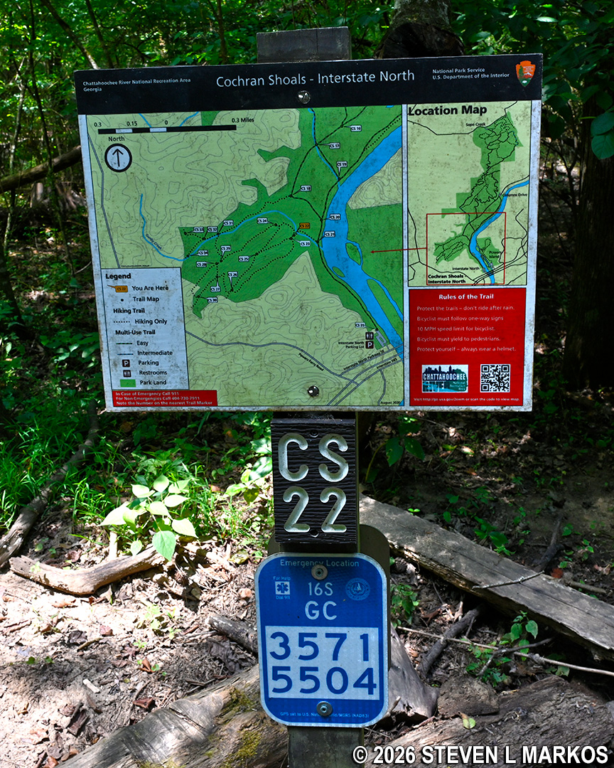
Typical directional signage at trail intersections within Chattahoochee River National Recreation Area
The Interstate North Loop Hike starts off on the Cochran Shoals Fitness Trail and has nice views of the Chattahoochee River, but once off the Fitness Trail and onto the traditional hiking trails, you won’t be anywhere near the river, so realize that this is mainly a hike for exercise purposes only. However, you will get a much better workout on the hiking trails than the Fitness Trail. The area is hilly, and a few of the trails offer moderate to strenuous uphill climbs for those wanting to raise their heart rate. You won’t get that on the Fitness Trail.
The Fitness Trail begins at the parking lot. The majority of it is a large loop trail located within the Columns Drive section of the park. The segment within Interstate North is basically a .6-mile out-and-back connector to the loop. The entire Fitness Trail, no matter where you begin, is a flat gravel road that is often exposed to the sun, so be prepared on a hot day.
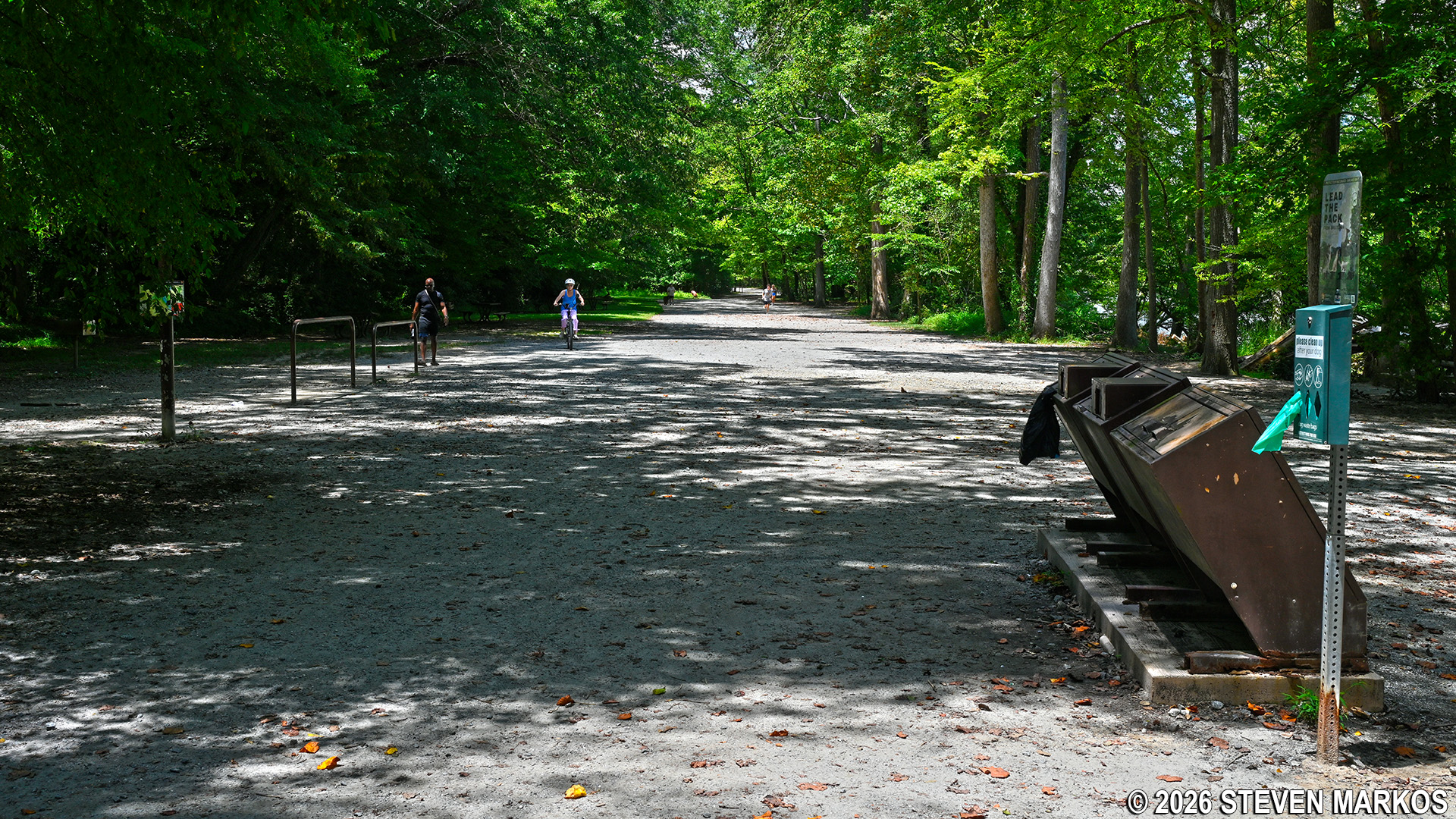
Start of the Fitness Trail at the Interstate North parking lot, Chattahoochee River National Recreation Area
As mentioned, there are nice views of the Chattahoochee River along the Interstate North segment of the Fitness Trail. In fact, there are two observation decks right on the water, one at the very start near the parking lot and one at intersection CS 20, which is visited at the end of this hike.
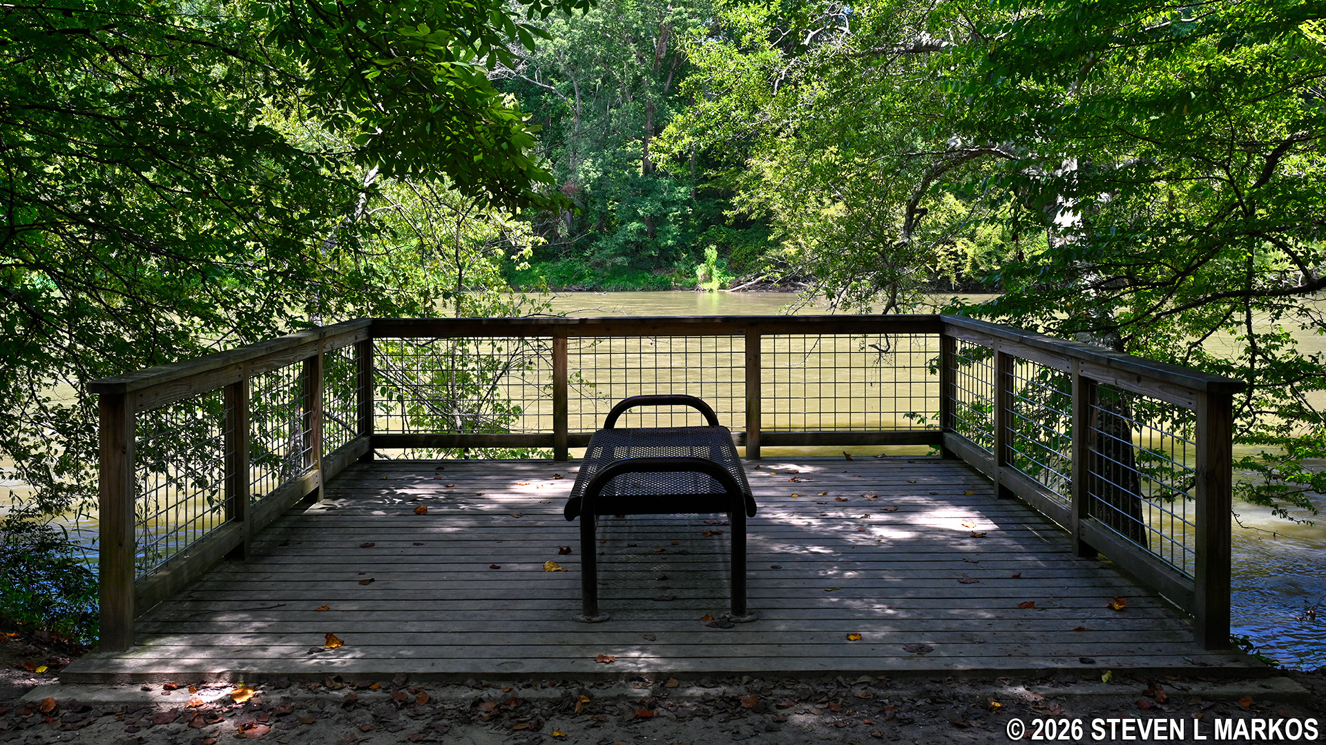
Observation deck on the Fitness Trail overlooks the Chattahoochee River near the Interstate North parking lot, Chattahoochee River National Recreation Area
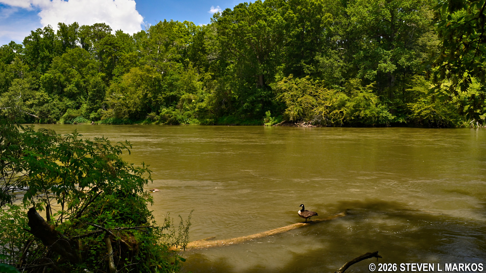
View of the Chattahoochee River from the Cochran Shoals Fitness Trail, Chattahoochee River National Recreation Area
To start the Interstate North Loop Hike, take the Fitness Trail for a half mile to intersection CS 21. Once there, turn left and head towards CS 22, which is less than a tenth of a mile away. This section of the trail is a boardwalk that elevates hikers above a swampy region. A wayside exhibit at the start discusses the swamp ecosystem. In the summer the area is lush with vegetation, so you might not even see any water, but during the winter, particularly after a heavy rain, the swamp is readily apparent.
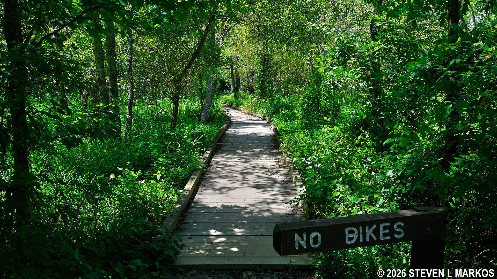
Boardwalk between intersections CS 21 and CS 22 on the Interstate North Loop Hike in Chattahoochee River National Recreation Area
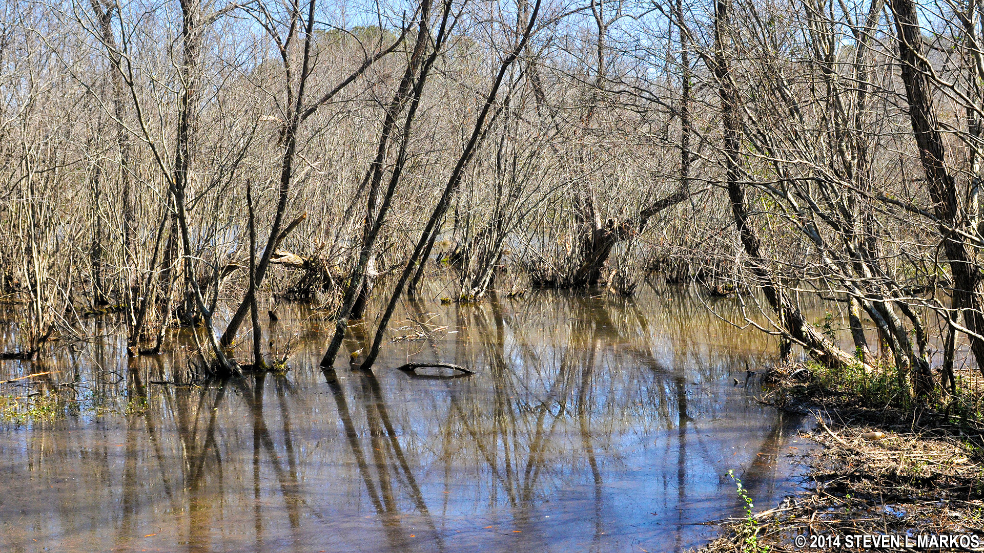
Winter view of the swampy area near the CS 21 intersection of the Interstate North trails, Chattahoochee River National Recreation Area
The fancy boardwalk ends at CS 22 and is replaced by wooden planks, which indicates that while not a full-fledged swamp, the terrain in this area can still be very muddy at times. From here, stay straight to get to the next destination, CS 23. The intersections are only a minute’s walk apart.
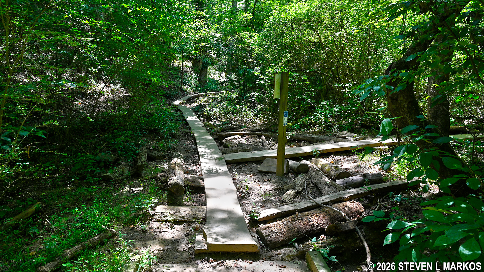
Wooden planks keep hikers out of the mud between intersections CS 22 and CS 23 on the Interstate North Loop Hike in Chattahoochee River National Recreation Area
When the trail forks at CS 23, stay left towards CS 26. Up to this point, the hike is very easy, but now the trail heads uphill nearly all the way to CS 26, which is .4 miles away. Sections of the climb are extremely steep. The first 200 feet has an average grade of 19% (strenuous hiking begins at 15%), and the next tenth of a mile averages 13%. The slope is more gradual after that, and by the time you reach CS 26, the trail will have leveled out a good bit.
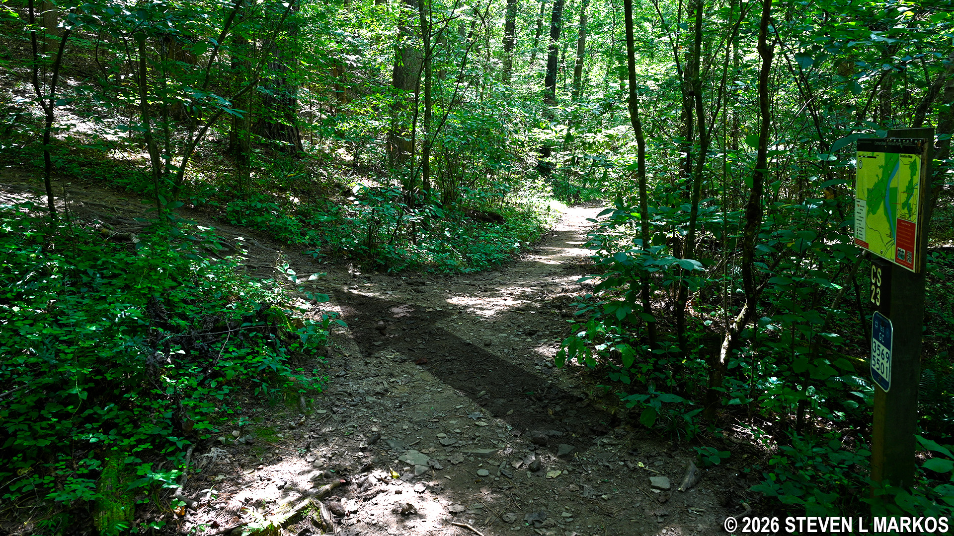
Left turn at intersection CS 23 on the Interstate North Loop Hike in Chattahoochee River National Recreation Area
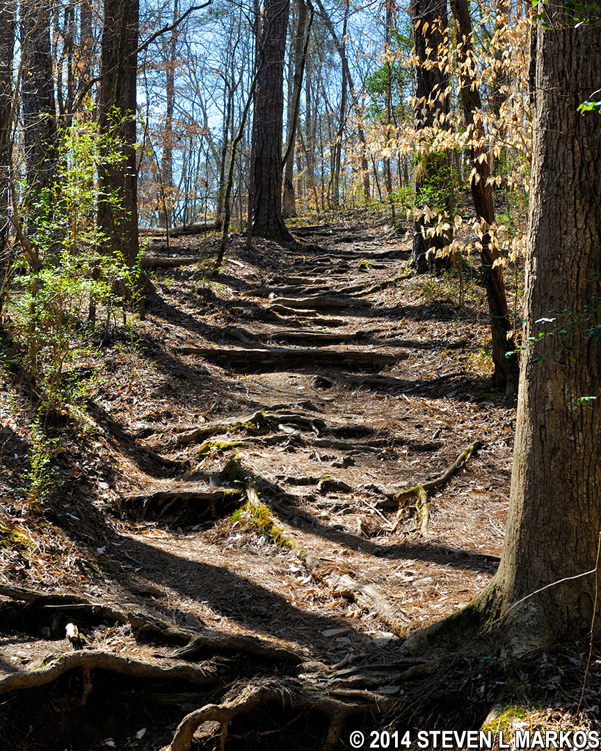
Hilly terrain between intersections CS 23 and CS 26 in the Interstate North section of Chattahoochee River National Recreation Area
The trail dead ends into a T-intersection at CS 26. When I did the hike, there was a sign post, but the trail number and map that are typically attached were missing. Anyway, take a left towards a large sign and a NO BIKES barrier.
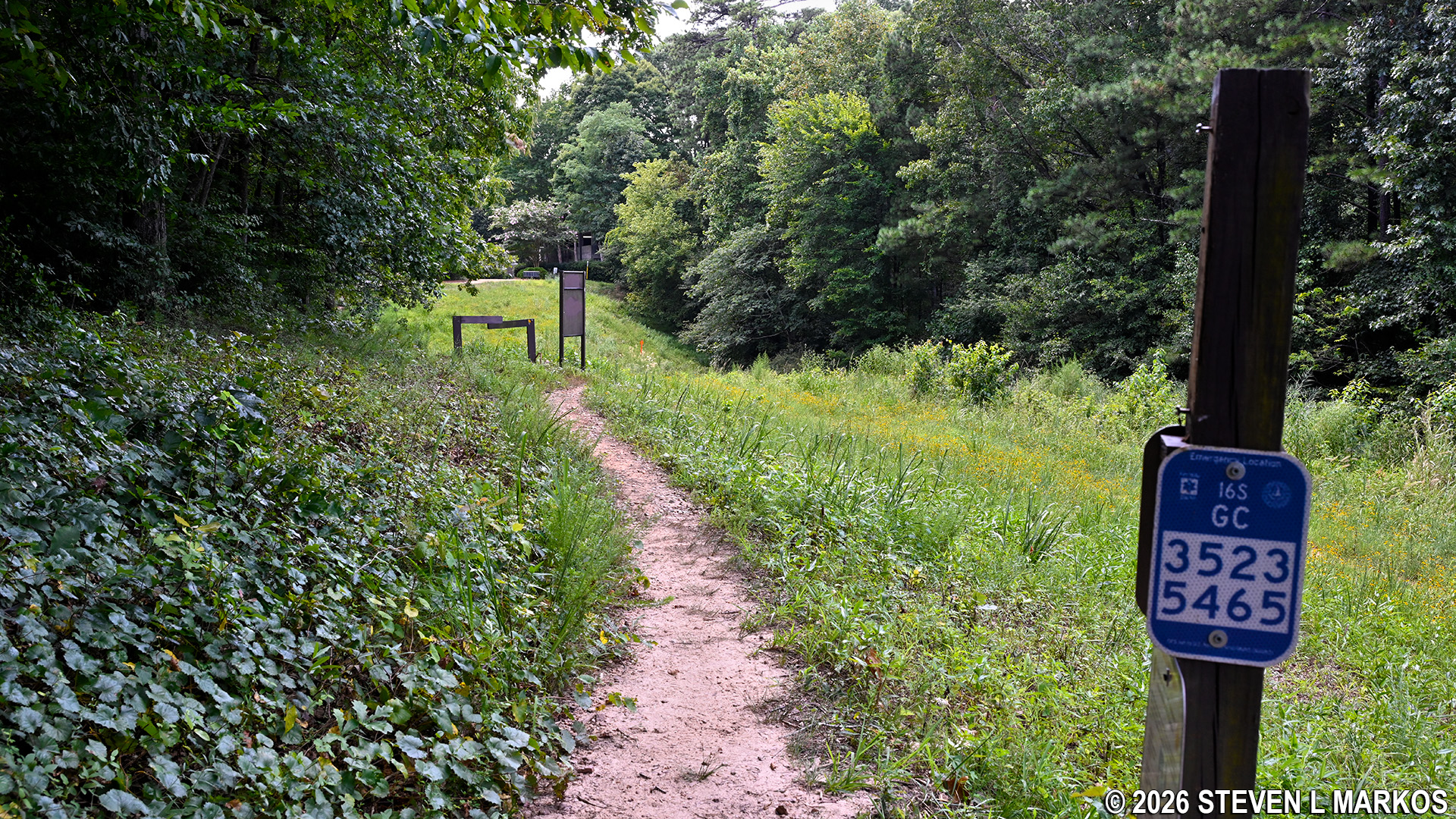
View west from the CS 26 intersection sign on the Interstate North Loop Hike in Chattahoochee River National Recreation Area
The trail continues straight ahead once you pass through the barrier, but that just leads out of the park. To continue the Interstate North Loop Hike, take a right at the sign and head down another steep hill (19% grade but only 125 feet long) towards the forest. There is NO BIKES barrier at the tree line.
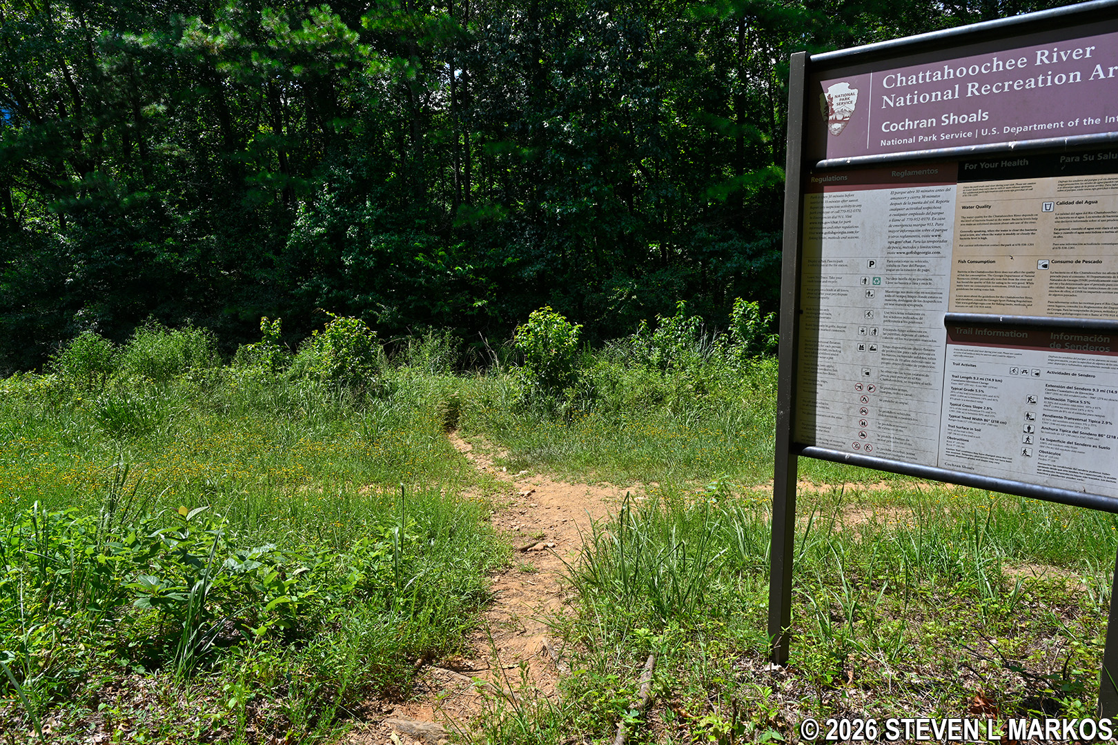
Steep descent a little west of the CS 26 intersection on the Interstate North Loop Hike in Chattahoochee River National Recreation Area
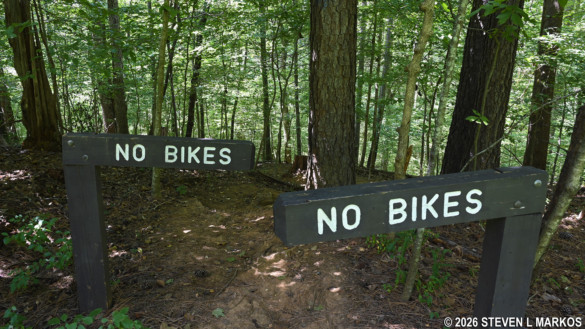
No Bikes barrier keeps bikers off the Interstate North trails near intersection CS 26, Chattahoochee River National Recreation Area
At the forest, the steep descent (average grade of 22%) continues down into a ravine for another 100 yards before arriving at a small creek. Once across the creek, the trail now gradually climbs up and out of the ravine, zigs and zags enough times that you might begin to wonder if you got off track, and eventually comes to intersection CS 27. At this point you will have hiked 1.25 miles.
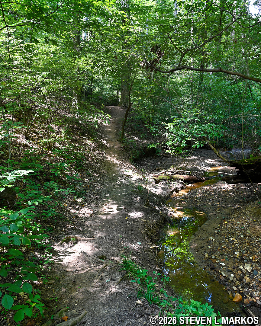
Creek at the bottom of a ravine between intersections CS 26 and CS 27 on the Interstate North Loop Hike in Chattahoochee River National Recreation Area
Once at CS 27 (which was also missing its trail map), head straight towards CS 30. The trail at this point forms a long oval, like a finger. If you want to shorten the hike and cut over to the other side, take a right at CS 27. If you continue straight as I did, you will eventually come to a large office building at the CS 30 intersection.
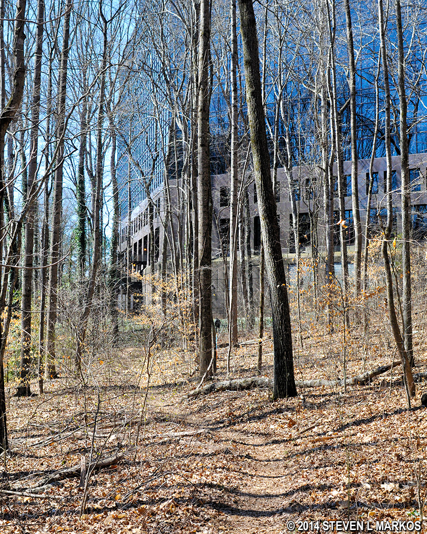
Office building near intersection CS 30 on the Interstate North Loop Hike in Chattahoochee River National Recreation Area
CS 30 is at the far end of the oval, and from here the trail curves around to the right and heads up a short-but-steep hill (average grade of 20%) that runs parallel to the office building. Once at the top, the terrain levels out and continues for .2 miles to intersections CS 28 and CS 29 (the two are just a minute apart).
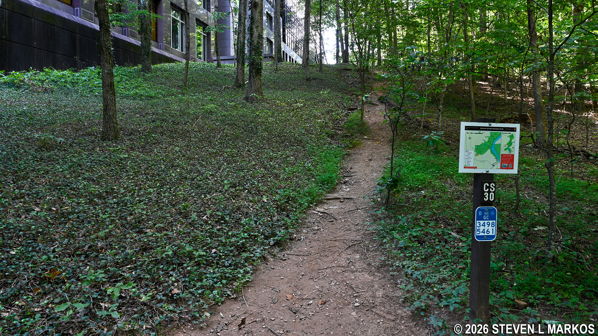
Trail in the Interstate North section of Chattahoochee River National Recreation Area between intersection CS 30 and CS 28 runs past an office building
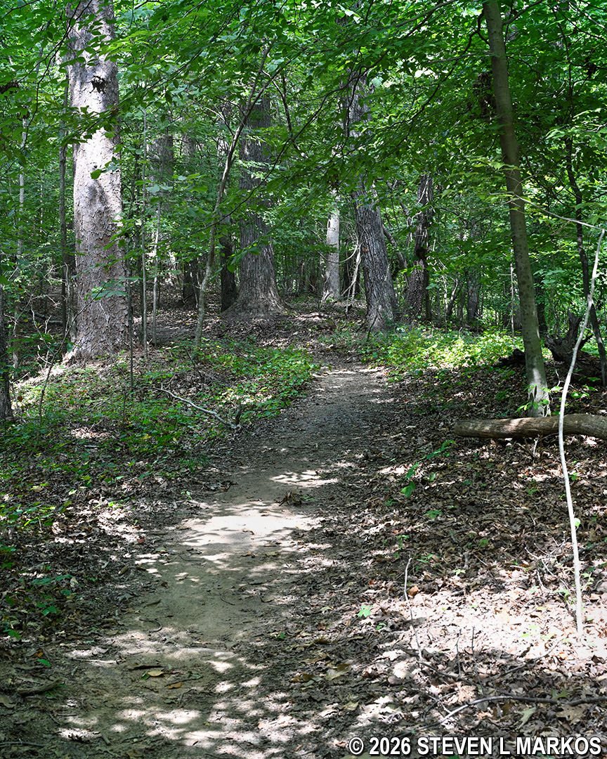
Typical terrain between intersections CS 30 and CS 28 on the Interstate North Loop Hike at Chattahoochee River National Recreation Area
There must have been some vandals when I did the hike, for the maps were missing from both the CS 28 and CS 29 sign posts (the numbers were at least intact). At CS 29, take a left towards CS 31. The trail now heads down yet another steep hill into a ravine (average grade of 17%). At the bottom is a footbridge over Gunby Creek. CS 31 is on the other side. The intersection comes at the 1.8-mile mark on the hike.
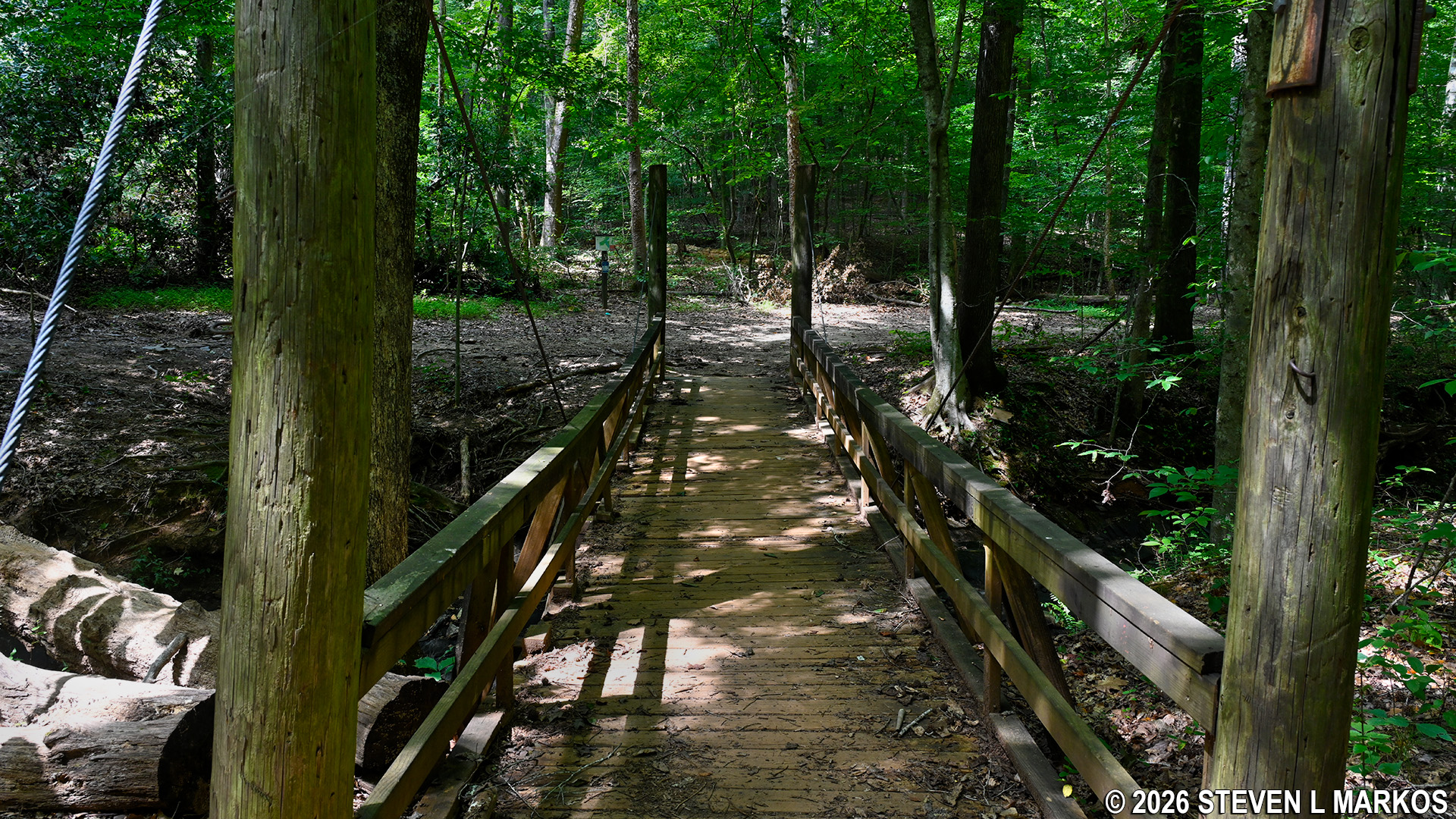
Footbridge over Gunby Creek at intersection CS 31 on the Interstate North Loop Hike at Chattahoochee River National Recreation Area
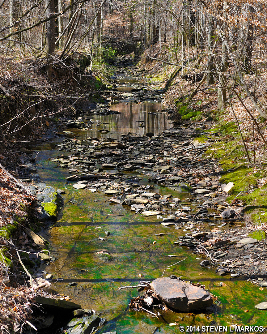
Gunby Creek in the Cochran Shoals / Interstate North section of Chattahoochee River National Recreation Area
From CS 31, the next destination is CS 18, and this is the longest segment of the entire hike at .4 miles. Luckily by this time the terrain has really flattened out. The trail, which now follows along Gunby Creek, begins as a dirt road with a wide and smooth trail surface. There are a couple of large concrete sewer caps in the middle of the path. This used to be an area where a permanent mud hold resided. However, the National Park Service either fixed this problem or rerouted the trail, so the mud is no longer a concern.
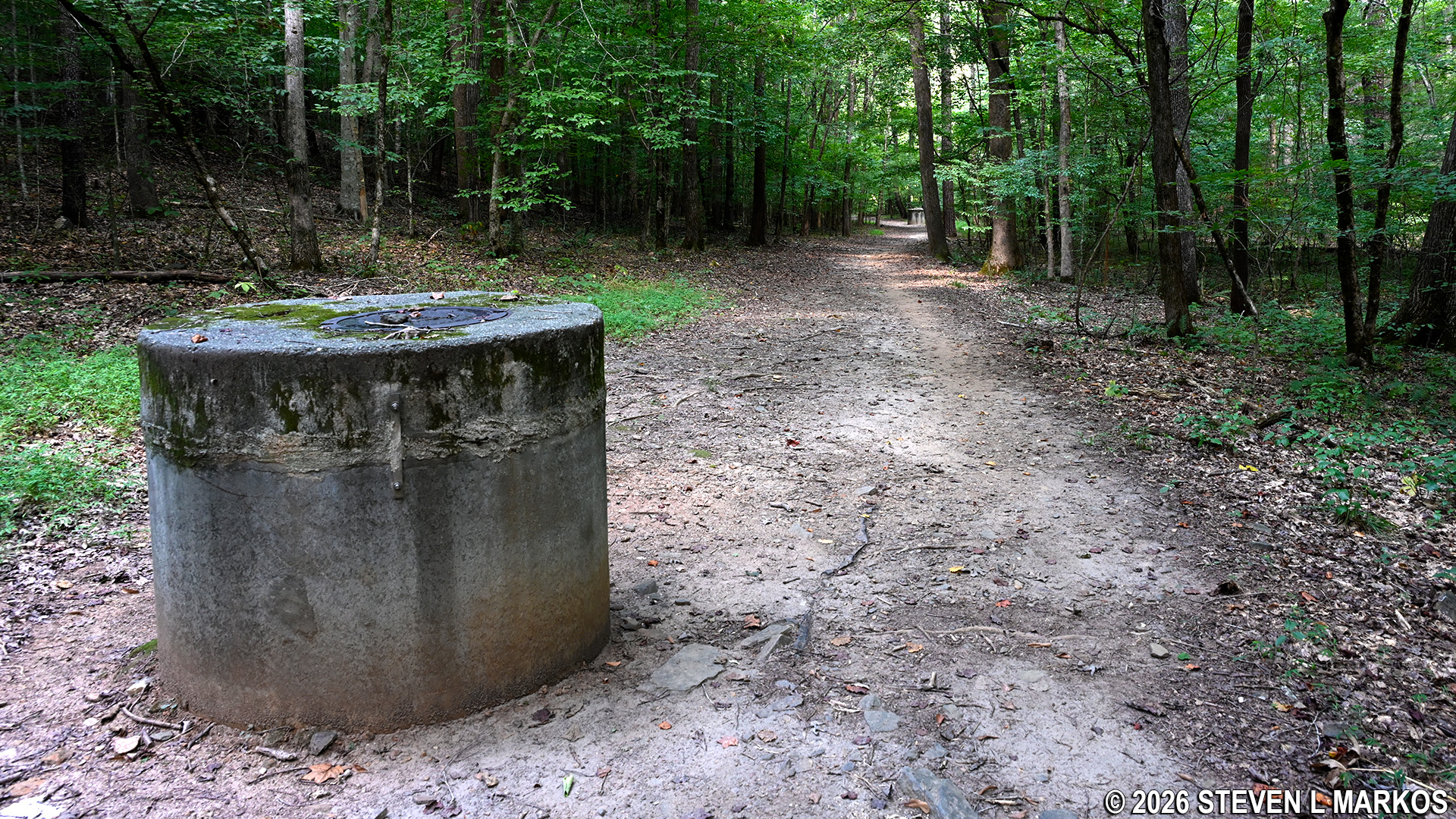
Interstate North trail at intersection CS 31, Chattahoochee River National Recreation Area
The dirt road eventually narrows into a traditional hiking trail. After a quarter mile there is a fork, with a left heading towards another sewer cap and a right leading over a bridge that spans a small stream. Make the right.
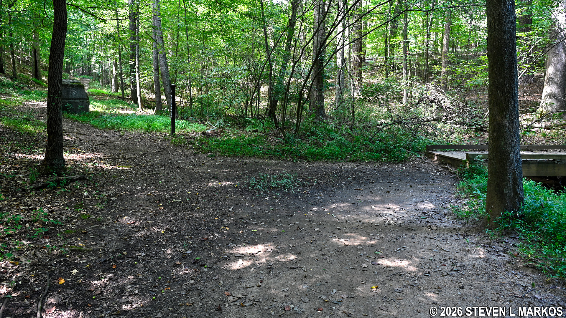
Bridge over a small stream between intersections CS 31 and CS 18 in the Interstate North section of Chattahoochee River National Recreation Area
In a tenth of a mile past the bridge, you will be back at the Fitness Trail at intersection CS 18. If you want to hike the loop in the Columns Drive section, take a left. For the Interstate North Loop Hike, turn right and head towards CS 20.
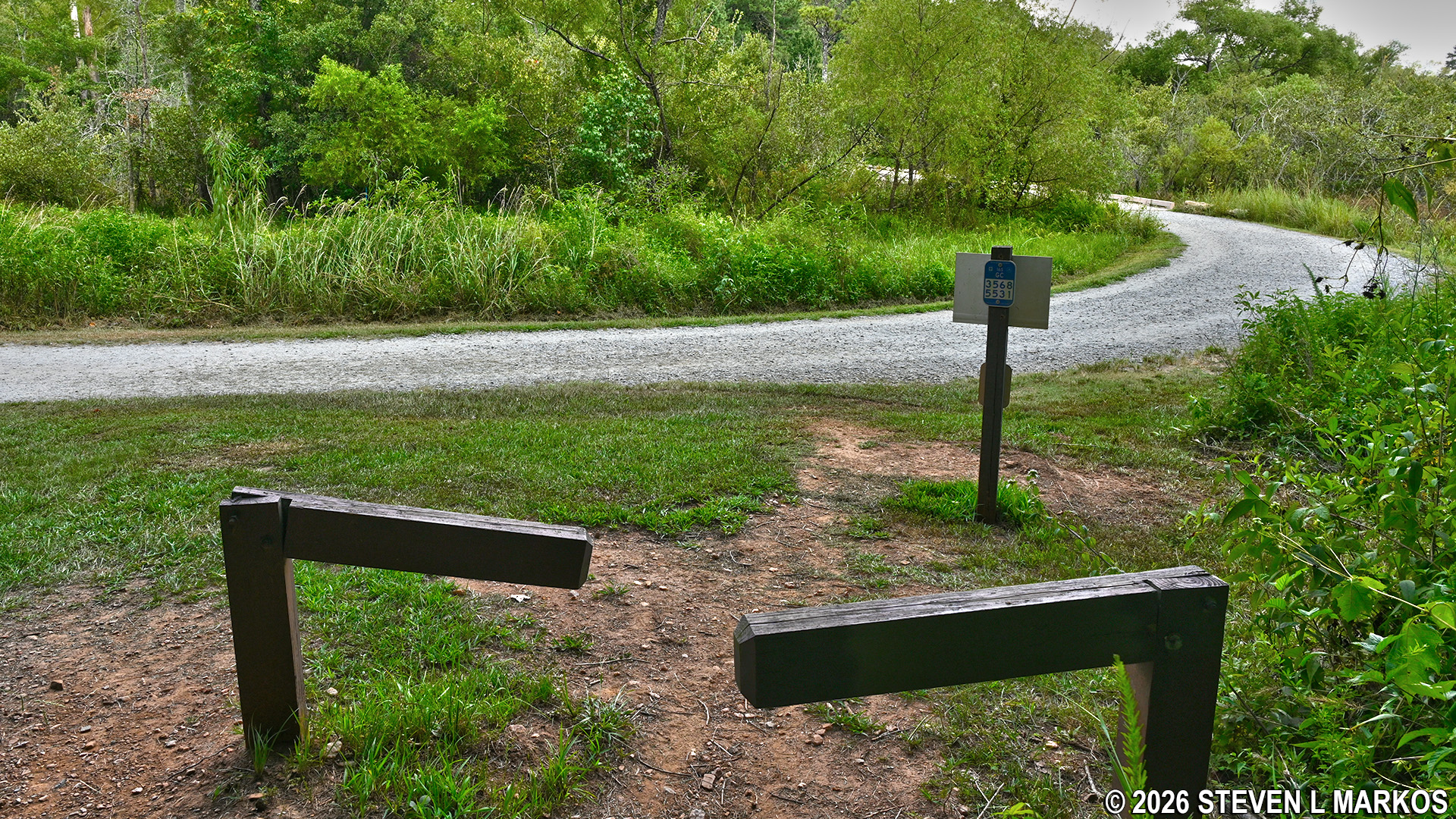
Intersection CS 18 at the Fitness Trail in the Interstate North section of Chattahoochee River National Recreation Area
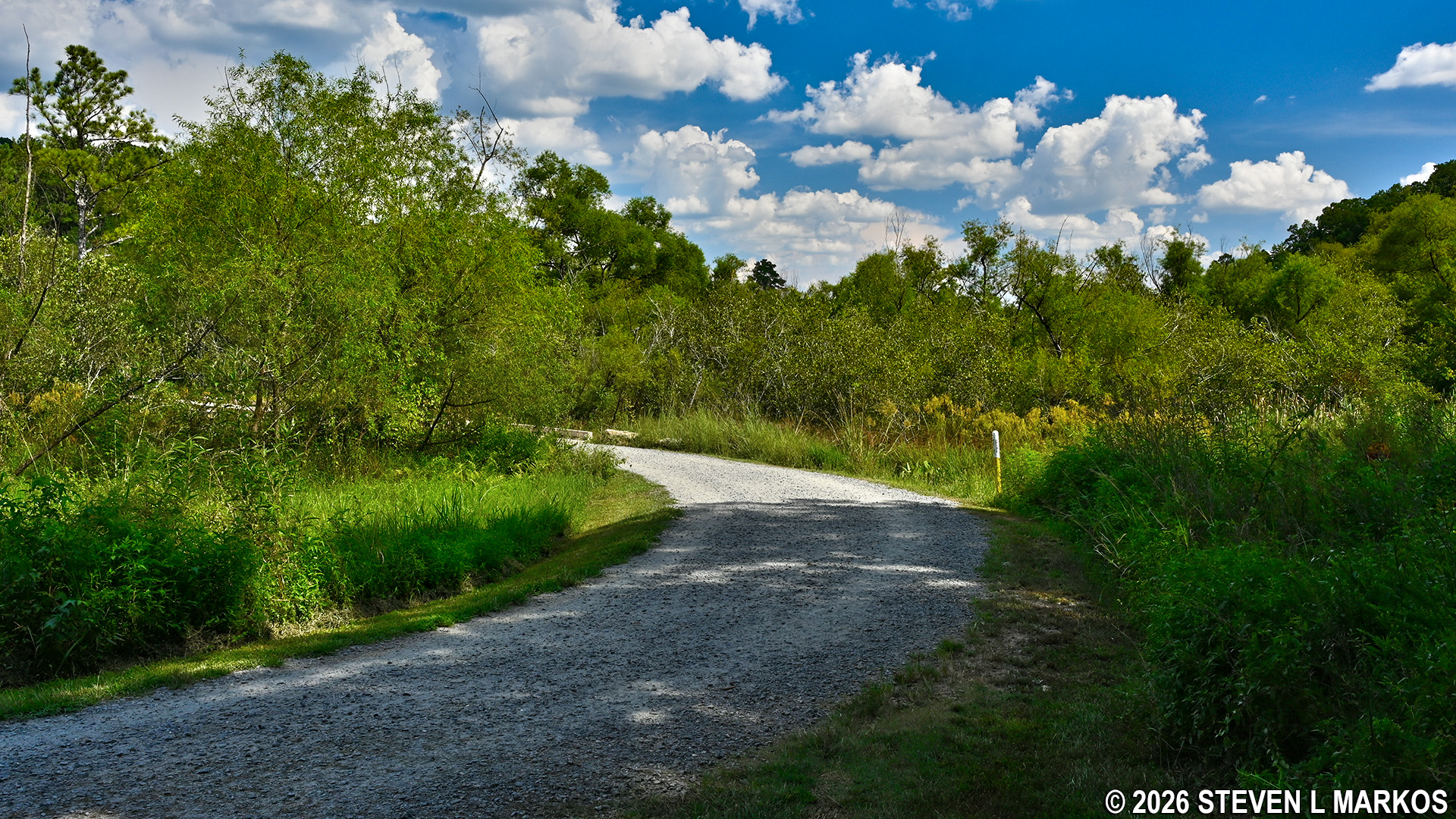
Cochran Shoals Fitness Trail near intersection CS 18 in the Interstate North section of Chattahoochee River National Recreation Area
This segment of the Fitness Trail passes through the swamp, and the water is more evident here.
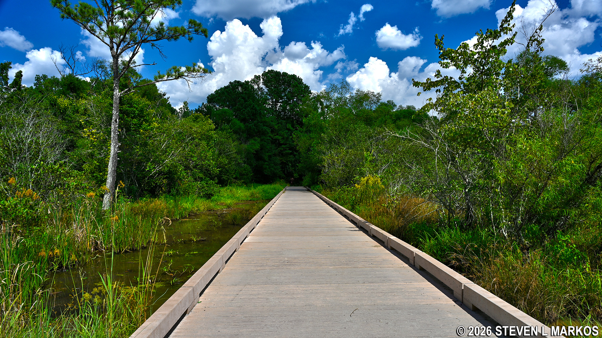
Fitness Trail passes through a swamp between intersections CS 18 and CS 20 in the Interstate North section of Chattahoochee River National Recreation Area
Take a right at CS 20 towards CS 21, which is where the loop portion of this hike started. Just after the turn is another overlook on the Chattahoochee River. The view is of Cochran Shoals, and it is one of the best views of the river in the entire Chattahoochee River National Recreation Area.
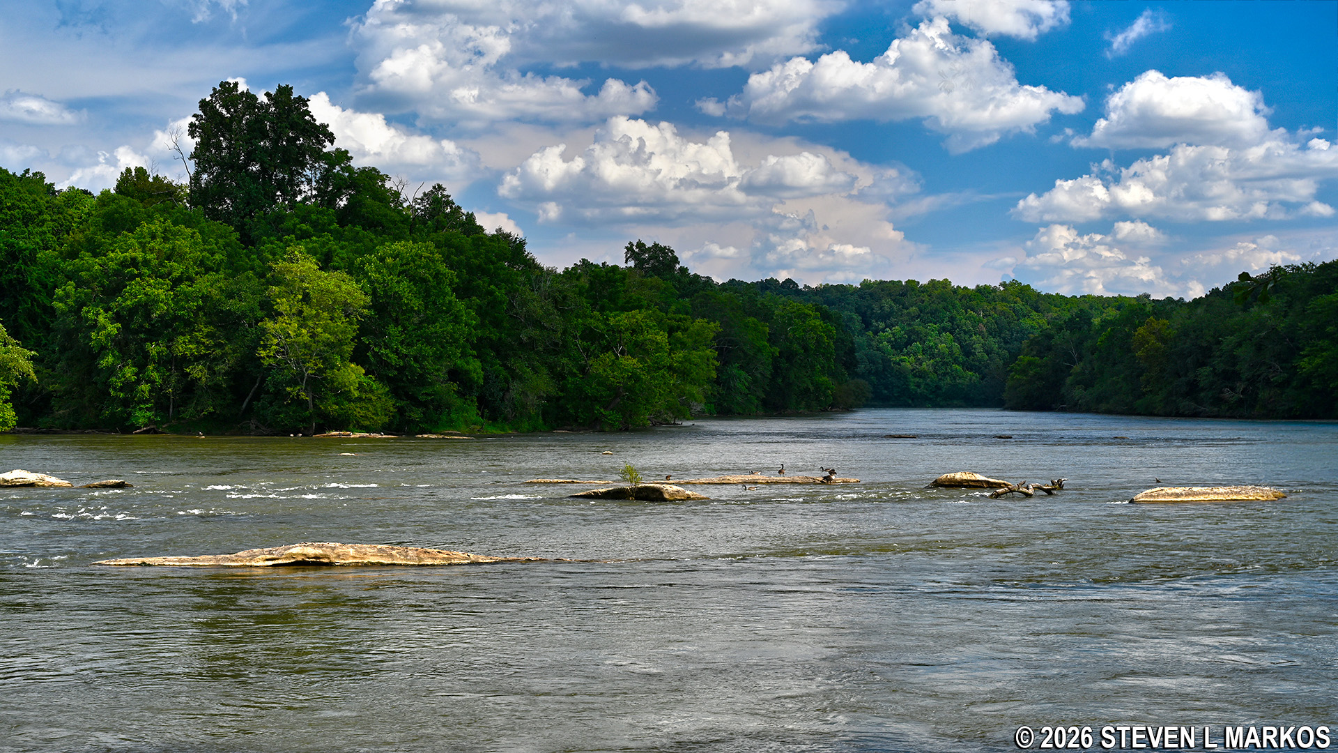
View of the Chattahoochee River from the CS 20 intersection on the Cochran Shoals Fitness Trail in Chattahoochee River National Recreation Area
Stay left at CS 21 and follow the river. It is a half mile back to the parking lot. Total distance of the hike is three miles.
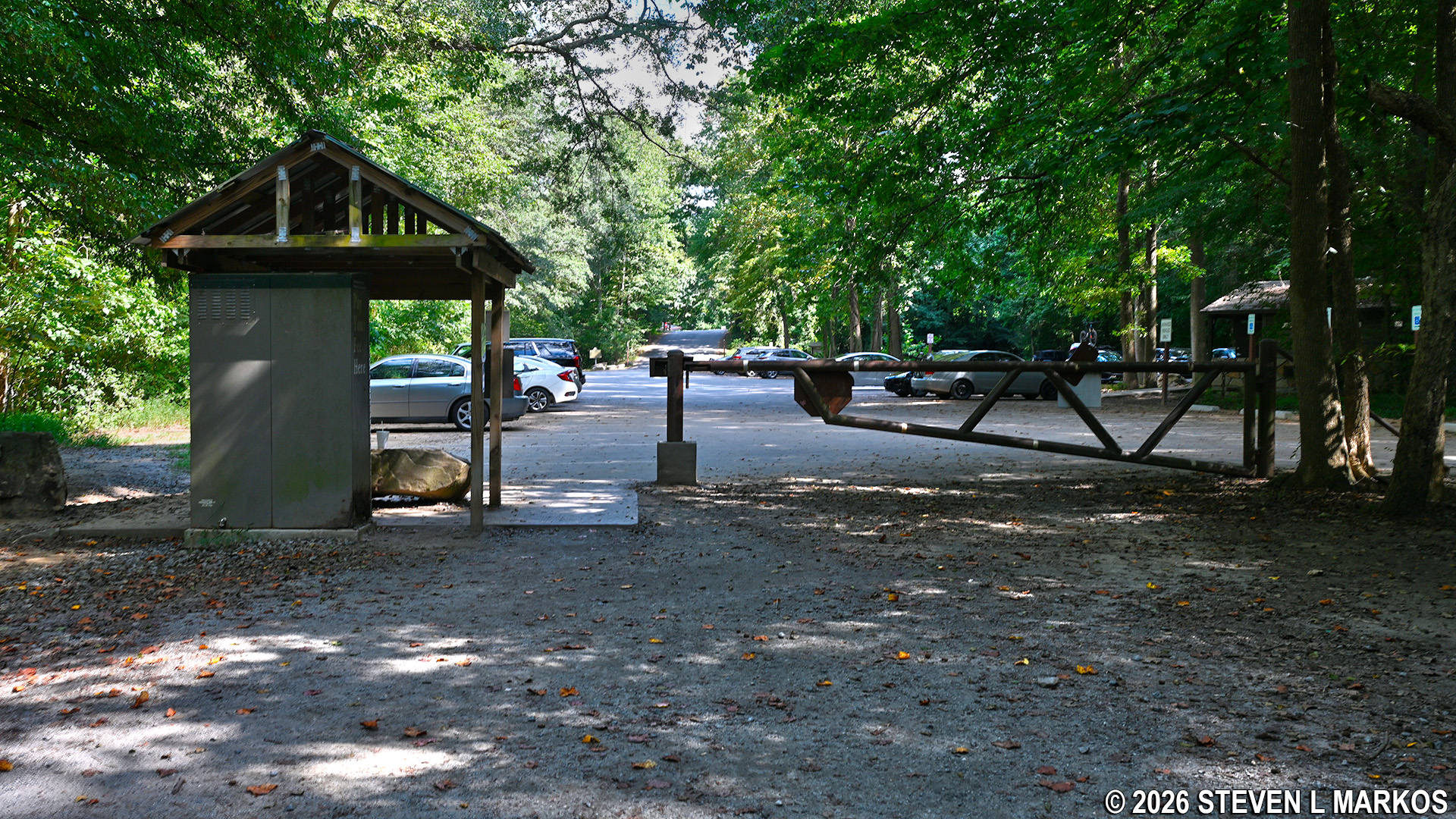
Interstate North Loop Hike ends back at the parking lot, Chattahoochee River National Recreation Area
With a few exceptions, use of any photograph on the National Park Planner website requires a paid Royalty Free Editorial Use License or Commercial Use License. See the Photo Usage page for details.
Last updated on July 18, 2026


