
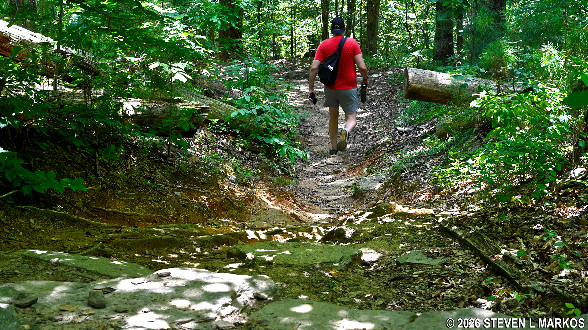
Hiker on the trails in the Columns Drive section of Chattahoochee River National Recreation Area
Distance: 2.7-mile loop
Time: 1.5 hours
Difficulty: ★★☆☆☆
Download the trail map: Columns Drive Map 2021 PDF
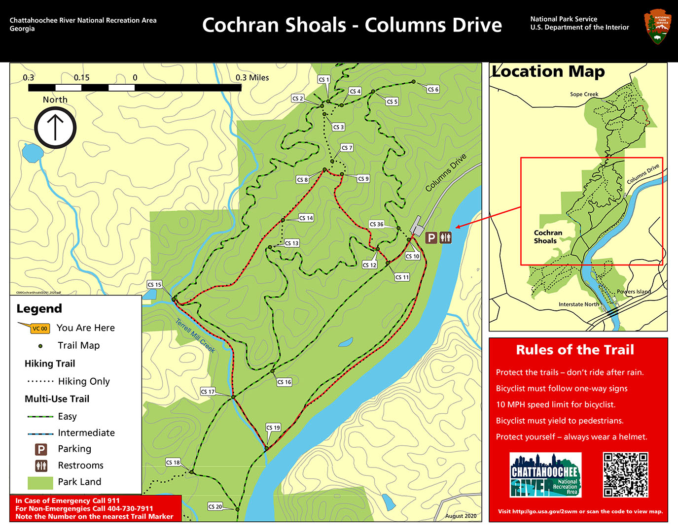
Columns Drive Hike Map (click to enlarge)
Hiking and biking trails crisscross the Columns Drive section of Chattahoochee River National Recreation Area’s Cochran Shoals Unit. You can form your own hikes, but I have a loop hike that stays within the Columns Drive section and utilizes the Hikers Only trails as much as possible (most of the trails are also open to mountain biking). You can easily combine this with my Interstate North hike and / or the Sope Creek hike for a longer trip that will fill the entire day.
Most of the trails in the park are well marked. Each intersection has a number, and unless vandalized, there is a directional sign baring that number along with an actual trail map. These numbers are listed on paper and electronic copies of the map as well. The numbers are also referenced in this trail review.
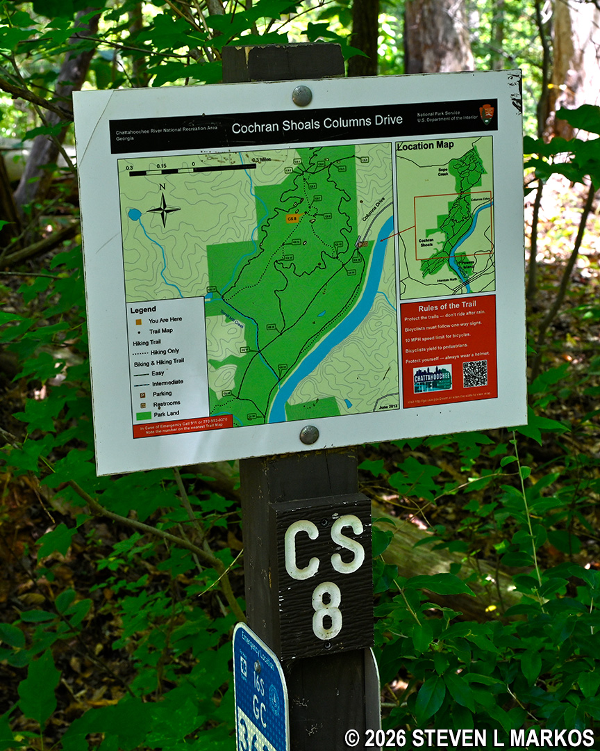
Typical directional signage at trail intersections within Chattahoochee River National Recreation Area
My loop hike around the Columns Drive section of the park proceeds in a clockwise manner by starting out on the Fitness Trail from the parking lot and heading towards the Chattahoochee River. Instead of walking straight ahead from the parking lot, take a left towards the bike rental station (the fee pay station will be on your left as well).
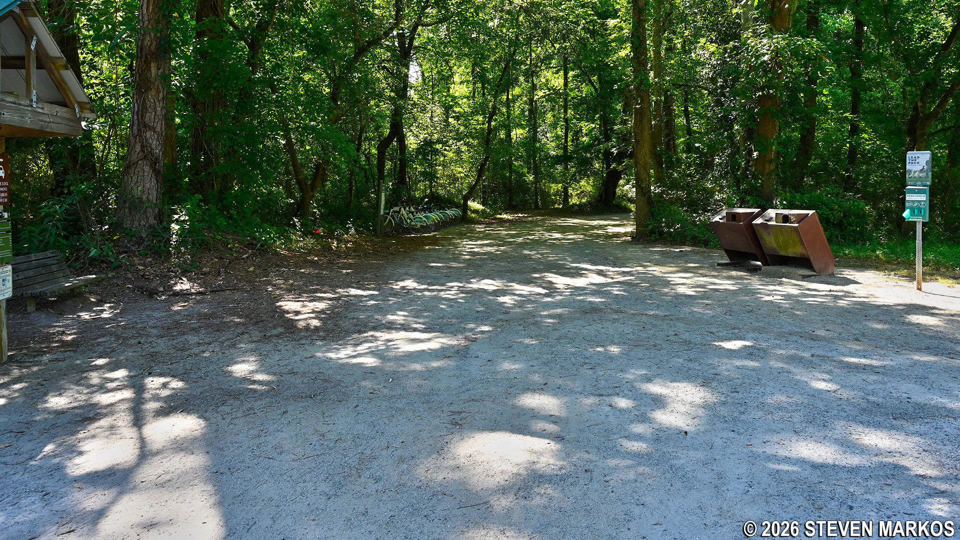
Start of the Chattahoochee River leg of the Fitness Trail at the Columns Drive section of Chattahoochee River National Recreation Area
The Fitness Trail is a gravel road that is often exposed to the sun, so be sure to wear a hat and apply sunscreen if avoiding the sun is important to you. It is as flat as a pancake and thus very popular with those looking to take a leisurely walk or bike ride or to go for a jog.
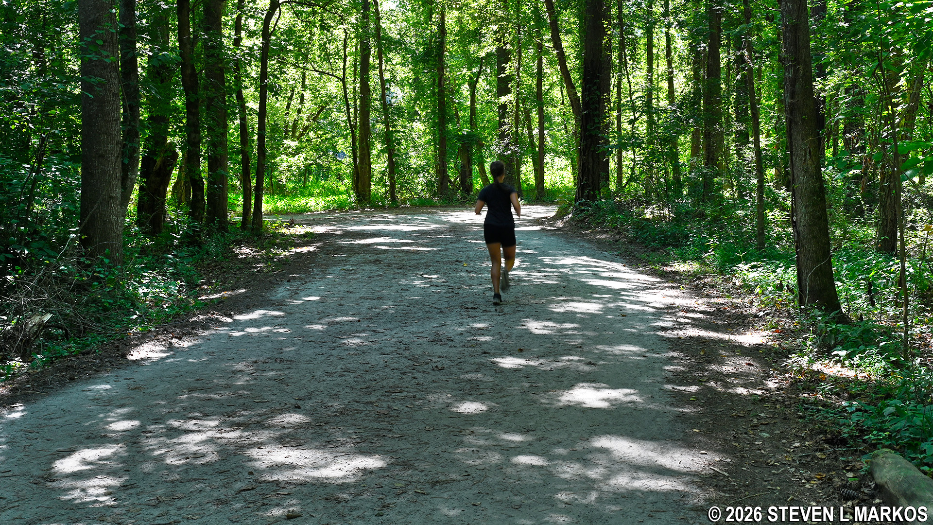
Typical terrain of the Fitness Trail in the Columns Drive section of Chattahoochee River National Recreation Area
If you want a reprieve from the masses of hikers and bikers on the Fitness Trail, .2 miles from the parking lot is a traditional hiking trail that branches off to the left, paralleling the Fitness Trail while running a little closer to the Chattahoochee River. It is not as wide as the Fitness Trail, but it is just as level. Along the way are a few side trails that lead down to the riverbank.
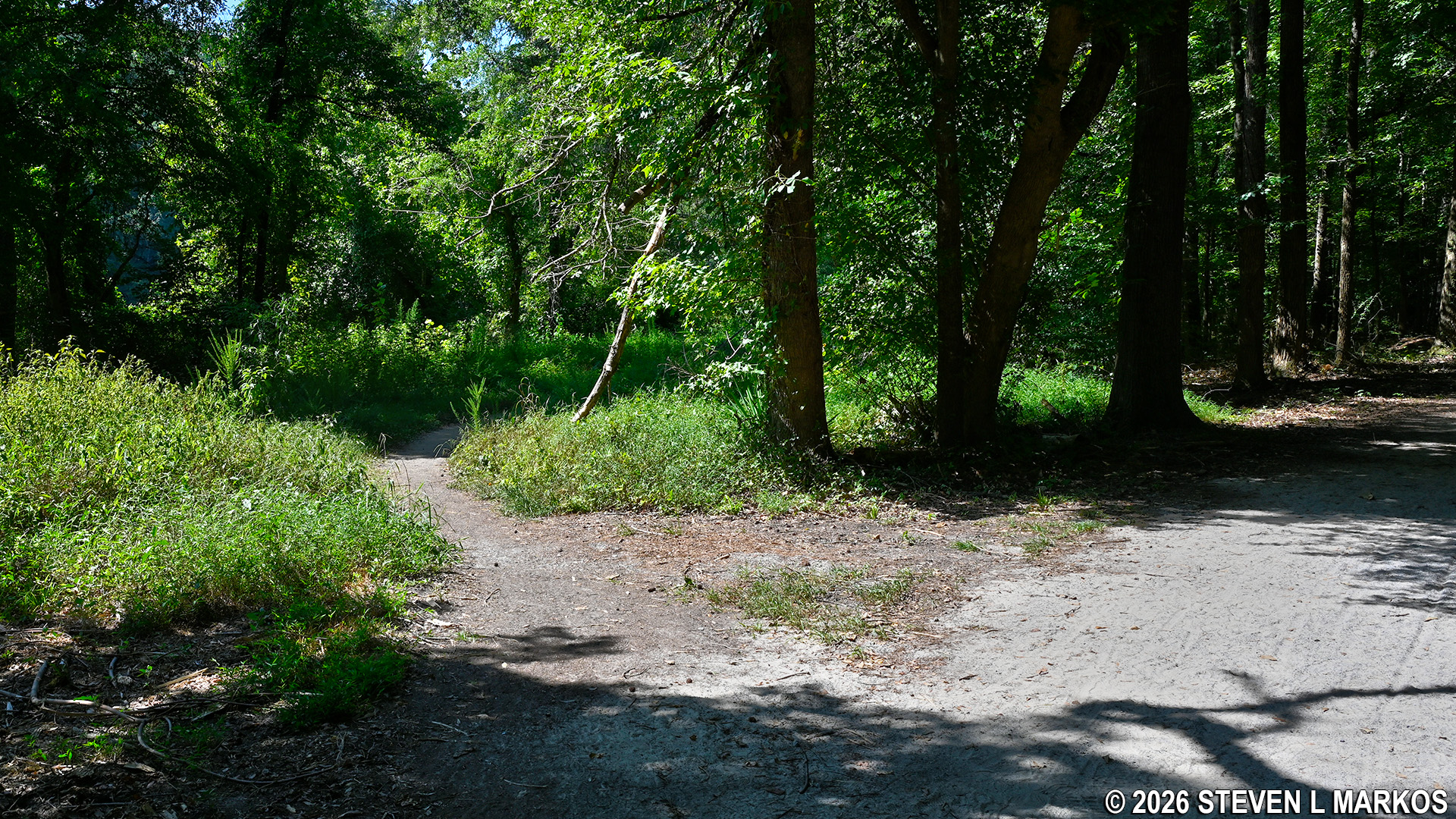
Traditional hiking trail branches off from the gravel Fitness Trail in the Columns Drive section of Chattahoochee River National Recreation Area
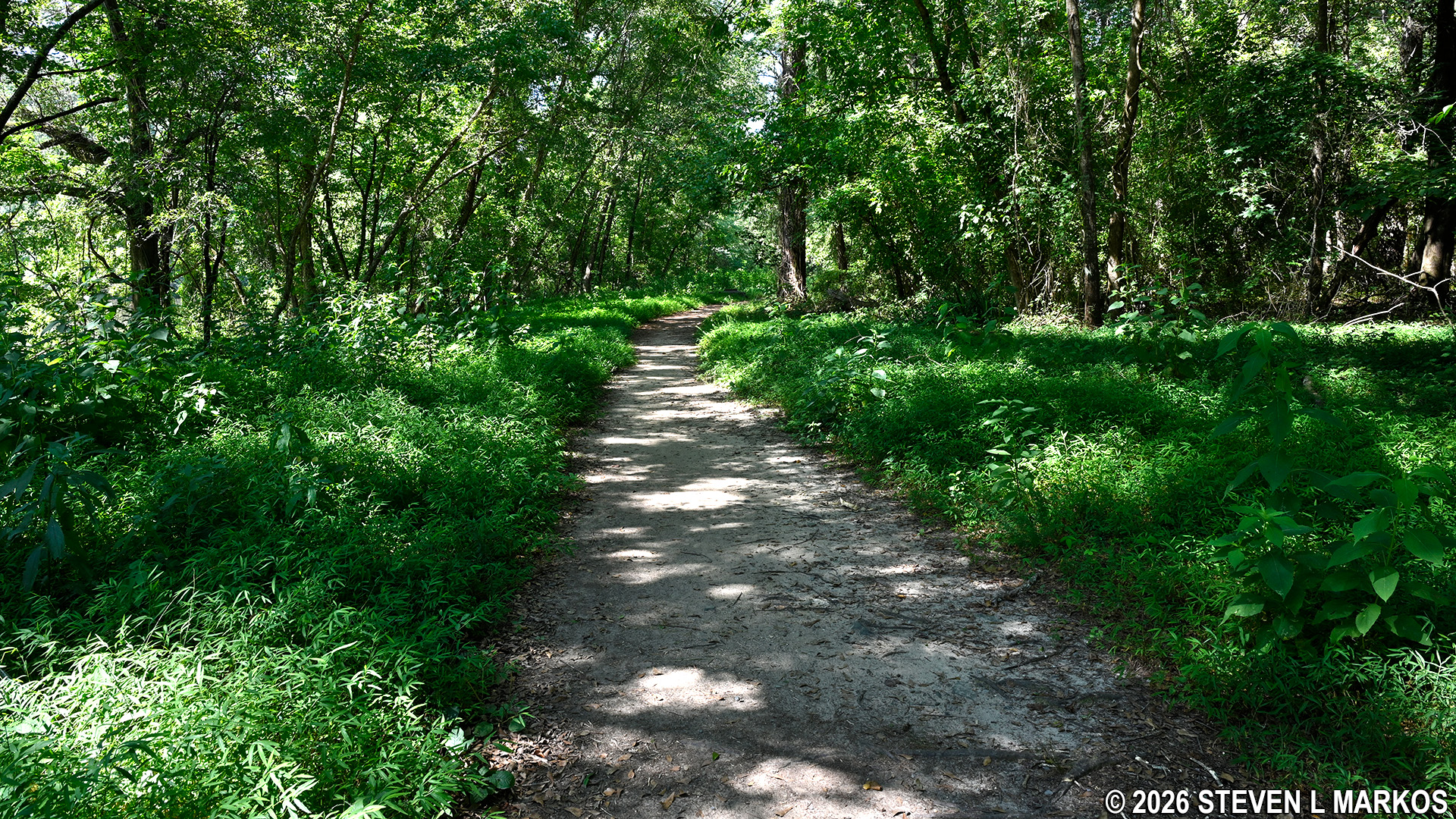
Traditional hiking trail runs parallel to the Fitness Trail in the Columns Drive section of Chattahoochee River National Recreation Area
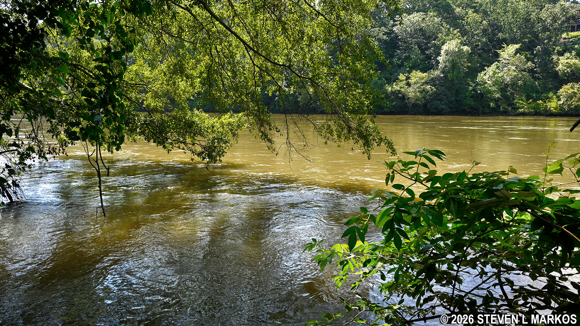
View of the Chattahoochee River from the Columns Drive section of Chattahoochee River National Recreation Area
The hiking trail continues for a half mile before rejoining the Fitness Trail. Continue for another .2 miles to intersection CS 19, then turn right and hike .2 more miles to CS 17. The trail between these two points is wide and open to both hikers and bikers. It follows Terrel Mill Creek, but there is too much vegetation between the trail and the creek to get a good glimpse of the water.
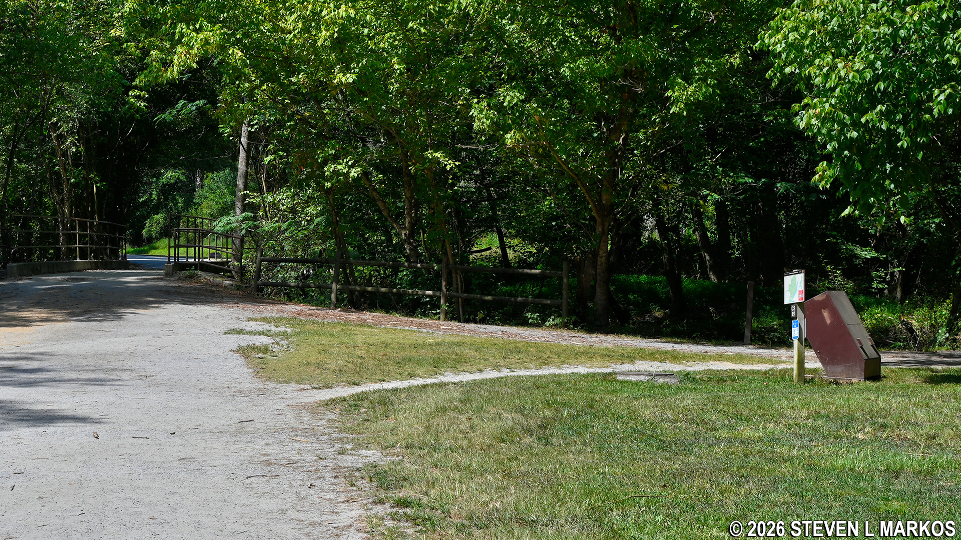
Cochran Shoals Fitness Trail at intersection C 19 in the Columns Drive section of Chattahoochee River National Recreation Area
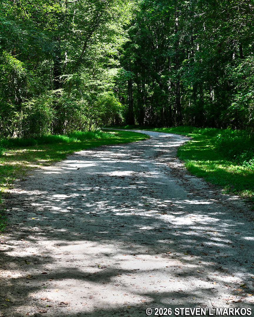
Typical terrain between intersections CS 19 and CS 17 in the Columns Drive section of Chattahoochee River National Recreation Area
At CS 17, stay straight on the Hikers Only trail to CS 15, a distance of .4 miles. This used to be a bike trail as well, but the bike trail was moved a little to the east and is now accessed at CS 16.
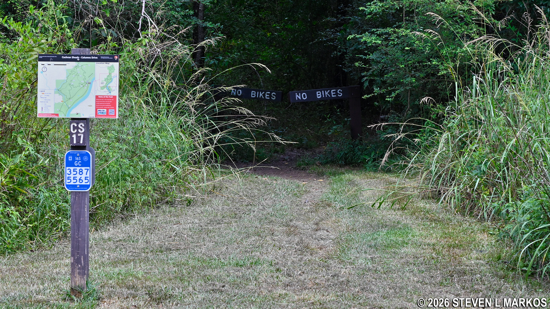
Intersection CS 17 on the Columns Drive Loop Hike in the Cochran Shoals unit of Chattahoochee River National Recreation Area
The trail starts off rather nicely, but after a quarter mile it gets very rocky, even to the point of being burdensome by the very end.
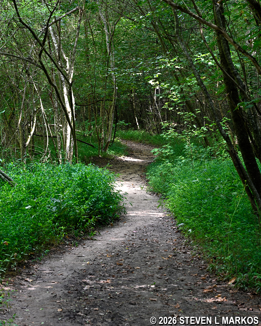
Terrain at the start of the hike between intersections CS 17 and CS 15 on the Columns Drive Loop Hike in the Cochran Shoals unit of Chattahoochee River National Recreation Area
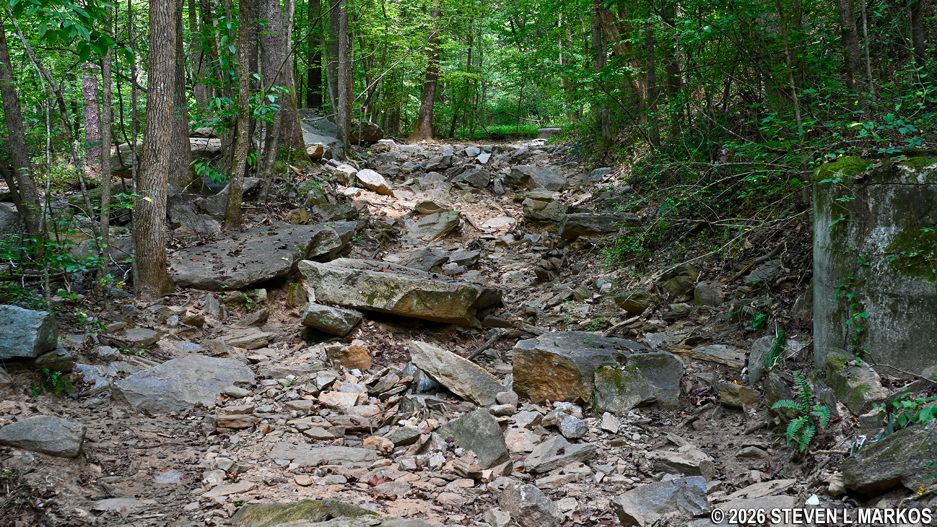
Rocky terrain near intersection CS 15 on the Columns Drive Loop Hike in the Cochran Shoals unit of Chattahoochee River National Recreation Area
As with the last segment, the trail follows Terrell Mill Creek. However, on this section there is one spot with a nice view. In fact, you can walk right down to the water.
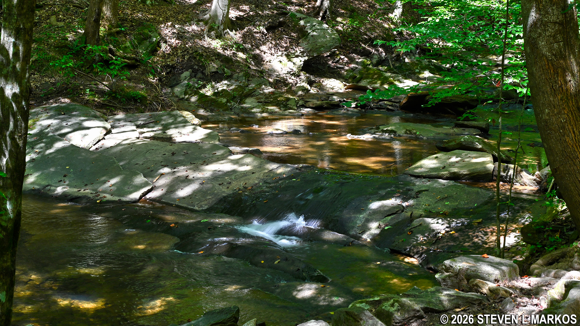
View of Terrell Mill Creek on the CS 17- to- CS 15 segment of the Columns Drive Loop Hike in the Cochran Shoals unit of Chattahoochee River National Recreation Area
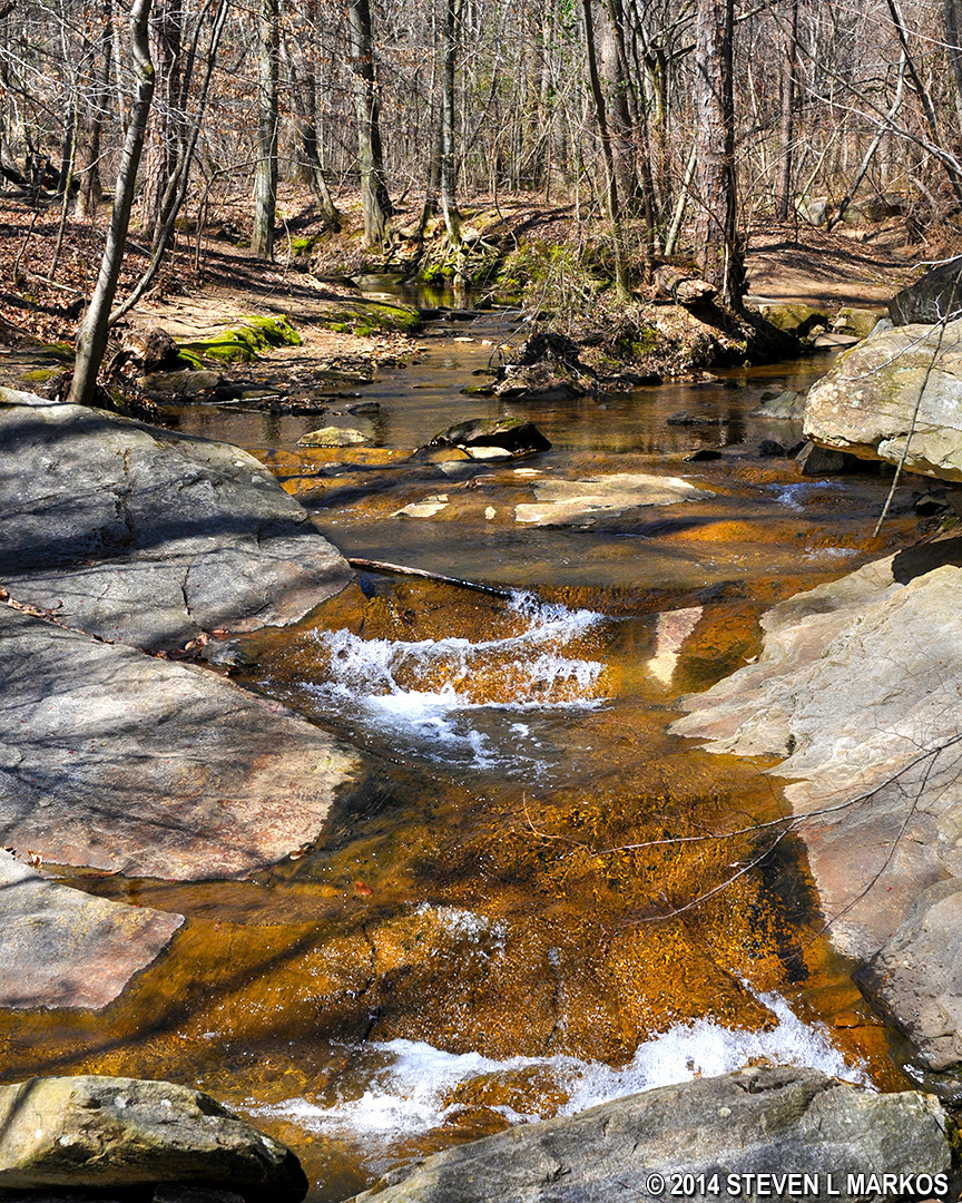
Terrell Mill Creek in the Cochran Shoals Unit of Chattahoochee River National Recreation Area
I had to step off the trail and onto some rocks to get my photos of the creek. I ended up being one step away from a snake nestled on the ground between some rocks. When I say “one step away,” I mean I was about to put my foot down just as I spotted it. I got a tree branch and gave it a poke, sending it slithering quickly down the rocks towards the water. I’m no snake expert, but after looking at photos on the Internet, I’m guessing this was a Northern Water Snake. No sooner did I step onto another rock than a fat, reddish snake about five feet from me jumped out of its hiding spot and scurried away. I saw nothing but its rear end as it fled.
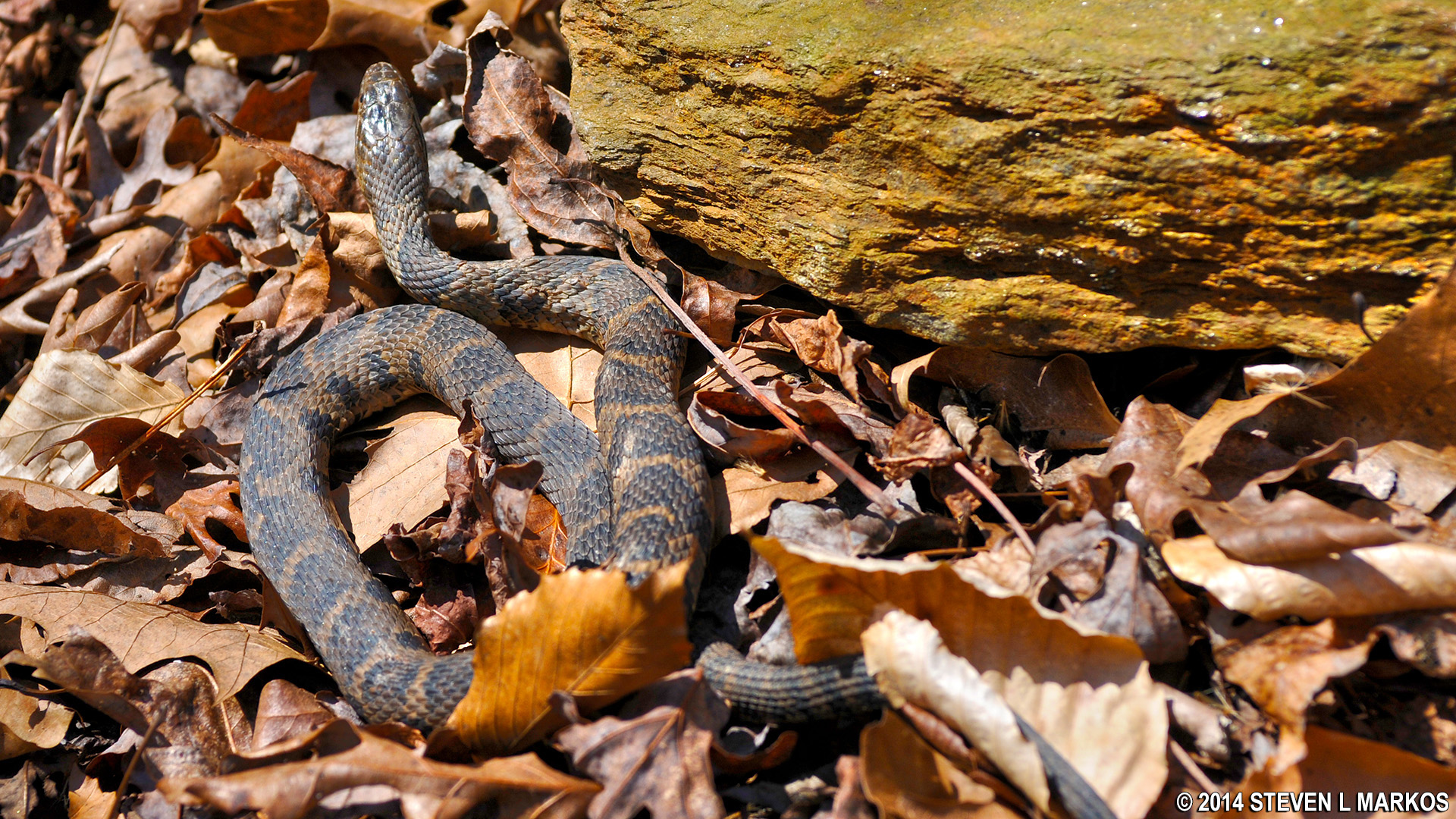
Northern Water Snake (?)
Upon reaching CS 15, you have to options. In front of you will be a sewer cap of some sort, and a little to the left of it is the CS 15 sign. The trail that runs by it is the Hiker-Biker trail to CS 2. Because I wanted to avoid bikers, I opted to take the Hikers Only trail towards CS 14. This is to the right of the trail sign and up a steep hill covered in tree roots and rocks. If you look closely, you will see signage at the top, which is actually a barrier to keep out bikers.
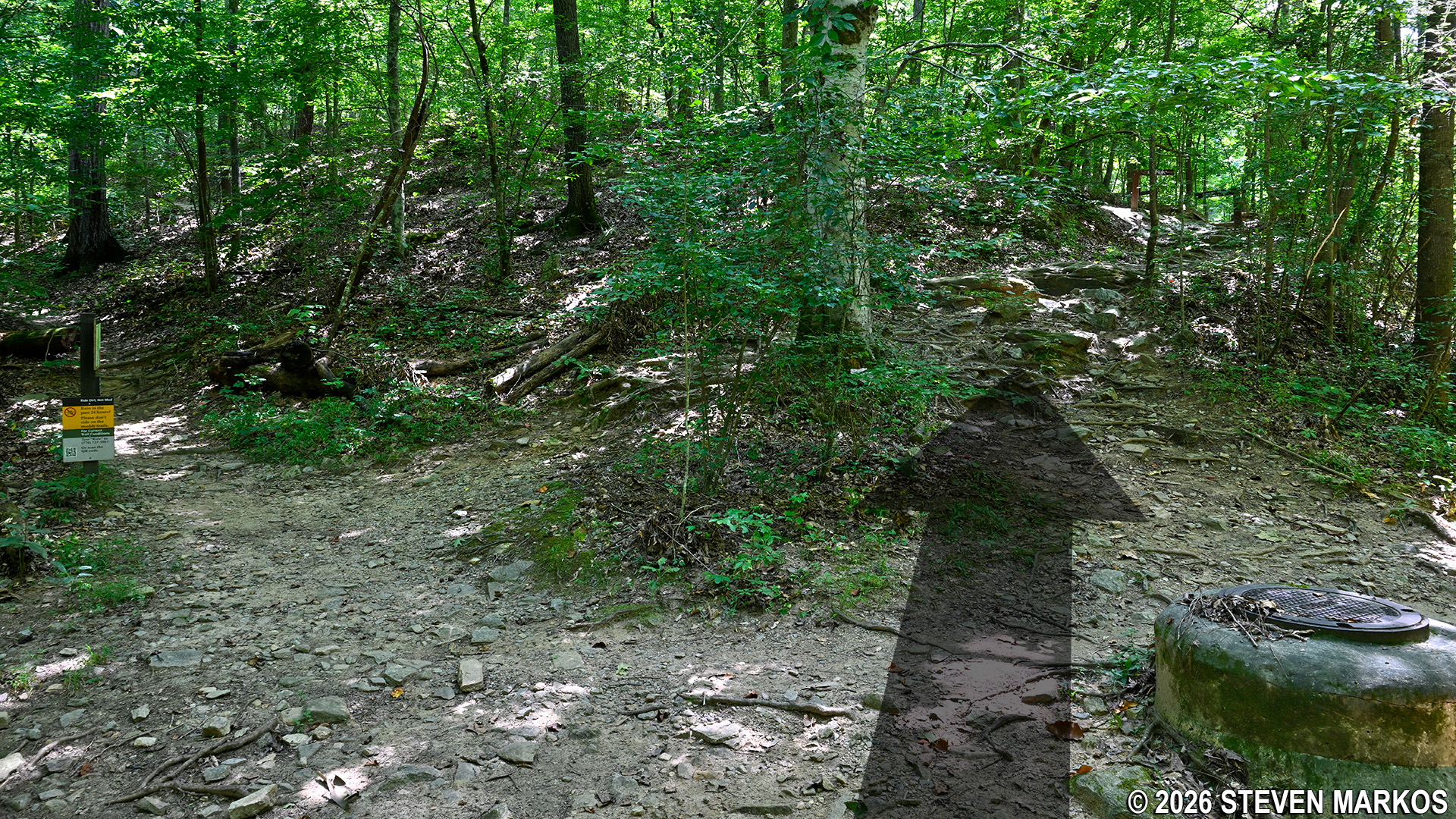
Hikers Only trail at intersection CS 15 on the Columns Drive Loop Hike in the Cochran Shoals unit of Chattahoochee River National Recreation Area
When you climb the hill, you will see that the trail forks. The trail to the right is the Hiker-Biker trail to CS 16. Anyone biking (or hiking) from there would be on this trail and would have to ride down the hill with the rocks and roots and then U-turn to continue on the Hiker-Biker trail next to the CS 15 sign. To stay on the Hikers Only trail to CS 14, stay left and pass through the NO BIKES barrier.
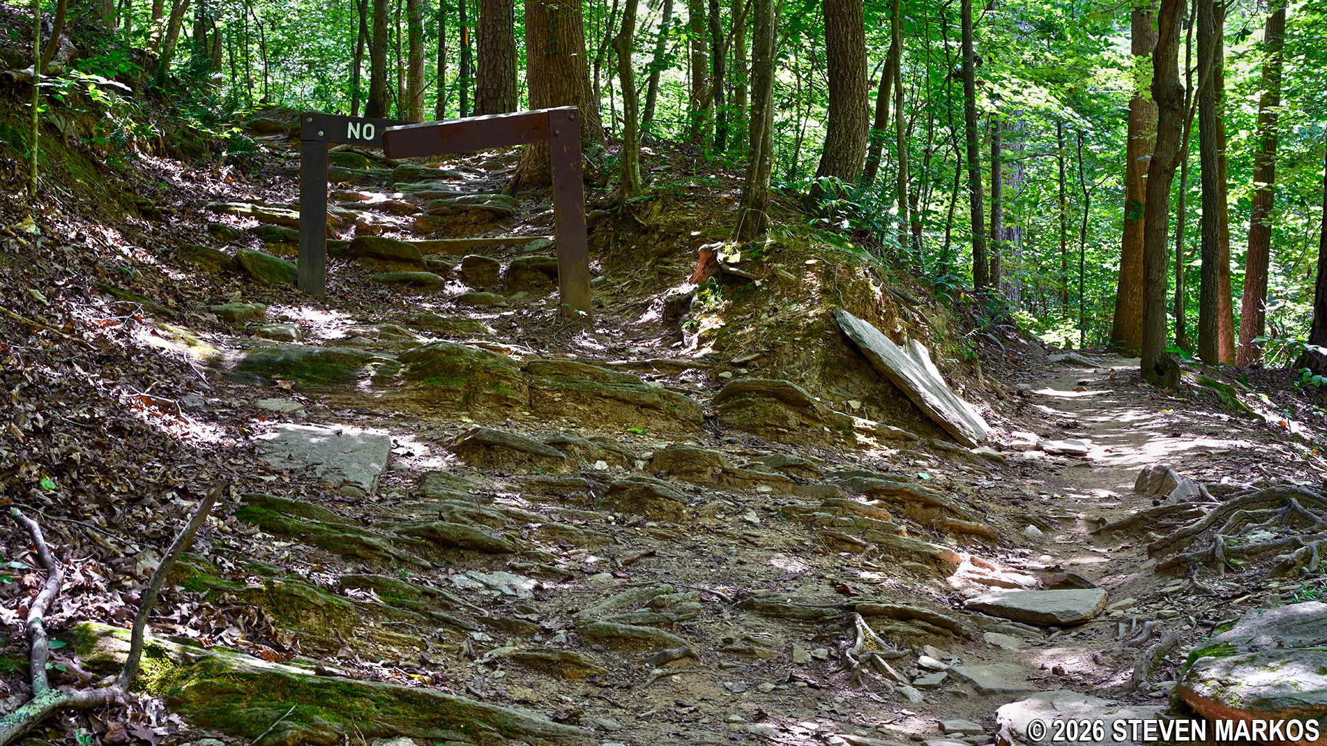
Intersection with the Hiker-Biker Trail to CS 16 (right) and the Hikers Only trail to CS 14 on the Columns Drive Loop Hike in the Cochran Shoals unit of Chattahoochee River National Recreation Area
The segment of trail from CS 15 to CS 14 is .4 miles long. The first .3 miles is uphill on rocky terrain and is moderate in difficulty, but by the time the trail reaches the actual intersection a tenth of a mile later, it has flattened out and is much smoother.
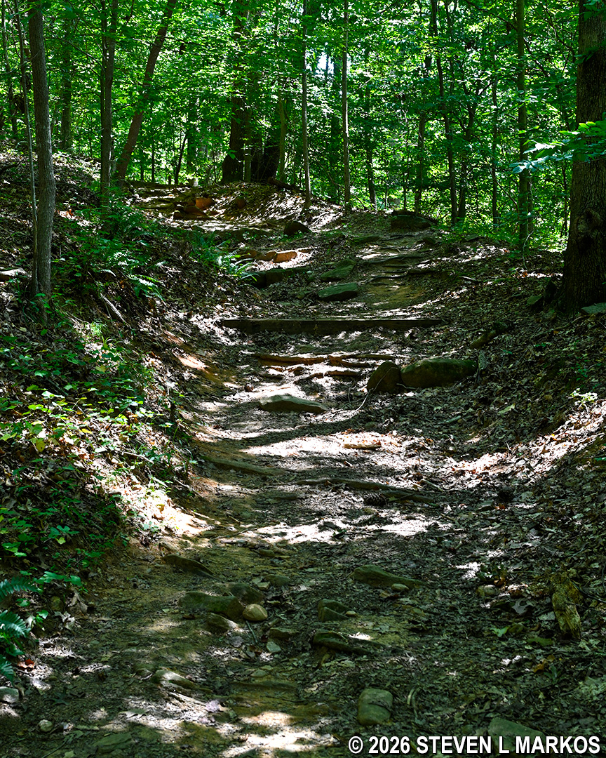
Typical terrain on the hilly section between intersections CS 15 and CS 14 on the Columns Drive Loop Hike in the Cochran Shoals unit of Chattahoochee River National Recreation Area
The trail forks at CS 14, so stay straight / left to get to the next destination, CS 8. A right leads to CS 13.
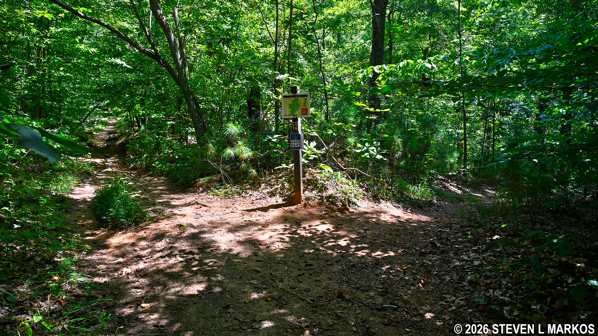
Intersection CS 14 on the Columns Drive Loop Hike in the Cochran Shoals unit of Chattahoochee River National Recreation Area
The terrain between CS 14 and CS 8 is relatively level. It does pass through a wet area, and a narrow boardwalk keeps hikers out of any mud that might linger after a rain storm. The terrain was dry when I did the hike.
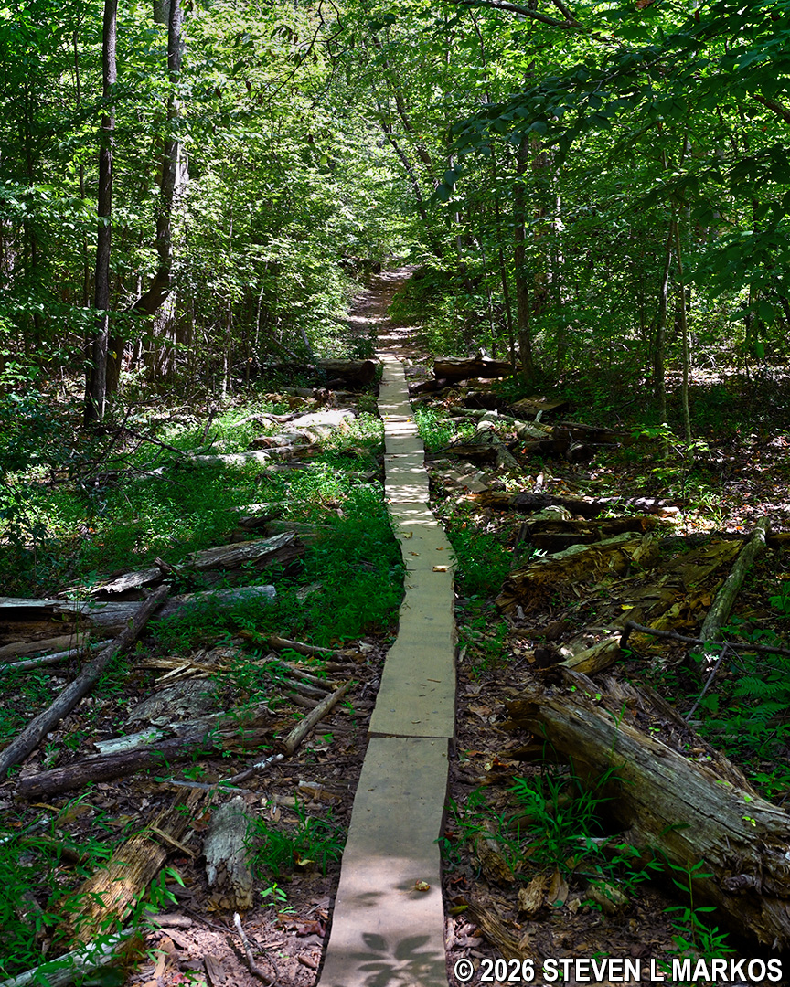
Boardwalk segment between intersections CS 14 and CS 8 on the Columns Drive Loop Hike in the Cochran Shoals unit of Chattahoochee River National Recreation Area
Intersection CS 8 comes 2.3 miles into the hike. Take a right towards CS 9, which isn’t but 100 yards away. An old family burial ground is at this intersection. There is one tombstone for Mary Andrews, who died in 1882, and a memorial to four other family members, with each side of the monument inscribed with different names, all from either the Andrews or Scribner family. A couple of field stones mark unknown graves.
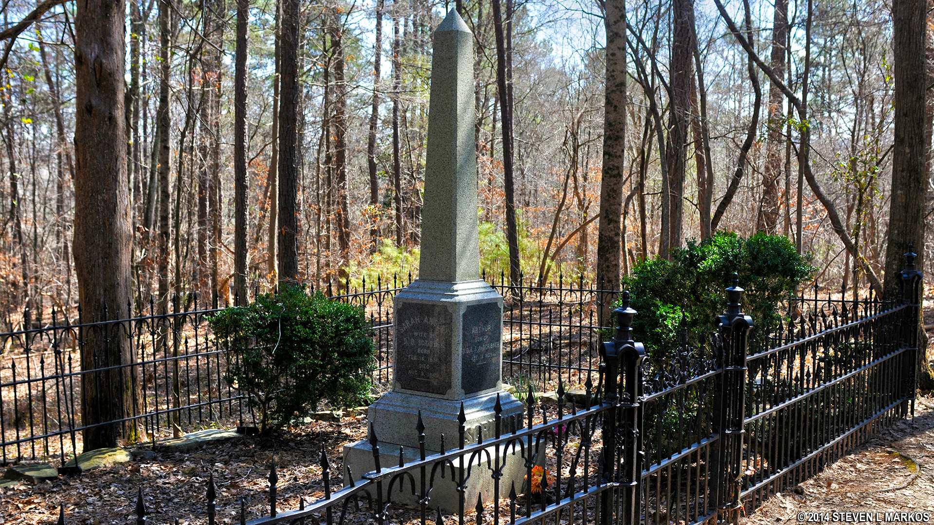
Scribner and Andrews family cemetery in the Columns Drive section of Chattahoochee River National Recreation Area
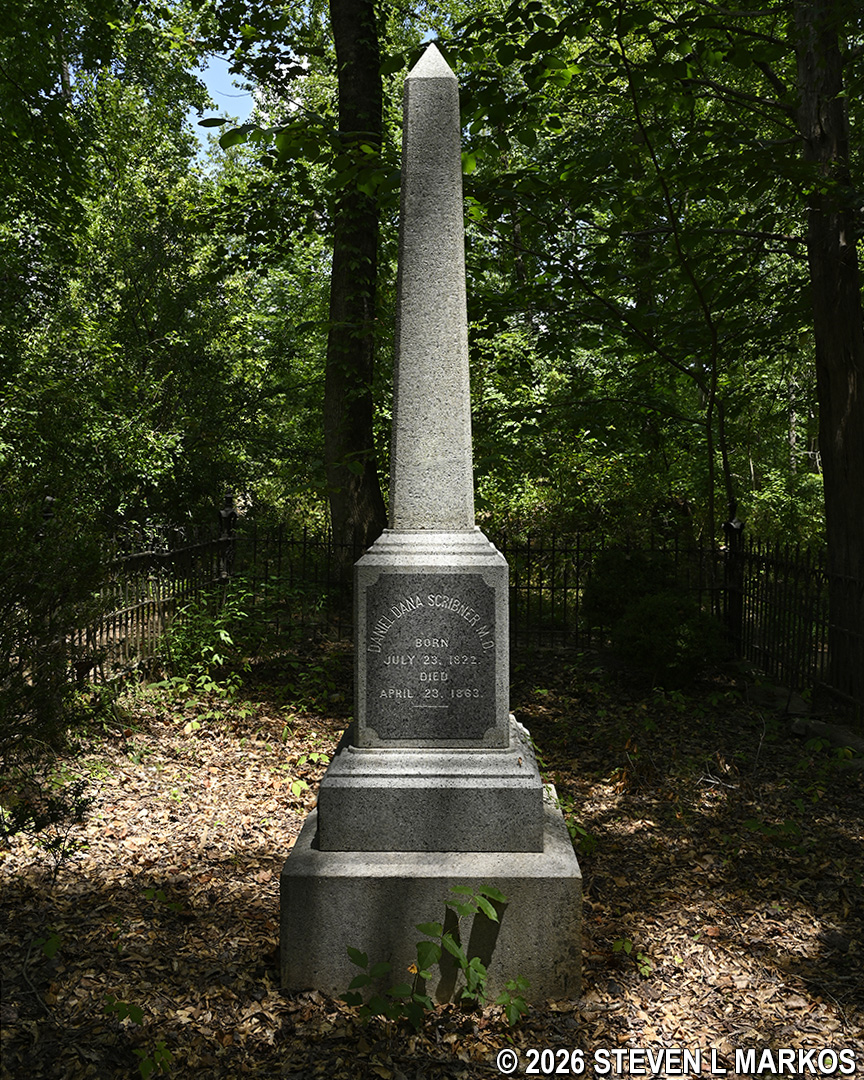
Scribner and Andrews family monument in a cemetery in the Columns Drive section of Chattahoochee River National Recreation Area
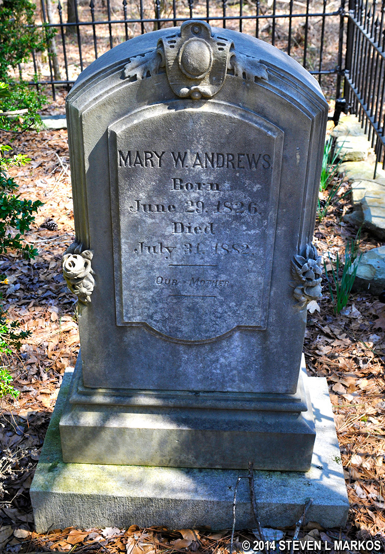
Grave of Mary Andrews (1826-1882) in a cemetery located in the Columns Drive section of Chattahoochee River National Recreation Area
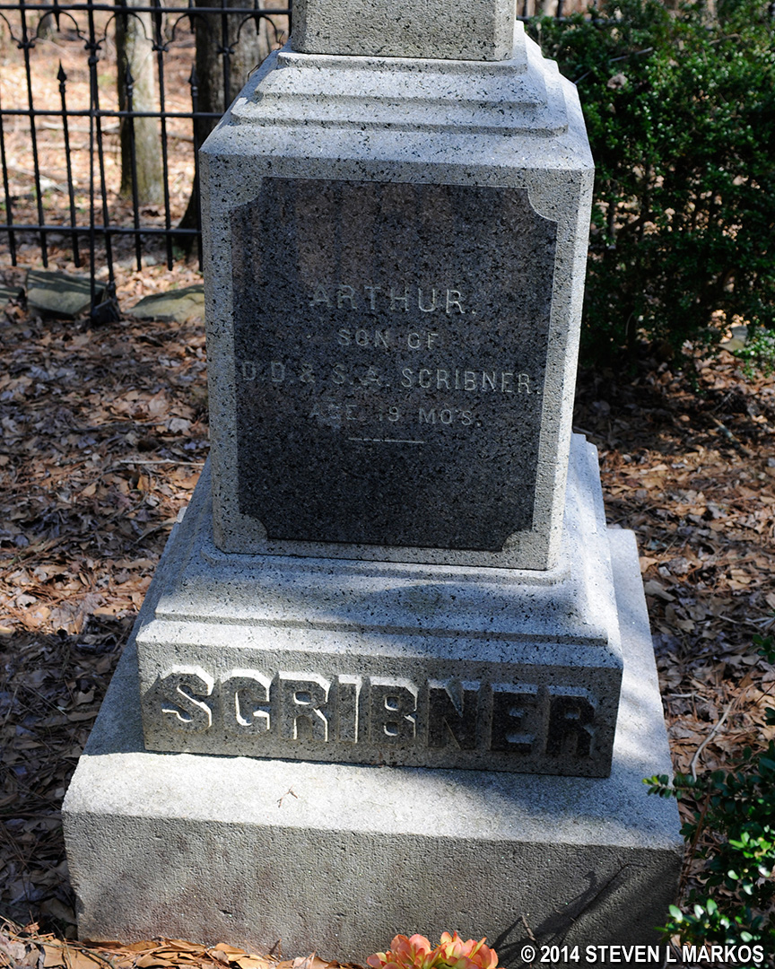
Memorial to Arthur Scribner, who died at 19 months old, in a cemetery located in the Columns Drive section of Chattahoochee River National Recreation Area
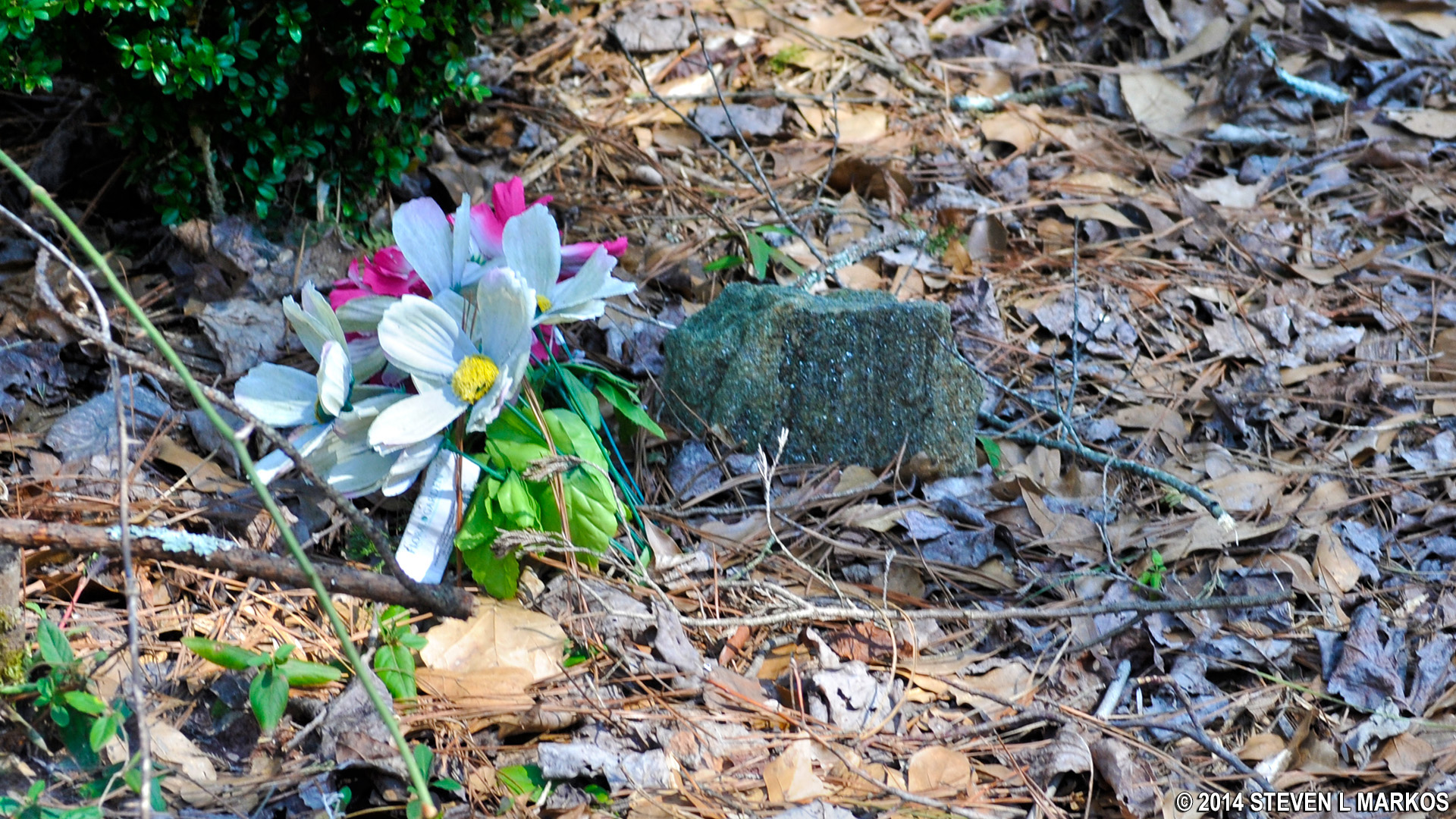
Fieldstone marks an unknown grave in the Andrews / Scribner Family cemetery located in the Columns Drive section of Chattahoochee River National Recreation Area
Once done at the cemetery, continue towards intersection CS 12, which crosses a Hiker-Biker trail, and stay straight towards CS 11. This entire stretch of trail, which is .3 miles long, is downhill. The slope, distance, and trail surface are pretty much the same as the uphill hike from CS 15 towards CS 14. There are some sections that are a little rougher and steeper than others, and some places are narrow, so be sure to check for ticks. There are also briers on the trail.
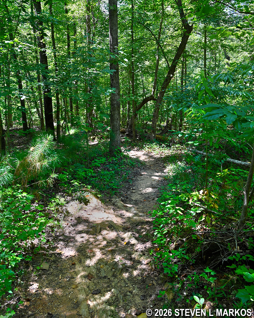
Typical terrain between intersections CS 9 and CS 12 on the Columns Drive Loop Hike in the Cochran Shoals unit of Chattahoochee River National Recreation Area
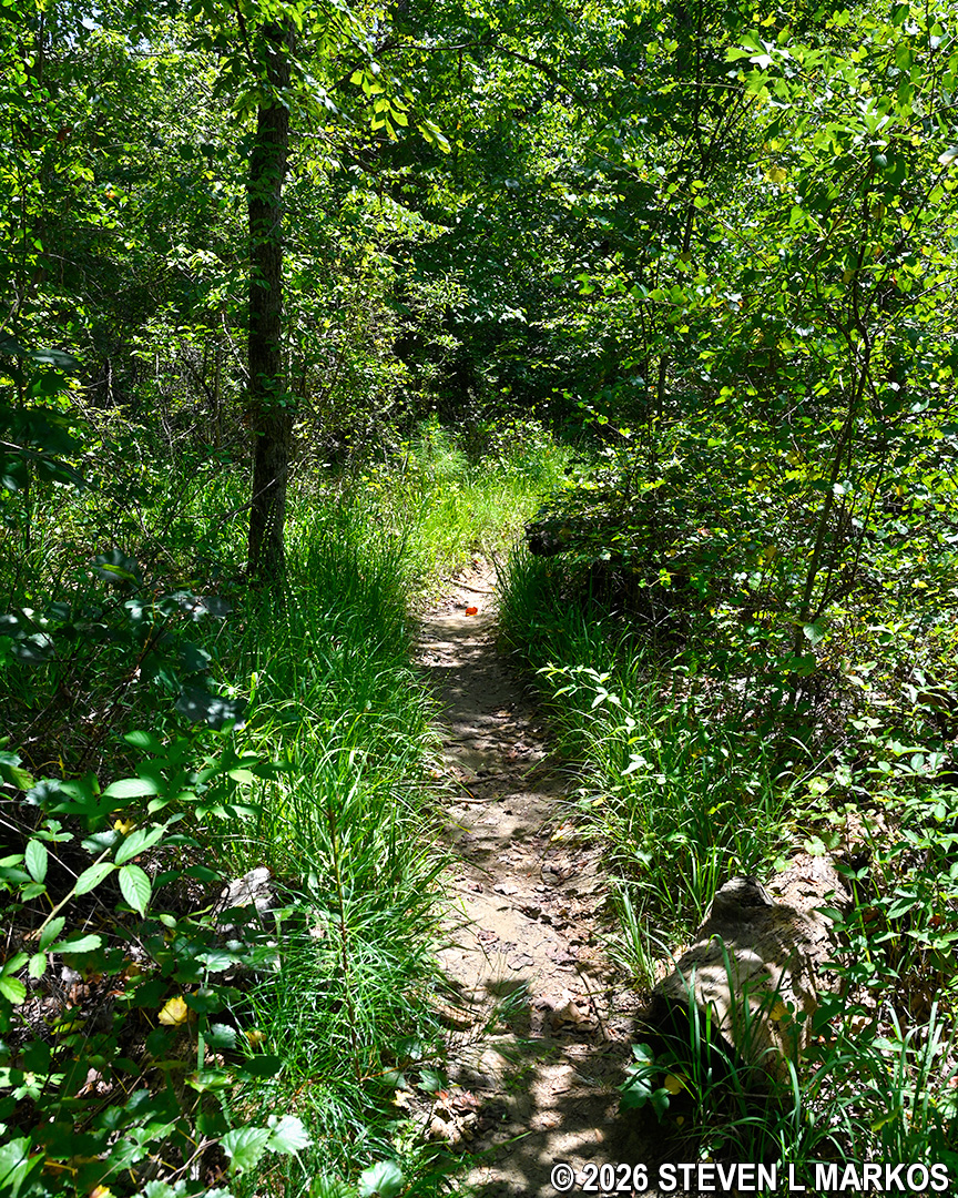
Narrow section of trail between intersections CS 9 and CS 12 on the Columns Drive Loop Hike in the Cochran Shoals unit of Chattahoochee River National Recreation Area
Once at CS 11 (2.6 miles into the hike), you will be back on the Fitness Trail. The parking lot is less than a tenth of a mile to the left.
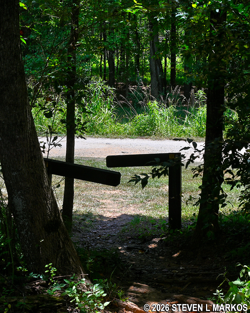
Intersection CS 11 at the Fitness Trail in the Columns Drive section of Chattahoochee River National Recreation Area
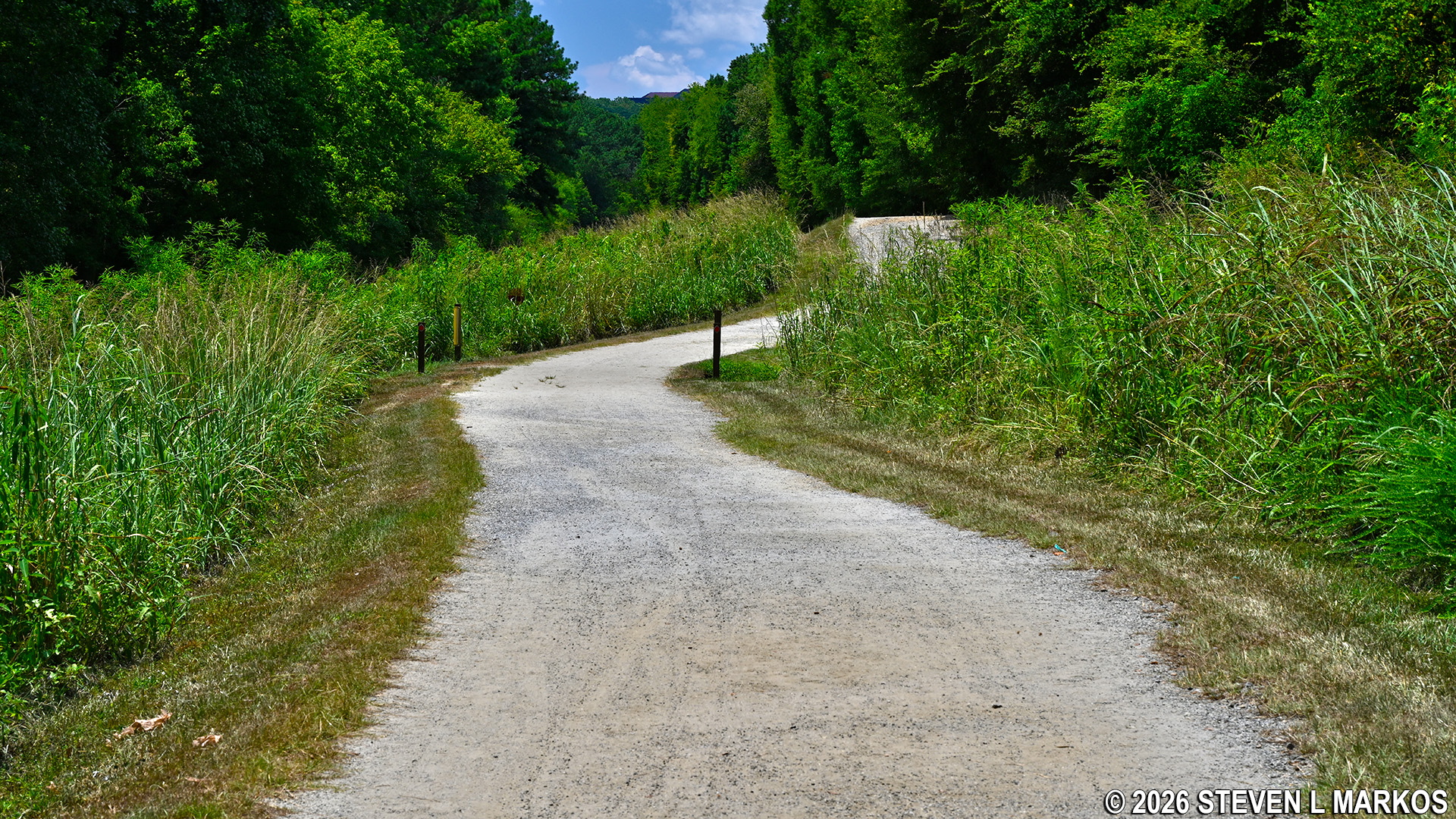
Cochran Shoals Fitness Trail in Chattahoochee River National Recreation Area
A number of other trails are in the area, allowing you to piece together your own hike of a custom length. There is nothing much of scenic beauty in the area, so realize that hikes at Columns Drive are for exercise purposes only. You will get a much better workout by walking the traditional hiking trails versus the Fitness Trail, if a good workout is what you are looking for.
With a few exceptions, use of any photograph on the National Park Planner website requires a paid Royalty Free Editorial Use License or Commercial Use License. See the Photo Usage page for details.
Last updated on July 18, 2026


