
Interstate North Hike (click to enlarge)
Interstate North Loop Hike
Length: approximately 3 miles
Time: 1.5 to 2 hours
Difficulty: moderately strenuous, hilly with very little flat sections
Download Cochran Shoals Interstate North Trail Map (PDF).
Hiking trails at the Interstate North section of Chattahoochee River National Recreation Area’s Cochran Shoals Unit crisscross the area. While you can always form your own hike to suit your time constraints, I have a suggested loop hike that stays within the Interstate North unit. You can easily combine this with my Columns Drive Loop Hike, or even continue on to the Sope Creek Loop Hike for a long hike that will fill the entire day.
From the Interstate North parking lot, the hike starts off on the gravel Fitness Trail with nice views of the Chattahoochee River and even crosses over a swamp, but the majority of the trail comes nowhere near the river and offers nothing in the way of scenery, so realize that most hikes at Interstate North are for exercise purposes only. You will get a much better workout by walking the hiking trails versus the Fitness Trail. The area is hilly, and a few of the trails offer 10-15 minute uphill climbs for those wanting to raise their heart rate. You won’t get that on the Fitness Trail.
The Fitness Trail—the majority of which is within the Columns Drive section of the park—is a flat, gravel road that is exposed to the sun, so be prepared on a sunny day. It is .5 miles until the trail enters the forest at intersection CS 21 (reference the above map).

Fitness Trail segment at the Interstate North section of Chattahoochee River National Recreation Area
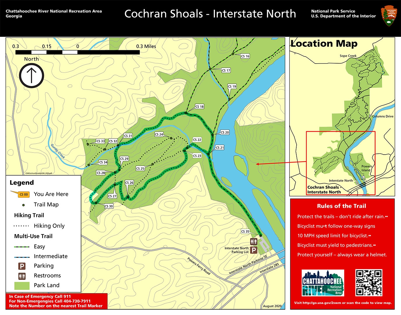
As mentioned, there are nice views of the Chattahoochee River along the Fitness Trail. This is the only section of the trails at Interstate North that is along the river.
Observation deck on the Fitness Trail overlooks the Chattahoochee River near the Interstate North parking lot, Chattahoochee River National Recreation Area
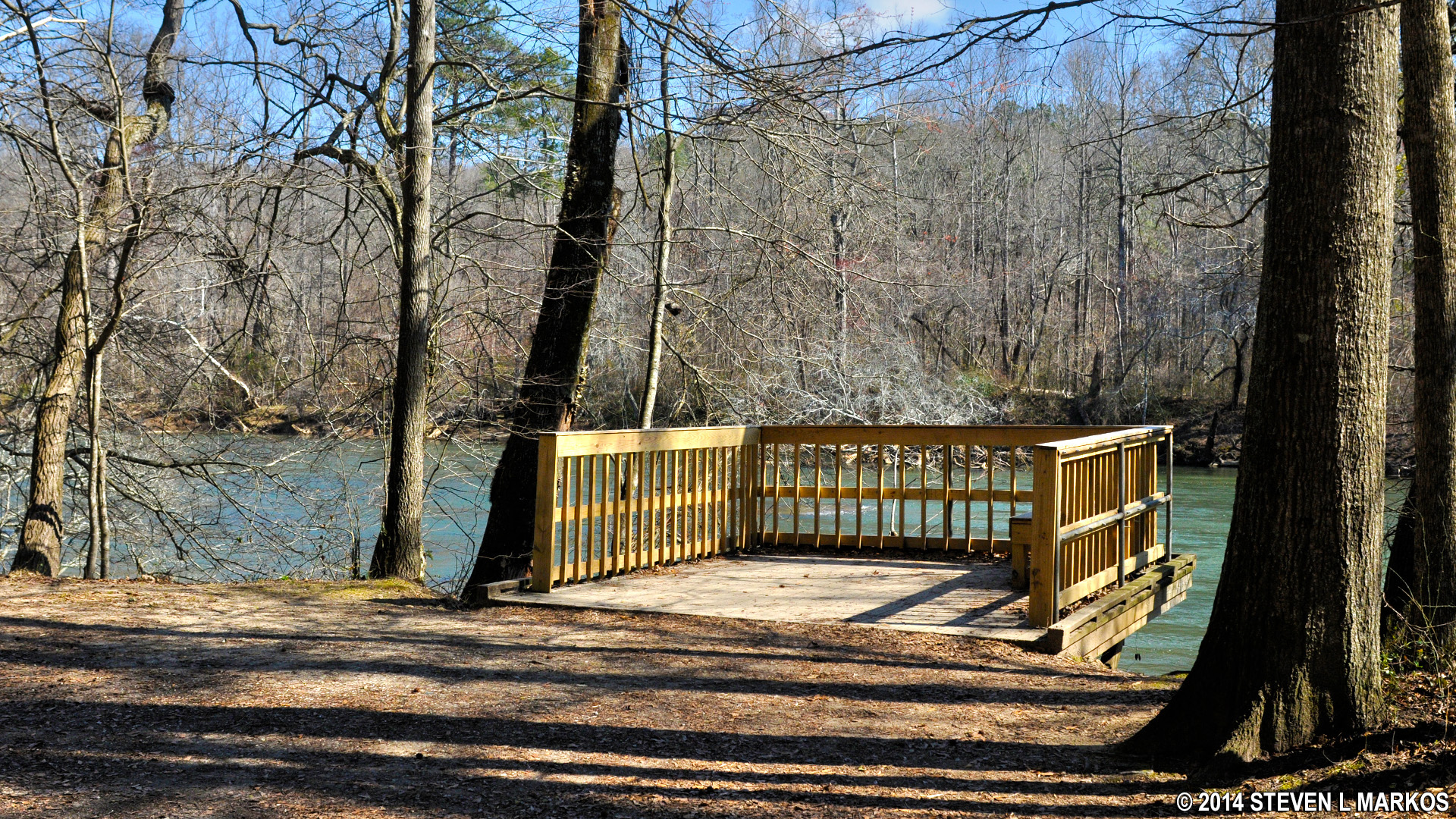
Take a left at intersection CS 21. The trail starts off on a boardwalk that elevates hikers above a swampy region. A wayside exhibit at the start discusses the wildlife in the area and makes the claim that there are alligators living here. I did not see any.

Intersection CS 21 in the Interstate North section of the Cochran Shoals Unit is the point where the loop hike enters into the woods, Chattahoochee River National Recreation Area
Swampy area near the CS 21 intersection of the Interstate North trails, Chattahoochee River National Recreation Area
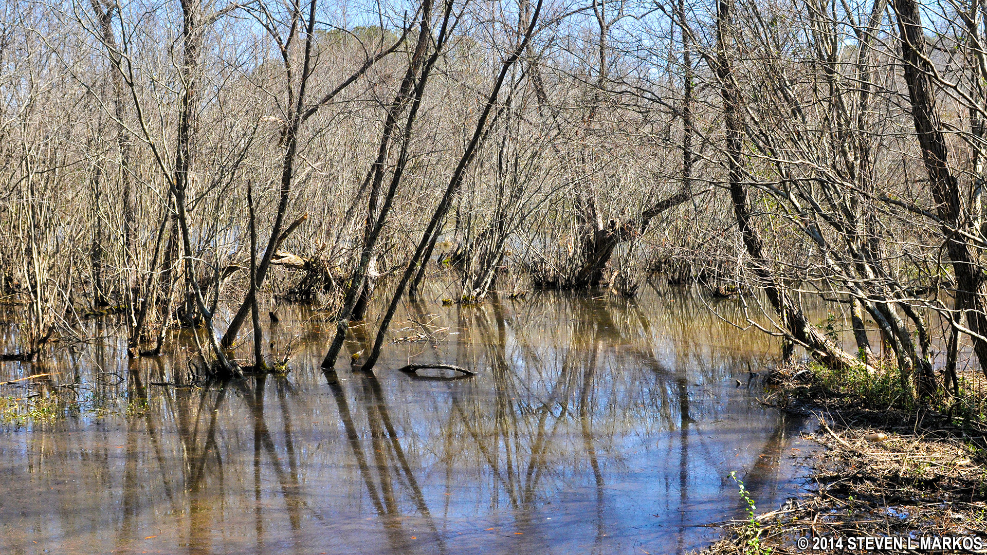
Stay straight when you come to intersection CS 22, then take a left at CS 23. The intersections are only a minute’s walk apart. The trail segment beginning at CS 23 is up hill nearly all the way to CS 26, a fifteen minute walk. At the time I wondered if maybe I should have hiked the trail in a counterclockwise direction, but for every uphill there is a downhill, and in the end it makes no difference which way you go around the loop. The trails in this area are hilly, and there’s not much you can do to avoid it.
Hilly terrain between intersections CS 23 and CS 26 in the Interstate North section of the Cochran Shoals unit, Chattahoochee River National Recreation Area
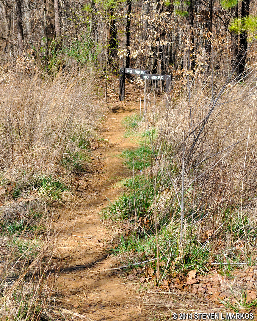
Take a left at CS 26 through the NO BIKES barriers and towards an office building, then take an immediate right down a steep hill towards another set of NO BIKES barriers. This segment of the trail will eventually come to intersection CS 27, though on the way it will zig and zag a time or two, and you may begin to wonder if you got off track.
Downhill hike from Intersection CS 26 to CS 27 on the Interstate North trail in Chattahoochee River National Recreation Area’s Cochran Shoals unit.
Once at CS 27, head towards CS 30 and a large office building.
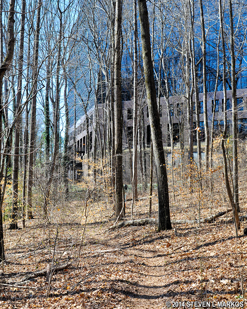
Office building near intersection CS 30 on the Interstate North trails in Chattahoochee River National Recreation Area’s Cochran Shoals unit.
At CS 30 the trail heads uphill and runs parallel to the office building, even passing the workers at the outdoor break area if you happen to walk past during working hours. You should reach intersection CS 28 in a little over 5 minutes.
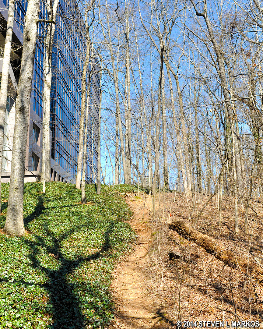
Trail at the Cochran Shoals / Interstate North section of Chattahoochee River National Recreation area between intersection CS 30 and CS 28 runs past an office building
From CS 28, stay straight to CS 29, a very short walk, then take a left towards CS 31. This path eventually crosses a small stream, Gunby Creek.
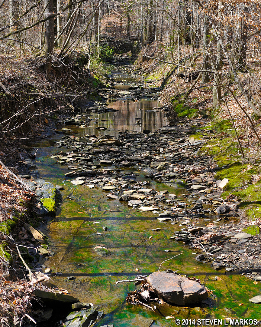
Gunby Creek in the Cochran Shoals / Interstate North section of Chattahoochee River National Recreation Area
The trail segment starting at CS 31 is one of the longest on the hike. It is also along this segment that you will come to the only confusing section of the hike. The trail starts off on a wide, flat trail, and it seems like this will be the terrain all the way to the next intersection. However, it eventually runs into a swamp, possibly becoming impassible even before the swamp. Be on the lookout for a much narrower trail that forks off to the left prior to the muddy area. This is the trail you need to take to get to the next intersection, CS 18.
Note: I was told by the National Park Service that this mud hole will eventually be closed. I assume the detour trail will be the new, main trail. Be aware that this work may have been done by the time you read this.
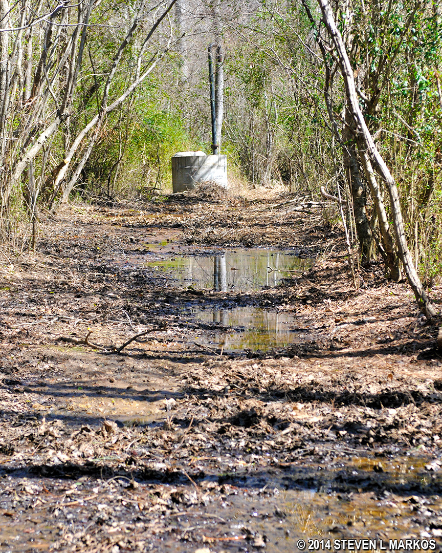
Trail between Intersections CS 31 and CS 18 in the Cochran Shoals / Interstate North section of Chattahoochee River National Recreation Area appears to run into a swamp
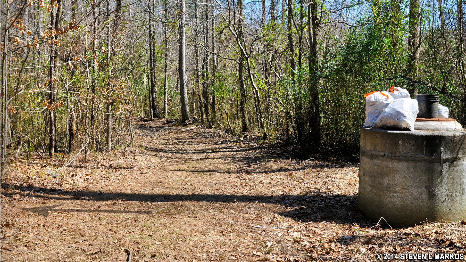
A detour around the swamp between intersections CS 31 and CS 18 in the Cochran Shoals / Interstate North section of Chattahoochee River National Recreation Area begins at a cement structure prior to the swamp
At CS 18 you are back on the gravel Fitness Trail. Continue to the left to hike into the Columns Drive section of the Cochran Shoals Unit, otherwise turn right to head back to the Interstate North parking lot.
With a few exceptions, use of any photograph on the National Park Planner website requires a paid Royalty Free Editorial Use License or Commercial Use License. See the Photo Usage page for details.
Last updated on May 11, 2024


