
Quarry Path Trail in Delaware Water Gap National Recreation Area
Length: .5 mile, one way
Time: 15 minutes
Difficulty: Moderate
The Quarry Path Trail is one of many trails in the Cliff Park section of Delaware Water Gap National Recreation Area. Located at the northern end of the park near Milford, Pennsylvania, this section takes its name from the Cliff Park Golf Course, the first golf course in America designed by a woman, Annie R. Buchanan. The National Park Service acquired the Cliff Park area when the land was donated by the Buchanan Family in 2003. The Buchanans owned the property since 1803, and the golf course has been around since 1913.
The Quarry Path Trail is not something you would set out to hike on its own. It runs between the Milford Knob Trail and the Cliff Trail, and it only makes sense to hike it as some sort of loop utilizing these trails. I hiked the Milford Knob Trail all the way to Milford Knob, then took the Cliff Trail out and back to Raymondskill Road, catching the Quarry Path on the way back. This report is written from the perspective of starting at the Cliff Trail and hiking northeast to the Milford Knob Trail.

Corrected trail map for the Cliff Park Area trails at Delaware Water Gap National Recreation Area (click to enlarge)
If you do hike the Quarry Path from its northeastern end starting at the intersection with the Milford Knob Trail, it is easy to find. The intersection is a mile from the parking lot, and while the trail map makes it look as if the intersection is a fork, the Milford Knob Trail actually dead ends at a T-intersection. There is a sign post with directional arrows, but it does not provide trail names. That’s why it is good to know that the route of the Milford Knob Trail is marked with green blazes and the Quarry Path with green and white blazes. Blazes are paint splotches on trees or rocks that you follow like Hansel and Gretel breadcrumbs. The post has a green blaze and an arrow pointing to the right, the Milford Knob Trail, and a green and white blaze and an arrow pointing to the left, the Quarry Path.

Intersection of the Milford Knob and Quarry Path trails in the Cliff Park section of Delaware Water Gap National Recreation Area
Finding the Quarry Path trailhead at the Cliff Trail intersection is a little more complicated. First off, the National Park Service trail map isn’t even in the ballpark when it comes to accuracy, so you’ll need the corrected map (above) here on National Park Planner. Trails in red are those completely omitted from the official map, and I corrected the routes of a few other trails.
If you are hiking southwest from Milford Knob, the Cliff Trail dead ends at a T-intersection, and according to the government-issued map, this is the Quarry Path. It is not. A left-pointing arrow and two white blazes painted on a tree that stairstep to the left indicate that the Cliff Trail turns to the left (white blazes mark the Cliff Trail). Where the trail to the right leads, I do not know.
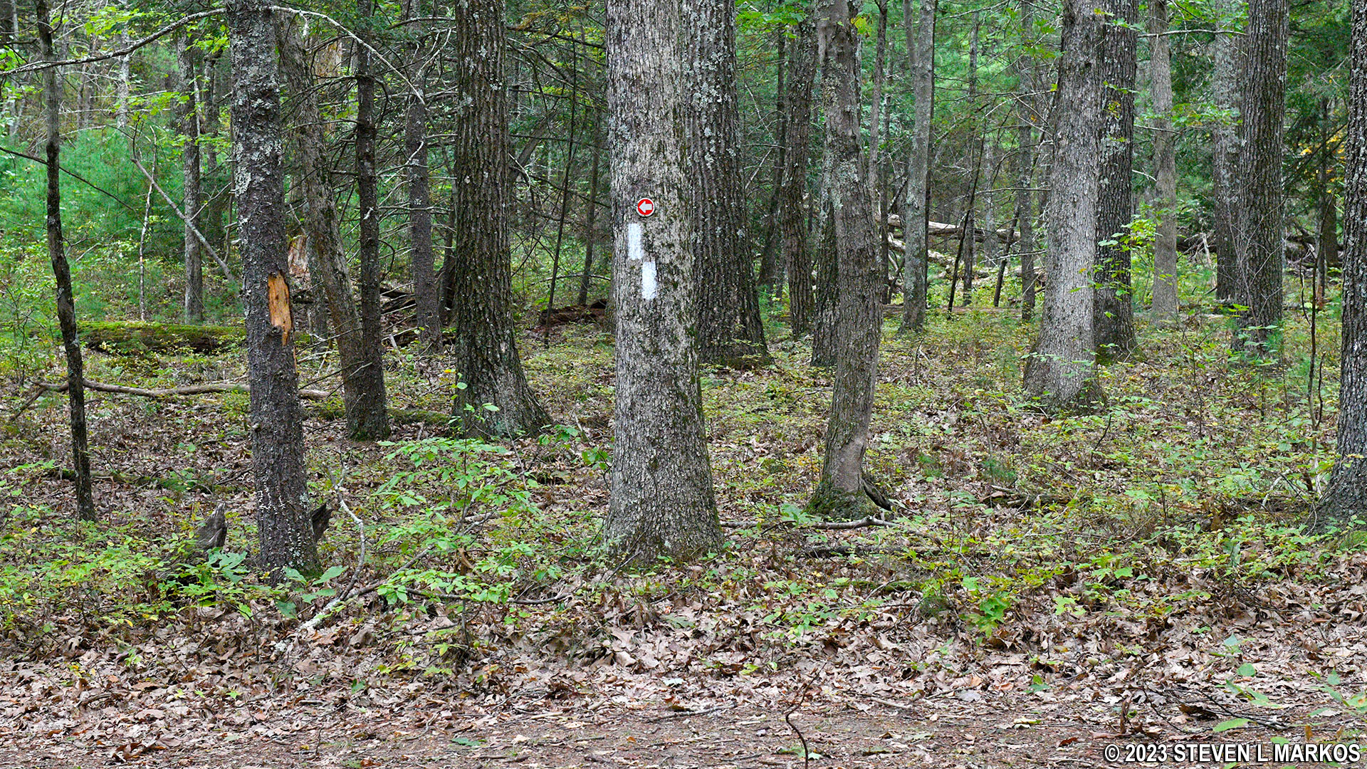
Unmarked intersection near the Cliff Trail / Quarry Path intersection in Delaware Water Gap National Recreation Area
No sooner do you make the turn to the left than you come to another intersection, this time with the Quarry Path. In addition to two white blazes on a tree that stairstep to the right, there is a directional sign with a white dot and an arrow to the right, both indicating a right turn for the Cliff Trail. The post also has a green dot with white in the center and an arrow to the left, which indicates the turn for the green and white blazed Quarry Path.
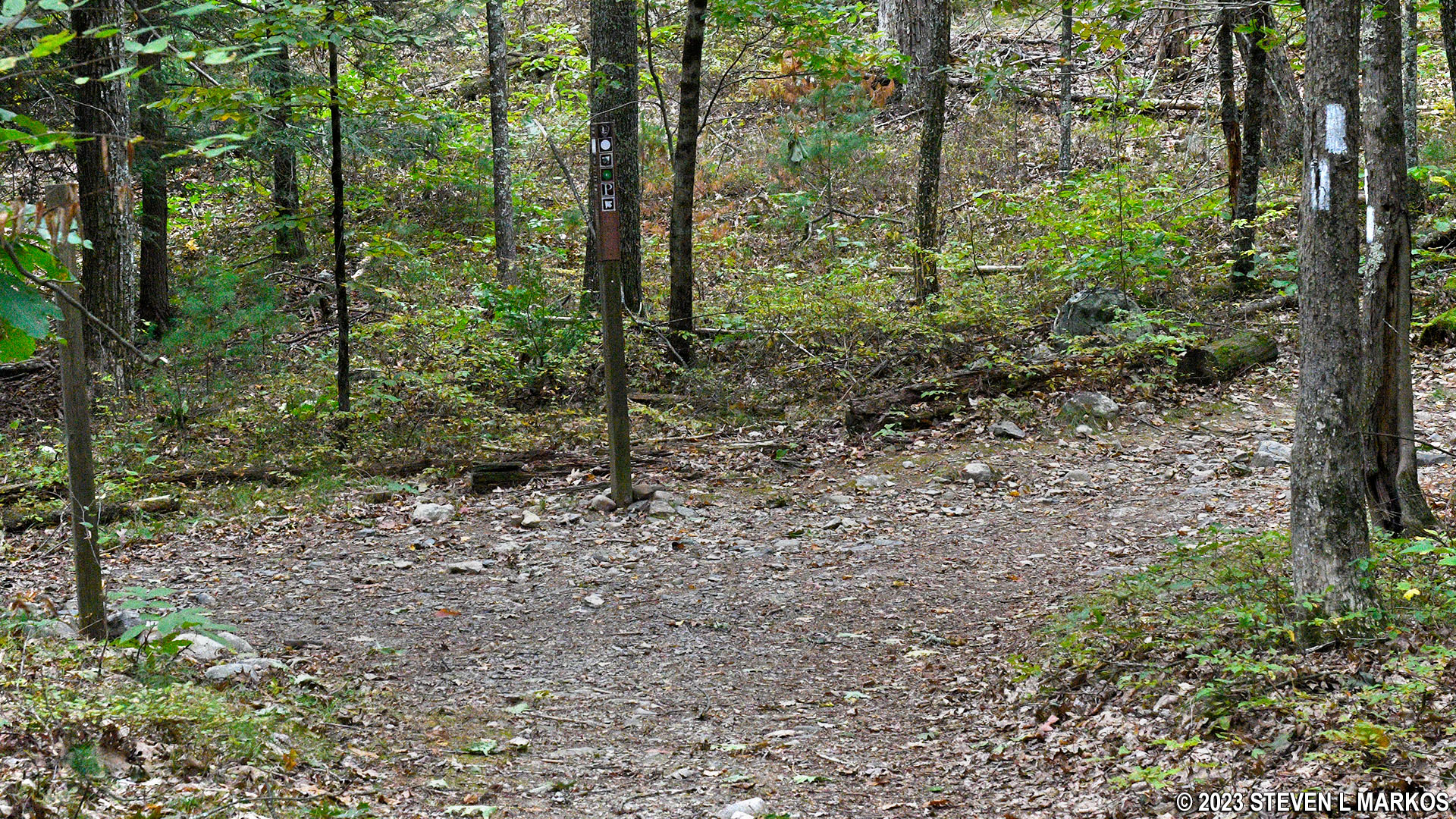
Intersection of the Cliff Trail and Quarry Path in the Cliff Park section of Delaware Water Gap National Recreation Area
Trail sign at the intersection of the Cliff Trail and Quarry Path, Delaware Water Gap National Recreation Area
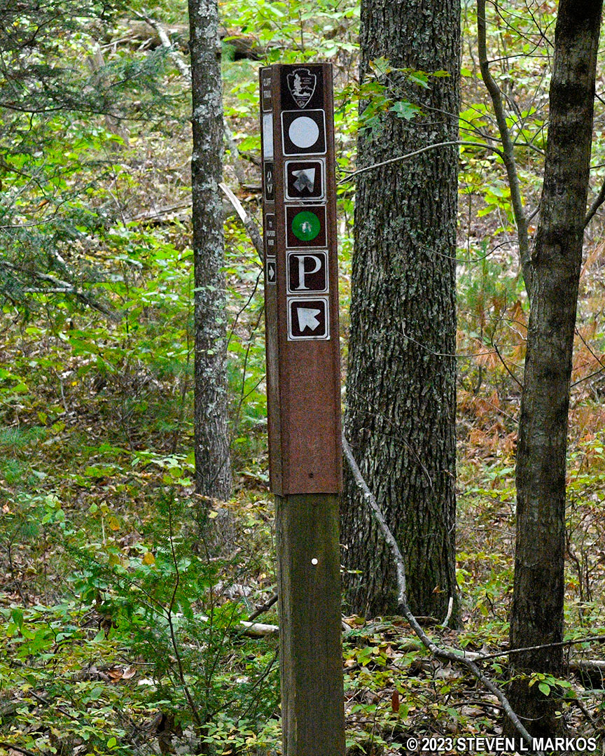
Finding the Quarry Path when hiking northeast on the Cliff Trail from Raymondskill Road is simple. When you come to the same trail sign with the green and white dot, just follow the direction the arrow is pointing—straight ahead. You must take a left to continue on the Cliff Trail.

Start of the Quarry Path Trail at the intersection with the Cliff Trail, Delaware Water Gap National Recreation Area
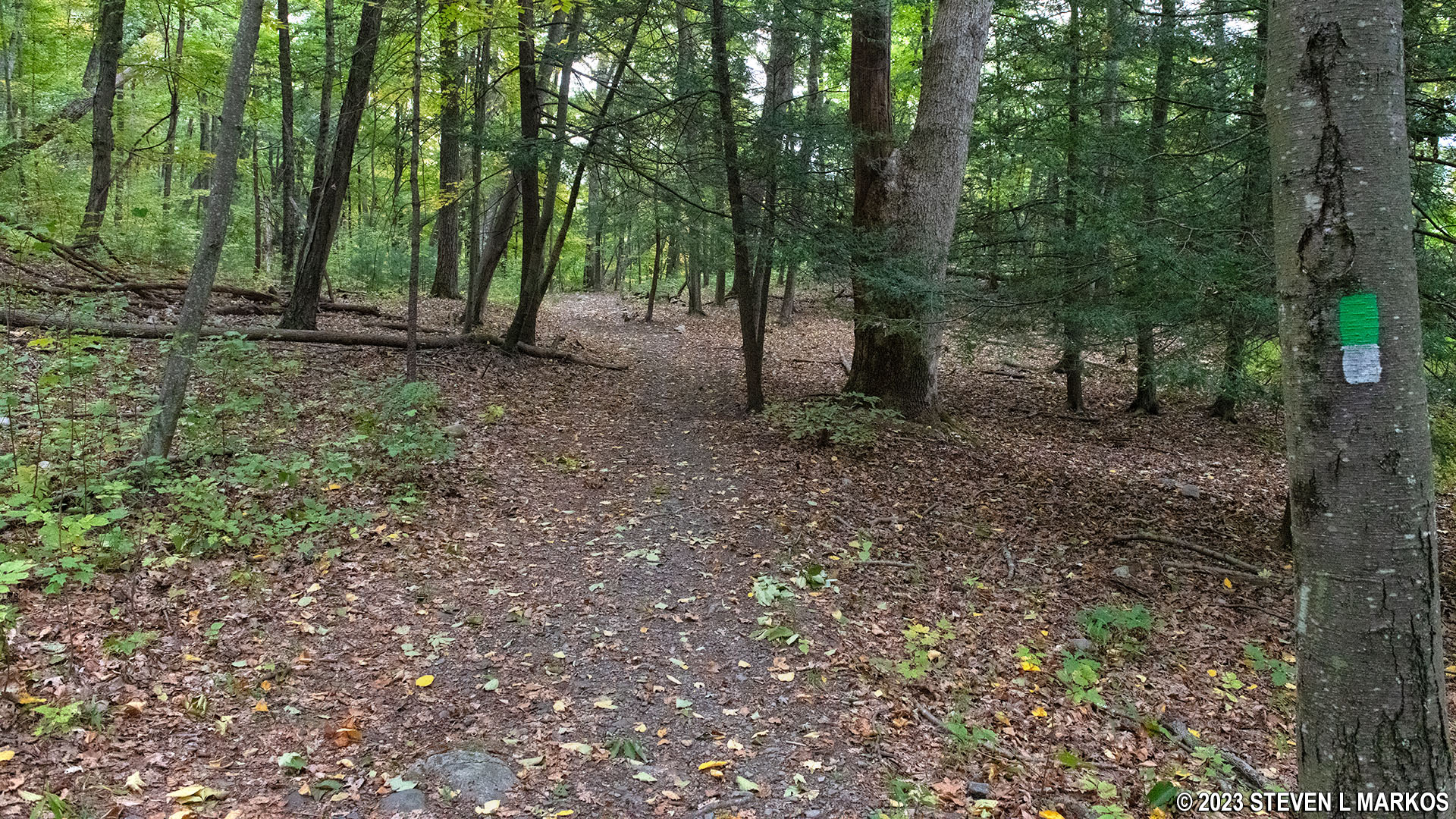
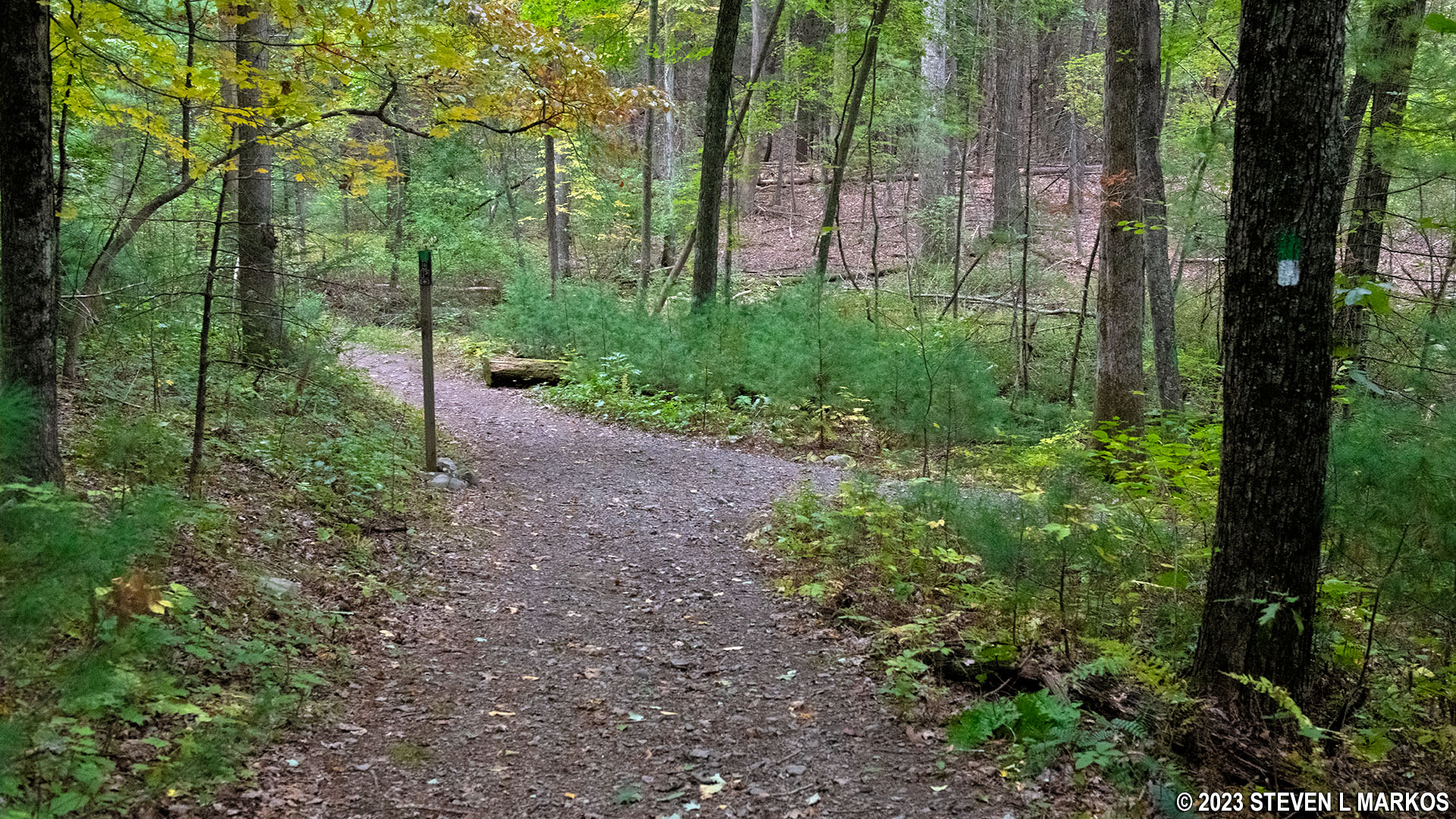
As for the trail itself, from the start of the hike at the Cliff Trail intersection, the Quarry Path Trail is all downhill for the first third of a mile. The grade averages -13%, and most hikers agree that strenuous hiking starts at -15% (a minus before the grade percentage indicates a downhill slope). I have bad knees, so hiking downhill is worse than going uphill for me.

Typical terrain of the Quarry Path Trail at Delaware Water Gap National Recreation Area
The next tenth of a mile is flat, and then the last tenth heads back downhill (-12% grade) until the trail ends at the Milford Knob Trail intersection. Take a right to get back to the parking lot. There’s not much more to it.
Intersection of the Quarry Path and Milford Knob Trail in Delaware Water Gap National Recreation Area
With a few exceptions, use of any photograph on the National Park Planner website requires a paid Royalty Free Editorial Use License or Commercial Use License. See the Photo Usage page for details.
Last updated on January 16, 2024


