
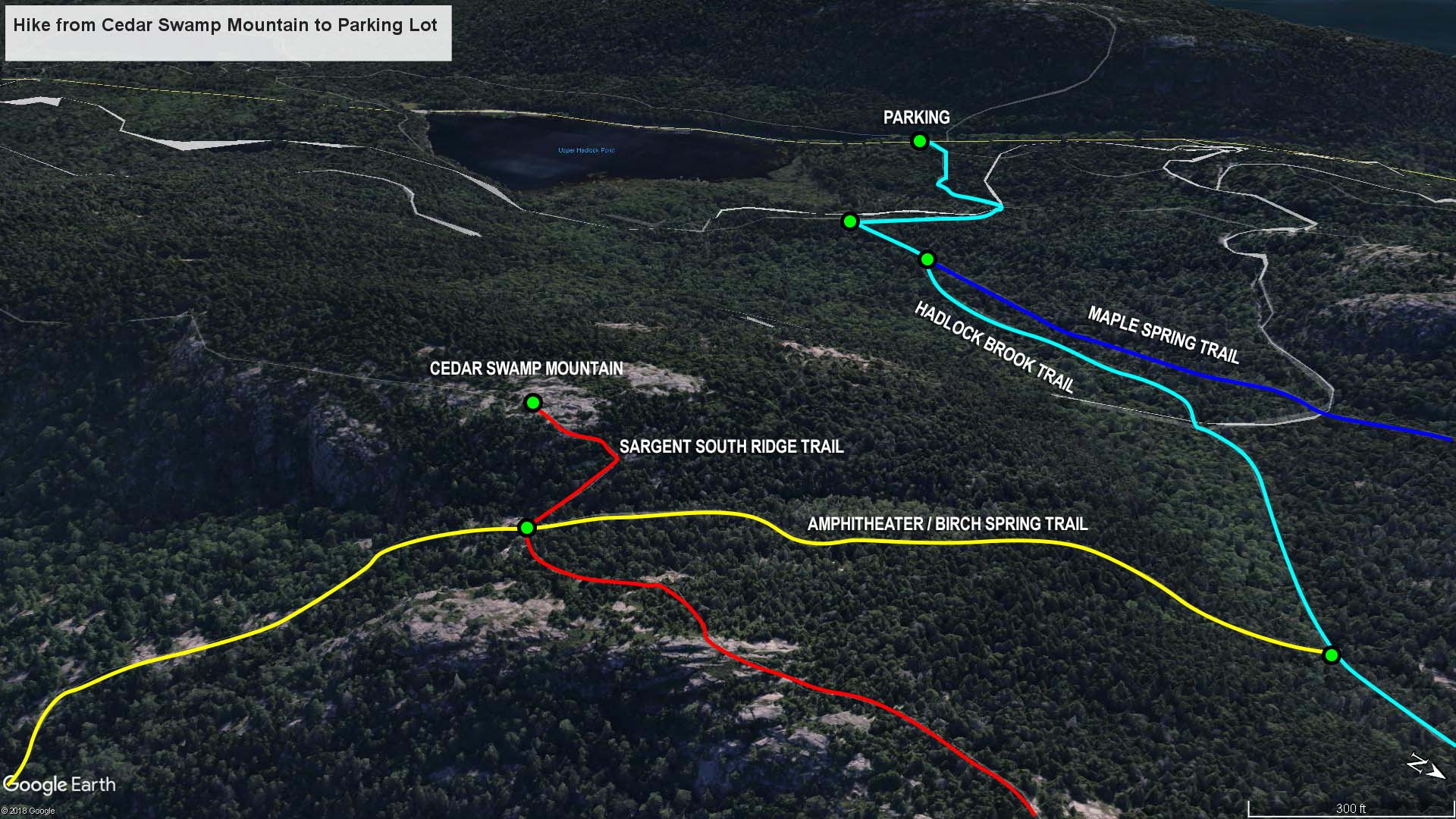
Cedar Swamp Mountain to Parking Lot trail map (click to enlarge)
The last leg of the journey on my hike to the summit of six mountains in Acadia National Park is the trip back to the parking lot from the top of Cedar Swamp Mountain. See the Six Mountain Summit Hike web page for details on the previous segments of the hike.
Length: 1.7 miles
Time: 1.5 hours
Difficulty: Moderate
When you reach the summit of Cedar Swamp Mountain you will have hiked five miles. This is the final summit, so it is now time to return to the parking lot on Highway 3. To do so, first hike back to the intersection of the Sargent South Ridge and Amphitheater trails. Most maps show this to be a three-way intersection with the Sargent South Ridge, Amphitheater, and Birch Spring trails, but the Birch Spring Trail, which supposedly leads north to the Hadlock Brook Trail, is not mentioned on the sign at the intersection. Instead, the Amphitheater Trail is shown to head both north and south. Regardless of names, you want to hike to the Hadlock Brook Trail, and the way to go is pointed out on the sign.
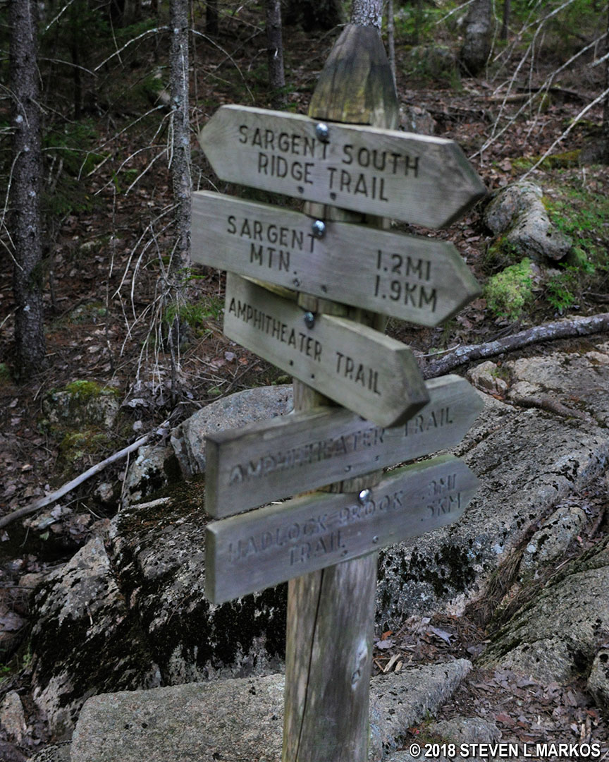
Sign at the intersection of Sargent South Ridge and Amphitheater trails in Acadia National Park
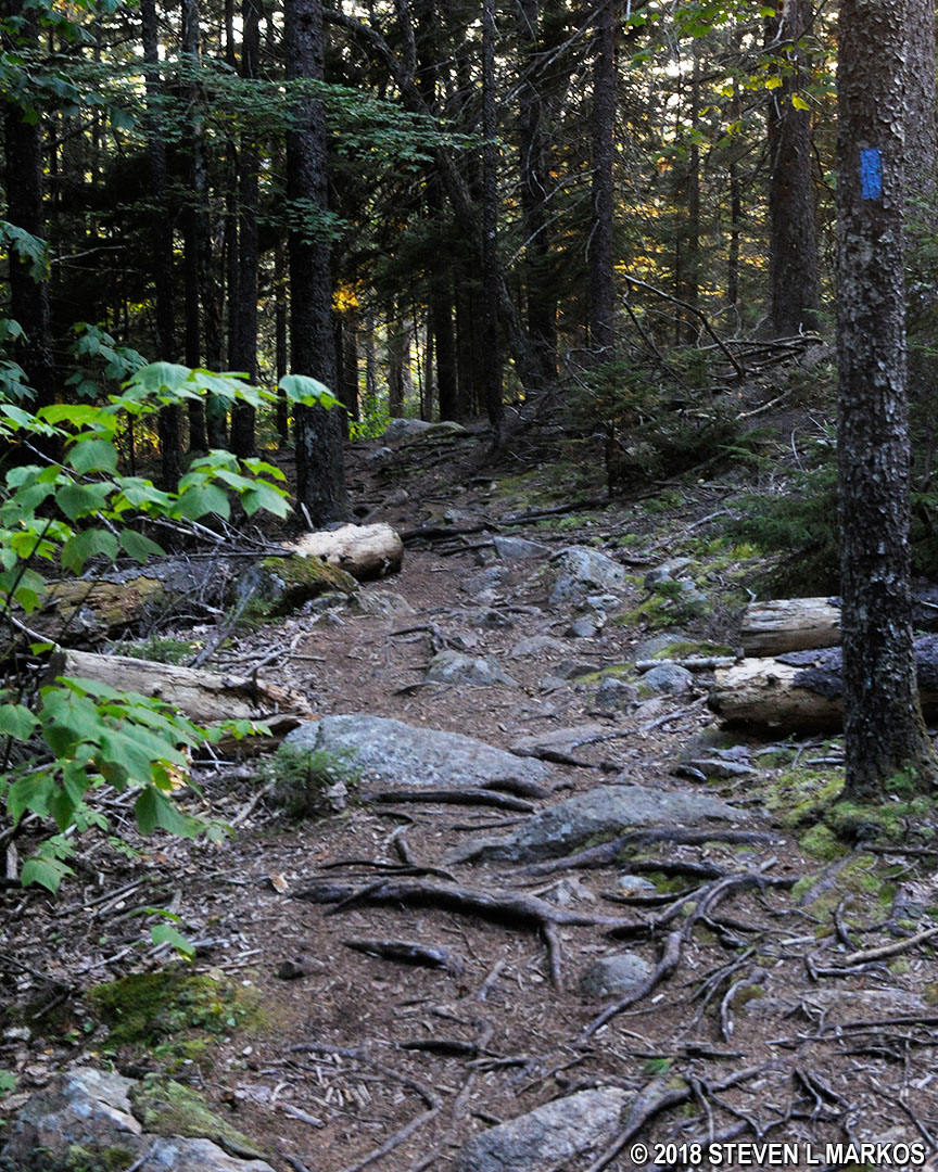
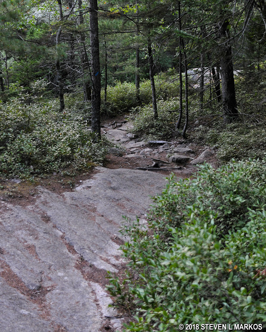
The hike to the Hadlock Brook Trail is .3 mile. For the first two tenths of a mile the terrain is relatively flat, but the trail is full of rocks and roots that keep progress to a minimum. The last tenth of a mile, however, drops 100 feet, which is very steep by anyone’s standards.
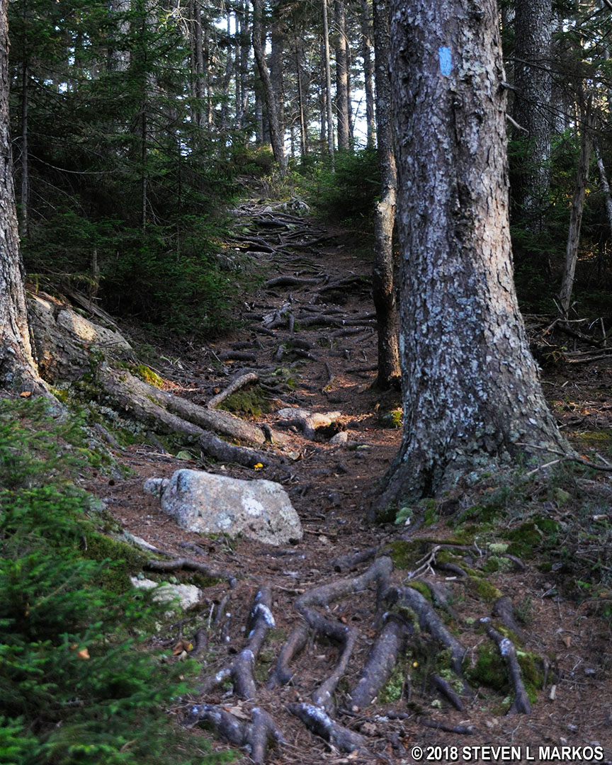
Typical terrain on the Birch Spring / Amphitheater Trail in Acadia National Park
A sign marks the intersection with the Hadlock Brook Trail. You’ll want to head in the direction of Route 198 (Hwy 3), the road where the parking lot is located.
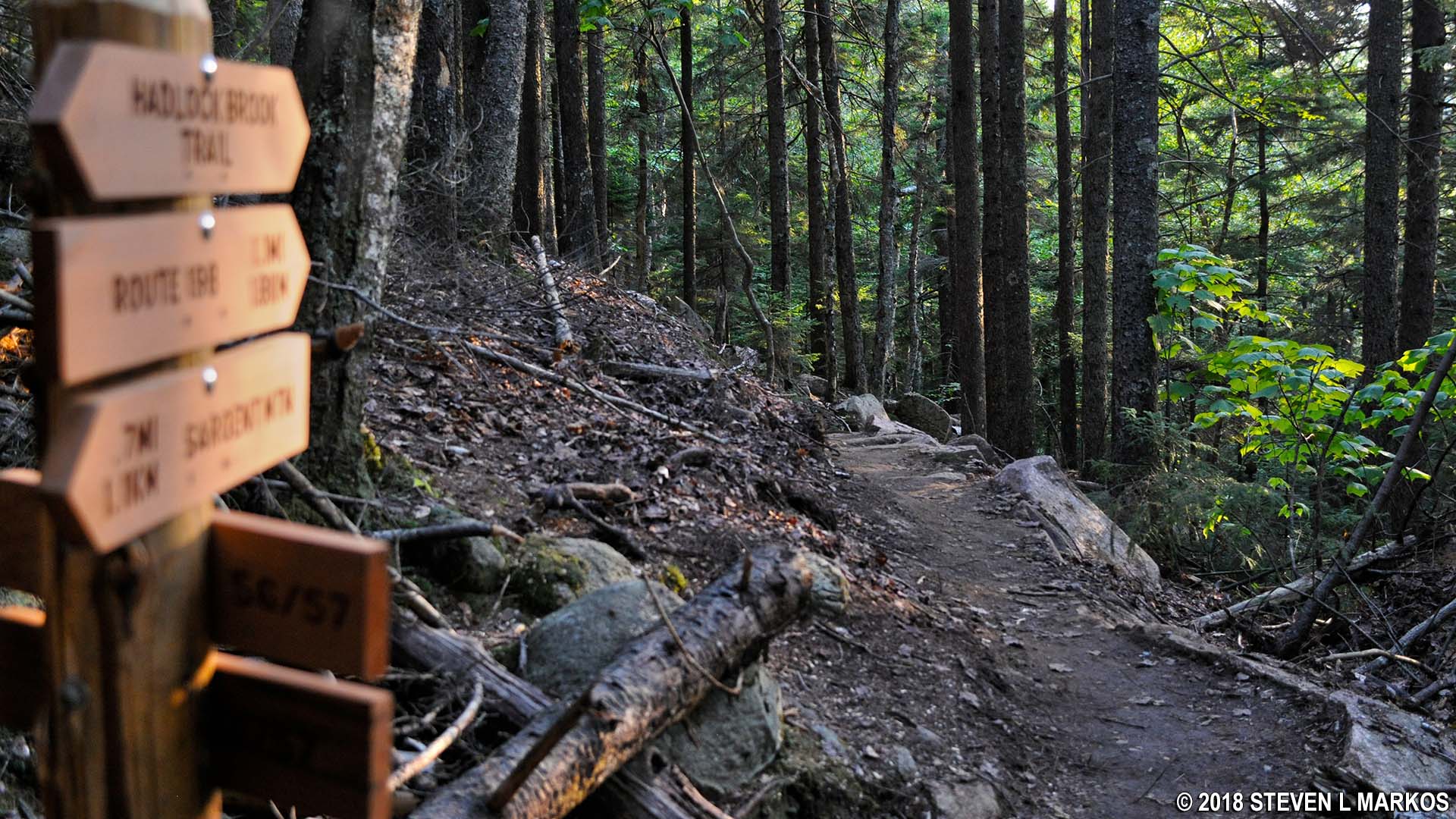
Start of the Hadlock Brook Trail in Acadia National Park
The good news is that from here on out the trail makes a gradual descent to the parking lot, making it the easiest section of the hike, cardiovascular-wise. The bad news is that the first .3 mile is across terrain full of rocks and python-size roots, so you must hike very slowly to avoid twisting an ankle.
Typical terrain at the start of the Hadlock Brook Trail in Acadia National Park
At .3 mile from the intersection is Hadlock Brook. A bonus is that you get to see one of the bridges built by John D. Rockefeller Jr. between 1913 and 1940 for his system of carriage roads. This is Waterfall Bridge, and it was completed in 1925. In the rainy season, Hadlock Brook forms a waterfall that can be seen through the bridge’s arch. Unfortunately, there was no waterfall when I visited in late August; spring is the best time to see it.
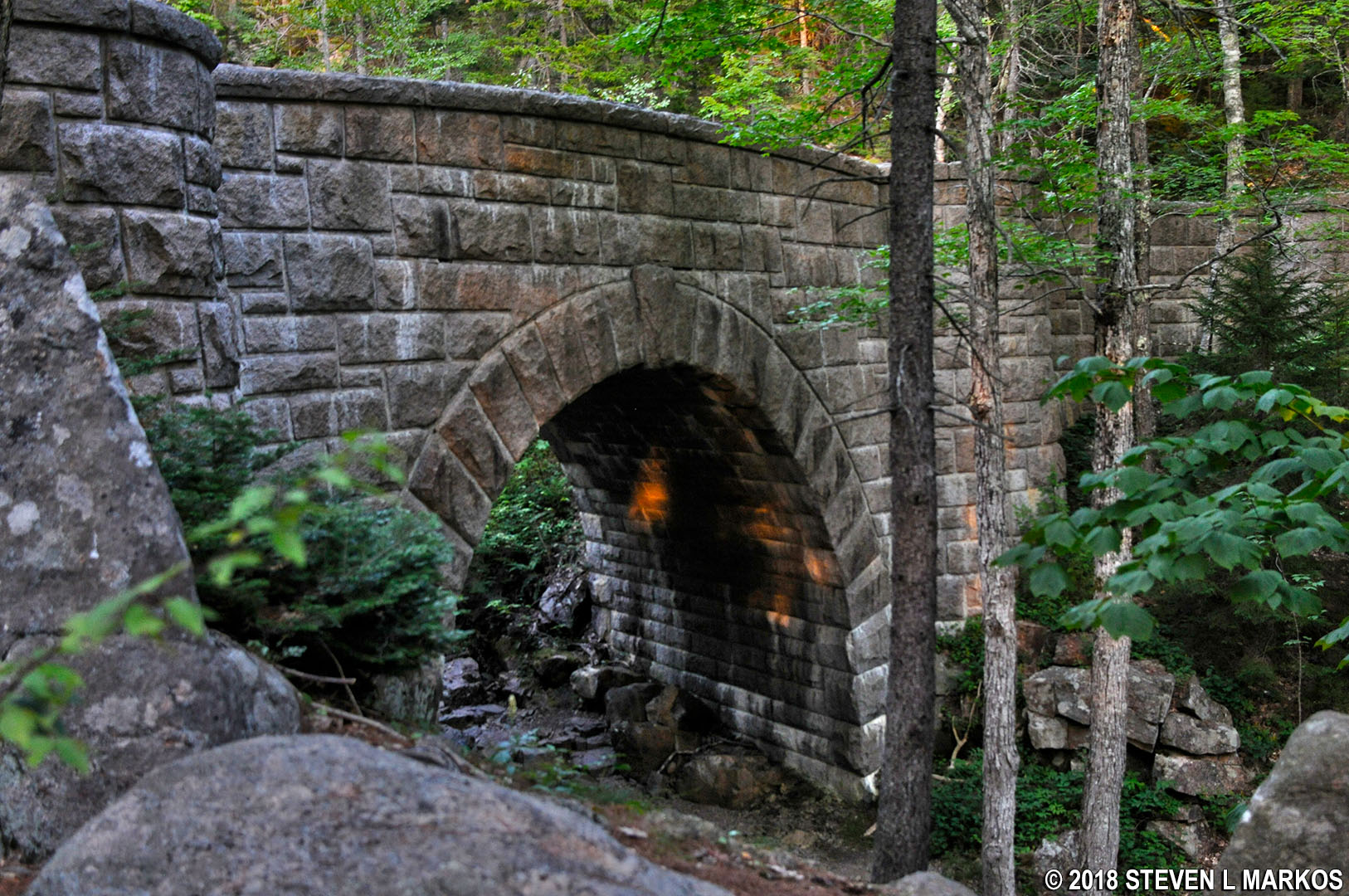
Waterfall Bridge in Acadia National Park
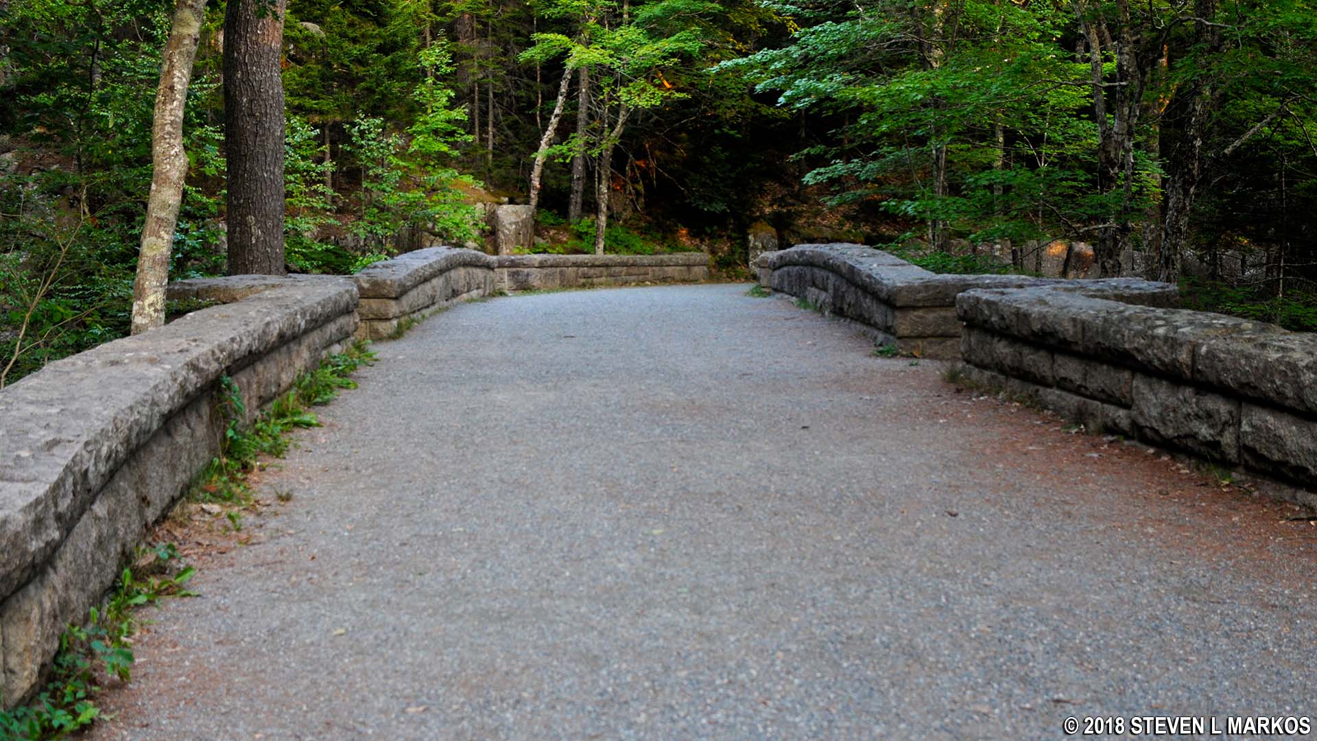
Carriage road crosses Hadlock Brook by the Waterfall Bridge, Acadia National Park
After the bridge, the next point of interest is the intersection with the Maple Spring Trail. This .4-mile segment is the easiest on the Hadlock Brook Trail, for the downward slope remains negligible and the trail surface is much smoother.
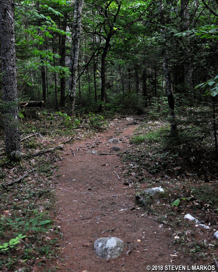
Typical terrain from Waterfall Bridge to the Maple Spring Trail intersection, Acadia National Park
Continue following the signs to Route 128 Parking. In .2 mile past the Maple Spring Trail, you will come to the intersection with the Hadlock Pond Trail, a trail that leads south past Upper and Lower Hadlock ponds. Take a right at the intersection, and in another tenth of a mile you will be back at the Bald Peak Trail where the loop hike began. From here, the parking lot is just an easy .2 mile away. In all, you will have hiked 6.7 miles.
Typical terrain between the Hadlock Pond and Bald Peak trails intersection, Acadia National Park
With a few exceptions, use of any photograph on the National Park Planner website requires a paid Royalty Free Editorial Use License or Commercial Use License. See the Photo Usage page for details.
Last updated on August 15, 2023


