
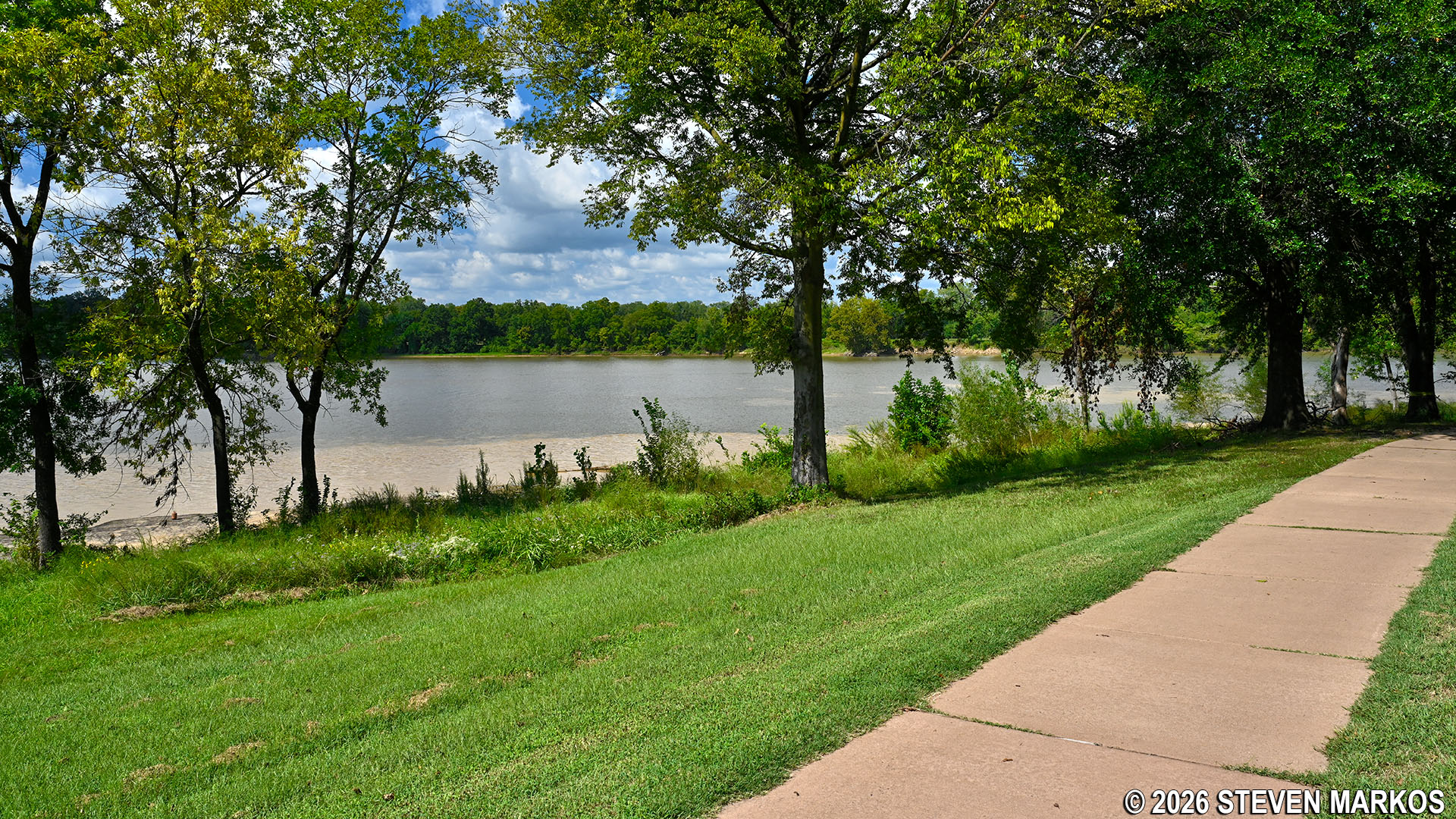
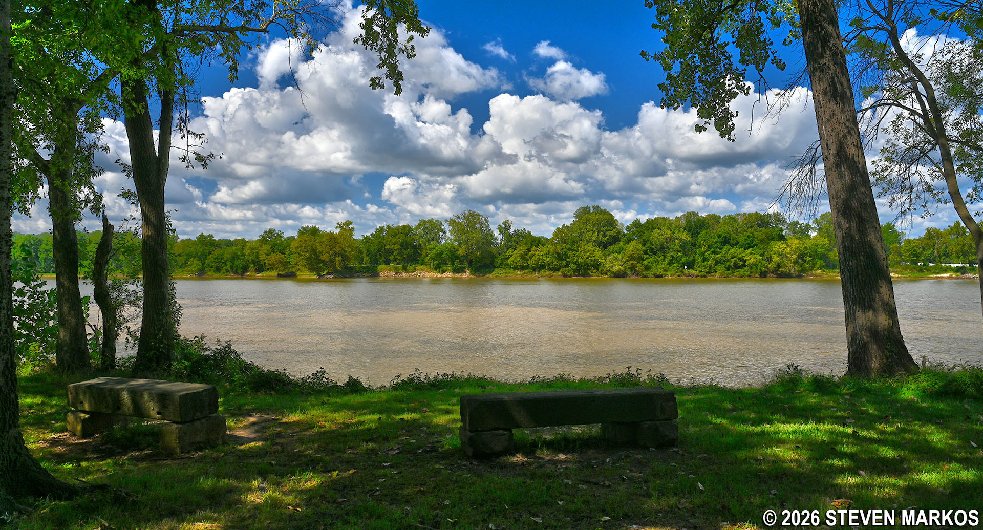
View of the Arkansas River from the River Loop Trail at Fort Smith National Historic Site
Length: 1-mile loop
Time: 30 to 45 minutes
Difficulty: ★☆☆☆☆
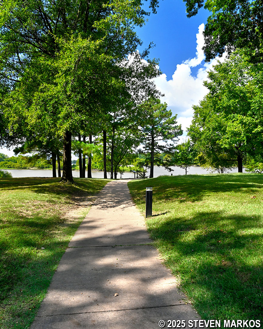
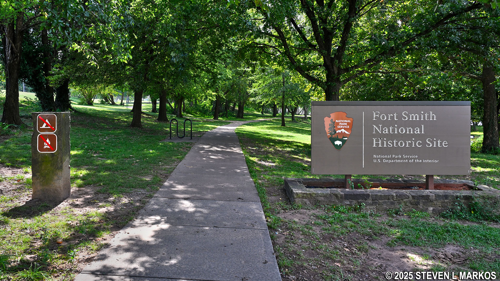
The River Loop Trail at Fort Smith National Historic Site is a paved, 1-mile loop that takes visitors around the site of the first Fort Smith (1817-1824). It begins just behind the gazebo on the northern end of the main parking lot. Most of the trail is shaded by trees, and benches along the way provide opportunities to rest and relax while taking in scenic views of the Arkansas and Poteau rivers. The confluence of the two, known as Belle Point, can also be viewed from the trail. The name, which means “beautiful place” in French, was given to the river junction by 18th-century French fur trappers who used the area as a meeting point before Fort Smith was established.
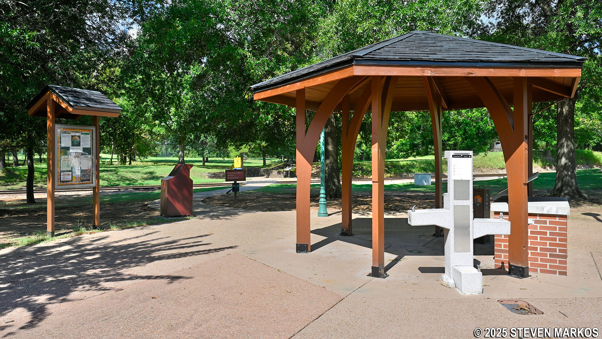
Start of the River Loop Trail at Fort Smith National Historic Site
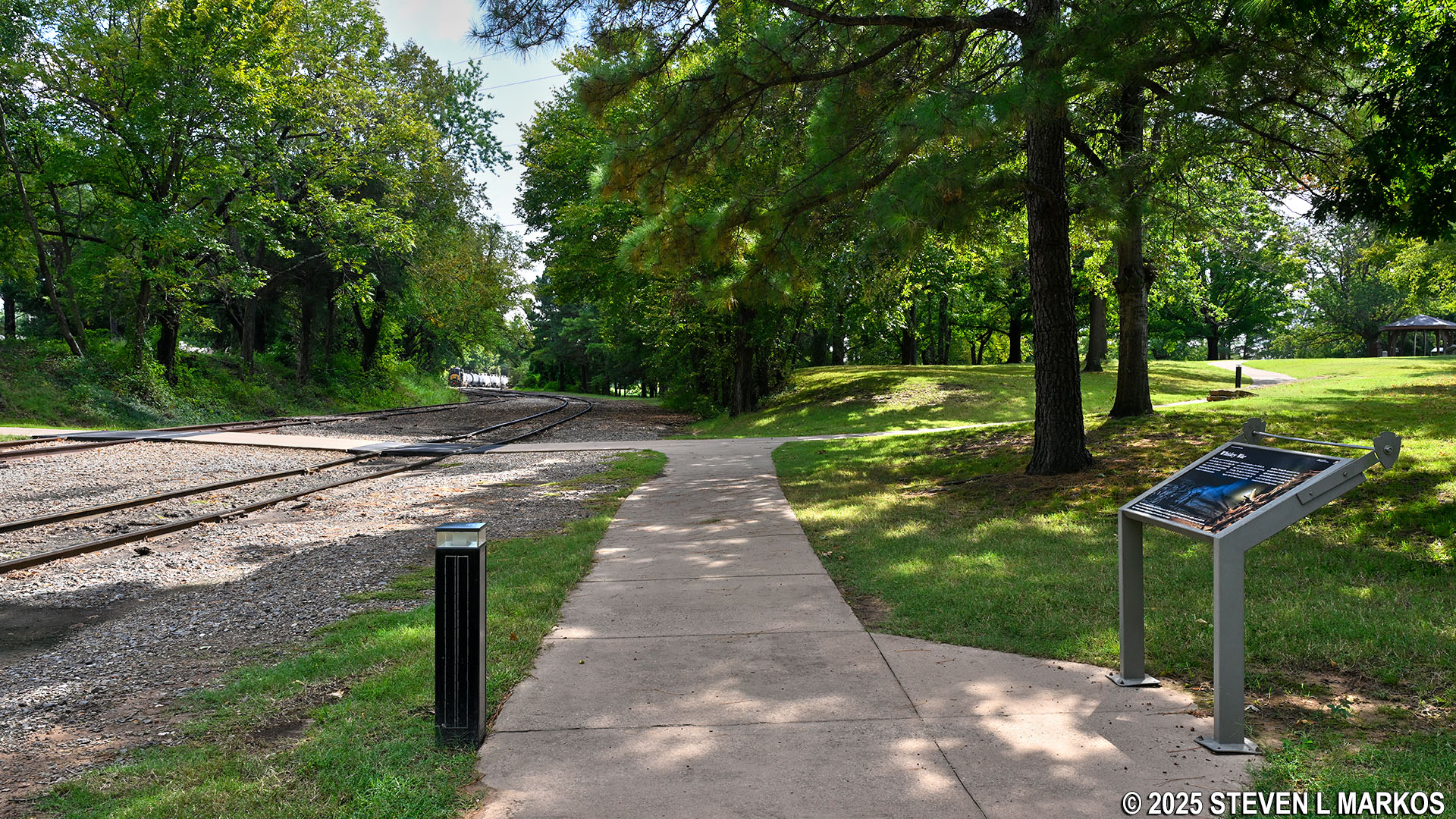
Three active railroad tracks cross over the River Loop Trail right past the start, so make sure to keep your eyes and ears open for any trains that may be coming through. A painted line on the sidewalk immediately after the first tracks represents the 1834 boundary between the Arkansas and Indian territories (Arkansas wasn’t a state until 1836). After the 1803 Louisiana Purchase, southeastern Native American tribes were urged to move to the unsettled land west of the Mississippi. Eventually, as European American settlers slowly expanded westward, the government went from urging to forcing. Congress passed the Indian Removal Act of 1830, which authorized the forced relocation of Native American tribes, and the land they were sent to became known as Indian Territory.
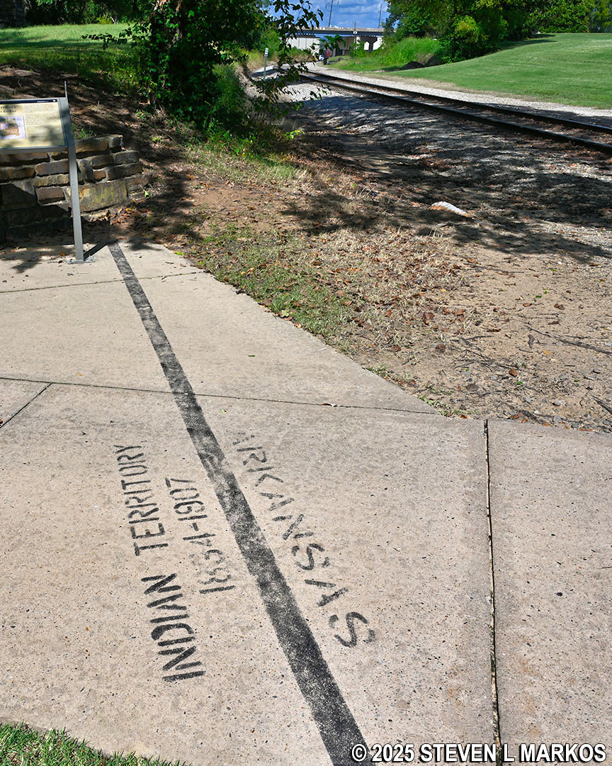
1834 boundary line between Arkansas and Indian Territory on the River Loop Trail at Fort Smith National Historic Site
On the other side of the Indian Territory boundary line is a set of steps that leads up to the former location of one of the bastions of the second Fort Smith (1838-1871). Originally a defensive structure, once the fort became more of a supply depot starting in 1845, the bastion was used as a quartermaster’s storehouse where soldiers were issued clothing and equipment. In 1884, the storehouse was destroyed to make way for the railroad. Today a historical marker for Belle Point—erected in 1939—stands in its place to commemorate the first Fort Smith. Next to it is a reproduction of the 1825 Initial Point Marker that represents the boundary between the Arkansas Territory and the Choctaw Nation. The original marker is on display in the Visitor Center.
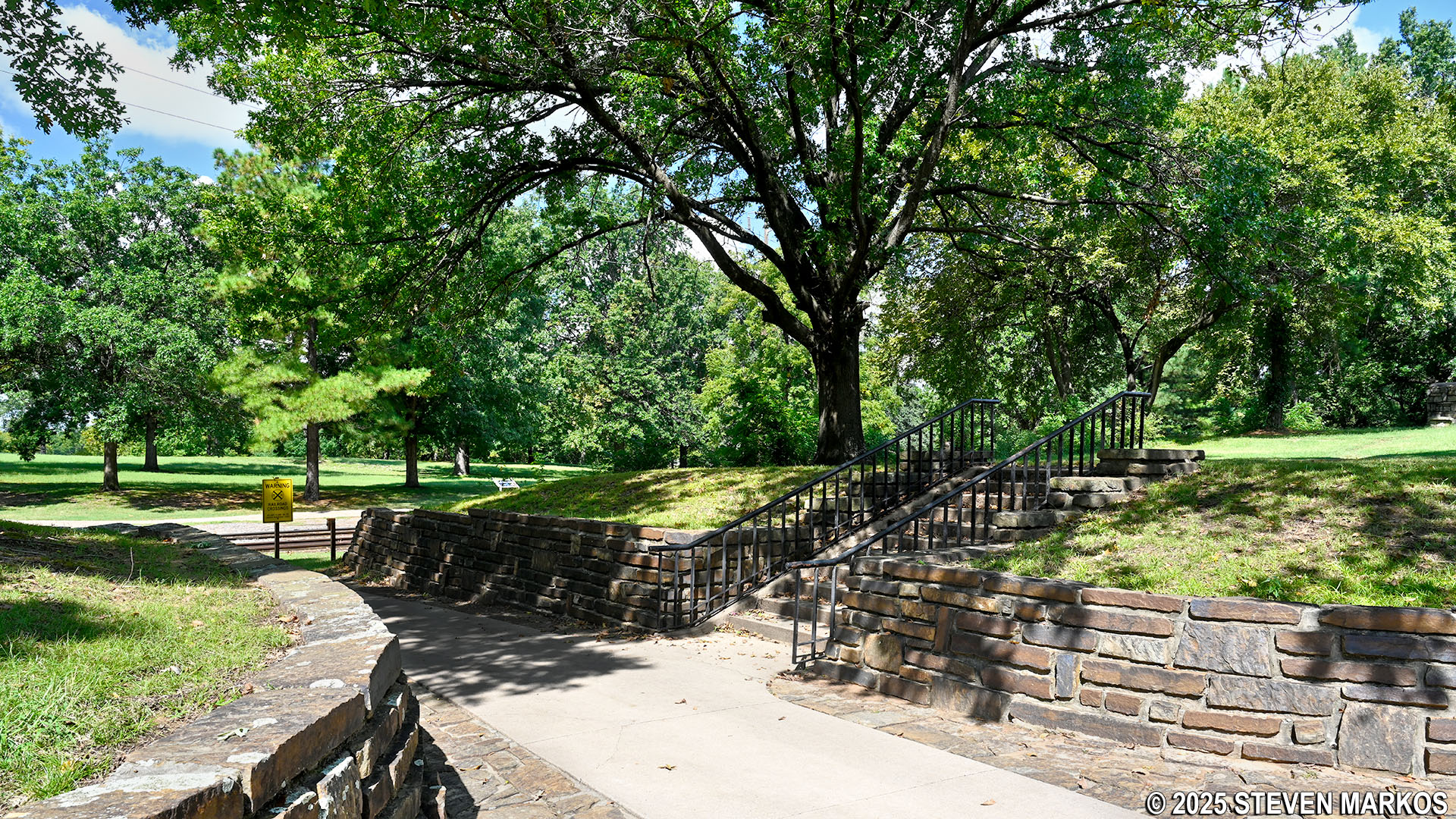
Steps leading up to one of the second Fort Smith’s bastions on the River Loop Trail at Fort Smith National Historic Site
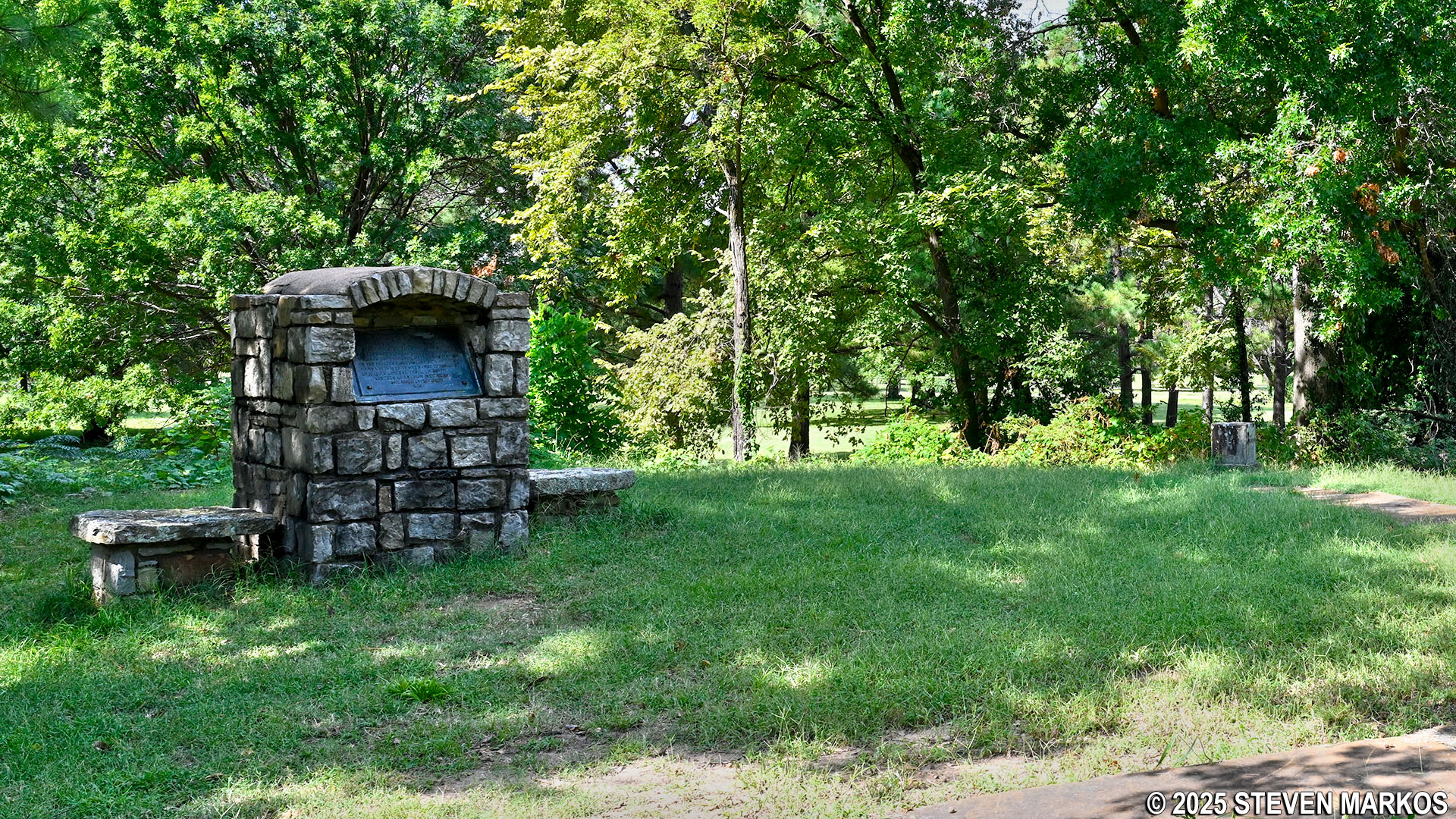
The Belle Point and the 1825 Initial Point markers on the River Loop Trail at Fort Smith National Historic Site
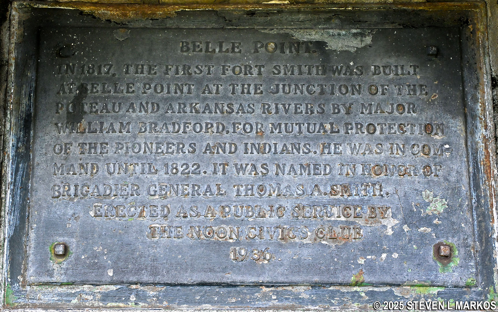
Belle Point Historical Marker on the River Loop Trail at Fort Smith National Historic Site
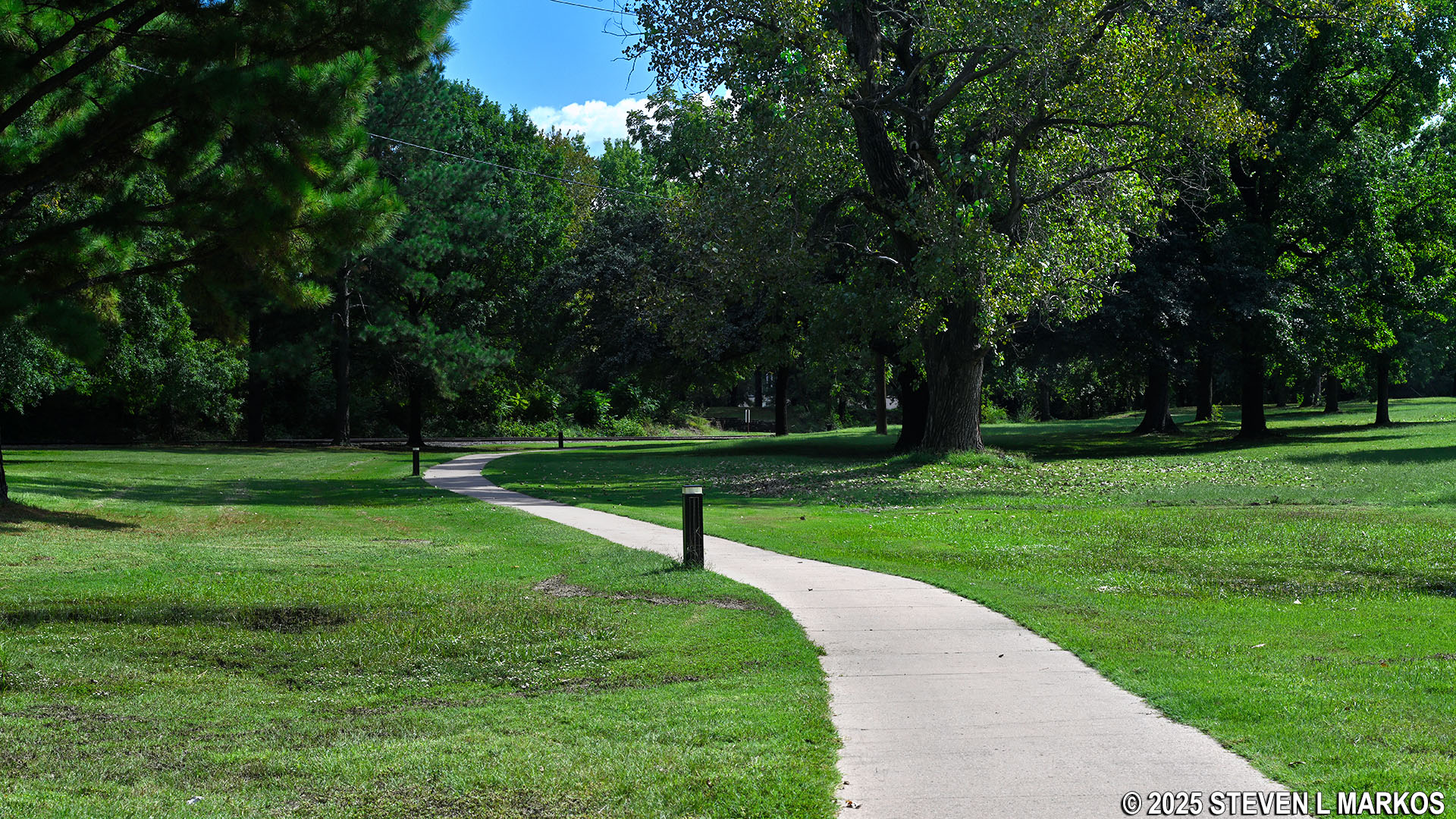
Just past the steps to the bastion, the River Loop Trail crosses over the remaining two railroad tracks before coming to the start of the loop section. Being a loop, you can go around in either direction. I walked the trail in a clockwise manner, and this report is written from that perspective.
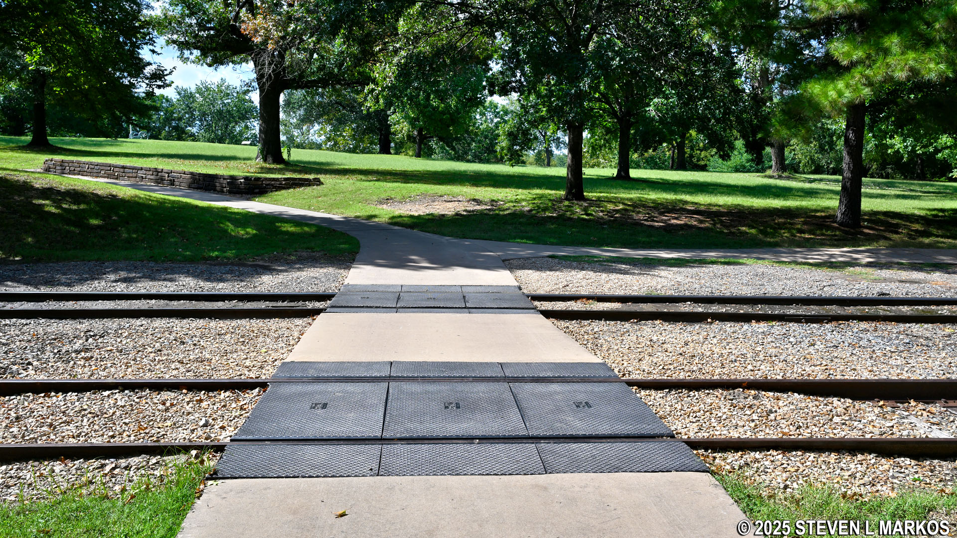
Railroad tracks right before the loop section of the River Loop Trail at Fort Smith National Historic Site
Just a hundred yards from where the loop starts is a fork in the trail. The River Loop Trail continues to the left, but stay straight to get to the ruins of the first Fort Smith. This section of the trail makes a .1-mile loop around the site.
Path to the first Fort Smith ruins from the River Loop Trail at Fort Smith National Historic Site
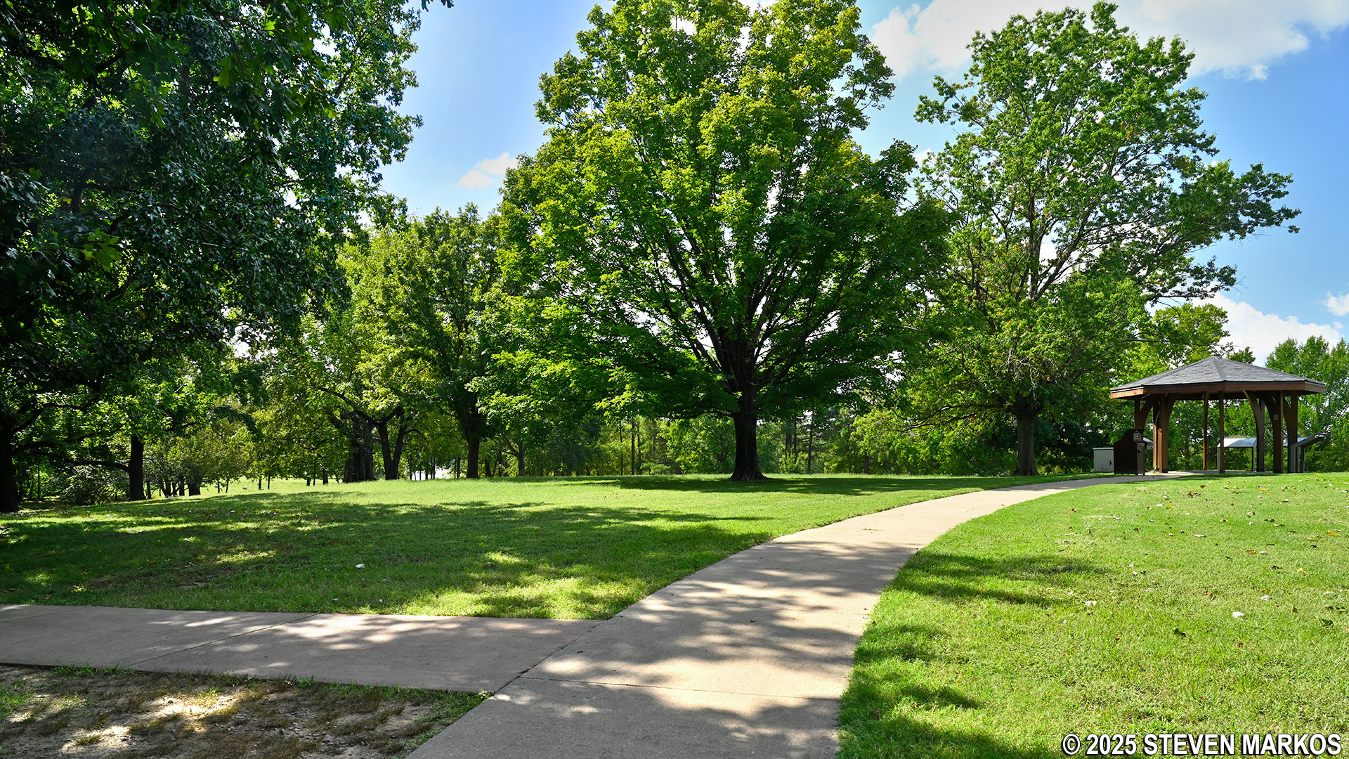
Just past the split is a gazebo with three wayside exhibits about the first Fort Smith. There is also an audio exhibit that plays recorded messages meant to portray people from that time period.
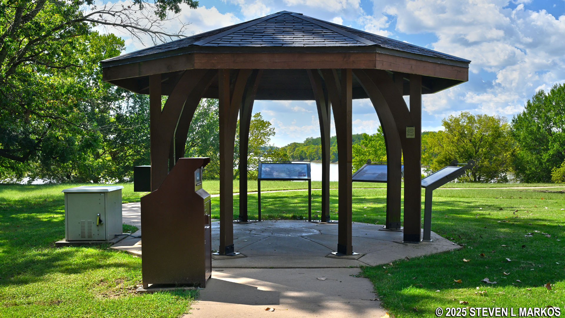
Gazebo with exhibits on the River Loop Trail at Fort Smith National Historic Site
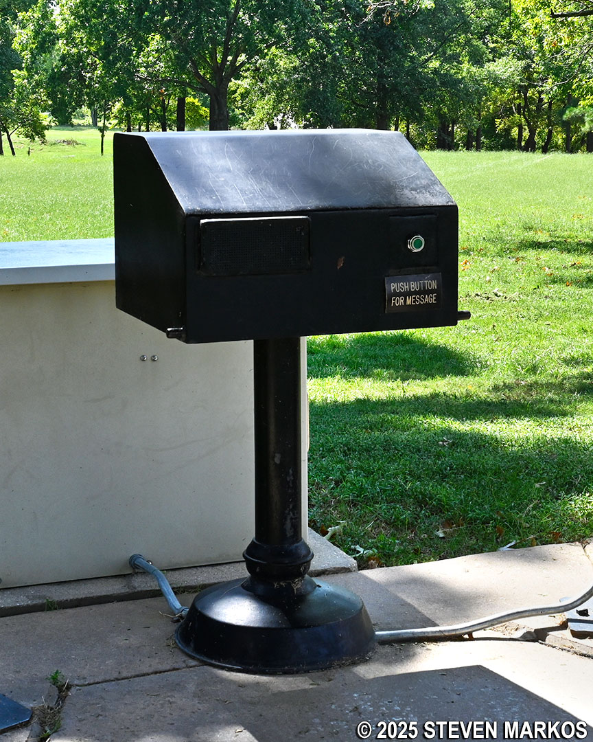
Interpretive audio exhibit at the gazebo on the River Loop Trail, Fort Smith National Historic Site
The exact location of the first Fort Smith was unknown until 1959 when an archeological excavation uncovered the stone foundations that are visible today. Built in 1817 by a unit of the U.S. Rifle Regiment, the fort was 132 feet square and included two blockhouses along with other outbuildings. The fort remained operational until 1824.
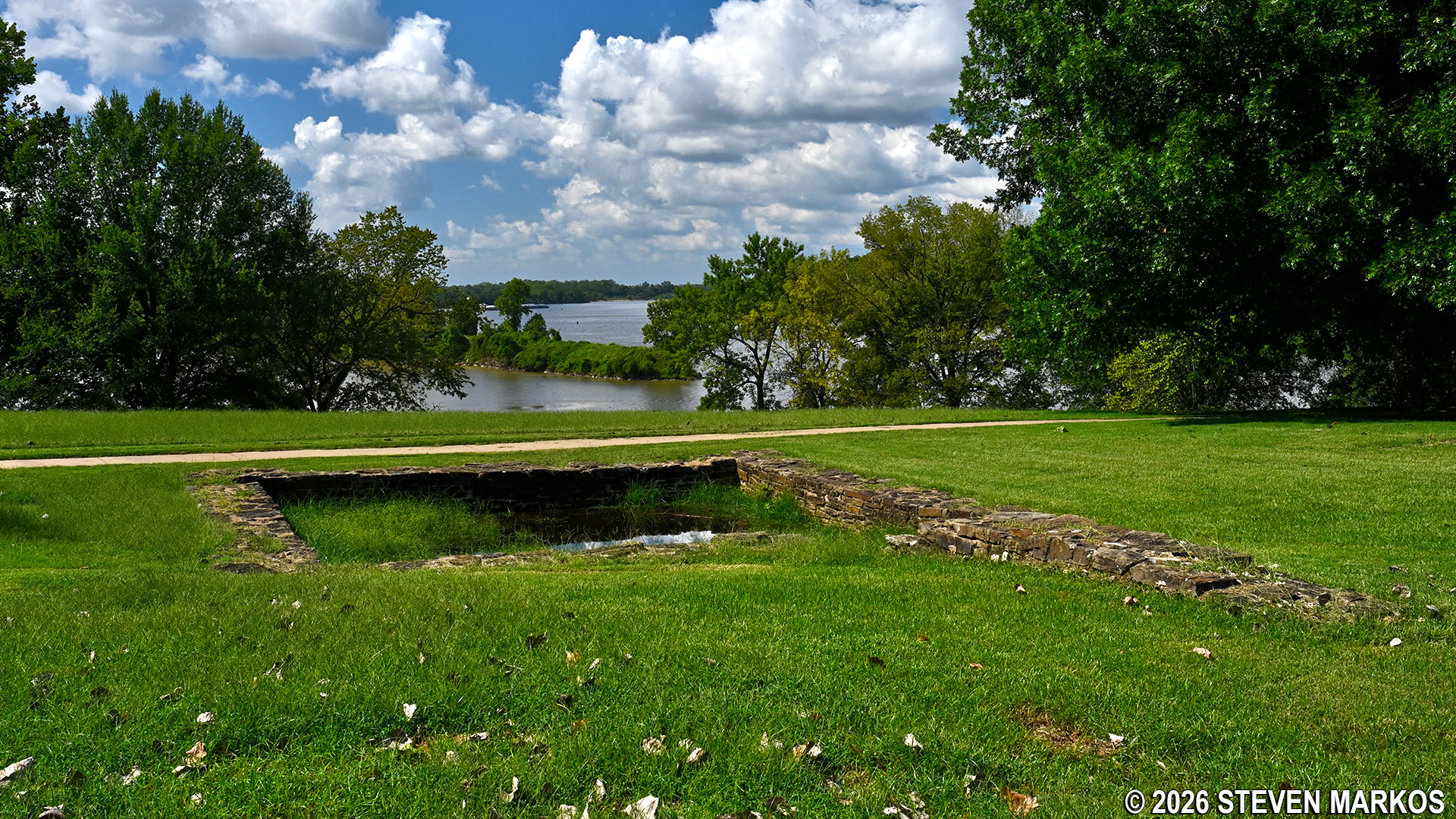
Ruins of the first Fort Smith on the River Loop Trail at Fort Smith National Historical Park
A replica of an early 1800s cannon and a flagpole were added to the site by the National Park Service to give visitors a more realistic idea of how the fort would have appeared.
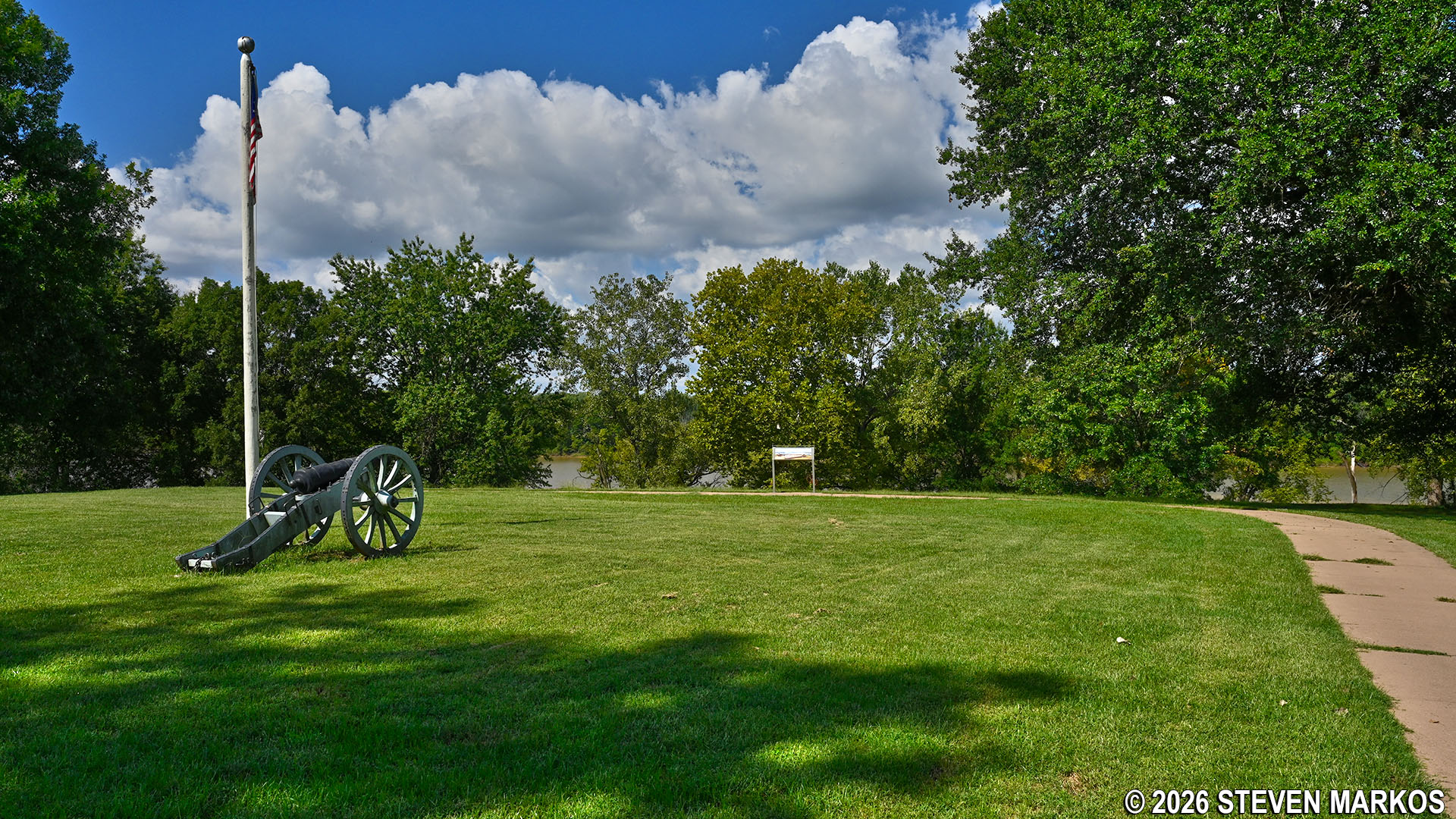
Cannon and flagpole on the River Loop Trail at Fort Smith National Historic Site
Once done at the fort site, return to the fork to continue the hike on the River Loop Trail. A couple more wayside exhibits line the path as it makes its way down to the Arkansas River.
Path leading to the Arkansas River on the River Loop Trail at Fort Smith National Historic Site
Two-tenths of a mile after the split is the location of the former Trail of Tears Overlook (destroyed in flood) and a nice view of the confluence of the Arkansas and Poteau rivers. Thousands of Native Americans died during their forced relocation west of the Mississippi. The Arkansas River was one of the routes taken, and Fort Smith was the last town before entering Indian Territory. At the time of my visit, a wayside exhibit had been placed at this spot referencing a historic 500-year flood in May 2019 that destroyed the Trail of Tears Overlook. The National Park Service has plans to rebuild it, but no timeline is available for when that will take place.
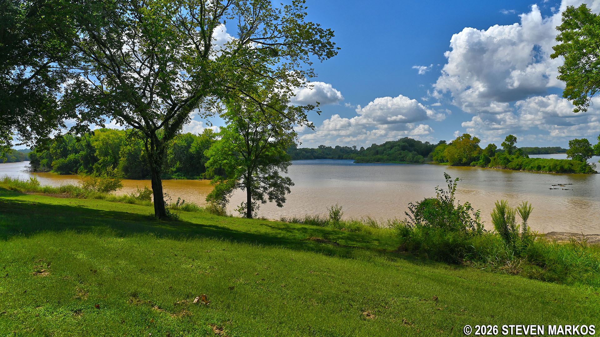
Confluence of the Arkansas and Poteau rivers on the River Loop Trail at Fort Smith National Historic Site
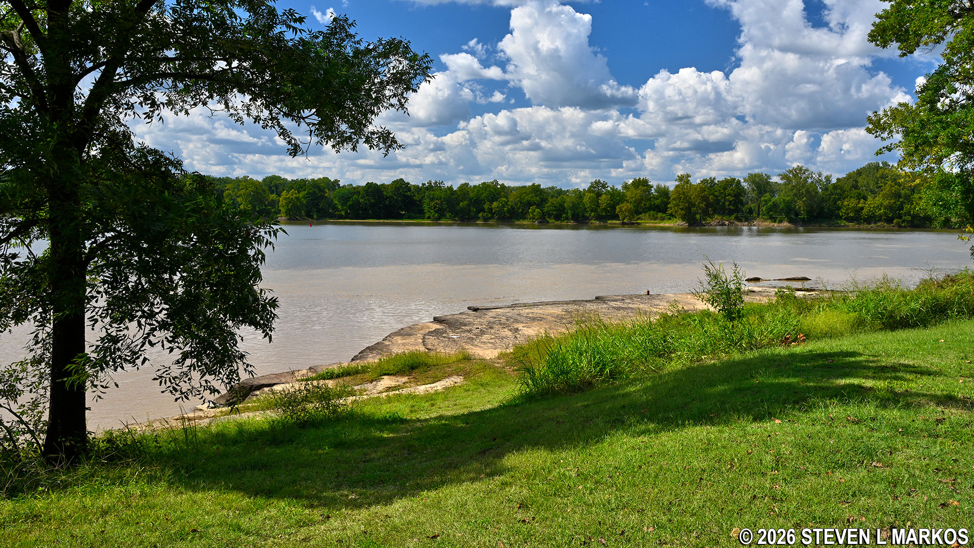
If you are feeling adventurous, you can hike down the embankment to a rock shelf carved out by the Arkansas and Poteau rivers. When soldiers first came to establish Fort Smith, this was where their ships made landfall. Keep in mind that it is relatively steep to get down there, with an average grade of 11% across the last 35 feet, but it provides unobstructed views of the rivers (a 15% grade is where strenuous hiking begins).
Embankment leading to the Arkansas River rock shelf on the River Loop Trail at Fort Smith National Historic Site
Rock shelf along the Arkansas River on the River Loop Trail at Fort Smith National Historic Site
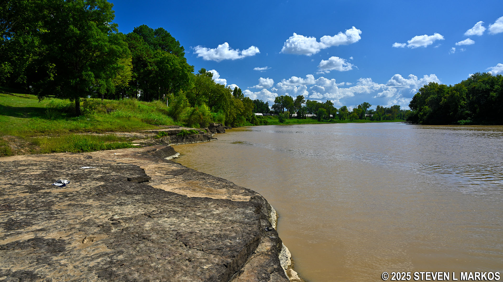
The River Loop Trail continues alongside the Arkansas River for the next two-tenths of a mile, passing a few benches and another wayside exhibit on the way.
Stone benches along the riverbank on the River Loop Trail at Fort Smith National Historic Site
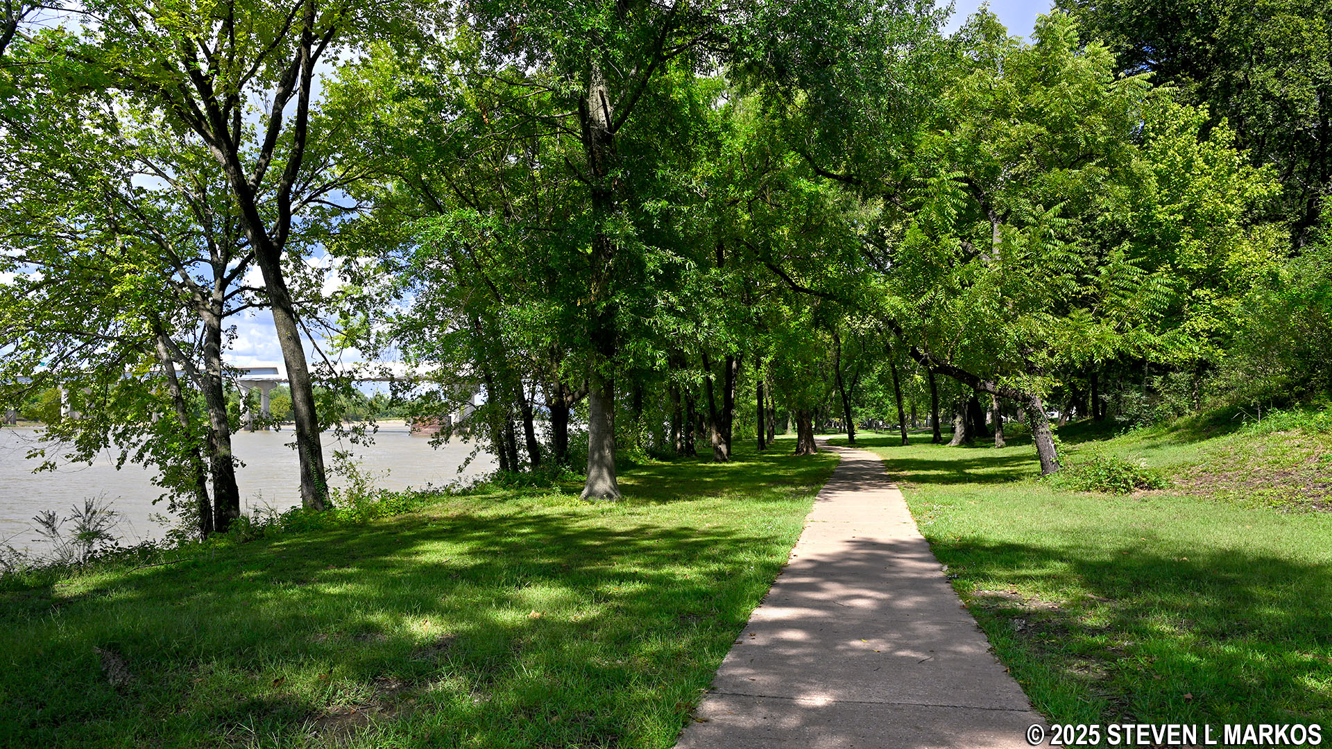
Typical terrain on the River Loop Trail at Fort Smith National Historic Site
There is another fork in the path just after the River Loop Trail veers from the riverbank. The trail continues to the right. Straight leads out of Fort Smith National Historic Site to the Riverfront Amphitheater at Fort Smith Riverfront Park. A parking lot is available at the amphitheater for those who would like to start the River Loop Trail from this side.
Fork on the northeastern side of the River Loop Trail, Fort Smith National Historic Site
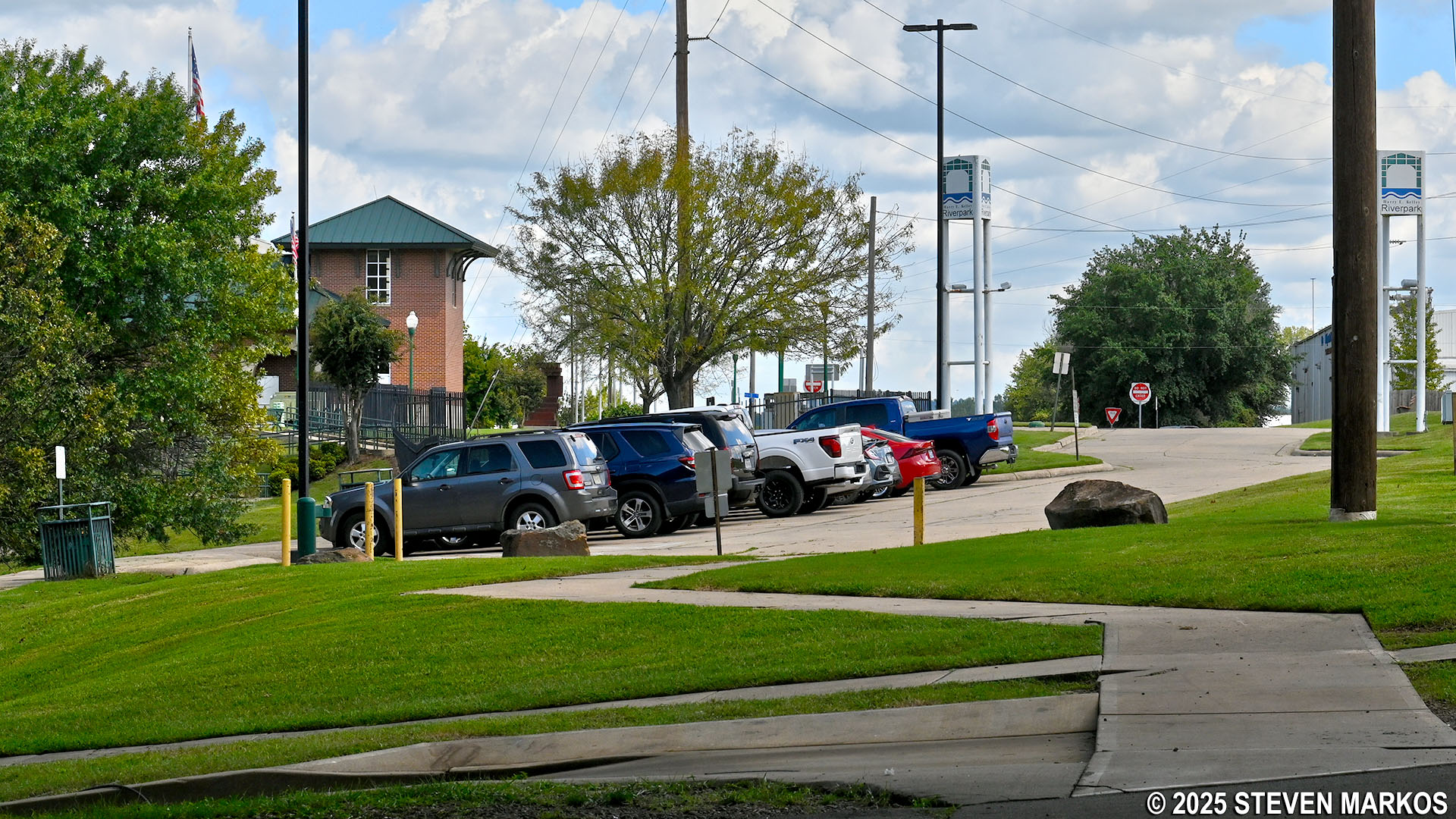
Riverfront Amphitheater parking lot at the northeastern end of the River Loop Trail outside the park boundary of Fort Smith National Historic Site
Entrance to the River Loop Trail from the Riverfront Amphitheater parking lot, Fort Smith National Historic Site
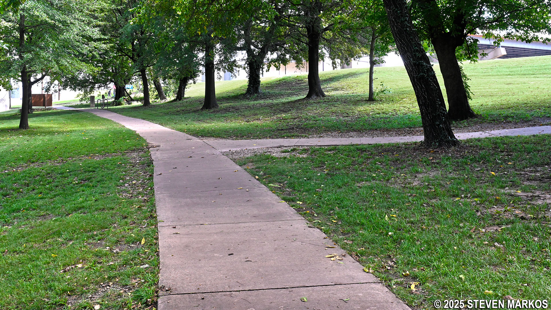
From the fork it is a quarter mile back to where the loop portion of the River Loop Trail began. Once back at the railroad tracks, take a right to return to the main parking lot.
Path of the River Loop Trail at Fort Smith National Historic Site
End of the loop section on the River Loop Trail at Fort Smith National Historic Site
With a few exceptions, use of any photograph on the National Park Planner website requires a paid Royalty Free Editorial Use License or Commercial Use License. See the Photo Usage page for details.
Last updated on February 9, 2026


