

Ninety Six Battlefield, Ninety Six National Historic Site
Length: 1 mile
Time: 1 hour
Difficulty: ★★☆☆☆
The Historical Trail, a 1-mile, paved walking trail, takes visitors to all points of interest at Ninety Six National Historic Site. This includes the siege trenches dug by the American Patriots to give them cover as they tried to move closer to the British and Loyalist soldiers manning the Star Fort, the Star Fort and Stockade Fort, the original Ninety Six town site (which was burned and abandoned after the battle), and the remnants of the original Charleston, Whitehall, and Island Ford roads. There are plenty of wayside exhibits along the trail, complete with diagrams about how the battle played out, so it is easy for visitors to picture the events that took place.

Exhibits along the paved Historical Trail at Ninety Six National Historic Site
There is a moderate hill at the start and end of the trail, but otherwise it is flat and very easy to walk. The trail is mainly out in the open, so wear a hat and apply sunscreen if avoiding the sun is important to you. With the sun out, it can get very hot.
Ninety Six National Historic Site is in a rural area and not highly visited, so you can enjoy the tranquil surroundings and feel the history before you without the distractions of a large crowd. I visited in late September and only saw a few other people walking the trail. The Ranger told me the busiest times are in the spring when the flowers are blooming and in the fall when the leaves are changing color.
The Historical Trail begins between the Visitor Center and the restroom building. Not long after starting is a moderate hill, but after that the trail is relatively flat until the very end. The dirt road running alongside the trail as you pass through the forest is the original Island Ford Road, the road the Patriot soldiers (colonists who wanted independence from Great Britain) used to get to Ninety Six on May 21, 1781, to fight the second battle at Ninety Six during the American Revolution (the first was a smaller battle on November 19, 1775). The road was used so much by pedestrians, beasts of burden, and wagons that a ditch was worn into the ground.
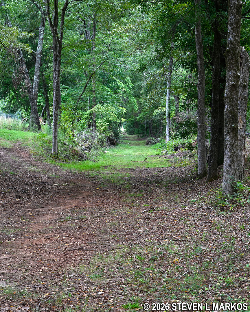
Segment of the original Island Ford Road runs through Ninety Six National Historic Site
The first area of interest that you come to after exiting the forest is the site of the 1781 battle. The Loyalists (colonists loyal to England) built two forts at Ninety Six, one on either side of the town. The one that you see first is the Star Fort, a multi-sided earthen fort with walls fourteen feet high and thick enough to stop a cannon ball. Due to erosion, all that remains today are small hills. A Ranger told me that she once met an older visitor who grew up in the area, long before the site was a park, and that he and his friends would ride their bikes up and over the hills.

Artist rendition of the Star Fort
When you get farther down the Historical Trail you can actually walk into the fort, though there is not much to see.
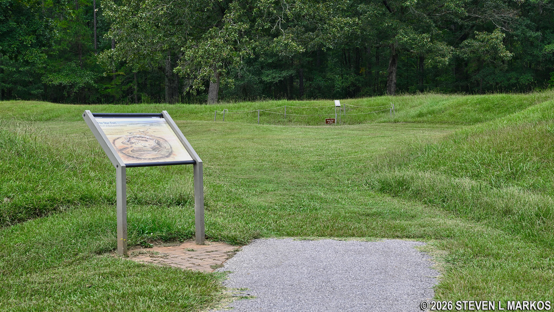
Entrance into the Star Fort, Ninety Six National Historic Site
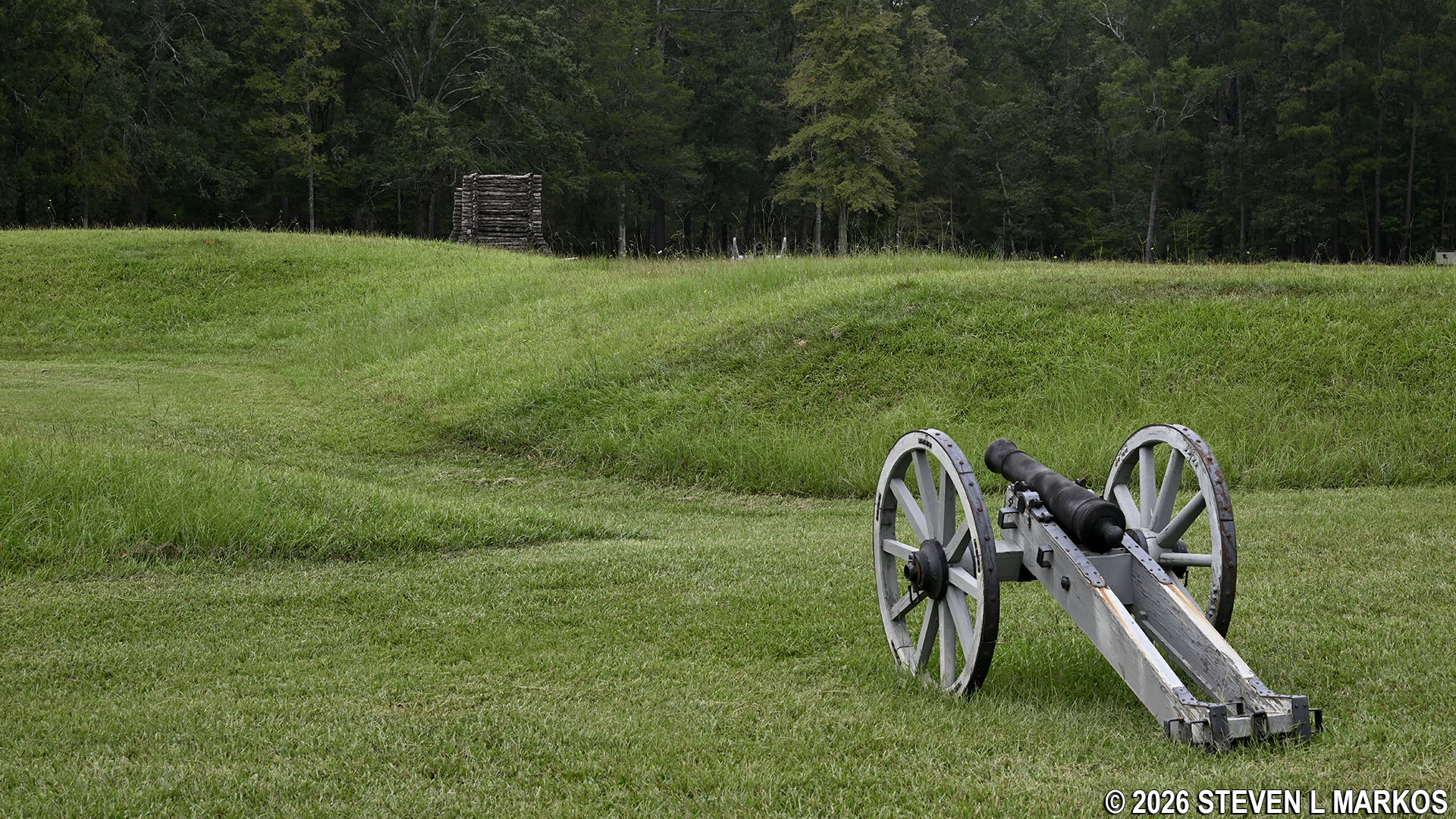
Cannon inside the Star Fork aims towards Patriot positions on the battlefield, Ninety Six National Historic Site
Before you even get to the fort, you will see the outlines of trenches that the Patriots dug in preparation for an attack on the Star Fort. What you see today are reconstructions. Small hills were created to show the outlines of the trenches; the positions are known from archaeological digs. The Historical Trail zigzags as it follows the trench line.
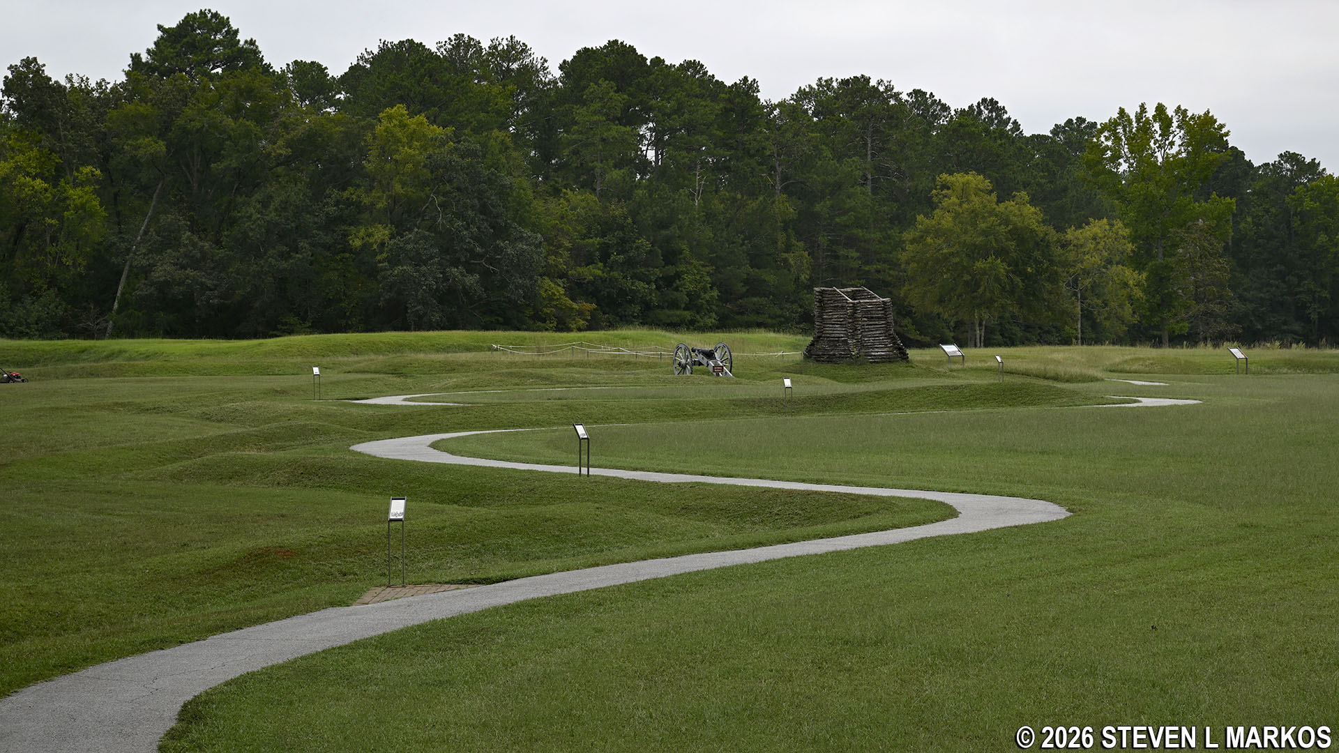
Paved path through the battlefield at Ninety Six National Historic Site
The siege tactics of the day involved digging zigzagging lines of trenches closer and closer to the target. The trenches provided cover for the attacking soldiers. A trench was dug parallel to the target, then another trench branched out forward and to an angle, and after a certain distance another parallel trench was dug. However, digging trenches in what amounts to clay, the soil in the area, is no easy task. It took the Patriots nearly three weeks to finish three parallel trenches, which got them to within musket range.

Trenches dug by the Patriots so they could approach the Star Fork under cover of the high walls, Ninety Six National Historic Site
The Patriot rifle tower located on the battlefield near the Star Fort is also a reconstruction. The original towers were approximately 30 feet tall and built so Patriot sharpshooters could fire down into the Star Fort.

Rifle tower used by Patriots to shoot down into the Loyalist’s Star Fort, Ninety Six National Historic Site
The next area of interest is the site of the original town of Ninety Six. It was built at the junction of three major roads: the Charles Town Road, which led to Charleston (called Charles Town at the time); the Whitehall Road, which led to Augusta, Georgia; and the Island Ford Road, which connected to a ferry that crossed the Saluda River. This location made Ninety Six significant because just about anyone traveling into the back country of South Carolina had to pass through the town.
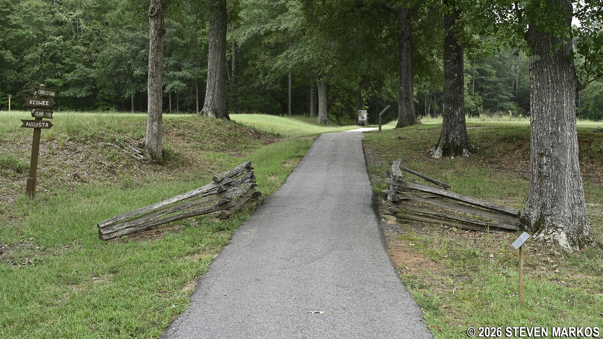
Historical Trail at Ninety Six National Historic Site passes through the old Ninety Six town site
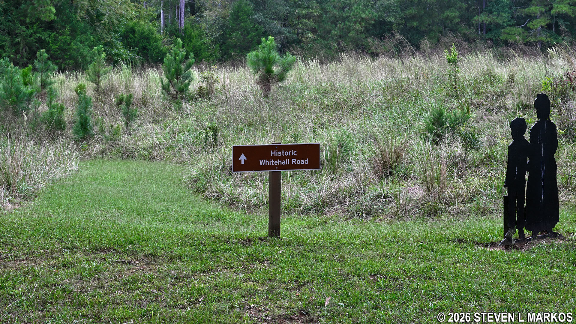
Segment of the original Whitehall Road passes through Ninety Six National Historic Site
At first there was no law enforcement in the new town, and crime was rampant. Settlers took matters into their own hands by forming what they called Regulators: men who often acted as judge, jury, and hangman. In 1769, the South Carolina General Assembly agreed to provide law enforcement in the back country, and by 1772, Ninety Six had a jail and courthouse. The site of the old jail is located just past the town site and is marked with posts. The courthouse, which is not marked, sat about 100 yards away on the Charles Town Road.

Site of the Ninety Six jail, Ninety Six National Historic Site
One month after the 1781 battle, the British decided that Ninety Six was too far away to protect, so they burned the entire town to the ground. The Loyalist troops and civilians retreated back to Charles Town. After the war, in 1787, former settlers returned and established the town of Cambridge. Ninety Six residents were given the chance to exchange their old lots for ones in the new town. At its high point, Cambridge had a population of around 300, and even had a college. However, restructuring of the South Carolina political districts less than a decade after the town’s founding led to the exodus of the local merchants. By 1803, the college had closed. In 1815 a flu epidemic killed many of the remaining residents. In 1860, the post office was closed and Cambridge officially died. In 1852, the town of Lodi was renamed Ninety Six by the Post Office. This is the Ninety Six that still exists today.
Located between the Ninety Six town site and the jail site is the trailhead for the Gouedy Trail, which follows the original Charles Town Road (this is where the courthouse would have stood). Robert Gouedy established a trading post just down the road in the early 1750s. He was not the first settler in the area, but he went on to become the most prominent.
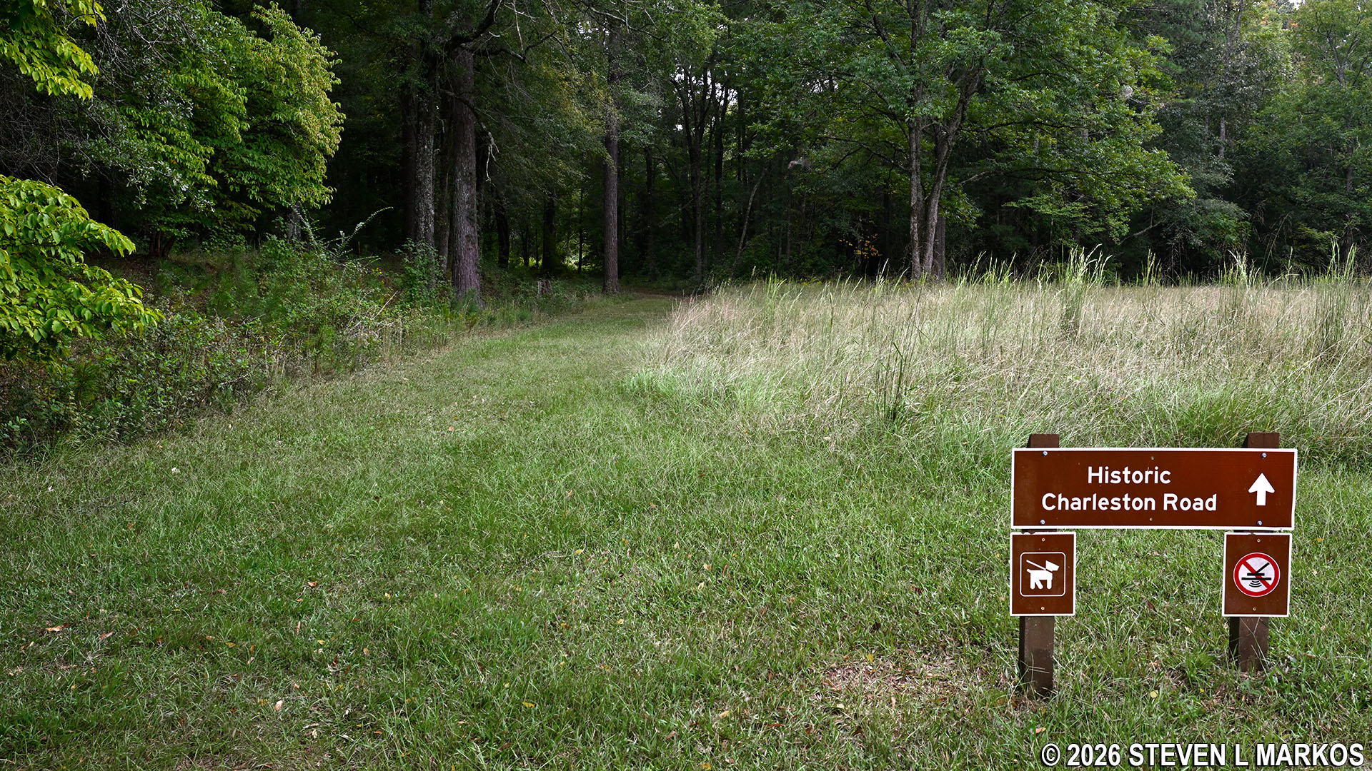
The Gouedy Trail at Ninety Six National Historic Site follows a segment of the original Charles Town Road
Another tenth of a mile down the Historical Trail is the start of the Cherokee Path Trail. This follows the actual road used to get from Ninety Six to the Cherokee village of Keowee. In fact, the story goes that the town of Ninety Six got its name because it was 96 miles to the Cherokee village. The village was of great importance to Robert Gouedy—at least in the days before the Indians and white settlers started fighting each other—because he did a lot of trading with the Cherokee. Today the trail leads 1.5 miles to the Star Fort Pond where fishing is allowed on select days of the week.

Start of the Cherokee Path Trail at Ninety Six National Historic Site
Just past the trailhead is a moderate hill that leads up to the last point of interest on the Historical Trail: a reconstruction of the Stockade Fort (aka Holmes Fort) that Loyalist built in 1781.

Hill on the Historical Trail at Ninety Six National Historic Site leads up to the reconstructed Stockade Fort
Being based on archaeological evidence and construction techniques of the time, what you see today should be pretty close to what the original Stockade Fort looked like. One building has been reconstructed, while three others situated in the corners of the fort have been partially reconstructed. You can walk around inside the fort, but the building is not open, and there is nothing inside.

Reconstructed Stockade Fort at Ninety Six National Historic Site

Partial reconstruction of a corner building of the Stockade Fort at Ninety Six National Historic Site
The American siege of the Star Fort lasted from May 21, 1781, until June 18th. On the 13th, General Nathanel Greene learned that 2,000 British reinforcements were on the way. On July 18th, with time running out, Greene ordered a simultaneous attack on both the Star Fort and the Stockade Fort. While the attack on the Stockade Fort was successful, the attack on the Star Fort failed. As a result, Greene decided to abandon the Stockade Fort and retreat before the reinforcements arrived. The Patriot losses were 185 killed or wounded, and the Loyalists had 27 killed and 58 wounded.
On the walk back to the Visitor Center, which is within eyesight of the Stockade Fort, is a memorial to James Birmingham. He was the first person killed in the first battle at Ninety Six in November 1775. This was the first known instance of fighting in the southern colonies during the American Revolution. The battle was fought between colonists, not between colonists and British soldiers. An army of 1,900 Loyalists engaged 600 Patriots at Ninety Six for two days, with the battle ending in a draw. It was just one of many skirmishes near Ninety Six between Loyalists and Patriots for the next six years, many of which were caused by personal disputes among settlers rather than for independence from the British.
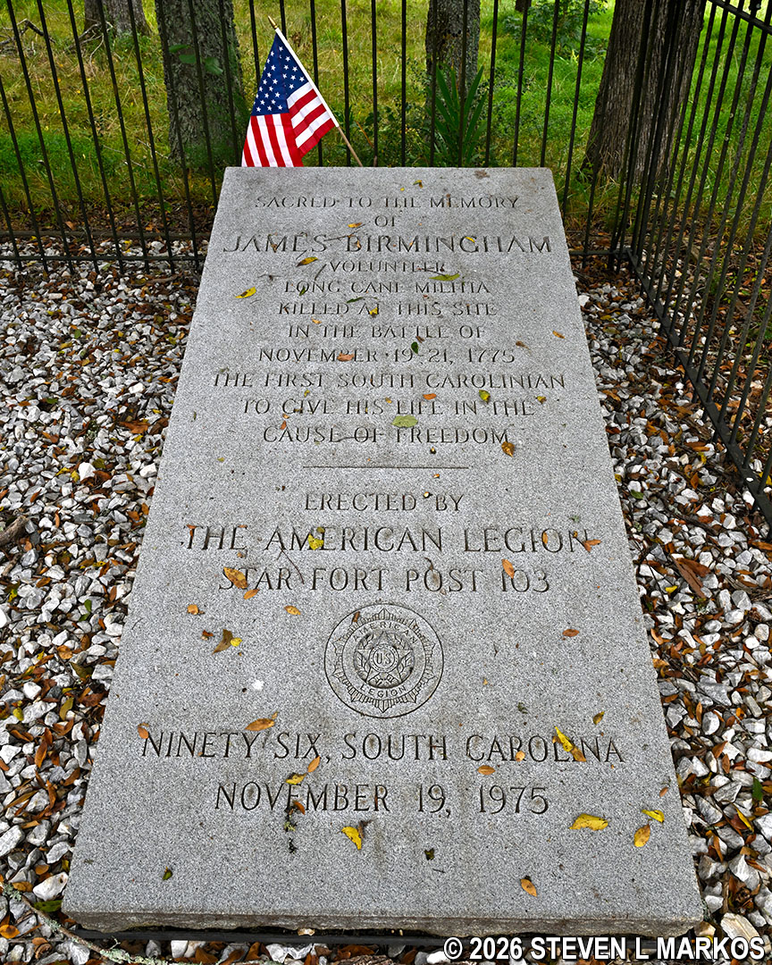
Memorial to James Birmingham at Ninety Six National Historic Site
With a few exceptions, use of any photograph on the National Park Planner website requires a paid Royalty Free Editorial Use License or Commercial Use License. See the Photo Usage page for details.
Last updated on October 17, 2026


