
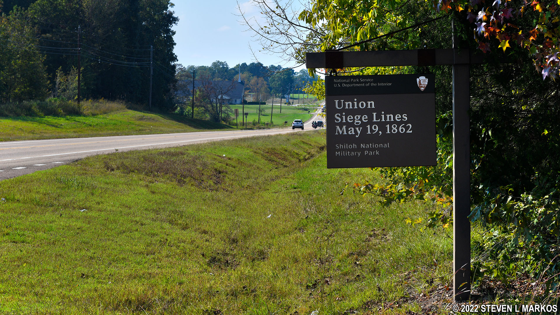
Union Siege Line from May 19, 1862, in Corinth, Mississippi
CORINTH CIVIL WAR DRIVING TOUR STOP 19
While advancing on Corinth with his 100,000-plus men in May 1862, Union General Henry Halleck was so apprehensive of another surprise Confederate attack like the one he experienced at Shiloh that at the end of each day’s march his troops dug trenches to help defend the ground they had covered. After a day or two they packed up and marched closer to Corinth, leaving the old trenches behind and digging new ones that night. Seven distinctive trench lines covering forty miles were dug during the march. The Union Siege Lines May 19 site at the Corinth Unit of Shiloh National Military Park marks the Union Army’s forward progress towards Corinth as of this date.
A network of still-visible trenches (aka earthworks) dug by the Union soldiers can be seen by hiking or biking down a .4-mile (one way) trail. Keep in mind that all you are going to see is what appears to be shallow gullies, so you really need to have a keen interest in the Civil War to want to take the effort to see them. For those who make the journey, there are plenty of trenches to explore. A map at the trailhead points out where to look.

Start of the trail to the Union earthworks used until May 19, 1862, in Corinth, Mississippi
The trail to the earthworks is an old dirt road, though much of it is now covered in grass since it is no longer used by vehicles. The hike begins through the woods, but most of it is out in the open. It takes about ten minutes to get to the end if on foot, four minutes on a bike. There is a bike rack and trash can at the end of the trail.

Forested terrain on the trail to the Union earthworks used until May 19, 1862, in Corinth, Mississippi

Open terrain on the trail to the Union earthworks used until May 19, 1862, in Corinth, Mississippi
If you didn’t know to look for the trenches, you would find yourself scratching your head and wondering what was the point of walking down here. However, take a closer look into the woods and you will find all sorts of trench ruins. Do realize that these have eroded away over the 150+ years since the Civil War took place, so most just look like shallow gullies. The deepest of the remaining trenches came up to my waist, so maximum depths are maybe 3 feet; when originally dug they may have been double this depth.
Today the trenches have trees growing in them and on them, so exploring the grounds is tough, particularly in the summer when the vegetation is in full swing. I made a short walk though the woods and never came to the end of them, so for all I know they may go on for a mile or more. Maybe one day in the future the National Park Service with clear the trees and make the trench network more easy to access (doubtful).
I have included a few photos of the trenches, but it is hard to discern the shapes in the two dimensional images. They are much more distinct in real life.

Remnants of the Union earthworks used until May 19, 1862, in Corinth, Mississippi

Remnants of the Union earthworks used until May 19, 1862, in Corinth, Mississippi
Plan to spend at least a half hour for the visit, and much more if you decide to find out how far the network of trenches extends into the woods.
Next Tour Stop | Previous Tour Stop | Corinth Civil War Driving Tour
With a few exceptions, use of any photograph on the National Park Planner website requires a paid Royalty Free Editorial Use License or Commercial Use License. See the Photo Usage page for details.
Last updated on February 2, 2022


