
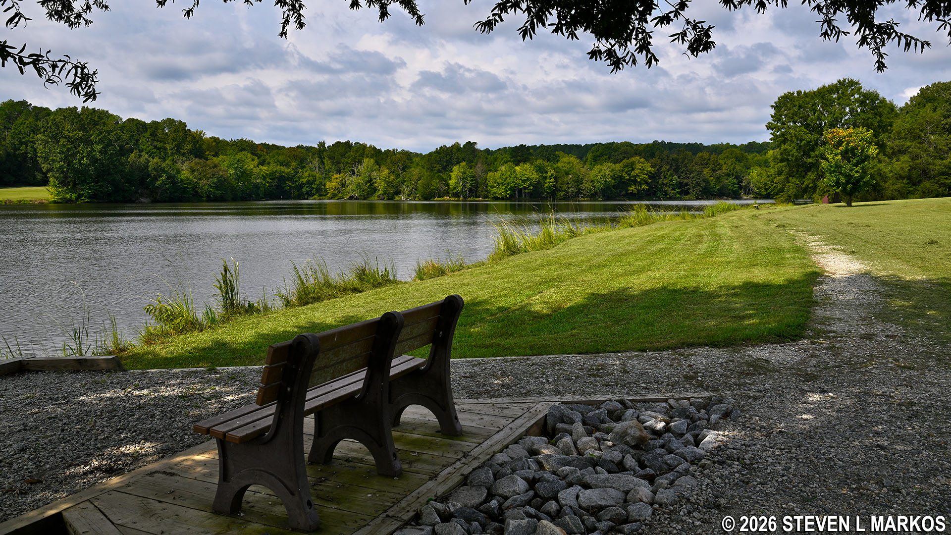
Fisherman’s Trail circles the Star Fort Pond at Ninety Six National Historic Site
Length: 1.7-mile loop
Time: 1 hour
Difficulty: ★☆☆☆☆The Fisherman’s Trail at Ninety Six National Historic Site circles the Star Fort Pond (aka Ninety Six Lake). It is accessible from the parking lot off of SC-246 or by hiking 1.75 miles from the Visitor Center on the Cherokee Path Trail. The Fisherman’s Trail itself is a 1.7-mile loop, and it can be hiked solely for exercise or to access a few out-of-the-way fishing spots. Fishing at the lake is allowed on Wednesdays, Fridays, and Saturdays from April 1st to November 1st.
I began my hike from the parking lot. If you want to hike in the counterclockwise direction, head down to the fishing dock and take a right. There is a gravel path along the shoreline.
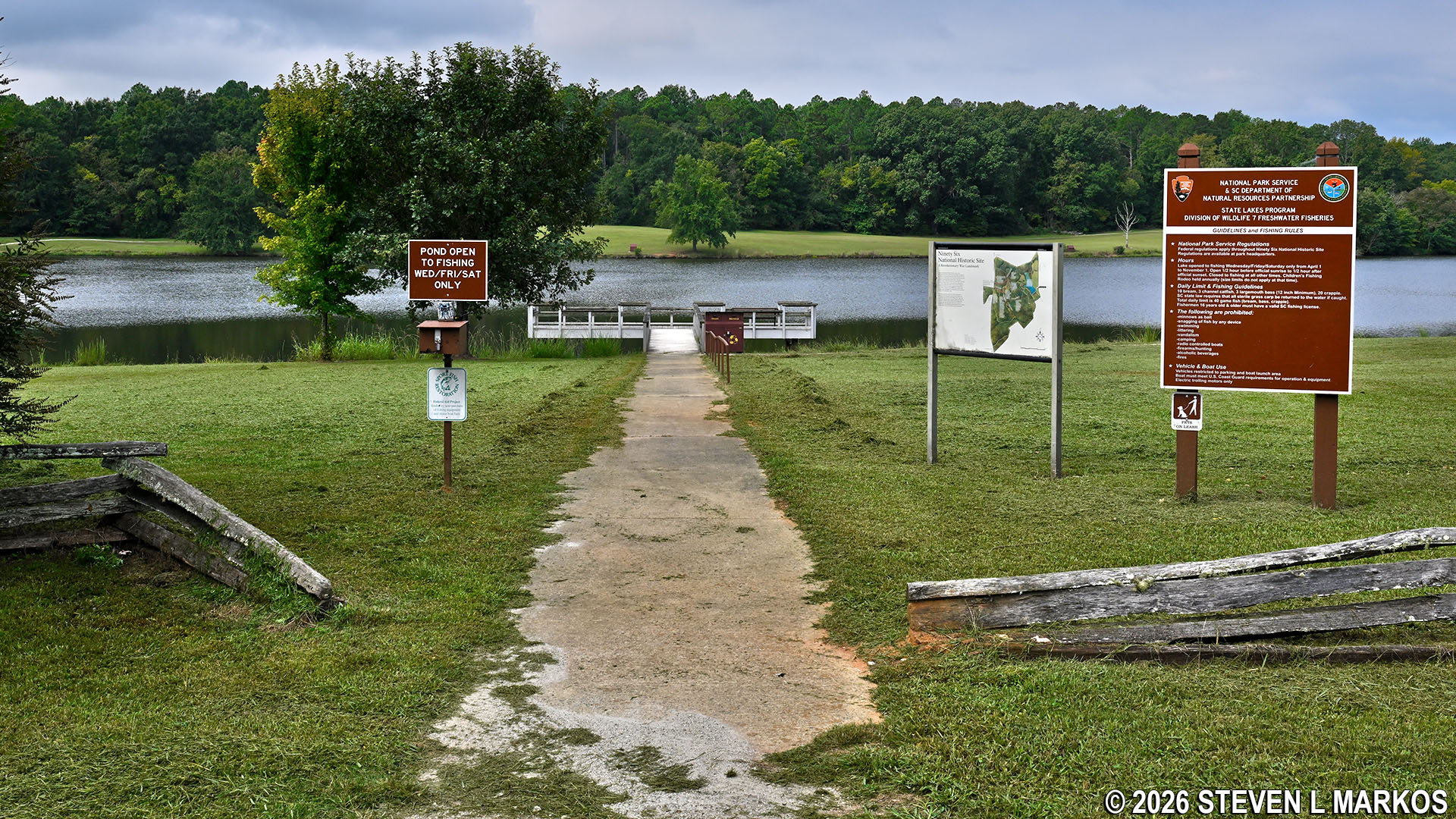
Path to the fishing dock at the Star Fort Pond, Ninety Six National Historic Site
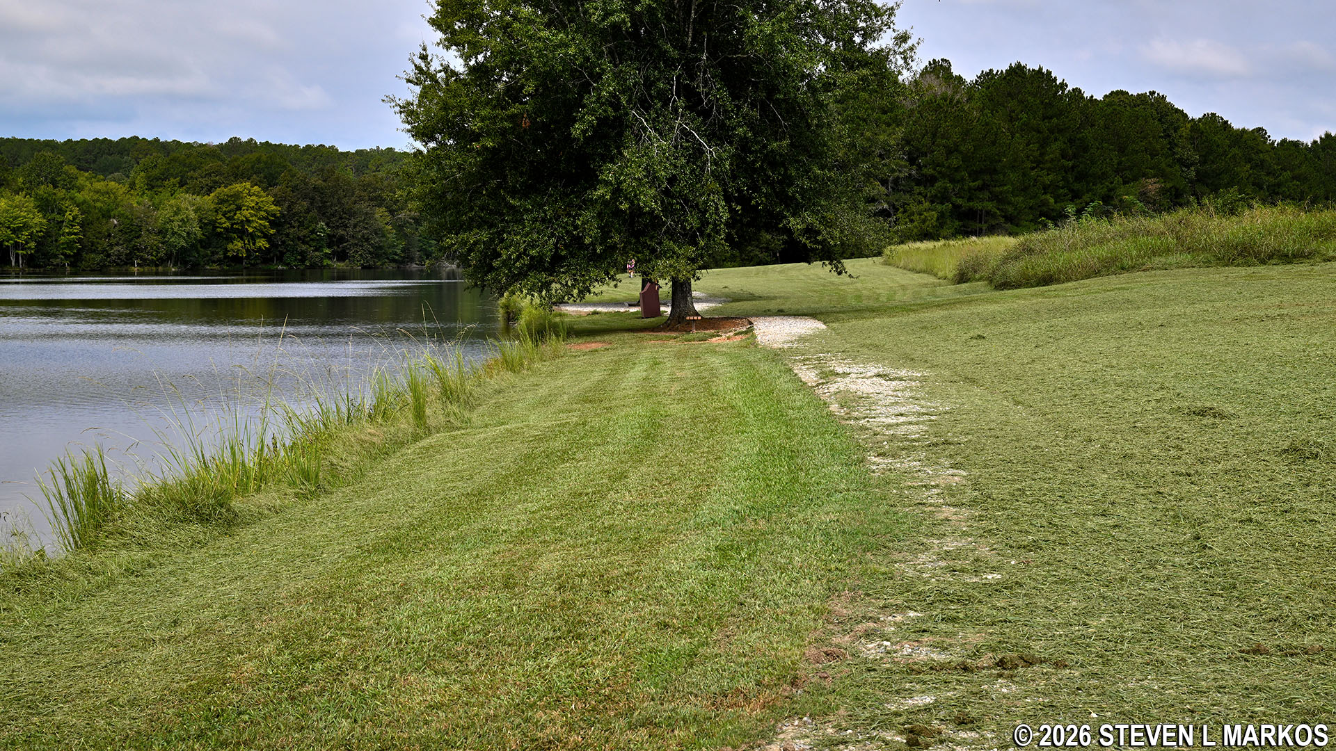
Path around the Star Fort Pond to the right of the fishing dock, Ninety Six National Historic Site
To hike the Fisherman’s Trail in the clockwise direction, take the wide gravel path at the left side of the parking lot. It really makes no difference which way you go around the lake, but I hiked in the clockwise direction, and this report is written from that perspective.
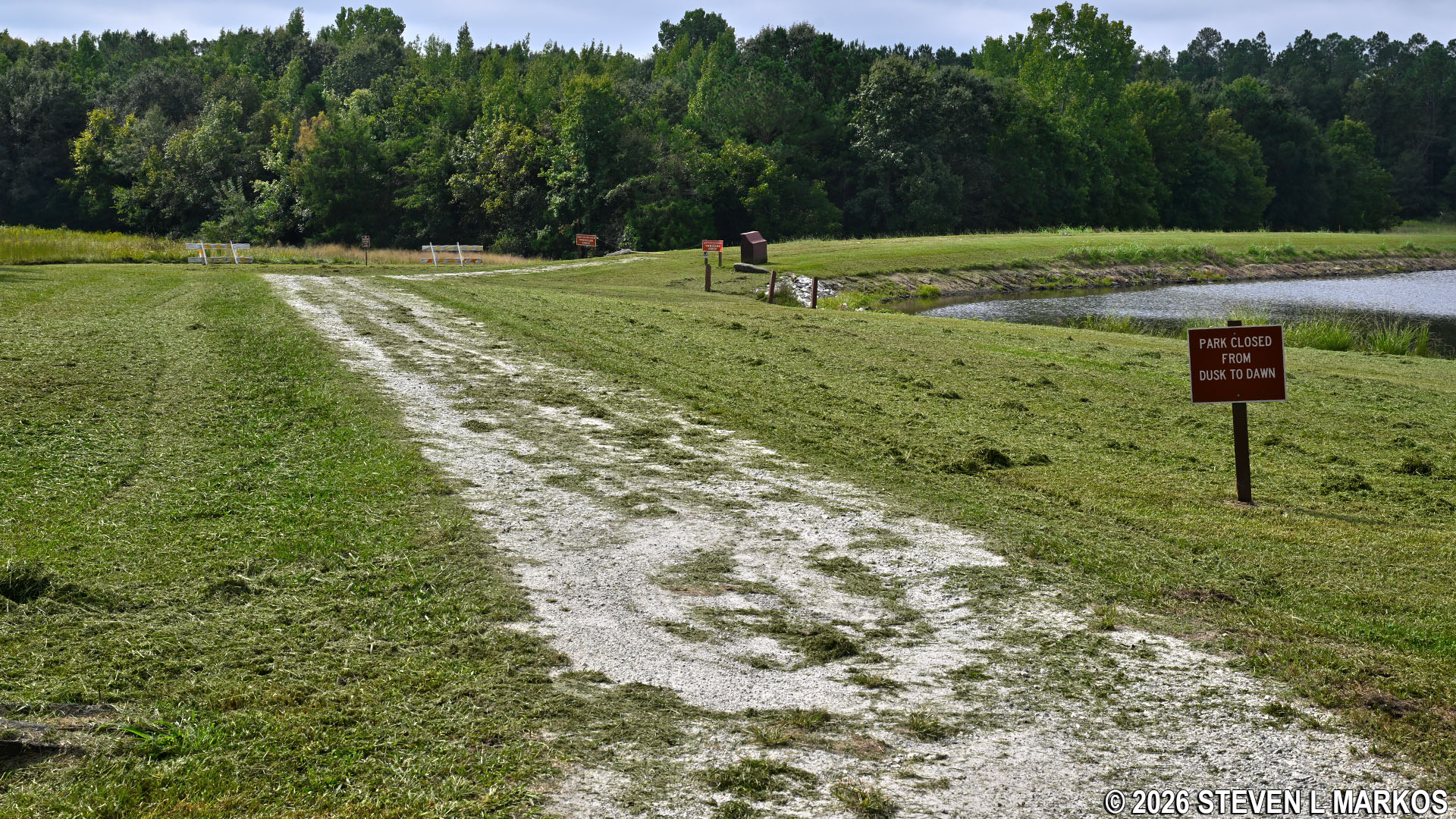
Gravel path around the Star Fort Pond starting at the parking lot, Ninety Six National Historic Site
When starting at the parking lot you are starting from the southeastern corner of the Star Fort Pond. The trail quickly turns right around the southern end, following along the top of the dam that created the lake.
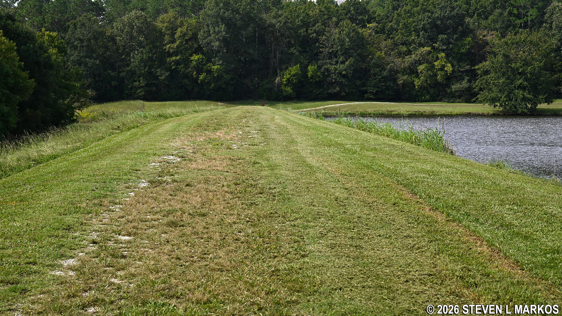
Fisherman’s Trail at Ninety Six National Historic Site passes over the dam at the southern end of the Star Fort Pond
Once over the dam and on the southwestern side of the lake you will arrive at the trailhead for the Cherokee Path Trail (.3 mile from the start). A little farther down is a picnic table under a small pavilion.
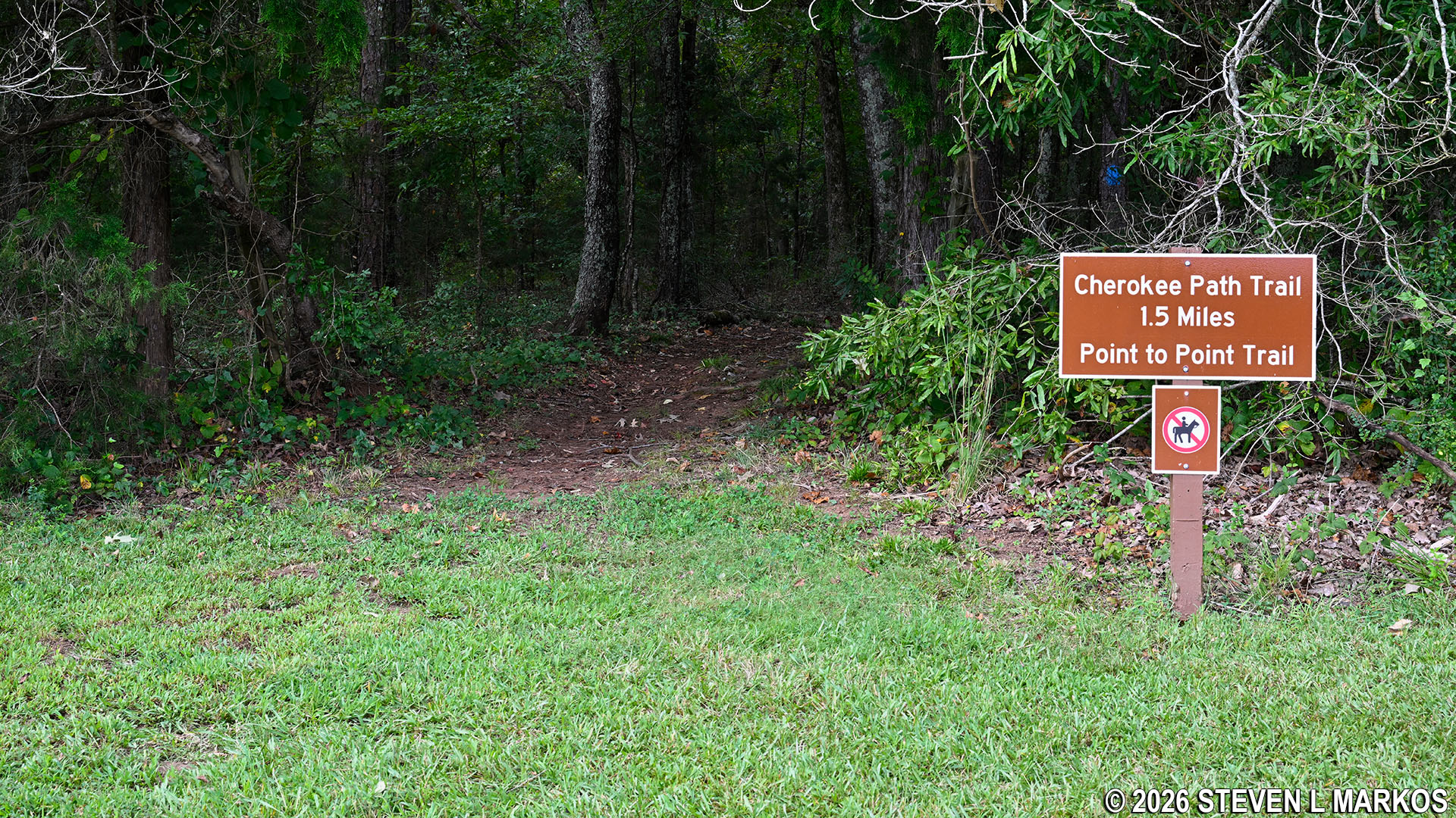
Star Fort Pond trailhead for the Cherokee Path Trail at Ninety Six National Historic Site
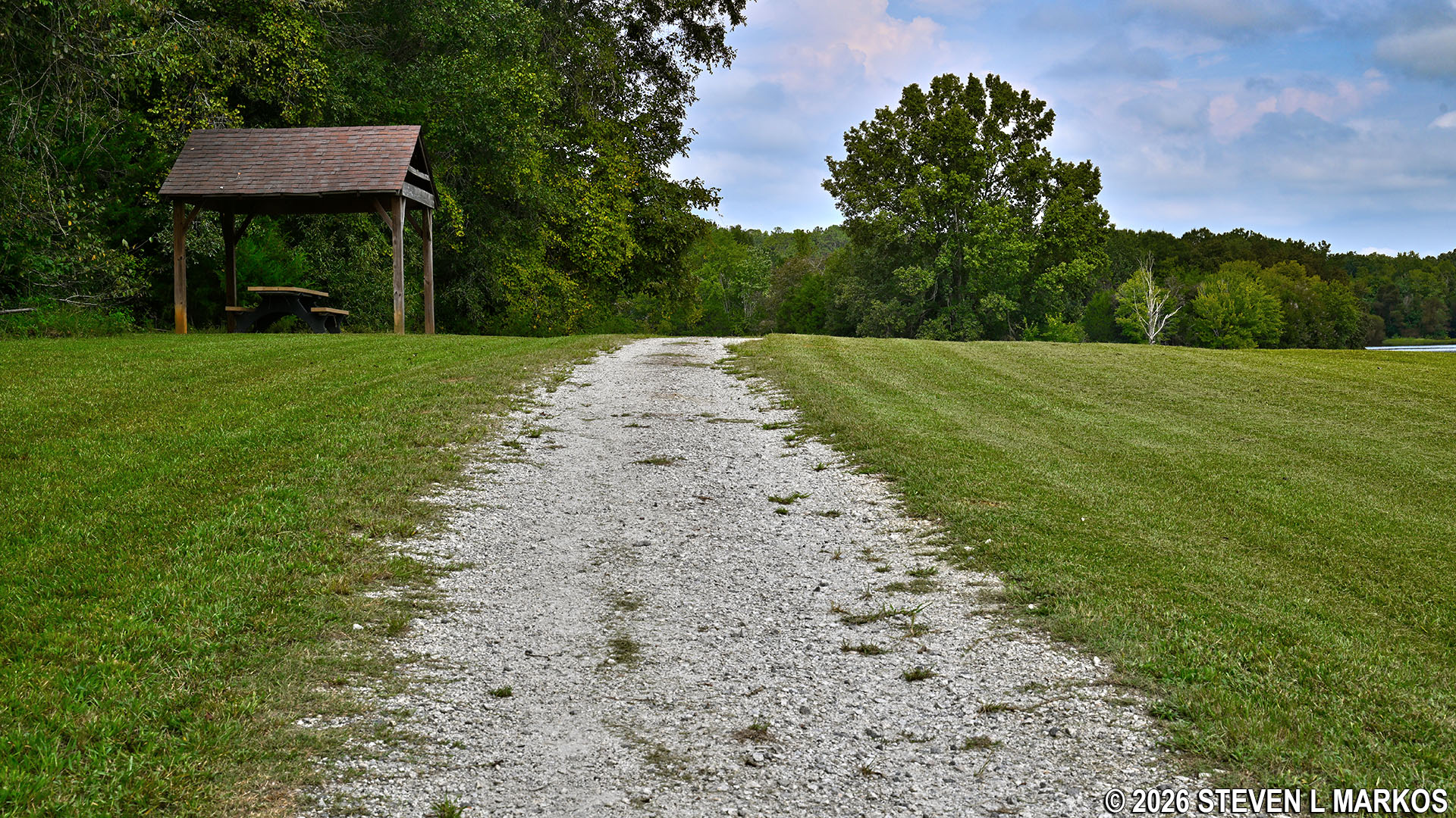
Picnic table near the Star Fort Pond trailhead for the Cherokee Path Trail at Ninety Six National Historic Site
Continue along the gravel path towards the forest. The stretch of lake shore you can see here and on the other side of the lake at the parking lot are the only views of the Star Fort Pond that you will have during the hike. The majority of the Fisherman’s Trail is in the forest, and while you can often see the water, views are obscured by trees and other vegetation.
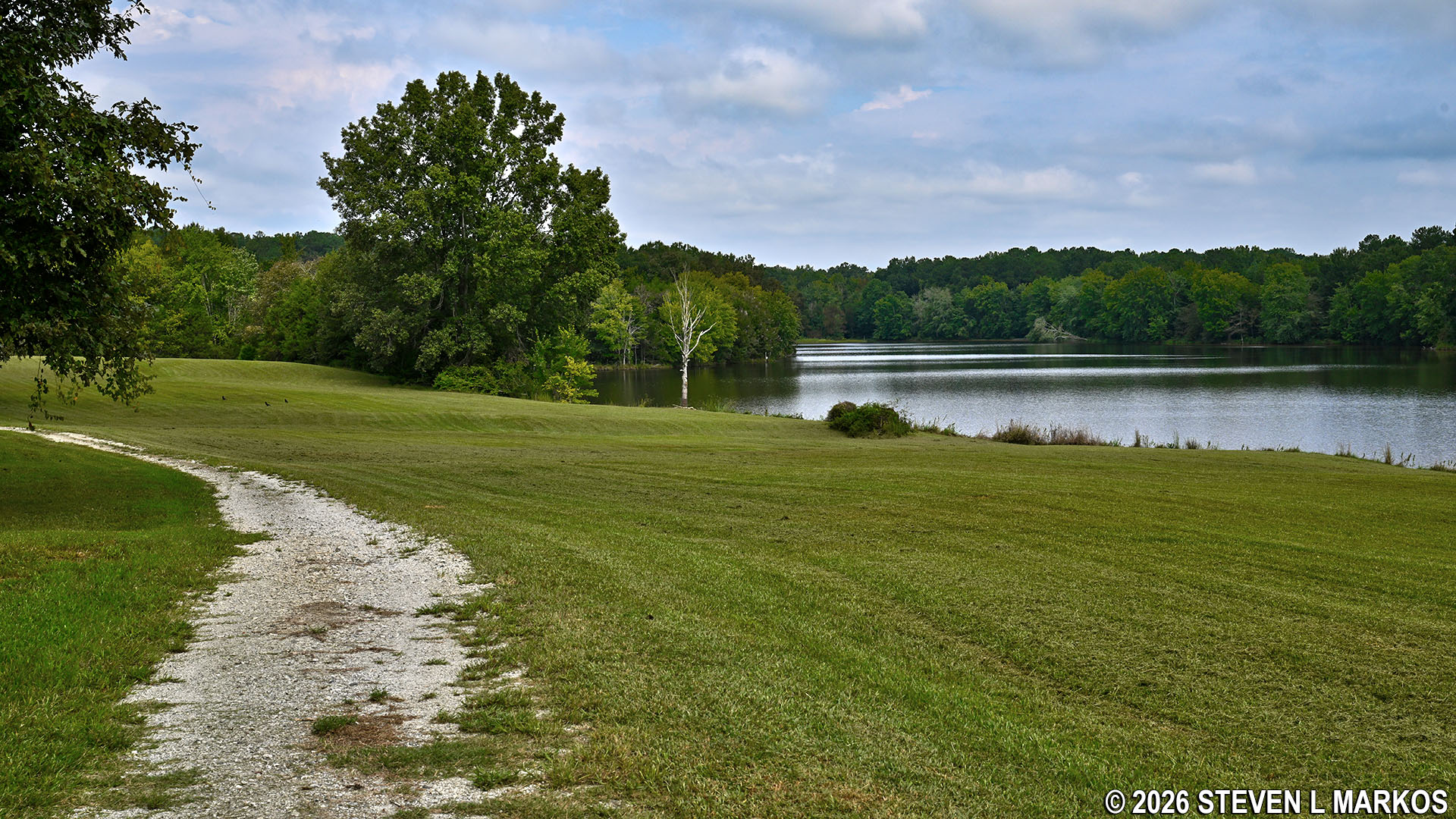
View of the Star Fort Pond from the Fisherman’s Trail at Ninety Six National Historic Site
After a short walk along the southwestern shore (a half mile into the hike), the Fisherman’s Trail enters the forest. At this point the gravel path—which is an old road that now serves as a Horse trail—forks to the left while the hiking trail enters the forest and becomes a traditional earthen trail.
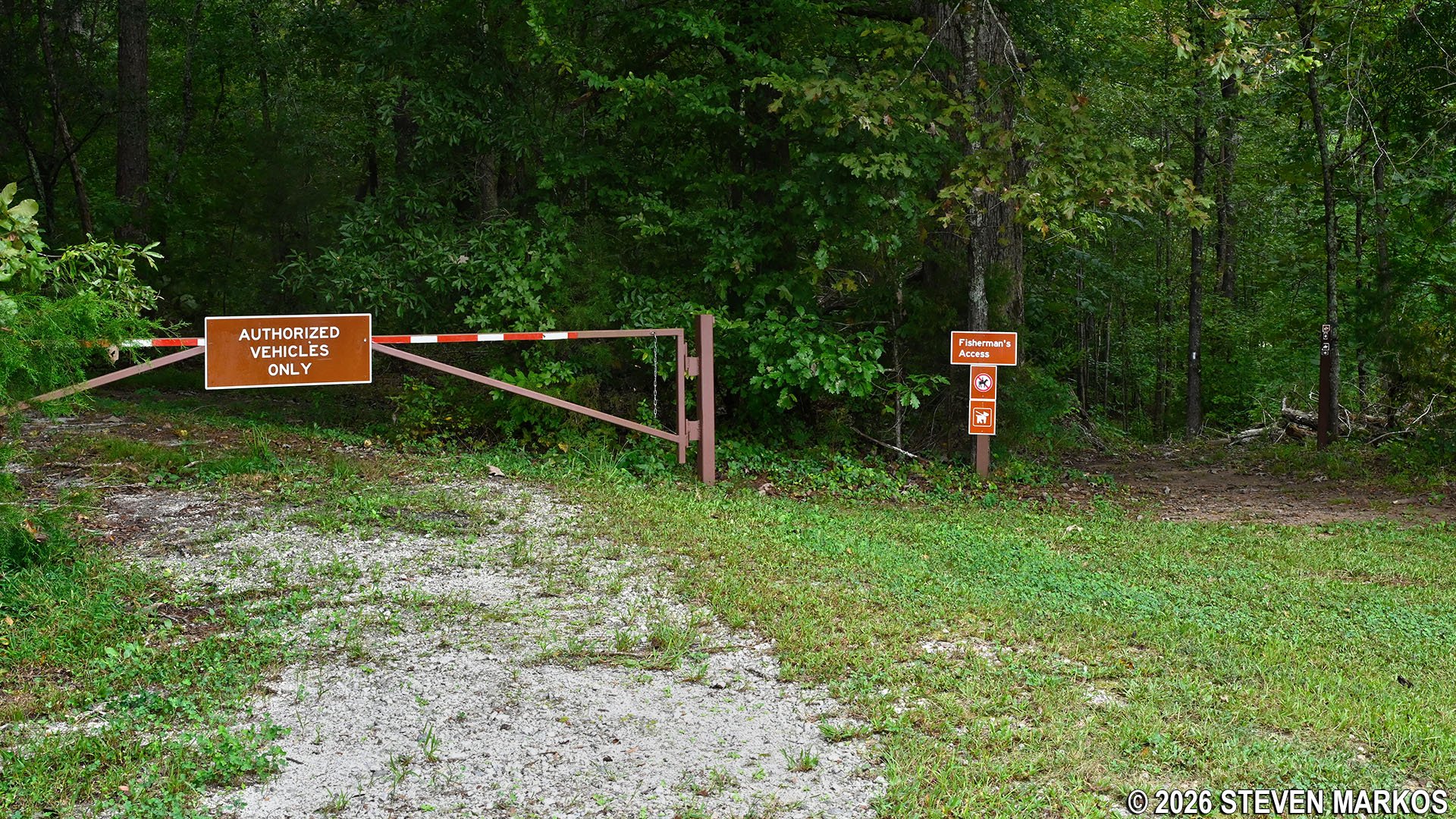
Fisherman’s Trail enters the forest on the western side of Star Fort Pond, Ninety Six National Historic Site
In less than a tenth of a mile after entering the forest is a small pond that is separate from the lake. The lake itself is somewhere off to the right and obscured from view by the forest.
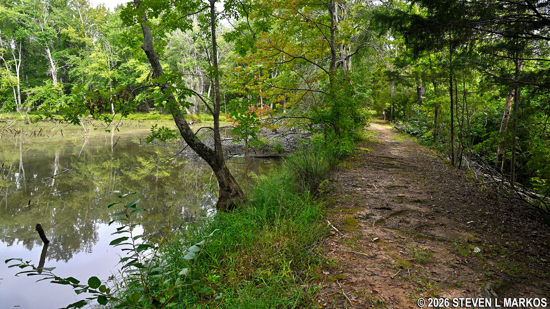
Small pond on the northwestern side of the Fisherman’s Trail at Ninety Six National Historic Site
A minute later is a sign directing hikers to the right while a wider trail continues straight ahead. At this point you can go either way, though following the sign is the official route of the Fisherman’s Trail. For those who want to fish, this leads down to the lakeshore, though finding a clear spot to fish from is not easy. The terrain is also a little more rugged, so if you aren’t fishing, just keep straight. Once at the lakeshore, the official trail curves back away from the water and reconnects with the wider trail just around the corner. Take a right to continue the hike.
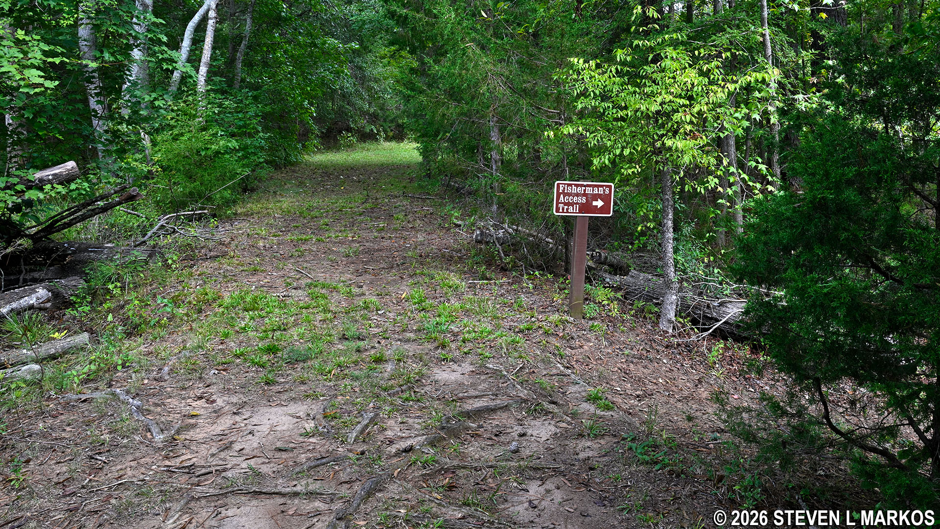
Fisherman’s Trail turns towards the Star Fort Pond shoreline at its northwestern end, Ninety Six National Historic Site
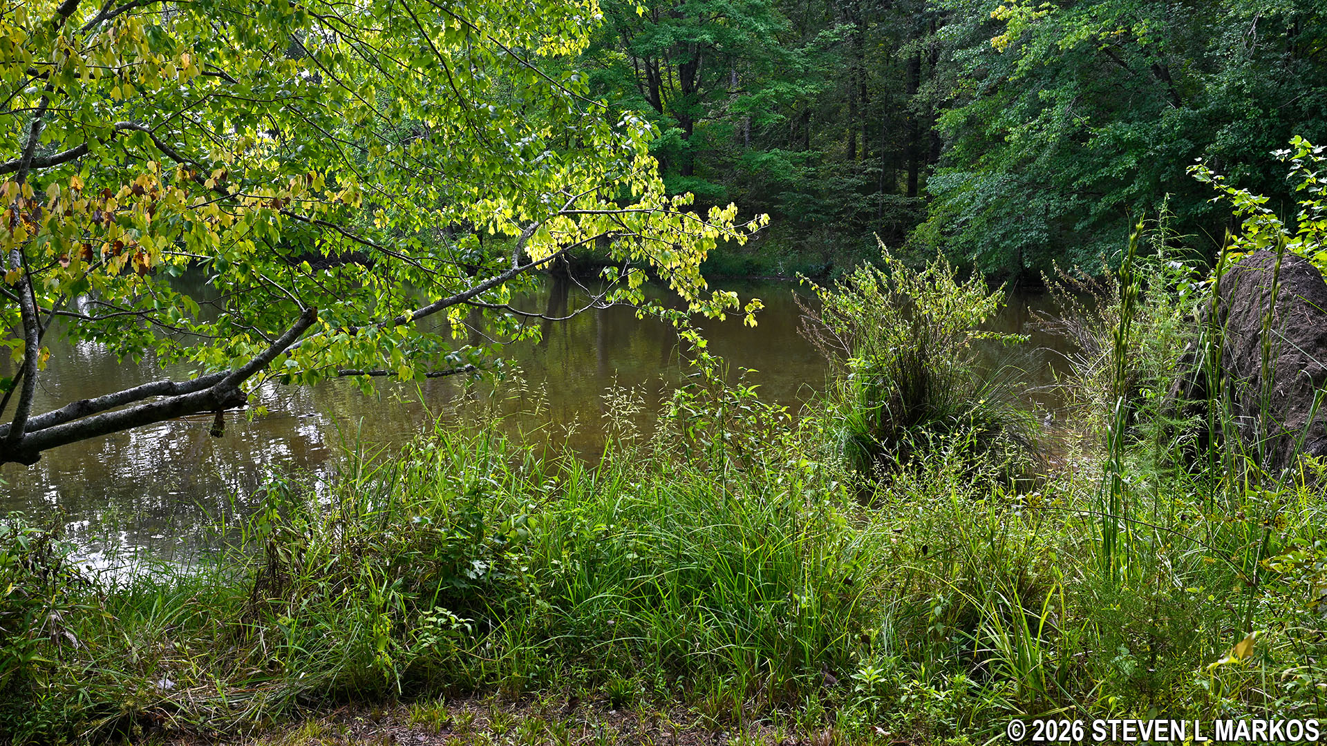
View of the northwestern shore of the Star Fort Pond from the Fisherman’s Trail at Ninety Six National Historic Site
Starting at .75 miles into the hike and lasting for a quarter mile is stretch of the Fisherman’s Trail that follows closely to the northwestern shoreline. The trees are much thinner, and there are a few decent views of the water along this stretch of the trail.
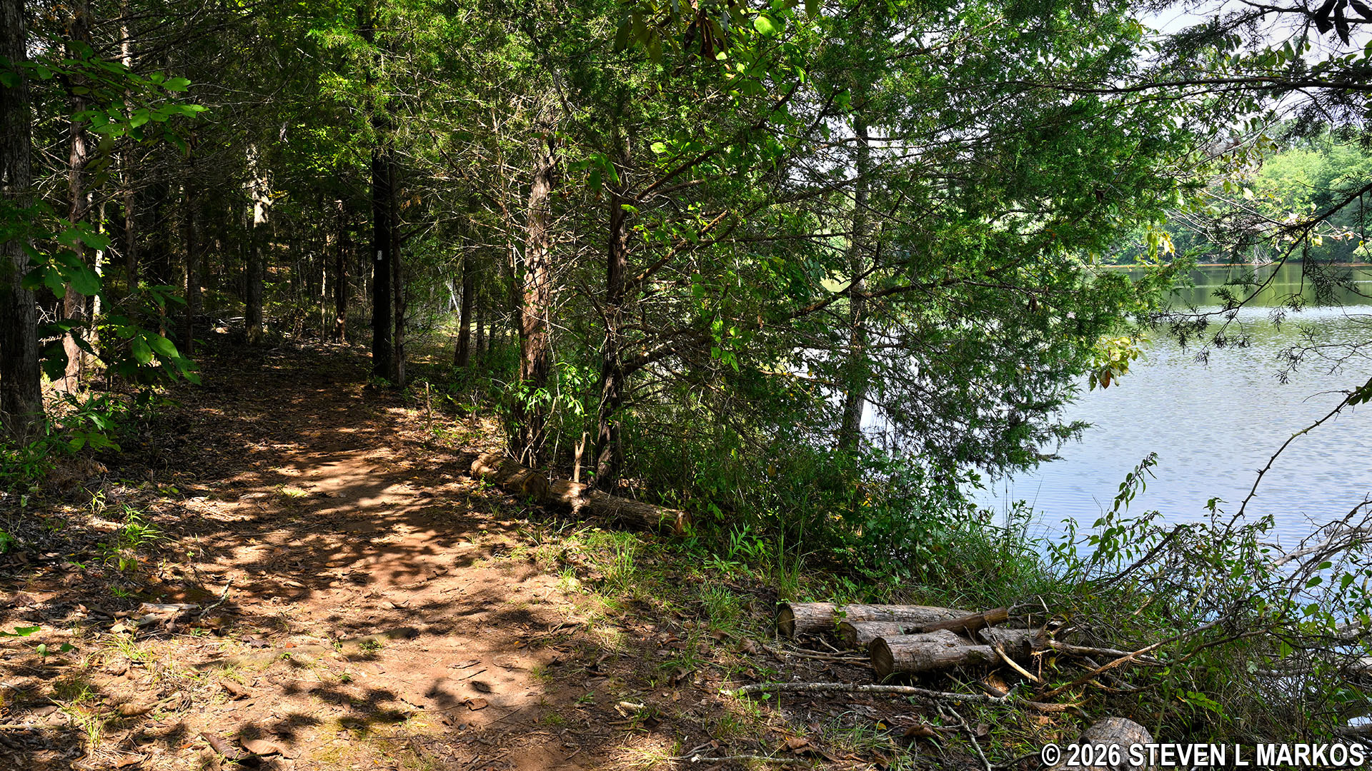
Fisherman’s Trail at the northwestern end of the Star Fort Pond, Ninety Six National Historic Site
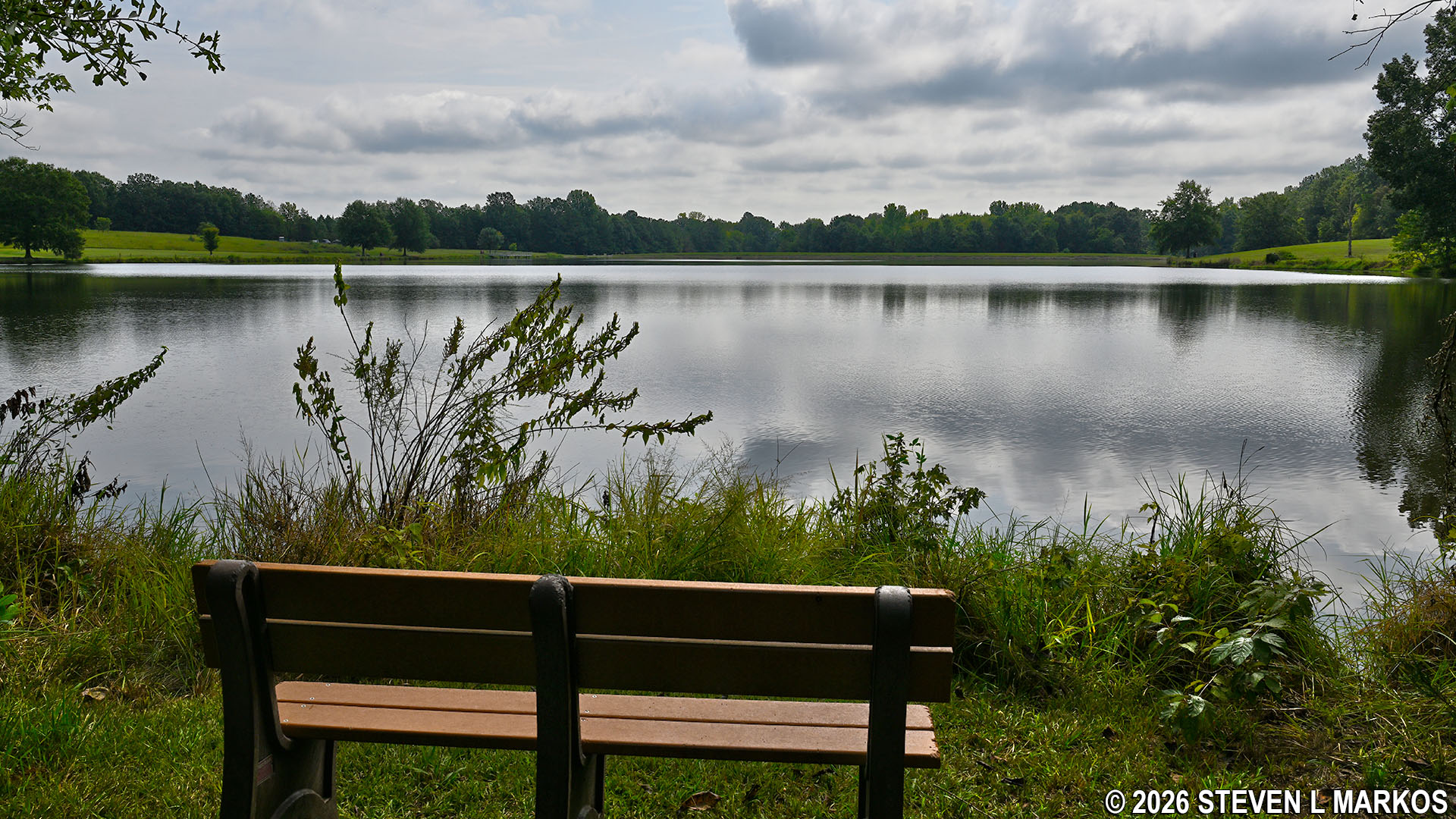
View of the Star Fort Pond from its northwestern shoreline, Ninety Six National Historic Site
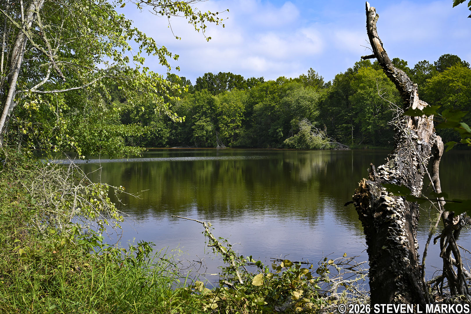
View of the Star Fort Pond from its northwestern shoreline, Ninety Six National Historic Site
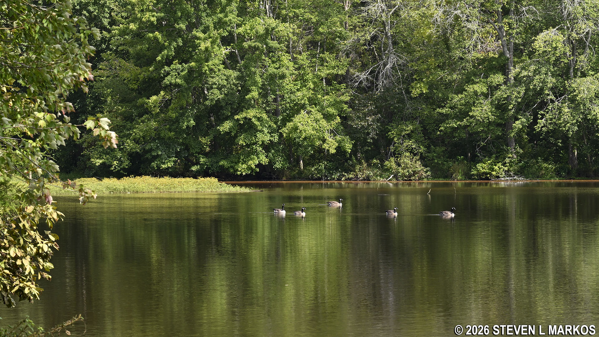
Geese on the Star Fort Pond, Ninety Six National Historic Site
The views come to an end once the trail reaches the far end of the lake and begins to curve back around to the northeastern side.
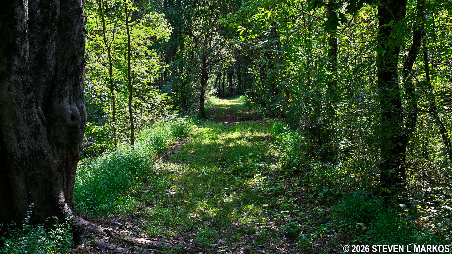
Wooded section of the Fisherman’s Trail at the northern end of the Star Fort Pond, Ninety Six National Historic Site
At the 1.2-mile point on the hike is an intersection marked by another Fisherman’s Access Trail sign. It directs hikers sharply to the right and appears to be doubling back towards the northern end of the lake. To the left is a wide grass path that leads out to an open field, and this seems to be heading south towards the parking lot. While not logical, it is the sharp right that is the correct turn. It does initially turn towards the northern end, but it quickly curves south and heads toward the lake shore. The wider path ultimately leads to the parking lot as well, but it does not follow the lake shore, which is the point of the hike.
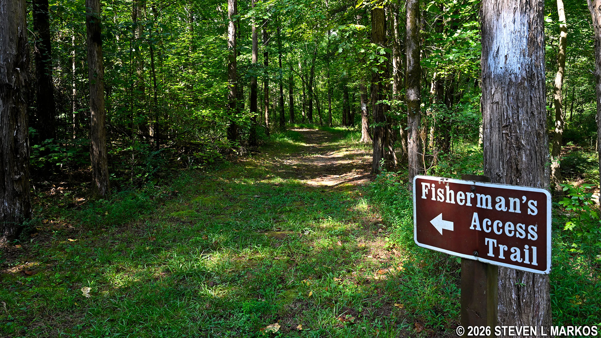
Sharp turn on the Fisherman’s Trail lead to the northeastern shoreline of the Star Fort Pond, Ninety Six National Historic Site
From the sign, it is a .1-mile walk through the woods before coming to the shore. There are once again views of the water, some clear, but most of the time trees get in the way of the view.
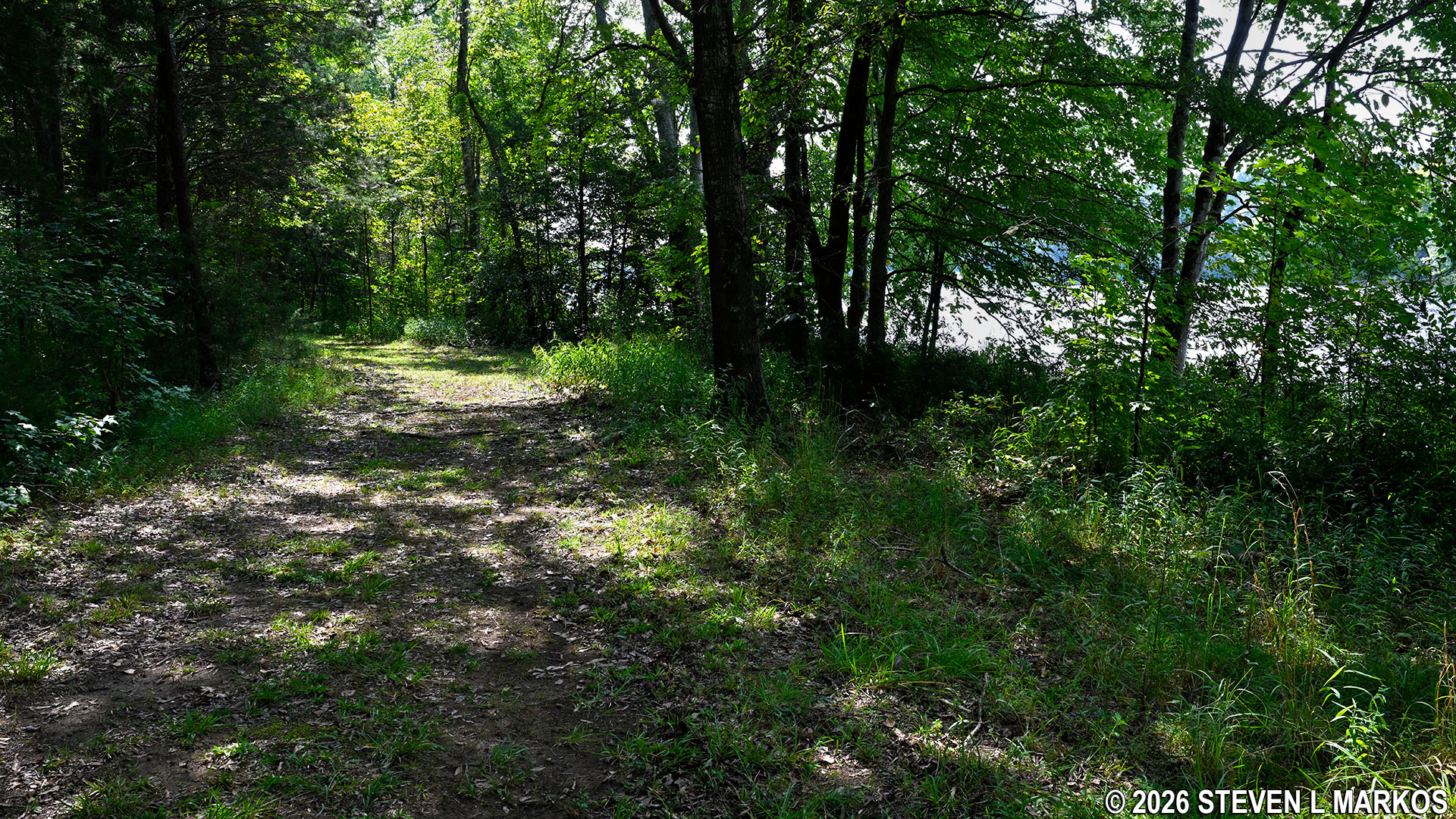
Fisherman’s Trail at the northeastern shoreline of the Star Fort Pond, Ninety Six National Historic Site
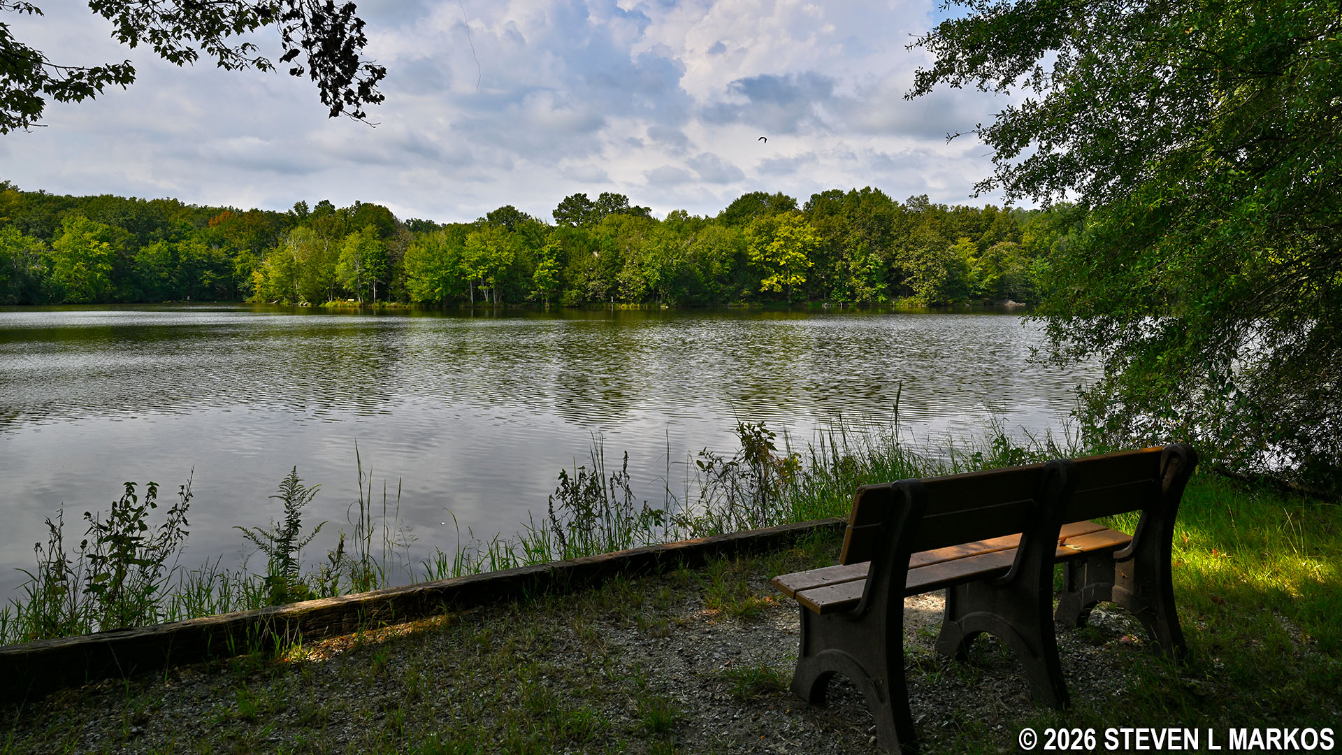
Clear view from the northeastern section of the Fisherman’s Trail of the Star Fort Pond, Ninety Six National Historic Site
The Fisherman’s Trail finally emerges from the woods after 1.6 miles of hiking. This is within eyesight of the parking lot and fishing dock. Just continue along the shoreline for another tenth of a mile to complete the hike. There are a few more benches along this section for those who want to sit and relax.
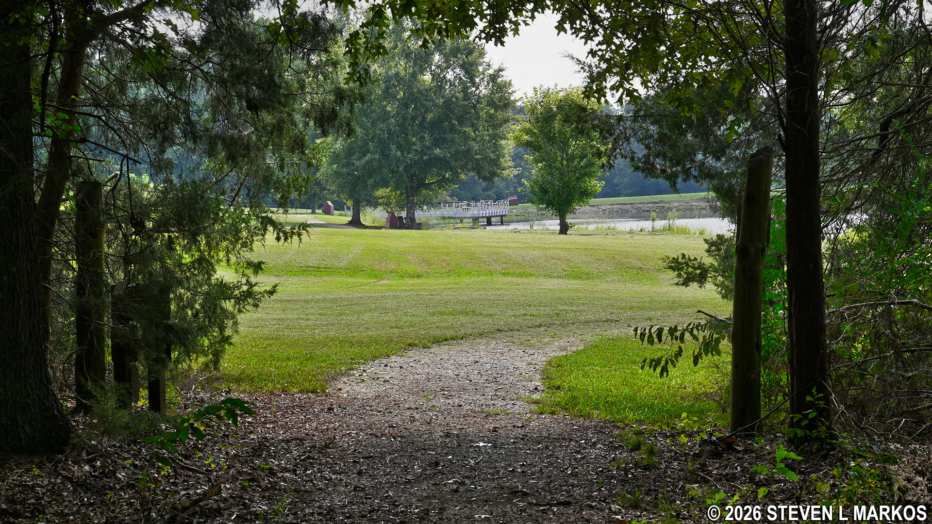
Fisherman’s Trail emerges from the forest at the southeastern end of the Star Fort Pond, Ninety Six National Historic Site
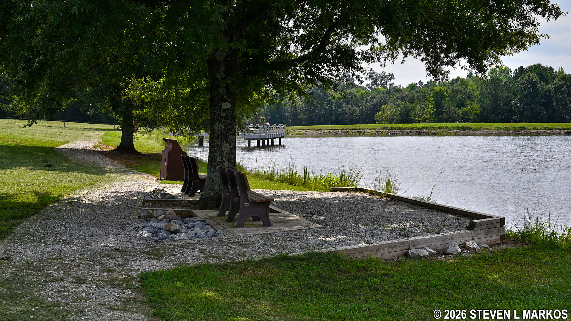
Benches along the Fisherman’s Trail at the southeastern end of the Star Fort Pond, Ninety Six National Historic Site
With a few exceptions, use of any photograph on the National Park Planner website requires a paid Royalty Free Editorial Use License or Commercial Use License. See the Photo Usage page for details.
Last updated on October 16, 2026


