
Upper Delaware Scenic and Recreational River between Mongaup and Sparrowbush, New York
Length: 3 miles
Water Level at Time of Trip: 2.9 to 3.9 feet
Average moving speed: 3.9 MPH with two paddlers
Time: 1 hour
This river review covers the Delaware River from the Mongaup Canoe Launch to the Sparrowbush Boat Ramp, a span of 3 miles. The Sparrowbush ramp is at the No. 2 Railroad Bridge and is the official end of the Upper Delaware Scenic and Recreational River. I continued on to Matamoras, Pennsylvania, and that segment is also reviewed here on National Park Planner. Much beyond that and you are entering into Delaware Water Gap National Recreation Area.
Before starting a trip on the Upper Delaware Scenic and Recreational River, it is a good idea to check the water levels so that you have an idea of the river conditions. Levels of 2.5 to 4 feet are average and provide plenty of water for a trip down the river with conditions suitable for paddlers of all skill levels. The water level gauges relevant to the Mongaup–Sparrowbush section of the river are at Barryville, New York, and Port Jarvis, New York. On the day of my trip in late October, the Barryville gauge was at 3.85 feet and the Port Jarvis gauge at 2.9 feet, and for the most part, there was plenty of water for an enjoyable trip. The observations made in this report are based on these water levels, so adjust your expectations according to the conditions on the day you do the trip. The lower the water, the more often you will hit rocks on the bottom of the riverbed and get stuck. The higher the water, the more paddling skills you need.
If you are looking for whitewater action, the Mongaup–Sparrowbush section is the best within the Upper Delaware Scenic and Recreational River. The previous section, Barryville to Mongaup, isn’t bad either. If you have time for a 15-mile river trip, you should start at Barryville. I do not suggest taking young children in your boat on this section unless they are super kids.
Just past the Mongaup Canoe Launch is where the Mongaup River flows into the Delaware River, and it is here where the large rapids are located. Be sure to hug the right side of the river if you want to be in the thick of the action—or the left side if you want a much easier ride. Sitting in a kayak, some of these waves were head high, Class III or close to it. Though I don’t know for sure what causes these rapids, I suspect that the fast flowing Mongaup is responsible for stirring up much of the turbulence. If you’ve been through the Lambertville Dam on the Lower Delaware River, these waves are every bit as big, though the run is much shorter. If you are in a kayak or raft, be sure to open your drain plugs because you are going to take in some water.
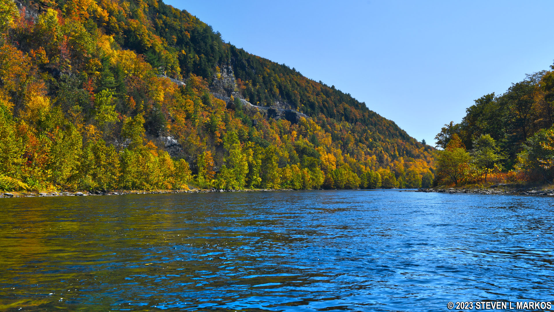
Confluence of the Mongaup and Delaware rivers, Upper Delaware Scenic and Recreational River

Class III rapids on the Delaware River just downstream from the Mongaup Canoe Launch, Upper Delaware Scenic and Recreational River
Once past the Mongaup Rapids, there is a pool of calm water and then a rather long stretch of Class I and II rapids. At the 3-foot water level reported by the Port Jarvis gauge—if it is to be trusted—there were no rocks to dodge. The water was high enough to pass over all of them without scraping the tops.
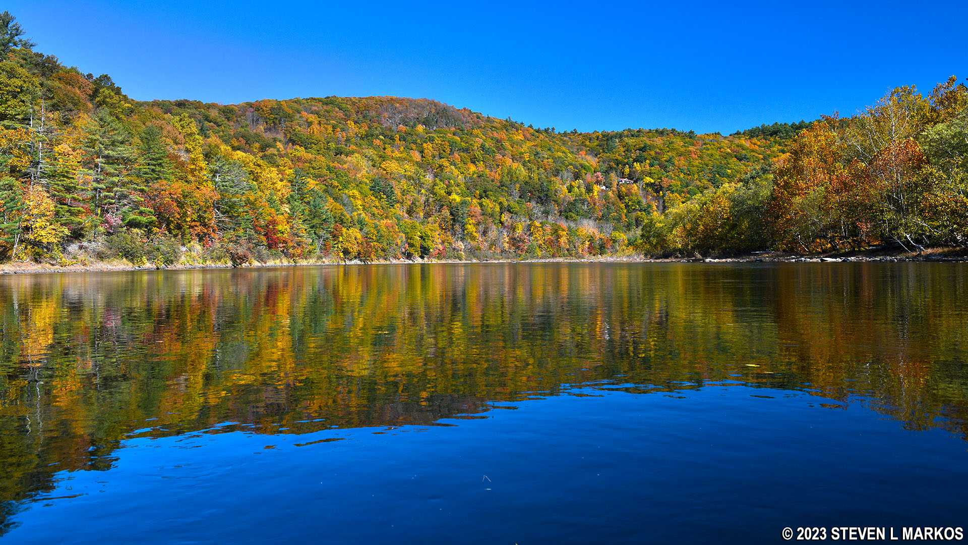
Calm stretch of river below the Mongaup Rapids, Upper Delaware Scenic and Recreational River

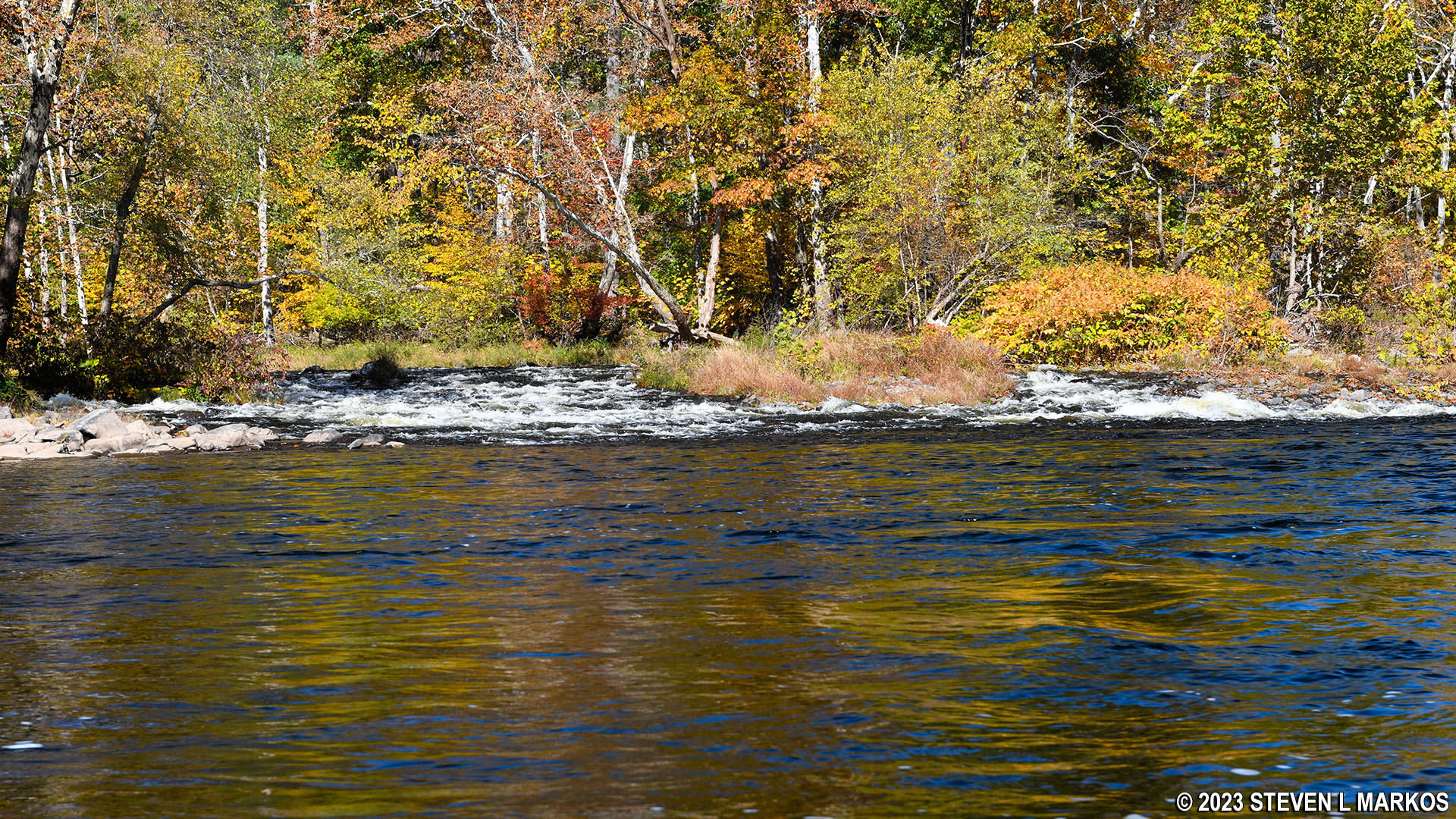
Smaller rapids downstream of the large Mongaup Rapids on the Upper Delaware Scenic and Recreational River
A mile into the journey, the Delaware River curves around a bend to the south. If you have driven along NY 97 in this area, you may have noticed pullouts along the road with great views of the river down below. At this bend, you are now looking up at those overlooks.
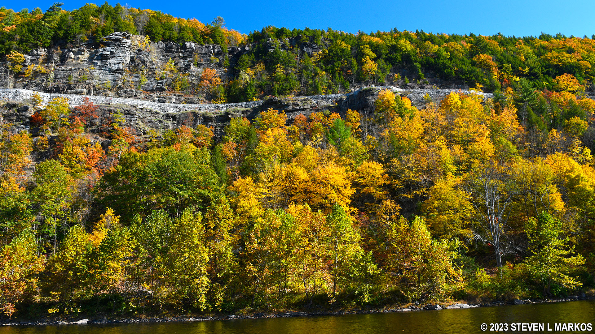
View from the Upper Delaware Scenic and Recreational River of the overlooks on NY 97 between Mongaup and Sparrowbush
As the river heads south, the water is very calm. It wasn’t until coming to Cherry Island nearly 1.5 mile past the bend in the river before things picked up again. I took the channel to the right of the island and hit another good run of rapids. I did have to dodge a few rocks—and even hit one due to the sun blinding me. As you come to the downstream end of the island, you will see the No. 2 Railroad Bridge.

Rapids upstream from the No. 2 Railroad Bridge near Sparrowbush, Upper Delaware Scenic and Recreational River
The Sparrowbush Boat Ramp is a tenth of a mile past the bridge and on the New York (left) side of the river. I immediately cut to the left after going under the bridge, but this thrust me into the middle of some small rapids and a lot of exposed rocks to dodge. It is best to avoid the turbulent water and just keep straight until you see the boat ramp, then head to it. The water gets deeper once you get beyond the rapids.

View of the Sparrowbush Boat Ramp from the Upper Delaware Scenic and Recreational River

Rocks in the water just downstream from the No. 2 Railroad Bridge, Upper Delaware Scenic and Recreational River
Next River Section | Previous River Section | River By Section Home Page
With a few exceptions, use of any photograph on the National Park Planner website requires a paid Royalty Free Editorial Use License or Commercial Use License. See the Photo Usage page for details.
Last updated on August 19, 2023


