
Start of the Carriage Road Nature Trail at Johnstown Flood National Memorial
Length: 1 mile
Time: 30 minutes
Difficulty: Easy, with one uphill stretch
The Carriage Road Nature Trail at Johnstown Flood National Memorial is an out-and-back trail that follows an original section of a carriage road once used by guests of the former South Fork Fishing and Hunting Club. It can be combined with the Arbor Trail to form a loop. This only adds .1 mile to the hike versus walking back and forth on the Carriage Road Nature Trail, so you might as well walk the loop and avoid seeing the same things twice.
From Pittsburgh, members and guests of the club took a train to Johnstown, then another to South Fork where a chauffeur with horse and carriage awaited them. A carriage road connected the town to Lake Conemaugh, passing over the South Fork Dam so those arriving would have a wonderful view of the water. The section of the original carriage road just past the south end of the dam still survives today, and it is now called the Carriage Road Nature Trail.
There are two places where you can start your loop hike: at the parking lot for the South Abutment of the South Fork Dam and at the Johnstown Flood National Memorial Picnic Area. I suggest starting at the dam because this is an important stop when touring the park, and you are more likely to be here than at the picnic area. I will describe the hike from this point.
The South Abutment parking lot serves as the location for both the Carriage Road Nature Trail and the South Fork Dam Trail. If looking towards the dam from the Visitor Center and Museum, the south side of the dam is on the far side of the former Lake Conemaugh. You cannot reach this side by foot (at least not in a timely manner), so you must drive to it. If you are taking the suggested Self-Guided Tour of Johnstown Flood National Memorial, this is your last stop.
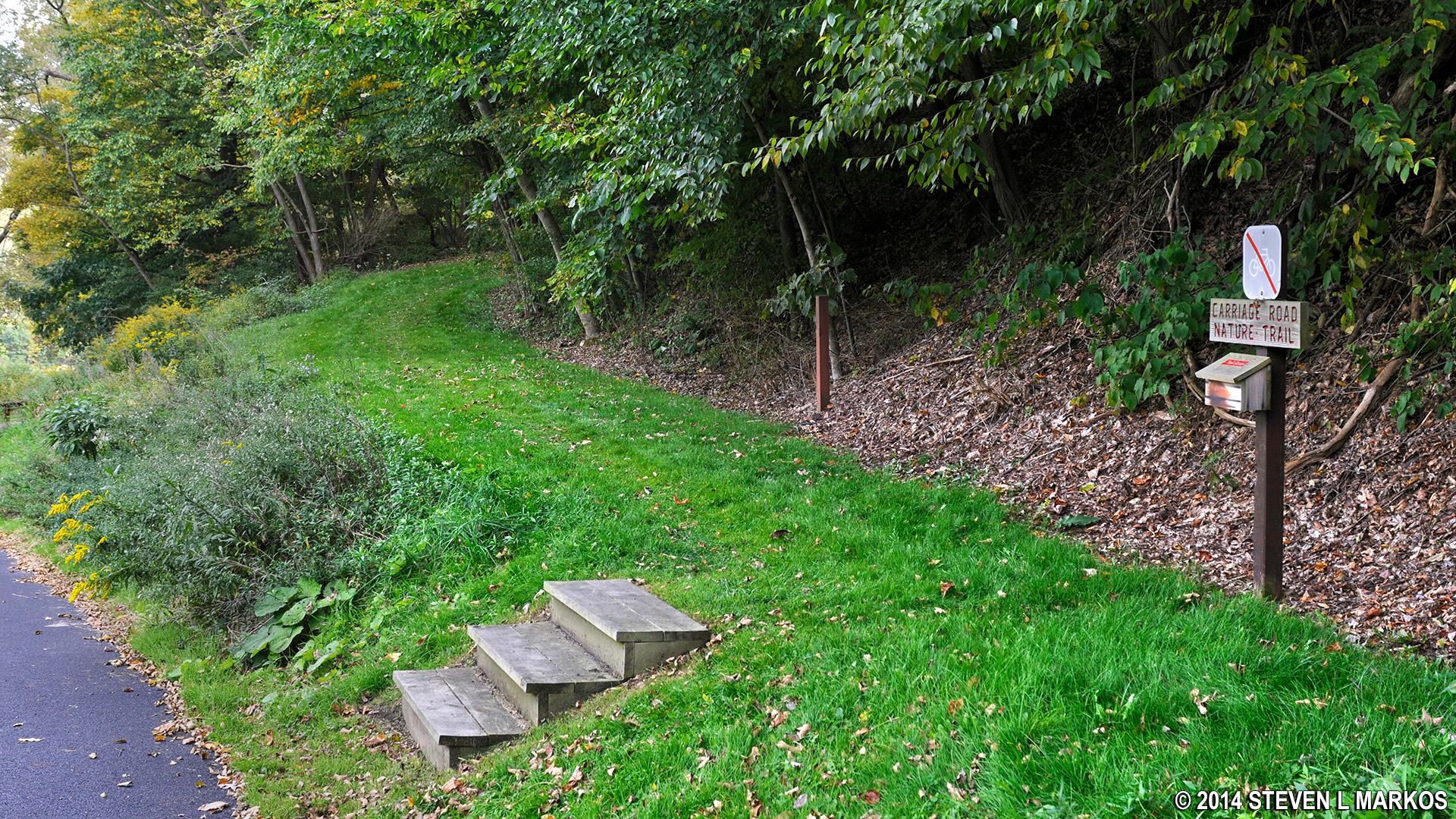
The trailhead for the Carriage Road Nature Trail is located nearly opposite from the trailhead for the South Fork Dam Trail. Walk up a couple of steps and follow the grass path to the start of the gravel carriage road.
The carriage road portion of the hike is relatively flat and very wide. Benches are placed periodically along the way. When you come to the intersection with the Arbor Trail, which marks the start of the loop, stay straight on the Carriage Road Nature Trail (directional signage is posted at the intersection). This sets you off hiking the loop in the clockwise direction, and it is the easiest way to go. If you were to take the Arbor Trail now and hike the loop in the counterclockwise direction, you would be walking uphill the entire time on the Arbor Trail.

Typical terrain of the Carriage Road Nature Trail at Johnstown Flood National Memorial
The carriage road eventually ends at the corner of South Abutment Road and Picnic Area Road. To continue the loop, follow the sign to the picnic area. This is a fairly steep, uphill walk along the road that takes no more than five minutes. This is the only hard part of the hike.
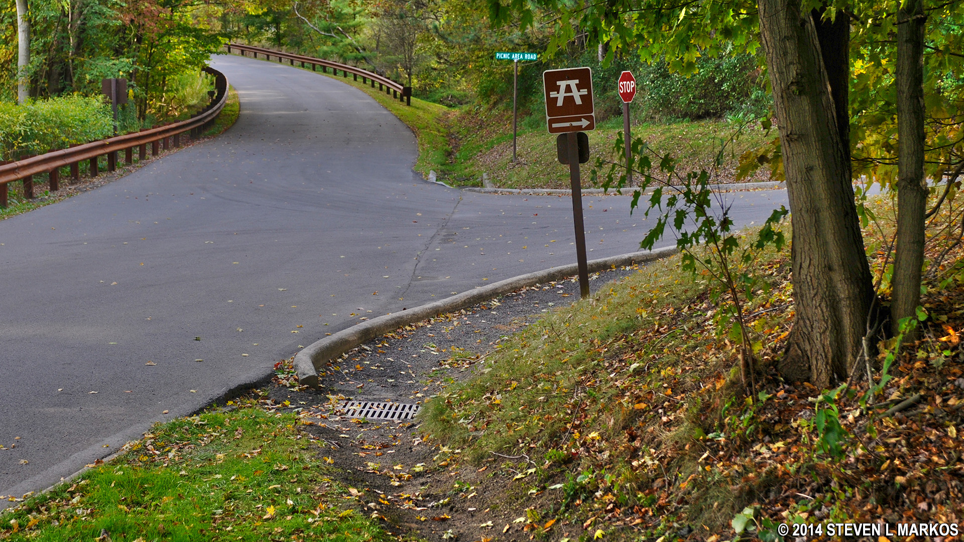
The Carriage Road Nature Trail ends at the corner of South Abutment Road and Picnic Area Road, Johnstown Flood National Memorial
Once at the picnic area, walk to the far right-hand corner and you will find a large CARRIAGE ROAD NATURE TRAIL sign. This is really the Arbor Trail. There are 13 stops on the trail, each marked by a numbered post. A description of the trees at each stop is in the trail guide. If you don’t already have one, a brochure box is attached to the trail sign—and hopefully stocked with guides. If you don’t care about trees, just hike down the trail to get back to your car.
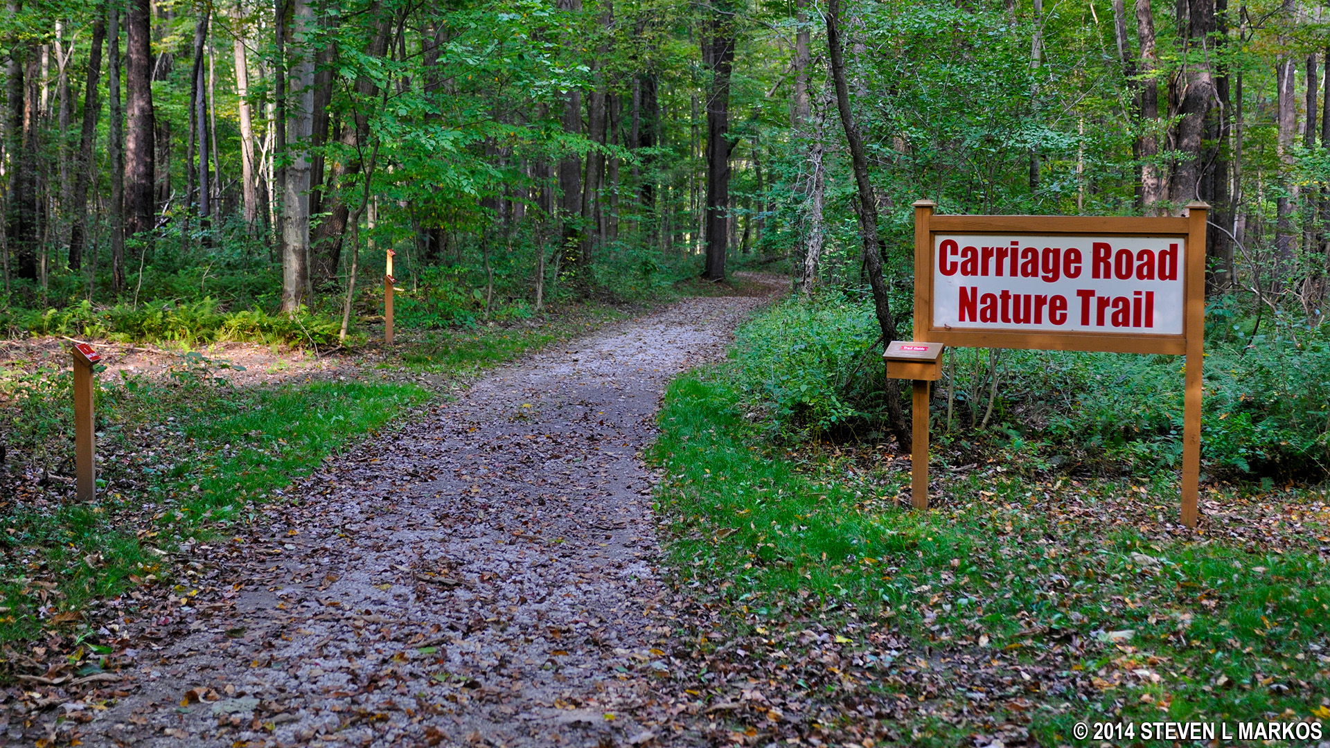
Trailhead for the Arbor Trail (Carriage Road) at the Johnstown Flood National Memorial Picnic Area
The Arbor Trail runs downhill from the picnic area. Like the Carriage Road Nature Trail, it is a smooth trail, free of roots and rocks that can trip you up. The only difference is that it is not as wide.
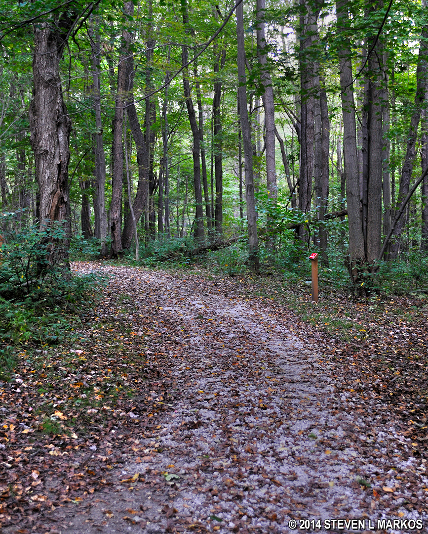
Typical terrain of the Arbor Trail at Johnstown Flood National Memorial
When the Arbor Trail connects back with the Carriage Road Nature Trail, take a left to return to the parking lot. The round trip takes about a half hour.
With a few exceptions, use of any photograph on the National Park Planner website requires a paid Royalty Free Editorial Use License or Commercial Use License. See the Photo Usage page for details.
Last updated on April 6, 2025


