

South Abutment of the South Fork Dam at Johnstown Flood National Memorial
Johnstown Flood National Memorial Self-Guided Tour Main Page
SELF-GUIDED TOUR STOP 3
The third stop on a self-guided tour of Johnstown Flood National Memorial is the south abutment of the former South Fork Dam. To get here from Stop 2: St. Michael Historic District, stay on Main Street and it will eventually merge back onto Locust Street. Once on Locust, take the first right onto South Abutment Street. The parking lot is located at the end of the road.
When standing at the overlook platform for the south abutment and looking towards the north abutment, realize that people once walked or rode carriages between these two points along the top of the South Fork Dam. When you see how long, wide, and deep the gap is between the two overlooks, you’ll finally grasp the scope of just how much earth was washed away in the Johnstown Flood.

View of the north abutment from the south abutment of the former South Fork Dam, Johnstown Flood National Memorial
You will also get a great view into what used to be Lake Conemaugh. The National Park Service cleared much of the trees and brush that once grew in the former lake bed, and goats now eat the weeds to help keep things clear. This greatly improves the visitor experience because without all the vegetation in the way, you can now really see how deep the lake used to be. You can even hike down into the lake bed and through the gap in the dam on the Walk Through the Ruins Trail, which begins next to the south abutment overlook. It is .4 mile long and takes about 30 minutes. If you can climb staircases, I highly recommend this hike.
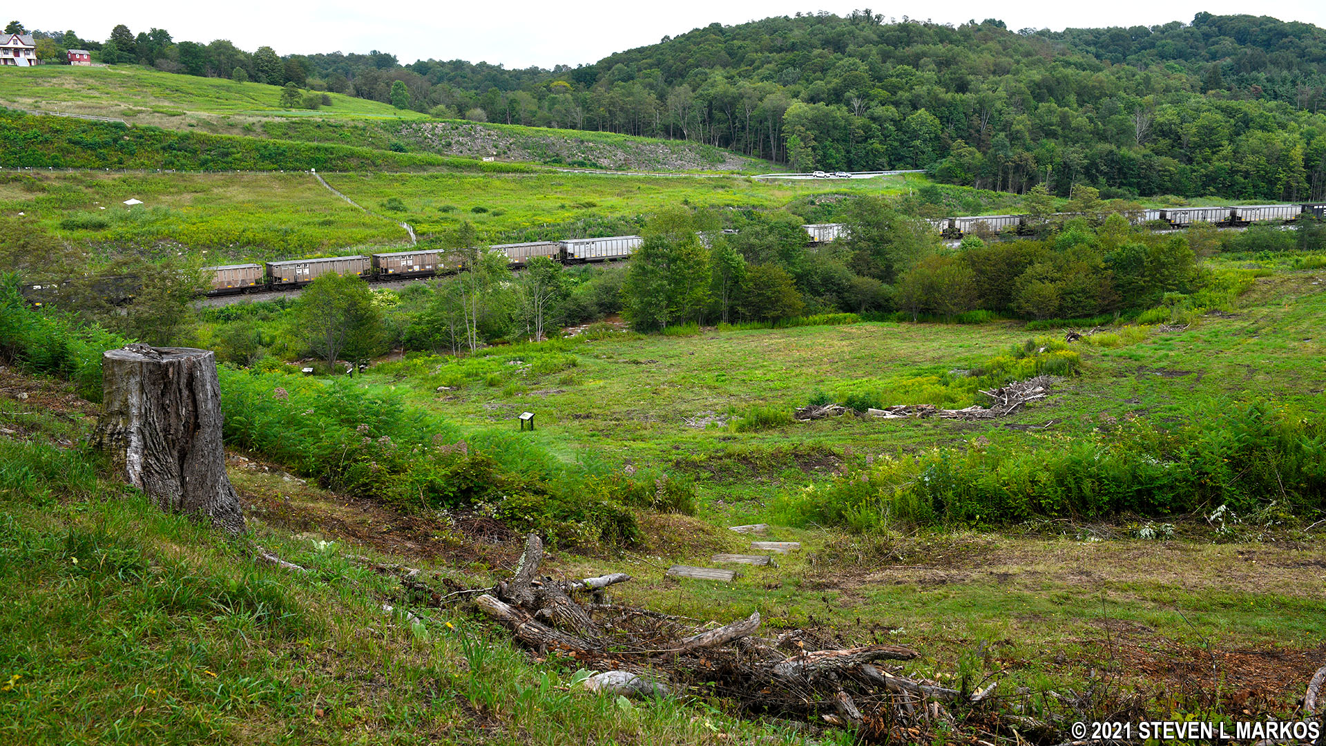
View of the former Lake Conemaugh lake bed from the south abutment of the South Fork Dam, Johnstown Flood National Memorial
On the opposite side of the parking lot is the trailhead for the Carriage Road Nature Trail. This is a segment of the original carriage road used by guests of the South Fork Fishing and Hunting Club. Upon arriving at the South Fork train station, a chauffeur and carriage picked up members and guests and transported them to the club. The carriage traveled over the top of the dam, from the north side to the south, to give everyone an awe-inspiring look at the lake upon arrival. The surviving segment of the carriage road is the section just after the guests would have crossed the dam. The Carriage Road Nature Trail can be combined with the Arbor Trail to form a 1-mile loop that takes about a half hour to complete. It is a nice walk if you have the time, but do the South Fork Dam Trail if you must choose between the two.

Carriage Road Nature Trail at Johnstown Flood National Memorial
Johnstown Flood National Memorial only preserves the South Fork Dam ruins and the historic buildings at St. Michael. For a more complete picture, those with time may want to visit the Johnstown Flood Museum and Grandview Cemetery in the city of Johnstown. These are not part of the National Memorial, but they are just as important for understanding the history of the flood. For more information, see the Related Sites web page here on National Park Planner.
With a few exceptions, use of any photograph on the National Park Planner website requires a paid Royalty Free Editorial Use License or Commercial Use License. See the Photo Usage page for details.
Last updated on April 8, 2025


