

The Allée connects the Flight 93 Visitor Center to the Memorial Plaza
Length: 1.1 mile
Time: 30 minutes
Difficulty: Easy
Visitors to Flight 93 National Memorial should begin their exploration of the park at the Visitor Center and Flight 93 Museum, one of the best museums in the National Park system. From there, the next stop is the Memorial Plaza at the actual crash site in the field below. Guests can drive to the plaza, but for those who would like some exercise, there is also an option to take a relatively easy stroll along the Allée, a 1.1-mile path to the Memorial Plaza that follows the arc of a circle. You can return to the Visitor Center along this same path, or better yet, make a loop out of the journey by retuning on the .6-mile Western Overlook Trail. (Note: an Allée is an alley in a formal garden or park.)
The start of the Allée is at the back entrance of the Visitor Center. From the parking lot you don’t actually have to go very far because you are looking at the back entrance. However, instead of jumping directly on the trail—an obvious wide, dirt path—first go through the Flight 93 Museum. When you are at the last exhibit, you’ll be at the back door. Step outside to start your walk along the Allée.
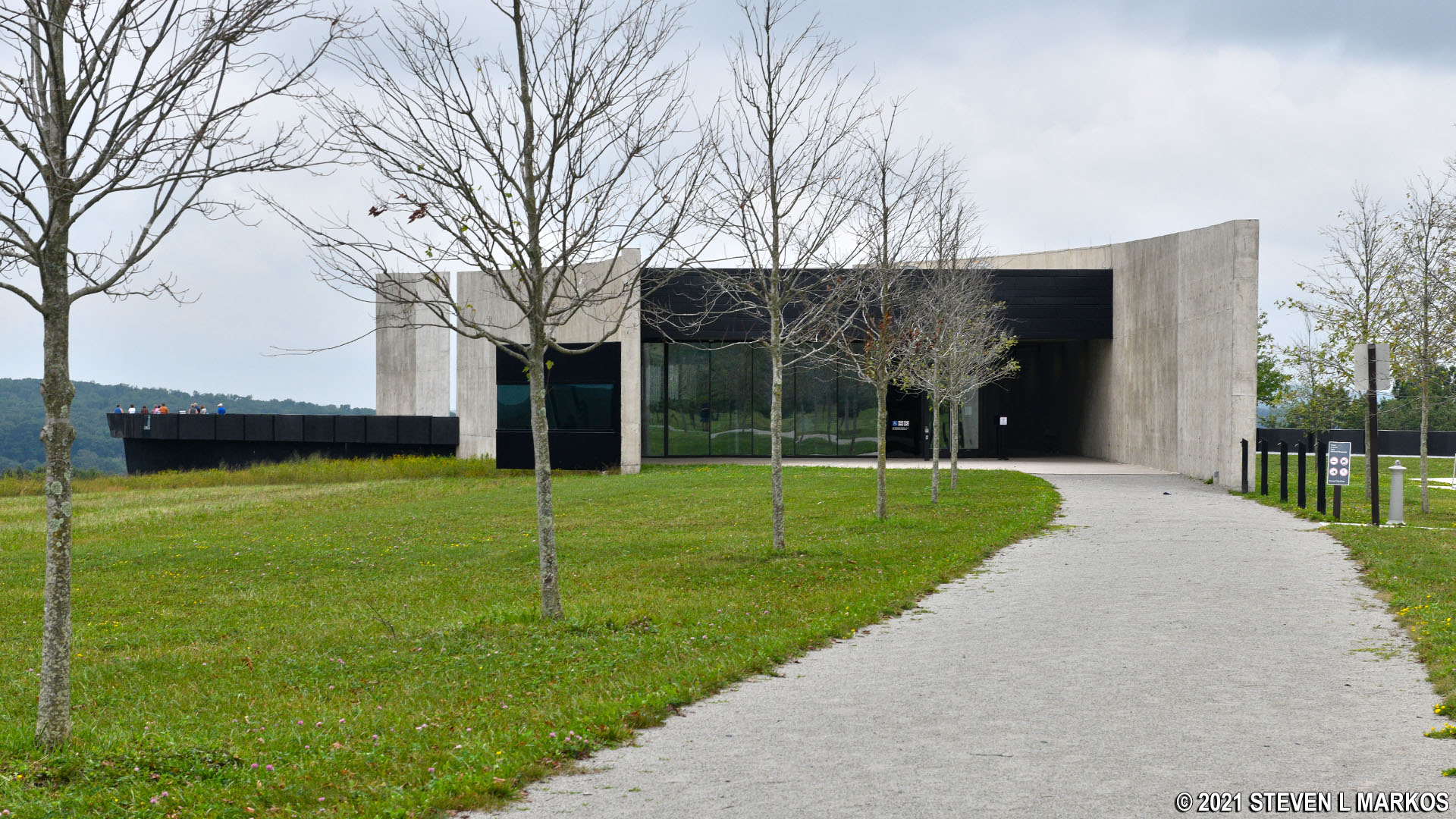
The Allée starts at the back door of the Flight 93 National Memorial Visitor Center
Being on a hill above the Memorial Plaza, it should come as no surprise that you will be walking downhill from the Visitor Center. However, the descent is very gradual. The grade of the hill never exceeds 5%, which is within the bounds of being wheelchair accessible. However, sections of the finely-crushed stone path are often washed out, so the trail is not always wheelchair friendly. This is a constant problem (the trail was rutted during my 2021 and 2024 visit). While the trail may be graded smooth from time to time, the ruts are just going to come back the next time there is a heavy rain. I don’t know why the National Park Service didn’t pave the trail to begin with.
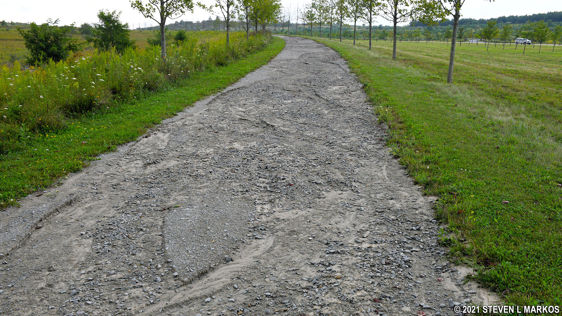
Rutted section of the Allée at Flight 93 National Memorial
As one of the main features, the National Park Service promotes the 40 groves of red maple trees along the Allée, one grove for each passenger and crew member on United 93 (not including the terrorists, of course). If looking at a satellite map, the distinction between the groves is evident, but up close on the trail you’ll just see an endless procession of trees on your left. They are still quite small, having only been planted in the summer of 2016. There are also trees that line the actual walking path, but these are not part of the memorial groves.
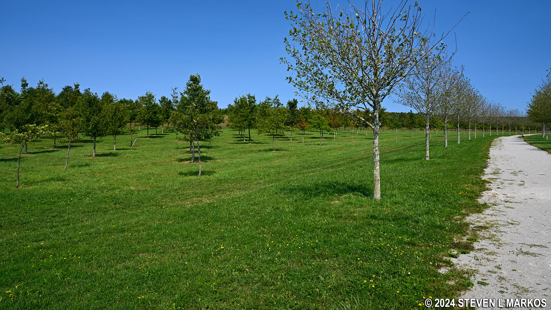
Groves of young maple trees along the Allée at Fight 93 National Memorial
Another prominent feature of the Allée is a bridge that passes over a wetland area and small pond.
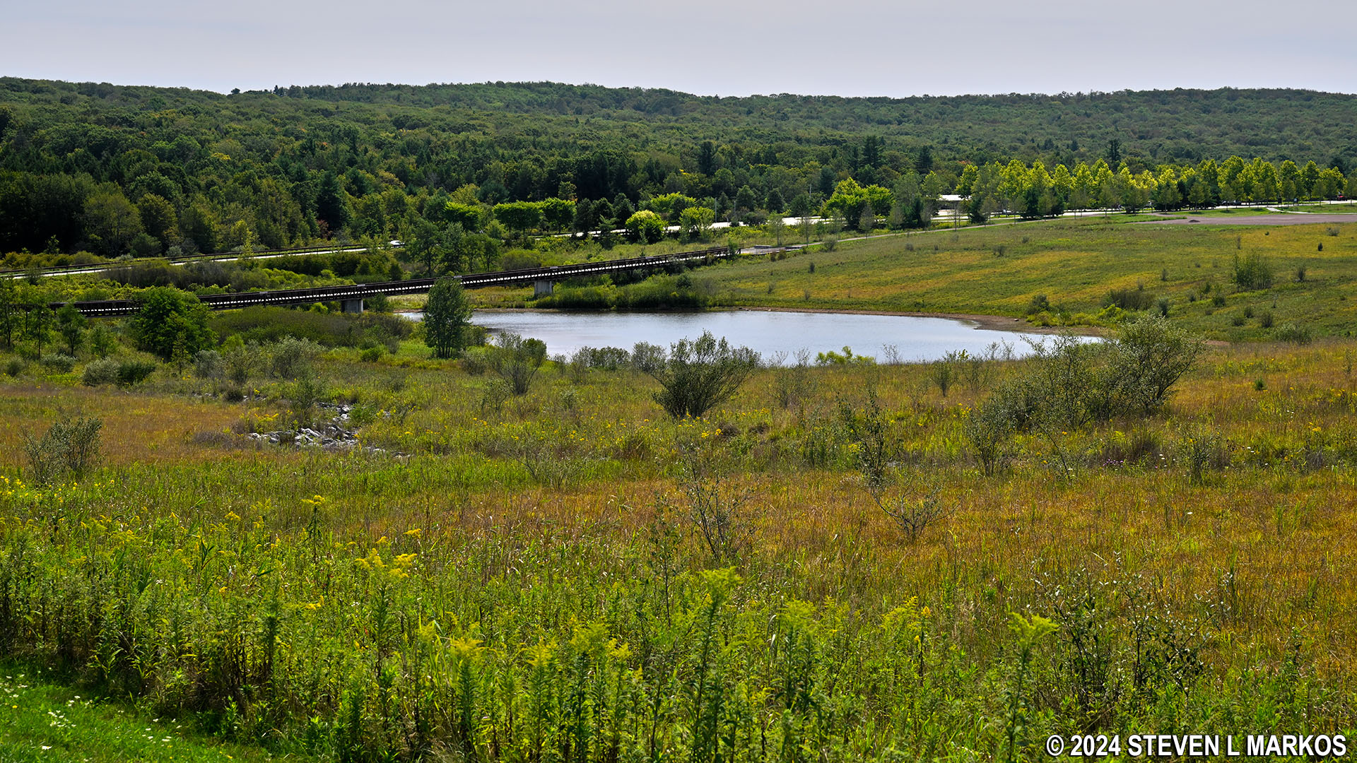
Wetland area and pond at Flight 93 National Memorial
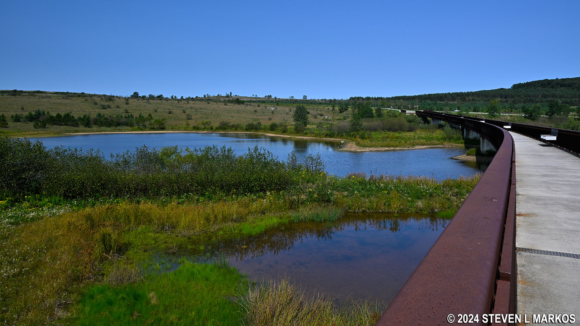
The Allée Bridge over a pond near the Memorial Plaza at Flight 93 National Memorial

Deer in the wetland area near the Memorial Plaza at Flight 93 National Memorial
The Allée ends at the flagpole and benches next to the Visitor Shelter at the Memorial Plaza. If you want to hike back to the Visitor Center on the Western Overlook Trail, you’ll find the trailhead at the far end of the plaza at the Wall of Names. This is without a doubt the best way to return.
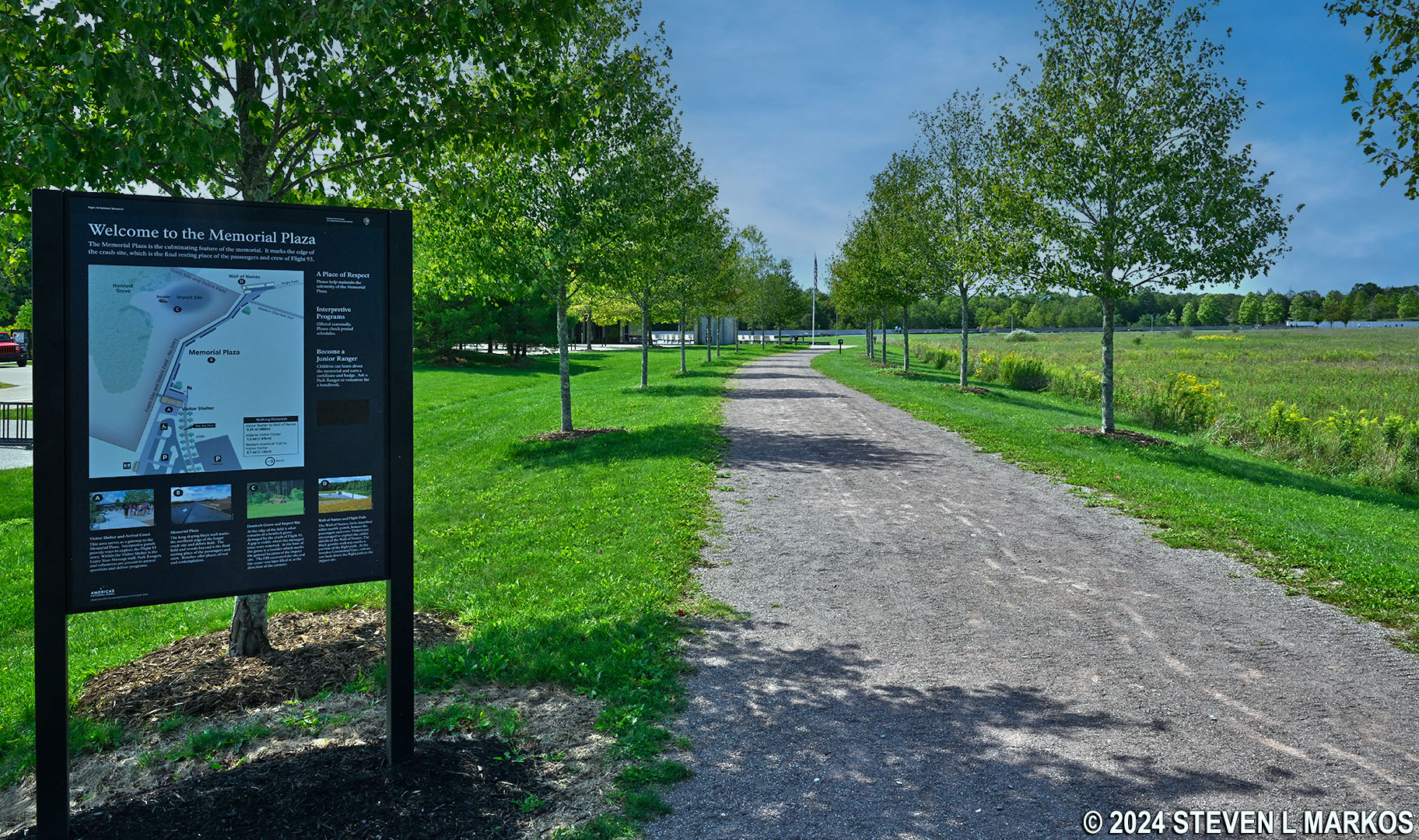
The Allée ends at the Flight 93 Memorial Plaza
With a few exceptions, use of any photograph on the National Park Planner website requires a paid Royalty Free Editorial Use License or Commercial Use License. See the Photo Usage page for details.
Last updated on October 11, 2024


