
Military Road Trail in Delaware Water Gap National Recreation Area
Length: 1.1 mile, one way
Time: 1 hour
Difficulty: Moderate
The Military Road Trail in Delaware Water Gap National Recreation Area is all that remains of the original Military Supply Road that once stretched from Old Mine Road to Elizabeth Town, New Jersey (now Elizabeth). It was built between 1756 and 1757 to bring men and supplies to what was then the frontier during the French and Indian War (1754-1763).
The Military Road Trail runs between Walpack Center on the east side and Old Mine Road on the west side. However, there isn’t much point in simply hiking out and back. The better option is to combine it with the Walpack Ridge Trail to form a hat-shaped loop, which is what I did. I hiked the entire Military Road Trail starting at Walpack Center, then caught the Walpack Ridge Trail on my way back. This report covers only the one-way hike on the Military Road. See the Walpack Ridge Trail report for information on that hike.

Map of Walpack Center Area Trails (click to enlarge)
Walpack Center is the best place to start the hike due to parking. Use the parking lot on Main Street at the old school house (across from the church). From there it is a 300-yard walk down the road to the trailhead near the Walpack Center General Store and Post Office. There is no parking on Old Mine Road short of just pulling off on the shoulder, and even then there is only room for one or two cars.

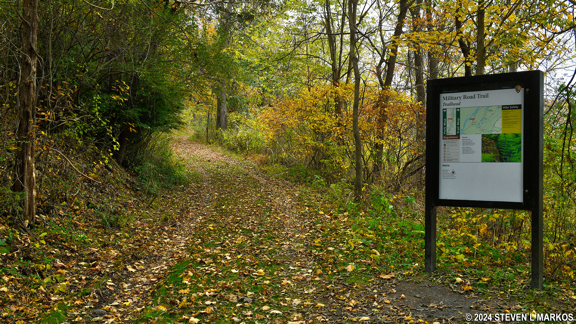
The Military Road Trail starts across the street from the Walpack Center Post Office in Delaware Water Gap National Recreation Area

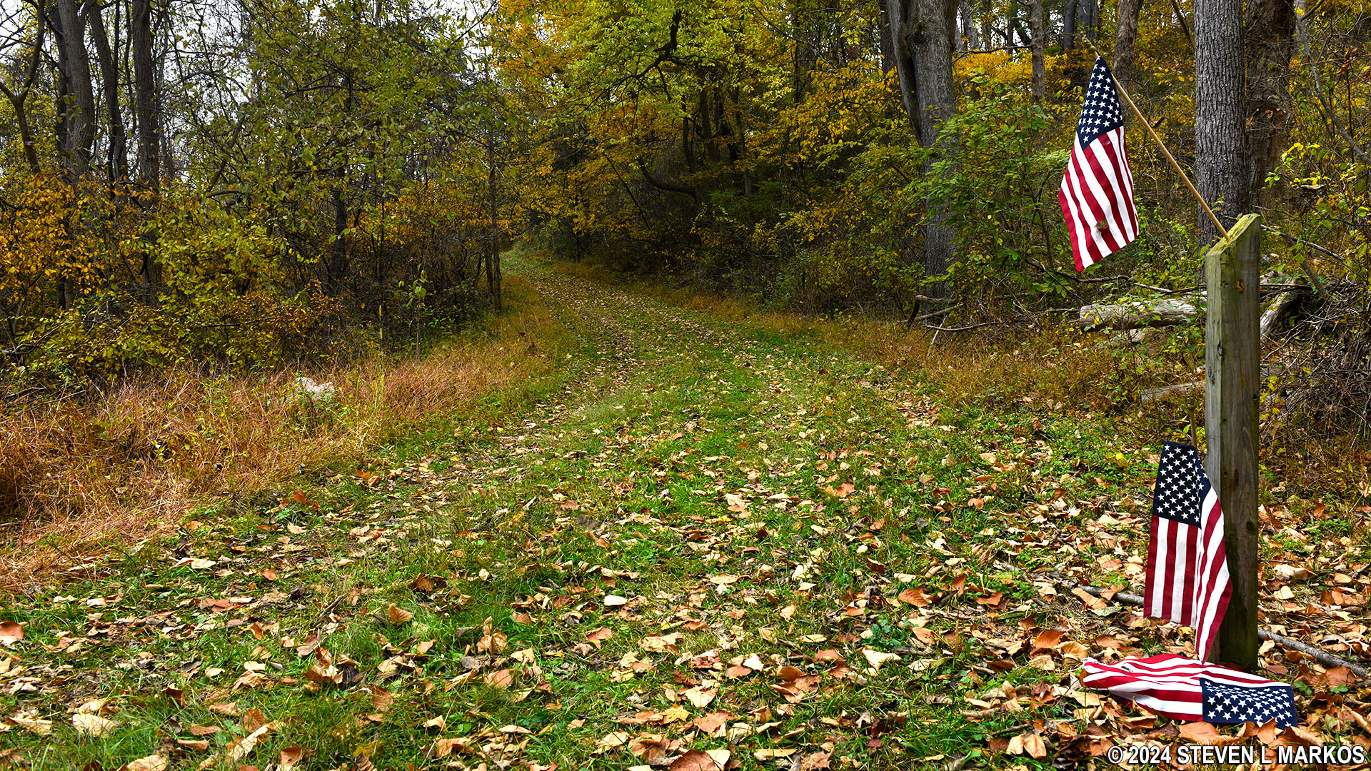
Eastern trailhead at Walpack Center for the Military Road Trail in Delaware Water Gap National Recreation Area
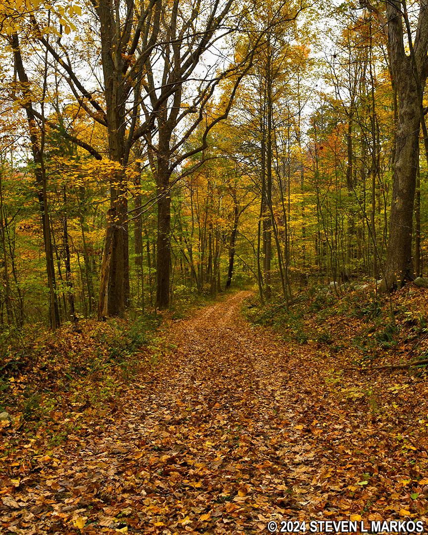
Between Walpack Center and Old Mine Road is a ridge that the Military Road Trail goes up and over. To imagine the layout, think of a simple line drawing of a volcano. The trail goes up one side, dips down and out of the shallow crater, and then heads back down the other side. The slopes of the ridge are quite steep, but hiking up or down them is never strenuous.
It is only a quarter mile from the trailhead at Walpack Center to the top of the ridge, but it is uphill all the way. The first 100 yards has a very steep grade of 20% (15% is considered the start of strenuous hiking), but beyond that the grade averages a more agreeable 13%.
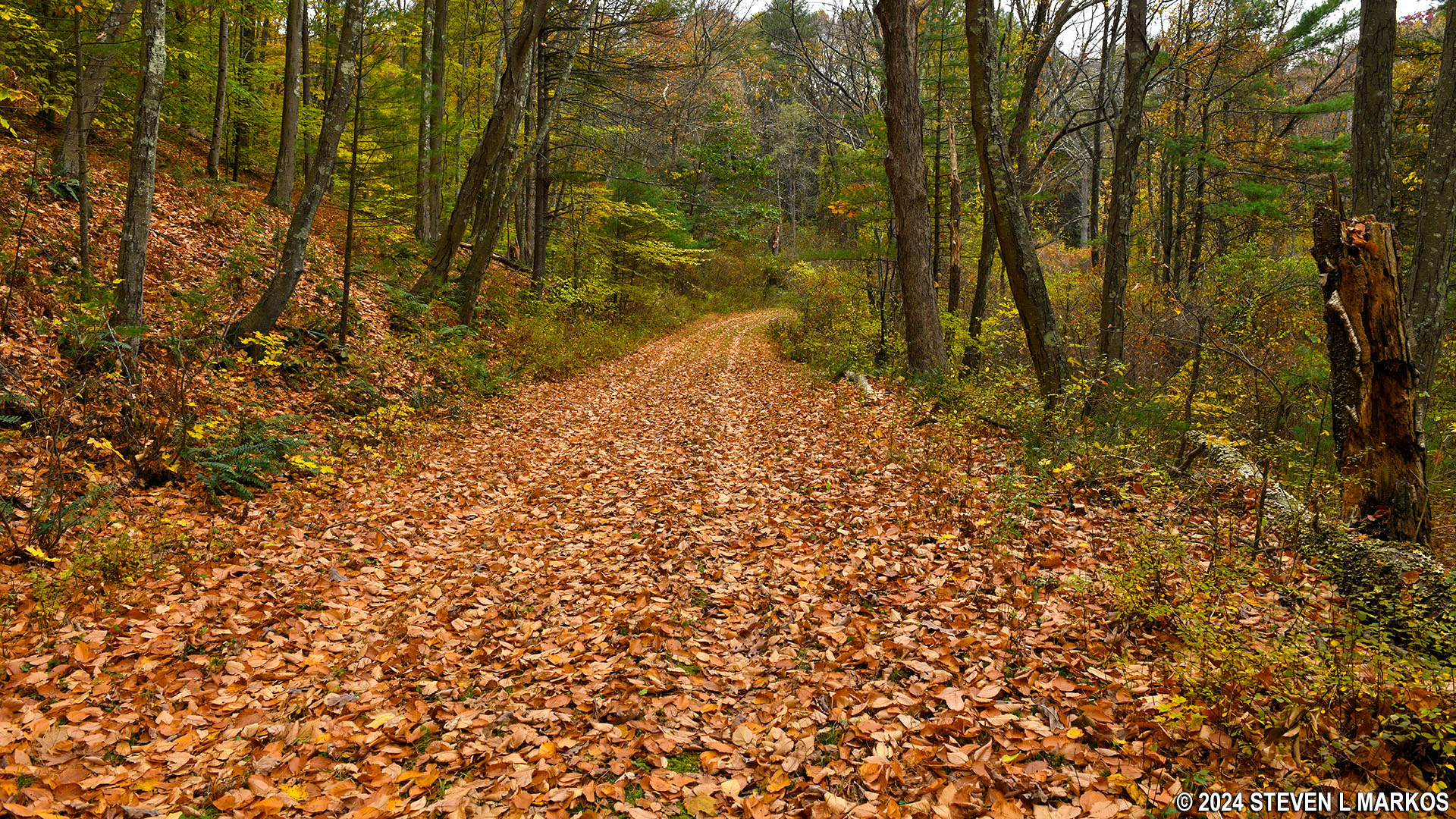
Typical hilly terrain on east side of the Military Road Trail in Delaware Water Gap National Recreation Area
The eastern intersection with the Walpack Ridge Trail is at the top of the hill. As mentioned, I first hiked the Military Road all the way to the end, so I just kept straight. The trail dips down into the crater—if you are still thinking of a volcano—but the descent is so mild that it might as well be considered level. However, the hike out of the crater, which comes a quarter mile later, is another one of those 100-yard stretches of moderate difficulty (13% average grade).
Steep hill on the western side of the Military Road Trail in Delaware Water Gap National Recreation Area
At the top of the hill is the western intersection with the Walpack Ridge Trail, and just beyond that, the Military Road Trail begins its final descent towards Old Mine Road.

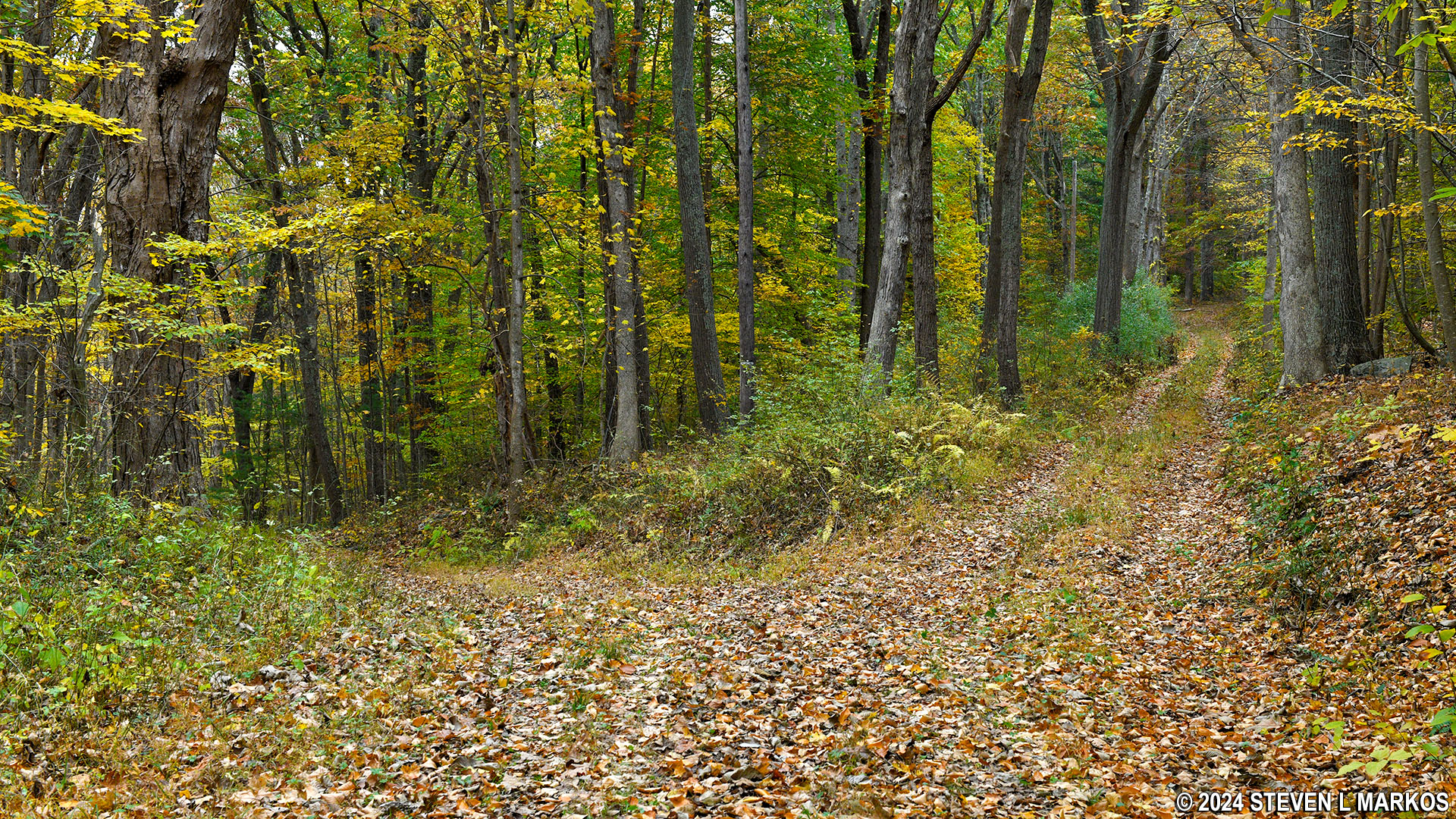
Western intersection of the Military Road and Walpack Ridge trails in Delaware Water Gap National Recreation Area
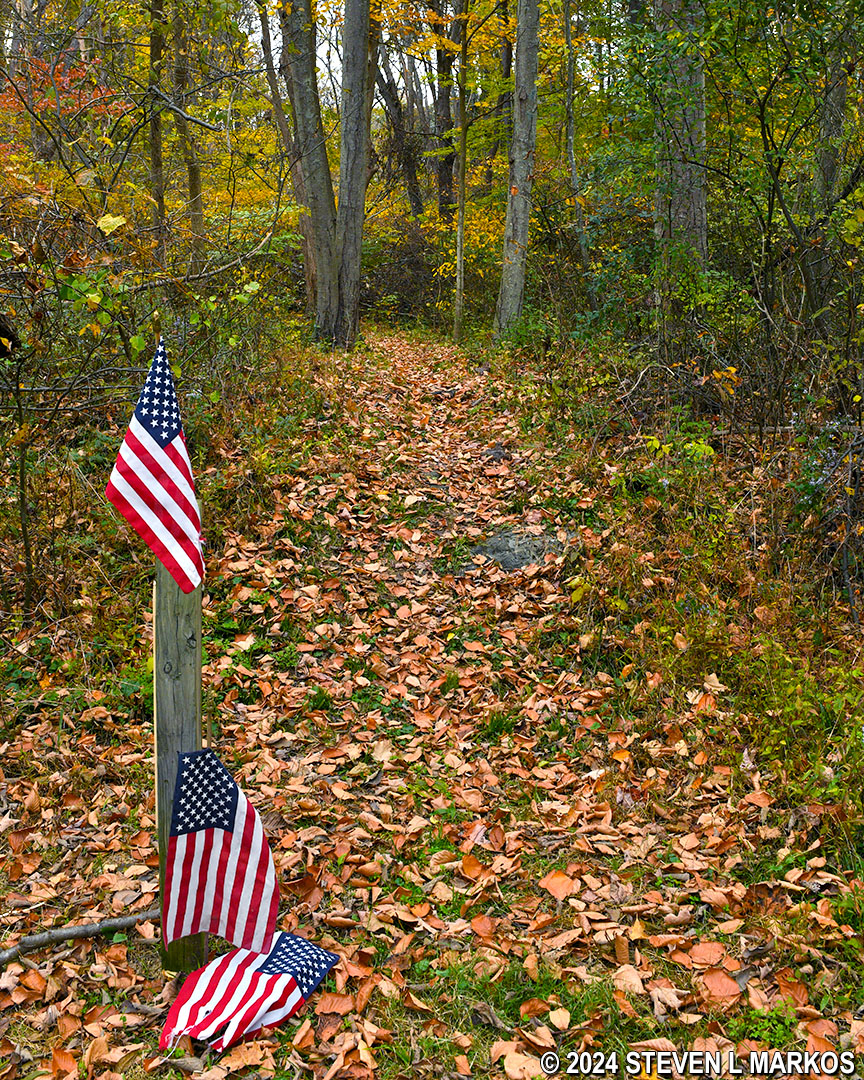
There is another intersection less than a tenth of a mile past the Walpack Ridge Trail, this time with another old road, Ridge Road. There is no directional signage at the intersection, and because both look like roads, it’s anyone’s guess as to which one to take. To make matters worse, this intersection is not on the trail map provided in the Guide to the Gap, the National Park Service’s free tabloid-size publication with maps of all the trails within Delaware Water Gap National Recreation Area. I have, however, added it to the trail map on this page (corrections are in RED). Stay to the left at the fork to remain on the Military Road Trail.
Intersection of the Military Road Trail and Ridge Road in Delaware Water Gap National Recreation Area
There are two downhill segments with a short level area in between on the way to Old Mine Road. The first hill is a quarter mile long, and like the hike up, it is moderate in difficulty with an average grade of 12%.
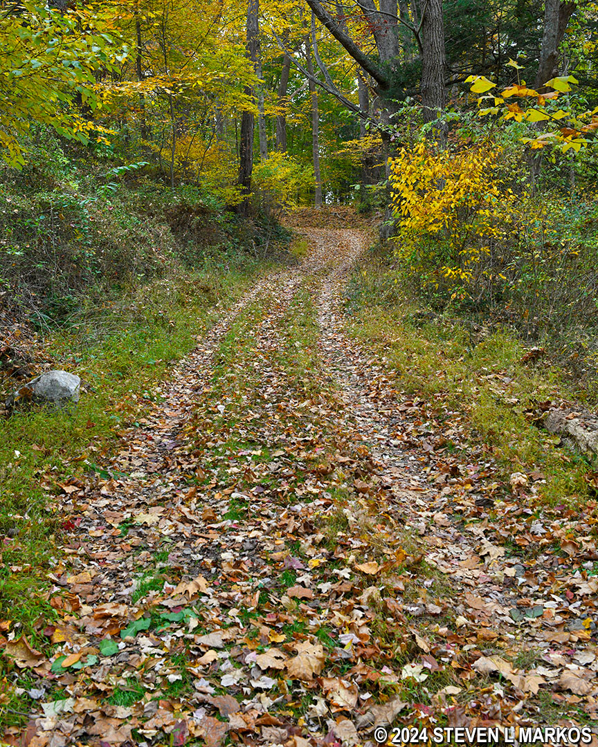
Typical terrain on the western slope of the Military Road Trail near Old Mine Road, Delaware Water Gap National Recreation Area
At the bottom of the first hill is a post with the words “SLAVE CEMETERY” scratched into it, and behind it is a short trail that does indeed lead to an old slave cemetery. Field stones mark the graves. Slavery was legal in New Jersey until 1846, and a number of prominent citizens in the area had slaves, including the Van Campens, Rosenkrans, and Dewitts.
Post marking the detour to an old slave cemetery on the Military Road Trail in Delaware Water Gap National Recreation Area
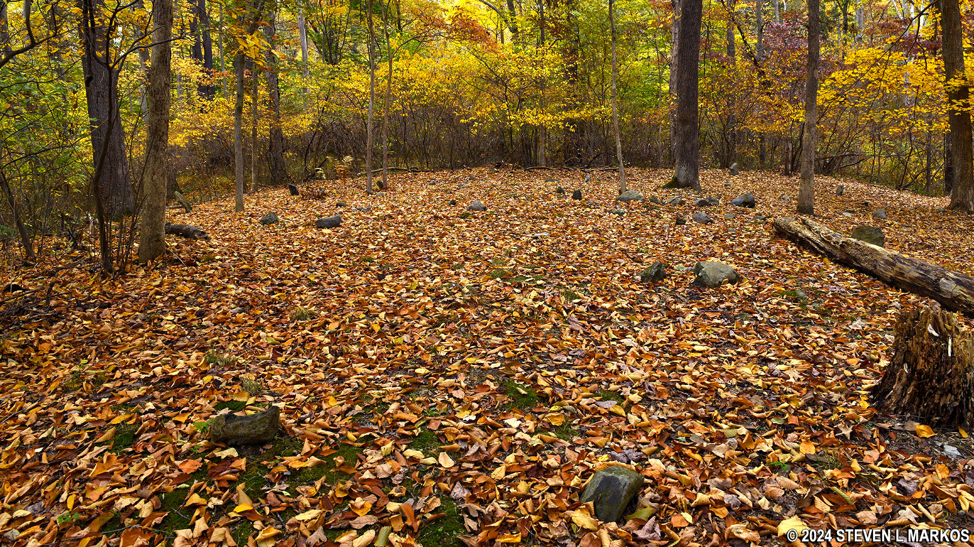
Slave cemetery on the Military Road Trail in Delaware Water Gap National Recreation Area
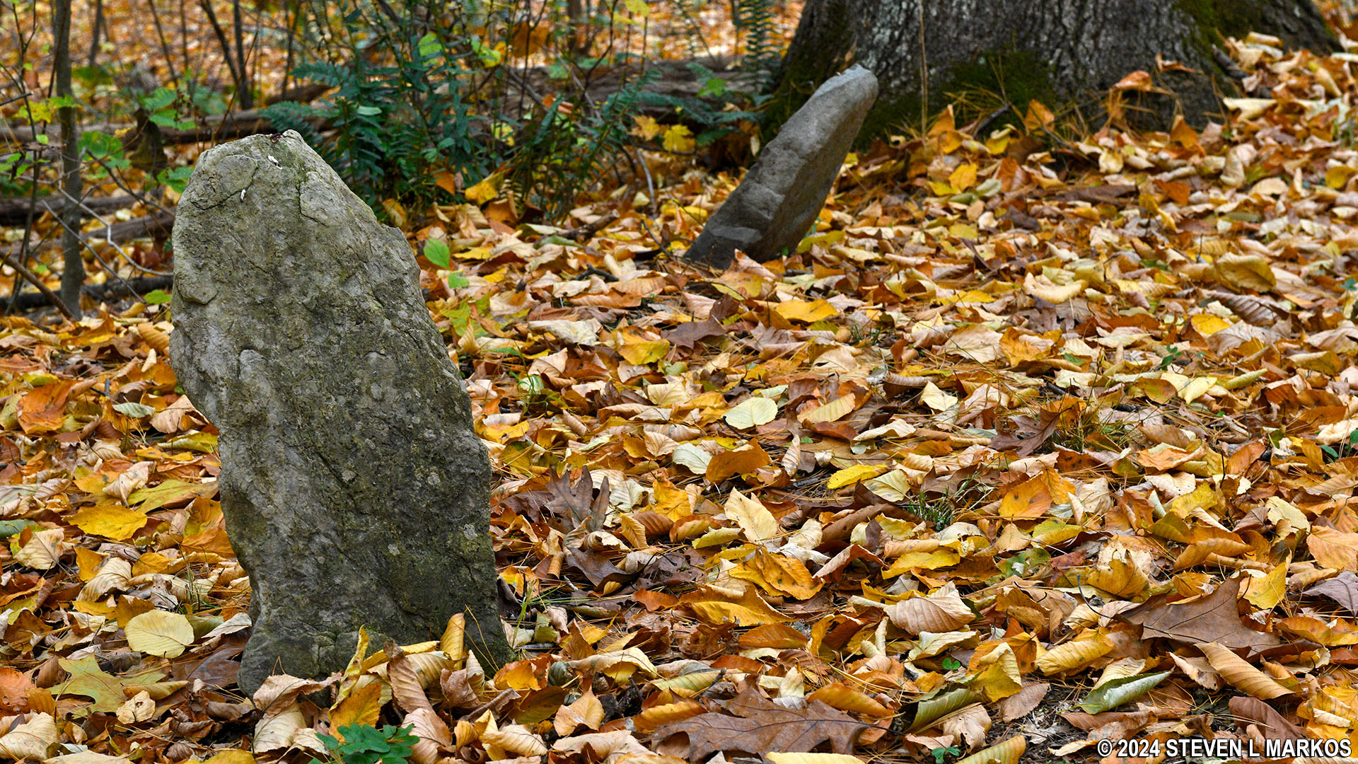
Field stones mark the graves in a slave cemetery on the Military Road Trail in Delaware Water Gap National Recreation Area
A couple minutes beyond the slave cemetery is another post. On the opposite side of the road is a short trail that leads to the ruins of an old farmhouse, and behind the post are two tombstones in a little alcove. The larger tombstone is for Moses Hull, who was born in 1822 and died in 1866. The smaller one is for his son, Victor, born 1860 and died 1873. Hull is not a historical figure or anyone of importance. He and his son were just ordinary residents of Walpack Center who are actually buried in a family plot in the Lower Walpack Cemetery with a newer monument for the entire family. These old tombstones were apparently discarded and then later found in a field along the Delaware River. Seeing that the two Hulls already had a plot in the cemetery, the Powers That Be thought the tombstones should be placed along Military Road where Hull owned property. They have been at this location for over fifty years.

Post on the Military Road Trail marking the Hull tombstones and ruins of an old farmhouse in Delaware Water Gap National Recreation Area

Tombstones along the Military Road Trail of Moses and Victor Hull, Delaware Water Gap National Recreation Area
On the other side of the road is a short trail—less than a minute’s walk—that leads to the ruins of Fort John (aka Fort Shapanack). There were more than a dozen small forts built along the Delaware River during the French and Indian War. The forts typically consisted of a blockhouse (observation tower) and a stone house strong enough to withstand attacks, all of which were surrounded by a palisade wall. During an attack by the French or their allies in this area, the Delaware Indians, the forts were the places where local citizens could fall back to for protection.
The stone houses often doubled as private residences for the family that owned the property on which the fort was built, and many prominent families had such houses / forts. What remains of Fort John is the ruins of a stone farmhouse owned by Colonel John Rosenkrans that was built around 1756 and remained in use as a fort until the end of the American Revolution. The Rosenkrans’ fort was the headquarters for all of Sussex County. The Van Campen Inn just round the corner from the Old Mine Road trailhead was also used as a safehouse during attacks.
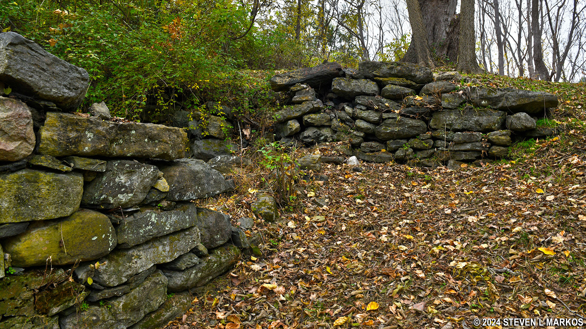
Ruins of John Rosenkrans’ farmhouse just off the Military Road Trail in Delaware Water Gap National Recreation Area
Old Mine Road is just down the hill a tenth of a mile from the tombstones and the farmhouse ruins. I didn’t have a ride at the end, so I turned around and started back towards Walpack Center, only this time I took the Walpack Ridge Trail. Total distance of the entire hike on both trails is 4.6 miles.
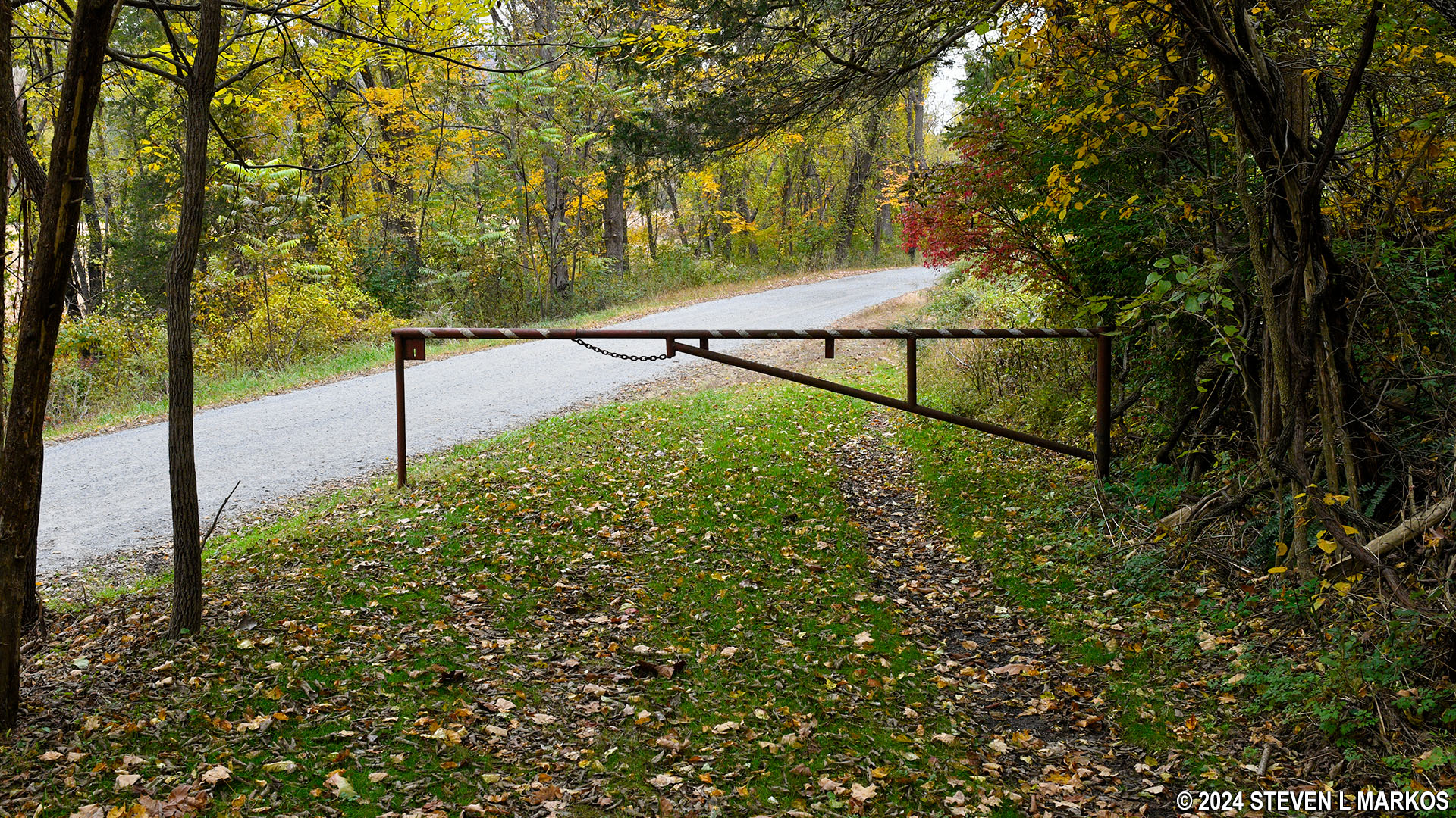
The Military Road Trail at Old Mine Road in Delaware Water Gap National Recreation Area
Western trailhead on Old Mine Road for the Military Road Trail in Delaware Water Gap National Recreation Area
With a few exceptions, use of any photograph on the National Park Planner website requires a paid Royalty Free Editorial Use License or Commercial Use License. See the Photo Usage page for details.
Last updated on February 8, 2024


