
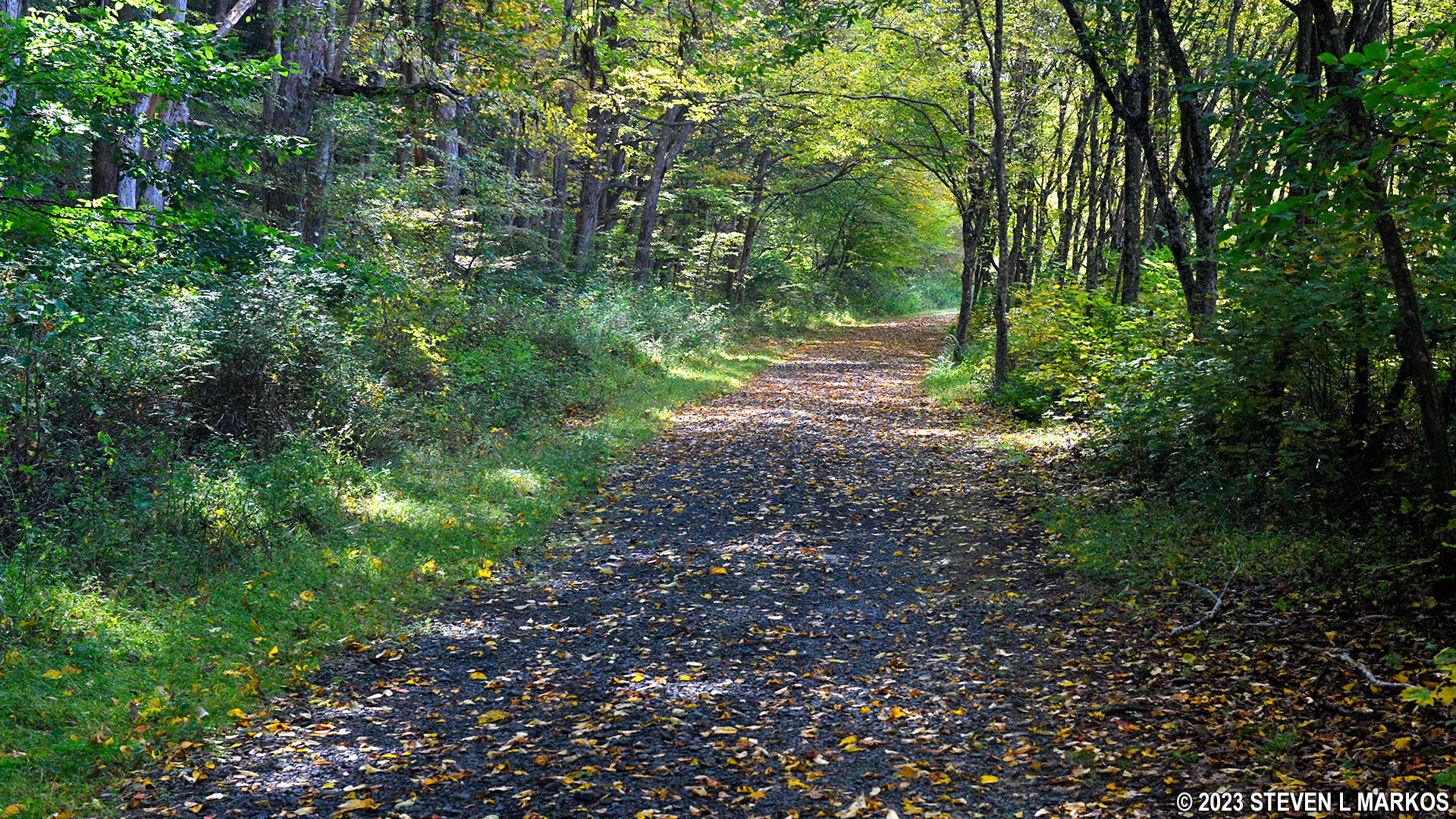
McDade Trail between the Bushkill Village Trailhead and the Delaware Water Gap National Recreation Area Park Headquarters
Note: There are mile marker posts along the McDade Trail just as there are along a highway. Trail miles are counted south to north, with Mile 0 being at the southern trailhead at Hialeah. Since this report is written from the perspective of traveling south from Bushkill Village to the Park Headquarters, the accounting of the trail miles covered on the trip is in reverse order.
Trail Miles Covered: 8.2 to 6.2
Length: 2 miles
Difficulty: Moderate with a few short-but-strenuous hills
River Run Shuttle: The shuttle can be flagged down from the Bushkill Village parking lot and from the Park Headquarters if you walk out to River Road.
The Buskhill Village Trailhead is located at the back of the parking lot for the Bushkill Meeting Center on Milford Road. A short connector leads from the parking lot to the McDade Trail.
Starting south of Dingmans Campground, the McDade Trail has been fairly level with only minor hills. Well, the fun ends at Bushkill Village. The trail immediately veers away from the road at this point and heads southeast for .4 mile before making a big curve back to the west towards the main road. It is at this curve where a steep hill begins and runs for about a tenth of a mile. I didn’t even attempt to ride my bike up it, though that decision was largely due to just being tired after biking nearly 23 miles from Milford Beach.
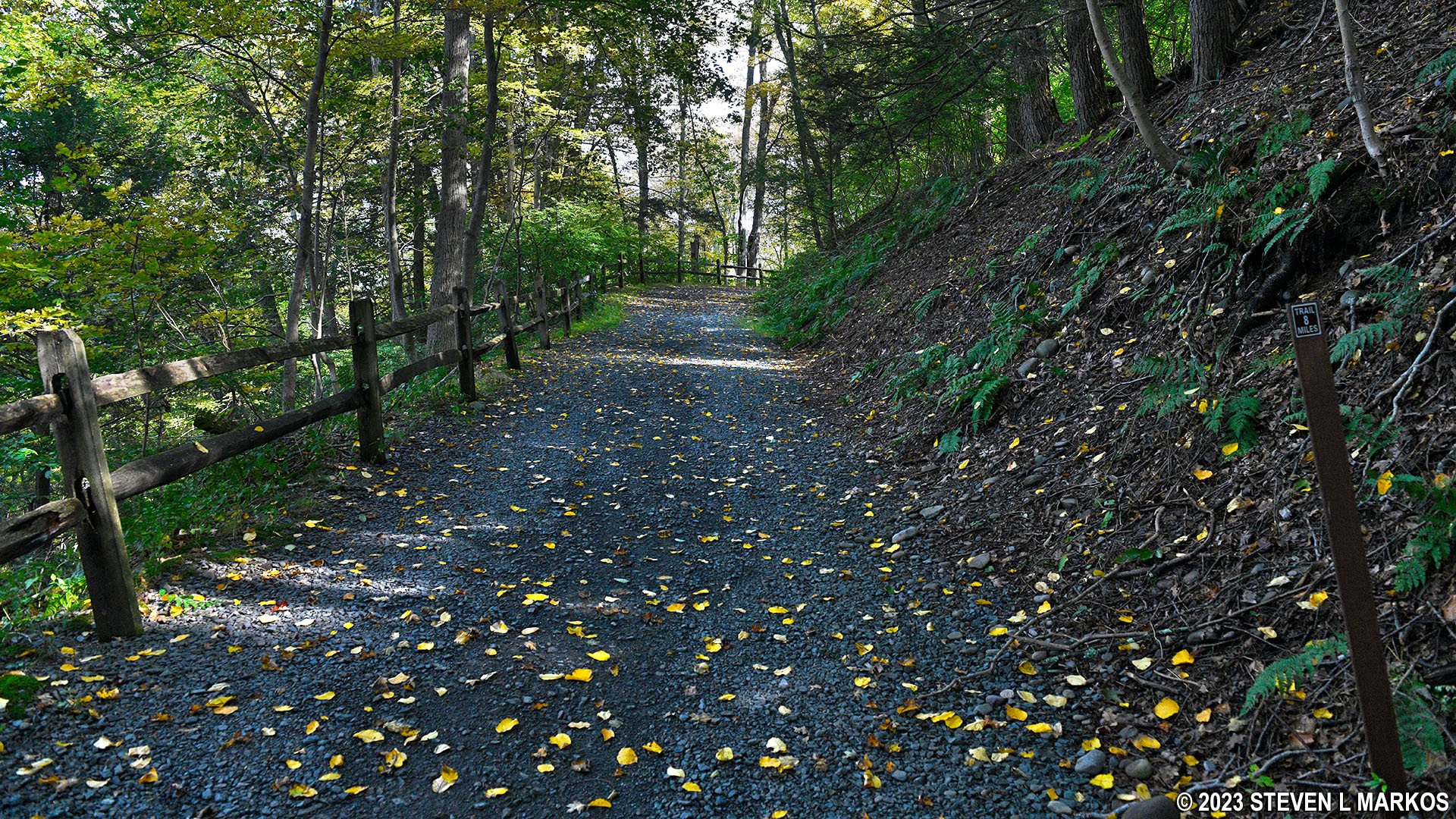
Hilly terrain along the McDade Trail between the Bushkill Village Trailhead and the Delaware Water Gap National Recreation Area Park Headquarters
Once at the top of the hill, the McDade Trail flattens out and remains that way for .4 mile until coming to a fork. A right leads down to Community Drive, the road to the Delaware Water Gap National Recreation Area Park Headquarters, the main visitor center for the park. Stay left to remain on the trail, and as you can see in the photo below, you’ll immediately be heading up another hill.
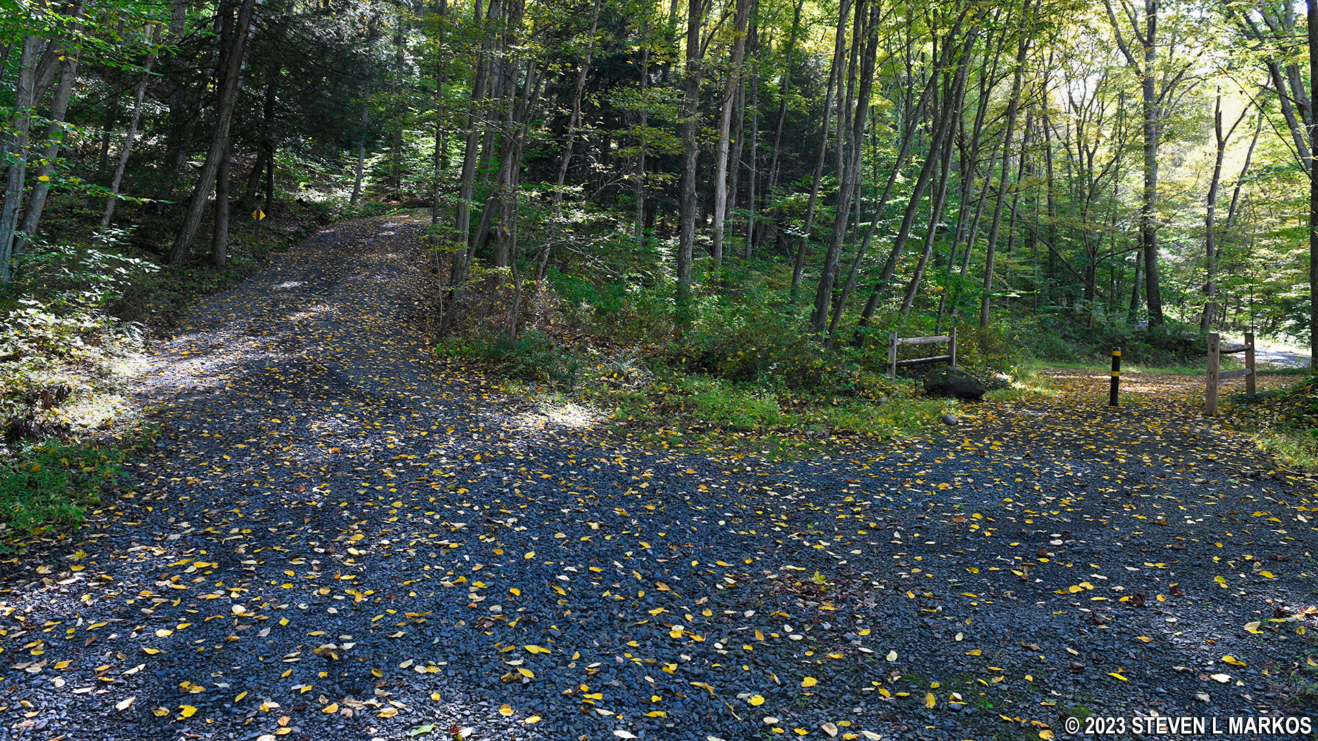
Fork in the McDade Trail to Community Drive, the road to the Delaware Water Gap National Recreation Area Park Headquarters
At this point, the McDade Trail parallels Community Drive and heads up a quarter-mile-long hill, with the first hundred feet being exceptionally steep (a 27% average grade; 15% is where strenuous begins). The grade tappers off to 13% for the next 400 feet, and after that the climb is much easier with an average grade of around 8%. I walked up the first 500 feet but had no problem on the rest of the hill.
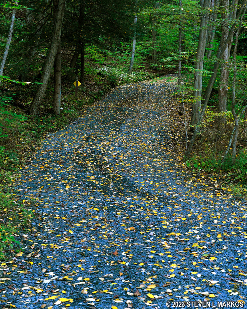
Steep hill on the McDade Trail as it follows along Community Drive near the Delaware Water Gap National Recreation Area Park Headquarters
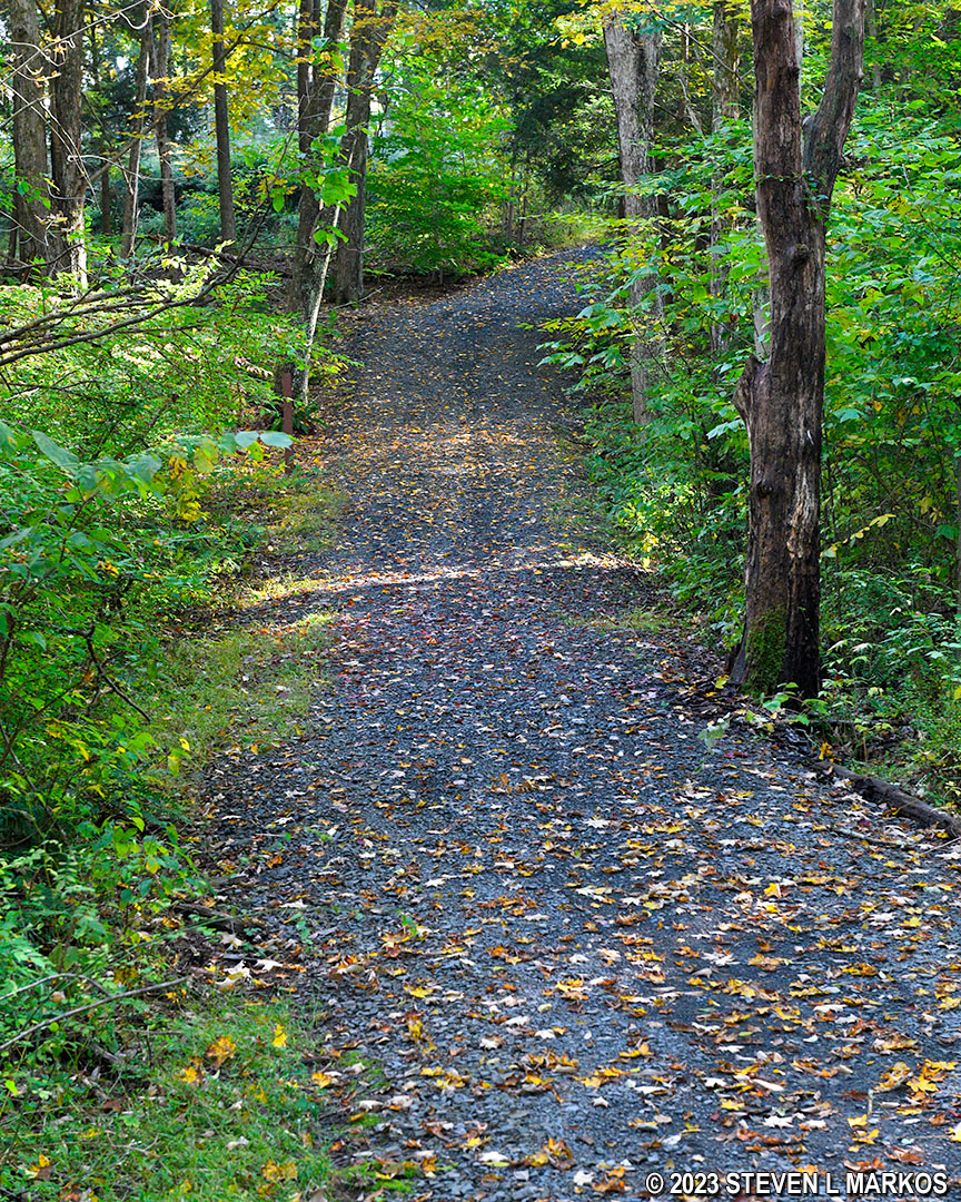
Once at the top of the hill, the McDade Trail finds itself once again on level terrain for the next half mile. Along this stretch are a few old farm buildings and a pond.
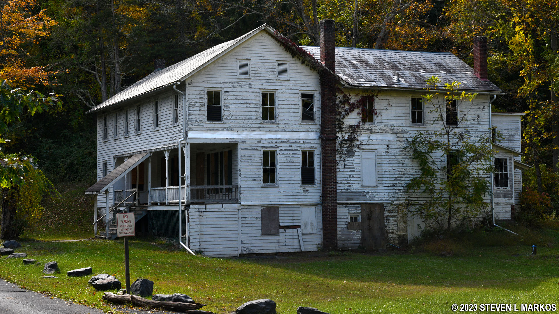
Farm building along the McDade Trail north of the Delaware Water Gap National Recreation Area Park Headquarters
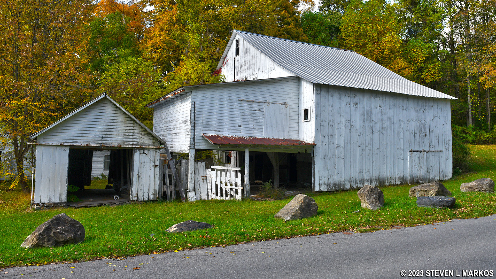
Old barn along the McDade Trail north of the Delaware Water Gap National Recreation Area Park Headquarters
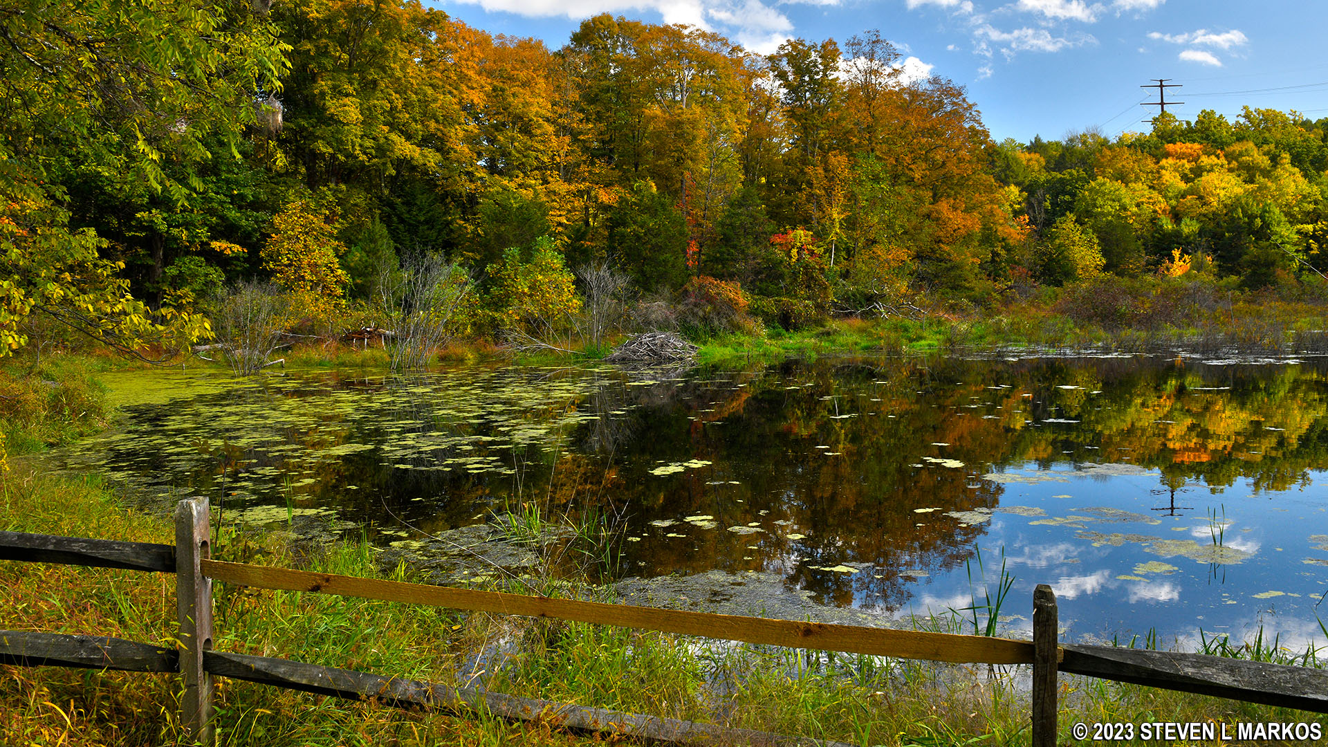
Pond along the McDade Trail north of the Delaware Water Gap National Recreation Area Park Headquarters
One of the buildings south of the pond, a red barn, is right next to the trail. It’s about to fall apart, so I don’t know why the National Park Service hasn’t torn it down (maybe it will by the time you hike the trail). Anyone passing by can walk right on in.
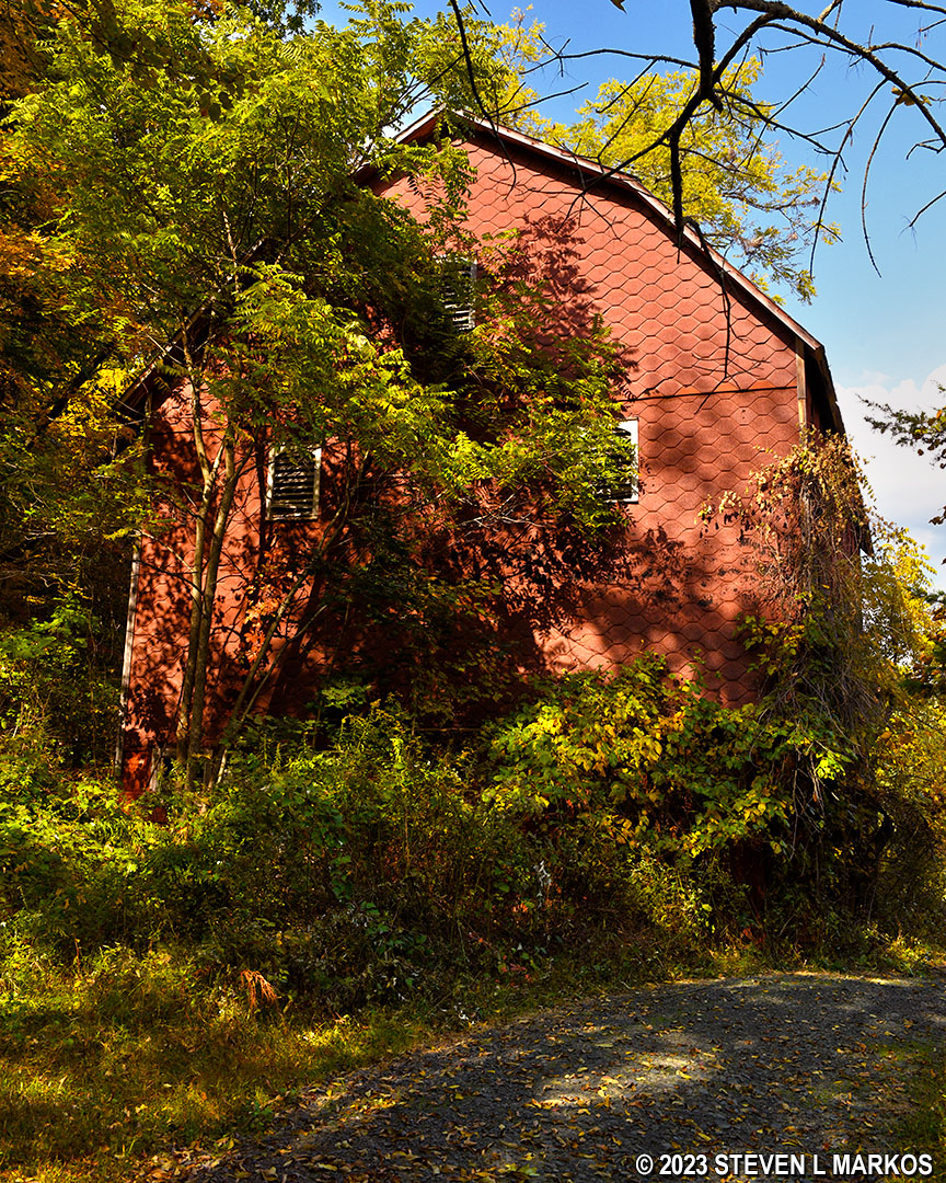
Deteriorated red barn along the McDade Trail north of the Delaware Water Gap National Recreation Area Park Headquarters
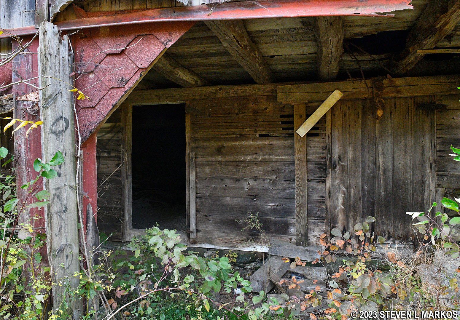
Deteriorated red barn along the McDade Trail north of the Delaware Water Gap National Recreation Area Park Headquarters
A few hundred yards past the barn is another hill, very similar to the previous one. It is .15 mile long with the first 150 feet having an average grade of 18% and the rest of the climb averaging just 7%.
Steep hill on the McDade Trail just north of the Delaware Water Gap National Recreation Area Park Headquarters
Once at the top of the hill, it’s another .3 mile to the Park Headquarters, downhill half the way and uphill the other. However, most of these hills are only moderate in difficulty (10% grades).
If you are looking for information on Delaware Water Gap National Recreation Area, stop in the headquarters building if it is open. There is a souvenir store inside, but no exhibits worth mentioning.

Delaware Water Gap National Recreation Area Park Headquarters
Next Section South | Next Section North | McDade Trail Home Page
With a few exceptions, use of any photograph on the National Park Planner website requires a paid Royalty Free Editorial Use License or Commercial Use License. See the Photo Usage page for details.
Last updated on January 23, 2024


